GO HIKE COLORADO
Get in Touch:
  • HOME
  • ABOUT
  • HIKES BY REGION
    • DENVER AREA >
      • Denver Mountain Parks
      • Jefferson County Open Space
      • Lakewood Parks
      • Denver Area Greenways
    • BOULDER AREA
    • DOUGLAS COUNTY
    • FORT COLLINS AREA
    • COLORADO SPRINGS AREA
    • FRONT RANGE
    • TENMILE & MOSQUITO RANGES
    • GORE RANGE
    • SANGRE DE CRISTO MOUNTAINS
    • PARK RANGE
    • SAWATCH RANGE
    • ELK MOUNTAINS
    • SAN JUAN MOUNTAINS
    • THE FLAT TOPS
    • GRAND MESA
    • COLORADO PLATEAU
    • EASTERN PLAINS
  • NATIONAL PARK HIKES
    • BENT'S OLD FORT NATIONAL HISTORIC SITE
    • BLACK CANYON OF THE GUNNISON NATIONAL PARK
    • COLORADO NATIONAL MONUMENT
    • CURECANTI NATIONAL RECREATION AREA
    • DINOSAUR NATIONAL MONUMENT
    • FLORISSANT FOSSIL BEDS NATIONAL MONUMENT
    • MESA VERDE NATIONAL PARK
    • ROCKY MOUNTAIN NATIONAL PARK
    • GREAT SAND DUNES NATIONAL PARK
    • HOVENWEEP NATIONAL MONUMENT
    • SAND CREEK MASSACRE NATIONAL HISTORIC SITE
    • YUCCA HOUSE NATIONAL MONUMENT
  • HIKES BY CATEGORY
    • HIKES TO ALPINE LAKES
    • HIKES TO PEAKS & PASSES
    • HIKES THROUGH CANYONS
    • HIKES WITH FALL COLORS
    • HIKES ALONG THE I-70 CORRIDOR
    • HIKES ON PAVED TRAILS
    • HIKES FOR KIDS
    • HIKES TO WATERFALLS
    • HIKES ALONG RIVERS
    • HIKES WITH ROCK FORMATIONS
    • HIKES WITH WILDFLOWERS
    • WINTER HIKES
  • NEWS
  • WEBCAMS
  • $UPPORT GHC
  • INTERACTIVE MAP

Mustang > Belcher Hill Loop
White Ranch Park

Date Hiked:July 31, 2013

​Distance: 4.5 mi (RT)

  • Elevation Gain: 1,019ft
  • Elevation Min/Max: 7,220 to 7,920ft
  • Managing Agency: Jefferson County Open Space
  • Fee: None

White Ranch Park Website
Picture

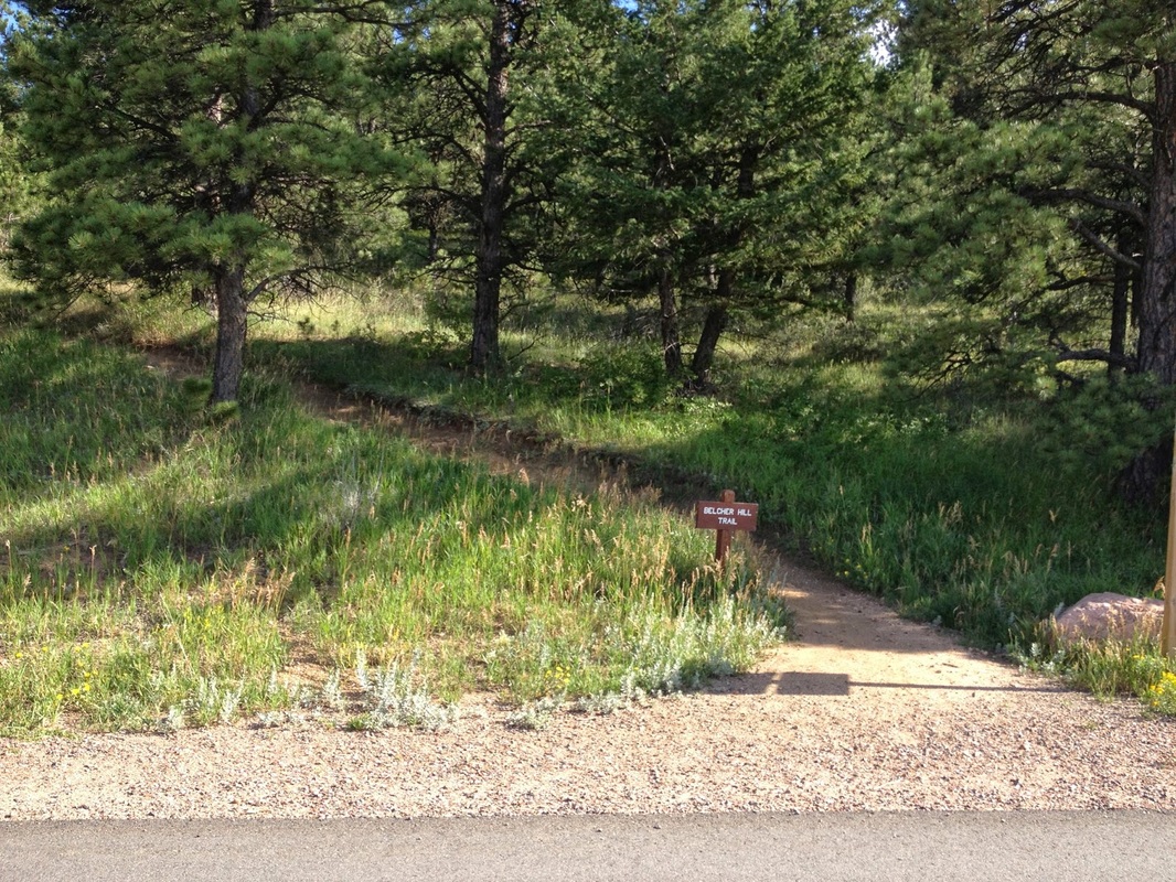
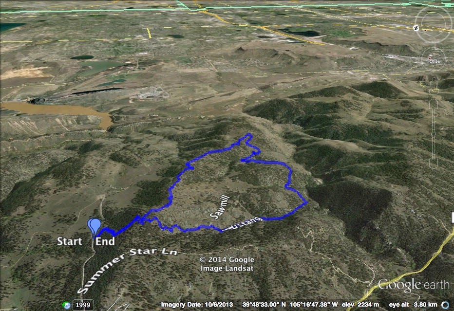
Directions:  From Denver, take I-70 west to Hwy 58 west to 93 north.  Turn left (west) on Golden Gate Canyon Road.  Head up the canyon and make a right onto Crawford Gulch Road.  Look for the signs pointing to the park and make a right onto Belcher Hill Road.  Take this road into the park and park at the small parking area uphill from the main parking area. 

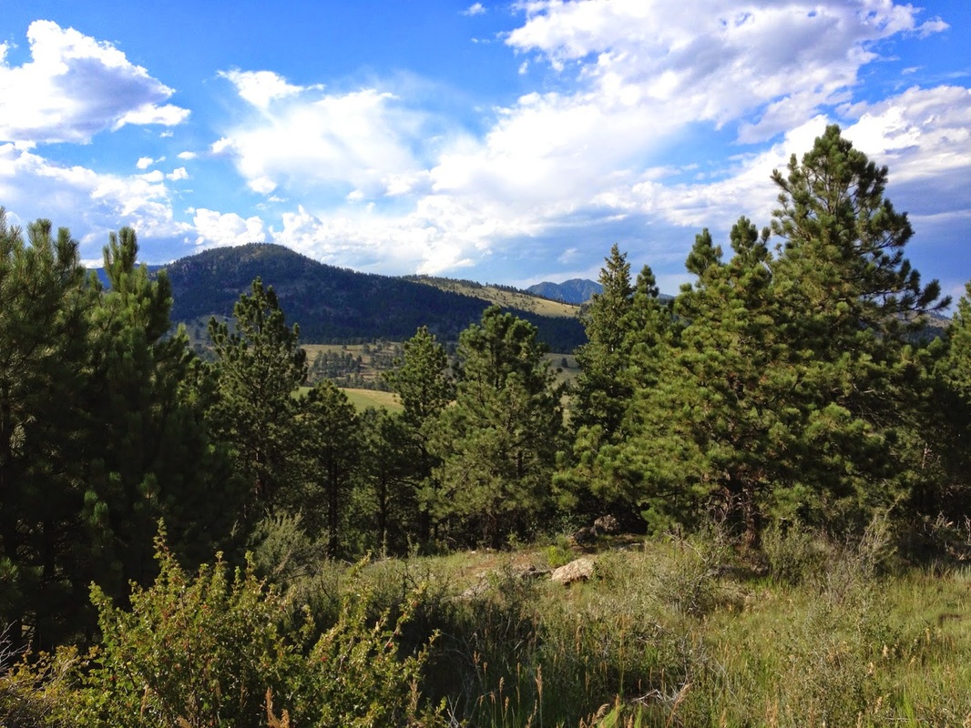
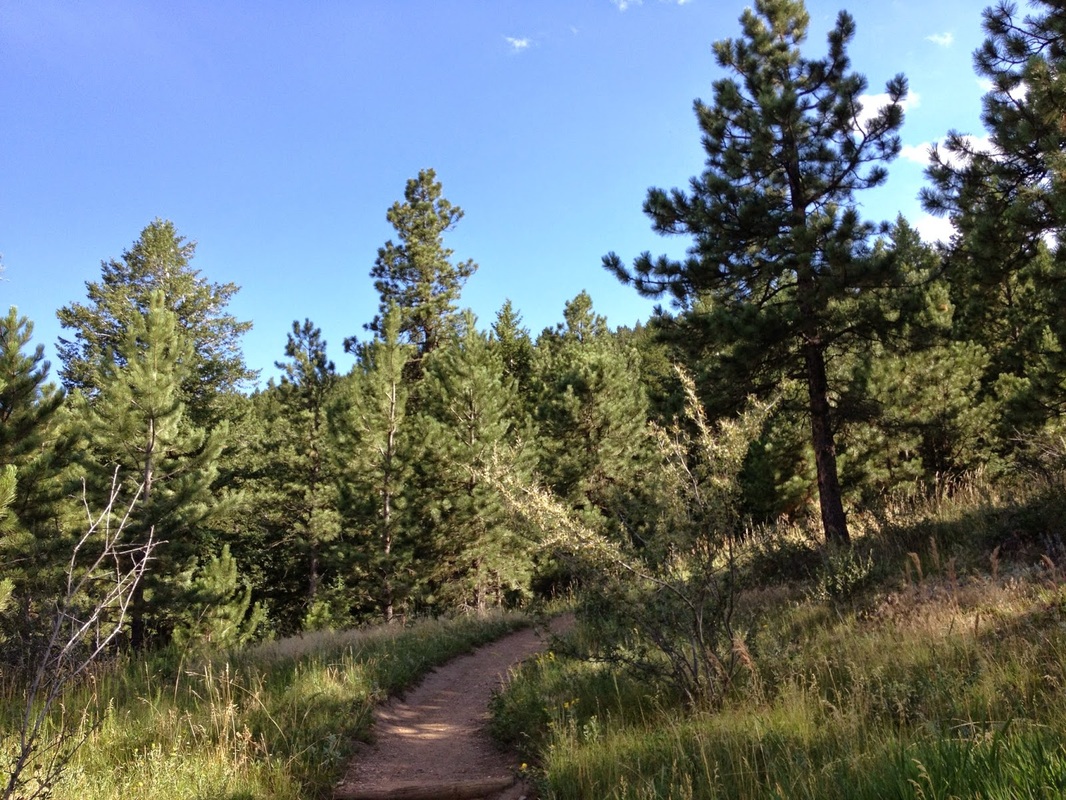
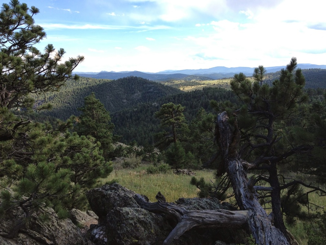
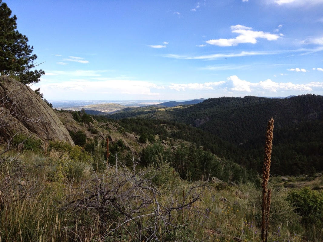
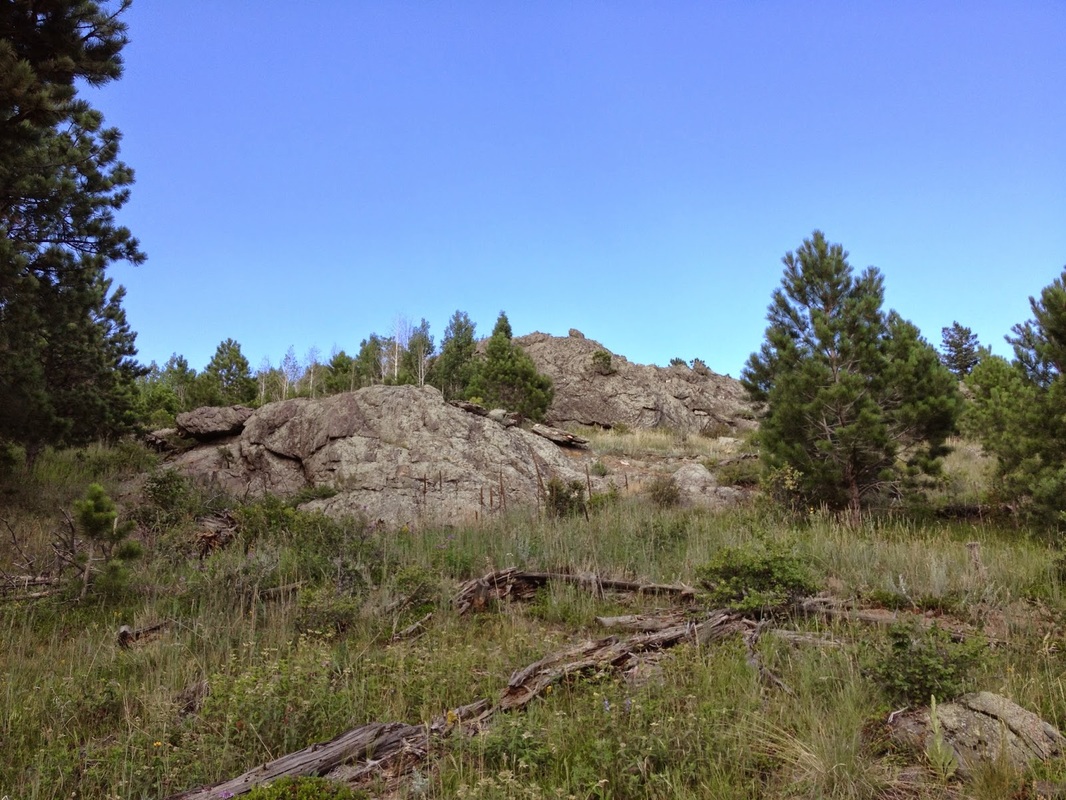
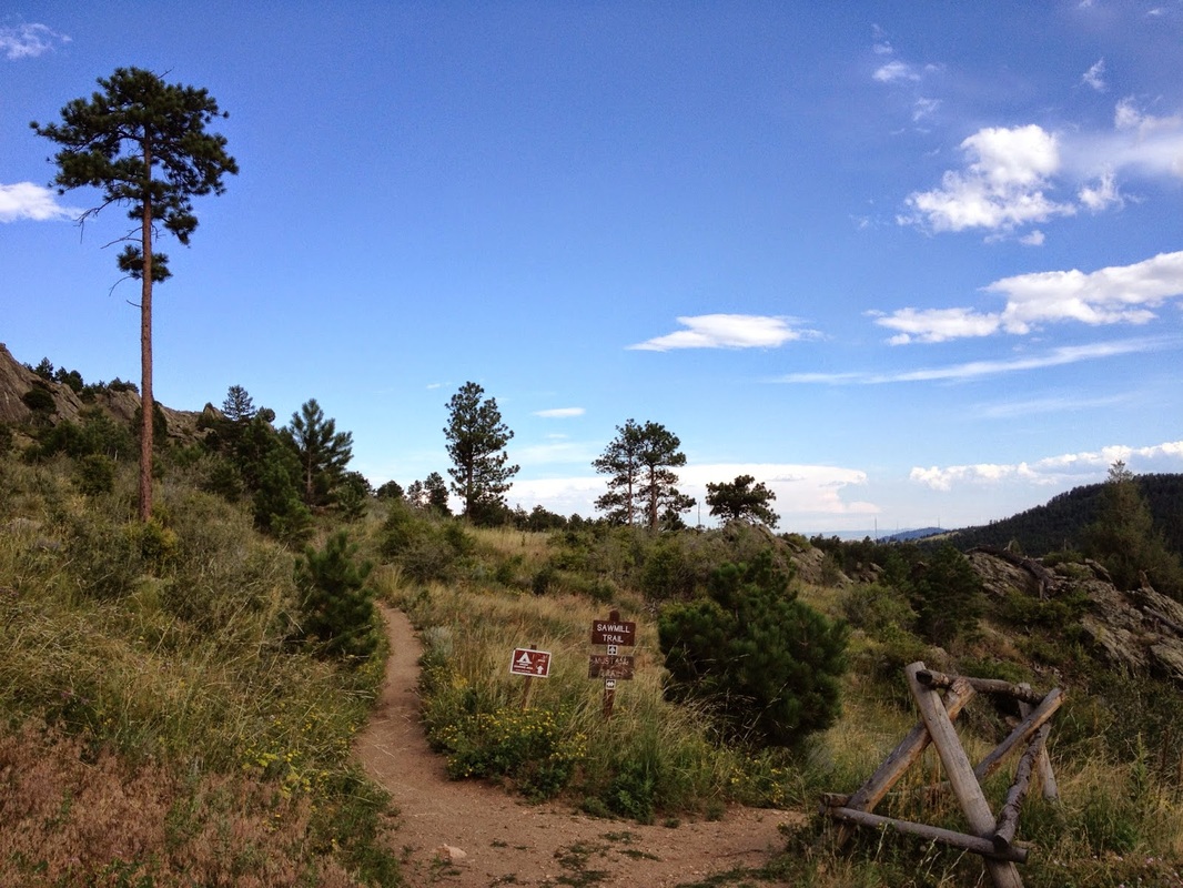
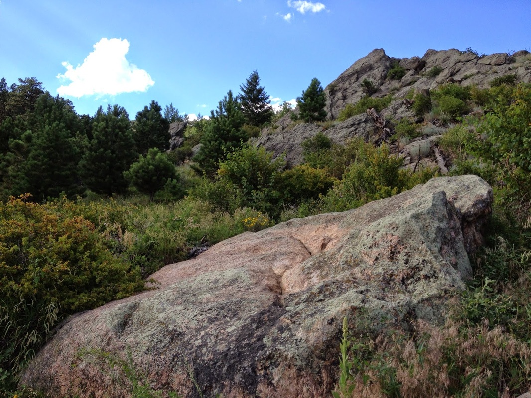
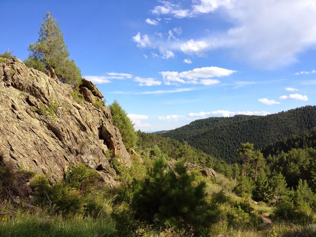
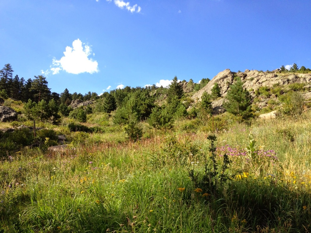
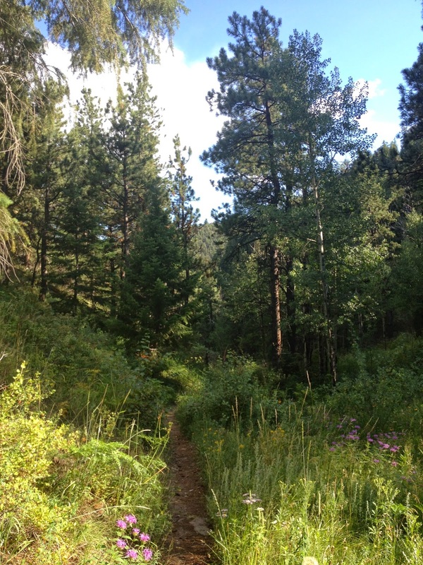
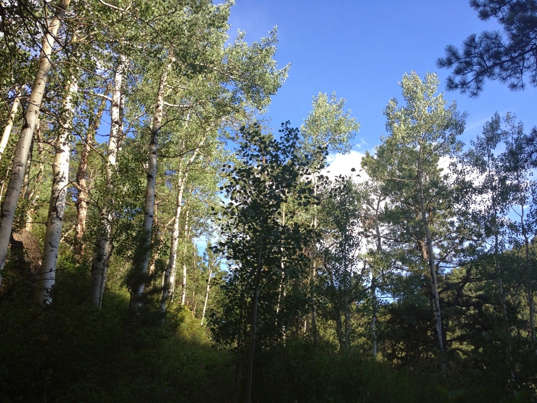
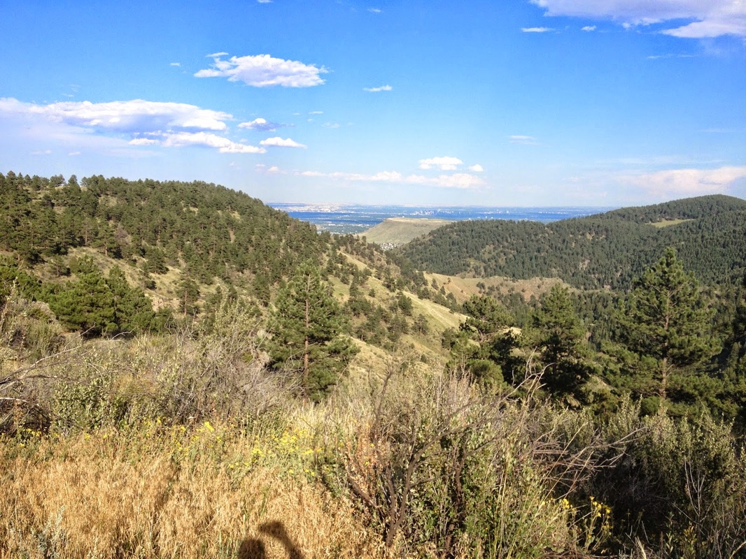
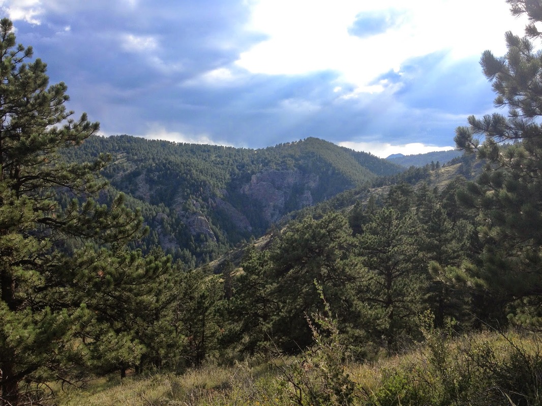
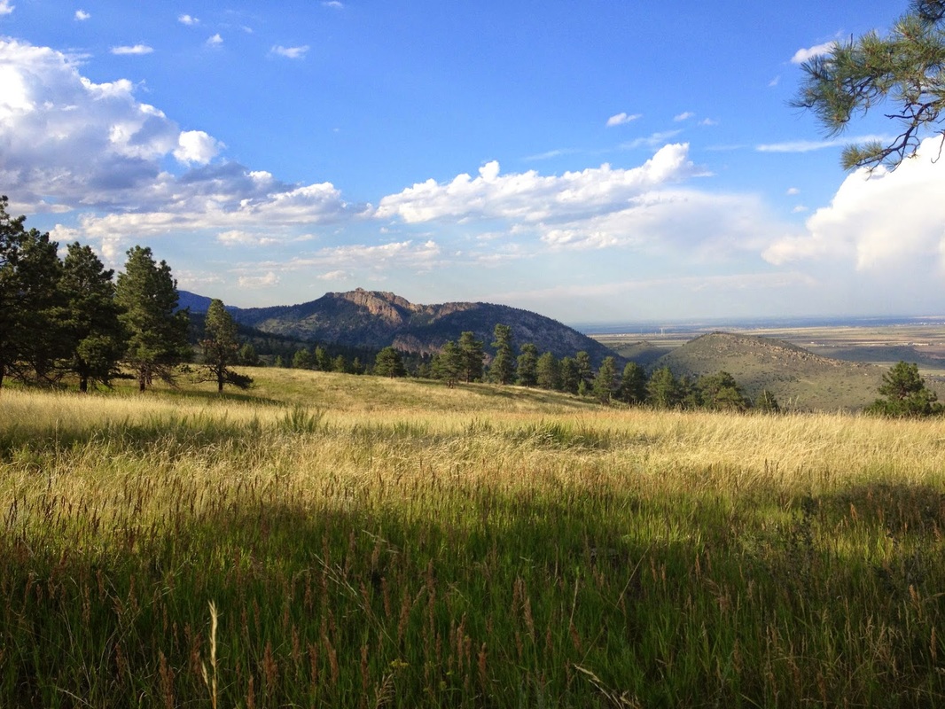
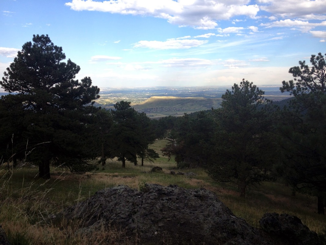
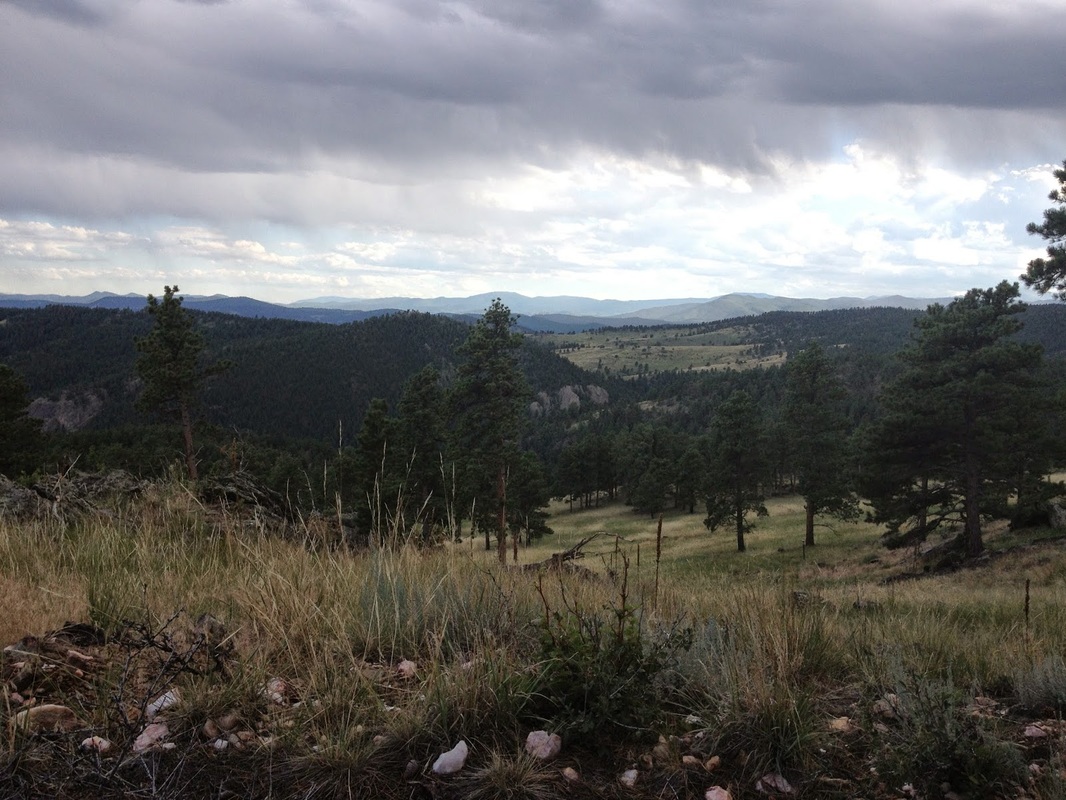
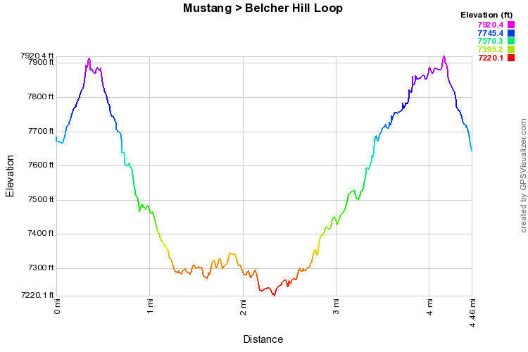
The Mustang/Belcher Hill Loop is a wonderful, seldom traveled trail in an otherwise popular Jeffco Open Space Park.  From the upper parking area, head up the Belcher Hill Trail through the forest to the top of Belcher Hill.  From here turn right onto the Mustang Trail and proceed down the side of Belcher Hill.  This stretch is a pleasure to hike.  The hillside is rocky, there is a "boardwalk" for the bikers, and in July the Wildflowers are amazing.  As the reach the bottom of the gully, you'll enter a pine and aspen forest, cross a creek and start heading back up the side of Belcher Hill.  When you get to the trail junction, turn left onto the Belcher Hill Trail and take this all the way back to the top of Belcher Hill...the views along this stretch are beautiful.  From the top of the hill wind you way back down to the parking area.
© Go Hike Colorado, 2020.  All Rights Reserved. 
Use of photographs without prior authorization is
​strictly prohibited.


Contact us at:
[email protected]
Legal Disclaimer - Information provided on this site is based upon our own observations, always double check information with the appropriate land management agency before heading into the backcountry.  Backcountry travel is inherently dangerous, please take all proper precautions.  Go Hike Colorado is not responsible for injury or incident.