GO HIKE COLORADO
Get in Touch:
  • HOME
  • ABOUT
  • HIKES BY REGION
    • DENVER AREA >
      • Denver Mountain Parks
      • Jefferson County Open Space
      • Lakewood Parks
      • Denver Area Greenways
    • BOULDER AREA
    • DOUGLAS COUNTY
    • FORT COLLINS AREA
    • COLORADO SPRINGS AREA
    • FRONT RANGE
    • TENMILE & MOSQUITO RANGES
    • GORE RANGE
    • SANGRE DE CRISTO MOUNTAINS
    • PARK RANGE
    • SAWATCH RANGE
    • ELK MOUNTAINS
    • SAN JUAN MOUNTAINS
    • THE FLAT TOPS
    • GRAND MESA
    • COLORADO PLATEAU
    • EASTERN PLAINS
  • NATIONAL PARK HIKES
    • BENT'S OLD FORT NATIONAL HISTORIC SITE
    • BLACK CANYON OF THE GUNNISON NATIONAL PARK
    • COLORADO NATIONAL MONUMENT
    • CURECANTI NATIONAL RECREATION AREA
    • DINOSAUR NATIONAL MONUMENT
    • FLORISSANT FOSSIL BEDS NATIONAL MONUMENT
    • MESA VERDE NATIONAL PARK
    • ROCKY MOUNTAIN NATIONAL PARK
    • GREAT SAND DUNES NATIONAL PARK
    • HOVENWEEP NATIONAL MONUMENT
    • SAND CREEK MASSACRE NATIONAL HISTORIC SITE
    • YUCCA HOUSE NATIONAL MONUMENT
  • HIKES BY CATEGORY
    • HIKES TO ALPINE LAKES
    • HIKES TO PEAKS & PASSES
    • HIKES THROUGH CANYONS
    • HIKES WITH FALL COLORS
    • HIKES ALONG THE I-70 CORRIDOR
    • HIKES ON PAVED TRAILS
    • HIKES FOR KIDS
    • HIKES TO WATERFALLS
    • HIKES ALONG RIVERS
    • HIKES WITH ROCK FORMATIONS
    • HIKES WITH WILDFLOWERS
    • WINTER HIKES
  • NEWS
  • WEBCAMS
  • $UPPORT GHC
  • INTERACTIVE MAP

Meadowlark / Plymouth Creek Loop
Deer Creek Canyon Park

Date Hiked: April 28, 2019
​

  • Distance: 2.6 mi (RT)
  • Elevation Gain: 526 ft elevation gain
  • Elevation Min/Max: 6,046 to 6,519 ft
  • Trailhead Lat/Long: 39º 32' 36" N; 105º 09' 08" W
  • Managing Agency: Jefferson County Open Space
  • Fee: None

Deer Creek Canyon Park Website
Picture

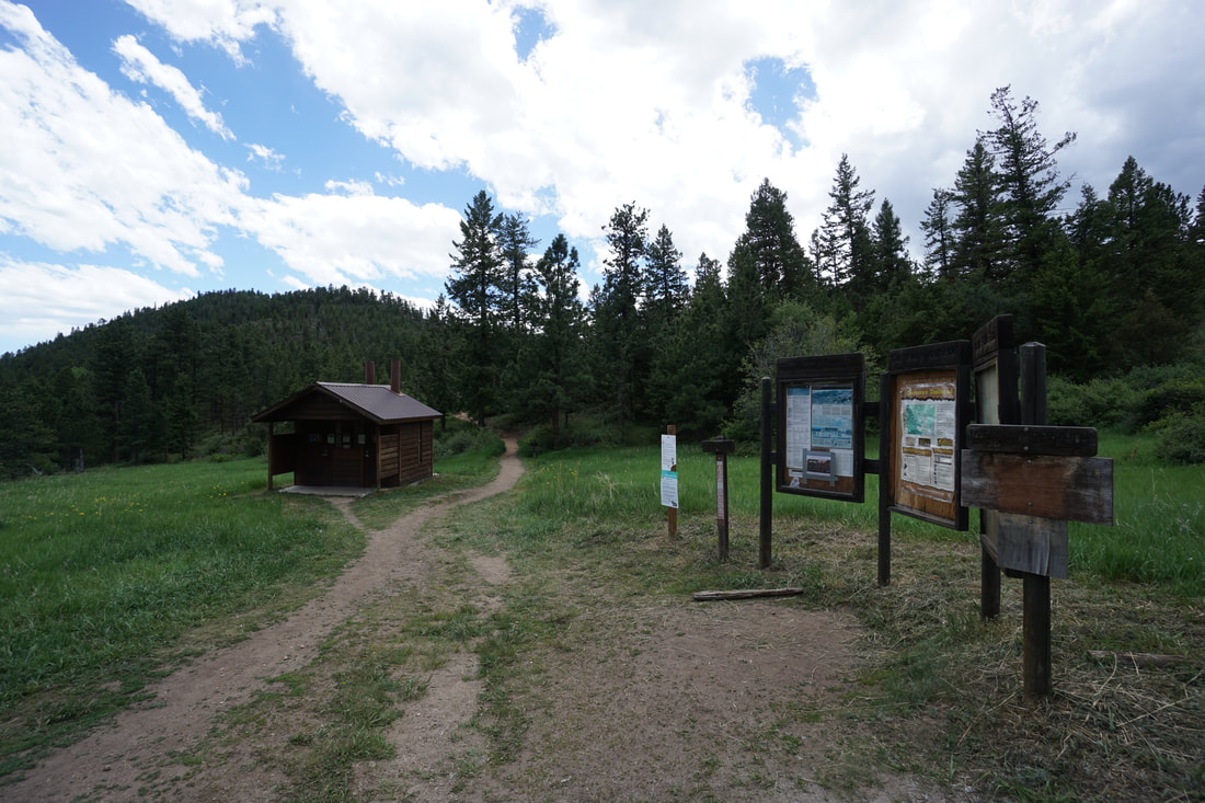
Directions:  From Denver take I-70 west to C470 east and exit at Deer Creek Canyon Road.  Take Deer Creek Canyon Road past the South Valley Park Trailhead and make a left at the park sign, onto Grizzly Drive.  Continue up the road and turn right into the main parking area.

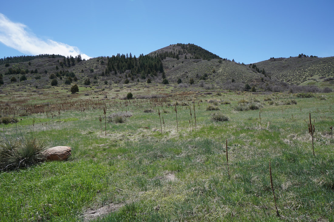
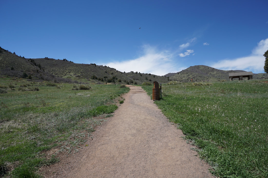
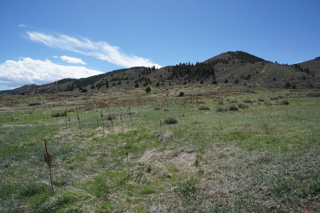
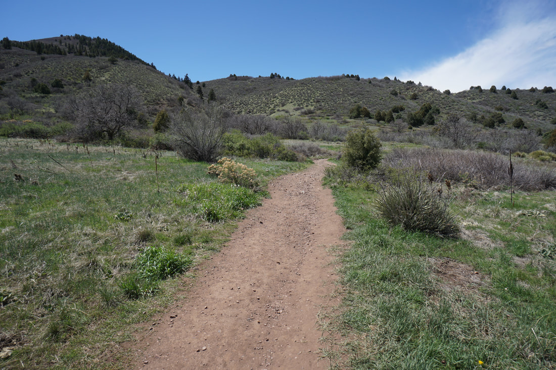
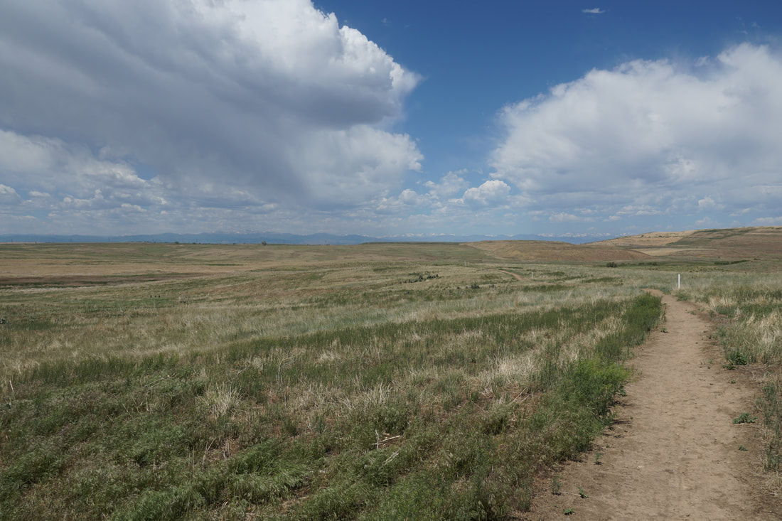
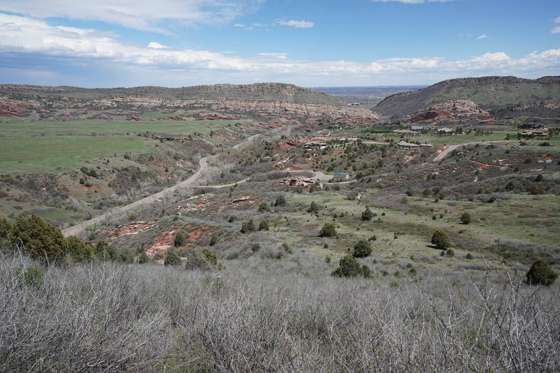
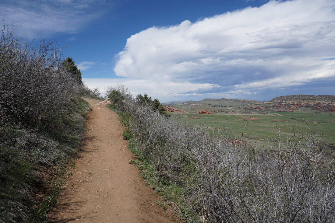
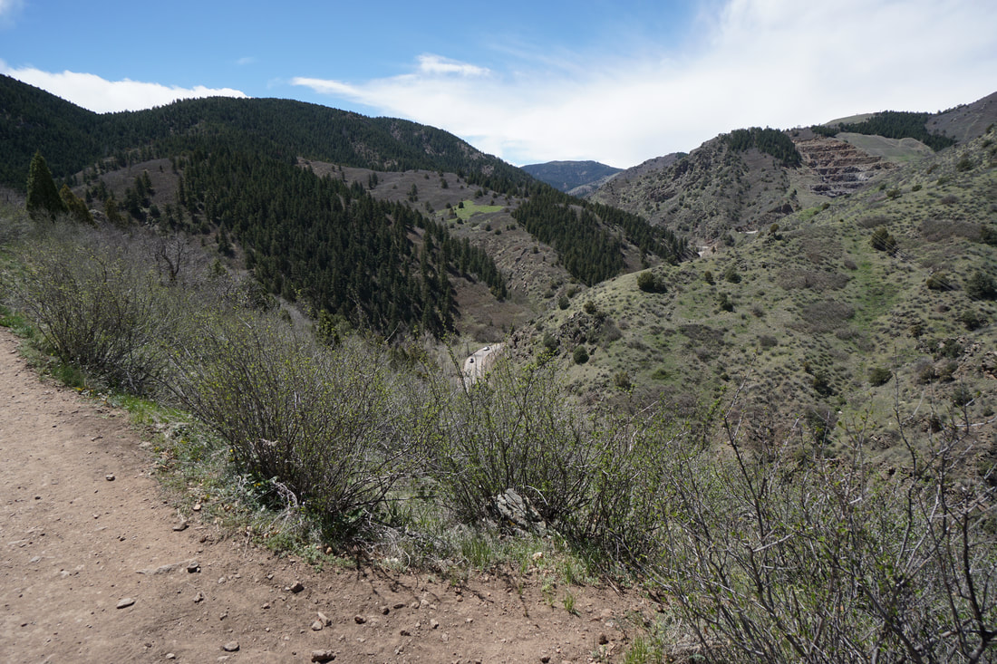
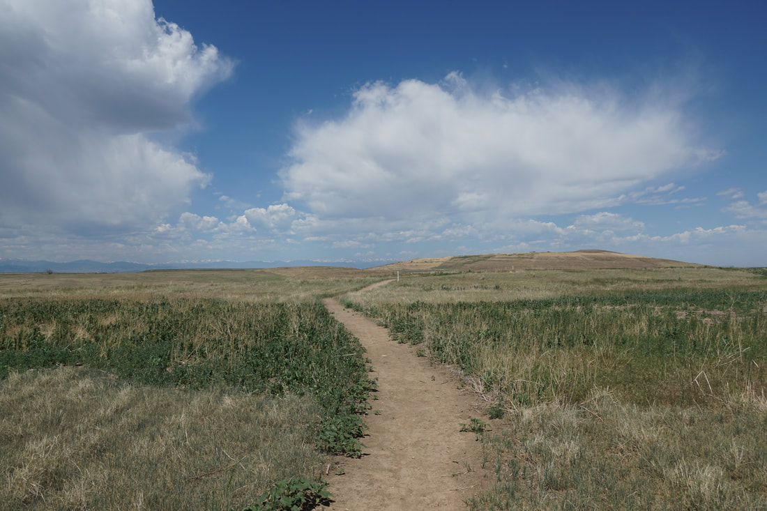
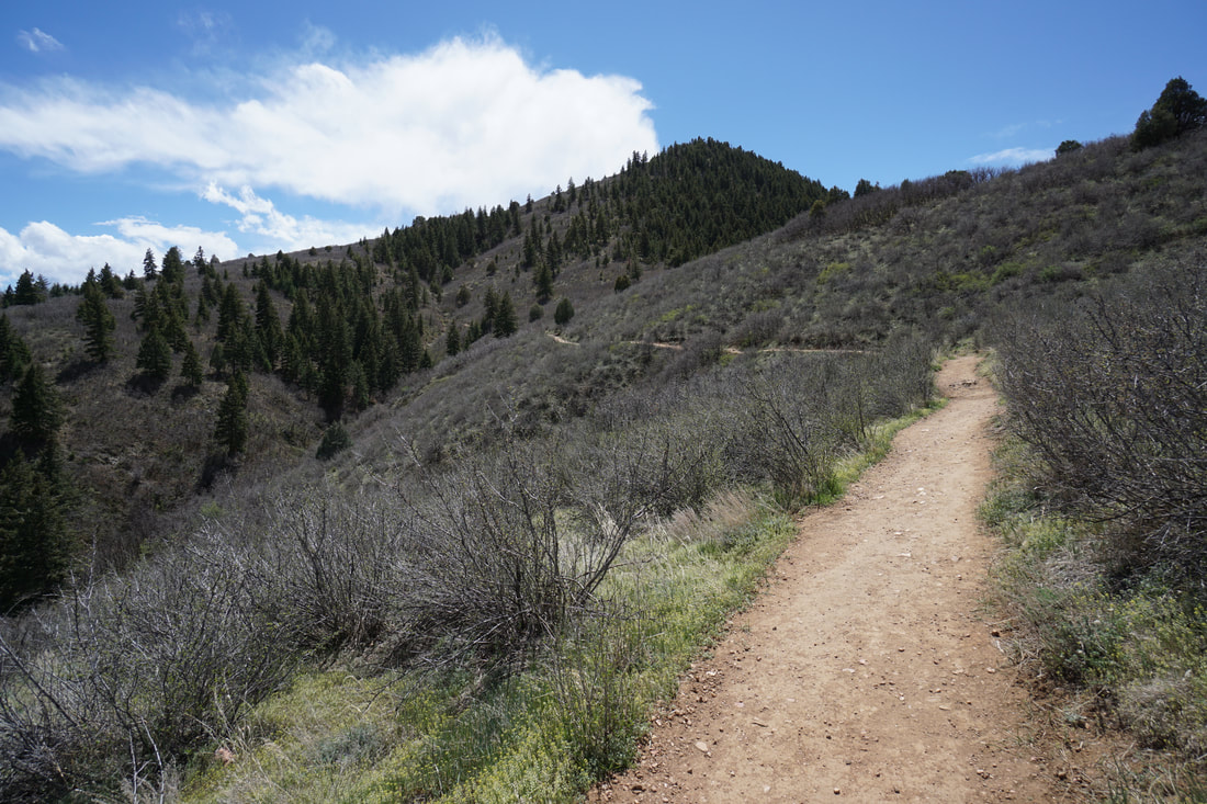
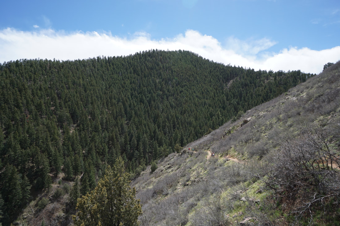
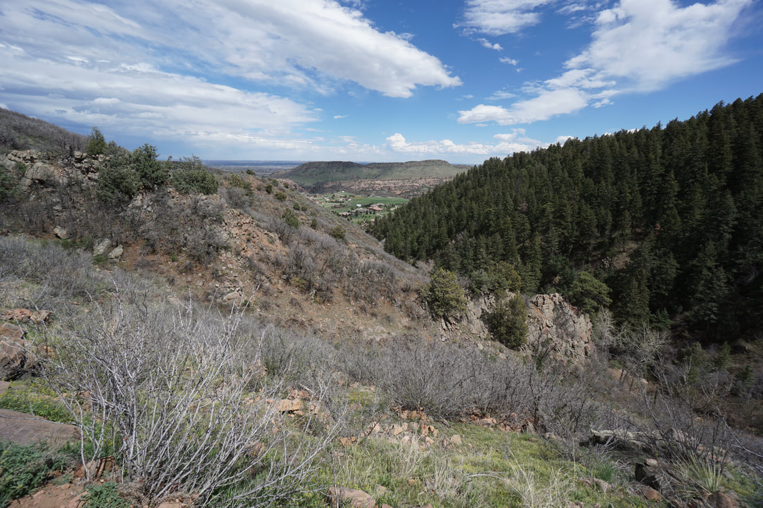
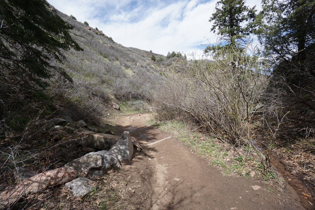
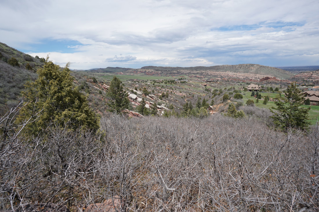
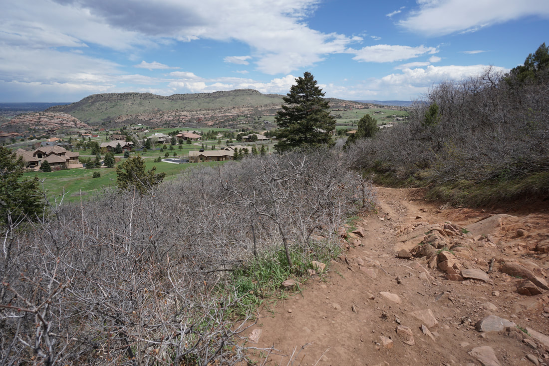
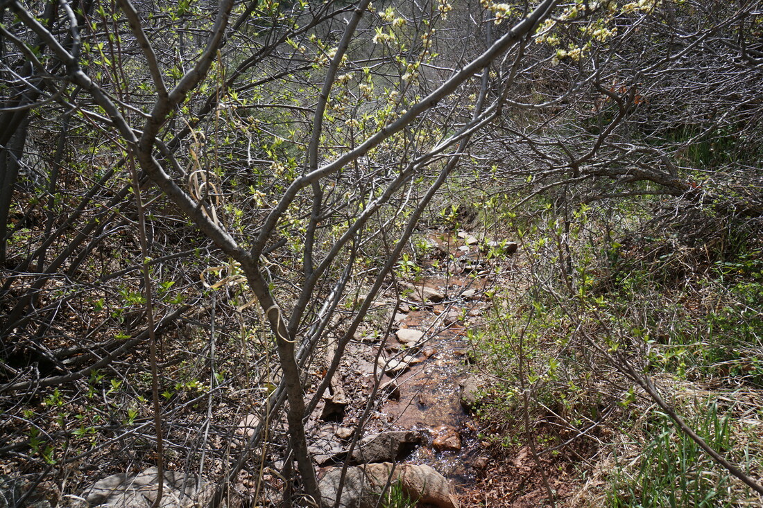
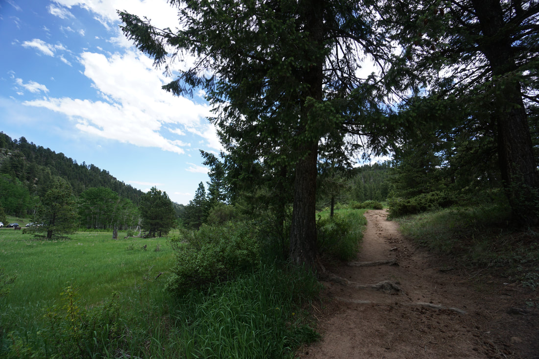
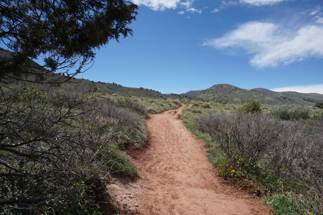
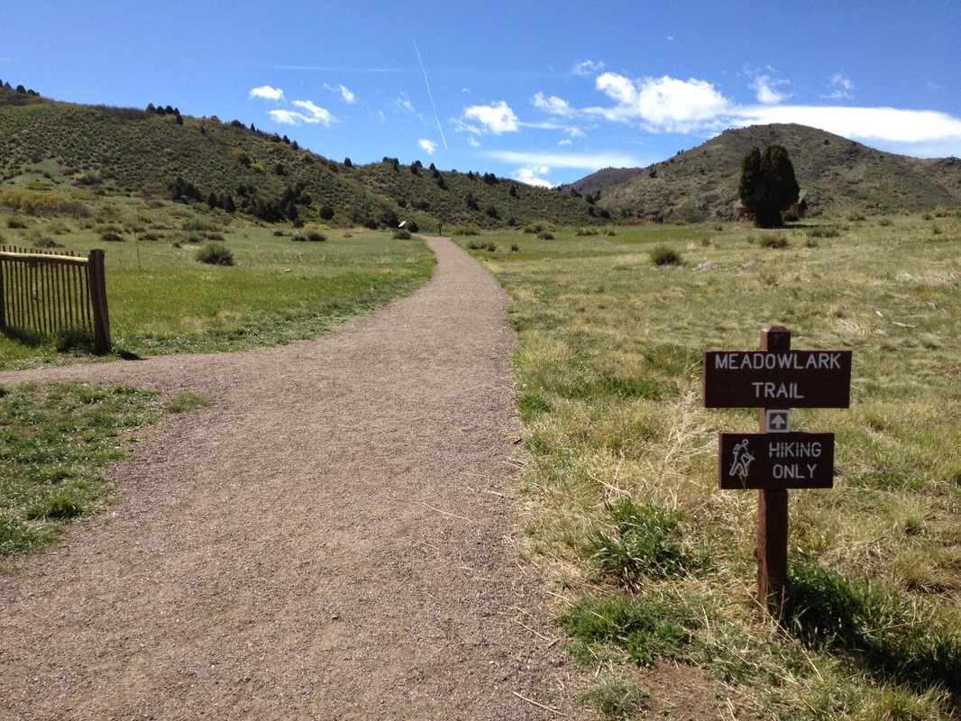
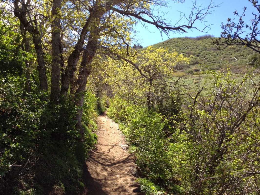
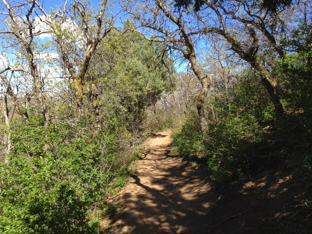
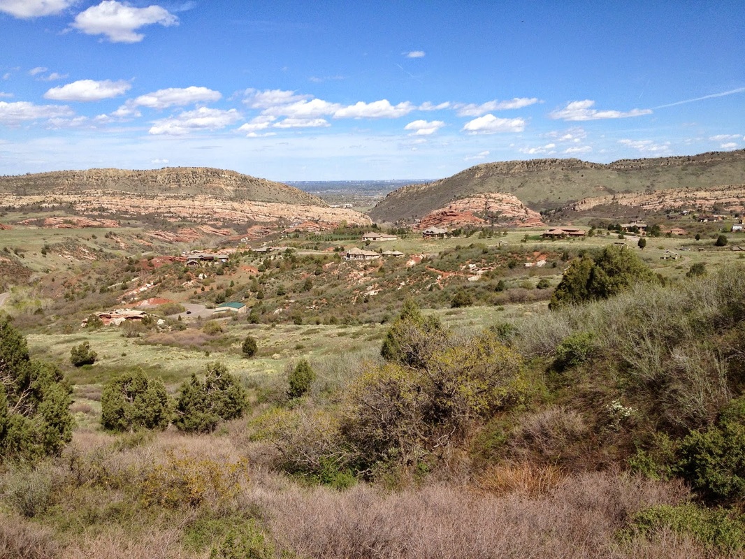
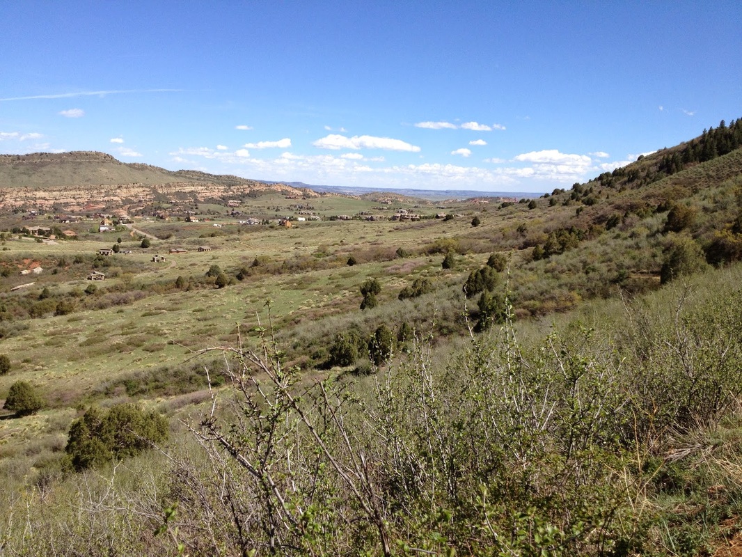
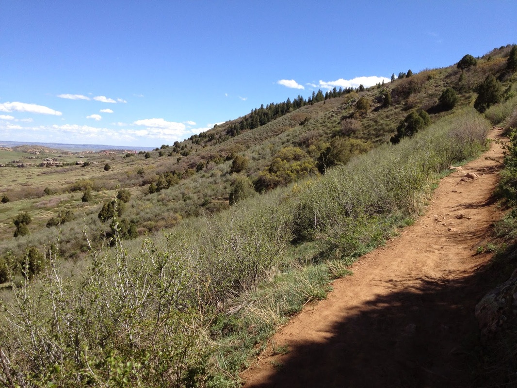
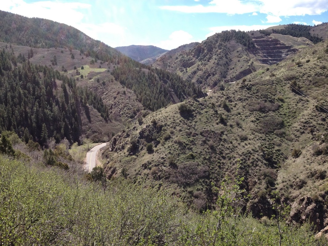
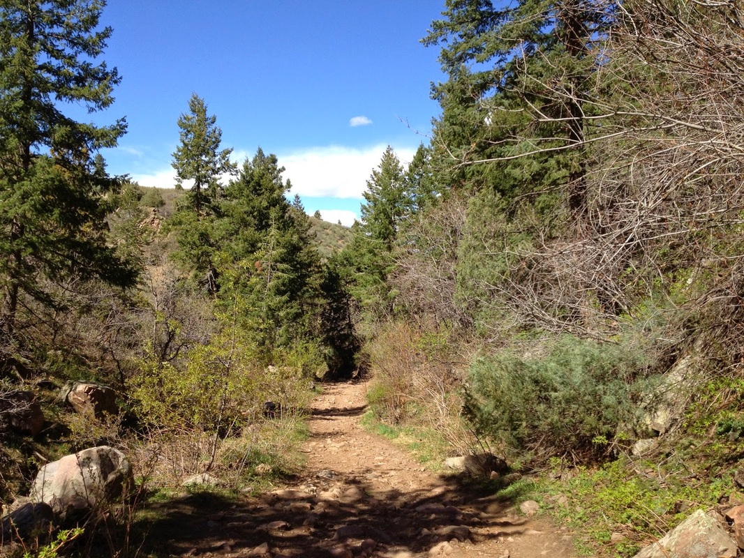
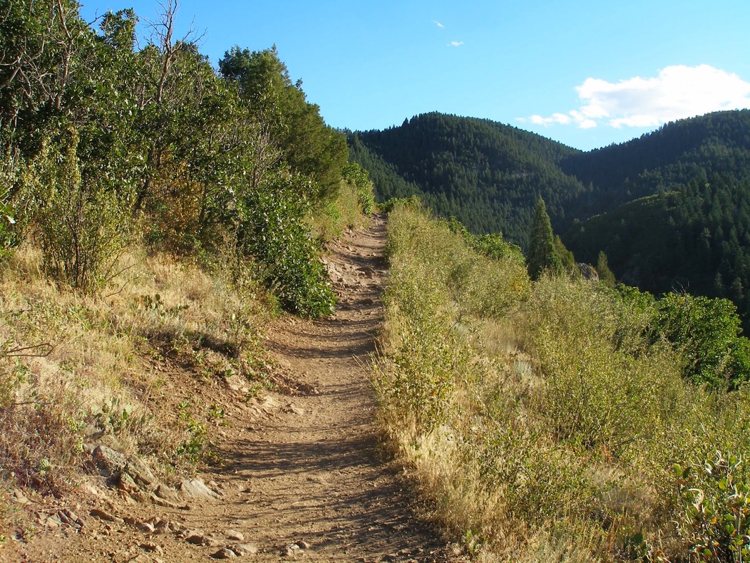
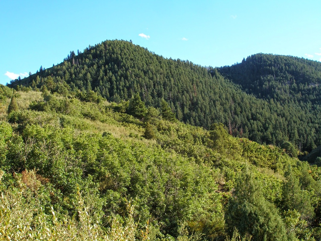
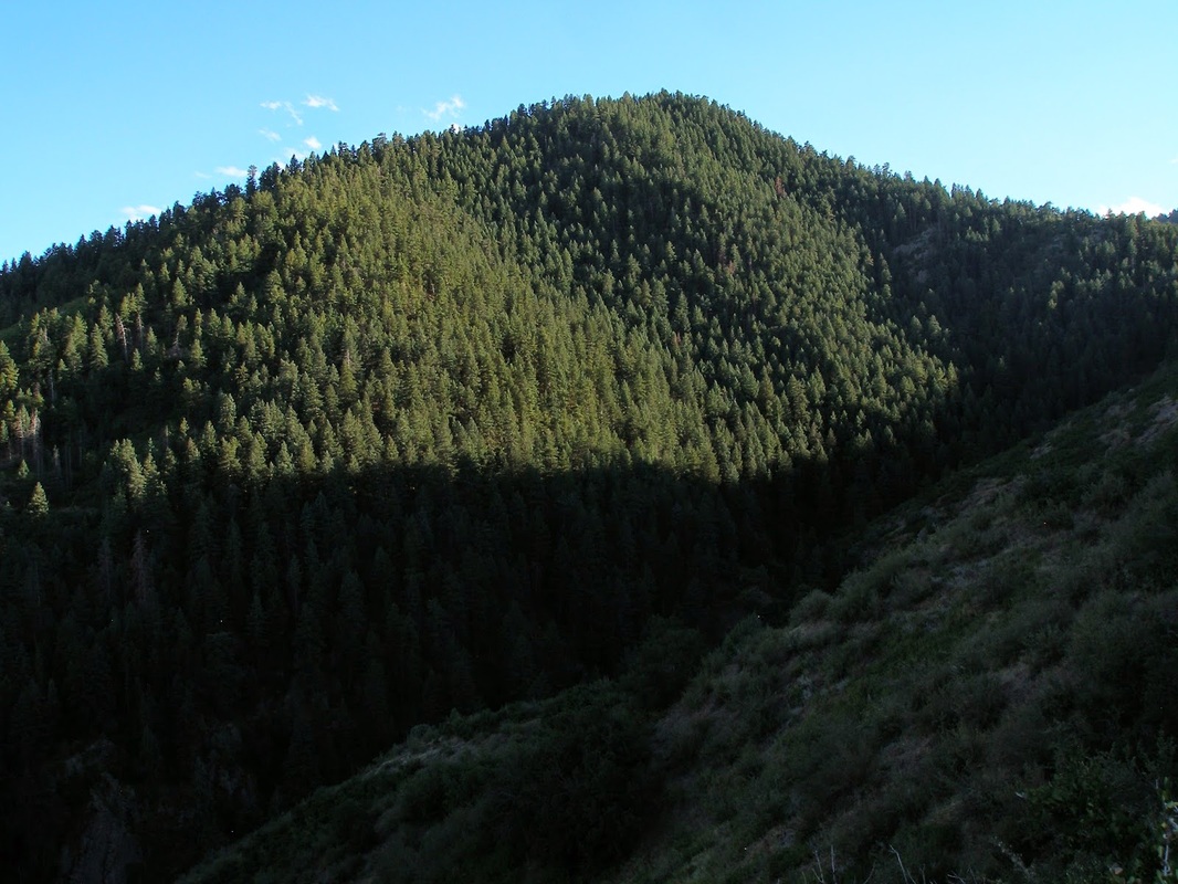
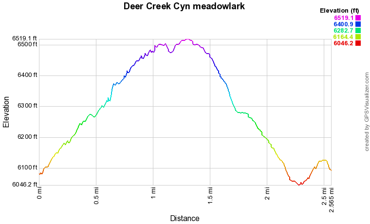
The Meadowlark/Plymouth Creek loop is a marvelous short loop in a park made up of otherwise lengthy trails.  The Meadowlark Trail is a hiker only trail (the park is very popular for mountain biking) and it leads across the meadow and up into the foothills.  The trail switchbacks over the hillside for about 1.6 miles before meeting the Plymouth Creek Trail.  Along the way you get wonderful views to the east where the red rock formations of South Valley Park and the Hogback protect the foothills from the encroaching suburbs beyond. 

Once you reach the Plymouth Creek Trail, turn right to hike into the park's interior, or turn left and head downhill back towards the trailhead.  This section of the Plymouth Creek Trail is beautiful (especially in the spring, when the creek is running) and looks down into canyons striped with red rock intrusions. 

At just about 2.5 miles, this is a great hike in the morning to start your day, or in the evening to help wind down and burn off some stress.

Powered by Create your own unique website with customizable templates.