GO HIKE COLORADO
Get in Touch:
  • HOME
  • ABOUT
  • HIKES BY REGION
    • DENVER AREA >
      • Denver Mountain Parks
      • Jefferson County Open Space
      • Lakewood Parks
      • Denver Area Greenways
    • BOULDER AREA
    • DOUGLAS COUNTY
    • FORT COLLINS AREA
    • COLORADO SPRINGS AREA
    • FRONT RANGE
    • TENMILE & MOSQUITO RANGES
    • GORE RANGE
    • SANGRE DE CRISTO MOUNTAINS
    • PARK RANGE
    • SAWATCH RANGE
    • ELK MOUNTAINS
    • SAN JUAN MOUNTAINS
    • THE FLAT TOPS
    • GRAND MESA
    • COLORADO PLATEAU
    • EASTERN PLAINS
  • NATIONAL PARK HIKES
    • BENT'S OLD FORT NATIONAL HISTORIC SITE
    • BLACK CANYON OF THE GUNNISON NATIONAL PARK
    • COLORADO NATIONAL MONUMENT
    • CURECANTI NATIONAL RECREATION AREA
    • DINOSAUR NATIONAL MONUMENT
    • FLORISSANT FOSSIL BEDS NATIONAL MONUMENT
    • MESA VERDE NATIONAL PARK
    • ROCKY MOUNTAIN NATIONAL PARK
    • GREAT SAND DUNES NATIONAL PARK
    • HOVENWEEP NATIONAL MONUMENT
    • SAND CREEK MASSACRE NATIONAL HISTORIC SITE
    • YUCCA HOUSE NATIONAL MONUMENT
  • HIKES BY CATEGORY
    • HIKES TO ALPINE LAKES
    • HIKES TO PEAKS & PASSES
    • HIKES THROUGH CANYONS
    • HIKES WITH FALL COLORS
    • HIKES ALONG THE I-70 CORRIDOR
    • HIKES ON PAVED TRAILS
    • HIKES FOR KIDS
    • HIKES TO WATERFALLS
    • HIKES ALONG RIVERS
    • HIKES WITH ROCK FORMATIONS
    • HIKES WITH WILDFLOWERS
    • WINTER HIKES
  • NEWS
  • WEBCAMS
  • $UPPORT GHC
  • INTERACTIVE MAP

Tower Trail
Mount Falcon Park

Date Hiked: July 25, 2015

Distance: 1.5 mi (RT)
Elevation Gain: 248ft
Elevation Min/Max: 7,690 to 7,841 ft
Trailhead Lat/Long: 39º 38' 10" N; 105º 14' 21" W
Managing Agency: Jefferson County Open Space
Fee: None

Mount Falcon Park Website
Picture

DIRECTIONS:  From Denver, take I-70 west to C470.  Head South (West) on C470 to the Morrison Exit (Route 74).  Follow 74 through Morrison and through Idledale.  Turn left (south) on Meyers Gulch road which becomes Parmalee Gulch Road.  When you see the signs for the park, turn left (east) on Picutis Road.  From here follow the signs up the hill to the park entrance and parking area.

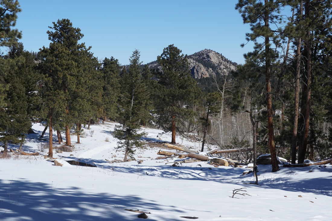
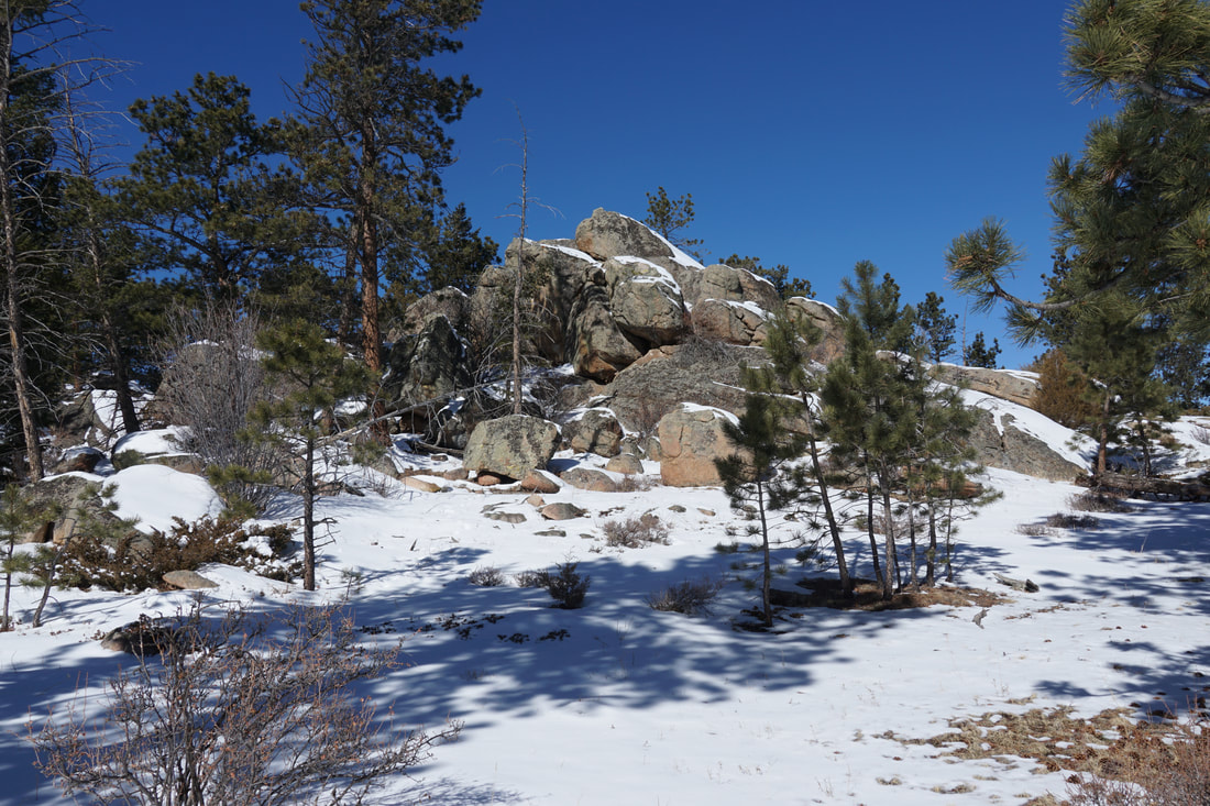
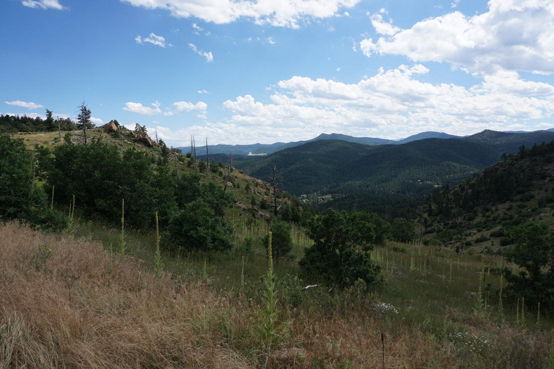
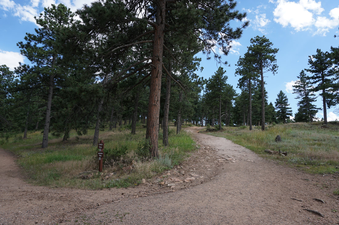
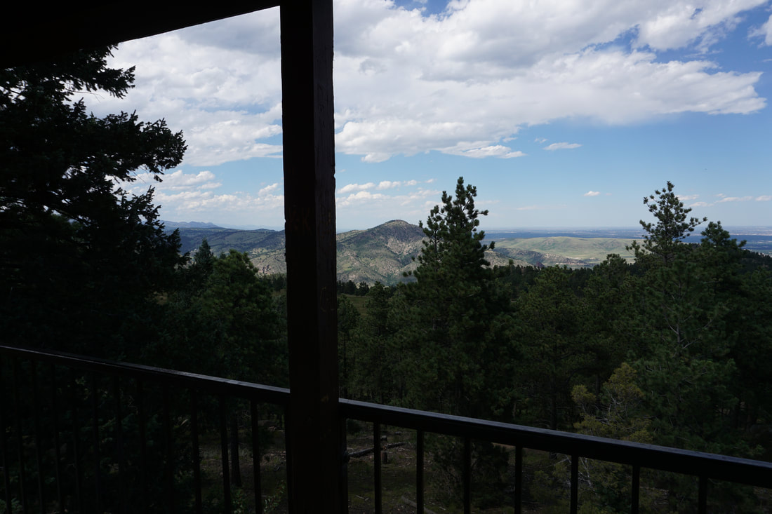
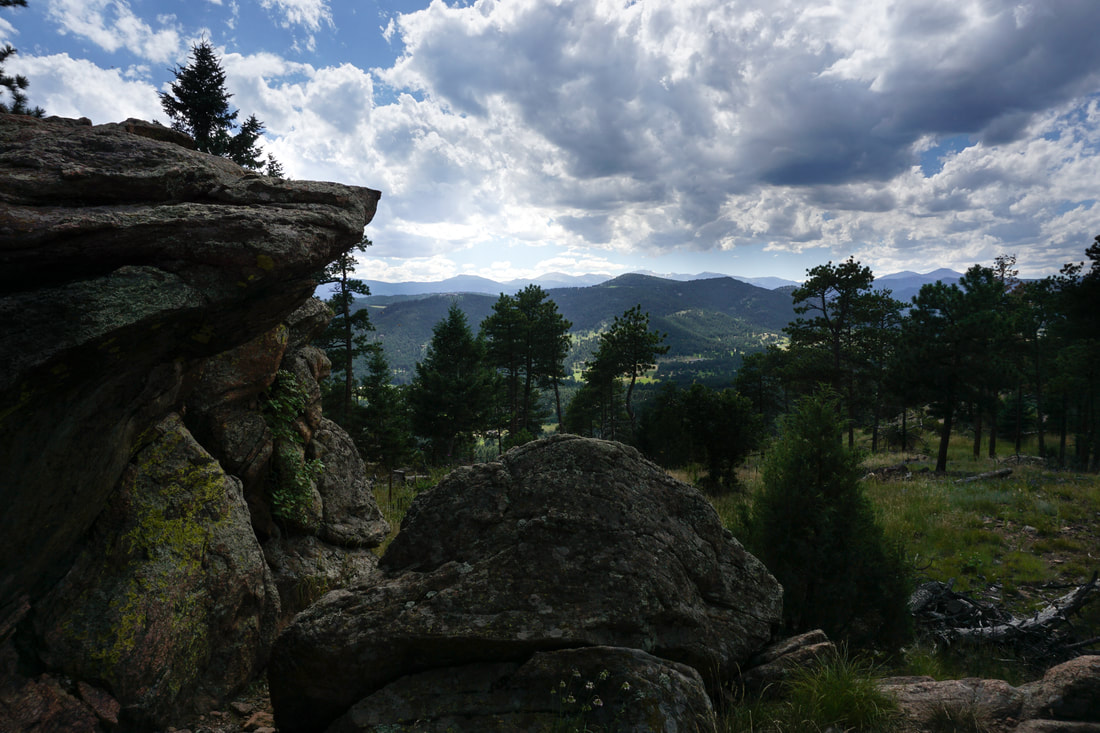
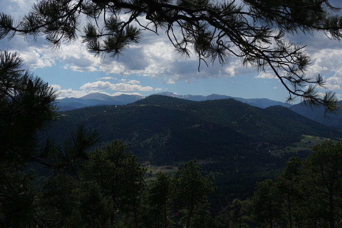
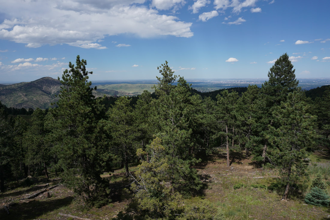
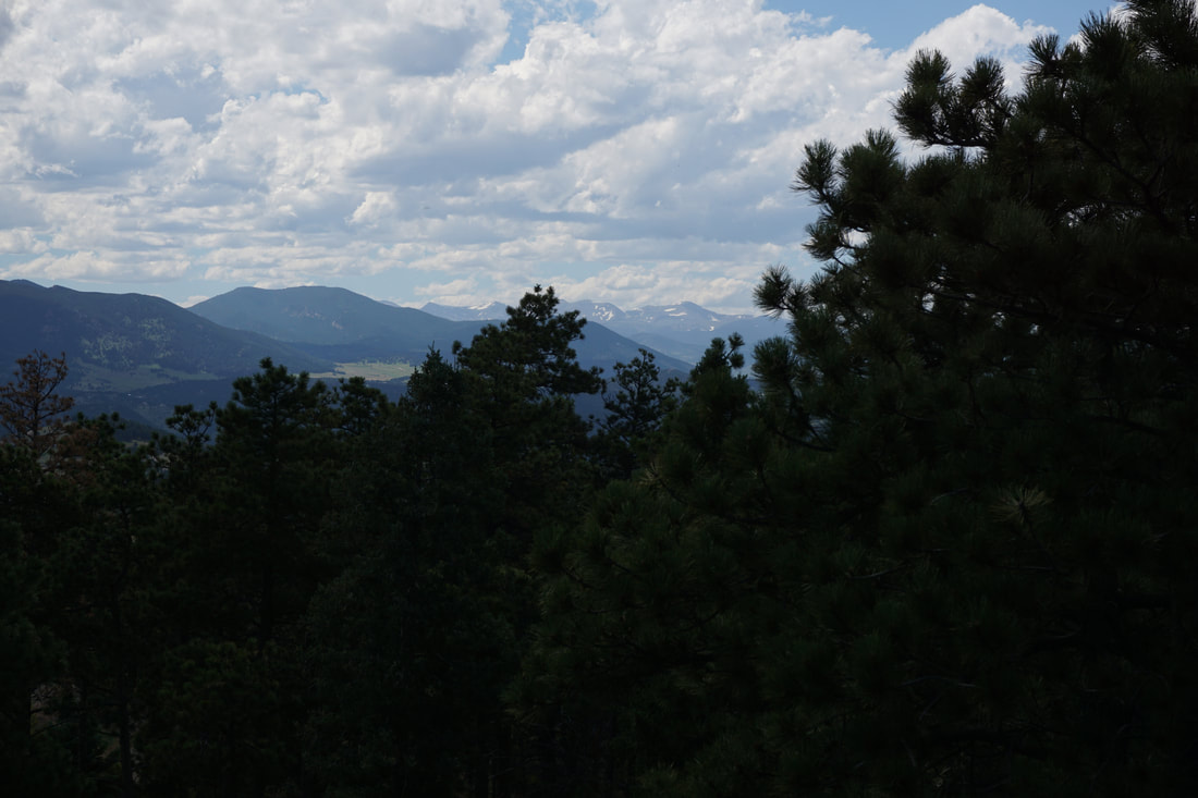
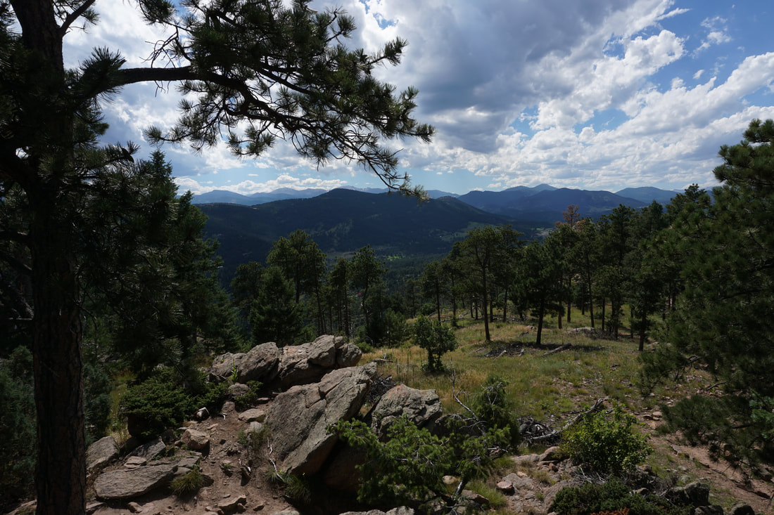
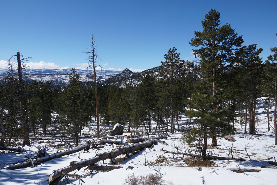
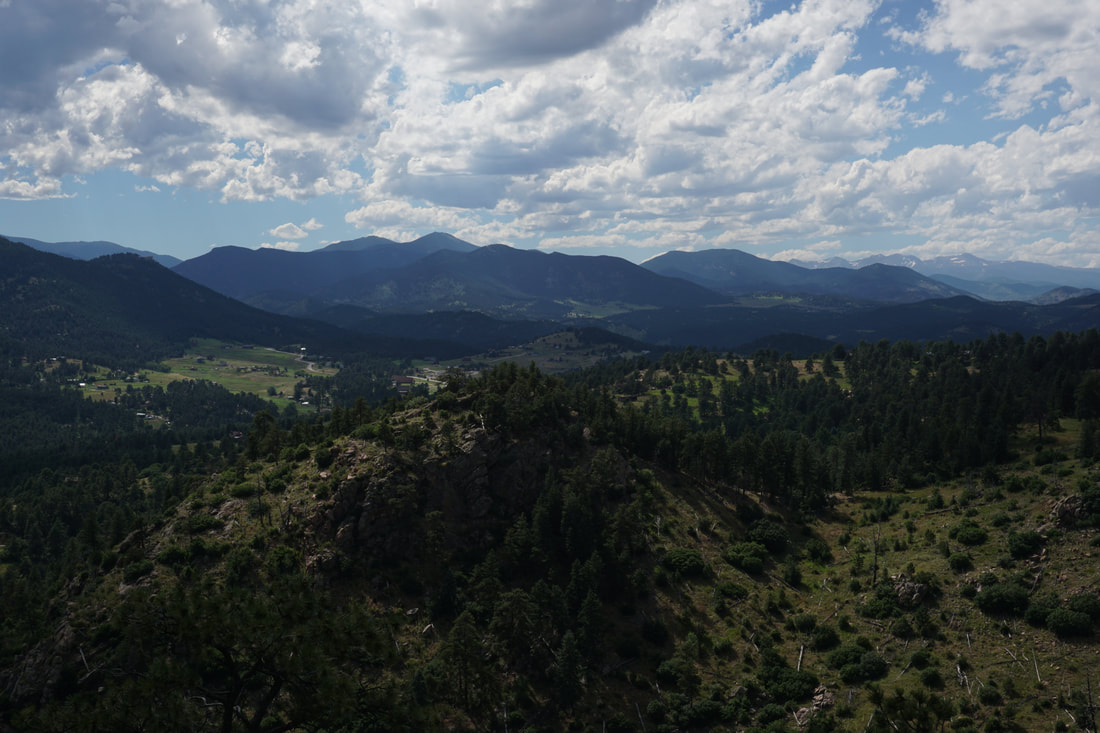
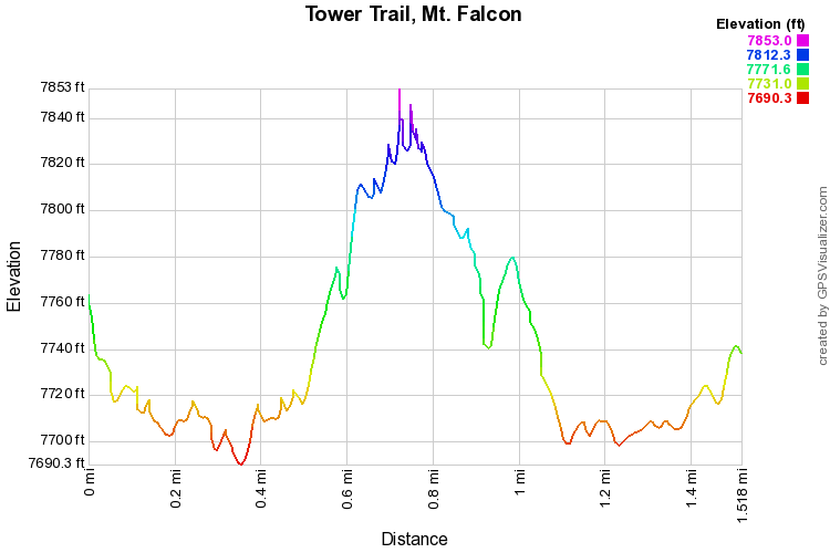
The Tower Trail visits an old lookout tower built on the summit of Mt. Falcon.  The hike is easy with fun destinations making it perfect for kids or just a quick walk in the Jefferson County woods.  A quick detour takes you to the Eagle Eye shelter with more tremendous views.

From the West Trailhead, follow the Castle Trail for .3 miles to a large meadow with 360 degree views.  Stay straight at the junction and stay straight again at the Meadow Trail junction.  Follow the signs for the Tower Trail.  The tower trail climb gently up a set of stone stairs and rocky trail to the summit of Mt. Falcon at 7,841 feet.  At the summit sits the lookout tower.  This covered tower is a wonderful and relaxing destination if you can manage to have it to yourselves.  The views include Denver to the east, Mt. Evans to the West, and James Peak to the Northwest.  The tower is busy on summer weekends.

On your way back take the short detour over to the Eagles Eye Shelter.  Similar to the tower, the shelter gives you a clear view of Mt. Evans.  After you've had your fill of Front Range vistas, head back to the Castle Trail and the West Trailhead.  The entire hike is only 1.5 miles so no matter what your hiking skill level, you can take in some mountain majesty.
Powered by Create your own unique website with customizable templates.