|
|
|
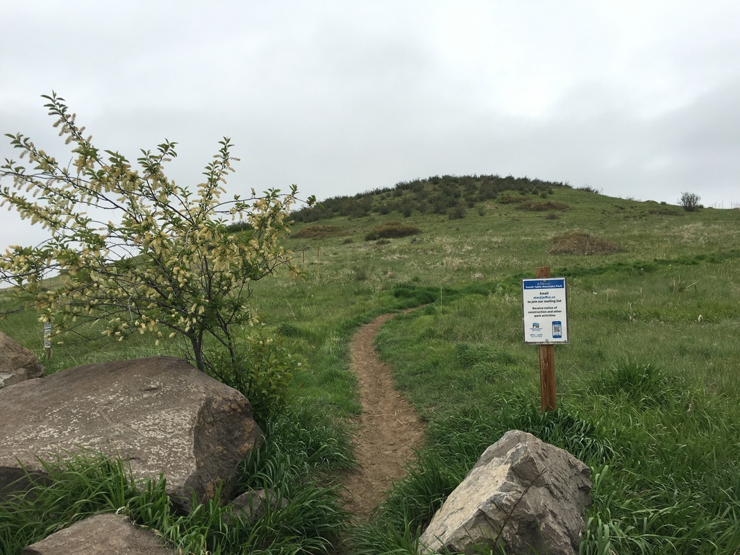
Directions: From I-70 in Golden, exit at Colfax and head west. Turn right onto Moss Street and left on S. Golden Road. Turn right onto Quaker Street and follow it until the road ends at the NREL entrance. Turn left onto Golden Hills Road and park at the pullout on the right. There is a visible trail and a small S. Table Mountain Sign.
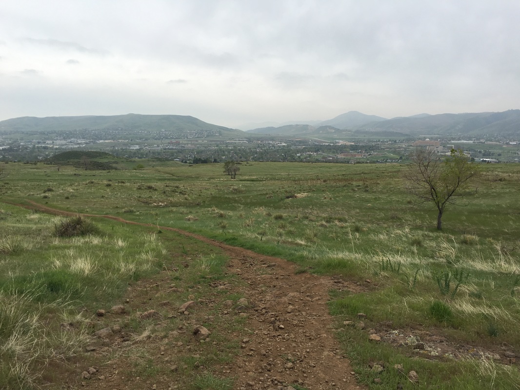
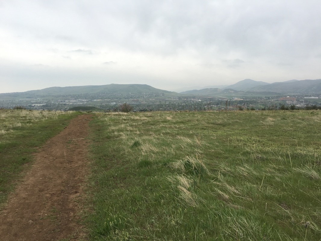
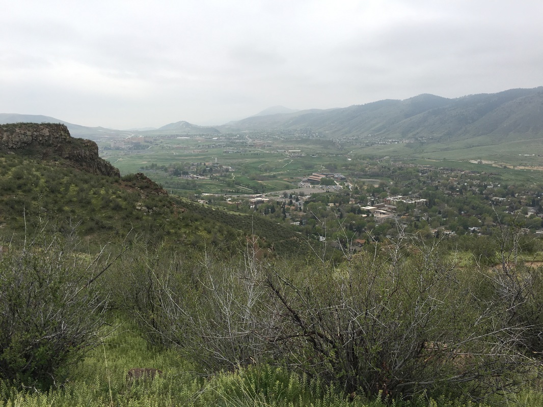
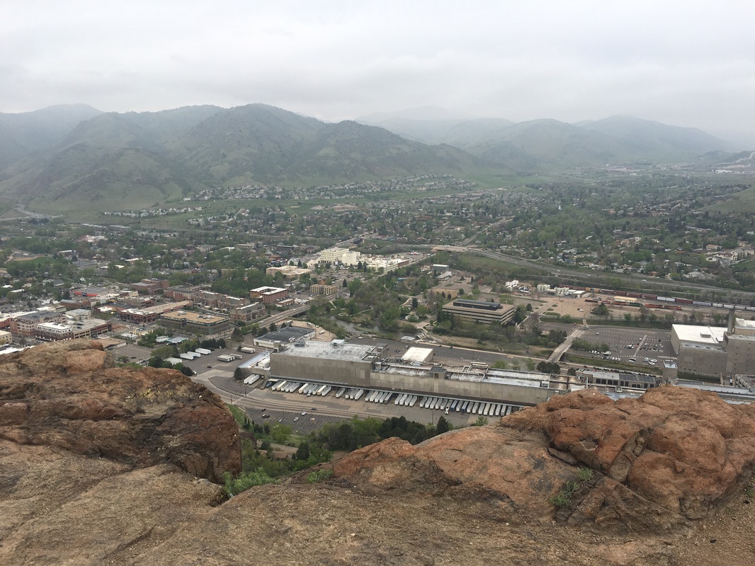
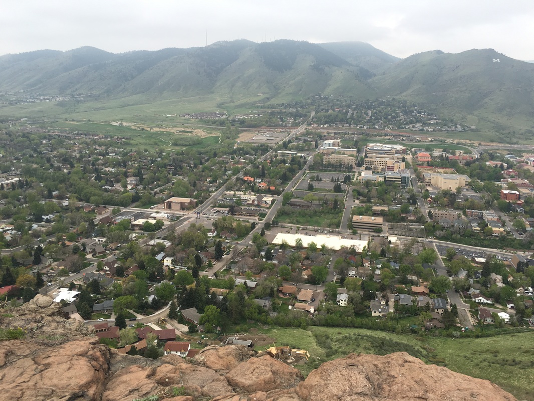
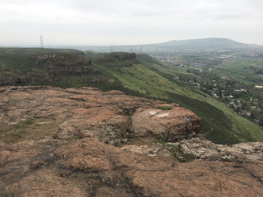
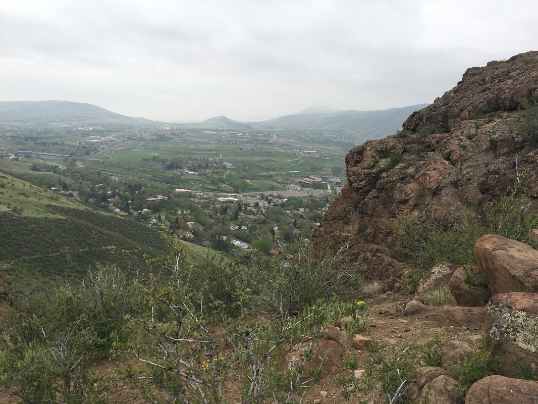
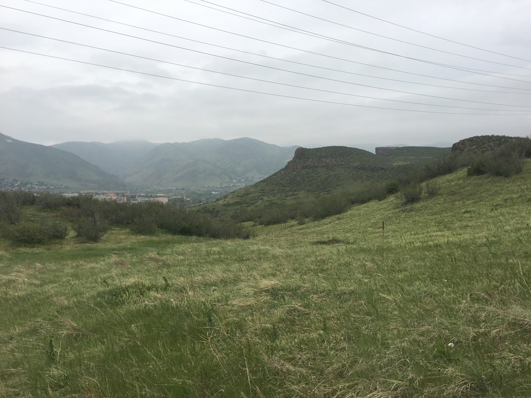
South Table Mountain is a wonderful park hovering over the city of Golden and the Coors Brewery. Since it is so close to Denver it is perfect for a quick escape and recharge. Jefferson County Open Space is still working to acquire lands and rights on the mesa therefore the only designated trails are on the east side of the park (see hikes here and here). It is a little frustrating that from the park's website it appears that the other existing trails are closed or at least discouraged, but there are no trail closure signs...therefore, unless someone tells us otherwise these trails are fair game.
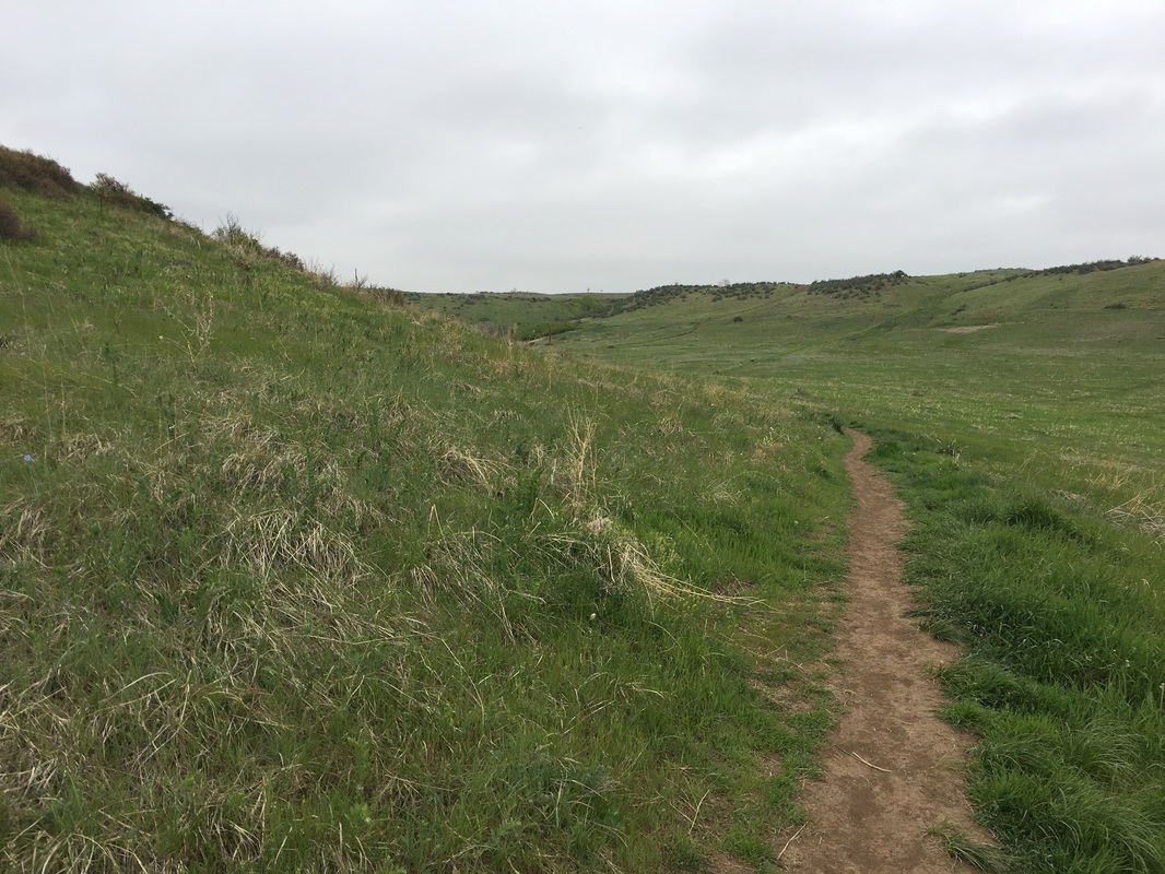
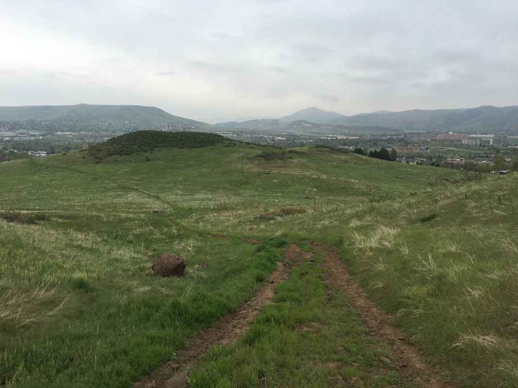
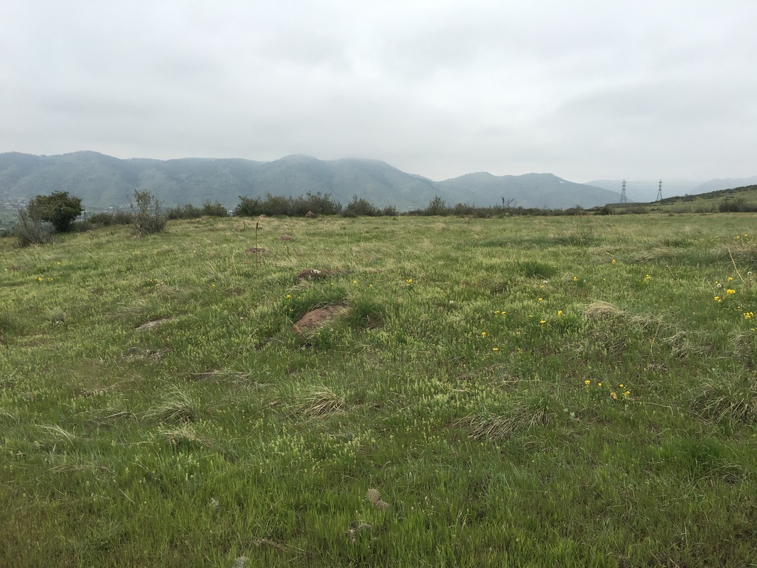
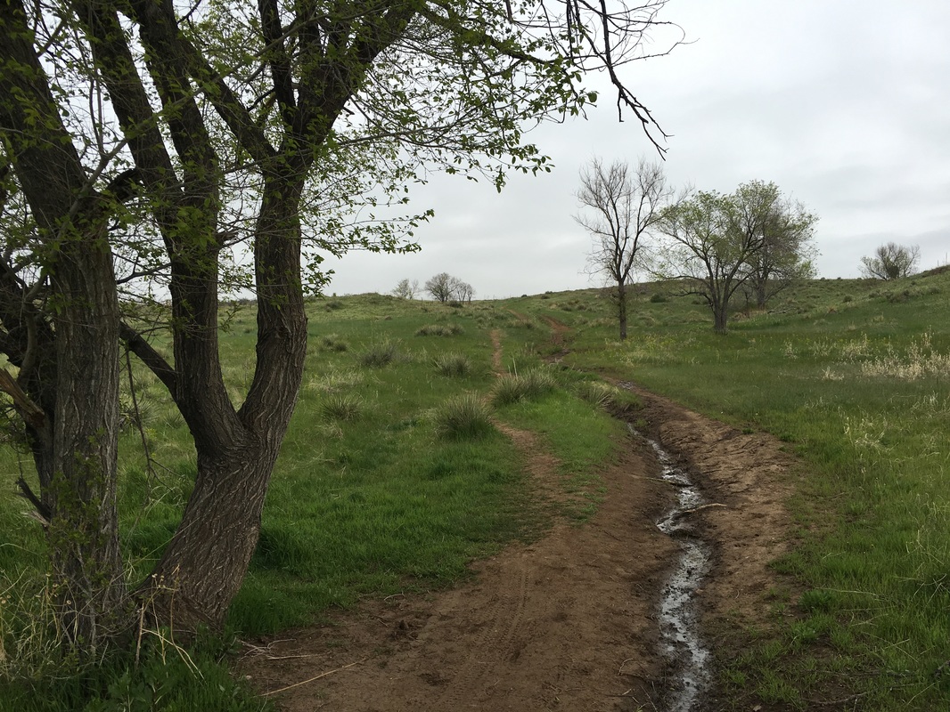
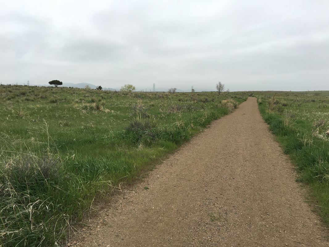
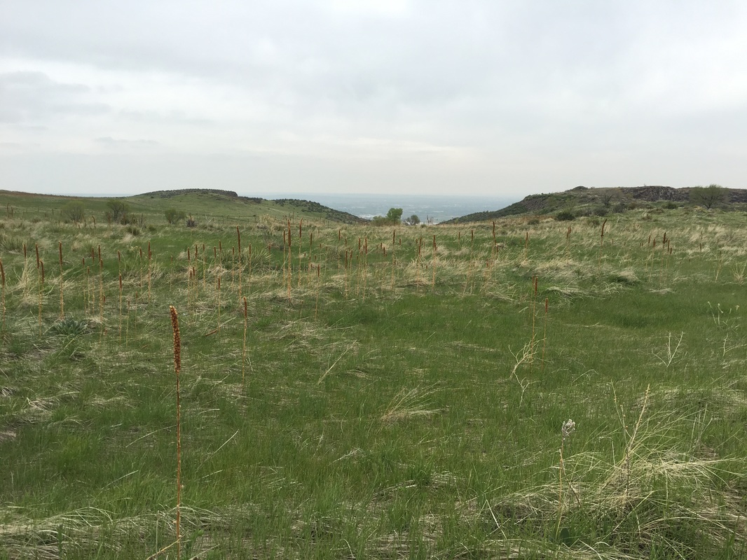
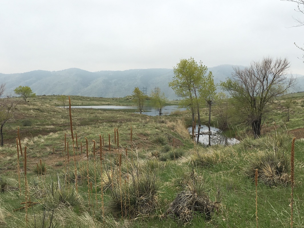
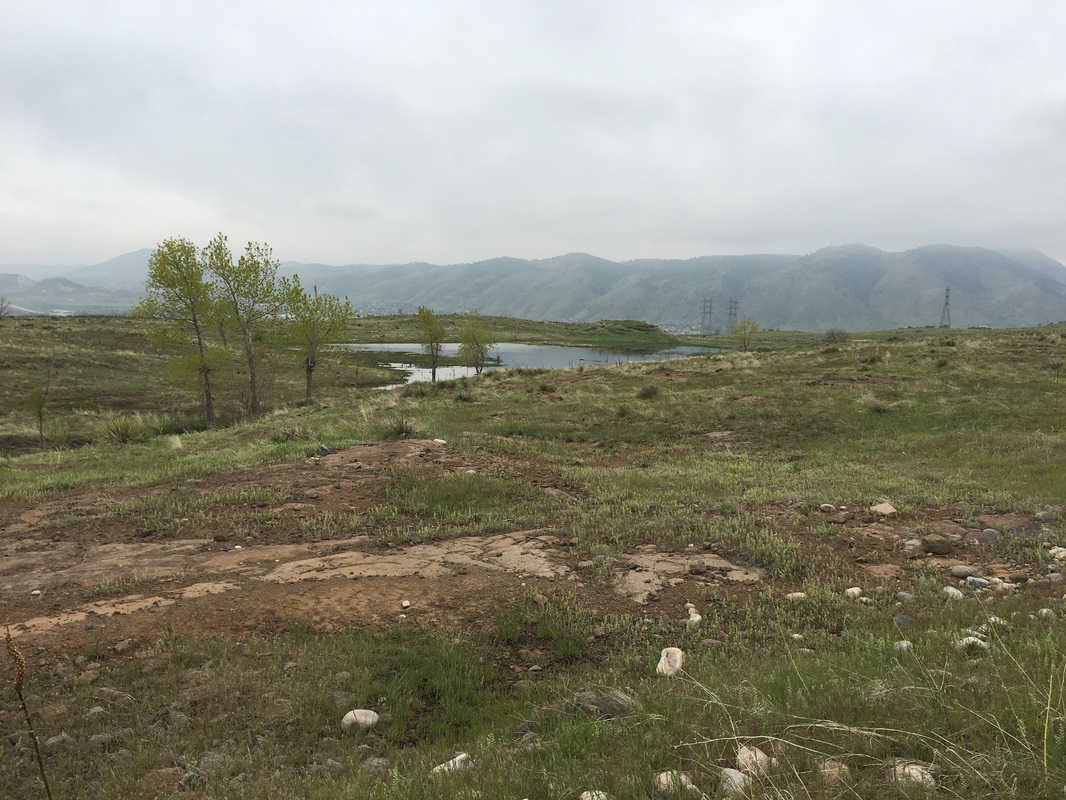
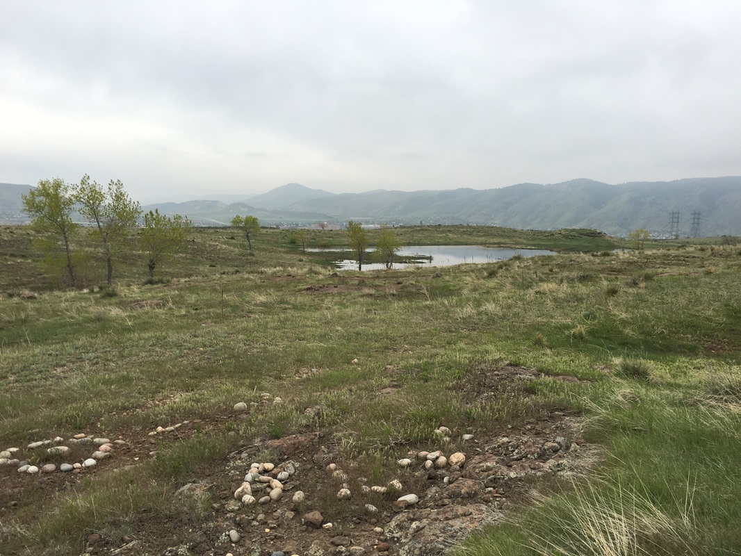
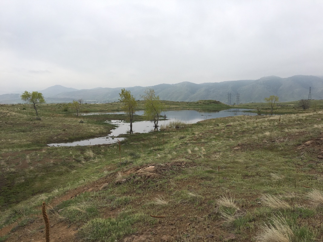
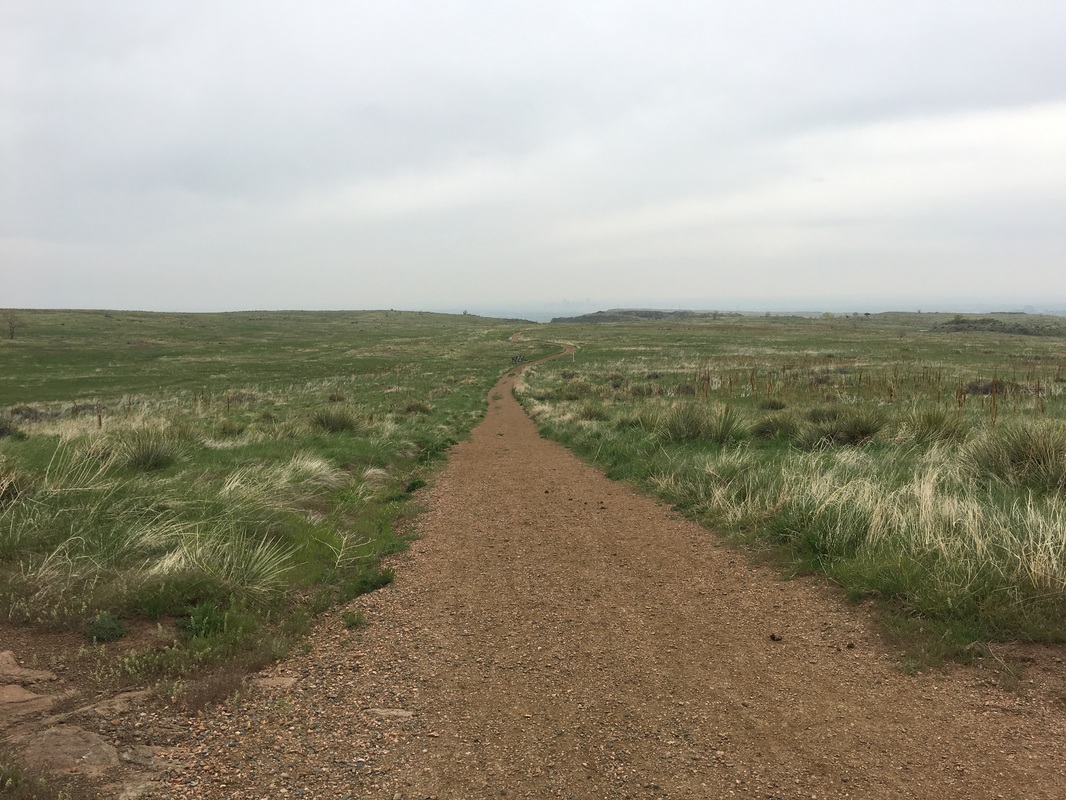
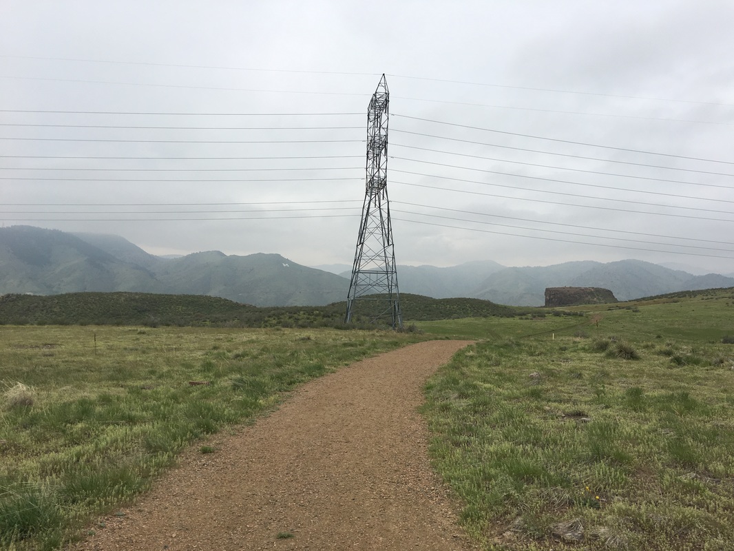
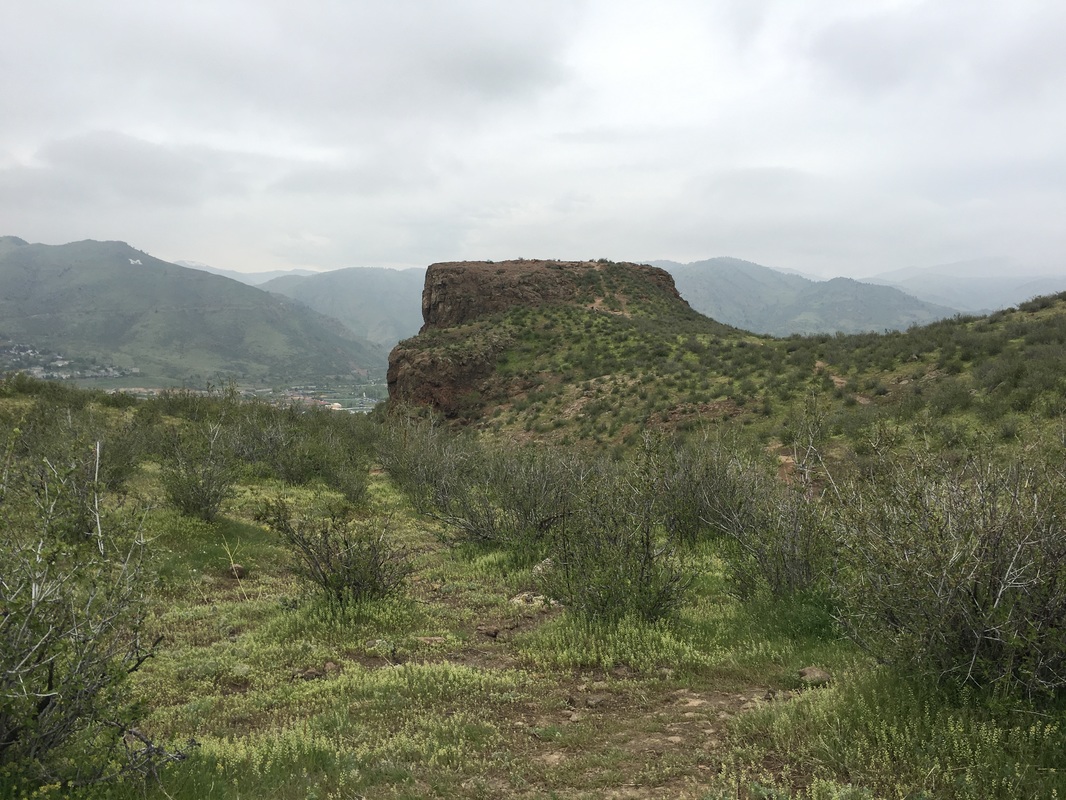
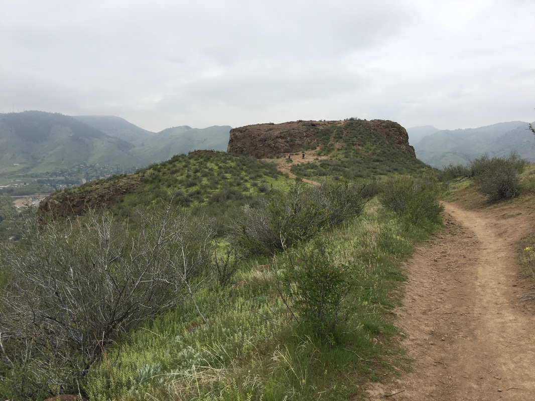
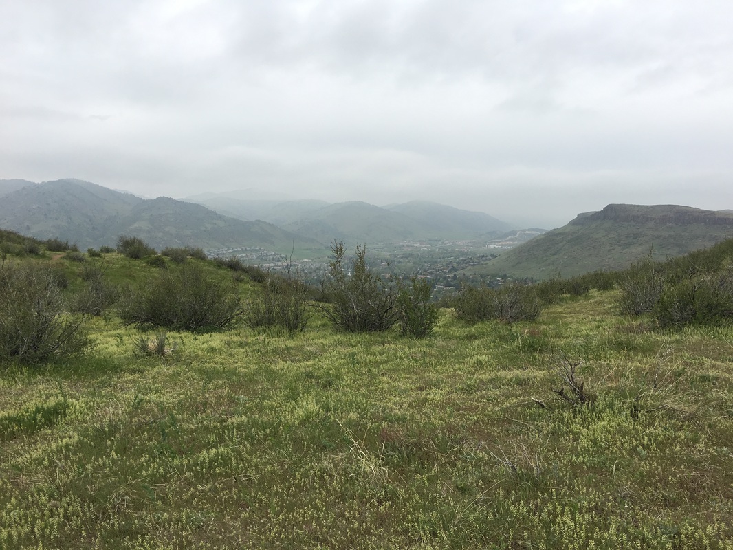
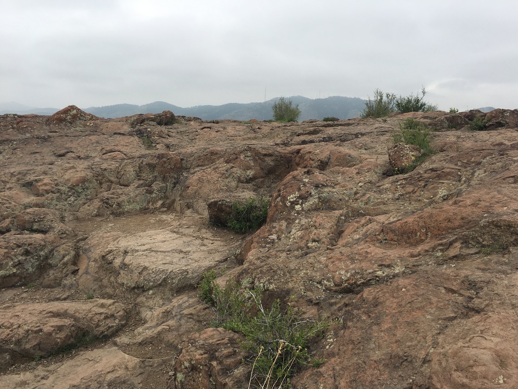
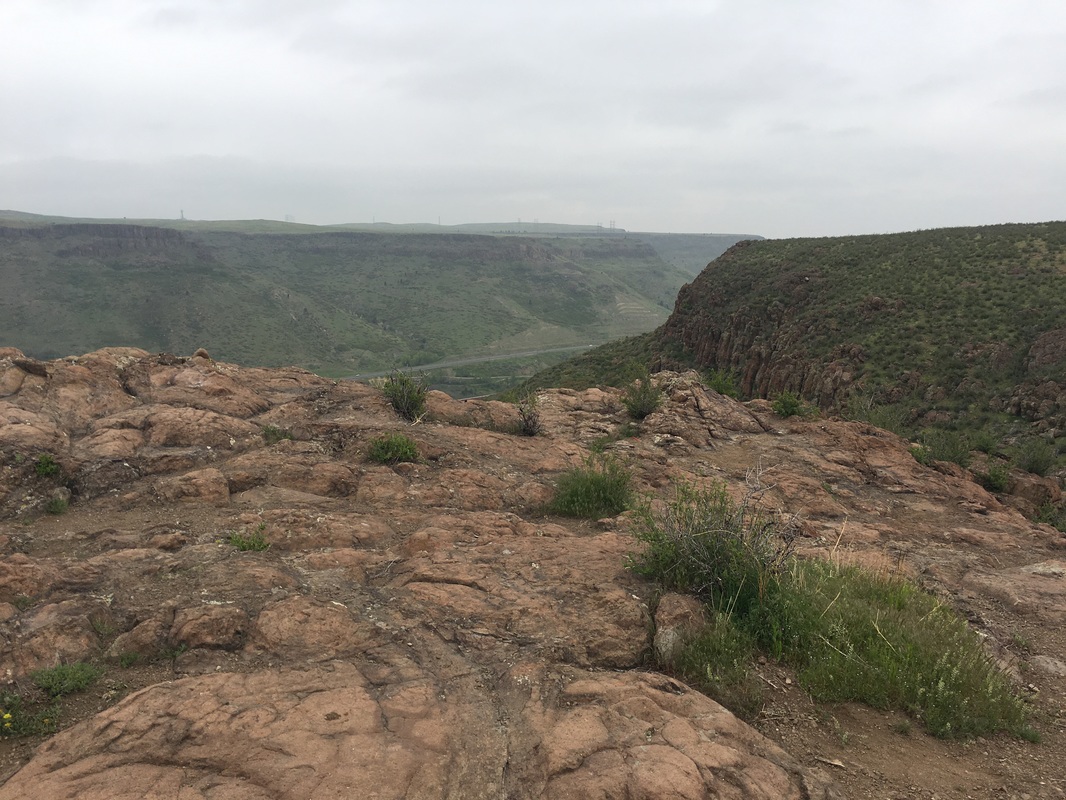
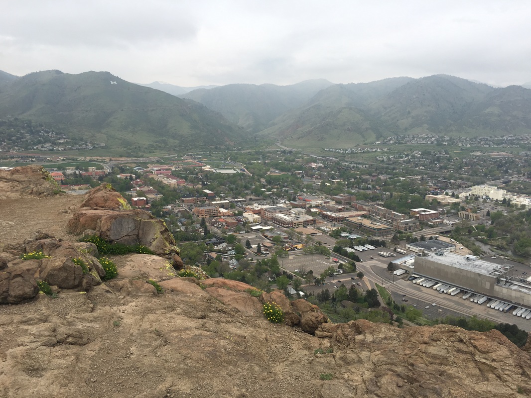
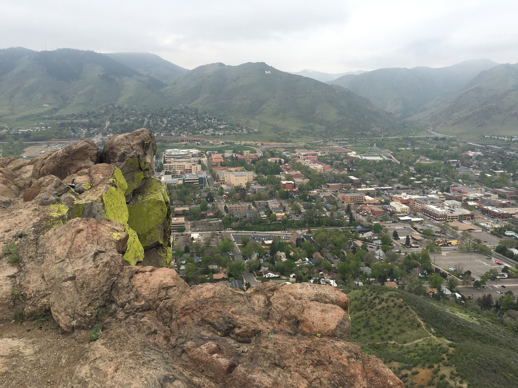
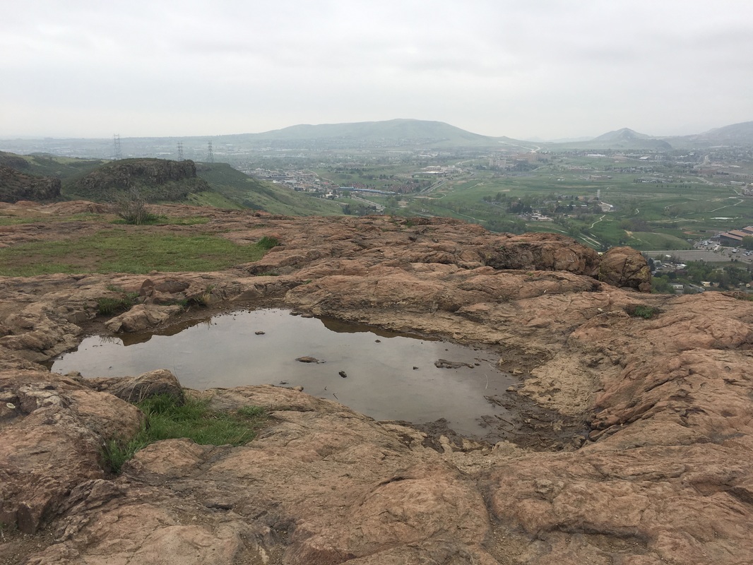
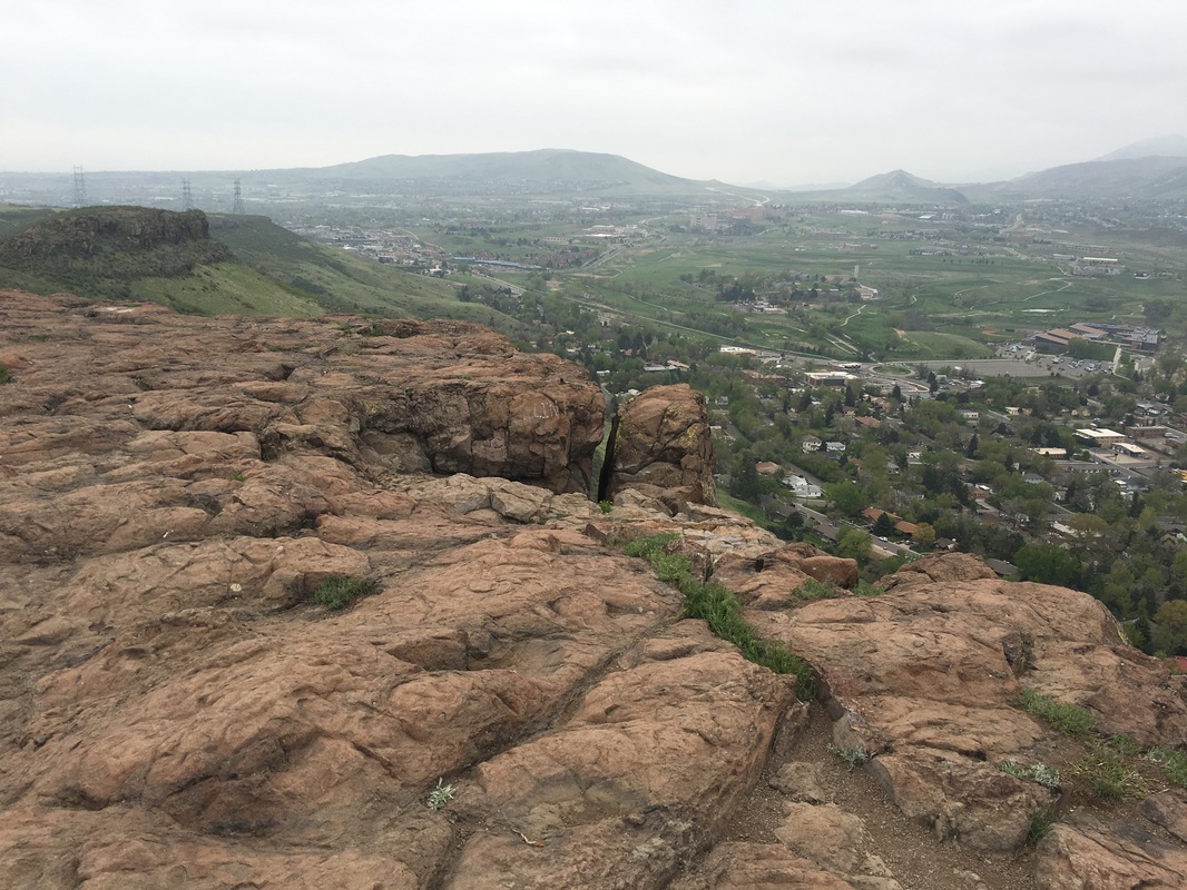
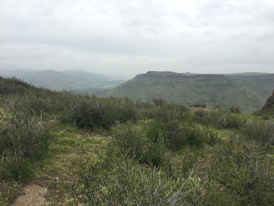
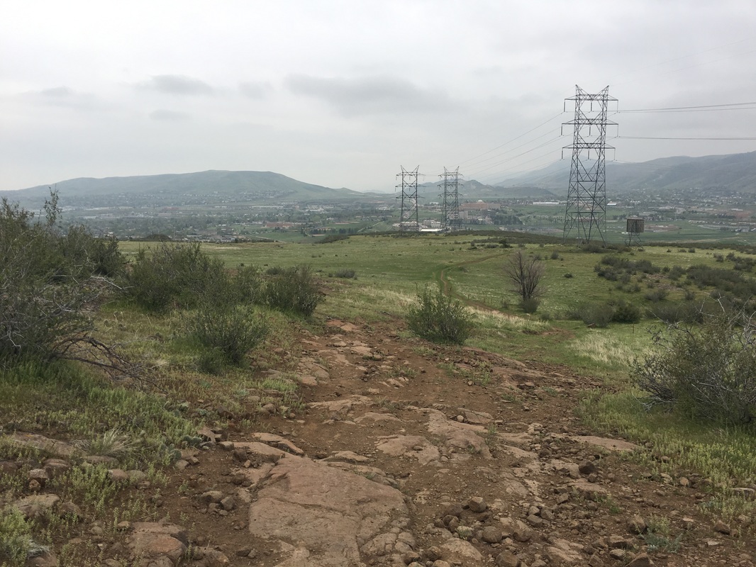
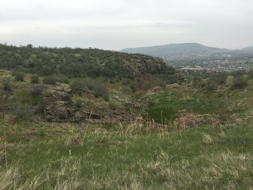
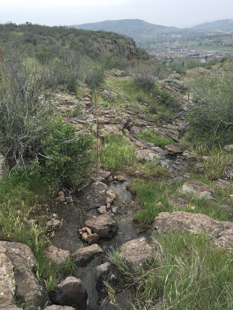
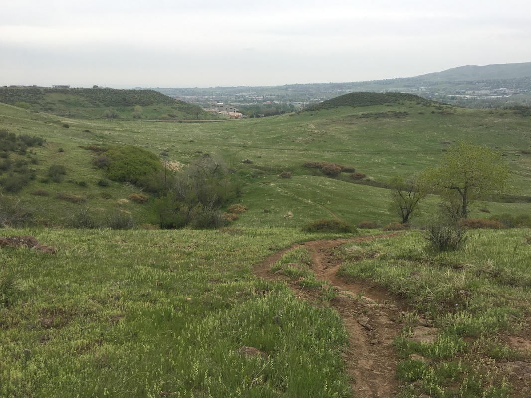
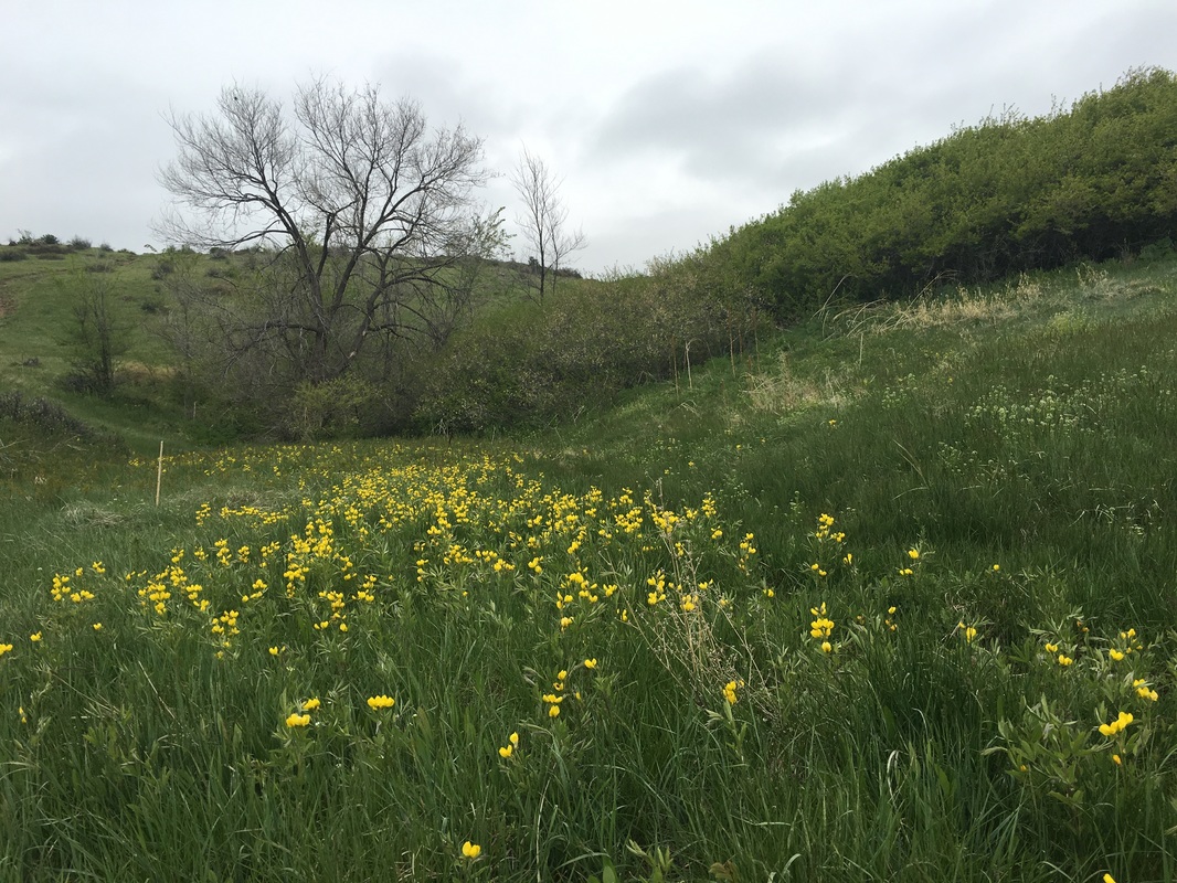
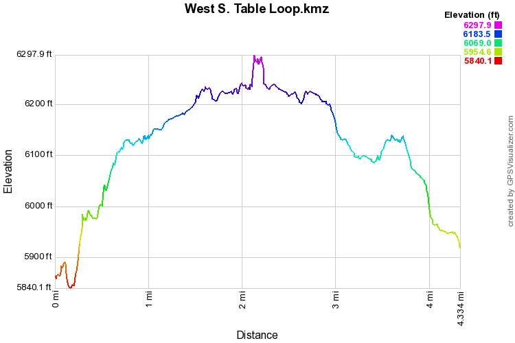
The west side of the park (west of the National Renewable Energy Laboratory NREL) is a criss cross hodgepodge of social trails and wide well maintained trails, with no trail signs. There are various points of access and social trails leading to the loop described here. We recommend using this as a base map and exploring the social trails and access points as much as you want to. This description starts from the small trailhead at the corner of Quaker St. and Golden Hills Road. There is a small parking lot a few hundred yards west of this trailhead that you can also use to access the loop. As you start hiking up the slopes of the mesa and begin to run into social trails, stay to the right as much as you can until you gain the mesa top and run into the obvious wide dirt path. Turn left (west) here. You'll see some social trails heading to the northern part of the mesa from the wide path, but almost all of them have closed or no access signs, therefore we consider the area north of this trail as off limits. Hopefully, this area will open in the near future. Heading west you'll soon see a nice little lake off to the right. This unique feature is very scenic but be careful if you venture off trail, the vegetation here is fragile and there are tons of cactus that can cause all sorts of trouble... Continue west until you reach the power lines. At this point there is a trail junction that you need to keep in mind. To the west you'll see the iconic Castle Rock but the loop trail continues to the south. If you continue straight to explore Castle Rock, you have to come back to this point to pick up the loop again. Ignore all the other social trails west of this trail junction as they all lead down the west slope of the mesa to Golden. Castle Rock is a fascinating land form with an interesting and controversial history. The view from the top is wonderful and the drop-off from the cliffs is spine tingling. You can also access Castle Rock from the Lubahn Trail in Golden, which is steep and direct but also a lot of fun. Return to the power lines and turn right (south) from here the trail follows the lines for a little ways and then returns to an eastern heading. You can follow the trail to the original trail that you used to access the mesa top, or you can turn right (just after a rocky little gorge and seasonal waterfall cascade) on a side trail and head down towards the Golden Hills Road parking area and trail head. Instead of turning right towards the parking area, continue straight on a social trail to rejoin the original trail and reach the Quaker Street Trailhead. There are many options for exploration at South Table Mountain and the trails here should not be overlooked. Even though you are so close to civilization, the mesa top offers a unique opportunity for solitude and wilderness. |
|