GO HIKE COLORADO
Get in Touch:
  • HOME
  • ABOUT
  • HIKES BY REGION
    • DENVER AREA >
      • Denver Mountain Parks
      • Jefferson County Open Space
      • Lakewood Parks
      • Denver Area Greenways
    • BOULDER AREA
    • DOUGLAS COUNTY
    • FORT COLLINS AREA
    • COLORADO SPRINGS AREA
    • FRONT RANGE
    • TENMILE & MOSQUITO RANGES
    • GORE RANGE
    • SANGRE DE CRISTO MOUNTAINS
    • PARK RANGE
    • SAWATCH RANGE
    • ELK MOUNTAINS
    • SAN JUAN MOUNTAINS
    • THE FLAT TOPS
    • GRAND MESA
    • COLORADO PLATEAU
    • EASTERN PLAINS
  • NATIONAL PARK HIKES
    • BENT'S OLD FORT NATIONAL HISTORIC SITE
    • BLACK CANYON OF THE GUNNISON NATIONAL PARK
    • COLORADO NATIONAL MONUMENT
    • CURECANTI NATIONAL RECREATION AREA
    • DINOSAUR NATIONAL MONUMENT
    • FLORISSANT FOSSIL BEDS NATIONAL MONUMENT
    • MESA VERDE NATIONAL PARK
    • ROCKY MOUNTAIN NATIONAL PARK
    • GREAT SAND DUNES NATIONAL PARK
    • HOVENWEEP NATIONAL MONUMENT
    • SAND CREEK MASSACRE NATIONAL HISTORIC SITE
    • YUCCA HOUSE NATIONAL MONUMENT
  • HIKES BY CATEGORY
    • HIKES TO ALPINE LAKES
    • HIKES TO PEAKS & PASSES
    • HIKES THROUGH CANYONS
    • HIKES WITH FALL COLORS
    • HIKES ALONG THE I-70 CORRIDOR
    • HIKES ON PAVED TRAILS
    • HIKES FOR KIDS
    • HIKES TO WATERFALLS
    • HIKES ALONG RIVERS
    • HIKES WITH ROCK FORMATIONS
    • HIKES WITH WILDFLOWERS
    • WINTER HIKES
  • NEWS
  • WEBCAMS
  • $UPPORT GHC
  • INTERACTIVE MAP

Bruin Bluff Trail
Lair o' the Bear Park

Date Hiked: October 6, 2018

​Distance: 1.6 mi (RT)

Elevation Gain: 277 ft
Elevation Min/Max: 6,450 to 6,750 ft
Managing Agency: Jefferson County Open Space
Fee: None

Lair o' the Bear Park Website
Picture

Directions:From Denver head West of I-70 or Hwy 6 and South on C470 to the Morrison Exit.  Head west, through Morrison on Bear Creek Rd.  After you pass through Ideldale, make a left into the Lair O' the Bear Parking area.

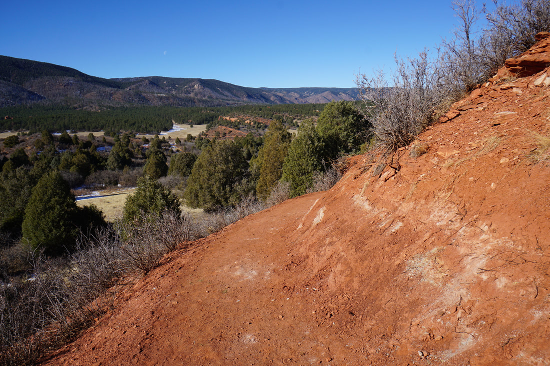
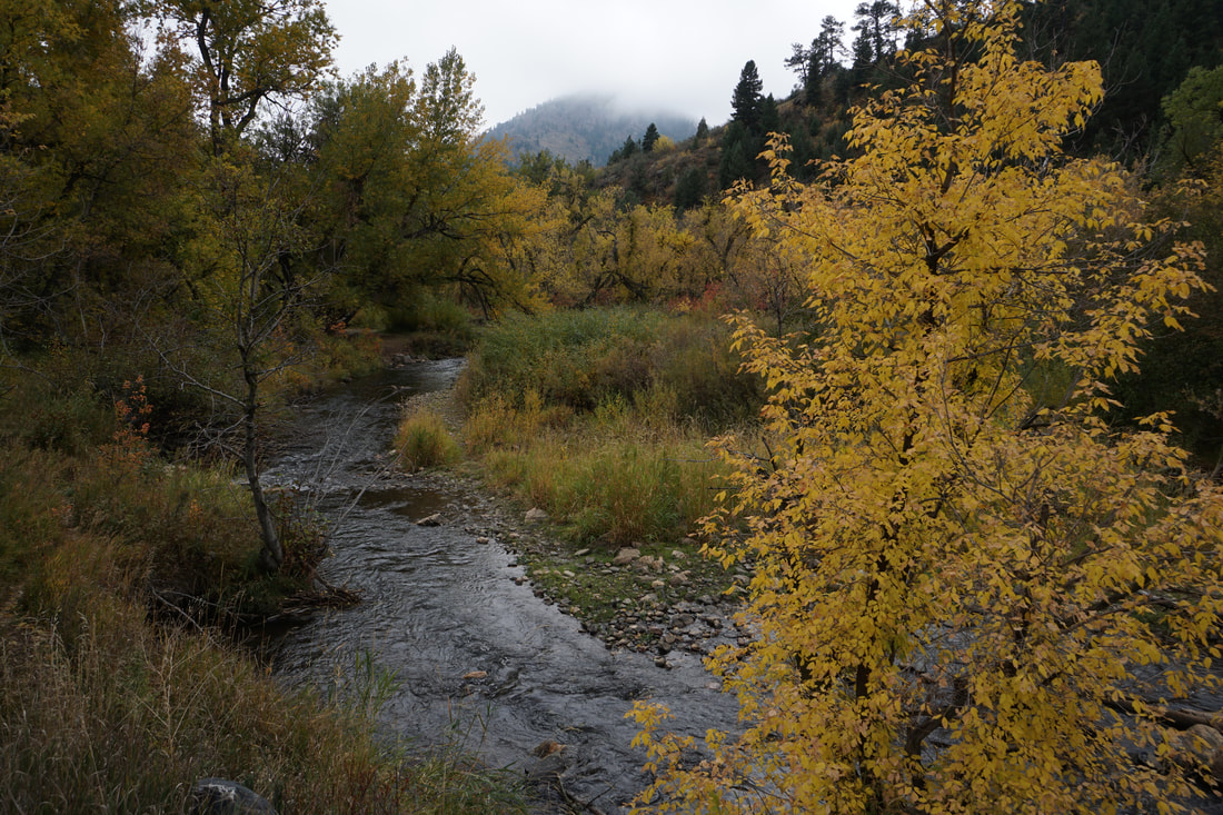
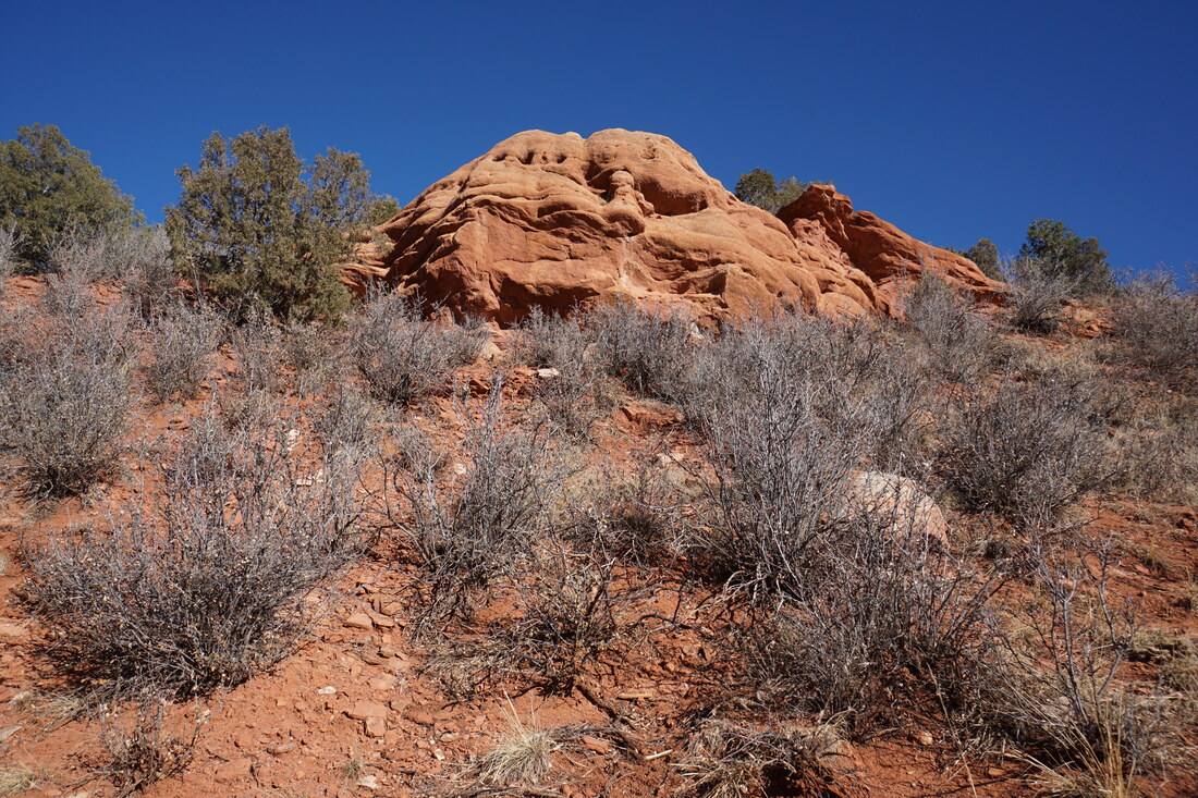
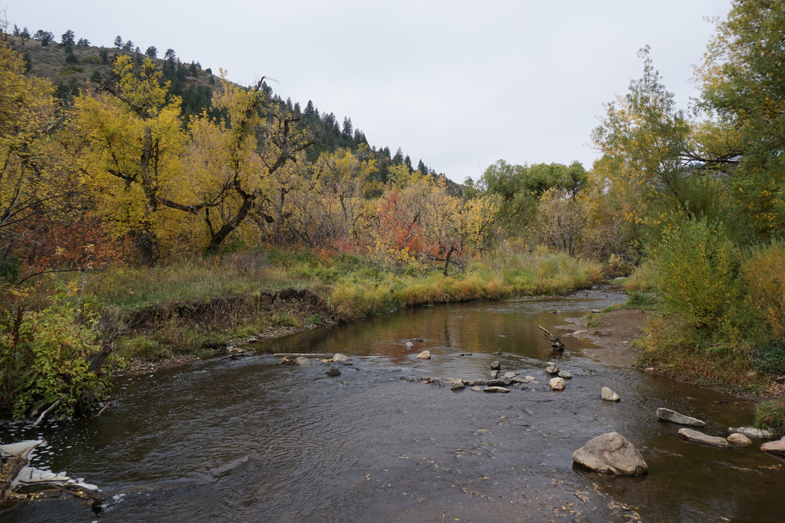
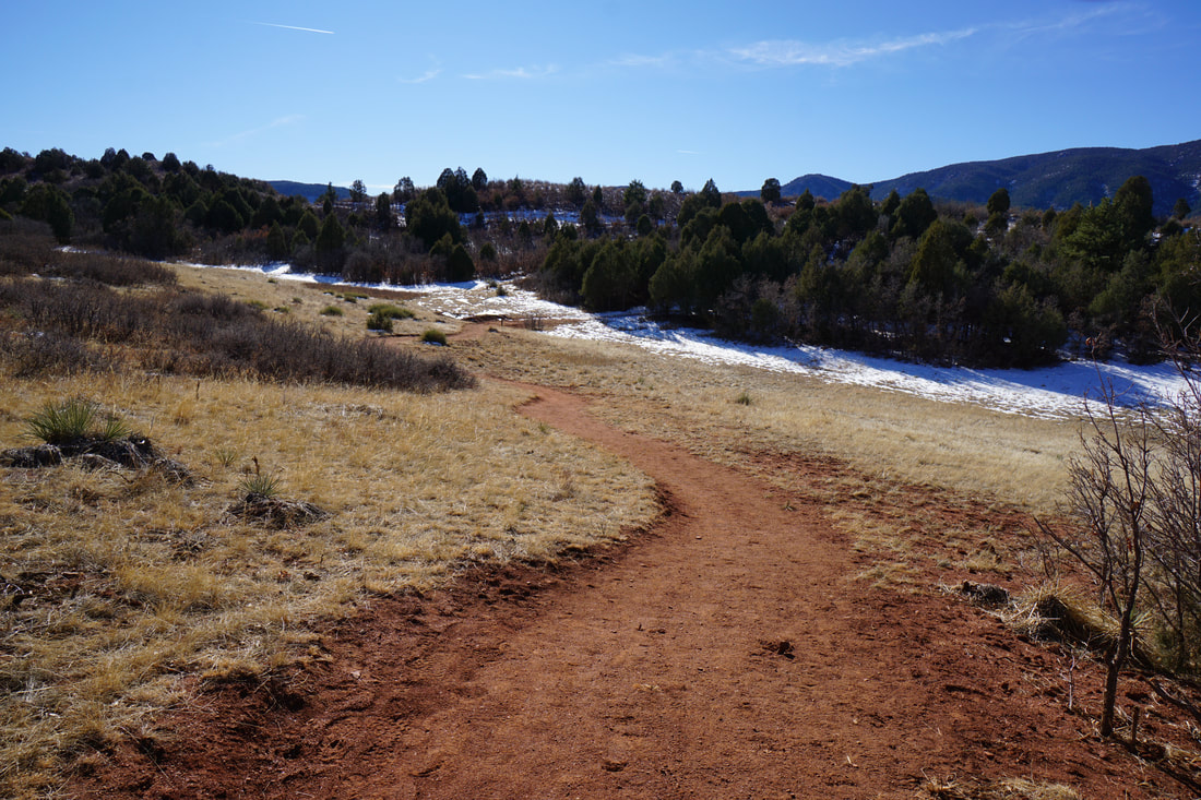
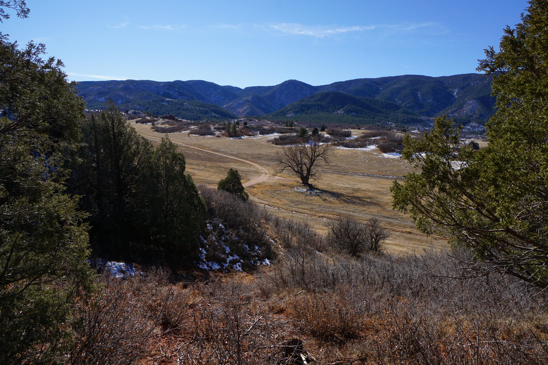
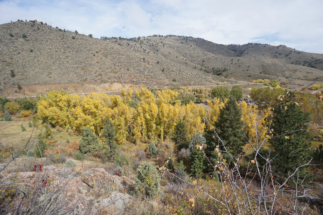
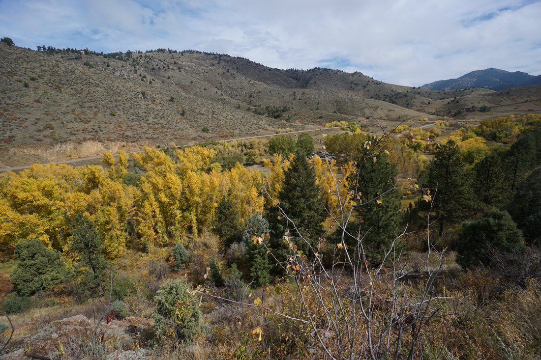
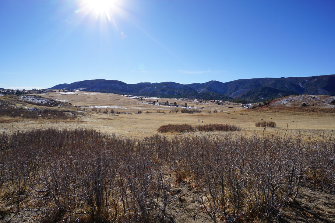
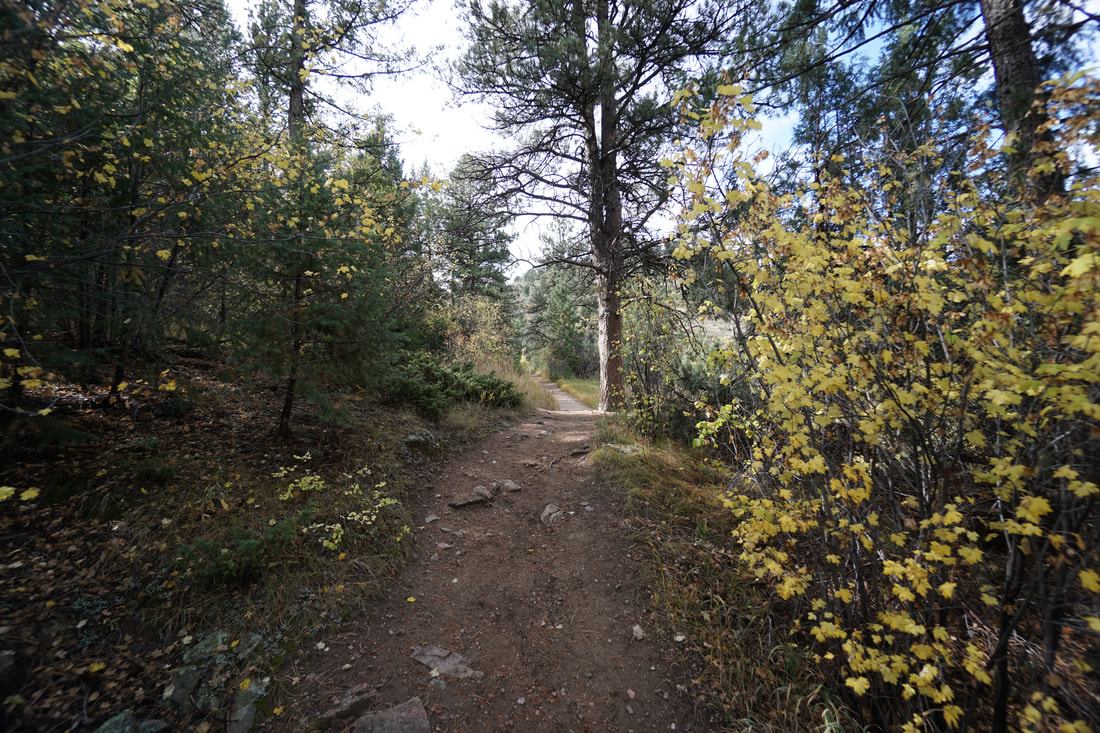
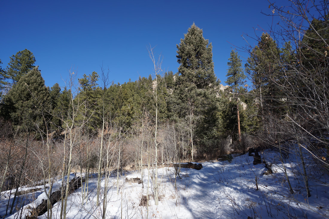
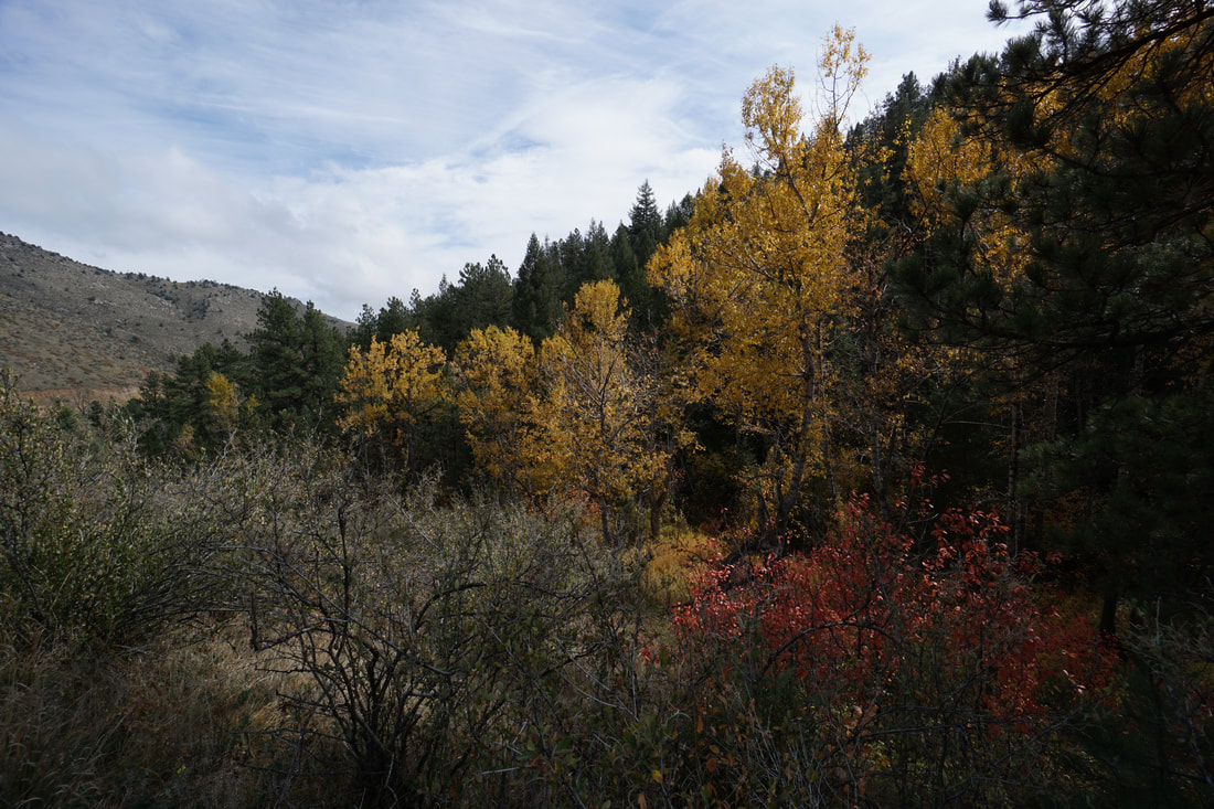
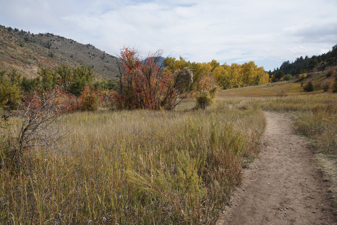
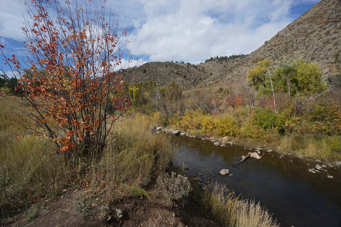
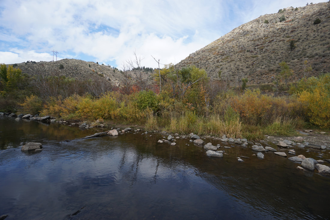
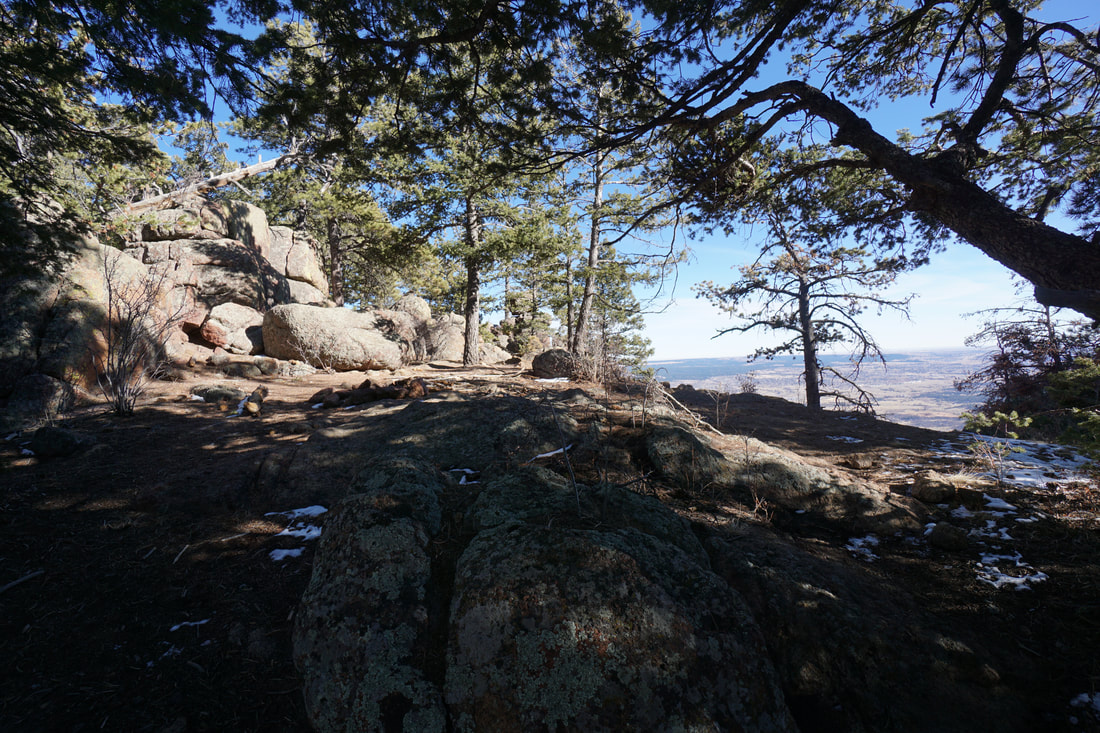
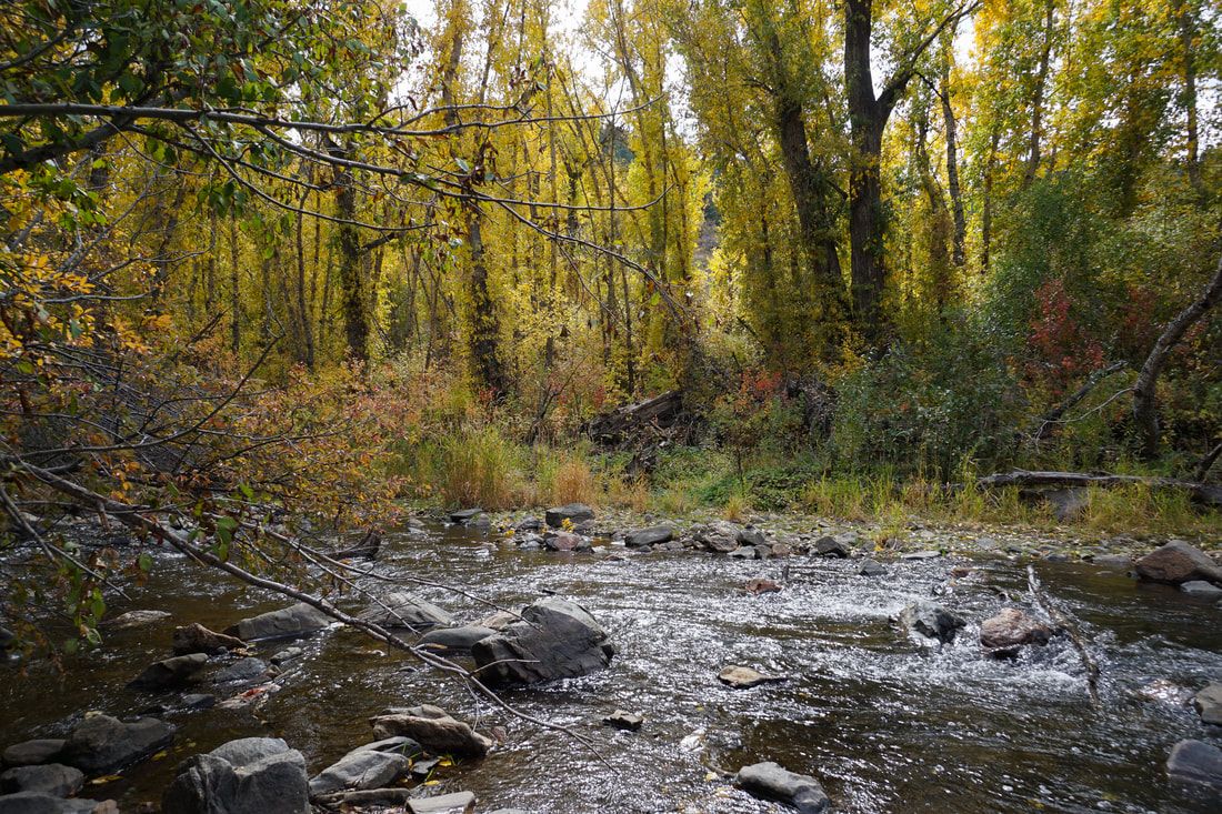
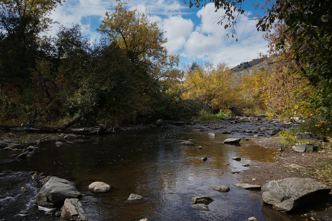
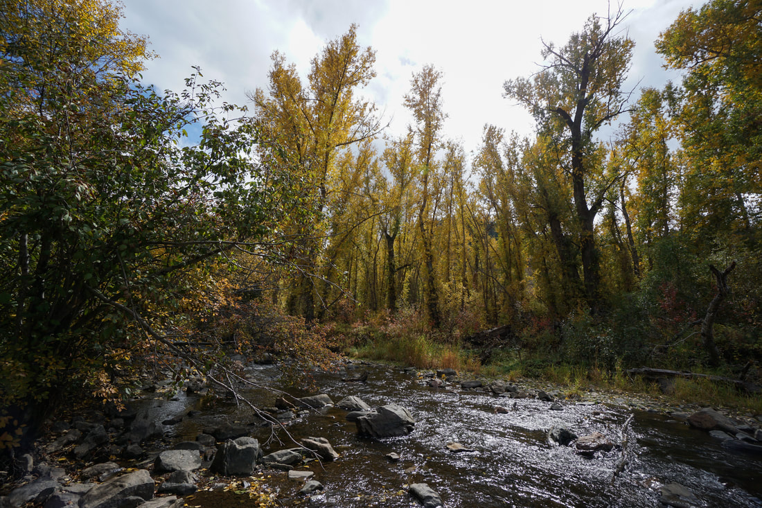
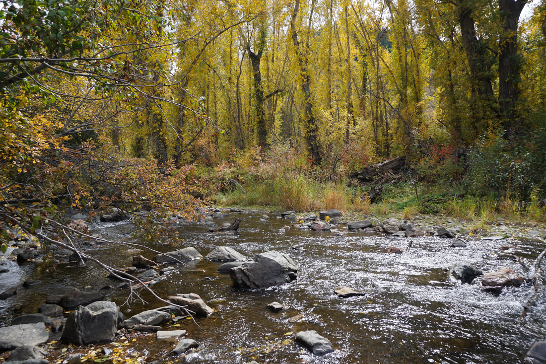
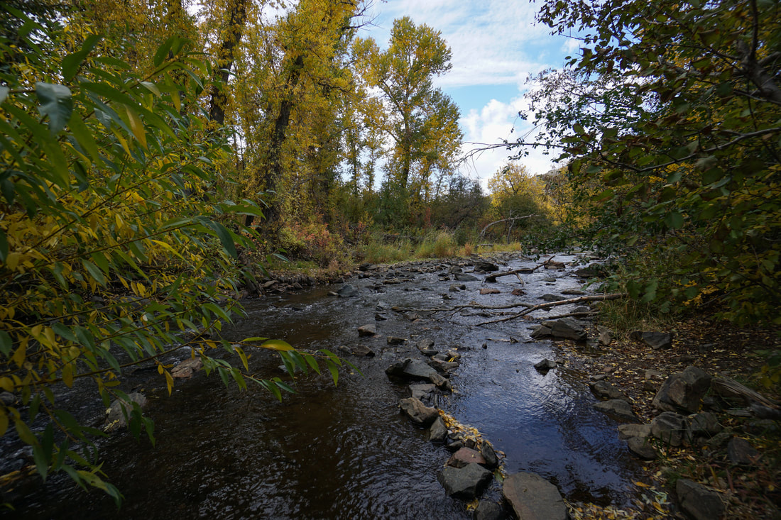
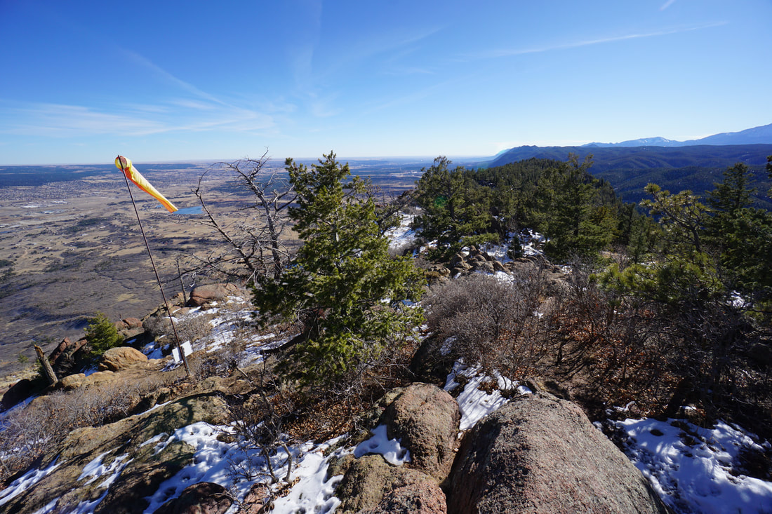
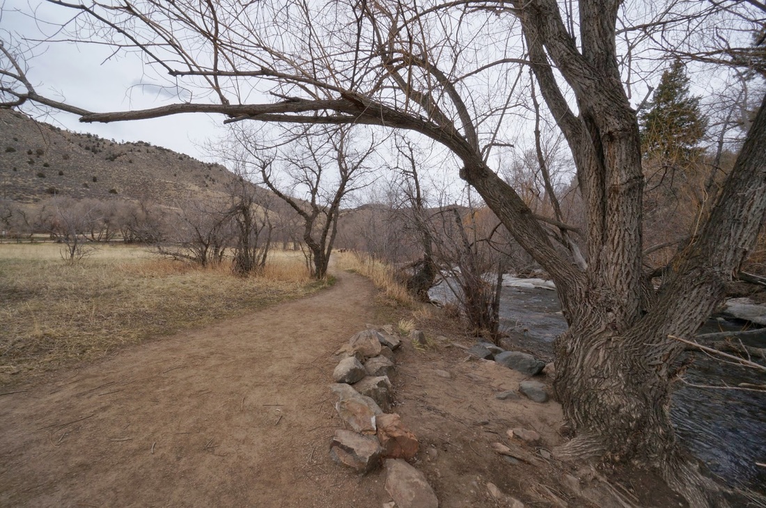
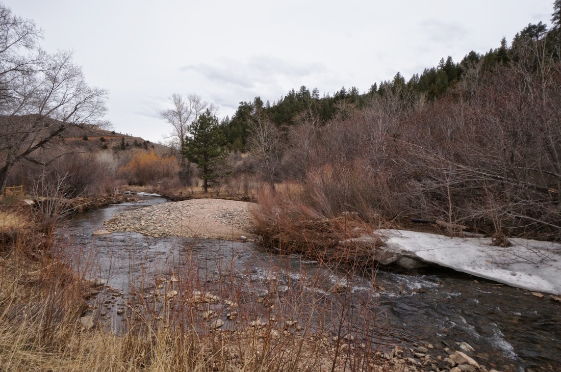
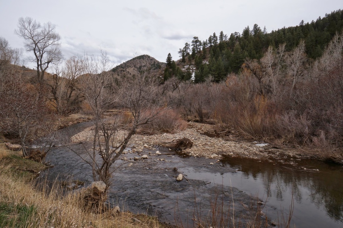
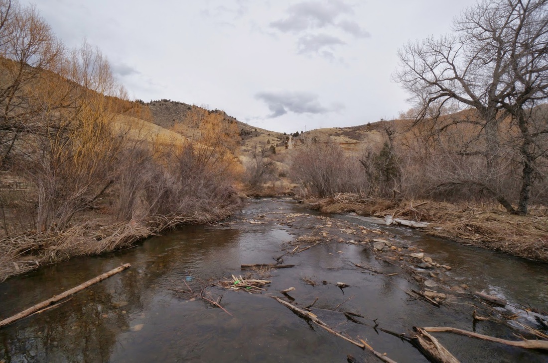
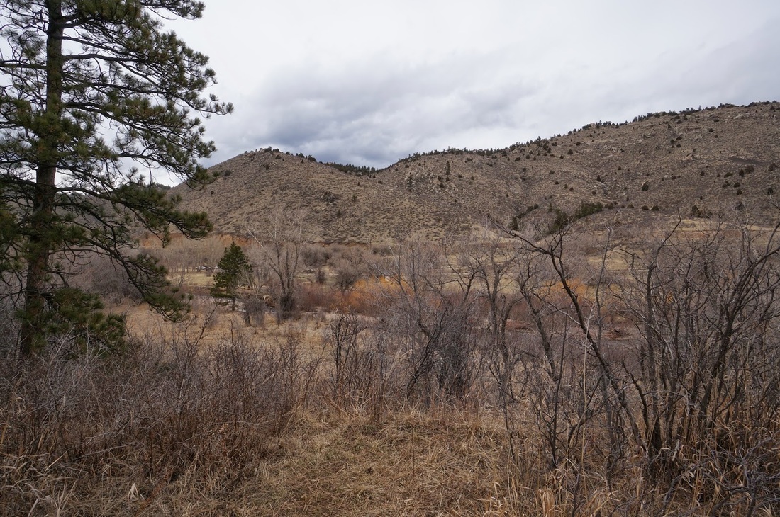
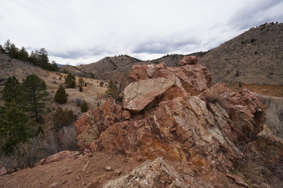
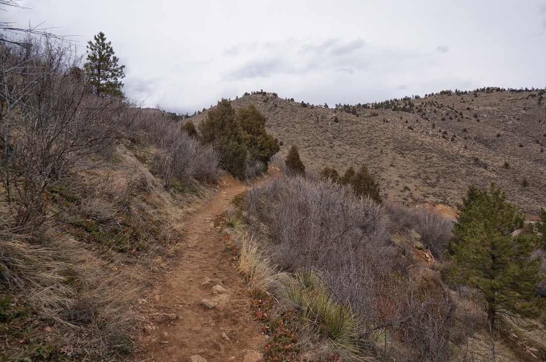
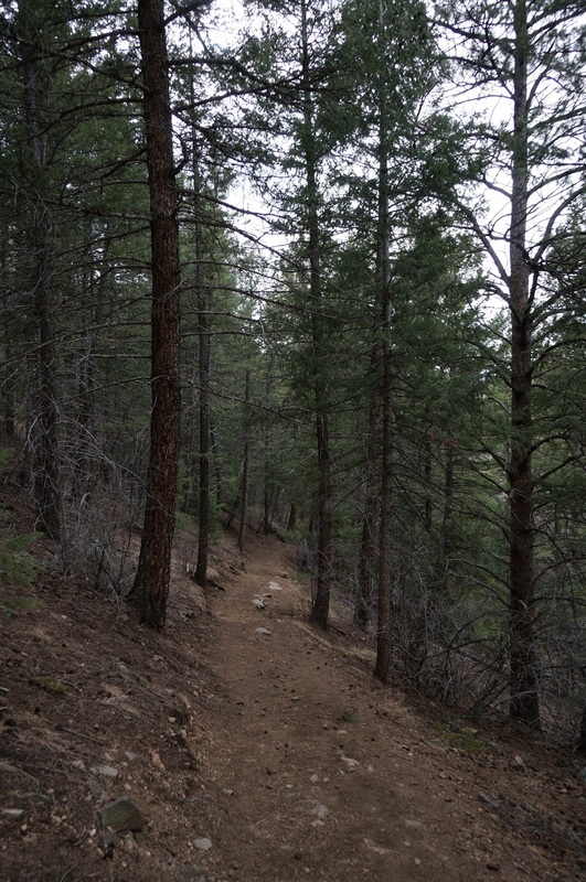
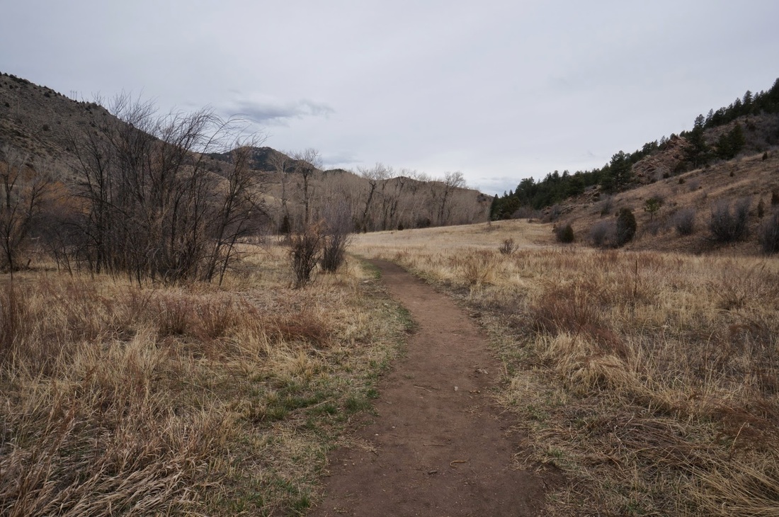
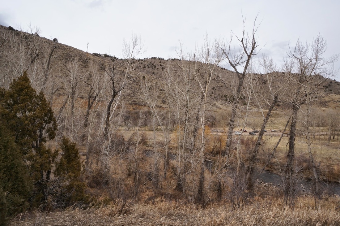
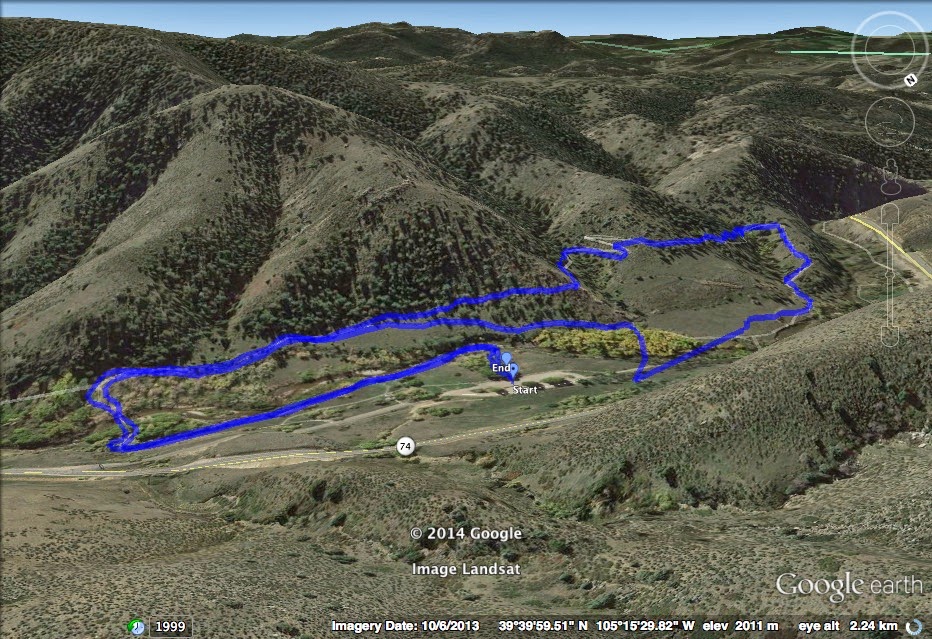
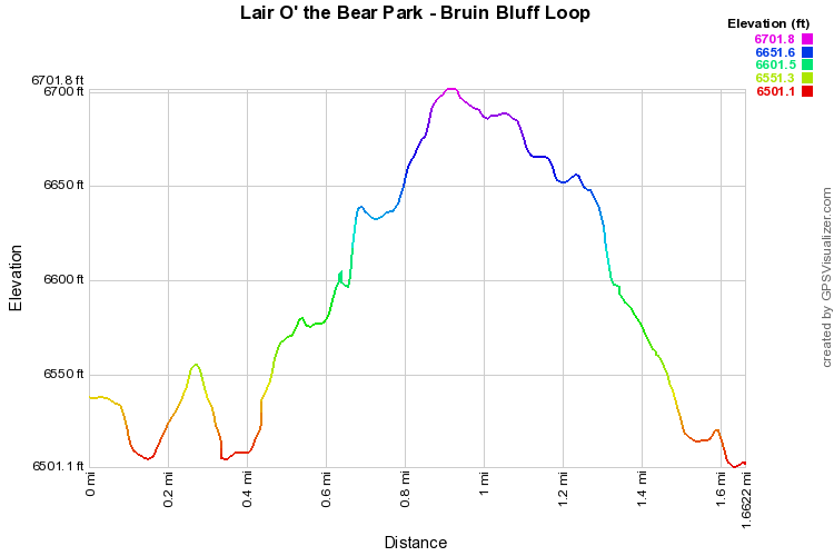
Lair O'the Bear is a small peaceful open space park located in scenic Bear Creek Canyon.  It is the first of a string of parks with good hiking options including; Corwina Park, O'Fallon Park, and Pence Park; all connected by the Bear Creek Trail (BCT).  The Bruin Bluff trail offers a relatively easy jaunt through the foothills brush, evergreen forests, and cottonwood stands (beautiful in early October).  The trail is easy and great for kids but gains enough altitude that it feels like a hike, instead of just a walk. 

From the parking area start by heading towards Bear Creek and turn left on the Creekside Trail.  You follow Bear Creek for a little ways and eventually are lead to the Ouzel Bridge, next to the outdoor classroom.  Cross the bridge to find the Bruin Bluff Trail junction.  Turn right (west) and follow the Bruin Bluff trail along the north face of Bear Creek Canyon for 1.3 miles before descending back down to Bear Creek. 

Once you return to the creek you have a few options.  For this hike description, and the standard loop, cross the Dipper Bridge and turn right along the wide Bear Creek Trail to the parking area.  You can also, cross the Dipper Bridge and head right, but turn off onto the creekside trail and return to the parking lot by following the creek a little further.  You can also take the Castor Cutoff Trail before crossing the Dipper Bridge and return to the Ouzel Bridge for a longer (2.3 mi) hike.
​

April 2014

Powered by Create your own unique website with customizable templates.