|
Directions: Lowell Ponds SWA is located off of Lowell Blvd just south of I-76. To get there from the highlands area of Denver, take 38th Street to Lowell Blvd and go North, Pass under I-70, and continue north for a few miles. The parking area will be off to the left. Park here and walk across the overpass to enter the park and the trail system.
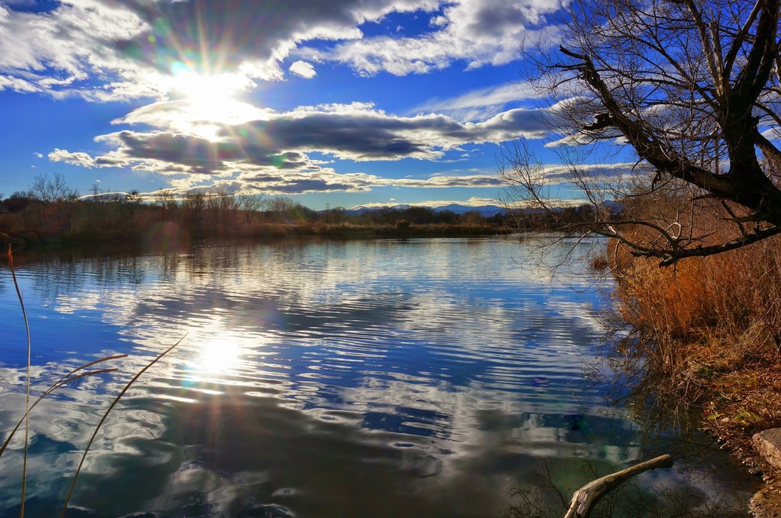
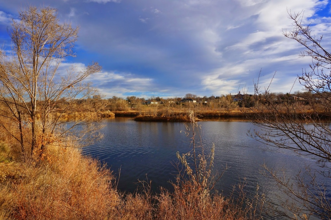
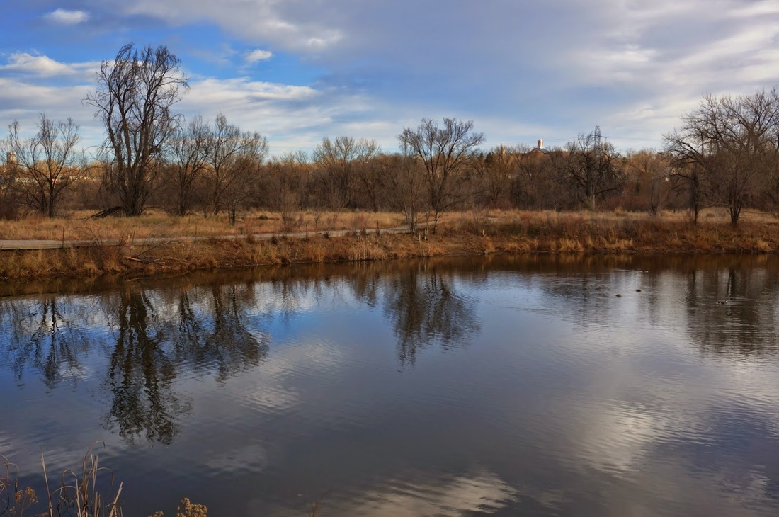
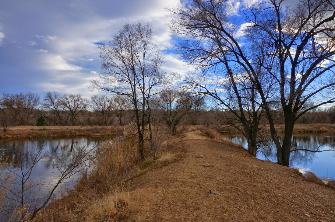
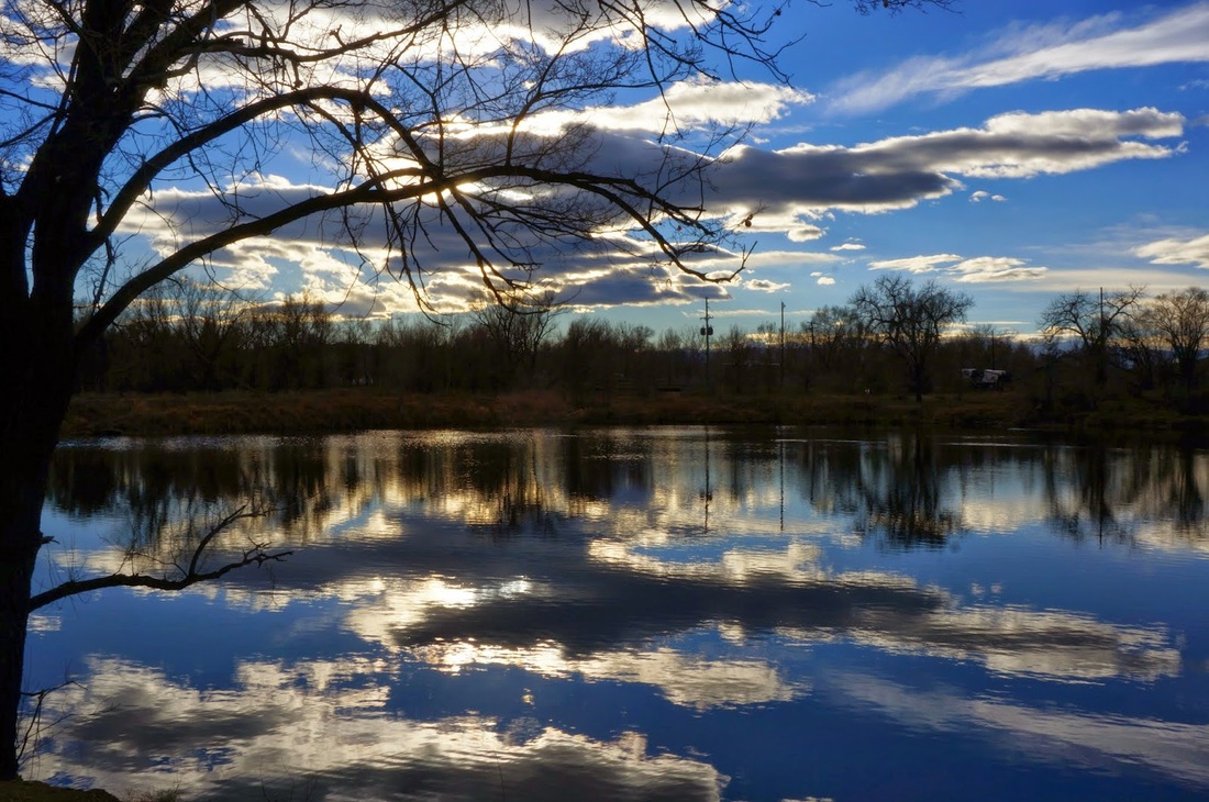
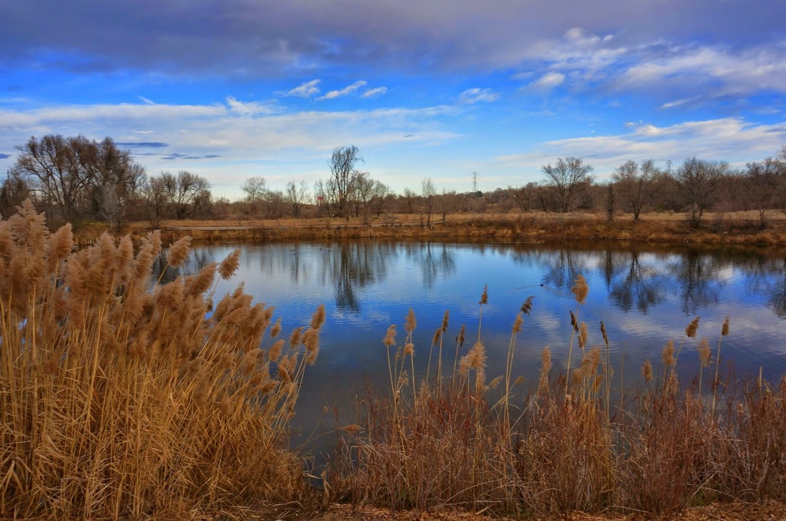
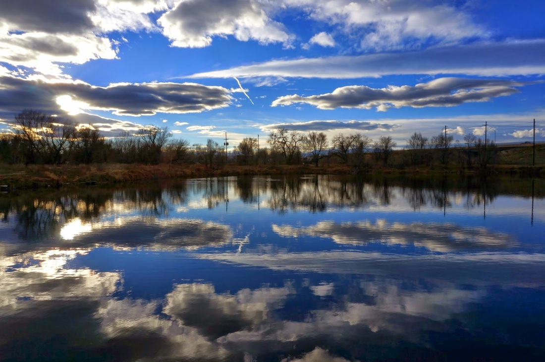
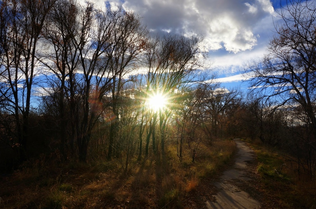
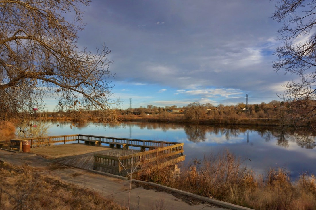
While Lowell Ponds is really meant for fishers, it makes for a nice peaceful easy hike or walk. There are trails that wind between the various lakes, ponds, and Clear Creak and there are relaxing wildlife lookouts. Explore as you will but if you walk all the trails you rack up about 2 miles. You can also explore the Clear Creek trail which runs through the park. While it is a paved bike and walking trail, it makes for a nice excursion in the winter when many of the dirt trails in the area are snow covered or muddy from melting snow. |
|
- HOME
- ABOUT
-
HIKES BY REGION
-
NATIONAL PARK HIKES
- BENT'S OLD FORT NATIONAL HISTORIC SITE
- BLACK CANYON OF THE GUNNISON NATIONAL PARK
- COLORADO NATIONAL MONUMENT
- CURECANTI NATIONAL RECREATION AREA
- DINOSAUR NATIONAL MONUMENT
- FLORISSANT FOSSIL BEDS NATIONAL MONUMENT
- MESA VERDE NATIONAL PARK
- ROCKY MOUNTAIN NATIONAL PARK
- GREAT SAND DUNES NATIONAL PARK
- HOVENWEEP NATIONAL MONUMENT
- SAND CREEK MASSACRE NATIONAL HISTORIC SITE
- YUCCA HOUSE NATIONAL MONUMENT
- HIKES BY CATEGORY
- NEWS
- WEBCAMS
- $UPPORT GHC
- INTERACTIVE MAP
Lowell Ponds
State Wildlife Area
Date Hiked: March 29, 2012
Distance: 1.8 mi (RT)
Elevation Gain: Negligible
Managing Agency: CO Parks & Wildlife
Fee: None