GO HIKE COLORADO
Get in Touch:
  • HOME
  • ABOUT
  • HIKES BY REGION
    • DENVER AREA >
      • Denver Mountain Parks
      • Jefferson County Open Space
      • Lakewood Parks
      • Denver Area Greenways
    • BOULDER AREA
    • DOUGLAS COUNTY
    • FORT COLLINS AREA
    • COLORADO SPRINGS AREA
    • FRONT RANGE
    • TENMILE & MOSQUITO RANGES
    • GORE RANGE
    • SANGRE DE CRISTO MOUNTAINS
    • PARK RANGE
    • SAWATCH RANGE
    • ELK MOUNTAINS
    • SAN JUAN MOUNTAINS
    • THE FLAT TOPS
    • GRAND MESA
    • COLORADO PLATEAU
    • EASTERN PLAINS
  • NATIONAL PARK HIKES
    • BENT'S OLD FORT NATIONAL HISTORIC SITE
    • BLACK CANYON OF THE GUNNISON NATIONAL PARK
    • COLORADO NATIONAL MONUMENT
    • CURECANTI NATIONAL RECREATION AREA
    • DINOSAUR NATIONAL MONUMENT
    • FLORISSANT FOSSIL BEDS NATIONAL MONUMENT
    • MESA VERDE NATIONAL PARK
    • ROCKY MOUNTAIN NATIONAL PARK
    • GREAT SAND DUNES NATIONAL PARK
    • HOVENWEEP NATIONAL MONUMENT
    • SAND CREEK MASSACRE NATIONAL HISTORIC SITE
    • YUCCA HOUSE NATIONAL MONUMENT
  • HIKES BY CATEGORY
    • HIKES TO ALPINE LAKES
    • HIKES TO PEAKS & PASSES
    • HIKES THROUGH CANYONS
    • HIKES WITH FALL COLORS
    • HIKES ALONG THE I-70 CORRIDOR
    • HIKES ON PAVED TRAILS
    • HIKES FOR KIDS
    • HIKES TO WATERFALLS
    • HIKES ALONG RIVERS
    • HIKES WITH ROCK FORMATIONS
    • HIKES WITH WILDFLOWERS
    • WINTER HIKES
  • NEWS
  • WEBCAMS
  • $UPPORT GHC
  • INTERACTIVE MAP

Pronghorn Natural Area
North Section

Date Hiked: June 5, 2020

Distance: 2.8 mi (RT)
Elevation Gain: 150 ft
Elevation Min/Max: 5,731 to 5,811 ft
Trailhead Lat/Long: 39.63869, -104.67423
Managing Agency: City of Aurora
​Fee: None

Pronghorn NA North Trail Map
Picture

Directions:  From Denver, take I-70 east to E-470.  Take E-470 south to Quincy Ave.  Follow Quincy Ave east, past the entrance to the County Fairgrounds to the trailhead on the left.  

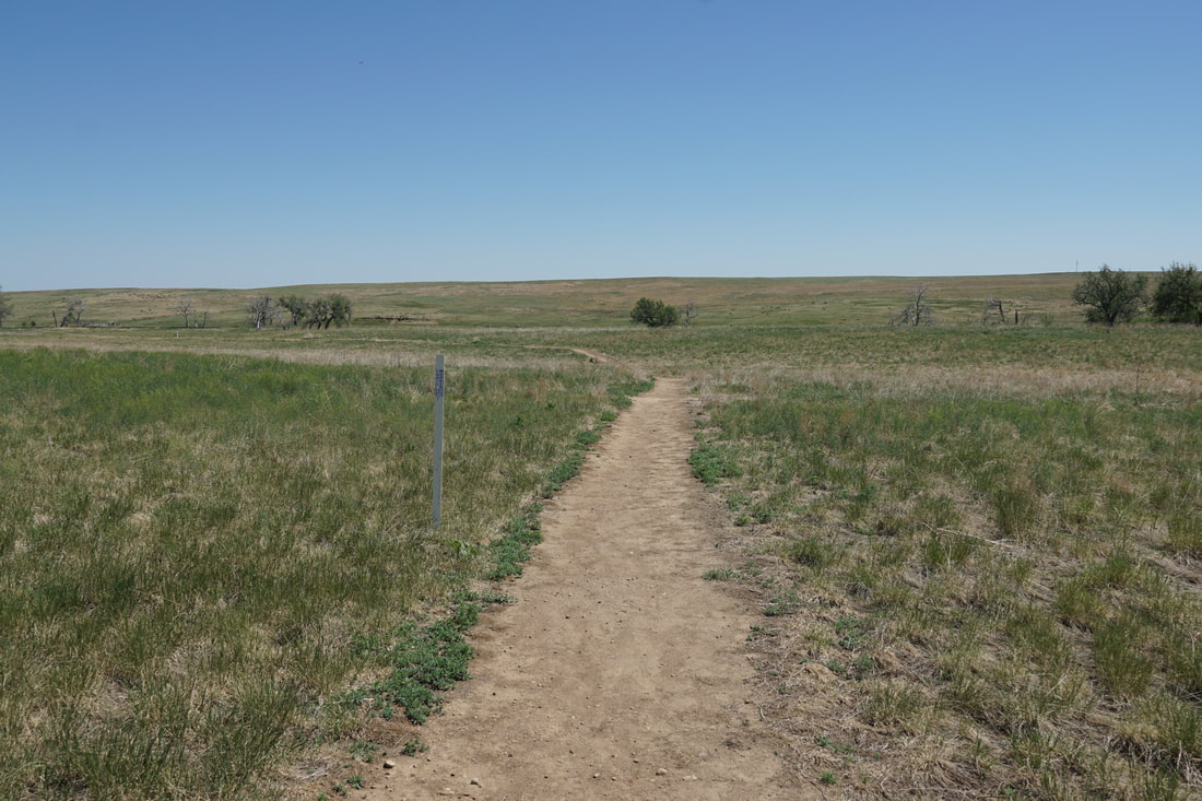
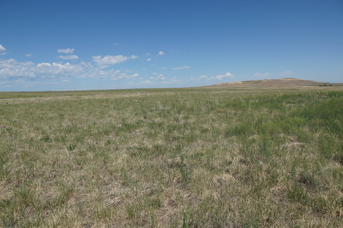
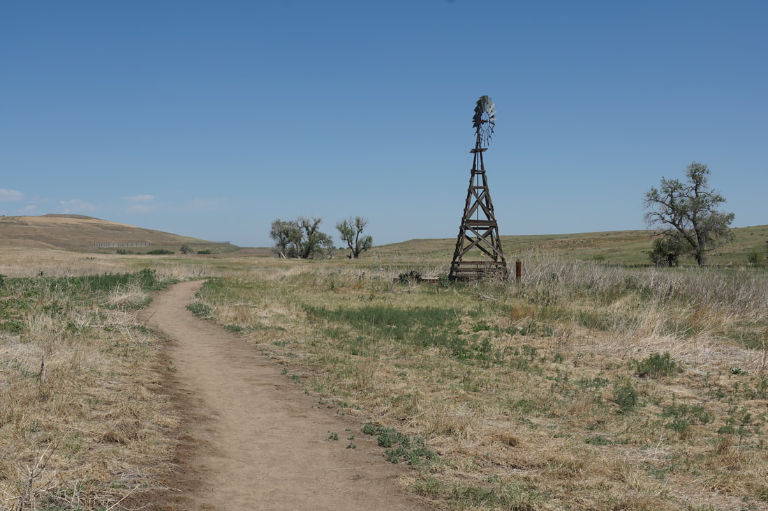
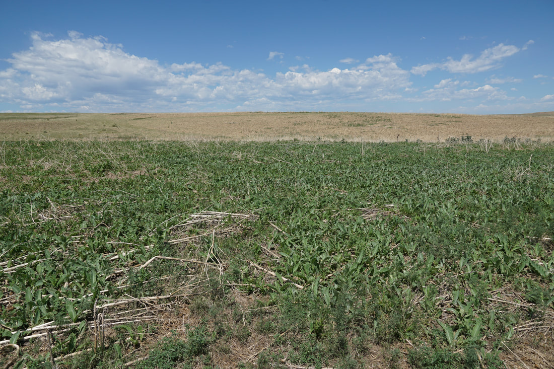
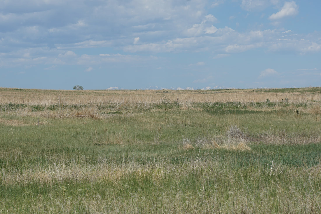
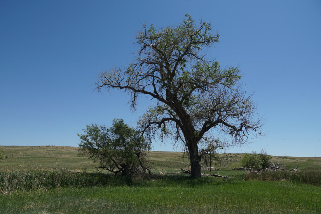
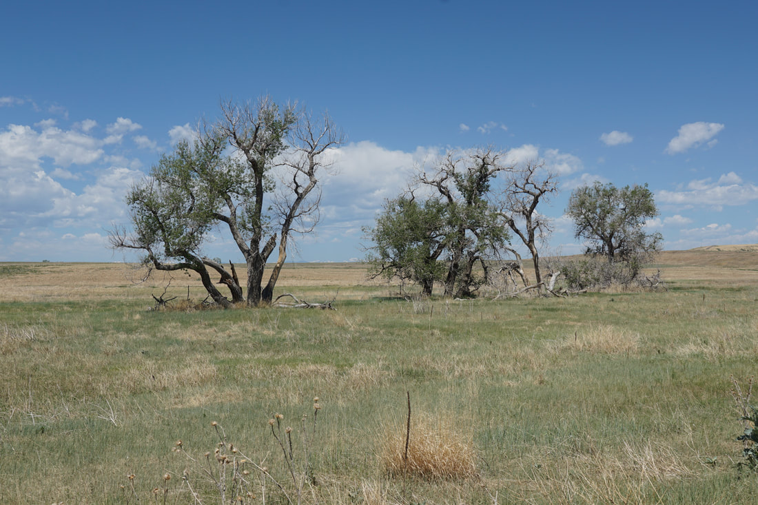
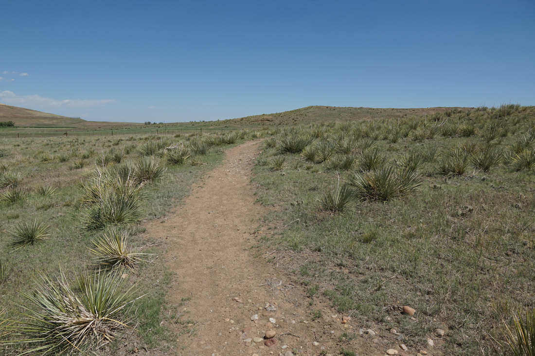
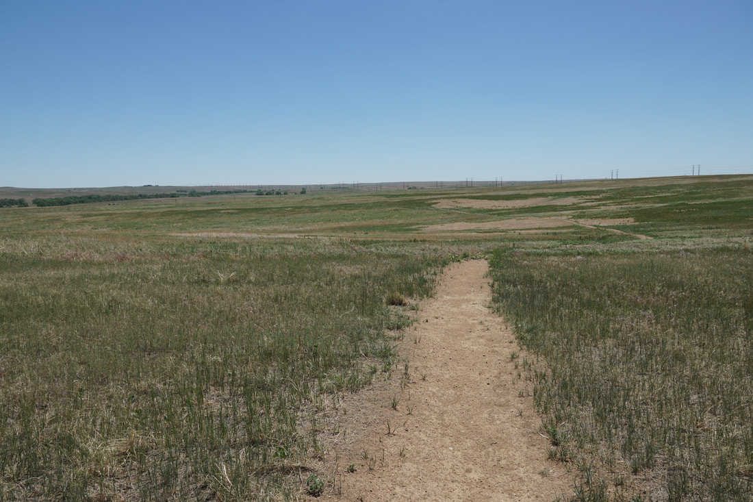
The Pronghorn Natural Area is a pleasant open space park in eastern Aurora.  The park represents a natural prairie landscape with tall grasses, a small creek, historic structures, and a relatively easy 1.4 mi (one way) hiking trail.  

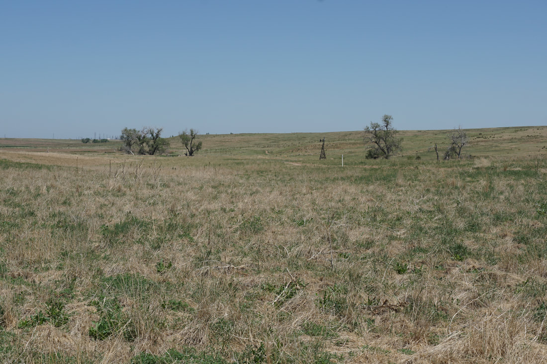
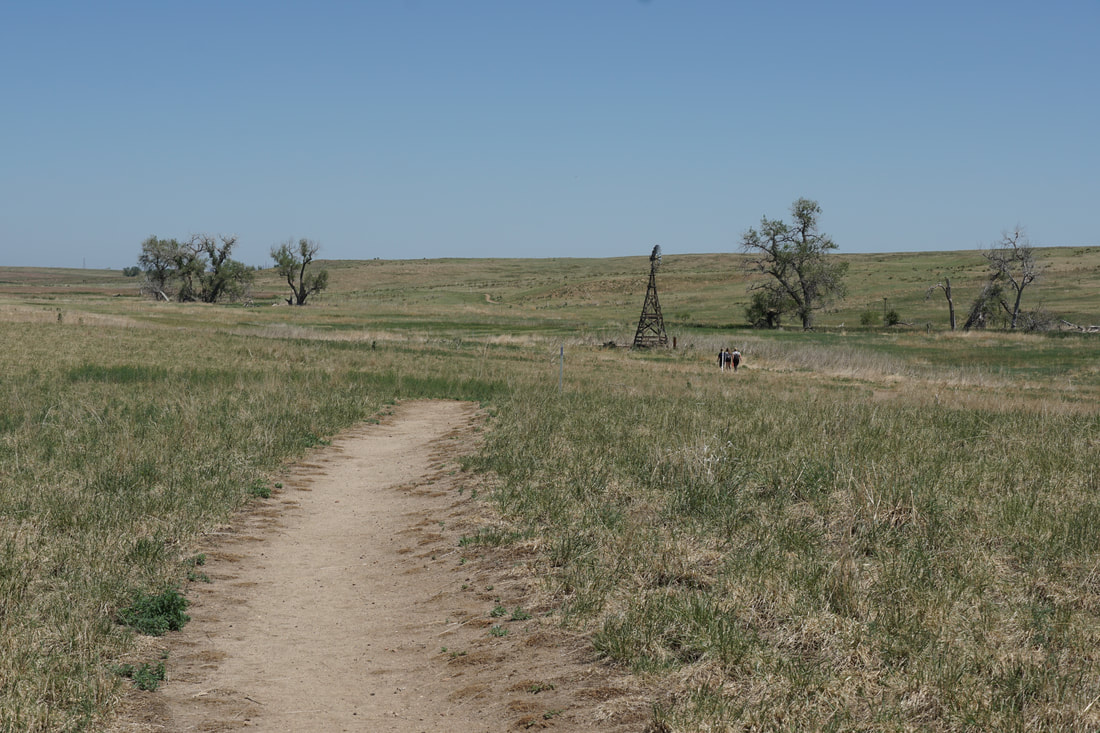
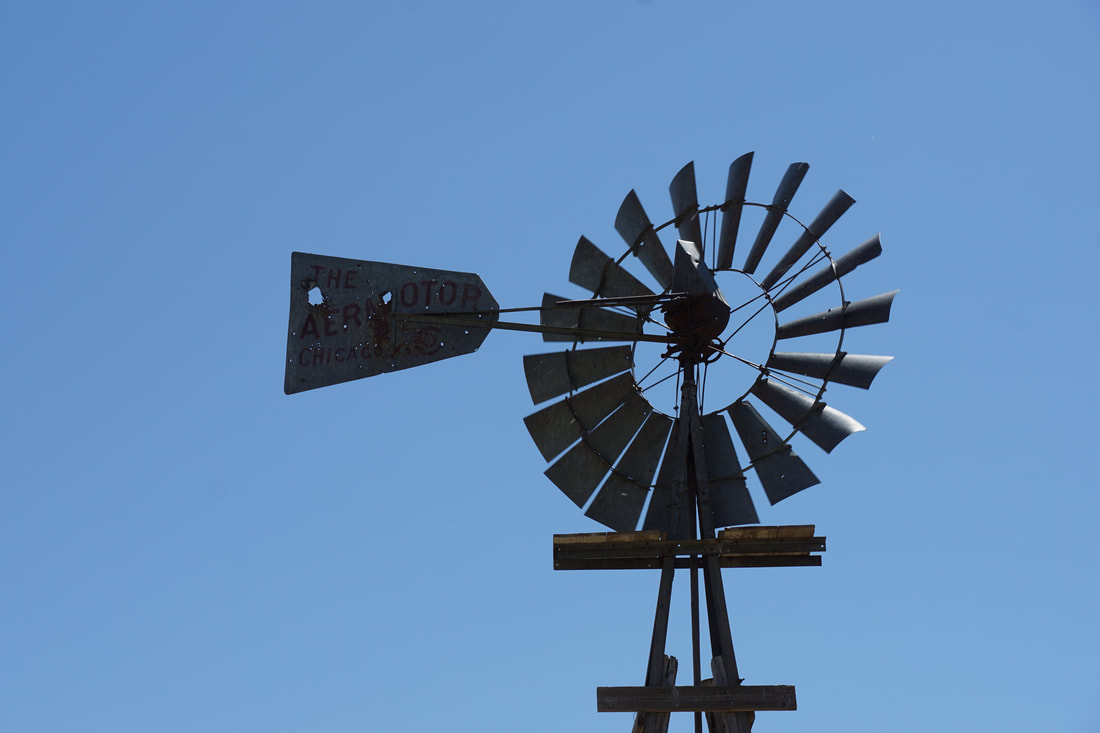
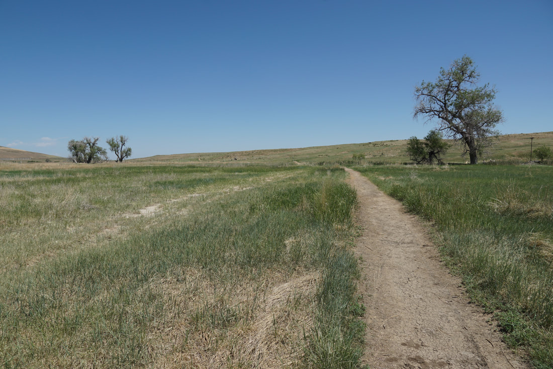
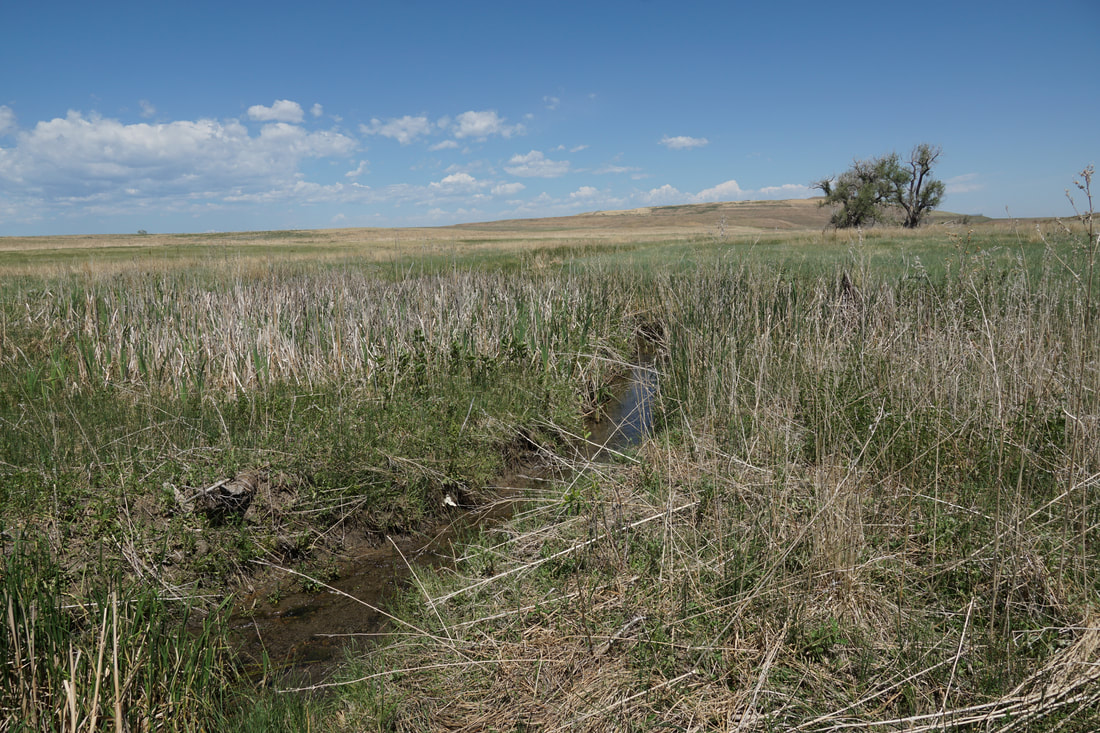
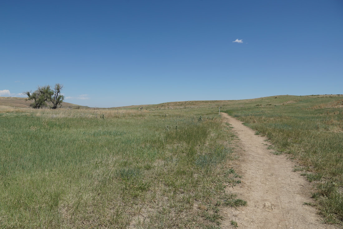
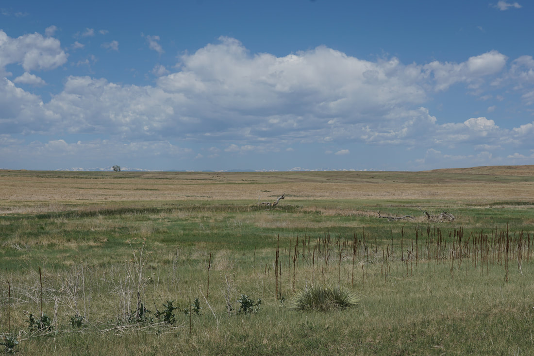
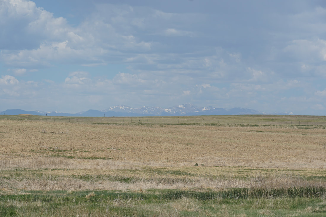
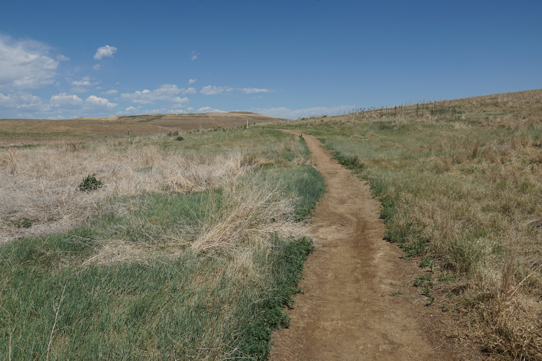
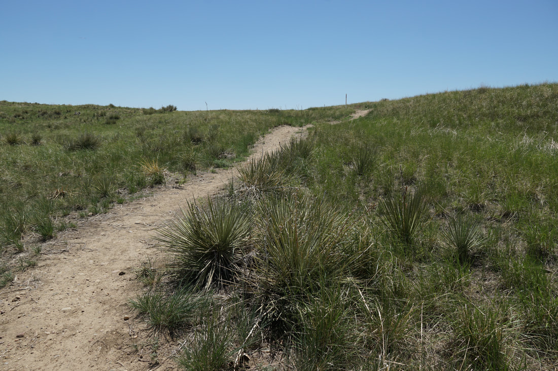
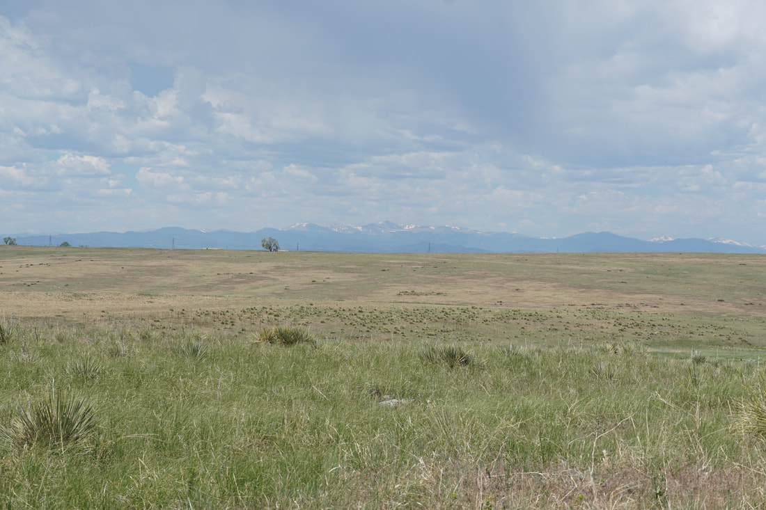
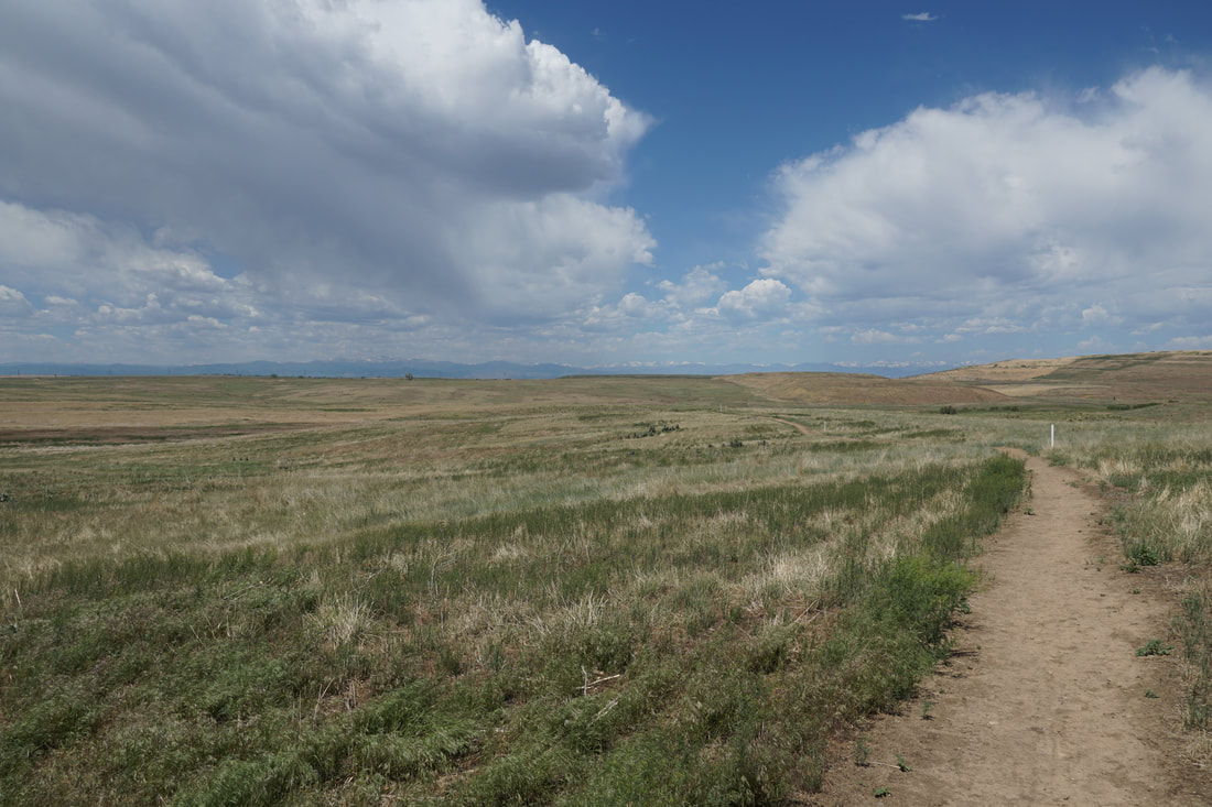
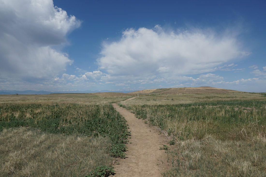
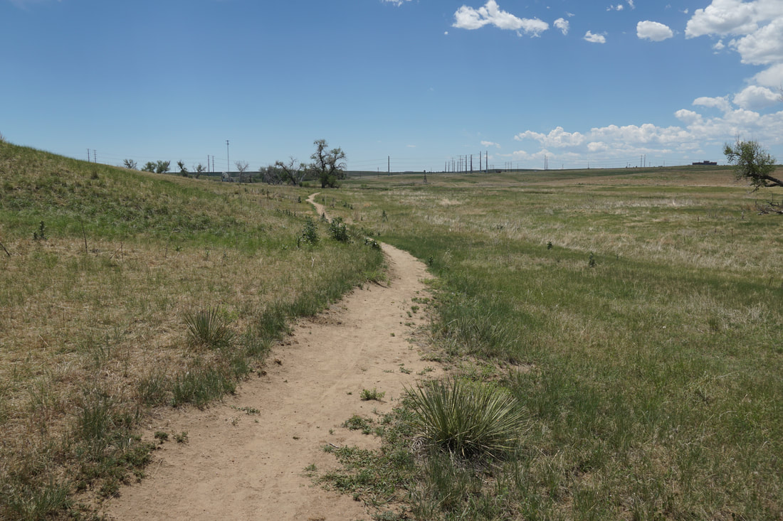
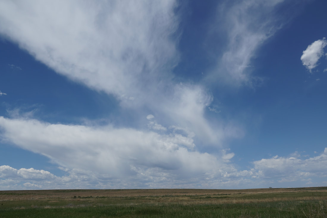
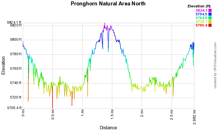
From the parking lot, the trail heads north descending a gentle slope down to a historic wind mill.  From here, the trail climbs a hillside providing sweeping prairie views.  The trail soon crosses a small creek.  As you gain elevation heading north the Front Range Mountains come into view.  Soon the trail veers to the east and climbs a hill more steeply.  When you reach the top of the hill, the trail flattens and follows the hilltop to the east.  The views from the top of the hill are beautiful.  

The trail continues downhill and reaches a small road however, the top of the hill is a good place to stop and turn back.  This makes for a nice and easy 2.8 mile out and back hike. 

The northern section of the Pronghorn Natural Area is a nice hike when you want to experience a little bit of the eastern plains without driving too far from Denver.  
Powered by Create your own unique website with customizable templates.