|
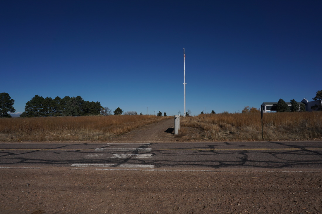
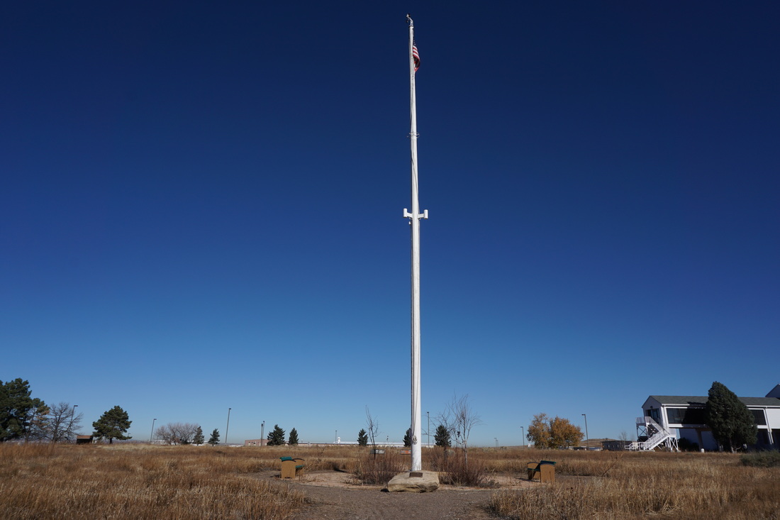
Directions: From I-70 take the Quebec Exit and head north on Quebec Pkwy. Turn right onto Gateway Road following signs to the Refuge. Turn left to stay on Gateway Road and drive through the open space area. Enter the Rocky Mt. Arsenal gate where the road becomes Wildlife Drive. Follow the signs to "Lakes/Trails" and make your way to the contact station near the lakes. When you enter the parking area for the lakes, look to the north of the contact station for the Locust Loop Trailhead.
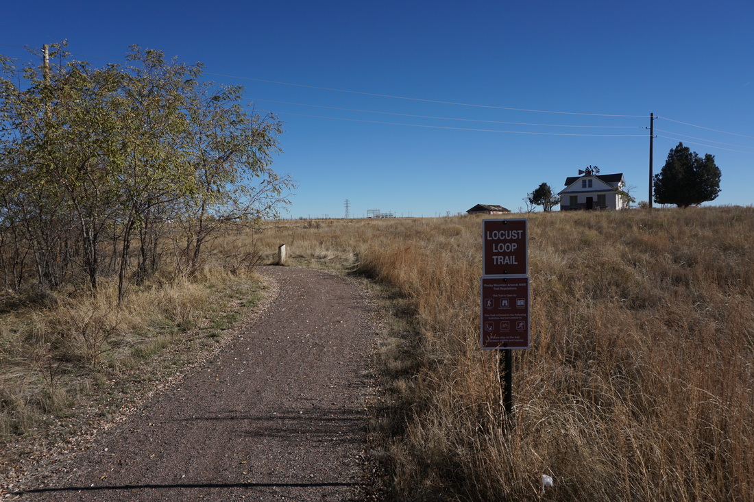
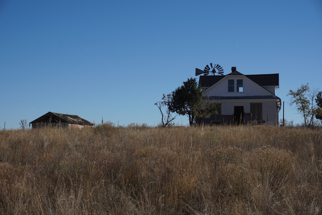
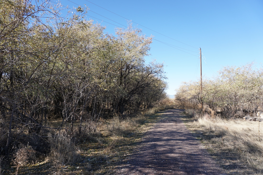
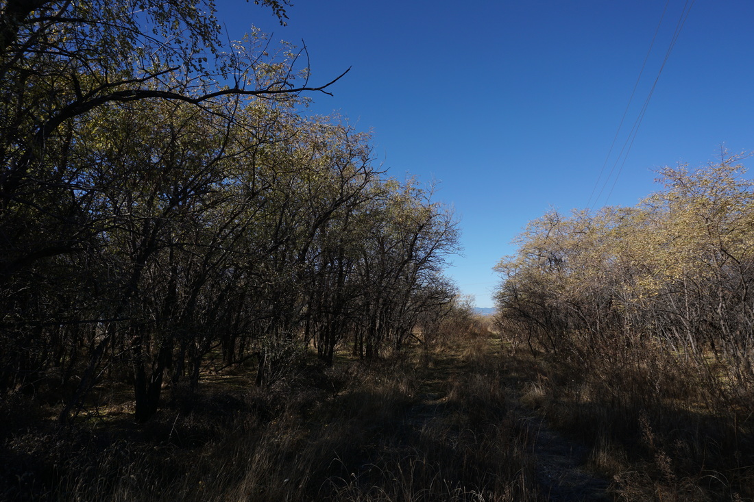
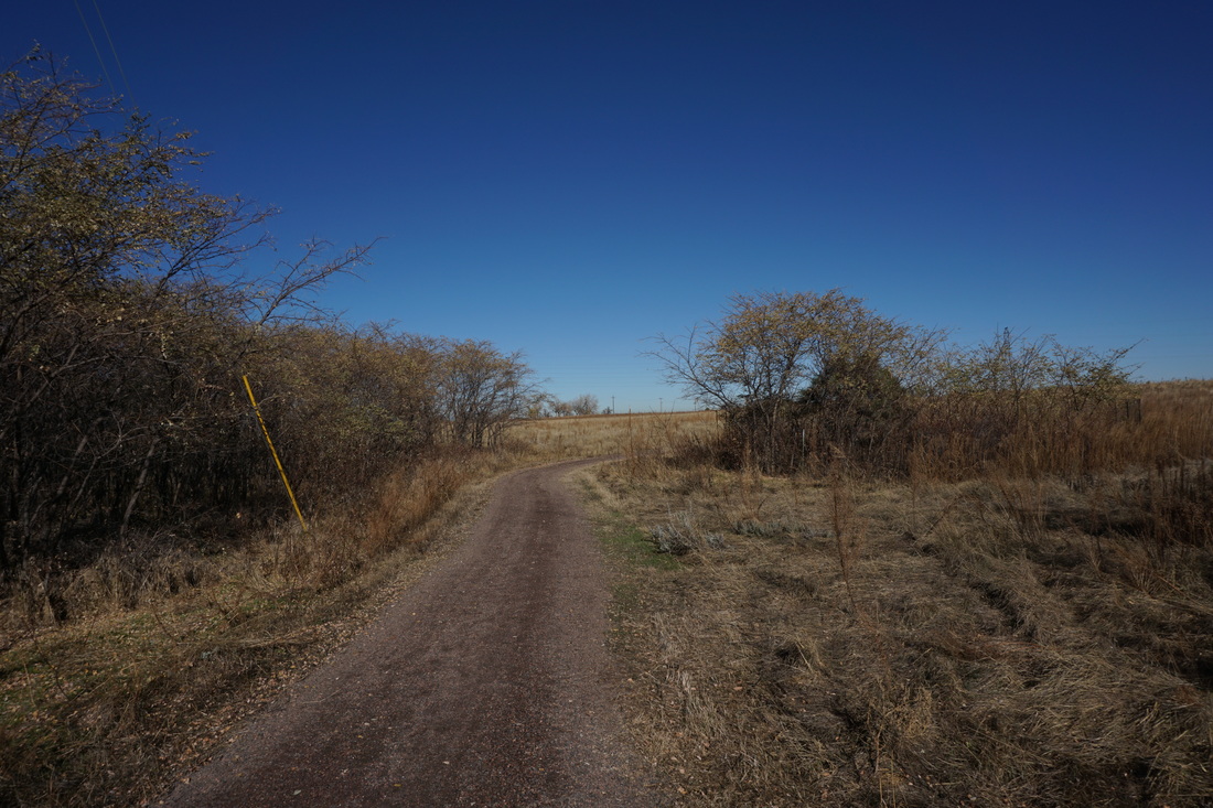
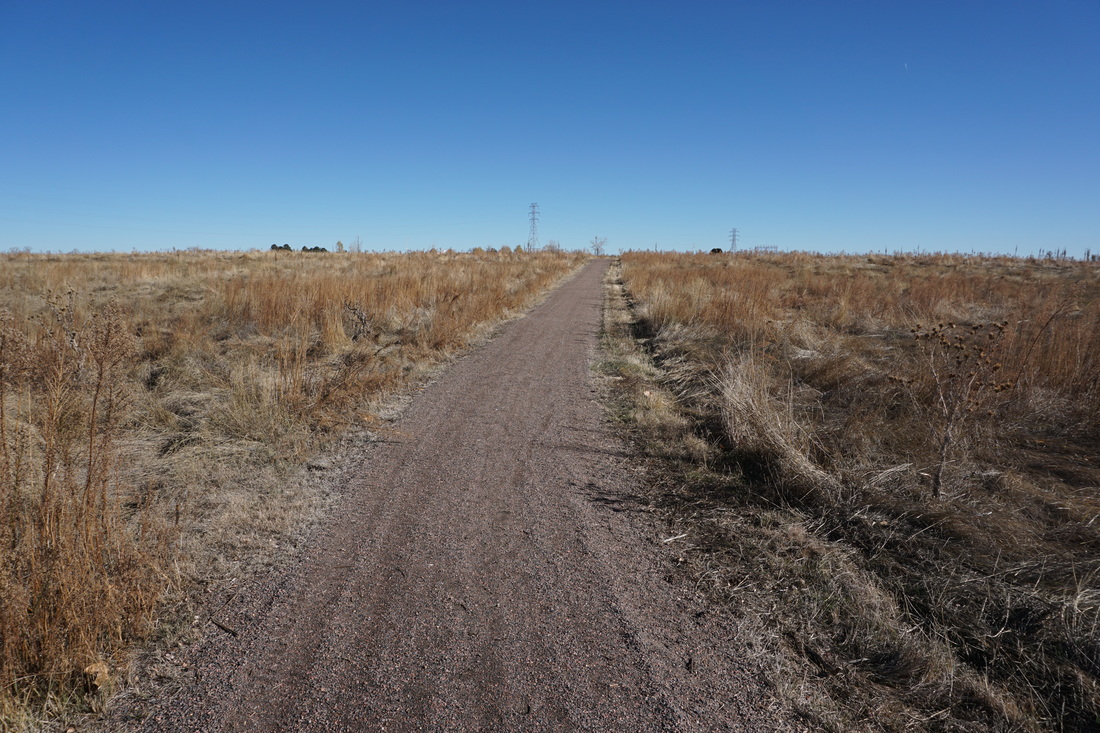
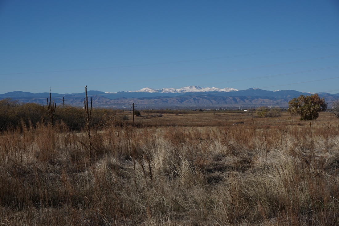
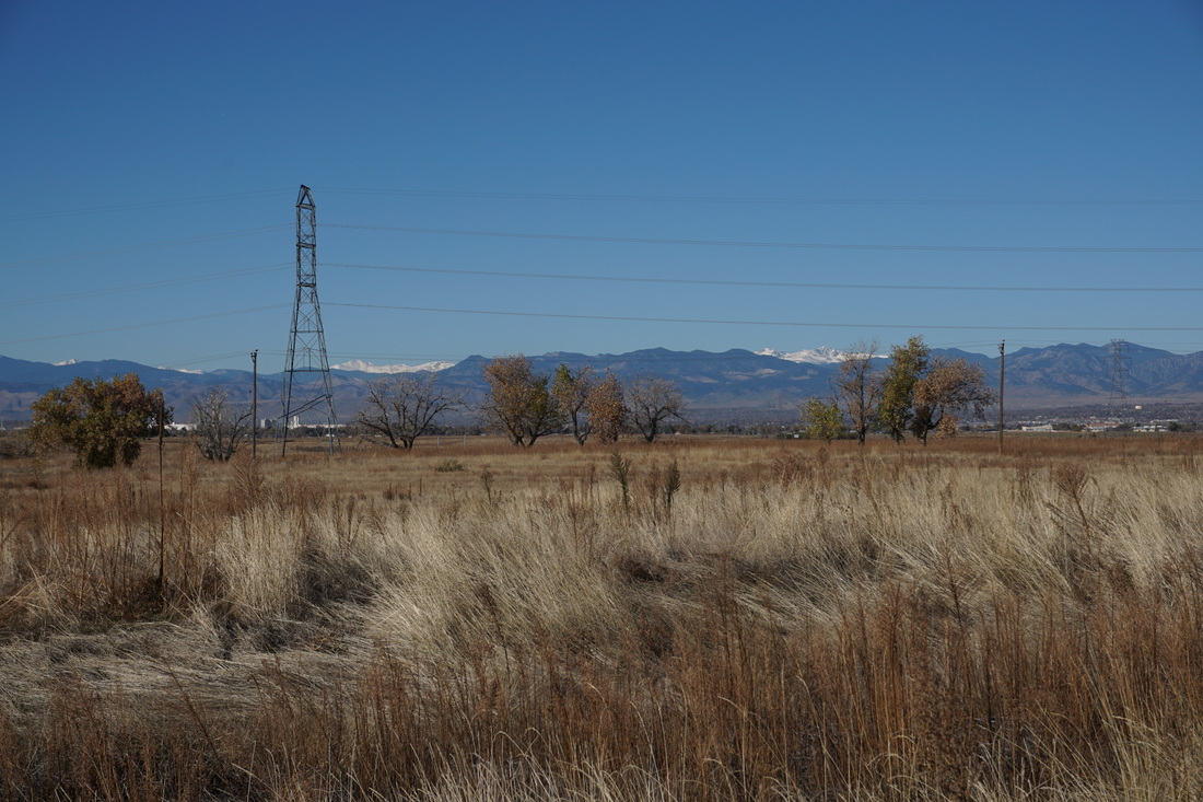
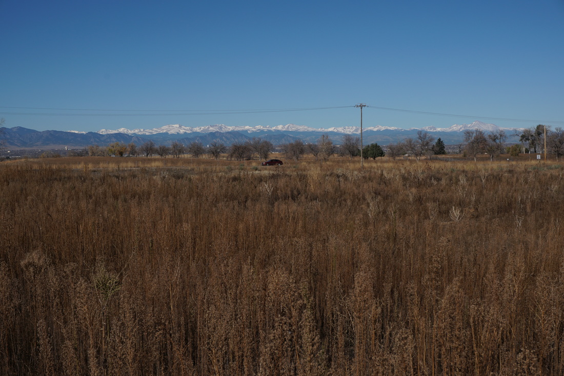
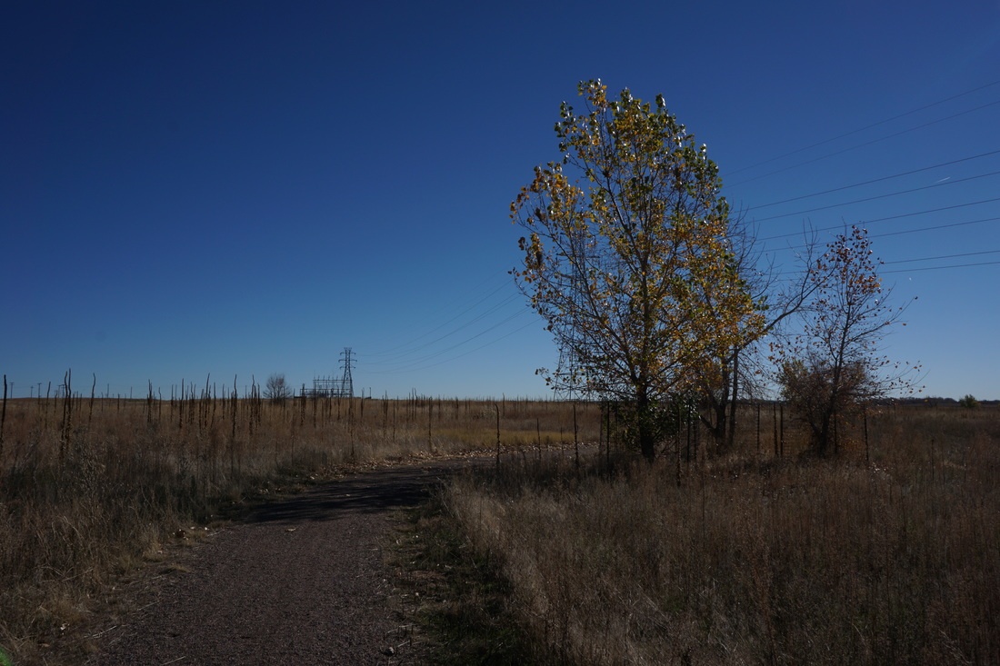
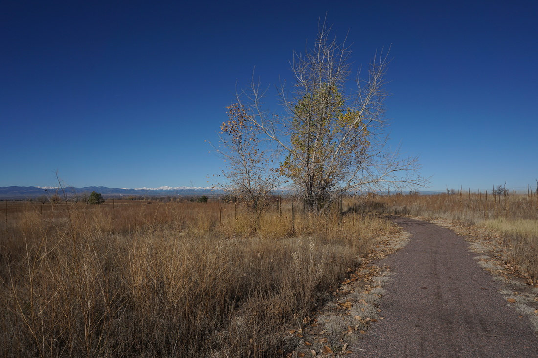
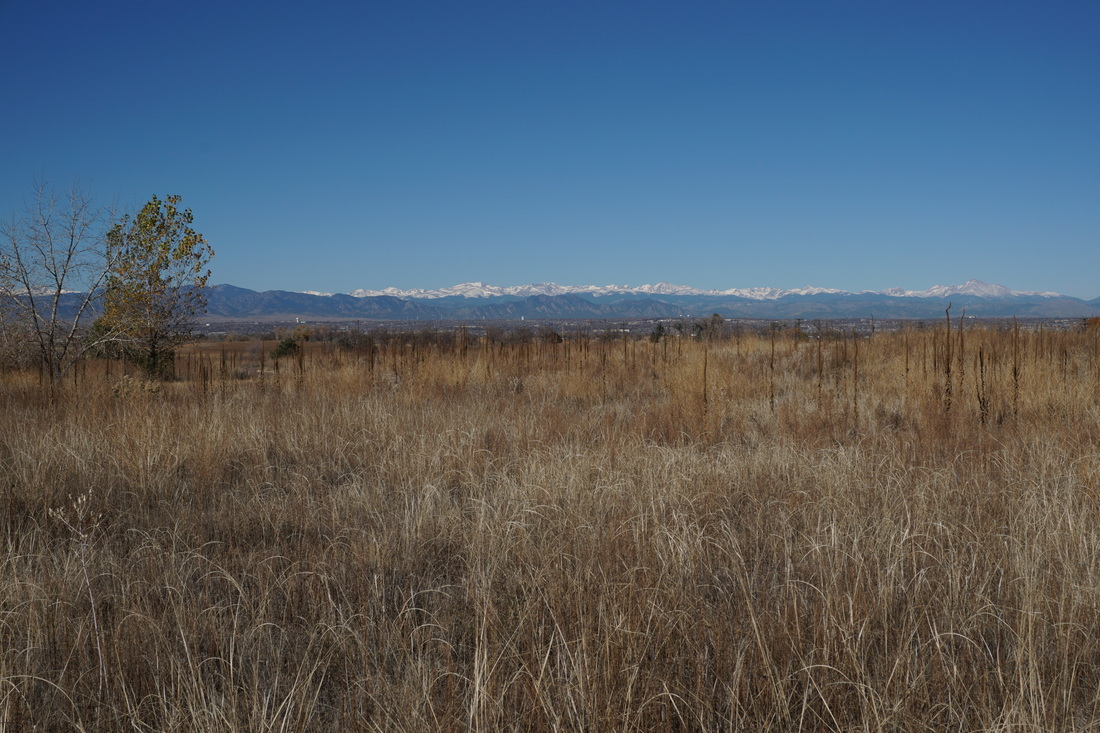
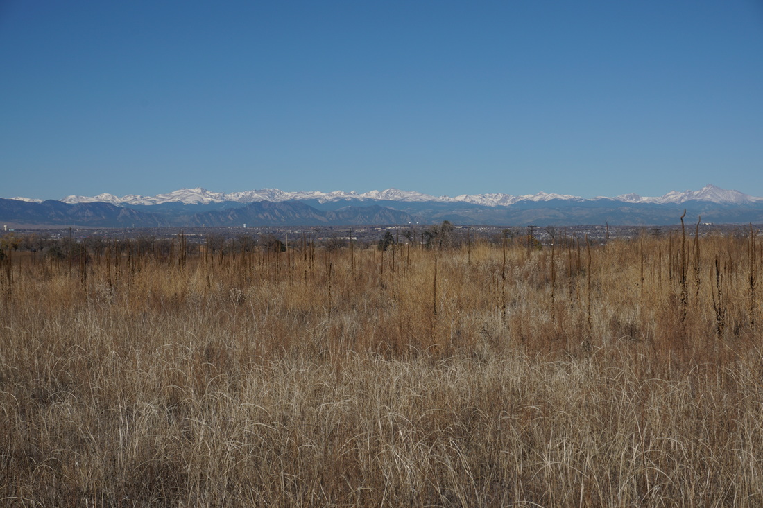
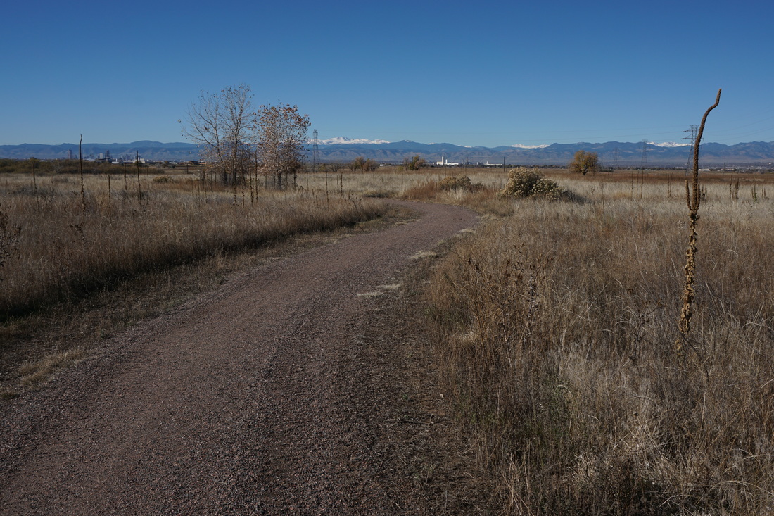
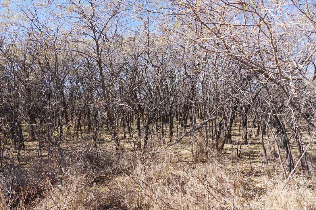
The Locust Loop Trail is north of the popular lakes area and provides an easy 1.5 mi walk along the prairie. The views of the Front Range mountains are wonderful while the landscape around the trail is something less. The highlights here are the old Farmhouse, the small but interesting Locust Tree forest, and the lack of other hikers on the trail.
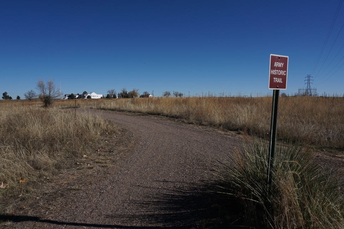
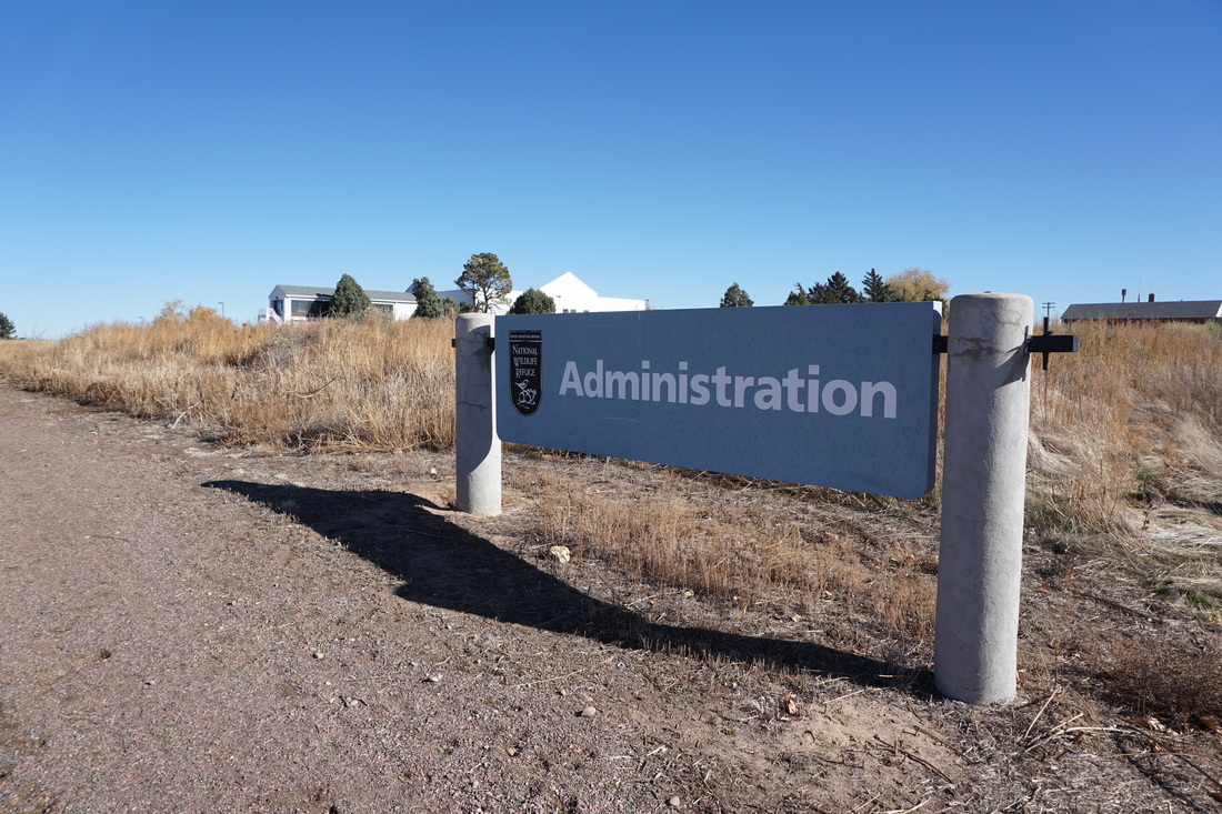
The Locust Loop trail hooks up with the Army Historic Trail which leads you to the Refuge's administration building. Aside from the name of the trail, the historic aspects are not well interpreted. This hike may not be the prettiest in the Refuge, but is is quiet, pleasant, and the views are worth the time. As always, keep your eyes out for wildlife both on the ground and in the air. |
|
- HOME
- ABOUT
-
HIKES BY REGION
-
NATIONAL PARK HIKES
- BENT'S OLD FORT NATIONAL HISTORIC SITE
- BLACK CANYON OF THE GUNNISON NATIONAL PARK
- COLORADO NATIONAL MONUMENT
- CURECANTI NATIONAL RECREATION AREA
- DINOSAUR NATIONAL MONUMENT
- FLORISSANT FOSSIL BEDS NATIONAL MONUMENT
- MESA VERDE NATIONAL PARK
- ROCKY MOUNTAIN NATIONAL PARK
- GREAT SAND DUNES NATIONAL PARK
- HOVENWEEP NATIONAL MONUMENT
- SAND CREEK MASSACRE NATIONAL HISTORIC SITE
- YUCCA HOUSE NATIONAL MONUMENT
- HIKES BY CATEGORY
- NEWS
- WEBCAMS
- $UPPORT GHC
- INTERACTIVE MAP
Locust Loop
Rocky Mountain Arsenal National Wildlife Refuge
Date Hiked: November 8, 2015
Distance: 1.4 mi (RT)
Elevation Gain: Negligible
Elevation: 5,200ft
Trailhead Lat/Long: 39º 49' 19" N; 104º 51' 48" W
Managing Agency: U.S. Fish and Wildlife Service
Fee: None