GO HIKE COLORADO
Get in Touch:
  • HOME
  • ABOUT
  • HIKES BY REGION
    • DENVER AREA >
      • Denver Mountain Parks
      • Jefferson County Open Space
      • Lakewood Parks
      • Denver Area Greenways
    • BOULDER AREA
    • DOUGLAS COUNTY
    • FORT COLLINS AREA
    • COLORADO SPRINGS AREA
    • FRONT RANGE
    • TENMILE & MOSQUITO RANGES
    • GORE RANGE
    • SANGRE DE CRISTO MOUNTAINS
    • PARK RANGE
    • SAWATCH RANGE
    • ELK MOUNTAINS
    • SAN JUAN MOUNTAINS
    • THE FLAT TOPS
    • GRAND MESA
    • COLORADO PLATEAU
    • EASTERN PLAINS
  • NATIONAL PARK HIKES
    • BENT'S OLD FORT NATIONAL HISTORIC SITE
    • BLACK CANYON OF THE GUNNISON NATIONAL PARK
    • COLORADO NATIONAL MONUMENT
    • CURECANTI NATIONAL RECREATION AREA
    • DINOSAUR NATIONAL MONUMENT
    • FLORISSANT FOSSIL BEDS NATIONAL MONUMENT
    • MESA VERDE NATIONAL PARK
    • ROCKY MOUNTAIN NATIONAL PARK
    • GREAT SAND DUNES NATIONAL PARK
    • HOVENWEEP NATIONAL MONUMENT
    • SAND CREEK MASSACRE NATIONAL HISTORIC SITE
    • YUCCA HOUSE NATIONAL MONUMENT
  • HIKES BY CATEGORY
    • HIKES TO ALPINE LAKES
    • HIKES TO PEAKS & PASSES
    • HIKES THROUGH CANYONS
    • HIKES WITH FALL COLORS
    • HIKES ALONG THE I-70 CORRIDOR
    • HIKES ON PAVED TRAILS
    • HIKES FOR KIDS
    • HIKES TO WATERFALLS
    • HIKES ALONG RIVERS
    • HIKES WITH ROCK FORMATIONS
    • HIKES WITH WILDFLOWERS
    • WINTER HIKES
  • NEWS
  • WEBCAMS
  • $UPPORT GHC
  • INTERACTIVE MAP

Raccoon Trail (Panorama Point)
Golden Gate Canyon State Park

Date Hiked: September 22, 2012

Distance: 4 mi (RT)
Elevation Gain: 1,338ft
Elevation Min/Max: 8,853 to 9,390ft
Managing Agency: CO Parks & Wildlife
Fee: Yes

Golden Gate Canyon SP Trail Map
Picture

Directions:  From Denver/Boulder take Hwy 93 to Golden Gate Canyon Road, just north of Golden.  Head west on Golden Gate Canyon Road for 9 miles to the park entrance.  Bear left at the fork staying on Golden Gate Canyon Road and turn right (there will be signs) onto Mountain Base Road.  Turn left onto Gap road and follow the signs to the campground.  The trailhead to located in the campground.  A fee is required to visit the park.

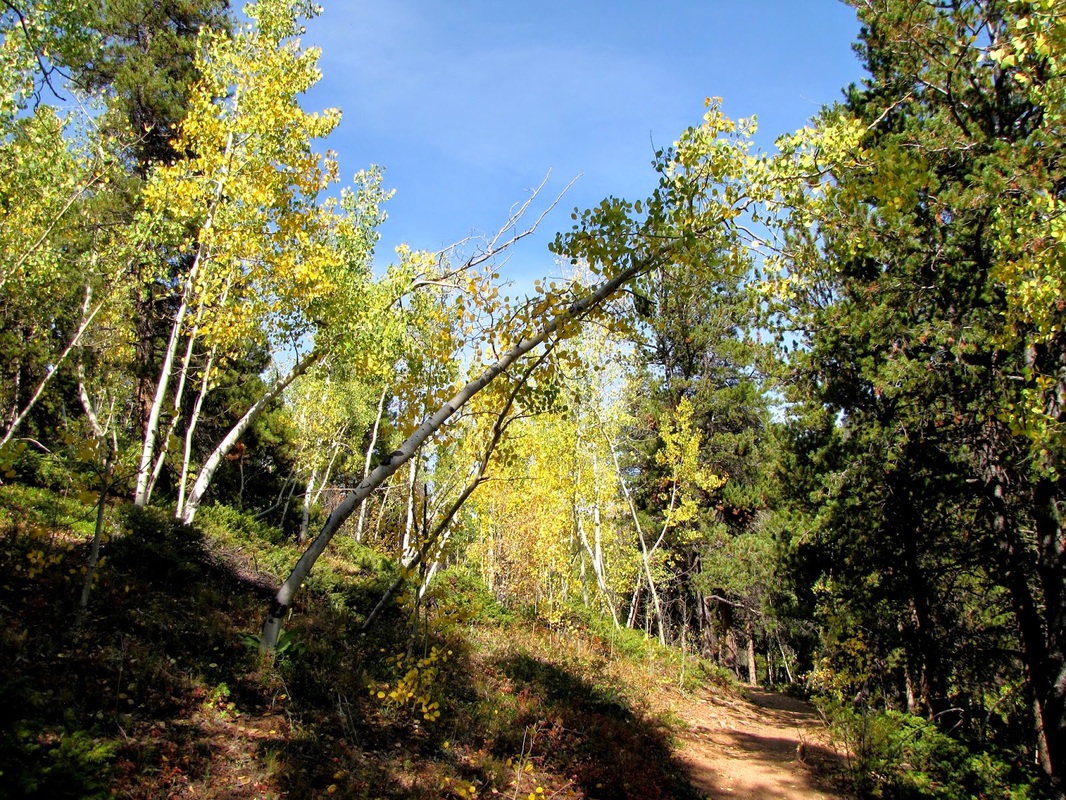
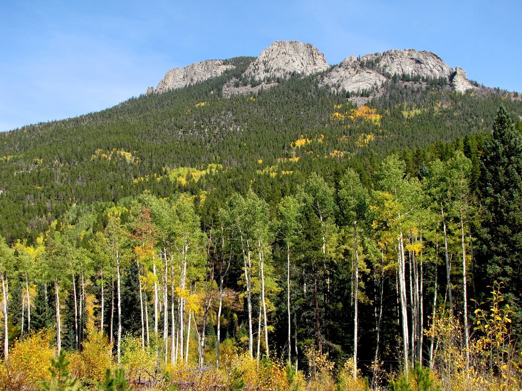
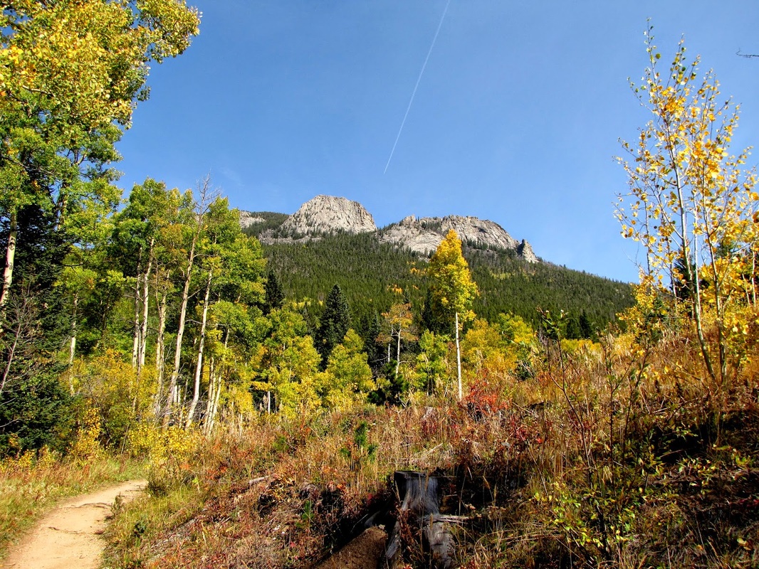
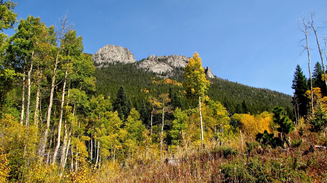
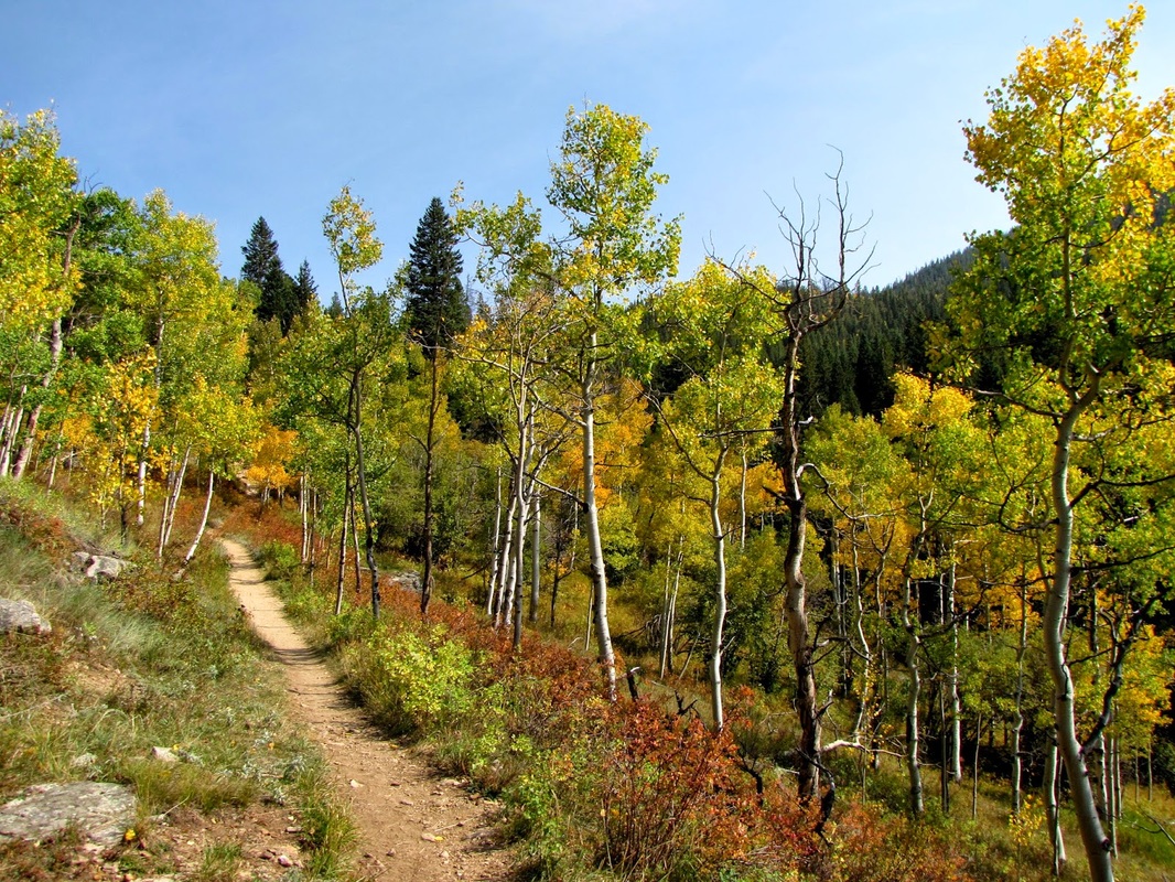
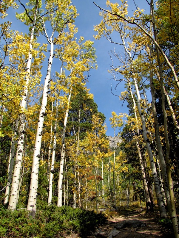
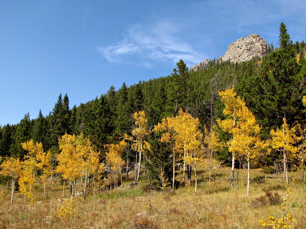
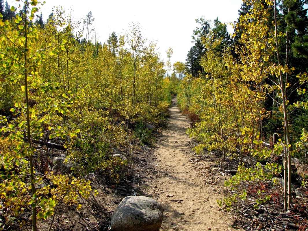
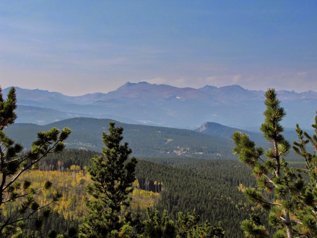
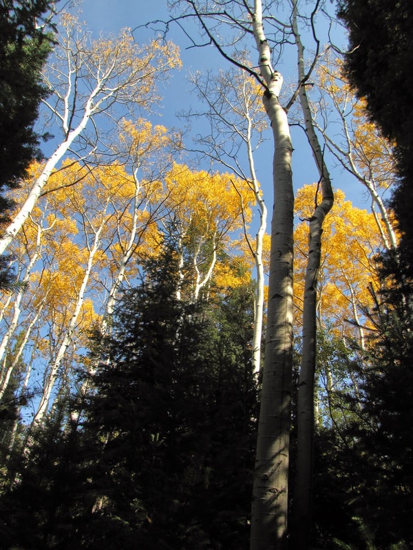
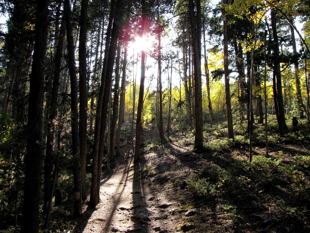
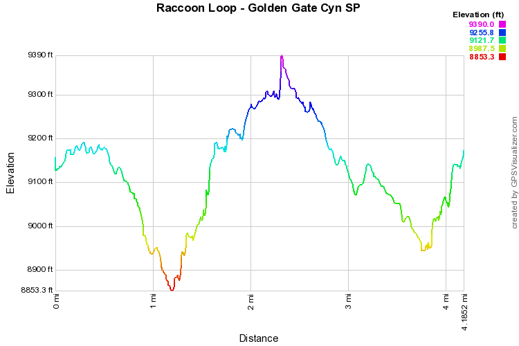
The Raccoon Loop is one of the quintessential GGCSP hikes, and at about 4 miles, it is also one of the shorter hikes.  This hike is amazing in the fall when the aspens are in there prime, but it is also beautiful in all other seasons.

The hike starts by descending a ridge until you reach an open meadow area and the start of the Raccoon Loop.  I suggest following the loop clockwise (turn left) as the big views will come at the end of the hike, instead of the beginning.  The trail is easy to follow and is mostly up hill from the meadow to Panorama Point.  Panorama Point is one of the park's main features.  It is a wood deck area (right of the road) with an amazing view of the Front Range.  You may witness a wedding while passing through.  Once you leave Panorama Point, the trail descends through evergreen forest, back to the meadow and up to the trailhead.

Although you can drive to Panorama Point, where's the fun in that?  The Raccoon Trail offers a wonder hike through beautiful country with a stellar view.  Way better than driving.
© Go Hike Colorado, 2020.  All Rights Reserved. 
Use of photographs without prior authorization is
​strictly prohibited.


Contact us at:
[email protected]
Legal Disclaimer - Information provided on this site is based upon our own observations, always double check information with the appropriate land management agency before heading into the backcountry.  Backcountry travel is inherently dangerous, please take all proper precautions.  Go Hike Colorado is not responsible for injury or incident.