|
|
|
Directions: To reach Pattridge Open Space from Denver, take I-70 W to Hwy 58 to Golden. Turn north onto Hwy 93 and turn right on W 82nd Ave. The parking area and trailhead are on the right.
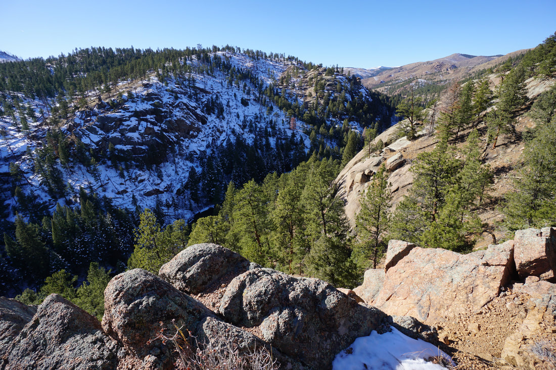
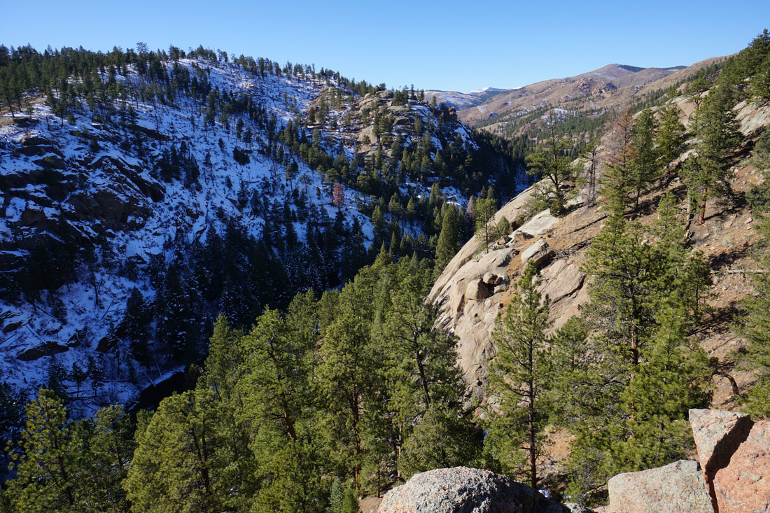
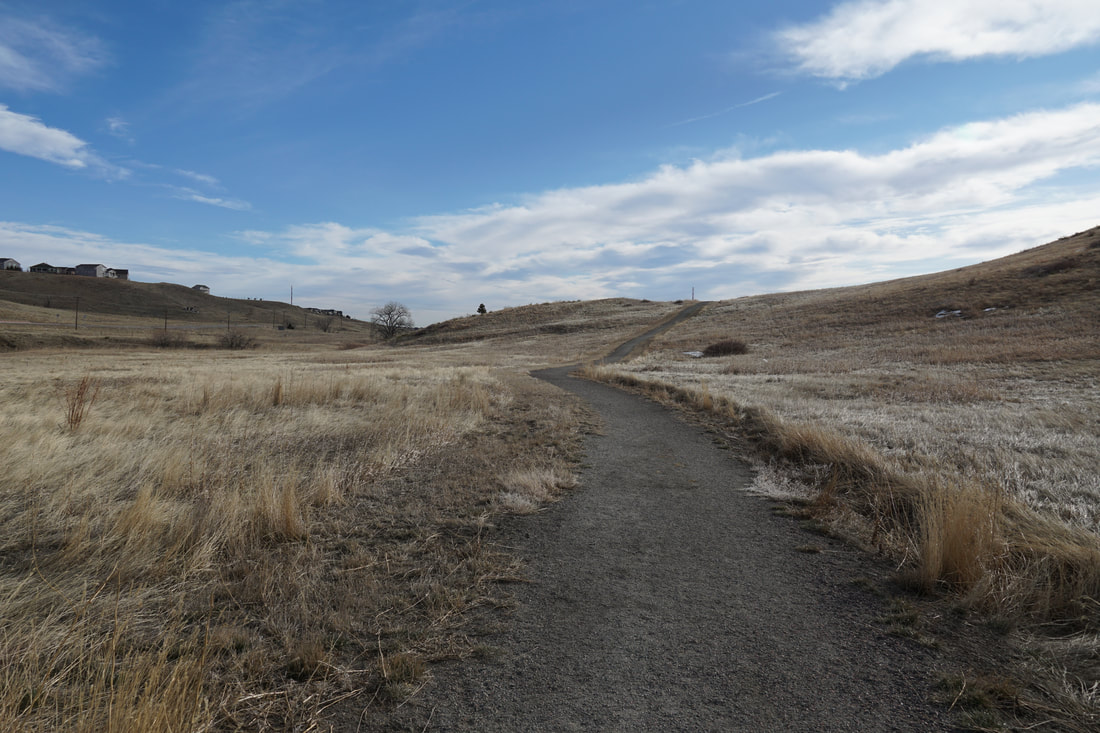
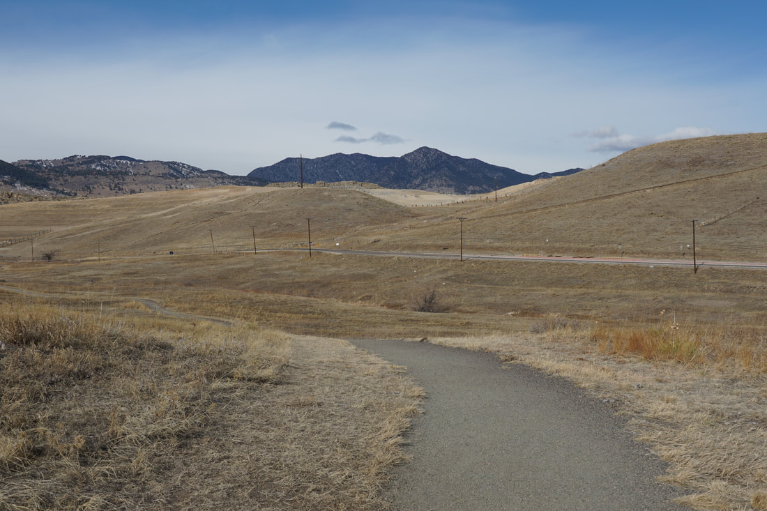
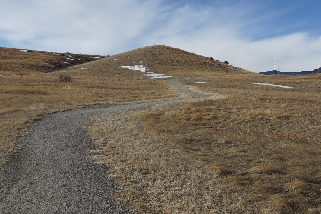
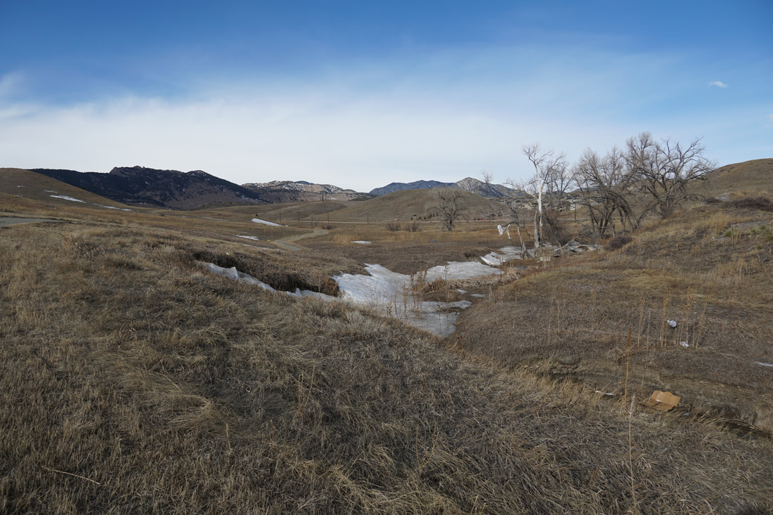
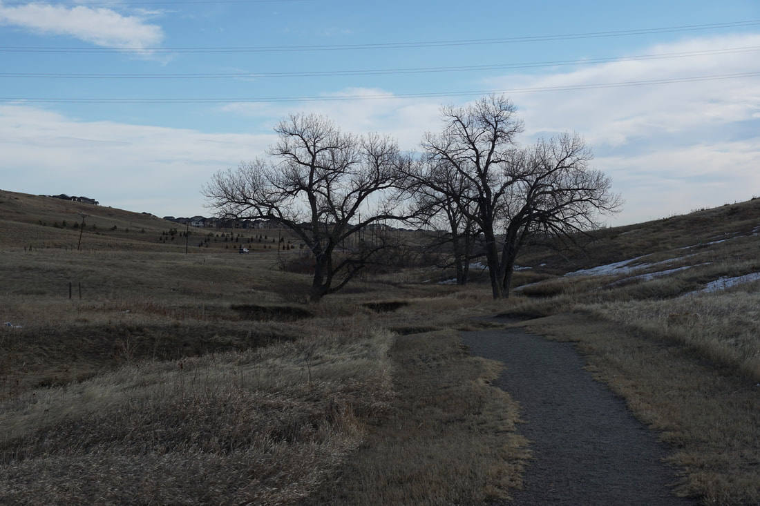
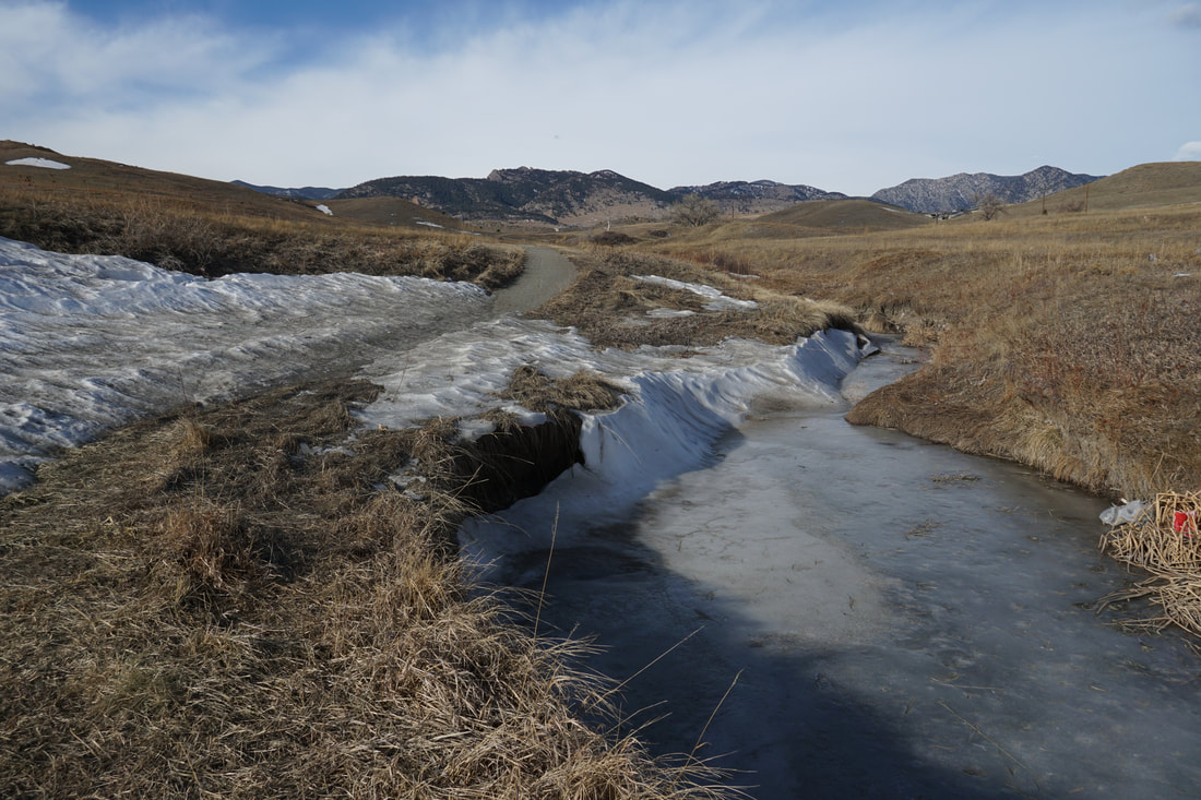
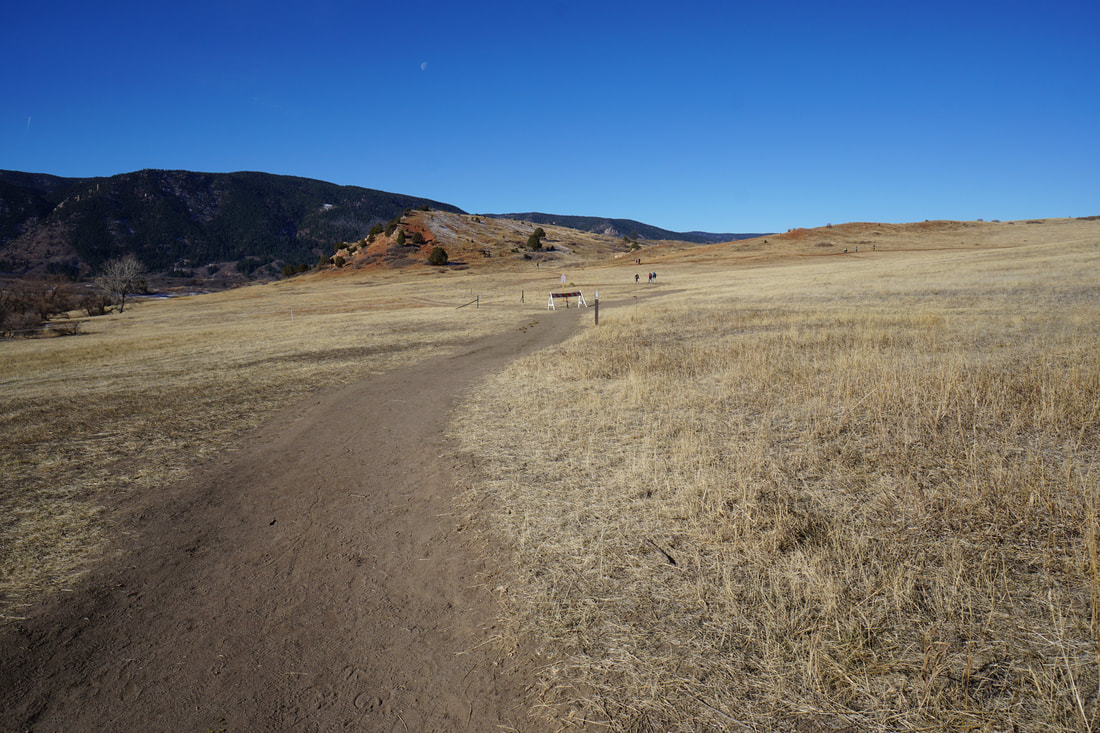
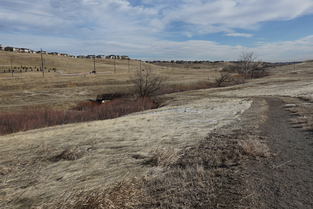
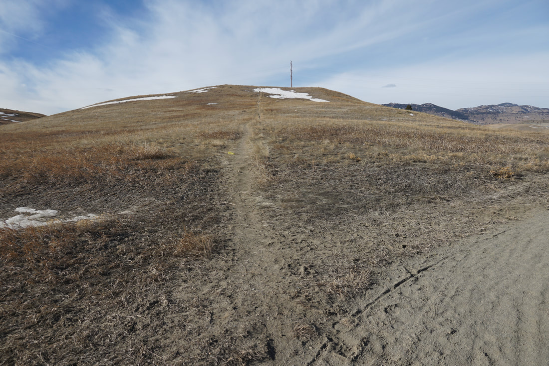
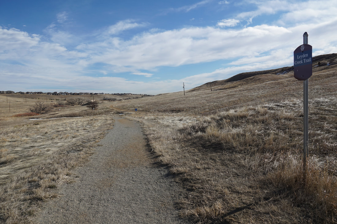
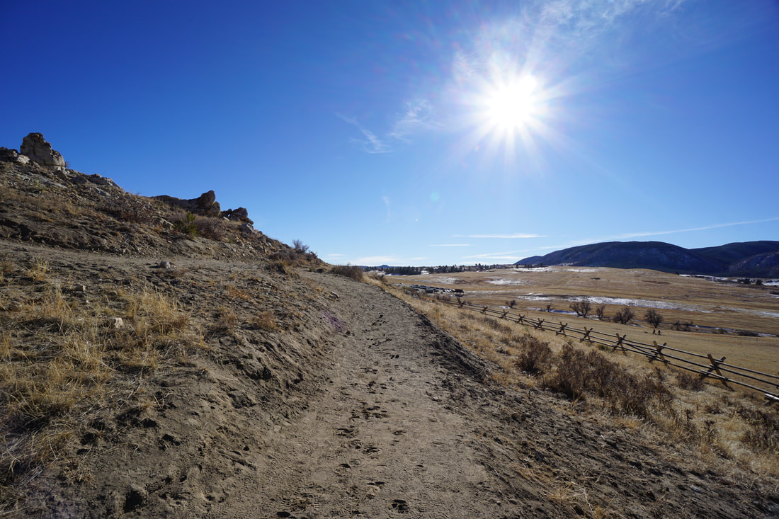
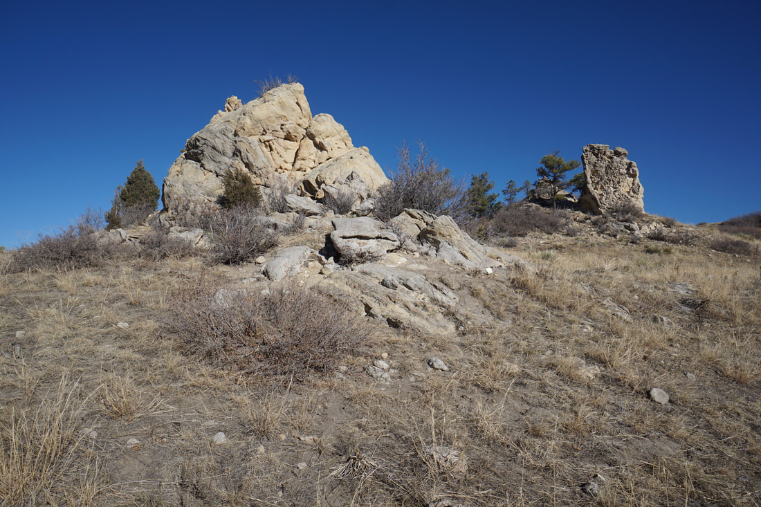
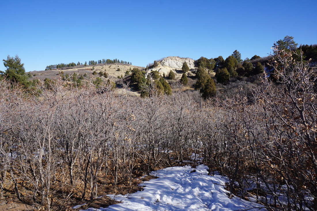
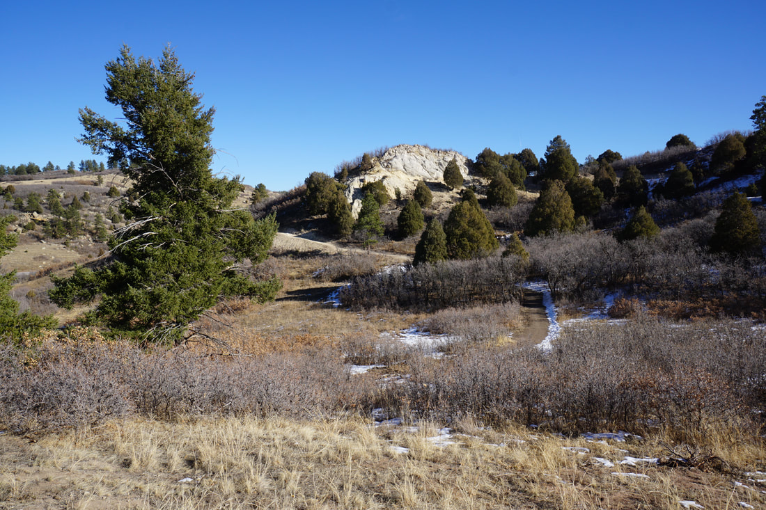
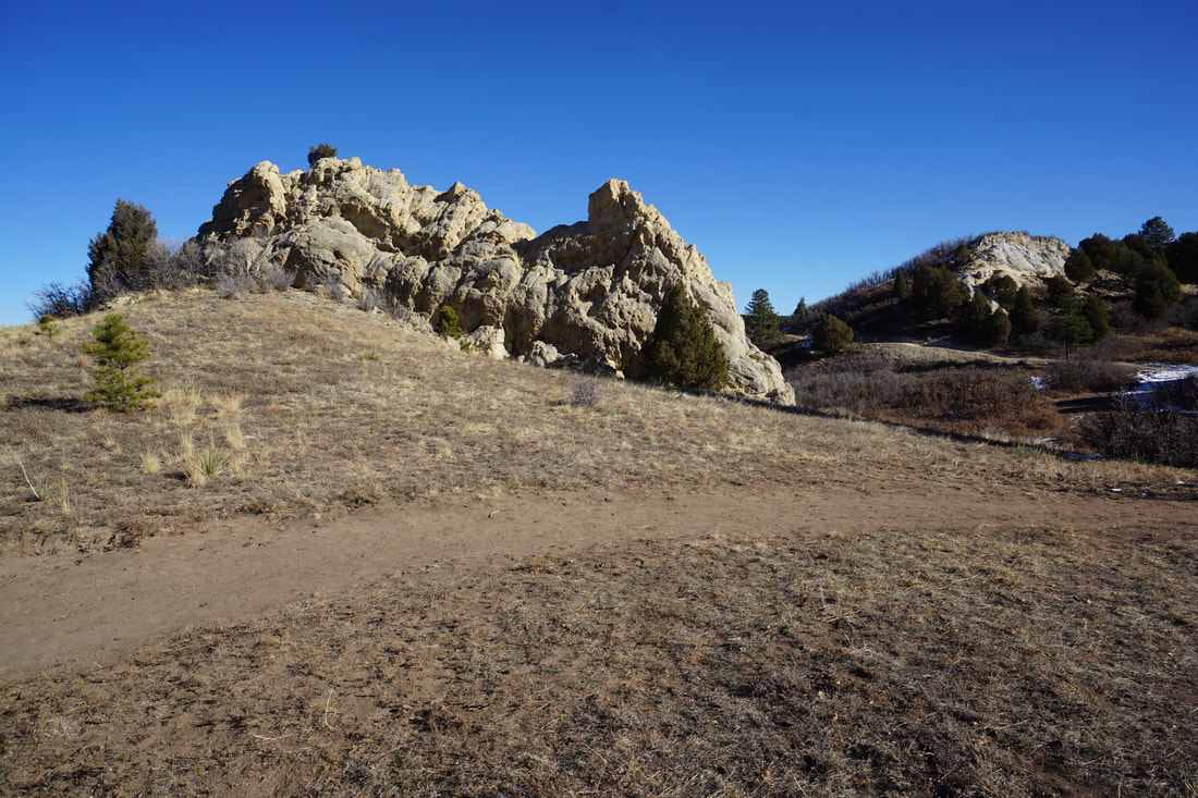
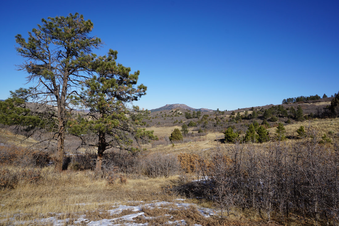
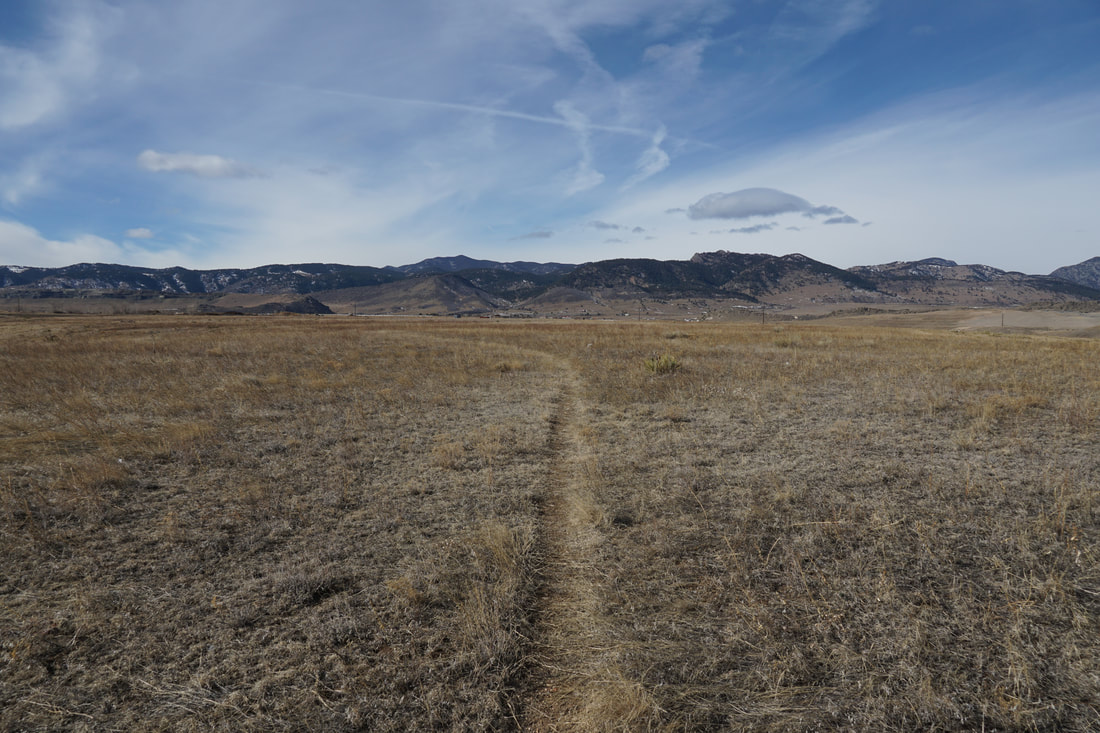
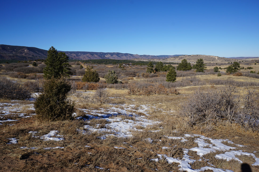
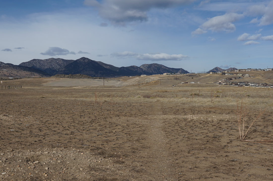
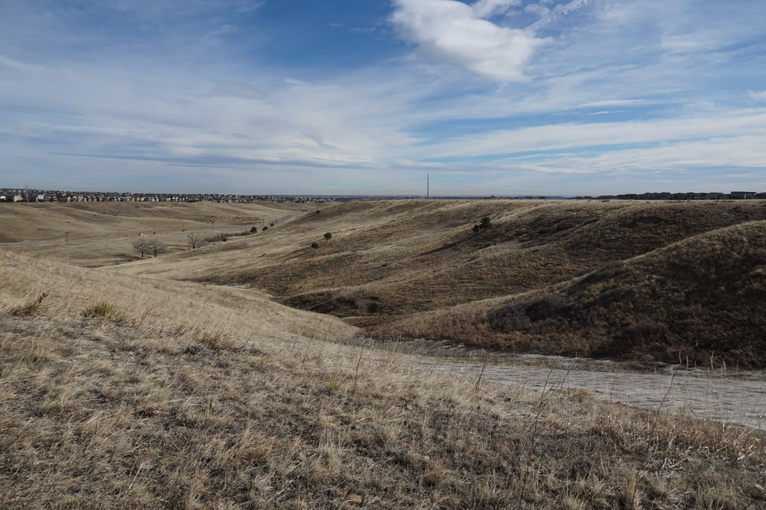
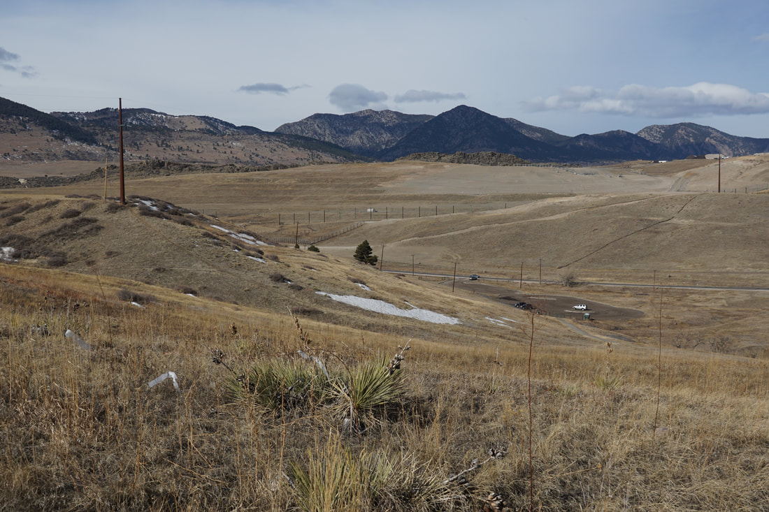
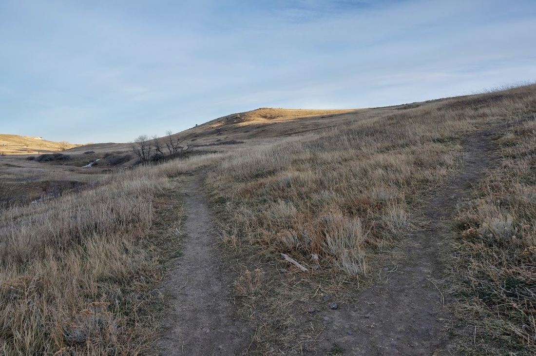
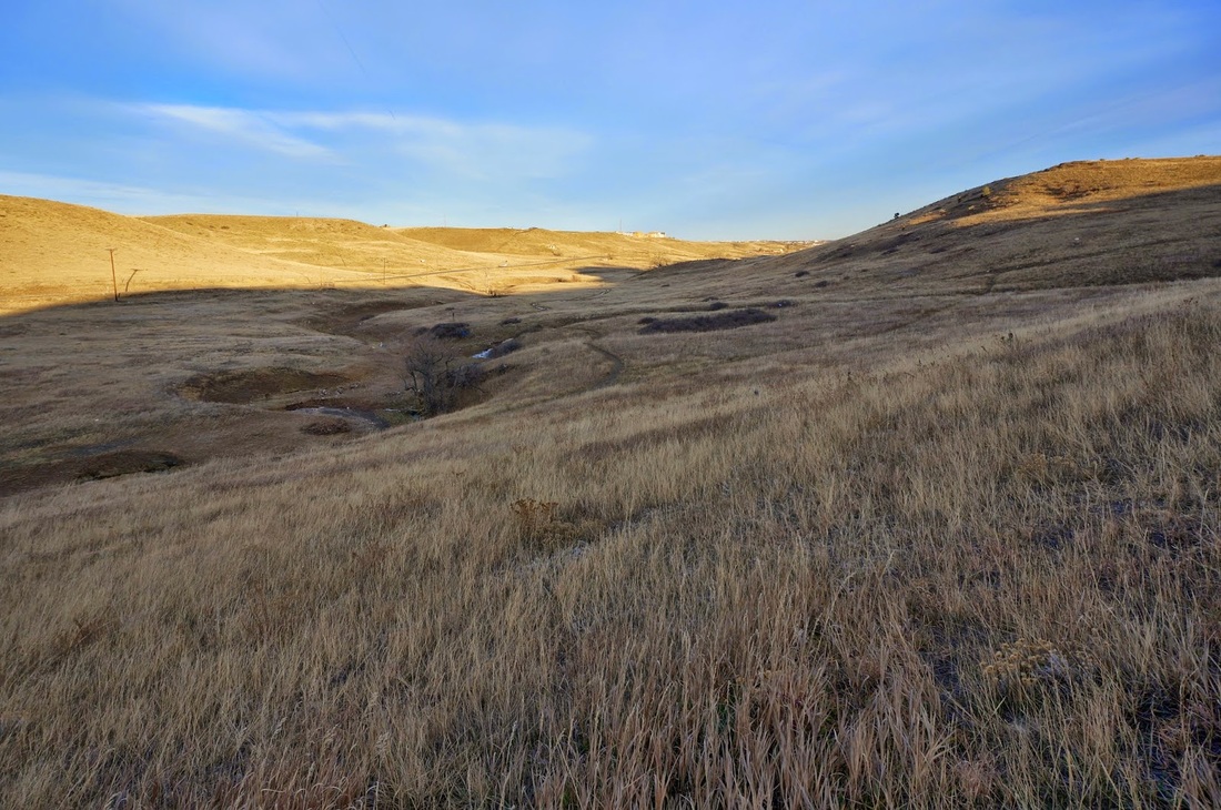
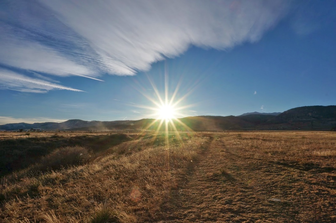
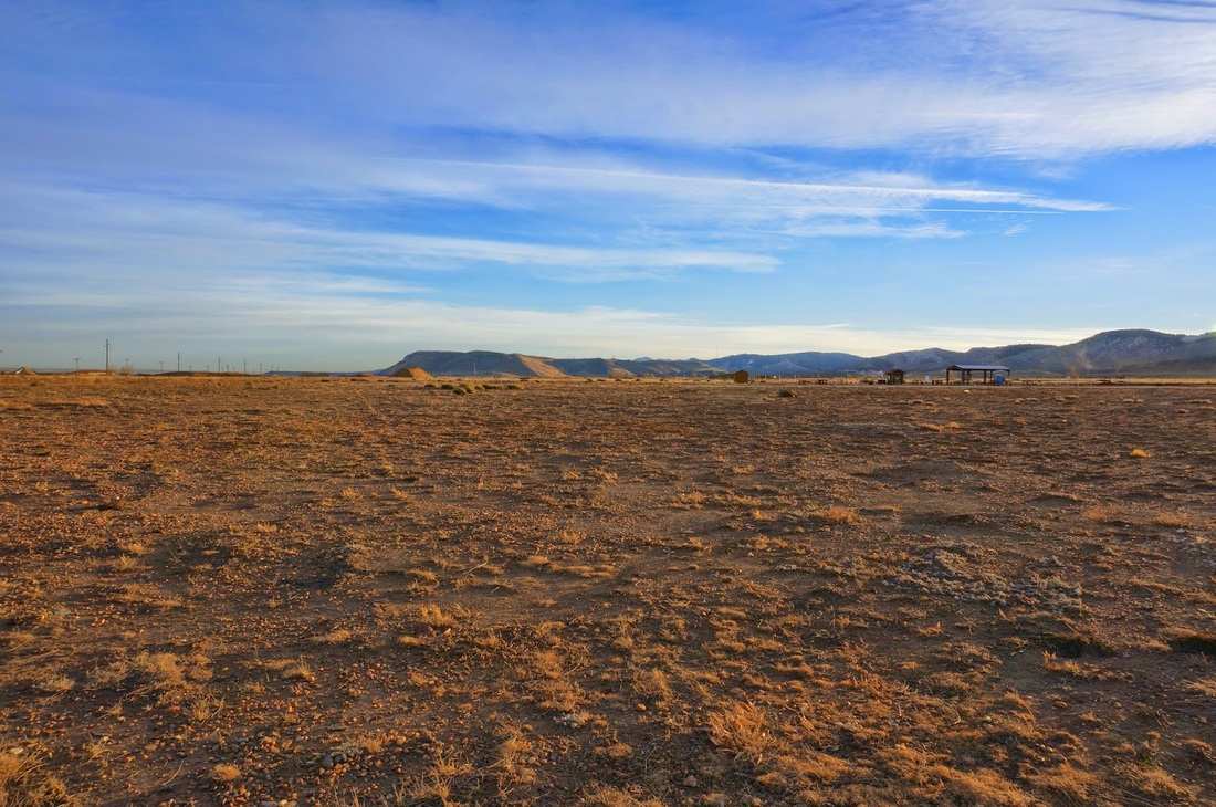
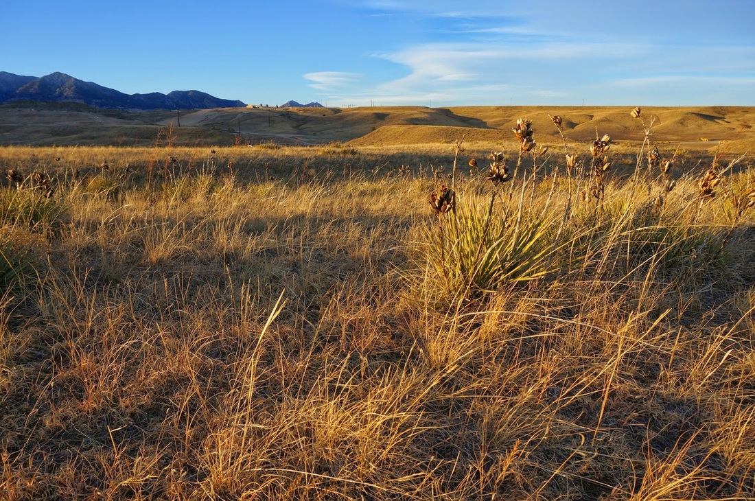
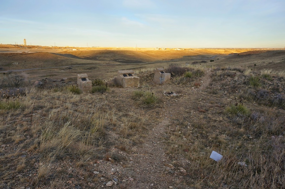
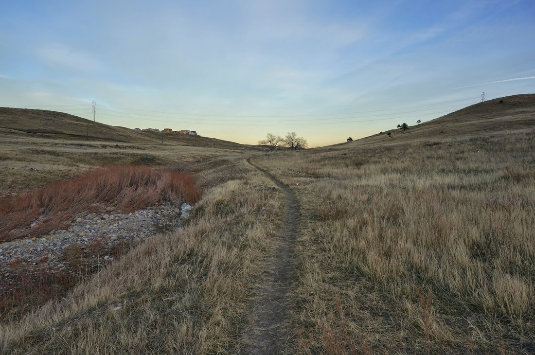
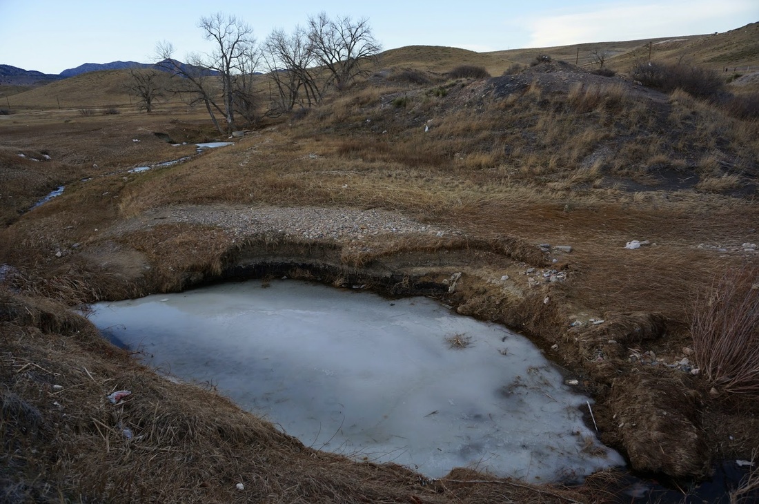
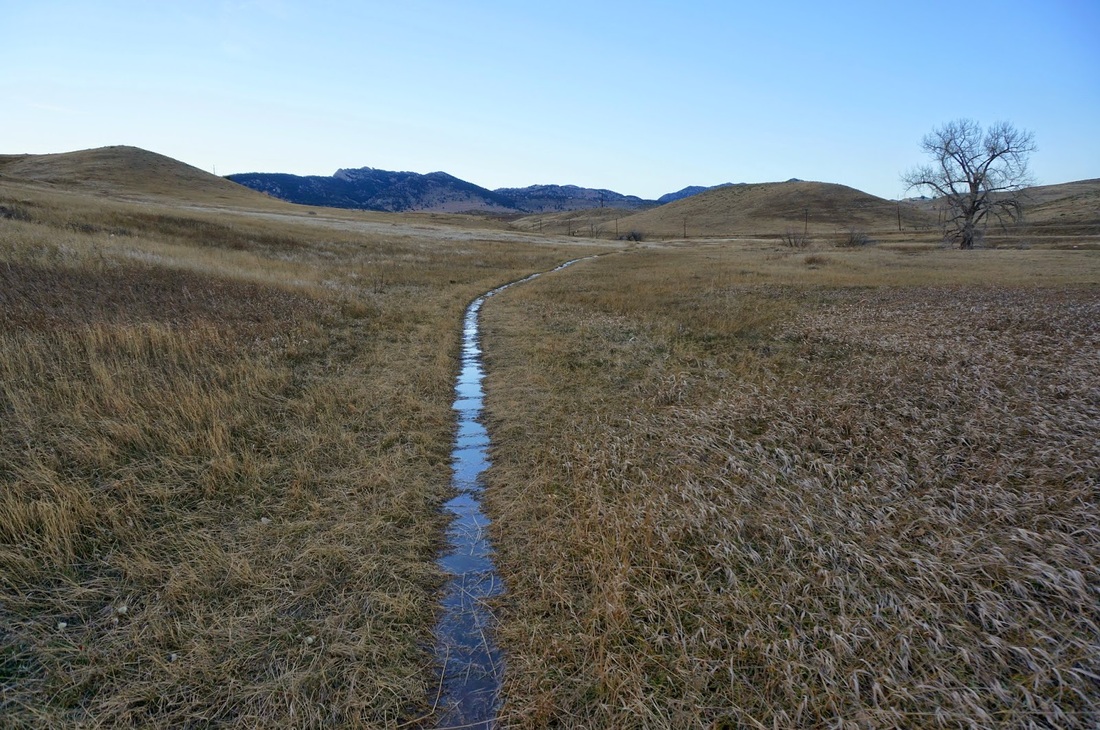
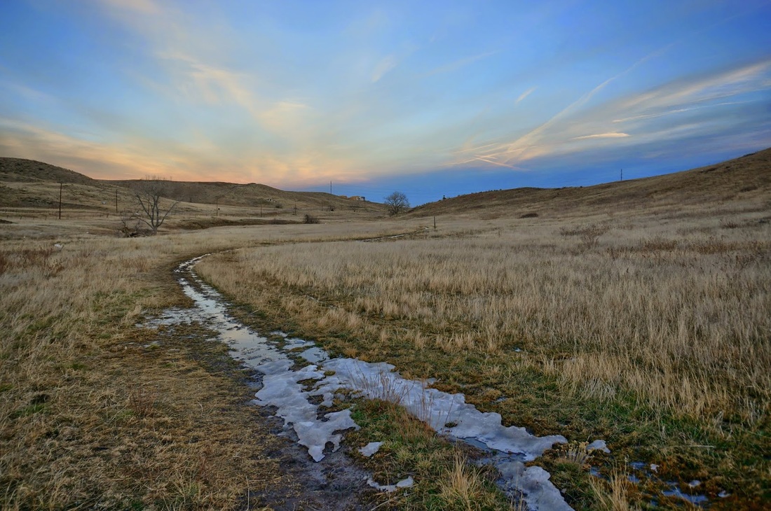
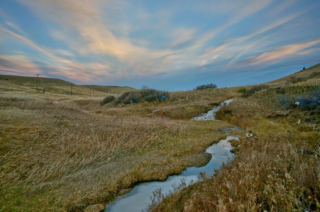
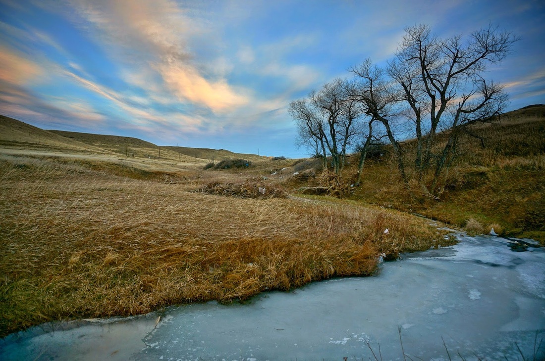
This open space park provides a pleasant enough trail for a weekday evening when you want a nice view of the foothills and a low key hike. In the past, there were various trails running through this area, but for restoration, most of the social trails have been closed resulting in a single loop trail. From the trailhead, you have two options, head east along the Leyden Creek Trail, or turn south and climb the short but steep trail up to the transmission line at the top of the hill. I recommend starting out by hiking east. The Leyden Creek Trail rolls along the hillside, following Leyden Creek. The trail is pleasant enough, although there is always a lot of trash along the way, something about the way the winds blow. Follow the trail for about 1 mile until you come to the signs for the City of Arvada and Leyden Creek Trail. At this point, you can continue the Leyden Creek Trail for another half mile or turn right (south) and climb a steep trail to the top of the hill. Once on top of the trail, there are 2 options, continue straight, or bear right, I suggest taking the trail that shoots off towards the rim of the hill. I took the trail that goes straight and before long the trail disappears. If you go this way, just head straight (through prairie dog villages) to the fence at the radio controlled airplane field. Follow the fence to the north and you'll find the trail. The trail then follows the fence to the west and heads to the electric transmission line tower before steeply descending back to the trailhead. This hike is not amazing, not a "must do" hike, but it is a nice alternative to the often busy trails closer to boulder and gives you a good perspective of the foothills in-between Golden and Boulder. |
December 18, 2013 |