GO HIKE COLORADO
Get in Touch:
  • HOME
  • ABOUT
  • HIKES BY REGION
    • DENVER AREA >
      • Denver Mountain Parks
      • Jefferson County Open Space
      • Lakewood Parks
      • Denver Area Greenways
    • BOULDER AREA
    • DOUGLAS COUNTY
    • FORT COLLINS AREA
    • COLORADO SPRINGS AREA
    • FRONT RANGE
    • TENMILE & MOSQUITO RANGES
    • GORE RANGE
    • SANGRE DE CRISTO MOUNTAINS
    • PARK RANGE
    • SAWATCH RANGE
    • ELK MOUNTAINS
    • SAN JUAN MOUNTAINS
    • THE FLAT TOPS
    • GRAND MESA
    • COLORADO PLATEAU
    • EASTERN PLAINS
  • NATIONAL PARK HIKES
    • BENT'S OLD FORT NATIONAL HISTORIC SITE
    • BLACK CANYON OF THE GUNNISON NATIONAL PARK
    • COLORADO NATIONAL MONUMENT
    • CURECANTI NATIONAL RECREATION AREA
    • DINOSAUR NATIONAL MONUMENT
    • FLORISSANT FOSSIL BEDS NATIONAL MONUMENT
    • MESA VERDE NATIONAL PARK
    • ROCKY MOUNTAIN NATIONAL PARK
    • GREAT SAND DUNES NATIONAL PARK
    • HOVENWEEP NATIONAL MONUMENT
    • SAND CREEK MASSACRE NATIONAL HISTORIC SITE
    • YUCCA HOUSE NATIONAL MONUMENT
  • HIKES BY CATEGORY
    • HIKES TO ALPINE LAKES
    • HIKES TO PEAKS & PASSES
    • HIKES THROUGH CANYONS
    • HIKES WITH FALL COLORS
    • HIKES ALONG THE I-70 CORRIDOR
    • HIKES ON PAVED TRAILS
    • HIKES FOR KIDS
    • HIKES TO WATERFALLS
    • HIKES ALONG RIVERS
    • HIKES WITH ROCK FORMATIONS
    • HIKES WITH WILDFLOWERS
    • WINTER HIKES
  • NEWS
  • WEBCAMS
  • $UPPORT GHC
  • INTERACTIVE MAP

Davis Ponds
Staunton State Park

Date Hiked: October 7, 2017

  • Distance: 2 mi (RT)
  • Elevation Gain: 400ft
  • Elevation Min/Max: 8,202 to 8,411ft
  • Trailhead Lat/Long: 39º 30' 00" N; 105º 22' 47" W
  • Managing Agency: Colorado Parks & Wildlife
  • Fee: Yes

Staunton State Park Trail Map
Picture

Directions:  From Denver, head south on Hey 285 to Schaffer's Crossing just before Pine Junction.  You'll see signs for Staunton State Park.  Exit the highway and head north on S. Elk Creek Road, the park will be on the right.  

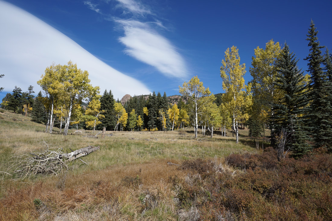
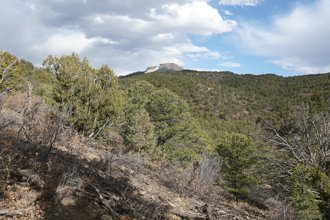
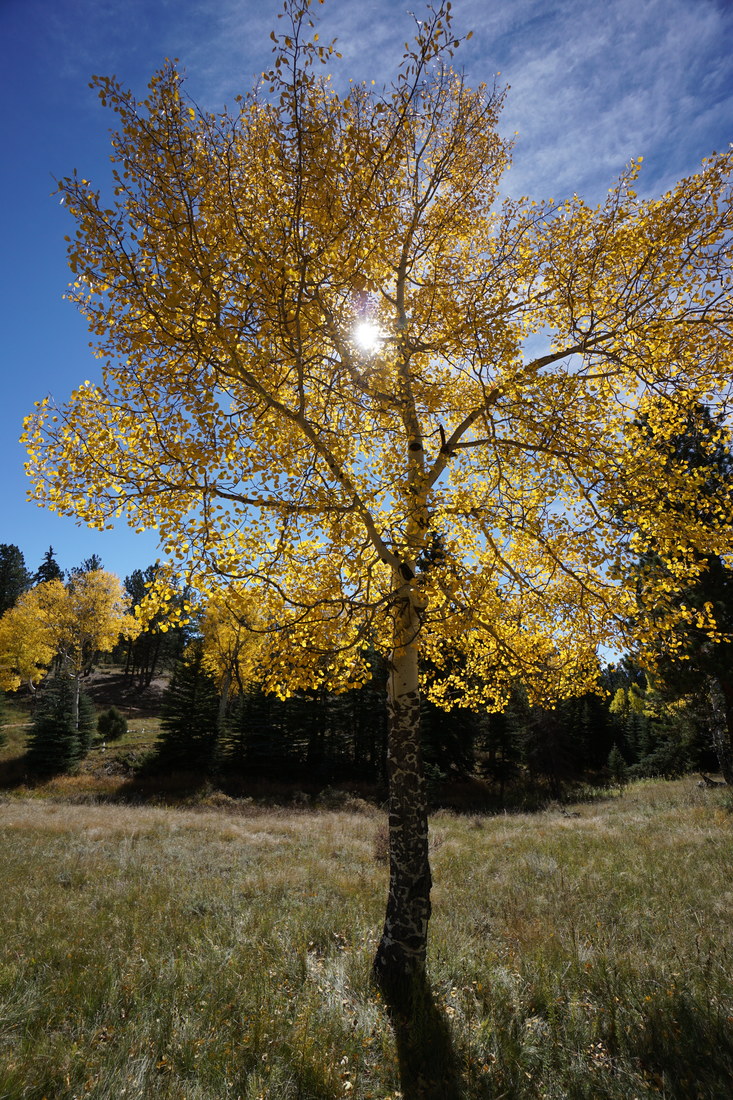
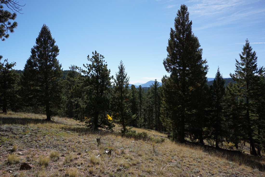
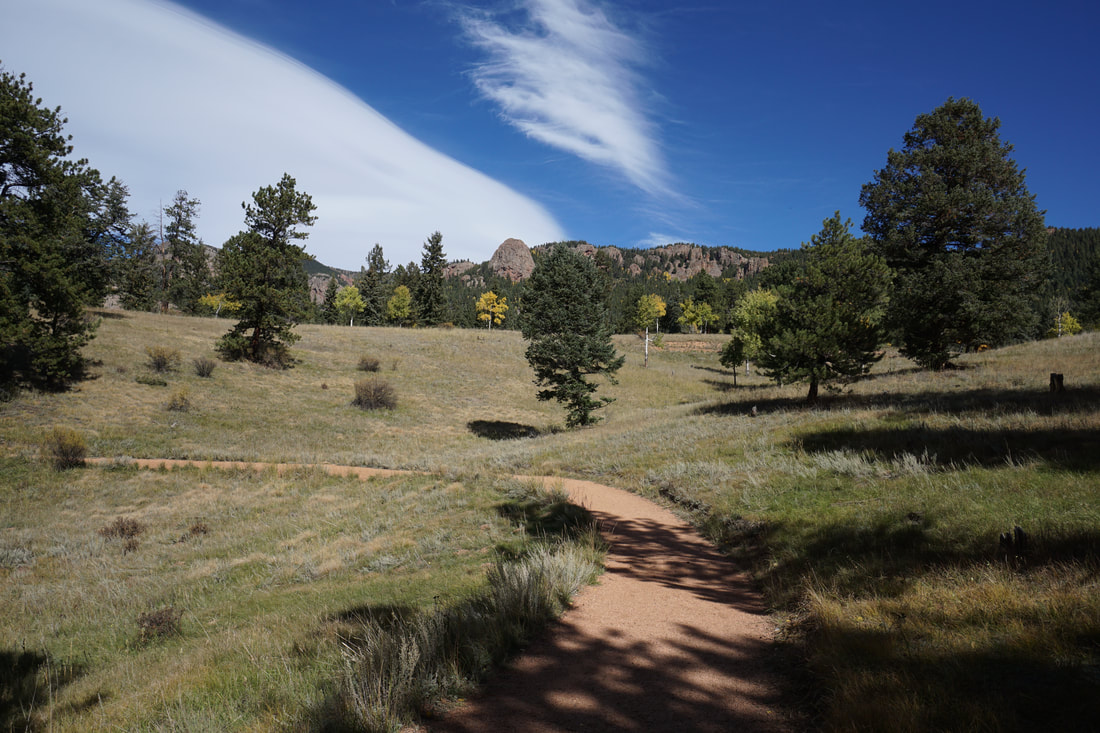
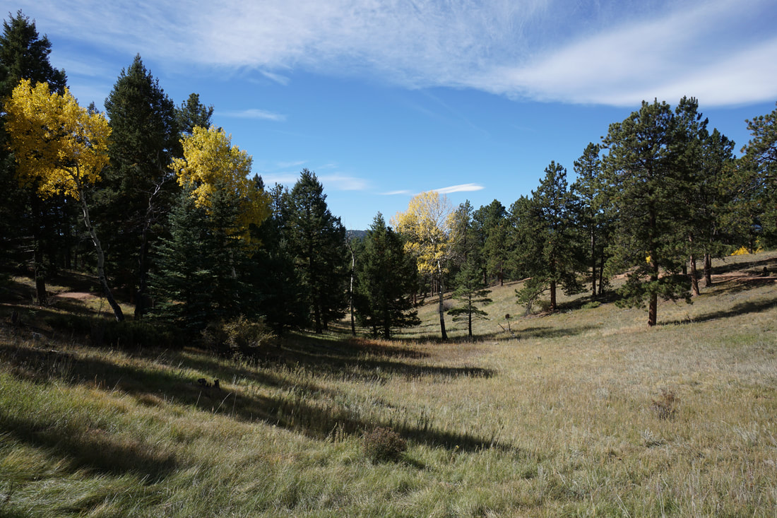
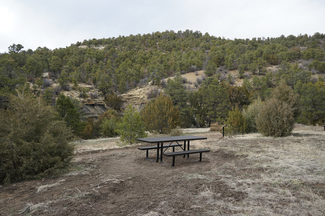
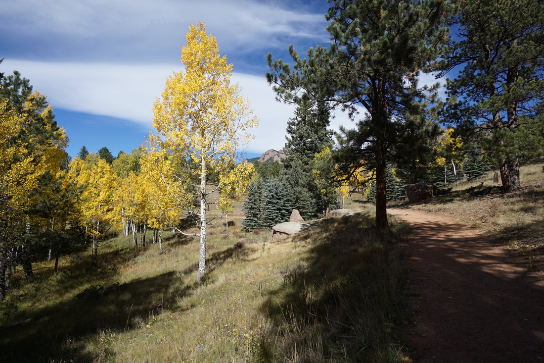
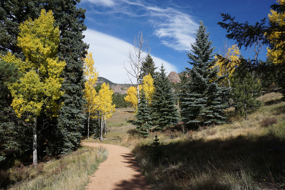
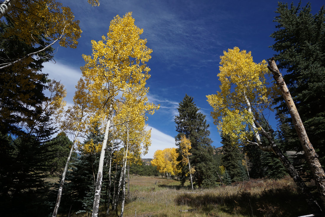
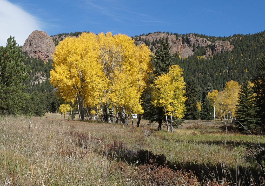
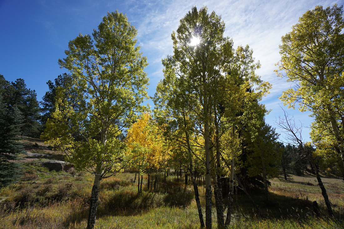
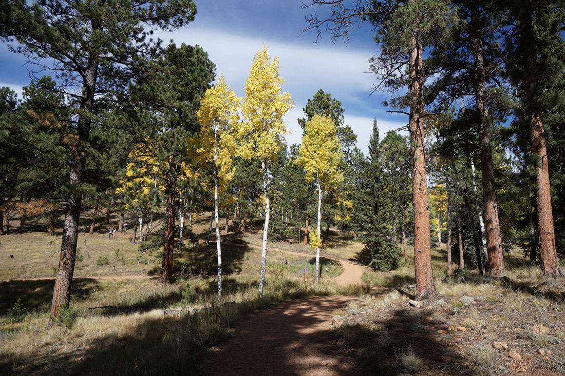
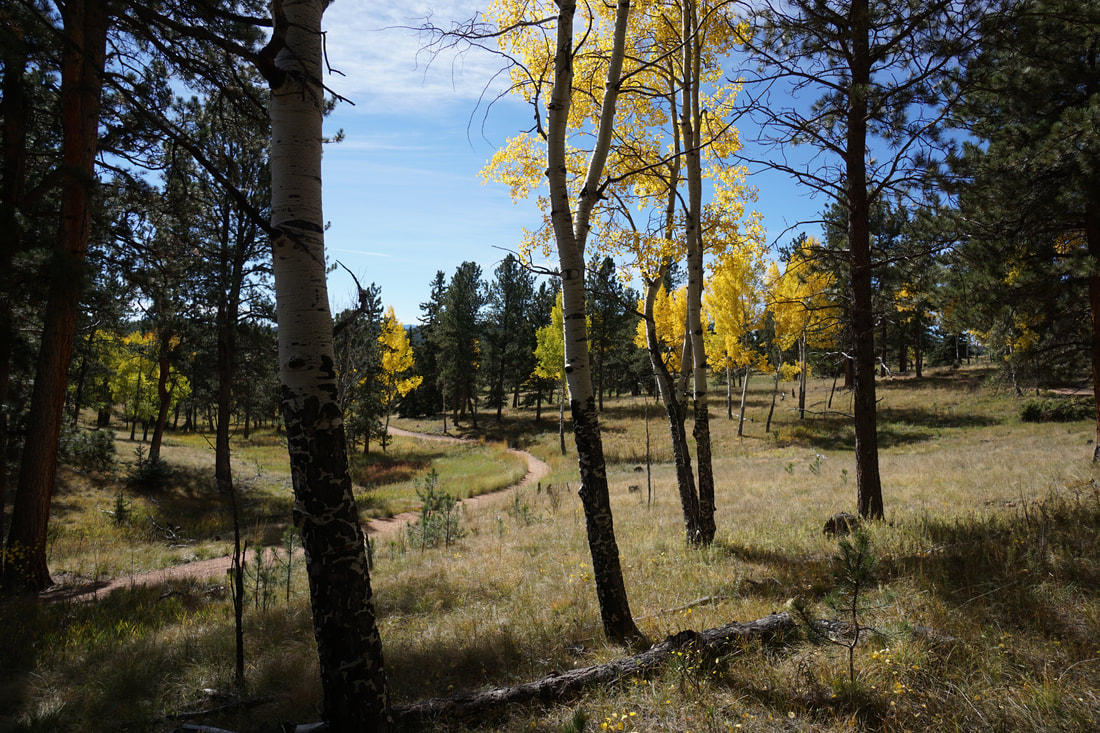
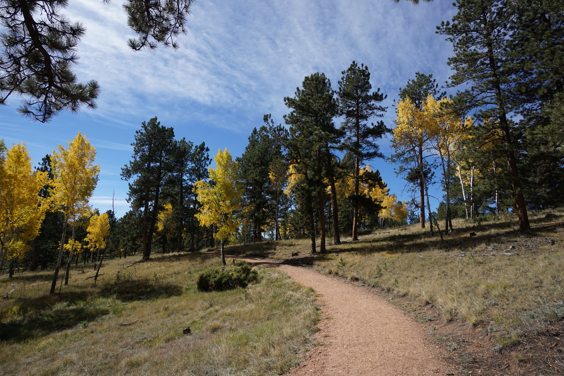
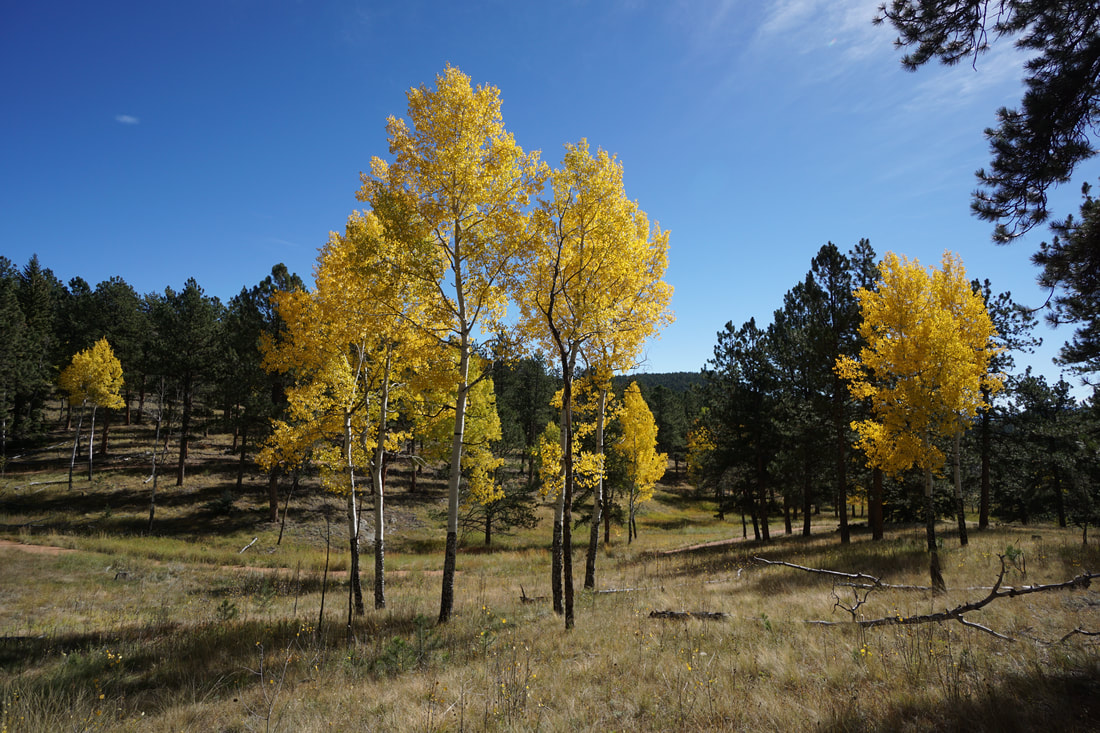
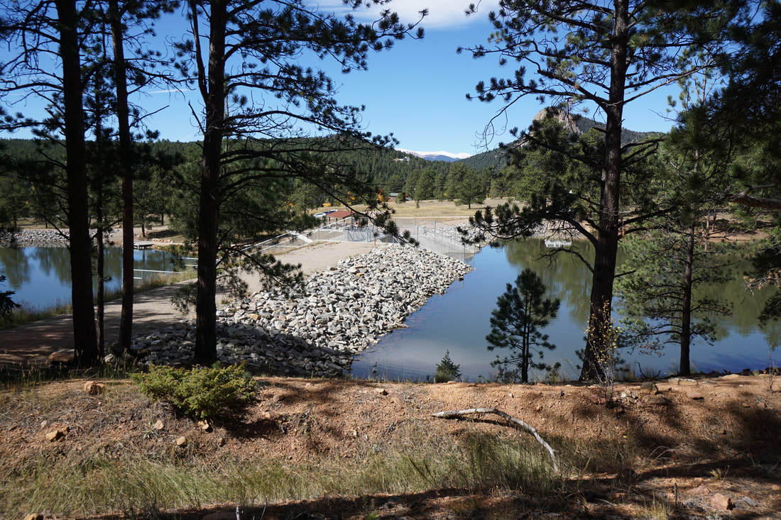
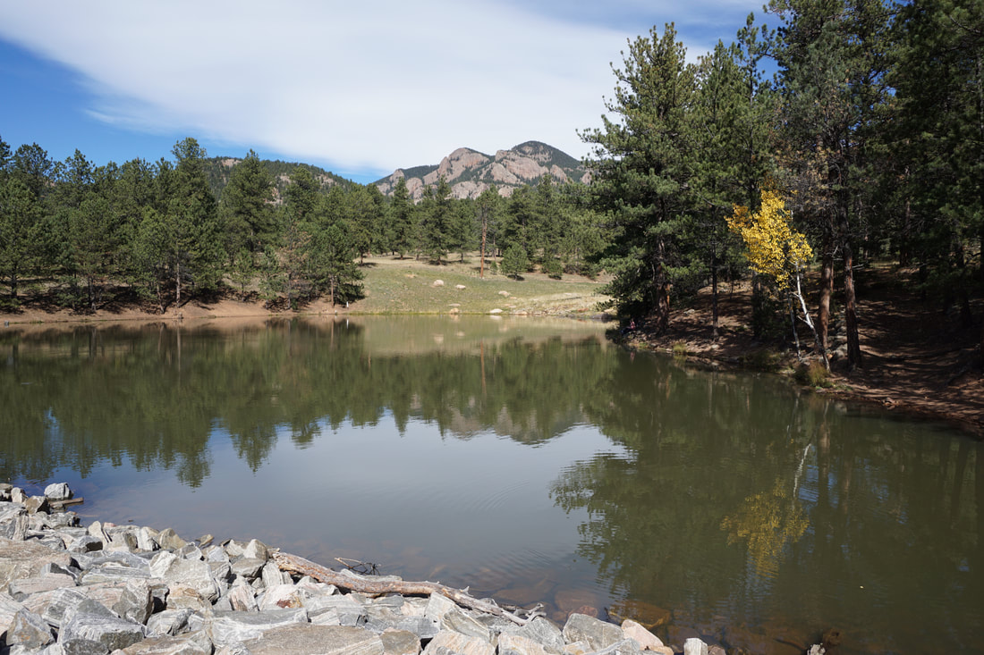
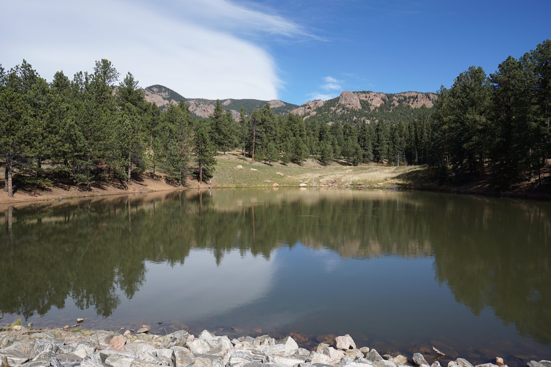
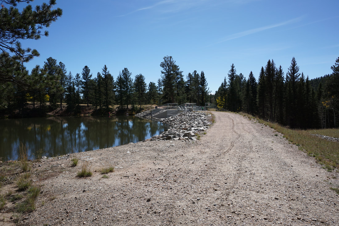
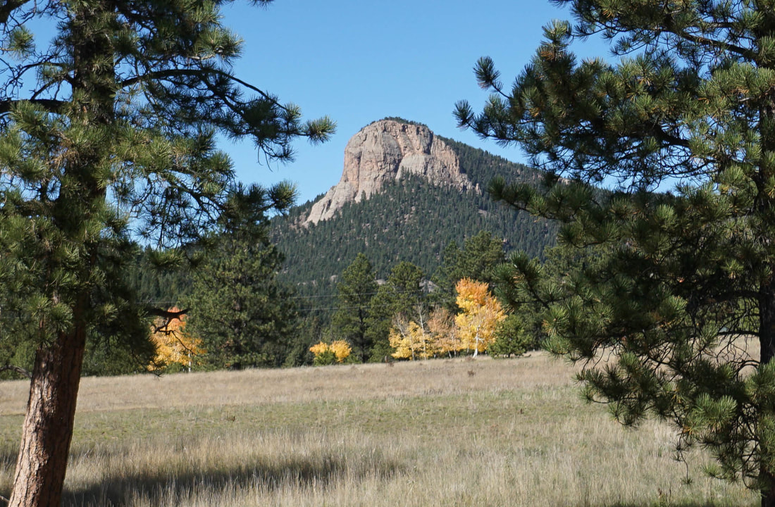
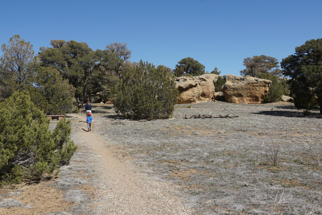
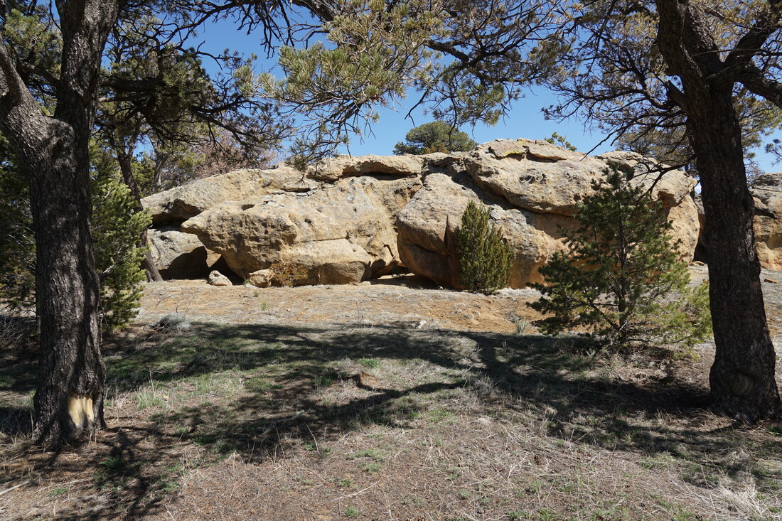
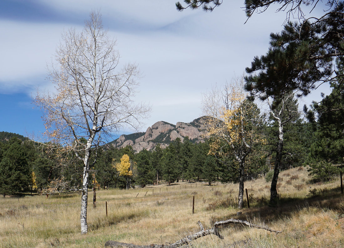
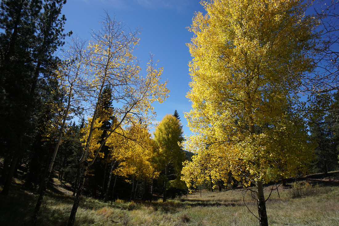
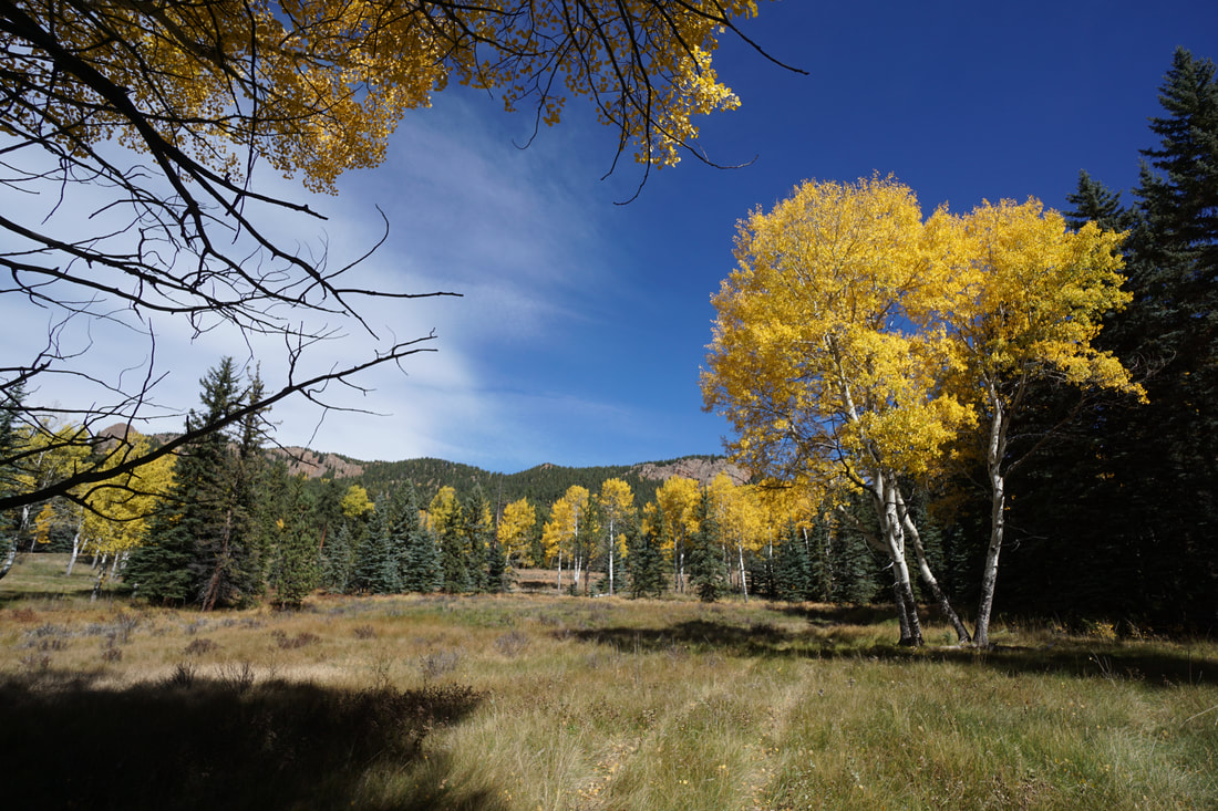
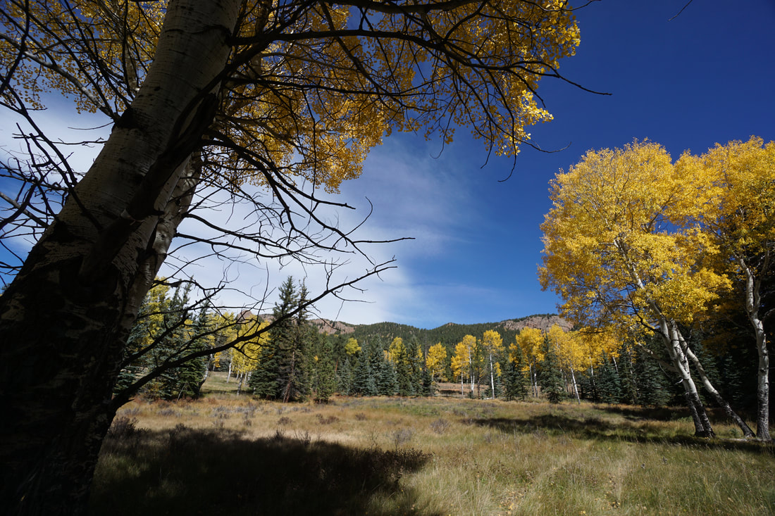
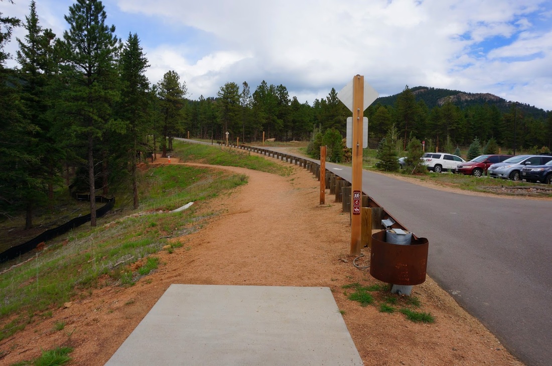
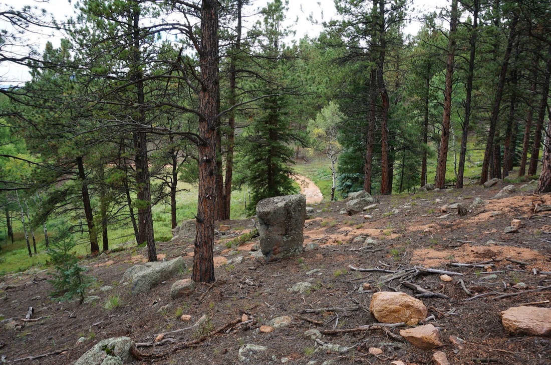
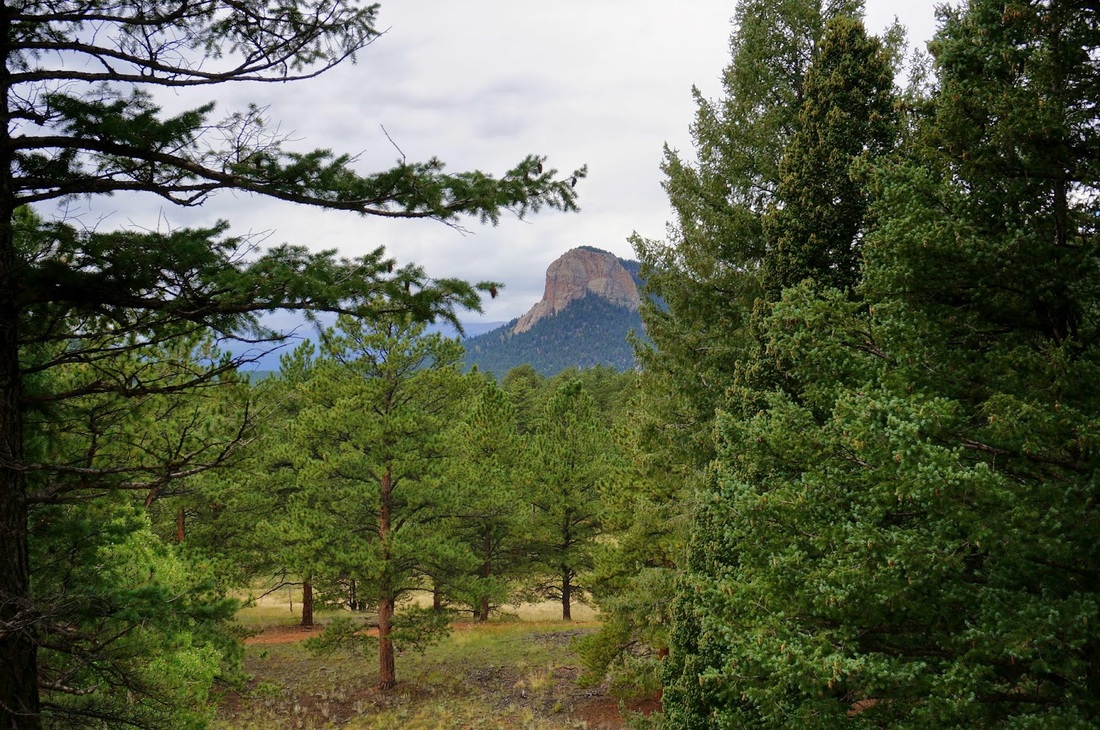
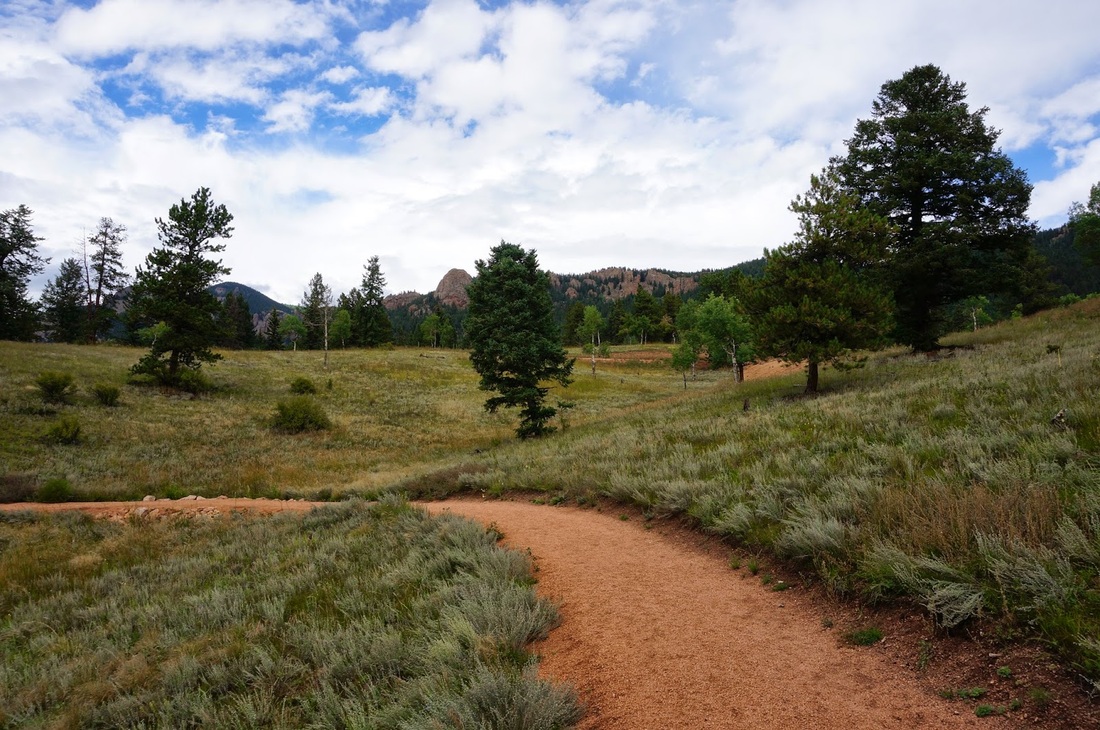
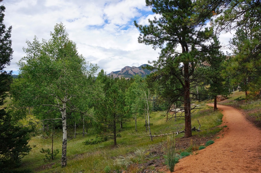
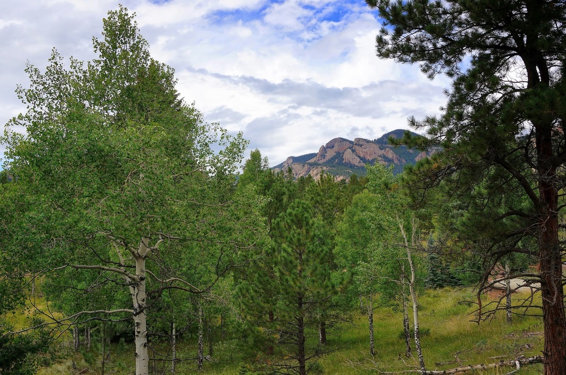
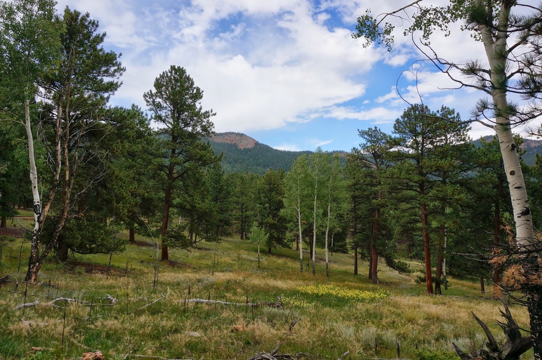
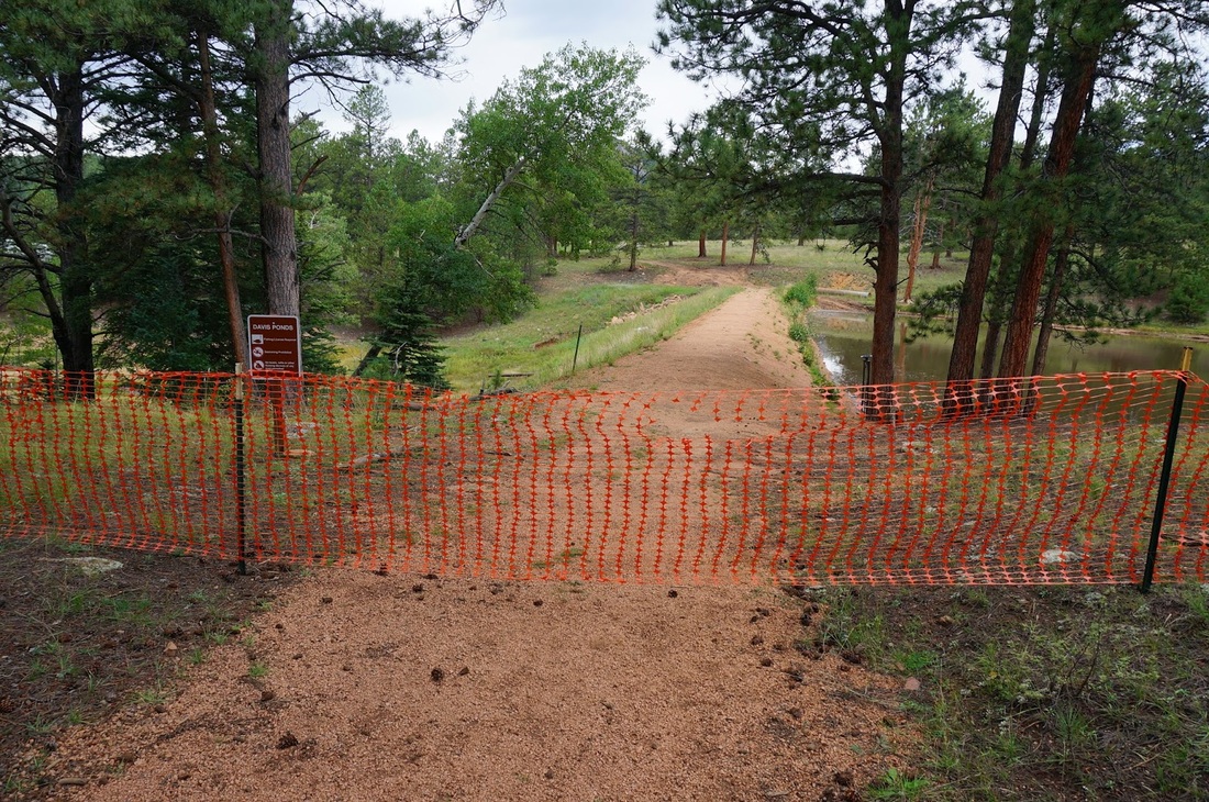
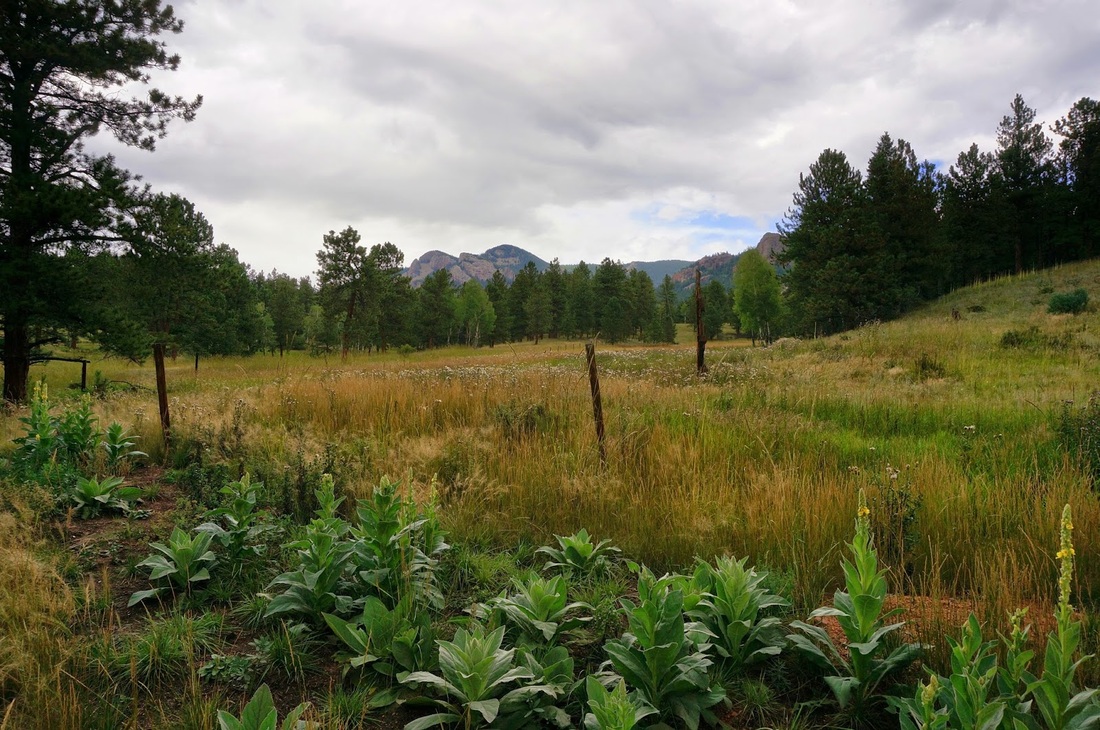
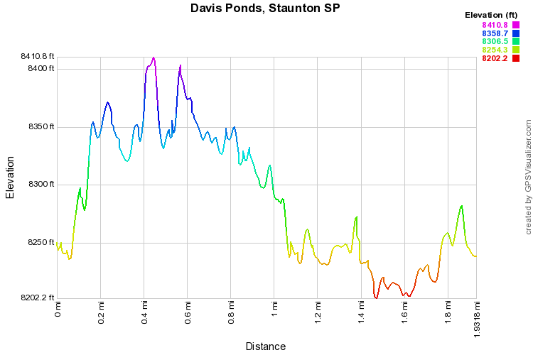
Staunton State Park is a beautiful area, and it is no more stunning then in the fall.  Most of the trails in the park are on the long side but if you want a good pleasant easy loop that is great for kids and adults, the the Davis Ponds loop is the hike for you.  If you visit the park in early October then you'll be in for a treat as the numerous aspen groves should be in full display.  The park tends to get very busy on the peak autumn weekends but the rangers do a great job directing traffic and the park is so large that the trails seldom feel crowded. 

For the Davis Ponds Loop you can park at either the main lot or the upper lot.  The trail cuts through rolling meadows and through sparse pine forest for the majority of the hike.  Mixed in with the pine forests are wonderful aspen groves.  There are also plenty of nice views of the surrounding terrain including Black Mountain and the iconic Lion's Head that looks like it belongs in Yosemite National Park.

After about 1 mile of hiking you'll reach Davis Ponds.  The Ponds are pleasant enough but best suited for fishing. A dam splits the ponds in two and the trail goes almost all the way around the lakes.  There are also picnic benches and bathrooms on the far side of the ponds.  On your way back, take the opposite route to finish off your hike.  

October 7, 2017

September 14, 2013

© Go Hike Colorado, 2020.  All Rights Reserved. 
Use of photographs without prior authorization is
​strictly prohibited.


Contact us at:
[email protected]
Legal Disclaimer - Information provided on this site is based upon our own observations, always double check information with the appropriate land management agency before heading into the backcountry.  Backcountry travel is inherently dangerous, please take all proper precautions.  Go Hike Colorado is not responsible for injury or incident.