GO HIKE COLORADO
Get in Touch:
  • HOME
  • ABOUT
  • HIKES BY REGION
    • DENVER AREA >
      • Denver Mountain Parks
      • Jefferson County Open Space
      • Lakewood Parks
      • Denver Area Greenways
    • BOULDER AREA
    • DOUGLAS COUNTY
    • FORT COLLINS AREA
    • COLORADO SPRINGS AREA
    • FRONT RANGE
    • TENMILE & MOSQUITO RANGES
    • GORE RANGE
    • SANGRE DE CRISTO MOUNTAINS
    • PARK RANGE
    • SAWATCH RANGE
    • ELK MOUNTAINS
    • SAN JUAN MOUNTAINS
    • THE FLAT TOPS
    • GRAND MESA
    • COLORADO PLATEAU
    • EASTERN PLAINS
  • NATIONAL PARK HIKES
    • BENT'S OLD FORT NATIONAL HISTORIC SITE
    • BLACK CANYON OF THE GUNNISON NATIONAL PARK
    • COLORADO NATIONAL MONUMENT
    • CURECANTI NATIONAL RECREATION AREA
    • DINOSAUR NATIONAL MONUMENT
    • FLORISSANT FOSSIL BEDS NATIONAL MONUMENT
    • MESA VERDE NATIONAL PARK
    • ROCKY MOUNTAIN NATIONAL PARK
    • GREAT SAND DUNES NATIONAL PARK
    • HOVENWEEP NATIONAL MONUMENT
    • SAND CREEK MASSACRE NATIONAL HISTORIC SITE
    • YUCCA HOUSE NATIONAL MONUMENT
  • HIKES BY CATEGORY
    • HIKES TO ALPINE LAKES
    • HIKES TO PEAKS & PASSES
    • HIKES THROUGH CANYONS
    • HIKES WITH FALL COLORS
    • HIKES ALONG THE I-70 CORRIDOR
    • HIKES ON PAVED TRAILS
    • HIKES FOR KIDS
    • HIKES TO WATERFALLS
    • HIKES ALONG RIVERS
    • HIKES WITH ROCK FORMATIONS
    • HIKES WITH WILDFLOWERS
    • WINTER HIKES
  • NEWS
  • WEBCAMS
  • $UPPORT GHC
  • INTERACTIVE MAP

Great Lawn Park & Kelley Rd. Reservoir
Denver Parks & Recreation

Date Hiked: November 28, 2014

Distance: 2.3 mi (RT)
Elevation Gain: 277ft
Elevation: 5,350ft
Managing Agency: Denver Parks & Recreation
Fee: None

Great Lawn Park Map (Denver P&R)
Picture

Directions:  From I-70 east, exit onto Quebec St.  Head south on Quebec and turn left (east) on 11th Ave.  Park at Verbena Park at the intersection of 11th Ave and Verbena Street.  Cross 11th Ave and pick up the trail that leads up to the rim of the reservoir.
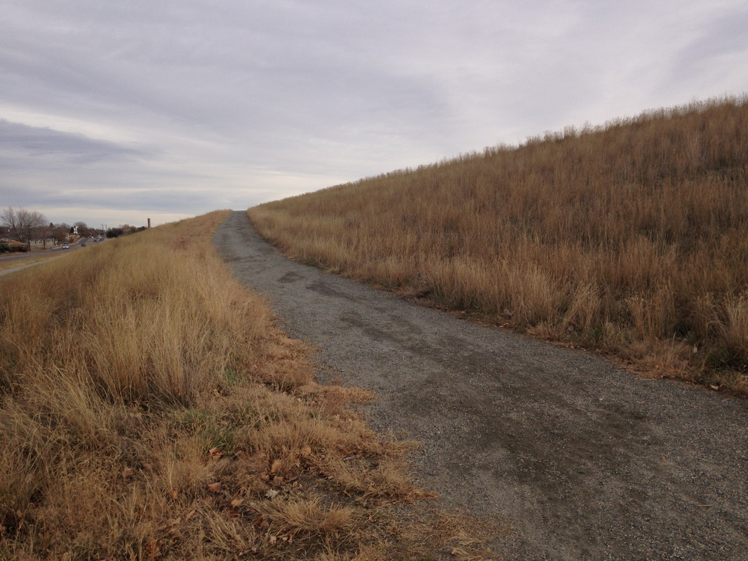
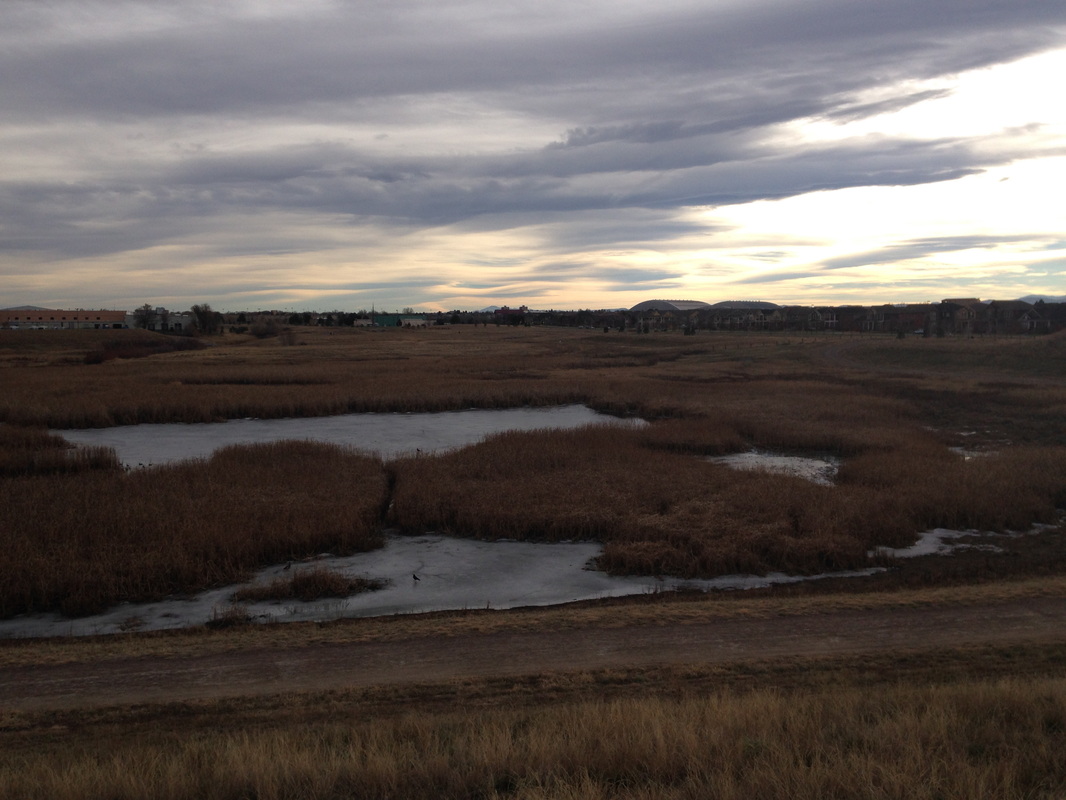
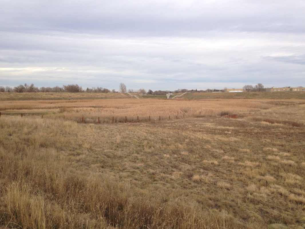
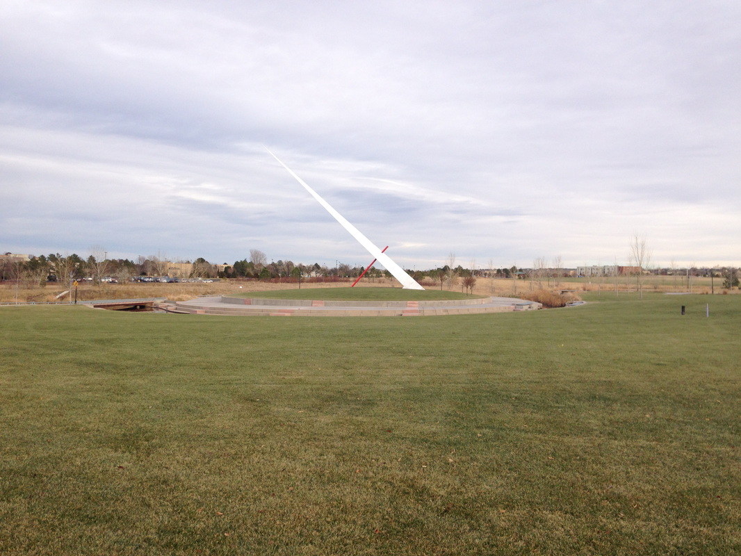
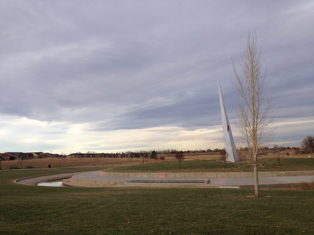
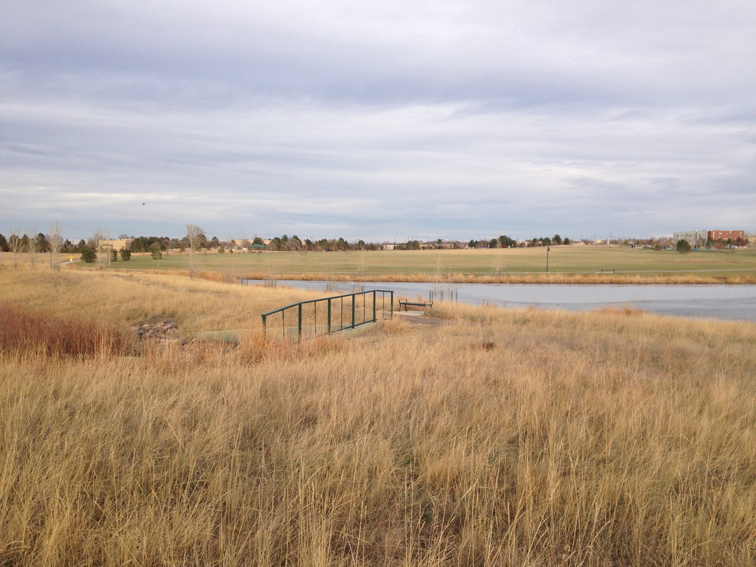
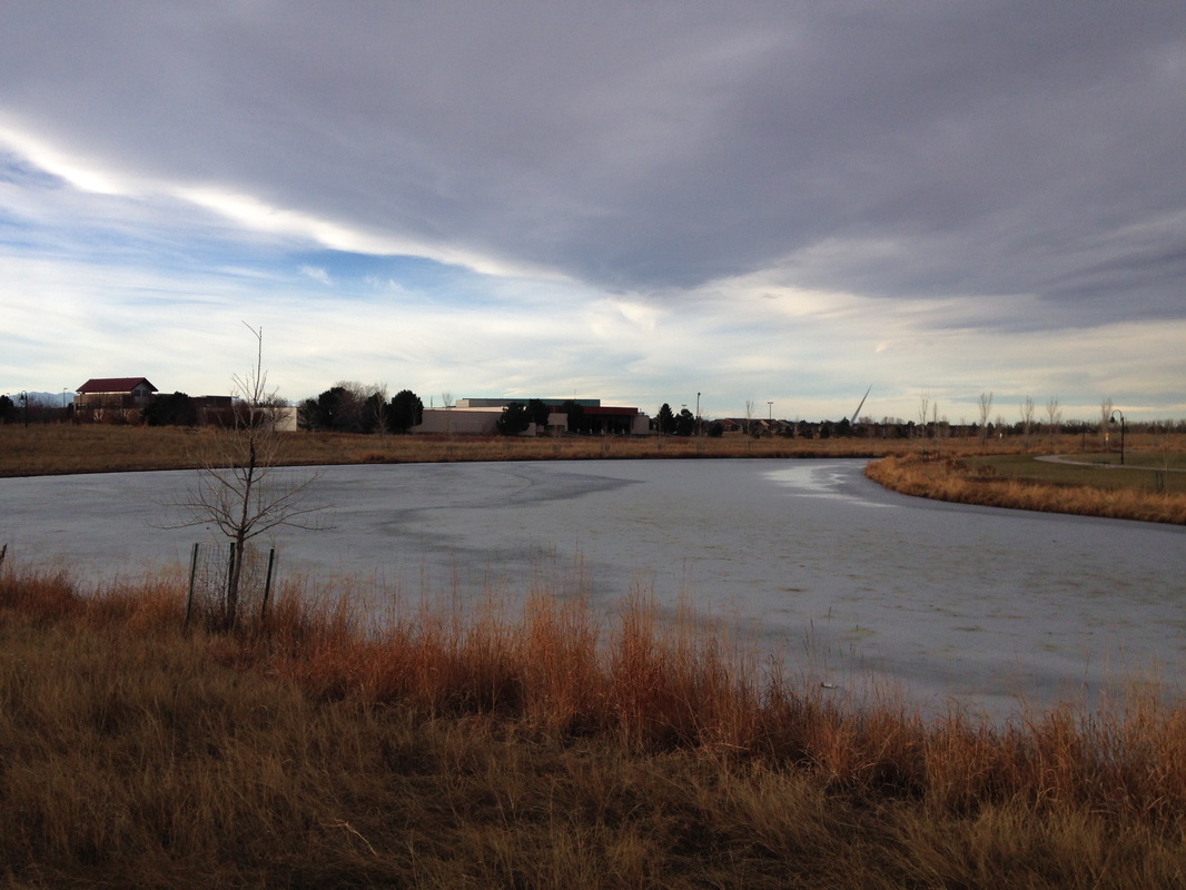
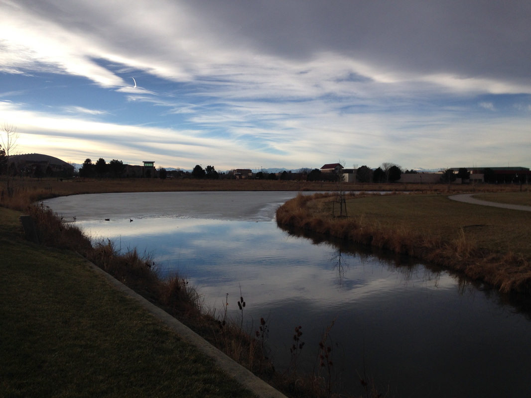
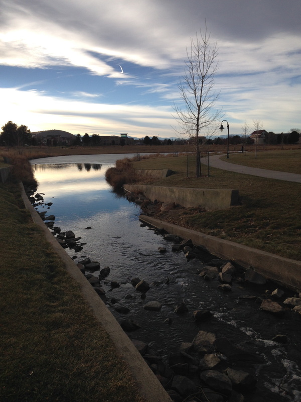
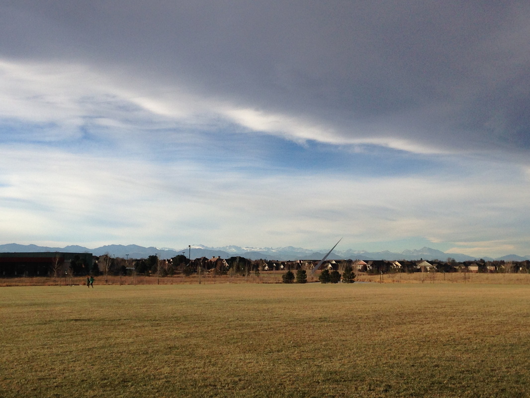
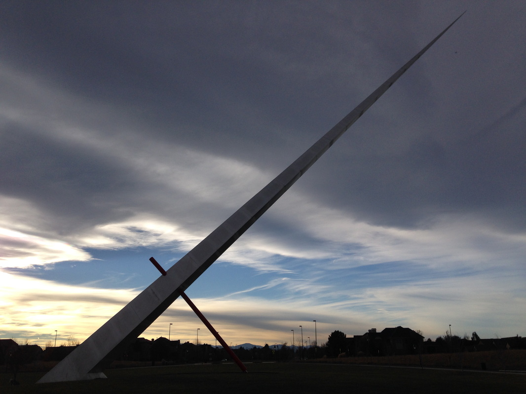
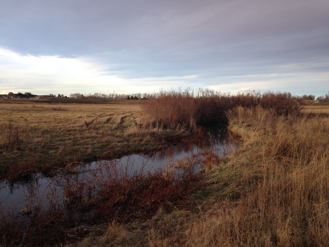
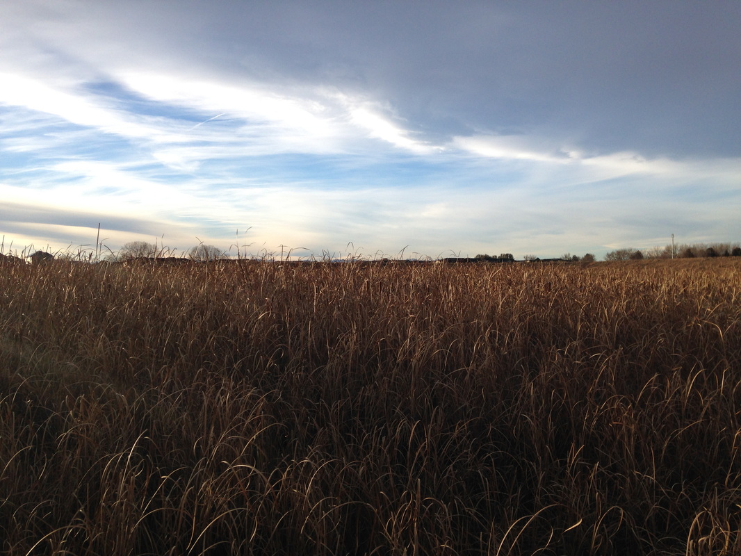
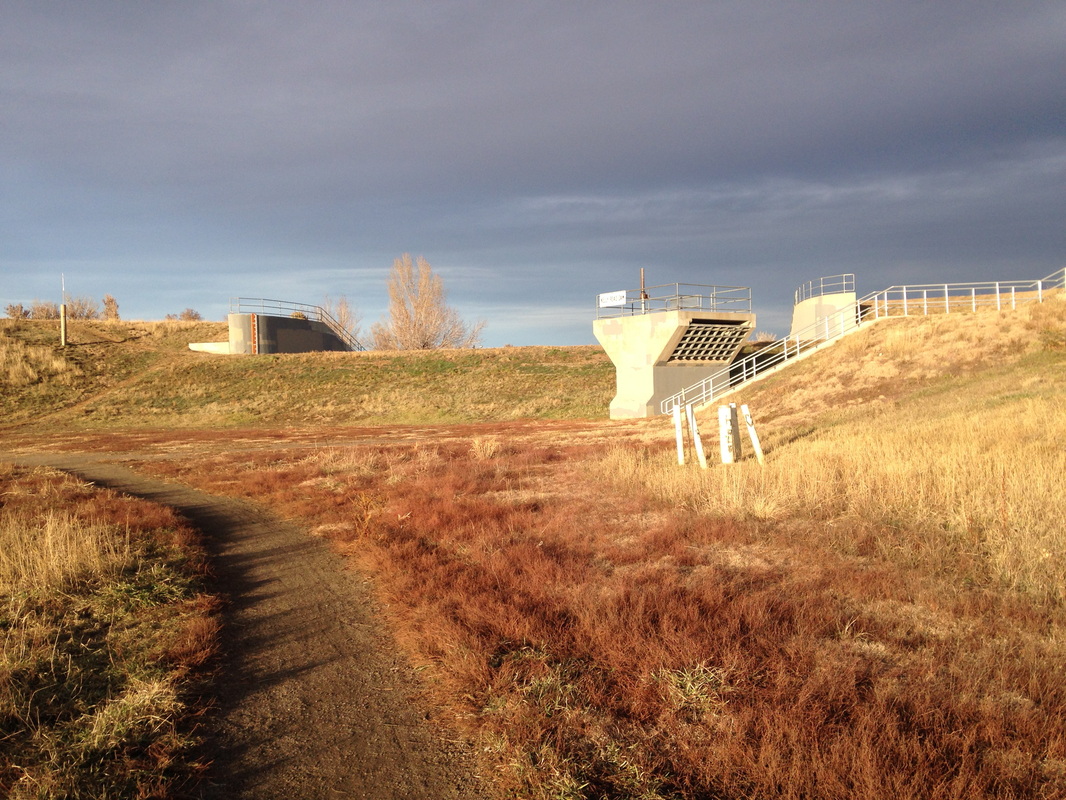
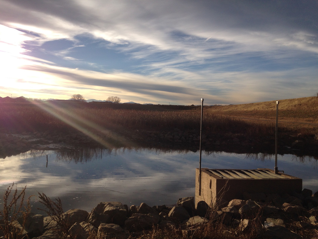
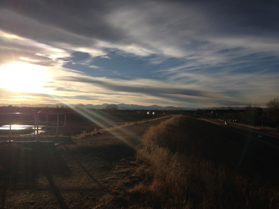
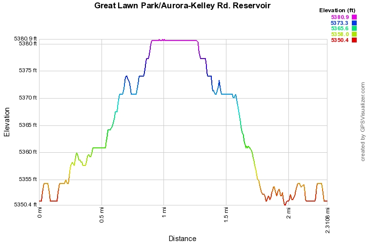
This short hike/walk through a suburban Denver park combines a natural area hike with a stroll through a nice neighborhood park and the views of the Front Range are spectacular.  Starting at the Reservoir, follow the gravel path along the rim of the reservoir.  By the way, the Reservoir is mostly dry.  The bed of the reservoir is now made up of wetlands with a small creek running through the middle.  From the rim, take the stairs or ramp down to the bed of the reservoir and follow the dirt trail as it loops along the reservoir.  When you reach the south end of the reservoir, switch to the paved trail as it loops around the giant sun-dial and connects to the beautifully manicured Great Lawn Park.

The paved trail follows the perimeter of the park and visits various ponds, streams, and park facilities.  Great Lawn Park, as it’s name suggests consists mainly of a large grass lawn that stretches out to a wonderful view of the Front Range Mountains.  Mt. Evans, the Indian Peaks, and Longs Peak are on full display.  The paved trail will loop around and connect back to the reservoir natural area.  To get back to the dirt loop trail, cross the stream over a series of large, flat boulders.  Once back at the loop trail you can follow the bed or climb the stairs back to the rim, either way you’ll connect back to the starting point.

For a suburban park, the Kelley Road Reservoir provides a more natural setting than you are likely to get at most neighborhood parks.  Connecting with Great Lawn Park provides a longer walk and a terrific escape or relaxing stroll.  

© Go Hike Colorado, 2020.  All Rights Reserved. 
Use of photographs without prior authorization is
​strictly prohibited.


Contact us at:
[email protected]
Legal Disclaimer - Information provided on this site is based upon our own observations, always double check information with the appropriate land management agency before heading into the backcountry.  Backcountry travel is inherently dangerous, please take all proper precautions.  Go Hike Colorado is not responsible for injury or incident.