GO HIKE COLORADO
Get in Touch:
  • HOME
  • ABOUT
  • HIKES BY REGION
    • DENVER AREA >
      • Denver Mountain Parks
      • Jefferson County Open Space
      • Lakewood Parks
      • Denver Area Greenways
    • BOULDER AREA
    • DOUGLAS COUNTY
    • FORT COLLINS AREA
    • COLORADO SPRINGS AREA
    • FRONT RANGE
    • TENMILE & MOSQUITO RANGES
    • GORE RANGE
    • SANGRE DE CRISTO MOUNTAINS
    • PARK RANGE
    • SAWATCH RANGE
    • ELK MOUNTAINS
    • SAN JUAN MOUNTAINS
    • THE FLAT TOPS
    • GRAND MESA
    • COLORADO PLATEAU
    • EASTERN PLAINS
  • NATIONAL PARK HIKES
    • BENT'S OLD FORT NATIONAL HISTORIC SITE
    • BLACK CANYON OF THE GUNNISON NATIONAL PARK
    • COLORADO NATIONAL MONUMENT
    • CURECANTI NATIONAL RECREATION AREA
    • DINOSAUR NATIONAL MONUMENT
    • FLORISSANT FOSSIL BEDS NATIONAL MONUMENT
    • MESA VERDE NATIONAL PARK
    • ROCKY MOUNTAIN NATIONAL PARK
    • GREAT SAND DUNES NATIONAL PARK
    • HOVENWEEP NATIONAL MONUMENT
    • SAND CREEK MASSACRE NATIONAL HISTORIC SITE
    • YUCCA HOUSE NATIONAL MONUMENT
  • HIKES BY CATEGORY
    • HIKES TO ALPINE LAKES
    • HIKES TO PEAKS & PASSES
    • HIKES THROUGH CANYONS
    • HIKES WITH FALL COLORS
    • HIKES ALONG THE I-70 CORRIDOR
    • HIKES ON PAVED TRAILS
    • HIKES FOR KIDS
    • HIKES TO WATERFALLS
    • HIKES ALONG RIVERS
    • HIKES WITH ROCK FORMATIONS
    • HIKES WITH WILDFLOWERS
    • WINTER HIKES
  • NEWS
  • WEBCAMS
  • $UPPORT GHC
  • INTERACTIVE MAP

Kriley Pond
Golden Gate Canyon State Park

Date Hiked: September 27, 2014

​Distance: .3 mi (RT)
Elevation Gain: Negligible
Elevation: 8,300ft
Managing Agency: Colorado State Parks
Fee: Yes

Golden Gate Canyon SP Trail Map
Picture

Directions:  From Denver head west on I-70 and west on Hwy 58.  Turn right (north) onto Hey 93 and left (west) onto Golden Gate Canyon Road.  Follow this road all the way into the state park and bear left at the intersection near the entrance.  Kriley Pond will be on your right.

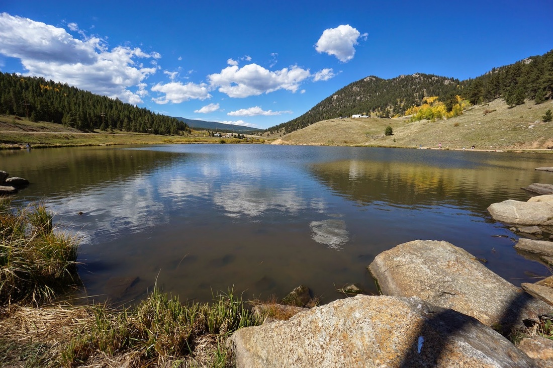
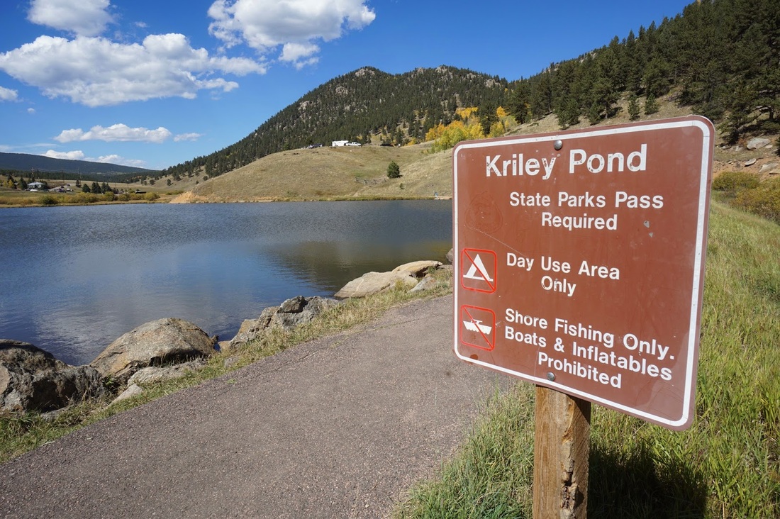
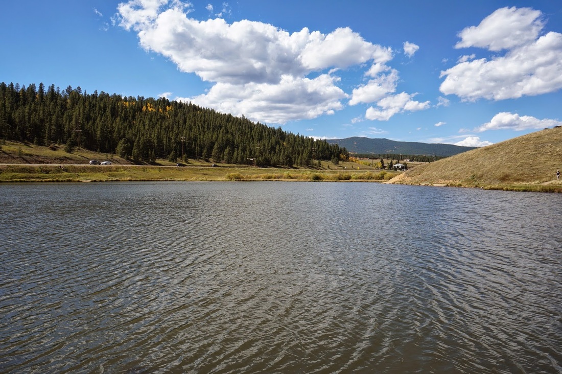
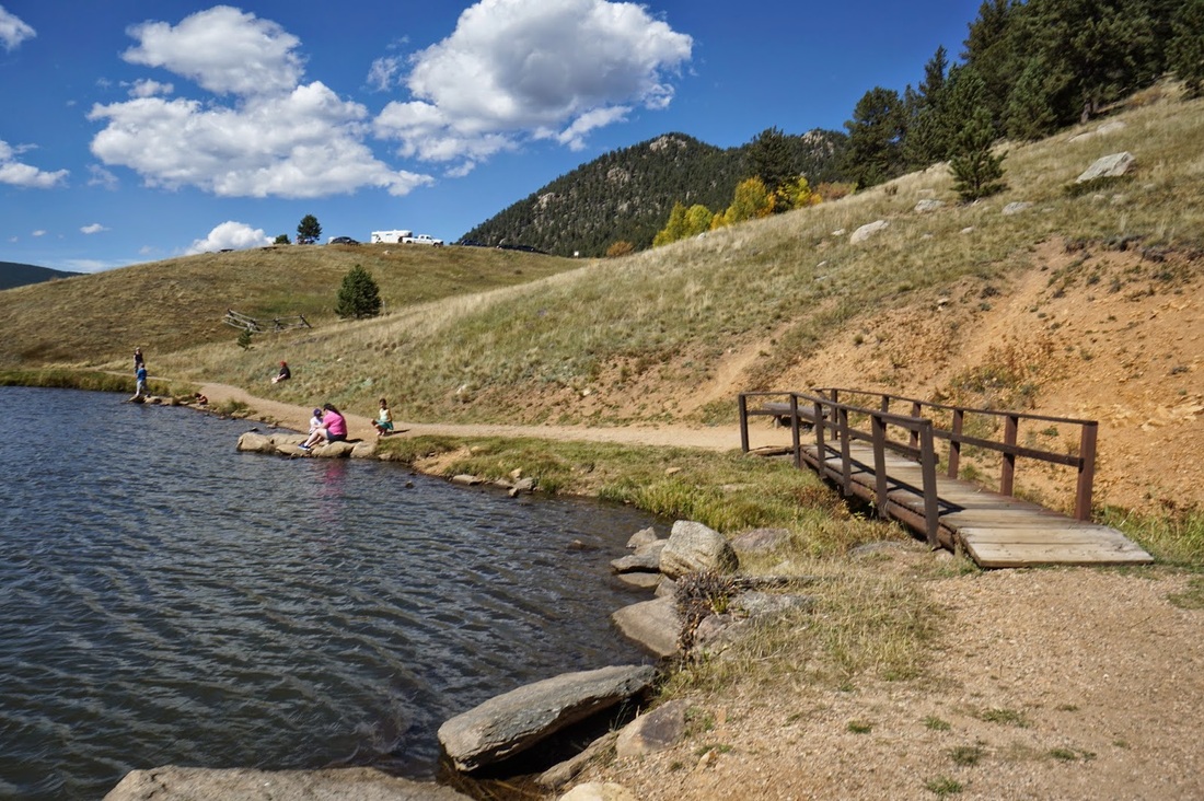
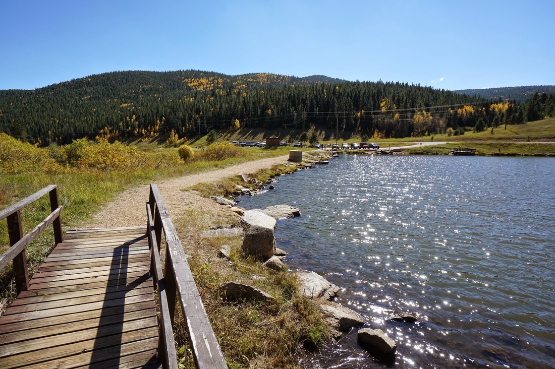
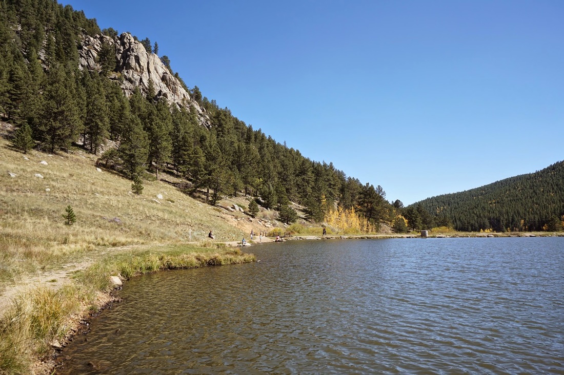
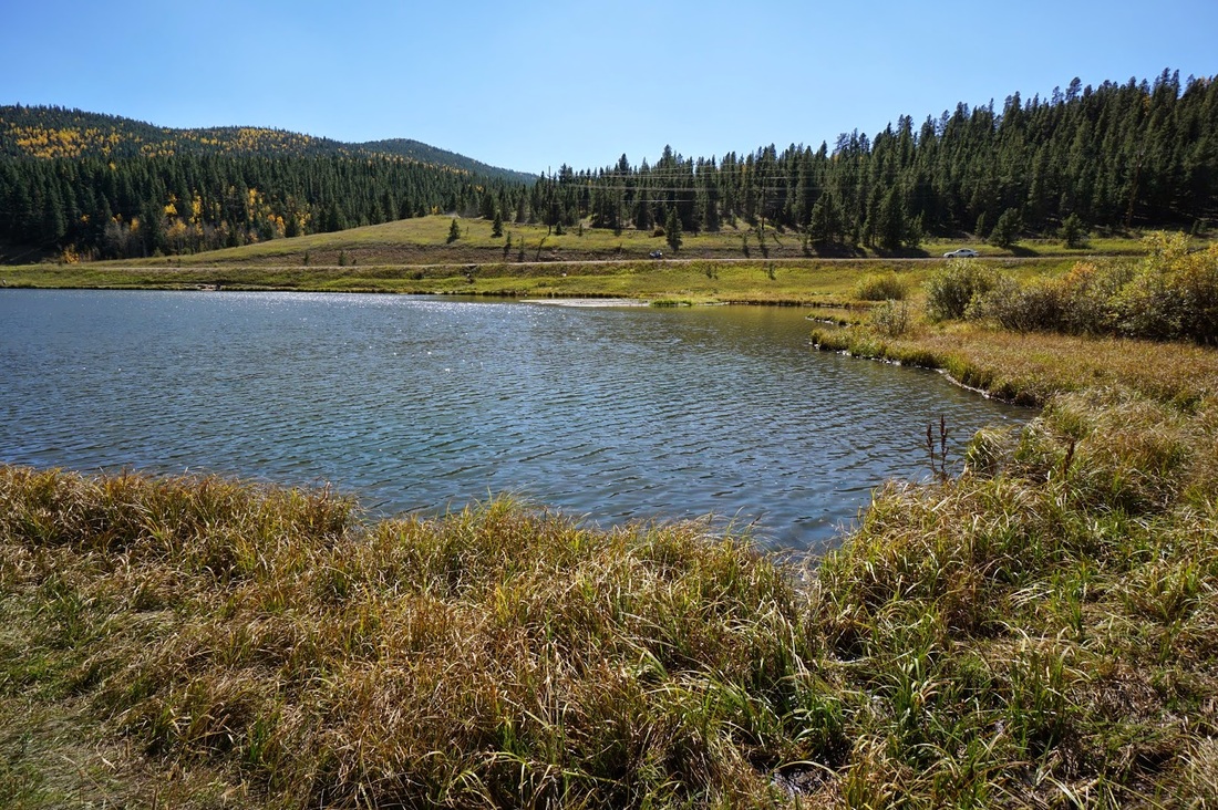
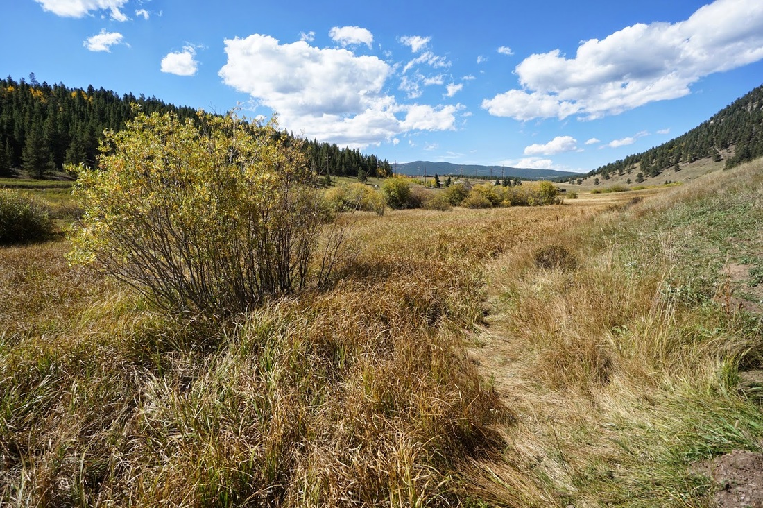
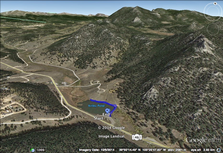
Kriley Pond is a small fishing pond along Golden Gate Canyon Road and Ralston Creek.  There is a very short, and very easy, trail that runs along the eastern and northern shores but does not go around the entirety of the pond.  The western shore is wetland and you would have to wade through it in order to go completely around, please don’t…  That being said the pond is pretty and if you or your little ones are looking to picnic and take a short walk, this hike may fit the bill.  There is also access to the Blue Grouse Trail from the pond so if the parking lot is full at the Blue Grouse Trailhead, park here.  Oh yeah, there are also restrooms here…
Powered by Create your own unique website with customizable templates.