|
|
|
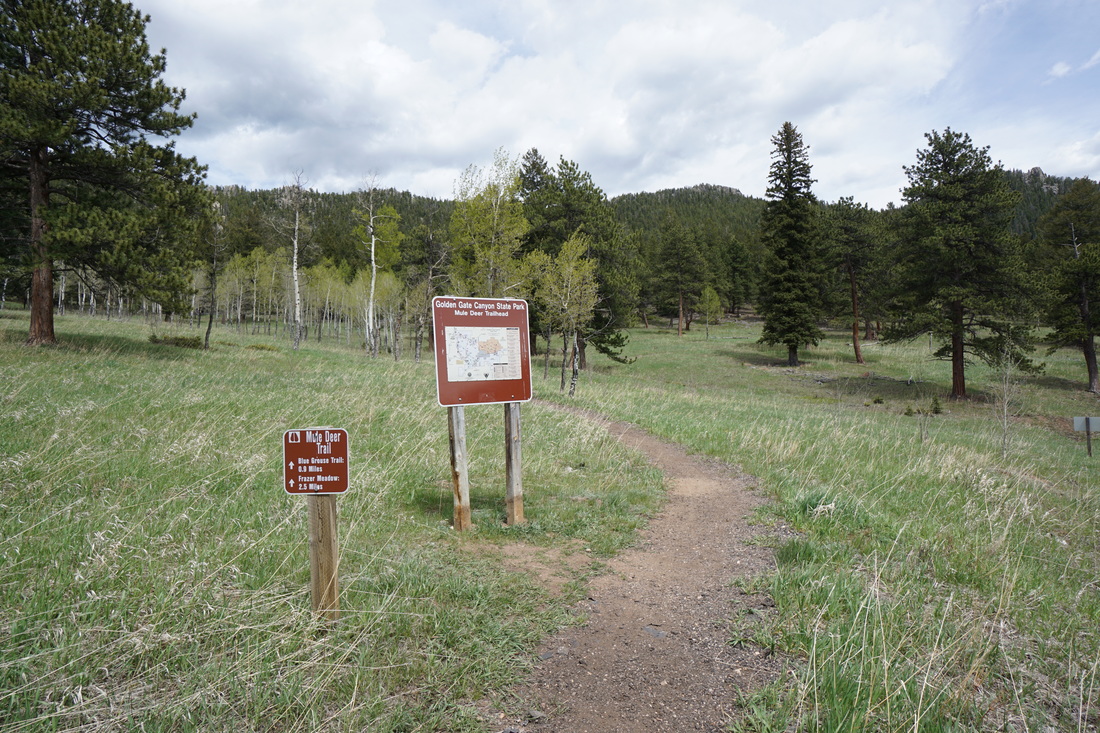
Directions: From Denver, take I-70 to Hwy 58 to 93 north. Turn left (west) on Golden Gate Canyon Road and travel west following signs to the park. When you see the park entrance sign and the fee station stay to the left. Turn right on Mountain Base Road (towards Panorama Point) and park at the Old Barn Knoll parking area.
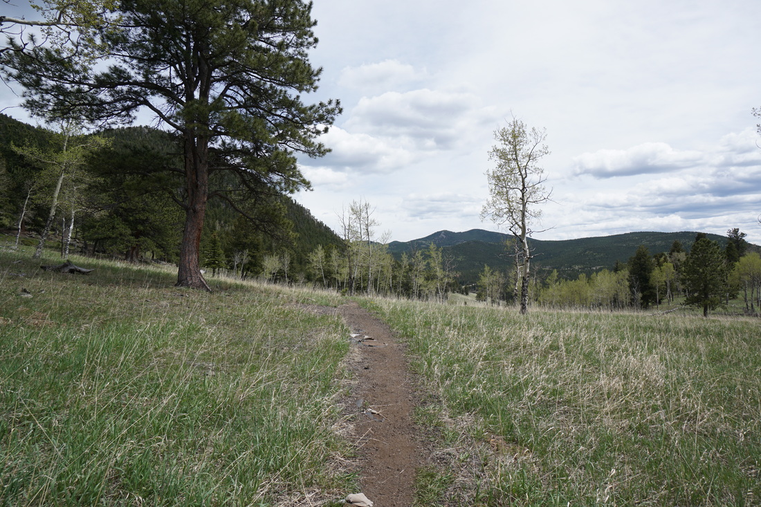
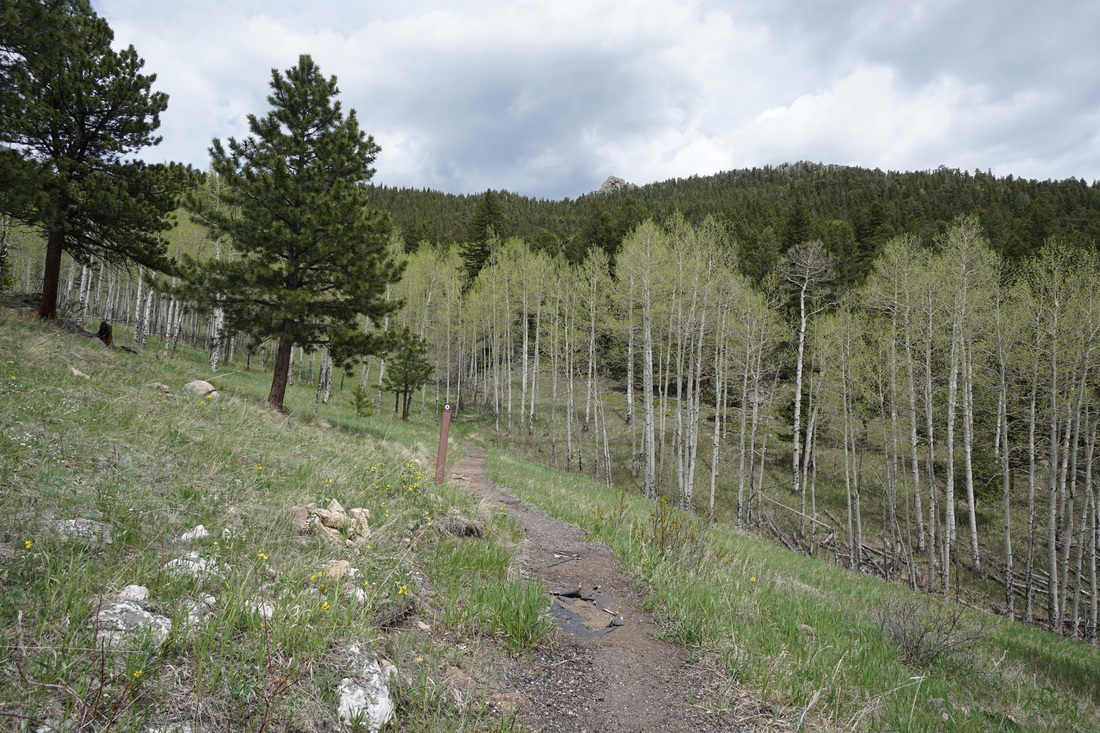
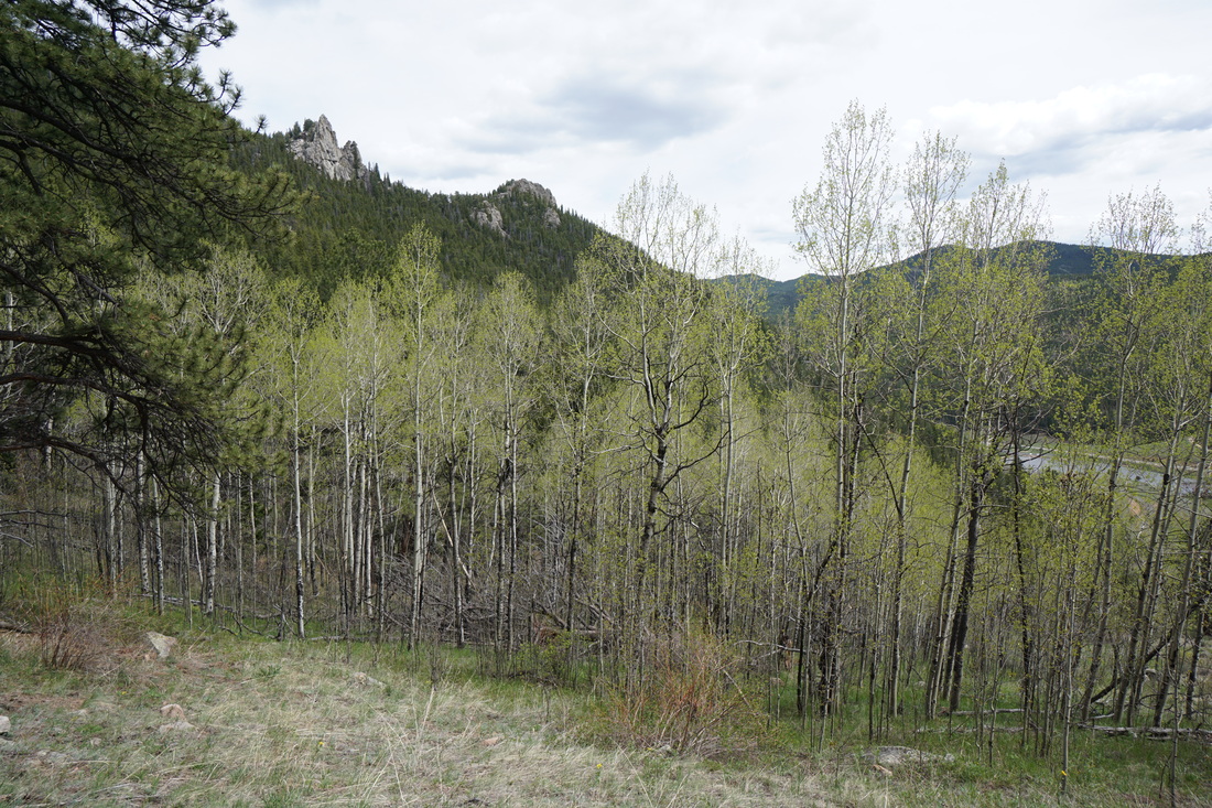
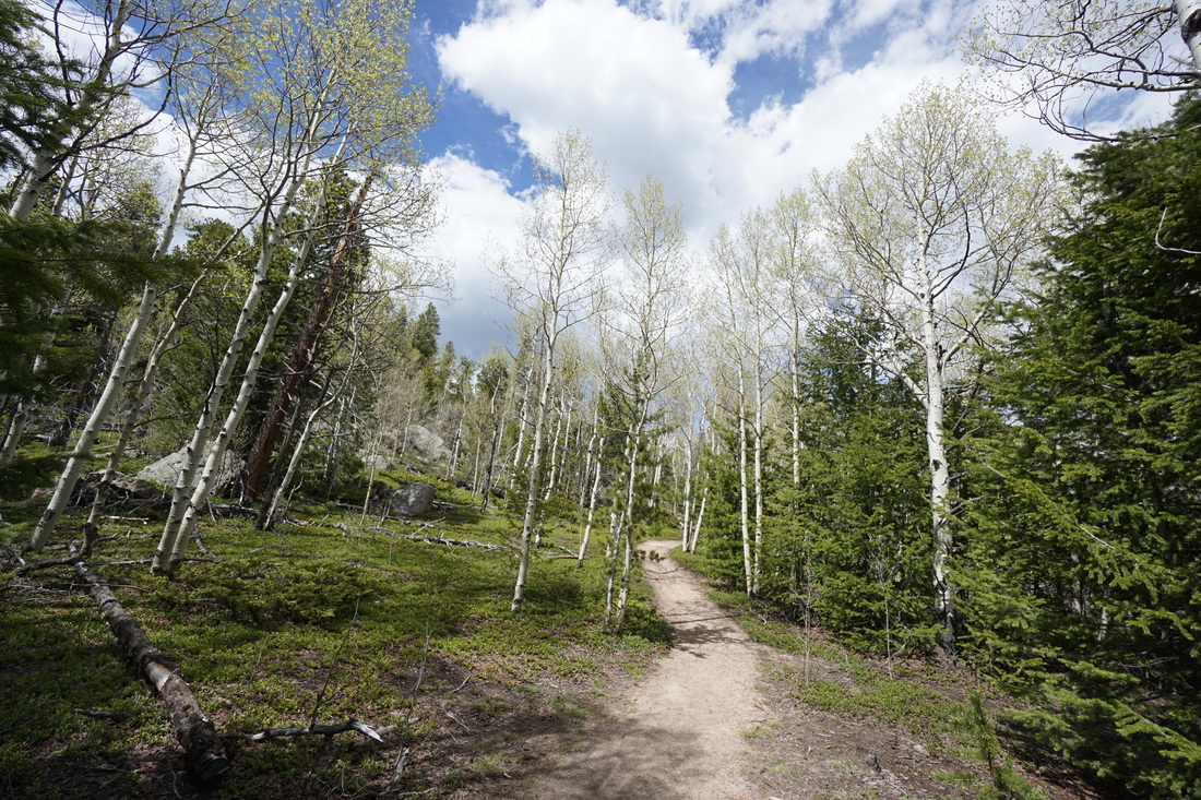
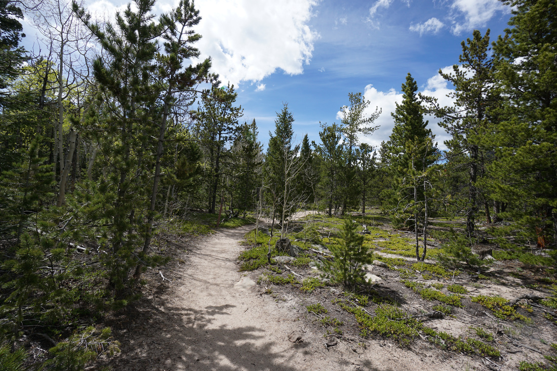
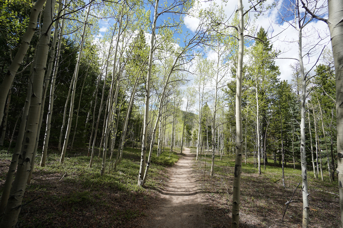
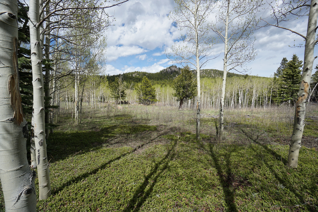
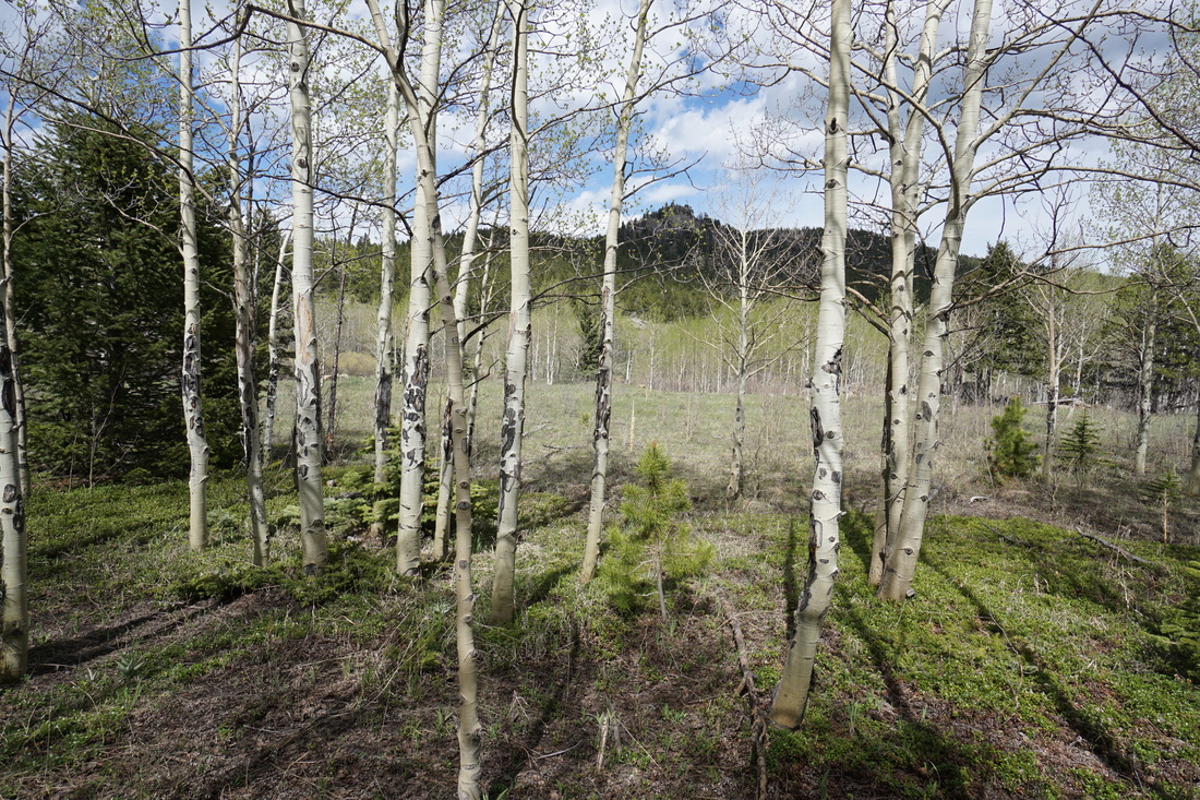
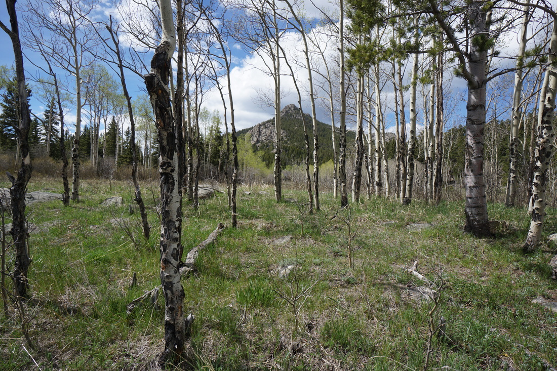
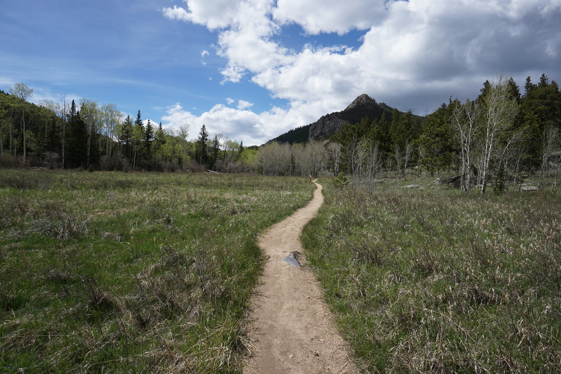
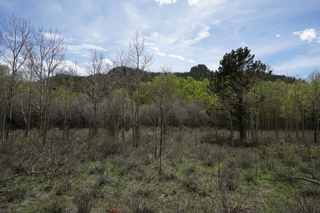
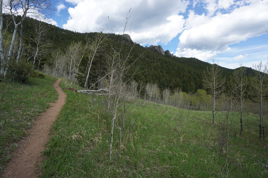
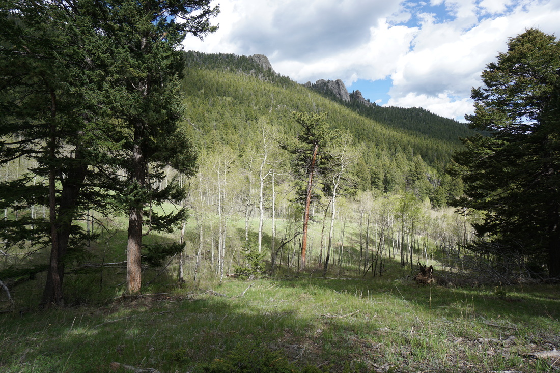
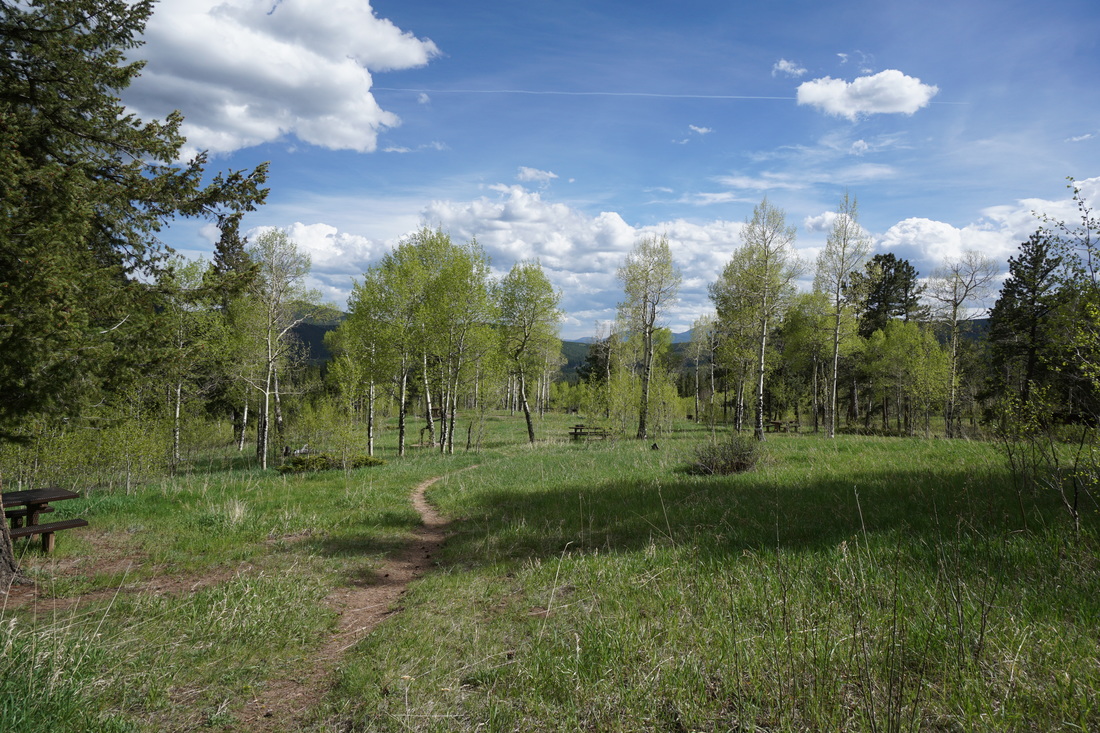
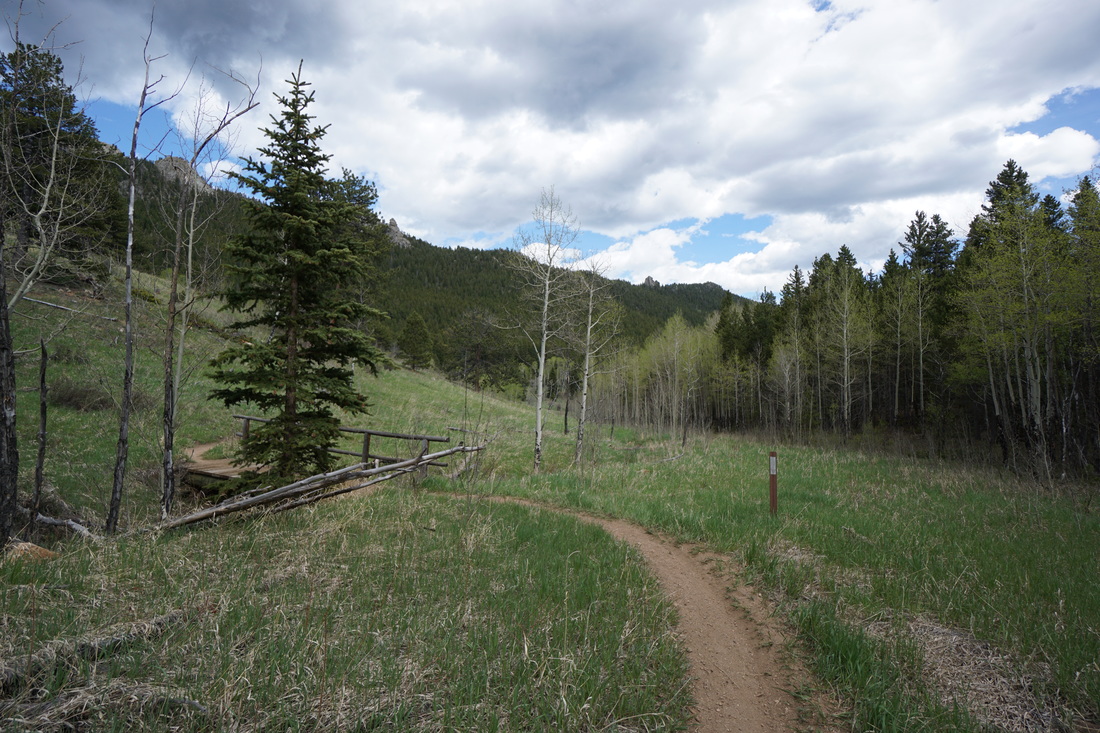
There are many terrific hikes in Golden Gate Canyon State Park and this is one of the best. The hike has two incredible viewpoints, explores the peaceful Frazier Meadow, and gives you a good workout without being too strenuous. The hike is riddled with Aspen groves so be sure to come here in the fall, but early summer is amazing too when the fresh and new aspen leaves glow green rather than gold.
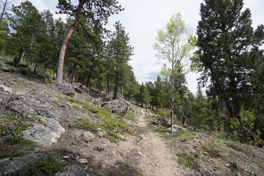
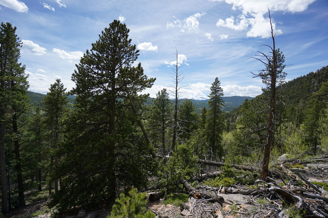
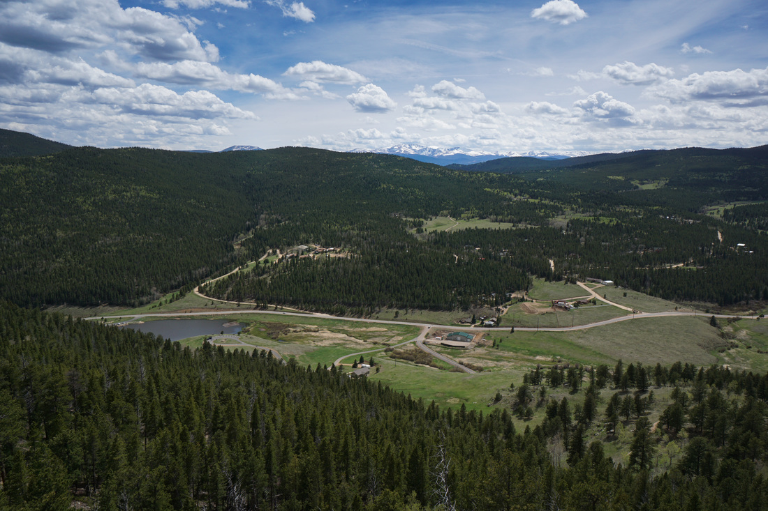
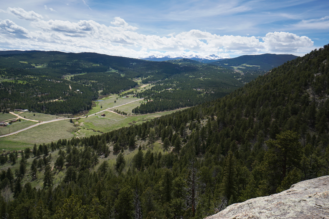
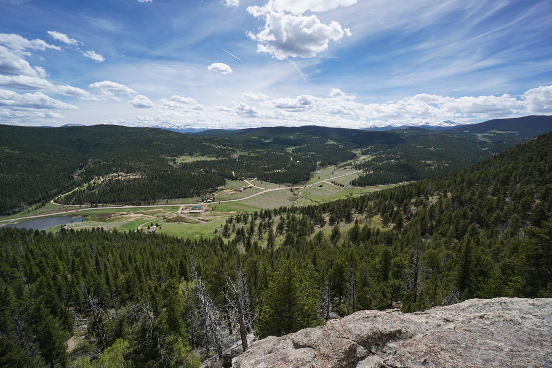
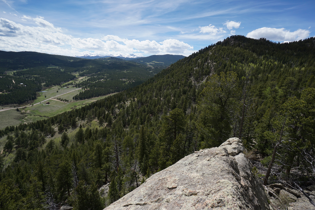
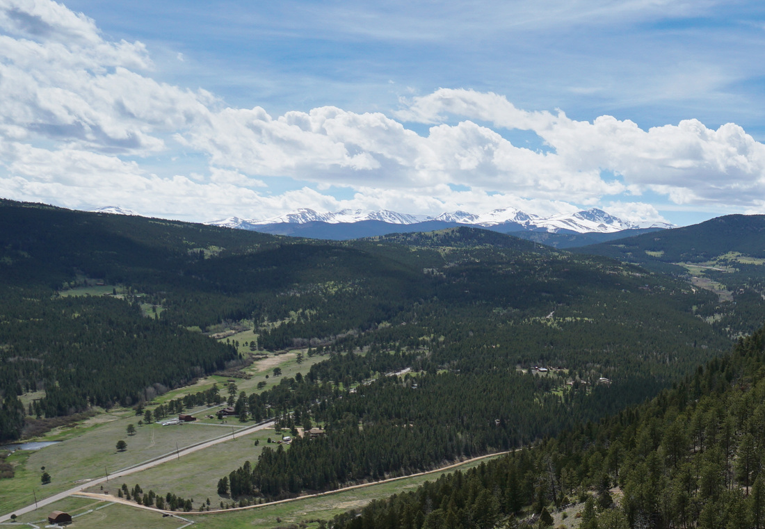
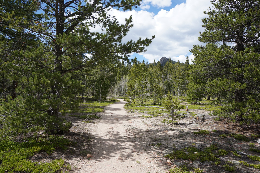
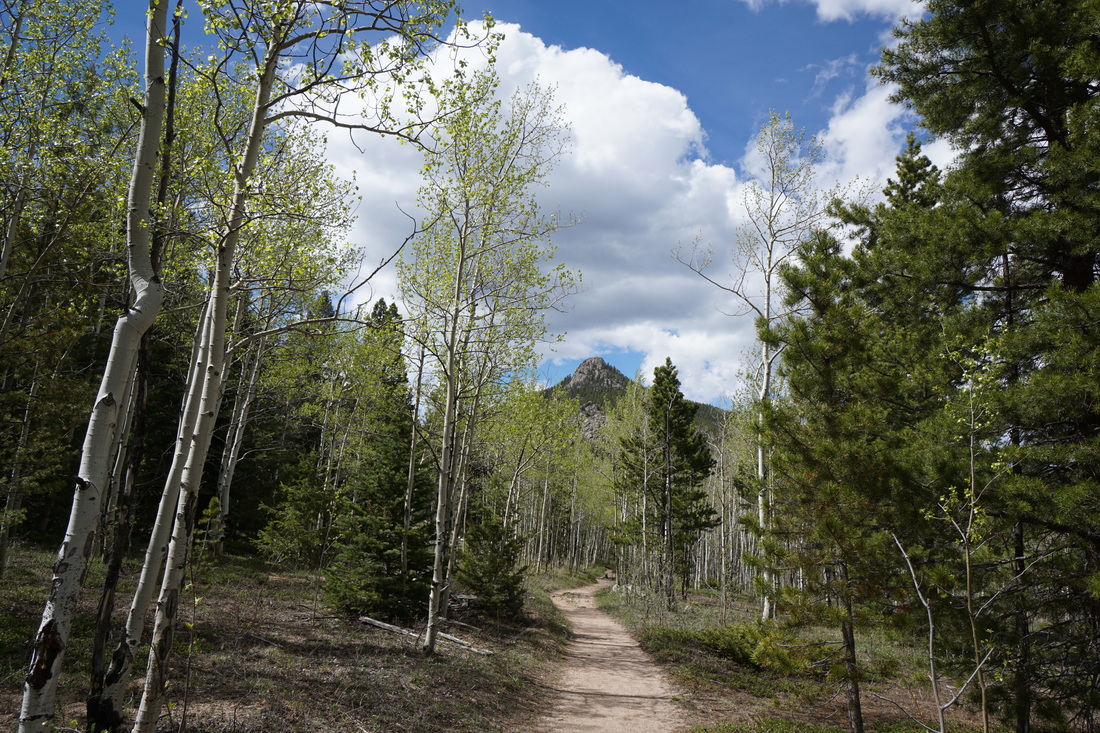
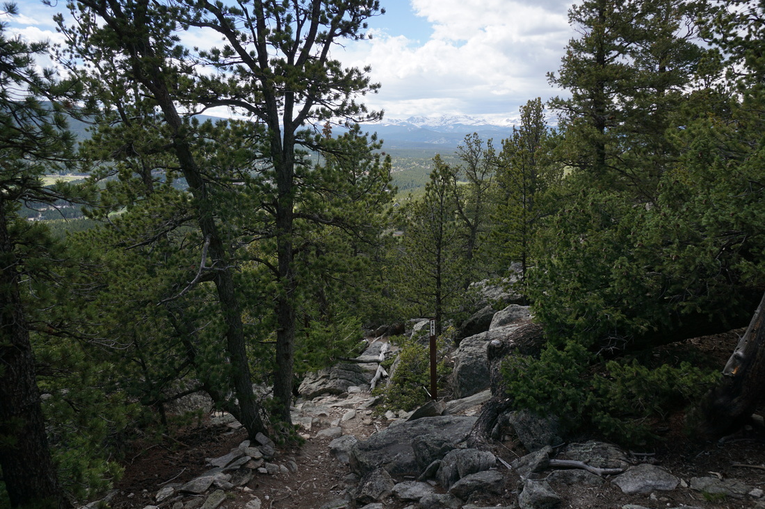
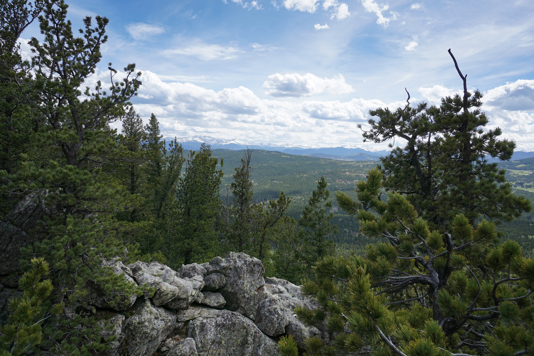
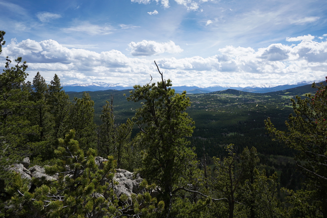
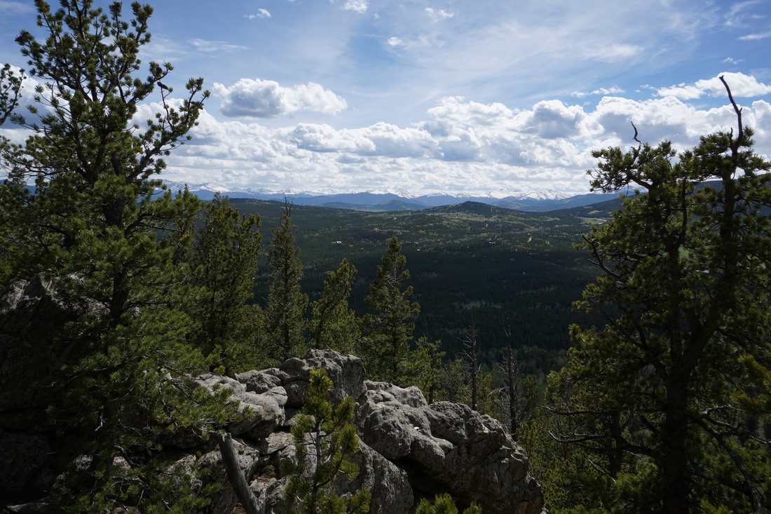
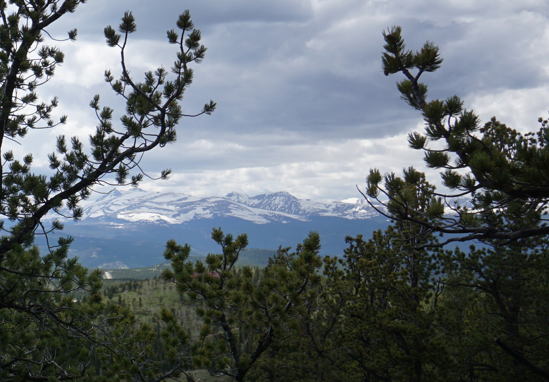
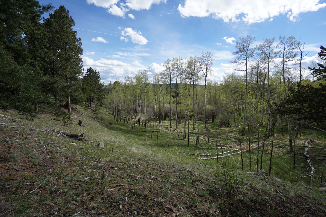
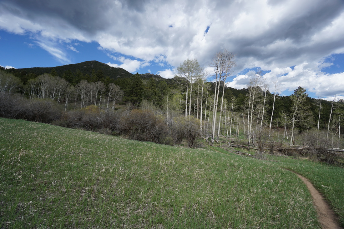
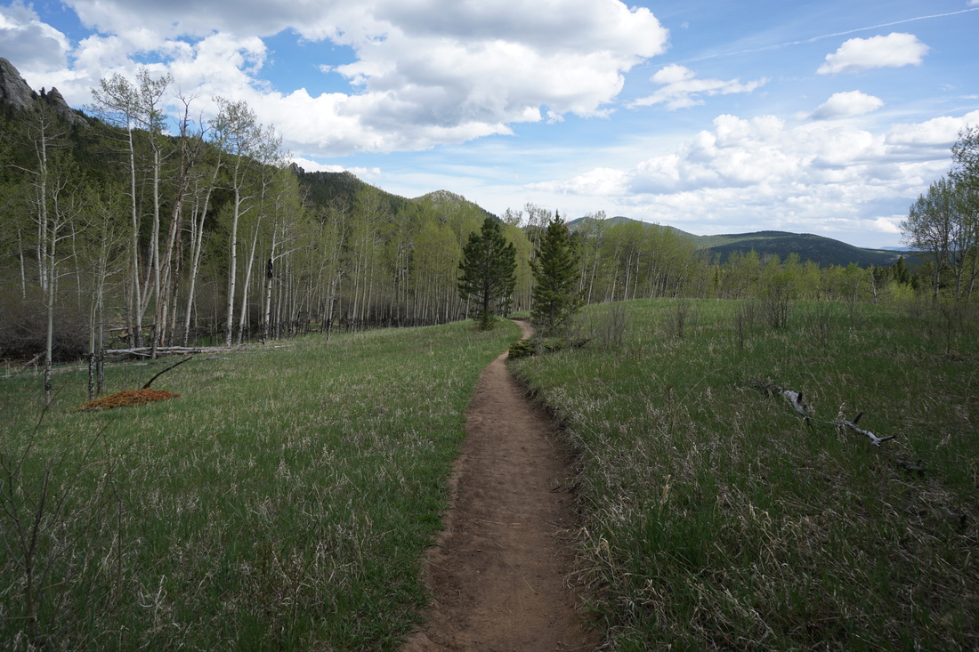
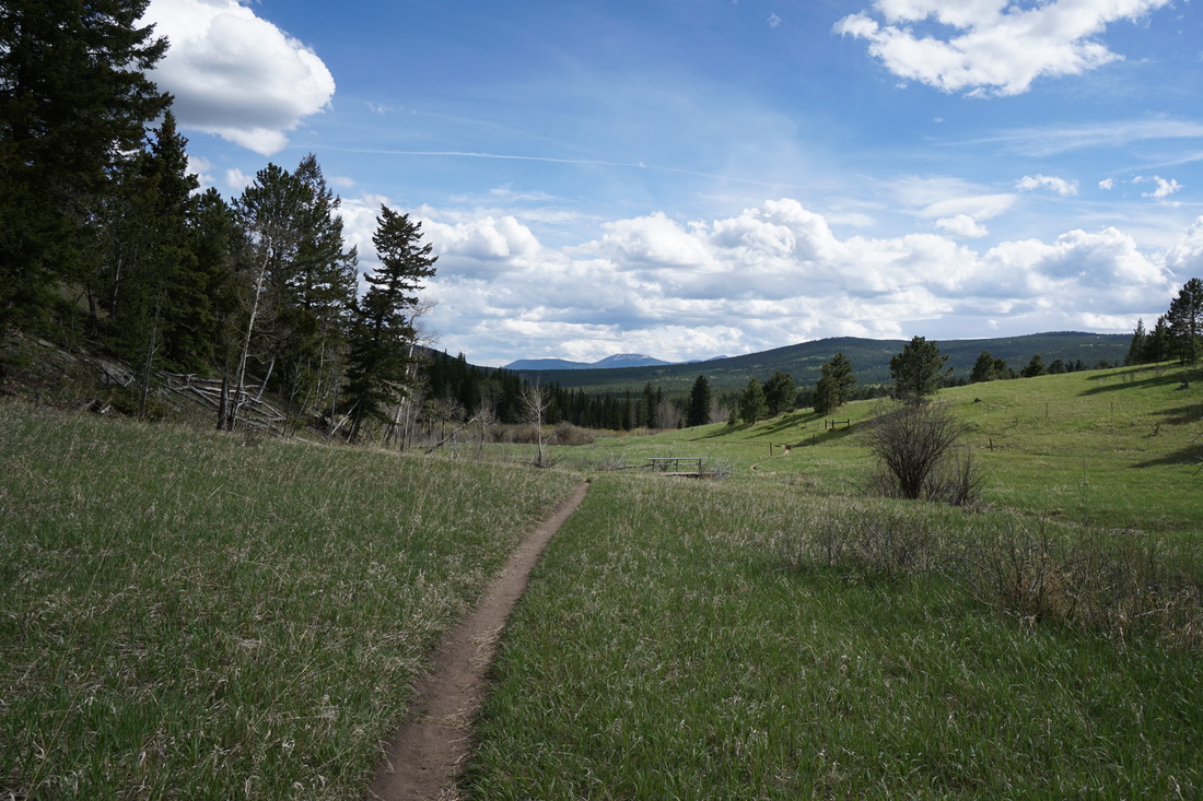
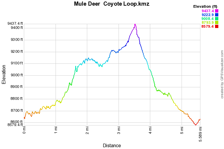
From the trailhead you skirt an open meadow before heading up through rocky pine forest. The gentle ascent takes you to a saddle with a rock outcropping. Though it will take a bit of scrambling, this outcropping provides an incredible view of Mt. Evans, Grays and Torreys Peaks, and the valley below. From the saddle the hike mellows for a while as you cross an aspen forest and enter Frazier Meadow. After you pass the historic Frazier Cabin turn left (west) on the Coyote Trail towards the rock cap of Tremont Mountain. You again start to climb through rock pine forest heading towards yet another saddle. At the top of this saddle the views hit you like a ton of bricks. This view is even better than the first. In addition to Evans, Torreys and Grays, you also can see James Peak and the Indian Peaks. After a rest, continue on the Coyote Trail as it works its way down the hillside. You'll pass another historic cabin and cross Mountain Base Road. On the other side of the road stay to the left at the Mule Deer Junction. The trail rolls along the hillside with open meadows and views back towards Tremont Mountain. After a short downhill romp, the trail weaves back to the Old Barn Knoll parking area to conclude the hike. At 5.6 miles this hike is just right. It gets into the heart of the park and traverses a diverse array of ecosystems. There are endless options to extend the hike so go explore to your heart's (and legs') content. |
|