|
DIRECTIONS: From Denver, take I-76 north to East 152nd Street. Exit the highway onto 152nd street cross the railroad tracks and turn right onto Lark Bunting Road. Follow the road into the park to the trailhead.
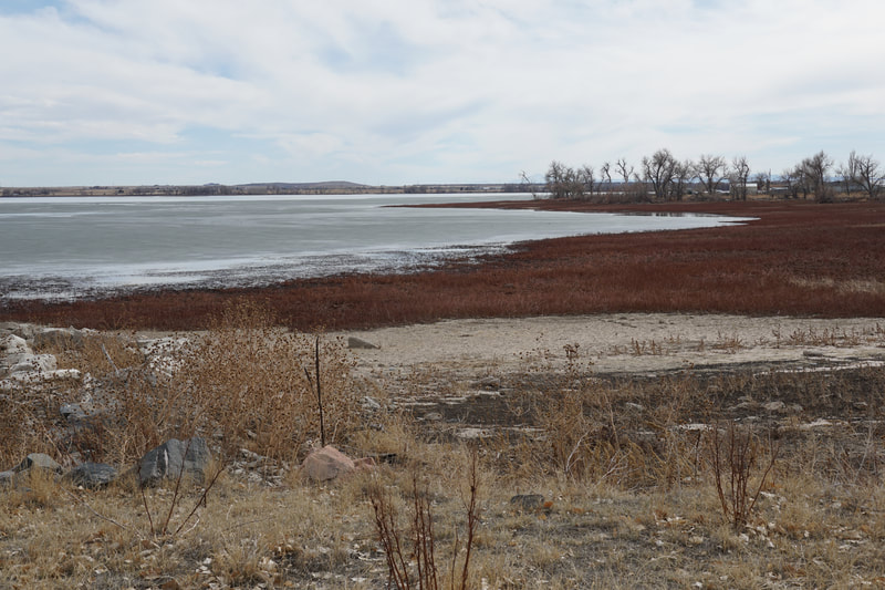
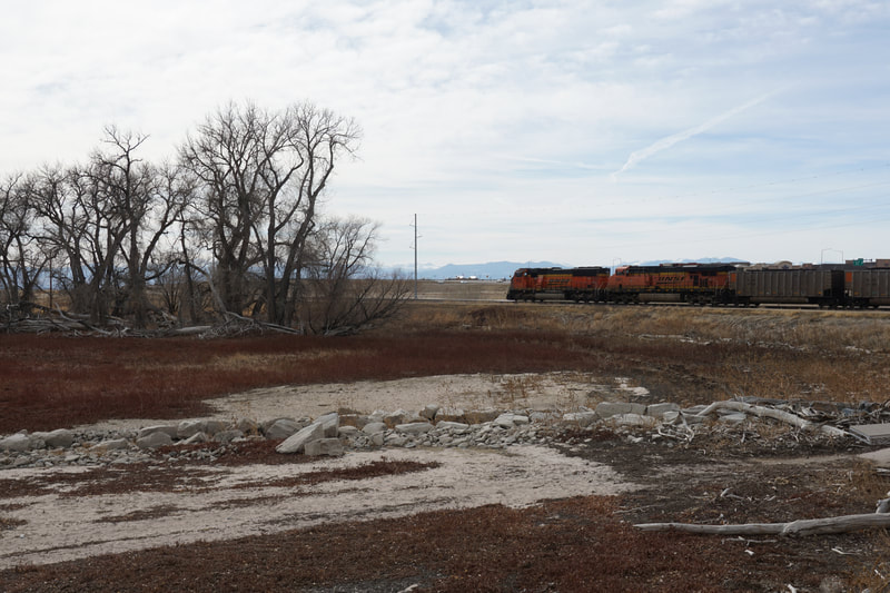
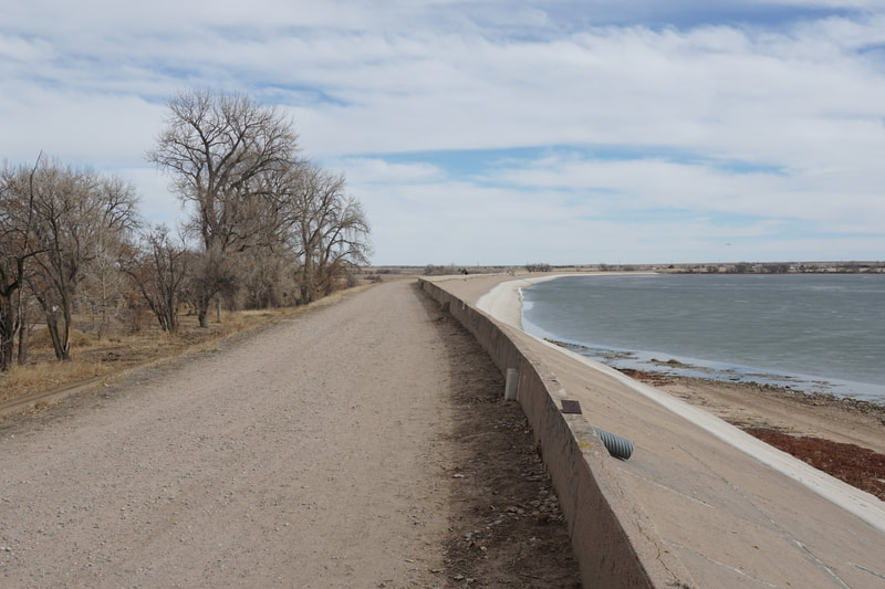
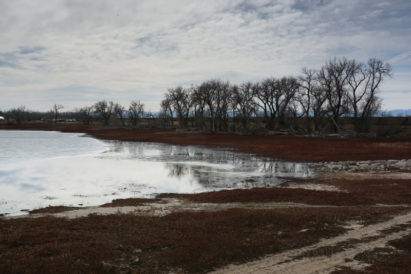
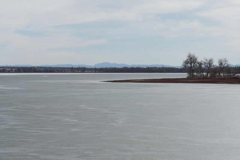
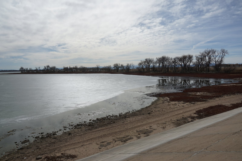
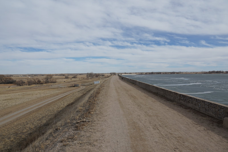
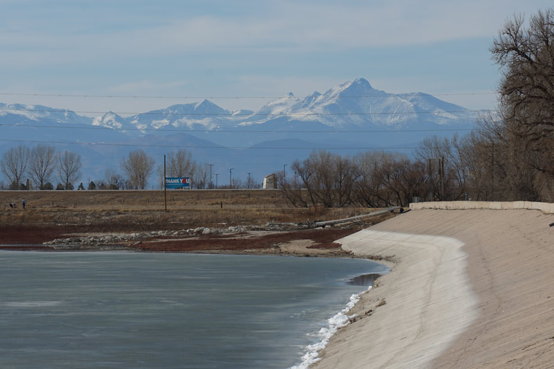
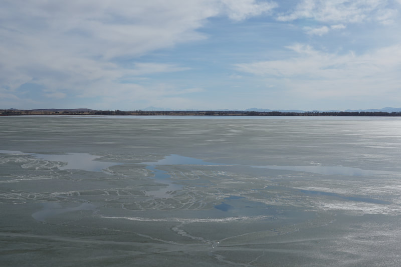
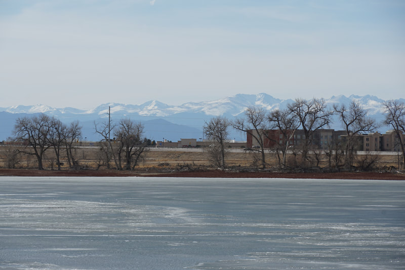
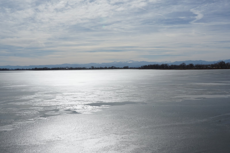
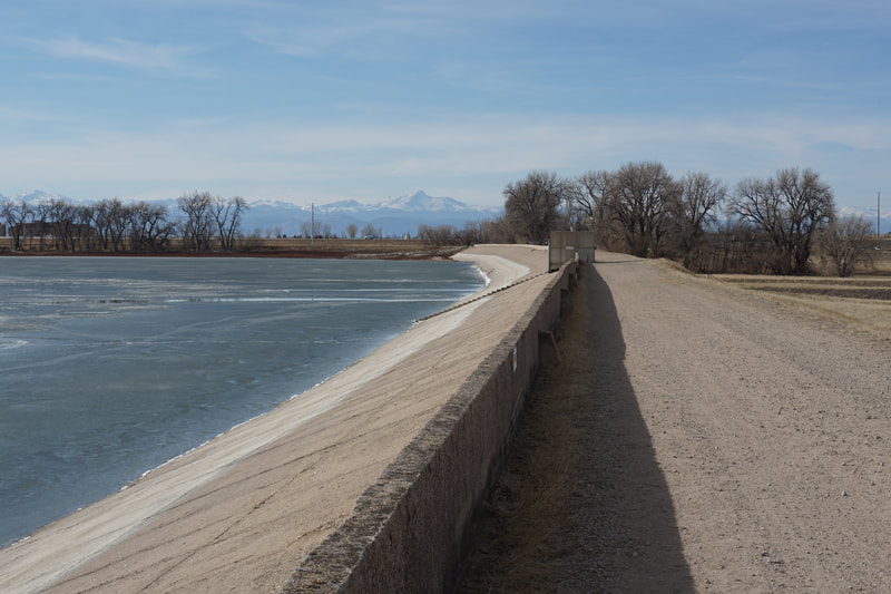
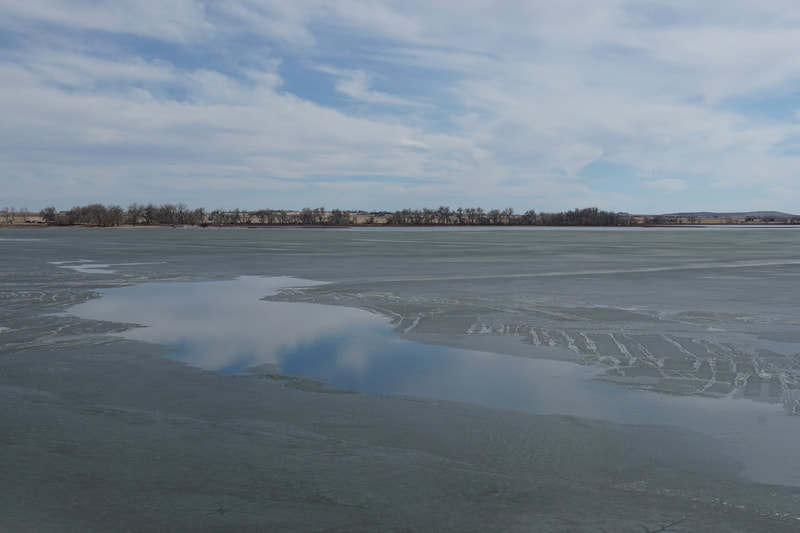
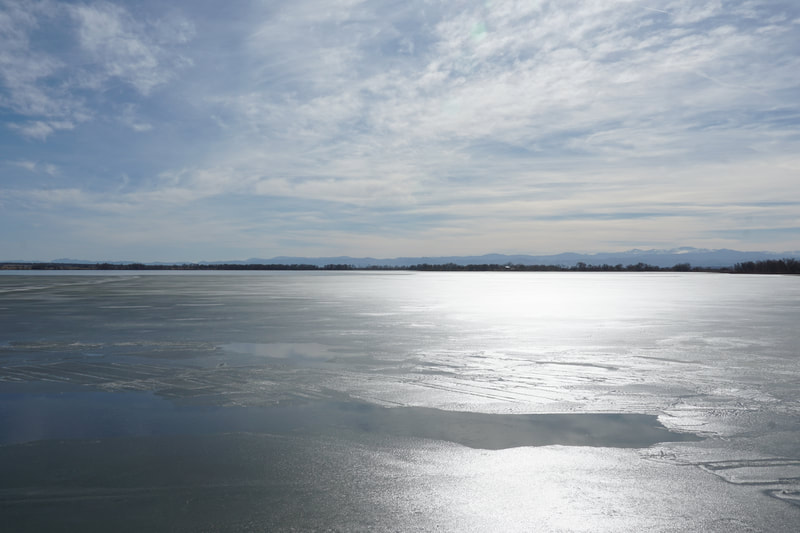
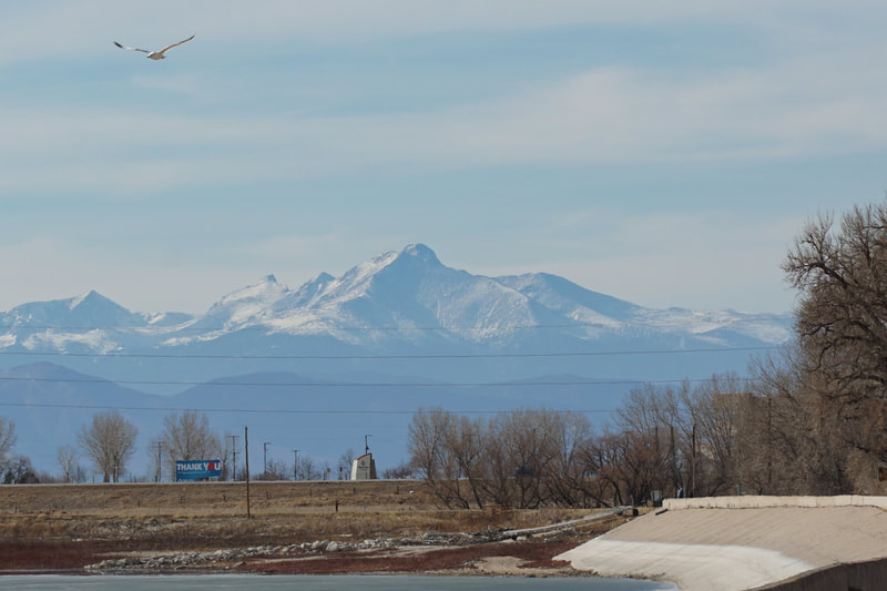
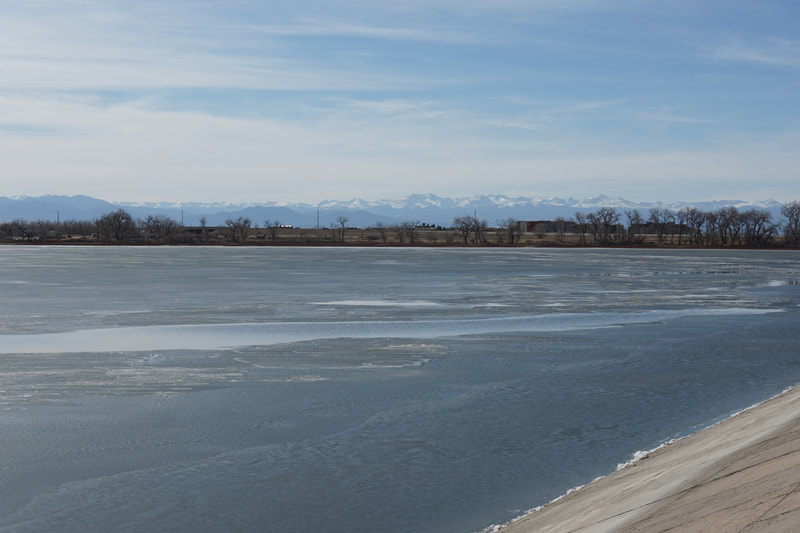
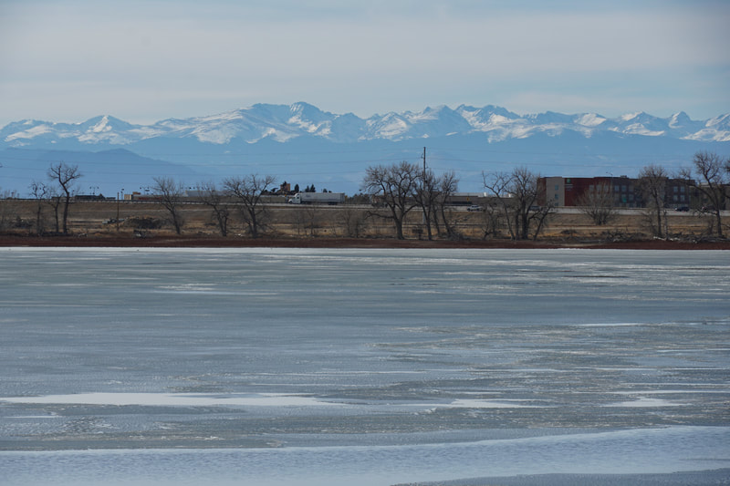
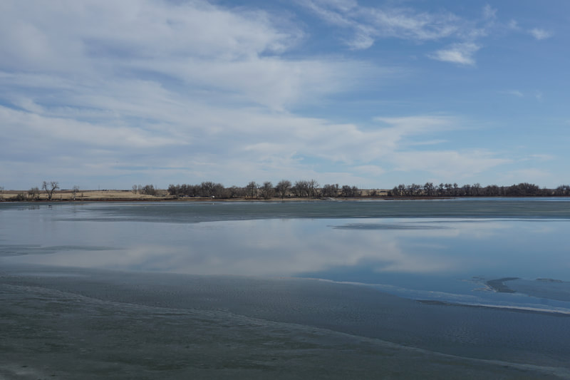
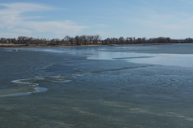
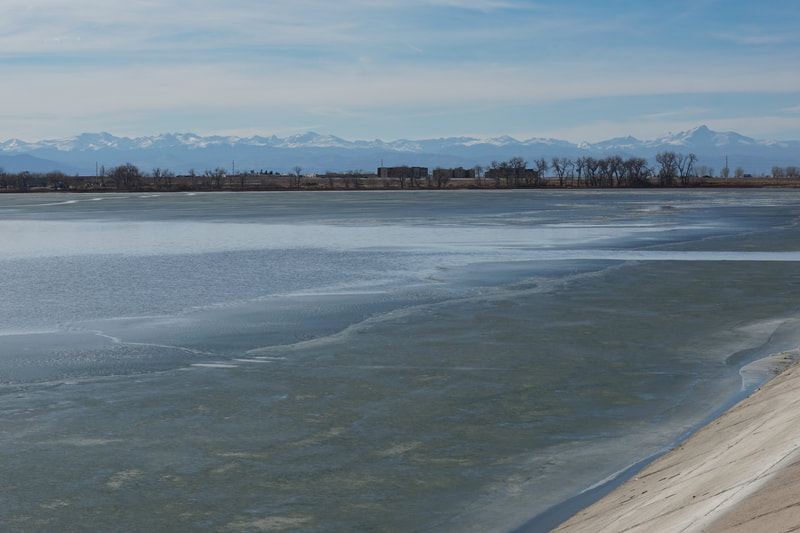
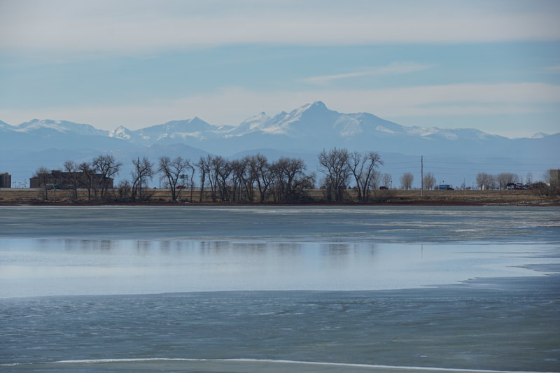
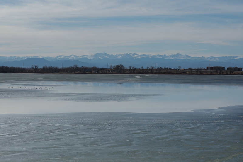
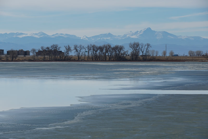
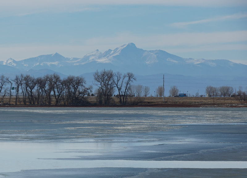
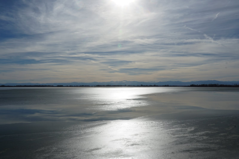
Barr Lake State Park sits on the eastern edge of Denver at a transition from the city to the plains. The reservoir is huge and can be circumnavigated by a 9 mile trail. Due to the length, hikers can explore portions and make up shorter nature trails. The Crest Trail is a straightforward walk over the eastern dam but it provides a extraordinary view of the Front Range mountains. This hike would be incredible at sunset...
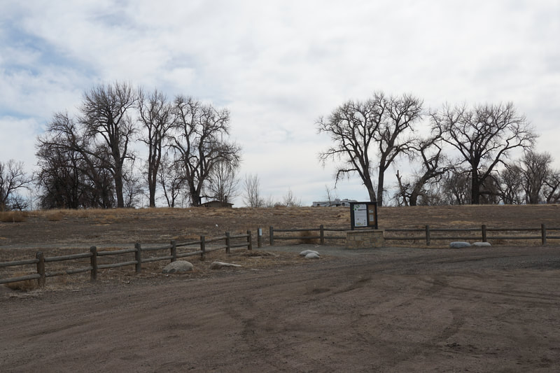
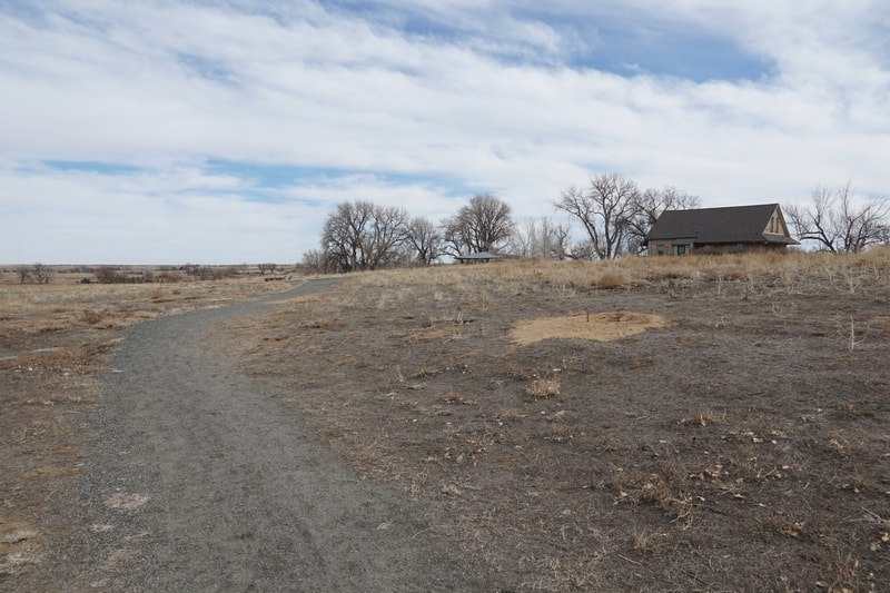
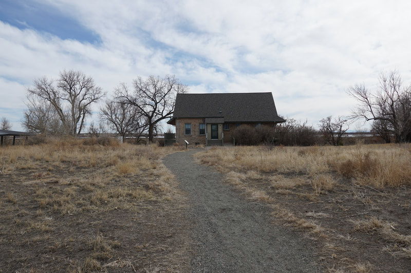
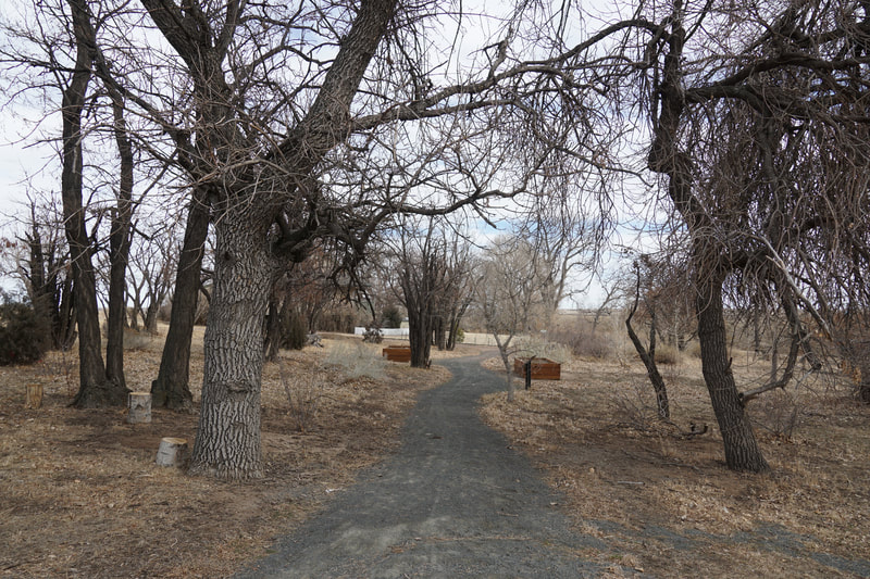
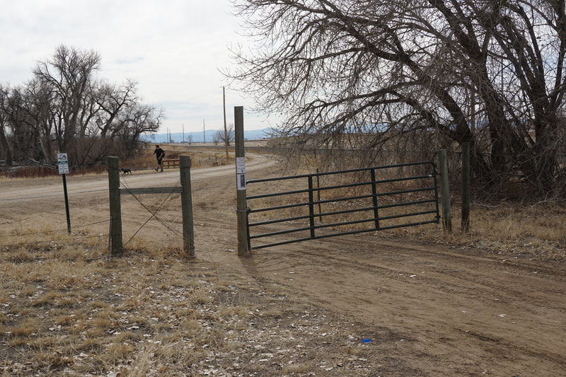
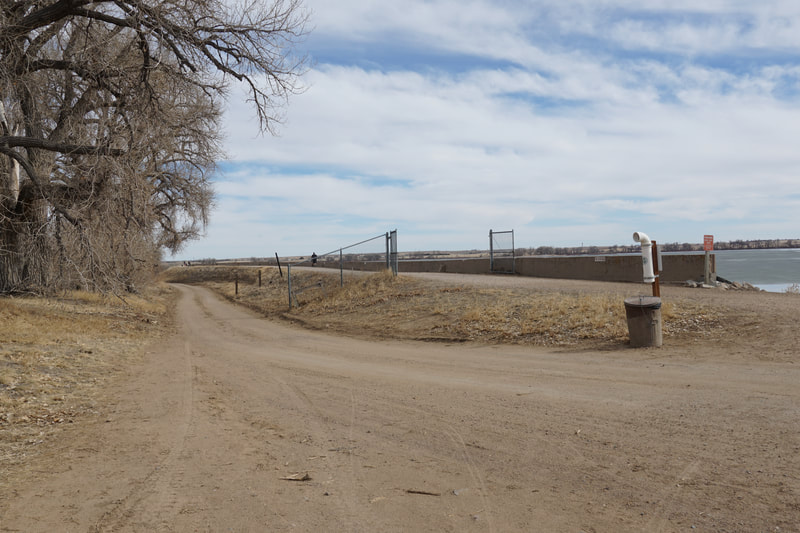
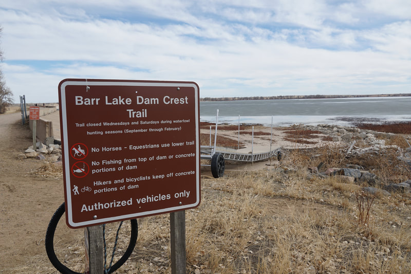
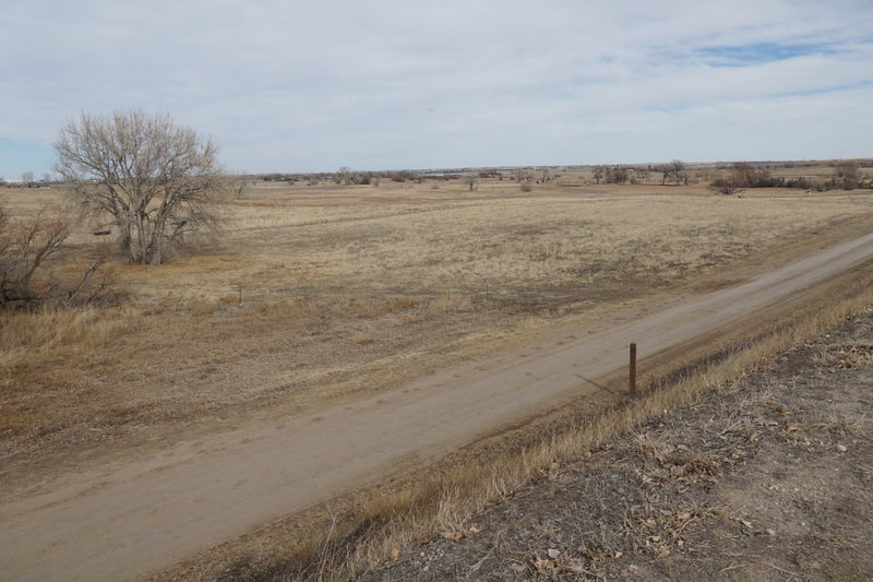
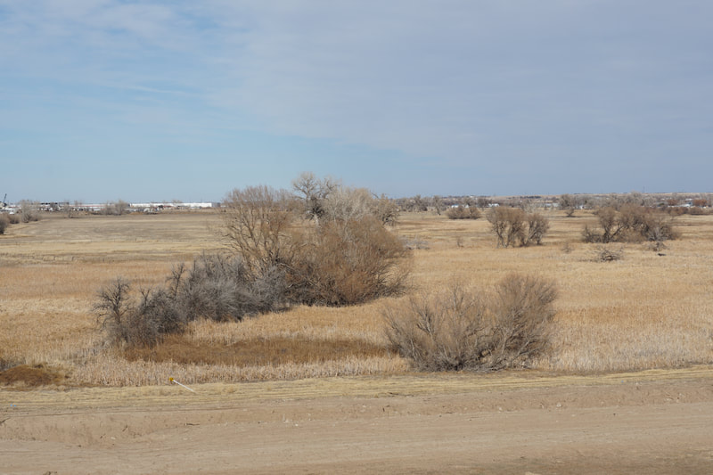
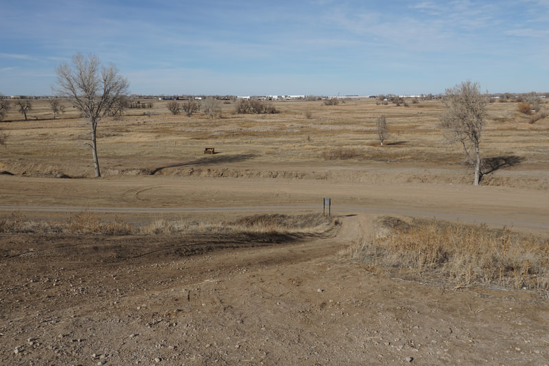
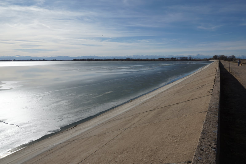
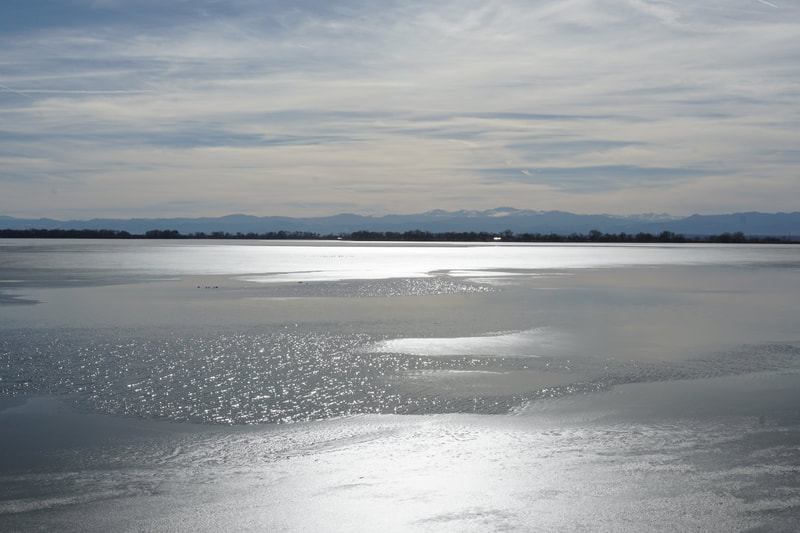
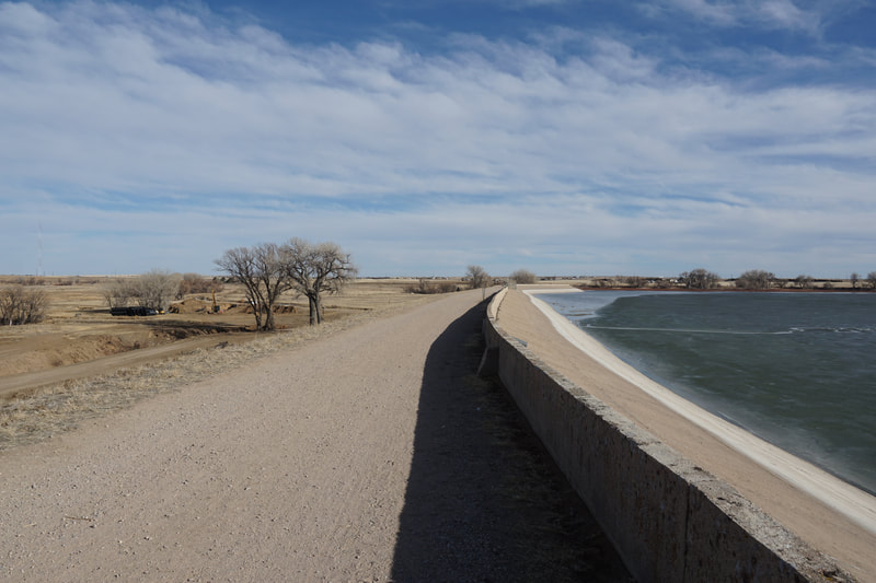
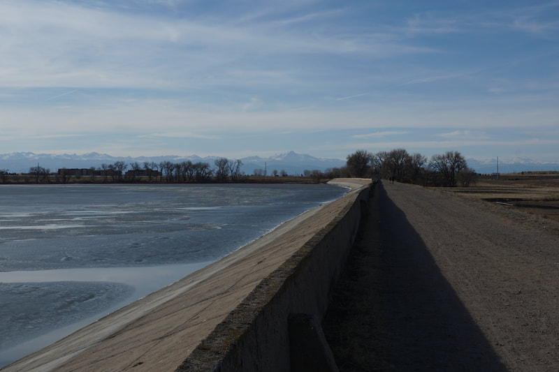
The hike starts from the Bruderlin Stone House Trailhead just south of I-76. The Bruderlin Stone House provides a nature center, picnic area, and a short nature trail loop. However, this hike starts through the gate north of the House area at the northern end of the dam. From the start of the dam, there are two trail options, the Crest Trail on top of the dam and the perimeter trail on the eastern side of the dam. For the big views, hike the Crest Trail. There is not much to say about the hike itself, just walk along the straight trail as long as you want to. If you go almost to the end of the trail, the hike is a bit more than 2.5 miles. Across the lake, you can see the entirety of the Front Range mountains from Longs Peak to the north down to Pikes Peak in the south. In between you are treated to views of Mt. Evans, Grays and Torreys Peaks, the Indian Peaks, the James Peak mountains, Devils Thumb and hundreds of other notable mountains. At just past 1 mile, there is a trail leading down to the plains behind the dam which would allow you to return to the trailhead via the Perimeter Trail (also called the Trail Behind Dam). The Perimeter Trail may be a good trail to return on in the fall when the cottonwoods are golden but otherwise, take the Crest Trail, the views are well worth a second look. |
- HOME
- ABOUT
-
HIKES BY REGION
-
NATIONAL PARK HIKES
- BENT'S OLD FORT NATIONAL HISTORIC SITE
- BLACK CANYON OF THE GUNNISON NATIONAL PARK
- COLORADO NATIONAL MONUMENT
- CURECANTI NATIONAL RECREATION AREA
- DINOSAUR NATIONAL MONUMENT
- FLORISSANT FOSSIL BEDS NATIONAL MONUMENT
- MESA VERDE NATIONAL PARK
- ROCKY MOUNTAIN NATIONAL PARK
- GREAT SAND DUNES NATIONAL PARK
- HOVENWEEP NATIONAL MONUMENT
- SAND CREEK MASSACRE NATIONAL HISTORIC SITE
- YUCCA HOUSE NATIONAL MONUMENT
- HIKES BY CATEGORY
- NEWS
- WEBCAMS
- $UPPORT GHC
- INTERACTIVE MAP
Barr Lake Dam Crest Trail
Barr Lake State Park
Date Hiked: March 7, 2021
Distance: 2.5 mi (RT)
Elevation Gain: minimal
Elevation: 5,125 ft
Managing Agency: CO Division of Parks & Wildlife
Fee: Yes

