|
Directions: From Denver, head south on Hey 285 to Schaffer's Crossing just before Pine Junction. You'll see signs for Staunton State Park. Exit the highway and head north on S. Elk Creek Road, the park will be on the right.
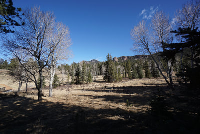
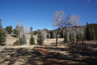
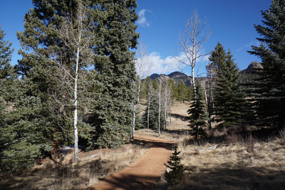
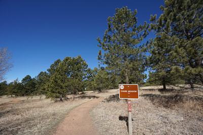
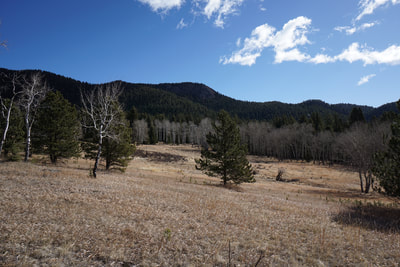
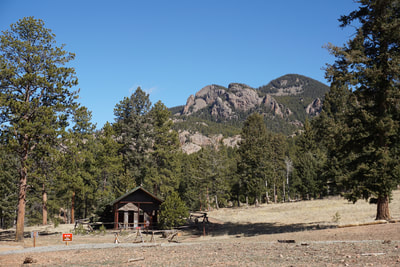
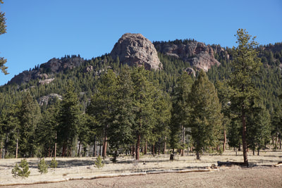
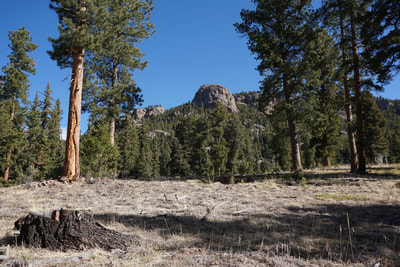
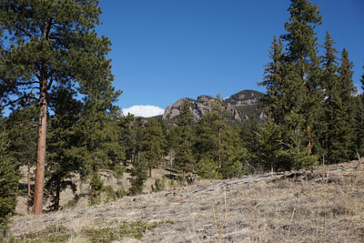
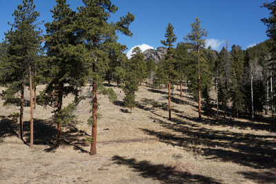
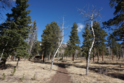
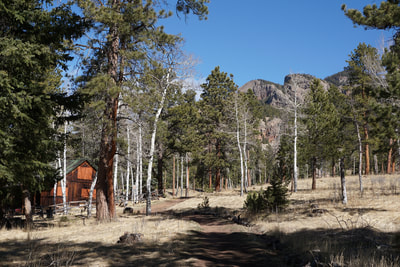
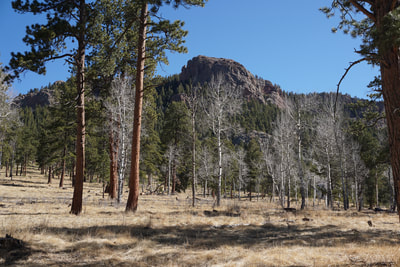
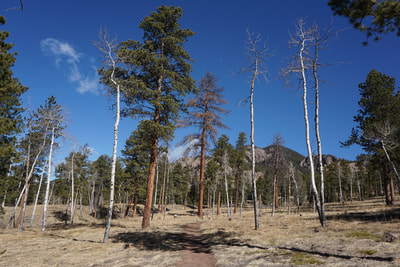
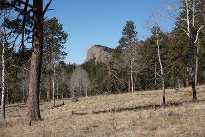
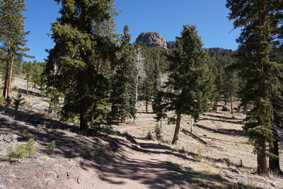
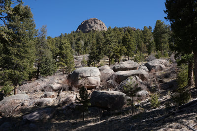
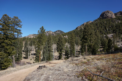
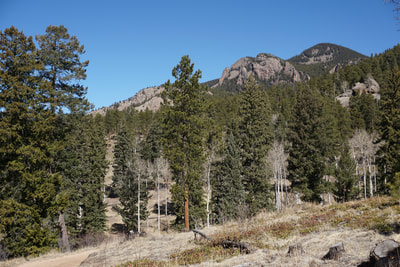
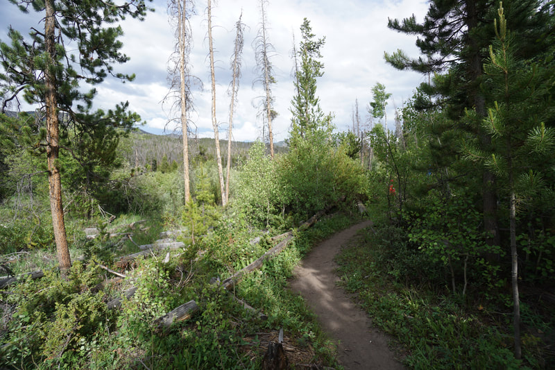
Staunton State Park's Chase Meadow Trail is one of the newest trails in the park and a welcome addition. The majority of the hikes in Staunton are long, 7+ mile hikes. Chase Meadow allows you to make a nice, easy 3 mile loop with the Davis Meadow Trail and the Staunton Ranch Trail. The loop has nice views of towering rock formations, views of the Lost Creek Wilderness Peaks in the distance, and wonderful aspen groves perfect for fall hiking.
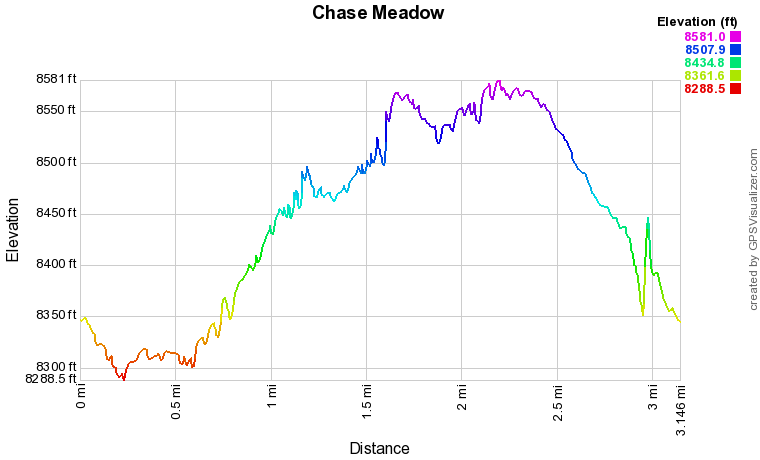
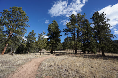
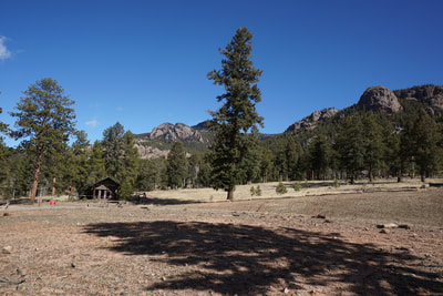
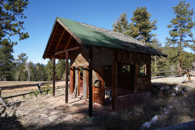
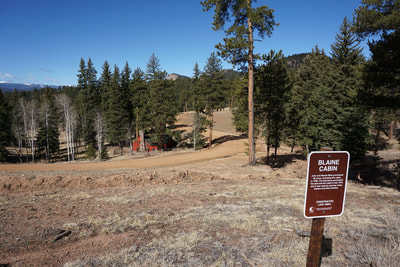
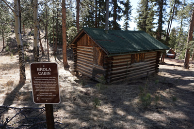
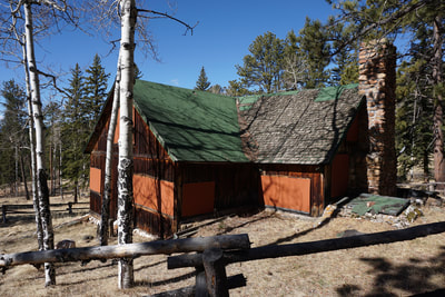
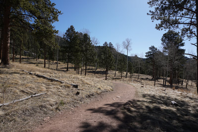
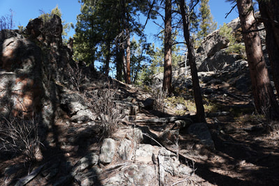
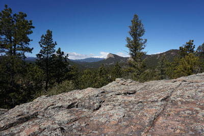
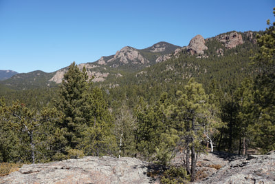
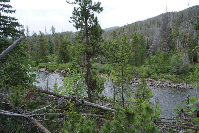
Just before, the Chase Meadow trail intersects with the Staunton Ranch Trail, you can access the park's newest trail, the Historic Cabin District Trail. The HCDT explores the historic part of the park visiting a series of cabins and historic properties that go back to 1920s when Staunton State Park was a working ranch. The properties all have signs with historical information and adds a little education to your recreation. I suggest hiking the loop in a clockwise direction, starting on the Davis Meadow Trail. Hike through aspen groves and meadows for half a mile to the junction with the Chase Meadow Trail. Turn right (north) and start a gentle uphill climb through similar terrain with wonderful views. At the .3 mi mark, you cross a driveway for the Staunton Cabin, and shortly after you'll cross a park service road and a another park service road after that. In another few minutes of hiking you'll reach the junction for the HCDT. Turn left (west) and follow the trail as it dips down into heavily forested gullies and surveys the historic properties. The HCDT is not long and after a half a mile it will intersect with the Staunton Ranch Trail. The Staunton Ranch Trail is the main thoroughfare of the park and will take you back to the parking area, or you can head west and link up with the remainder of the park's trails for longer hikes. Here's a tip, just before returning to the upper parking lot, there is a large rock outcropping. There is an easy way to climb to the top of the rock through a gully in the middle of the formation. After just a little scrambling you'll get an amazing view of the entire park. This adds a wonderful viewpoint to the end of this hike (or the beginning if you follow the route in reverse) and shows all the park's major rock formations including the Staunton Rocks climbing area and the Lion's Head. Its a quick climb and well worth the detour. |
- HOME
- ABOUT
-
HIKES BY REGION
-
NATIONAL PARK HIKES
- BENT'S OLD FORT NATIONAL HISTORIC SITE
- BLACK CANYON OF THE GUNNISON NATIONAL PARK
- COLORADO NATIONAL MONUMENT
- CURECANTI NATIONAL RECREATION AREA
- DINOSAUR NATIONAL MONUMENT
- FLORISSANT FOSSIL BEDS NATIONAL MONUMENT
- MESA VERDE NATIONAL PARK
- ROCKY MOUNTAIN NATIONAL PARK
- GREAT SAND DUNES NATIONAL PARK
- HOVENWEEP NATIONAL MONUMENT
- SAND CREEK MASSACRE NATIONAL HISTORIC SITE
- YUCCA HOUSE NATIONAL MONUMENT
- HIKES BY CATEGORY
- NEWS
- WEBCAMS
- $UPPORT GHC
- INTERACTIVE MAP
Chase Meadow &
Historic Cabin District Trail
Staunton State Park
Date Hiked: April 8, 2018
Distance: 3.0 mi (RT)
Elevation Gain: 434 ft
Elevation Min/Max: 8,289 to 8,581 ft
Trailhead Lat/Long:39º 30' 01" N;105º 22' 41" W
Managing Agency: Colorado Division of Parks & Wildlife
Fee: Yes

