|
Directions: From Denver, take I-25 North to I-76. Take I-76 to U.S. 85 and take U.S. 85 North to Henderson Road. Turn west on Henderson Road and go one mile to the entrance of the park.
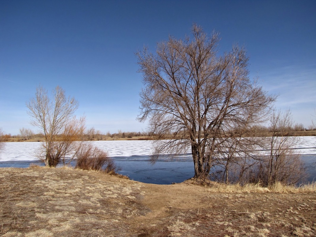
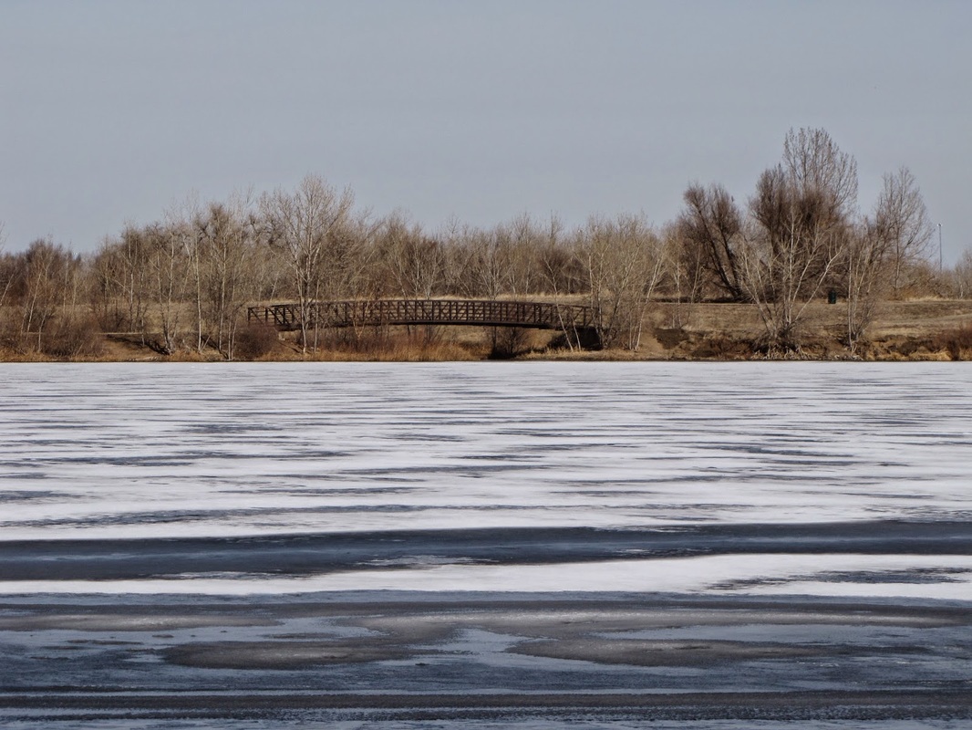
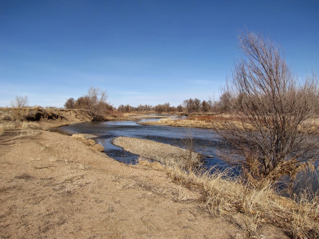
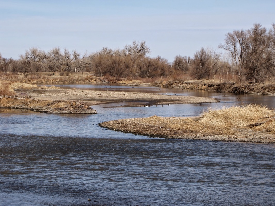
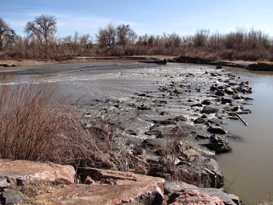
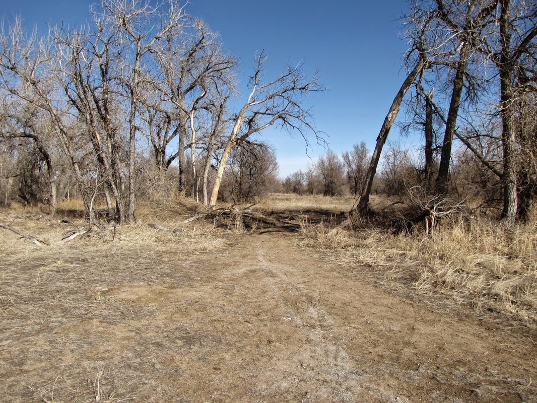
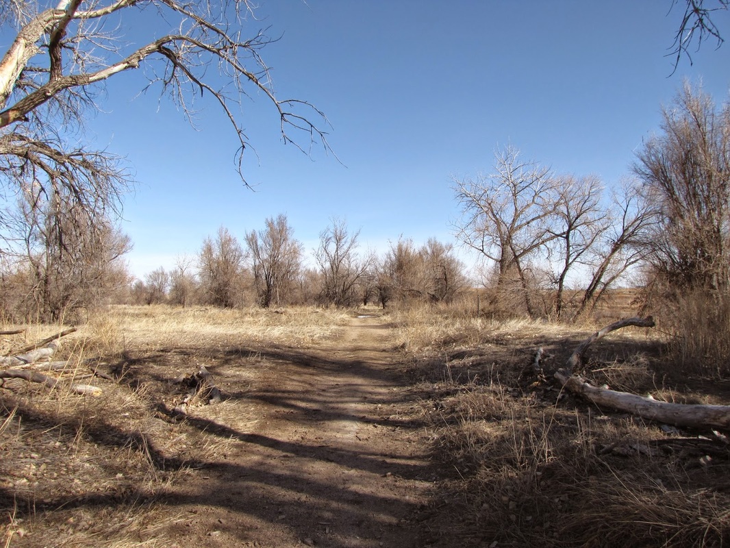
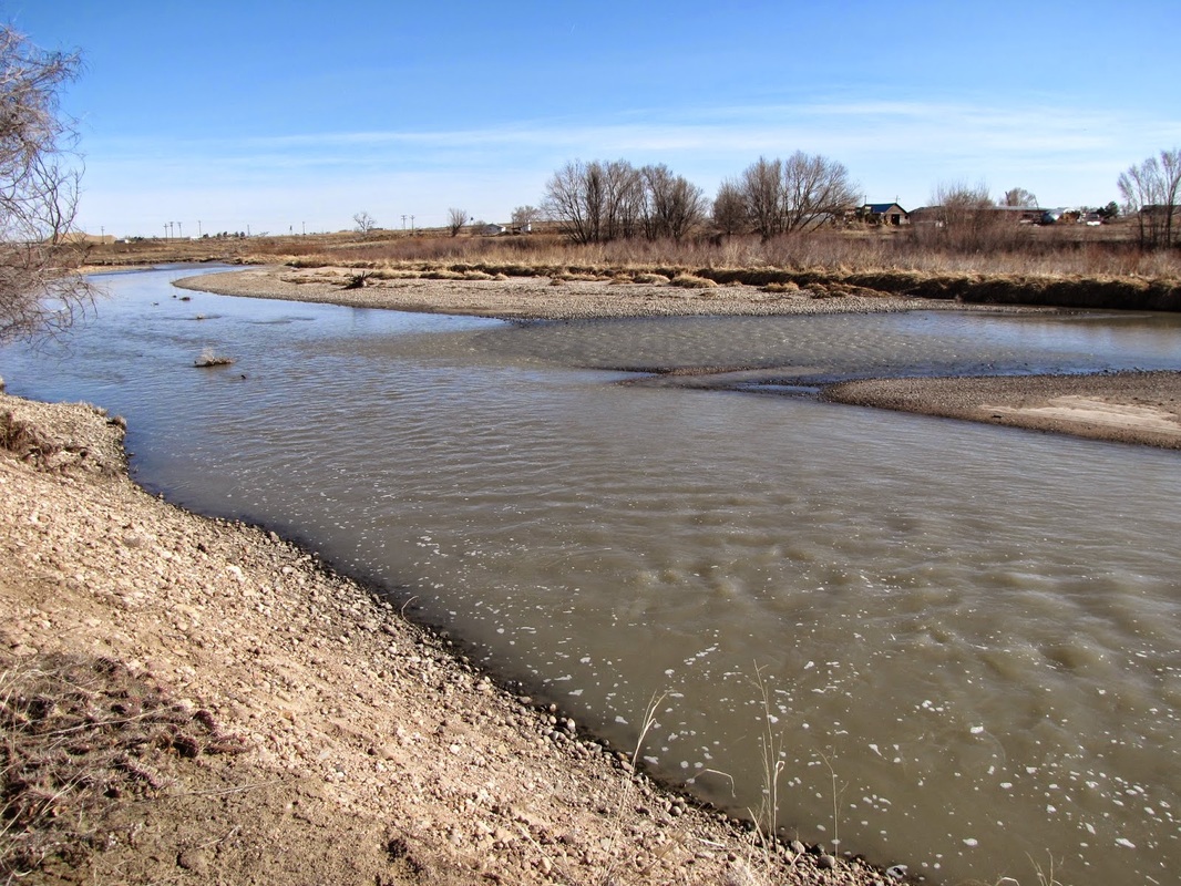
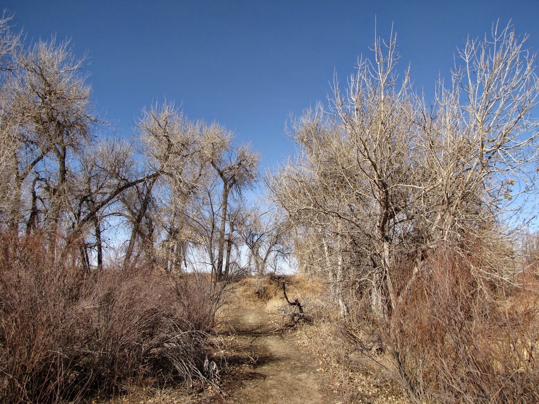
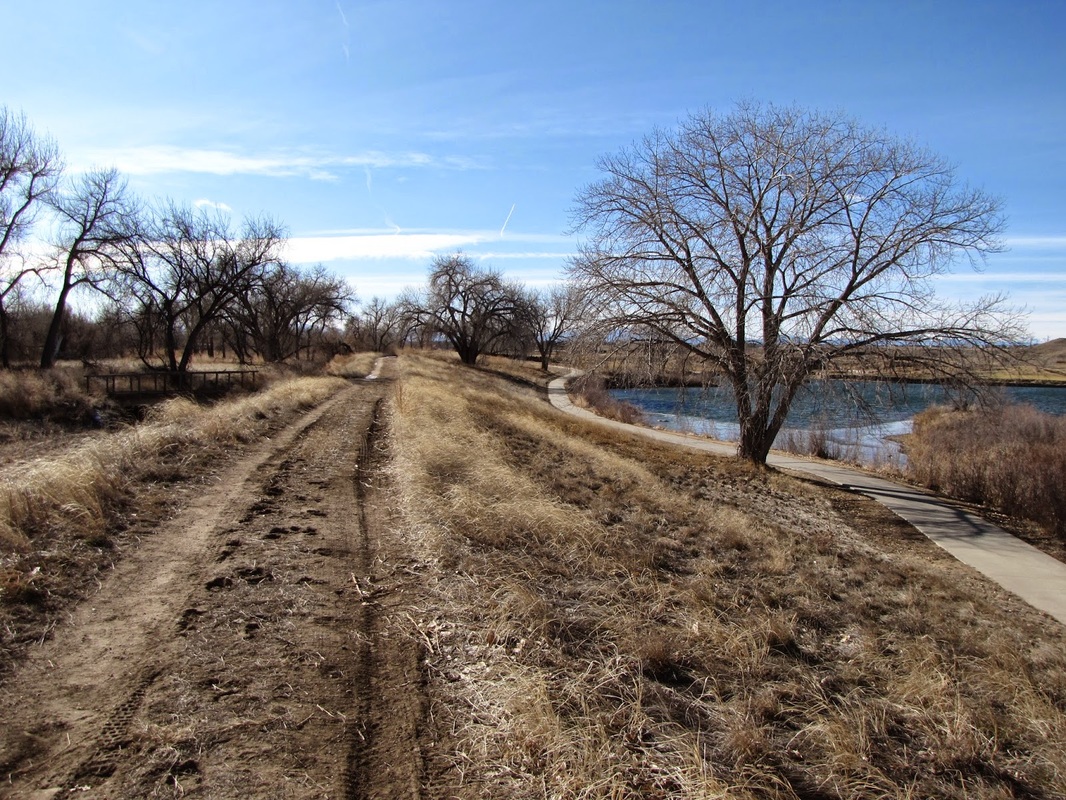
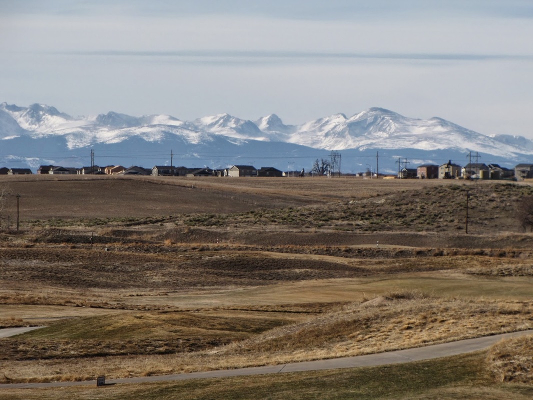
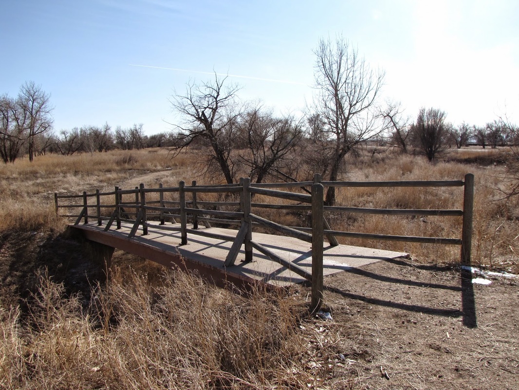
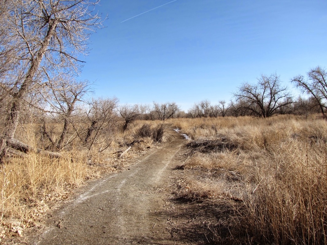
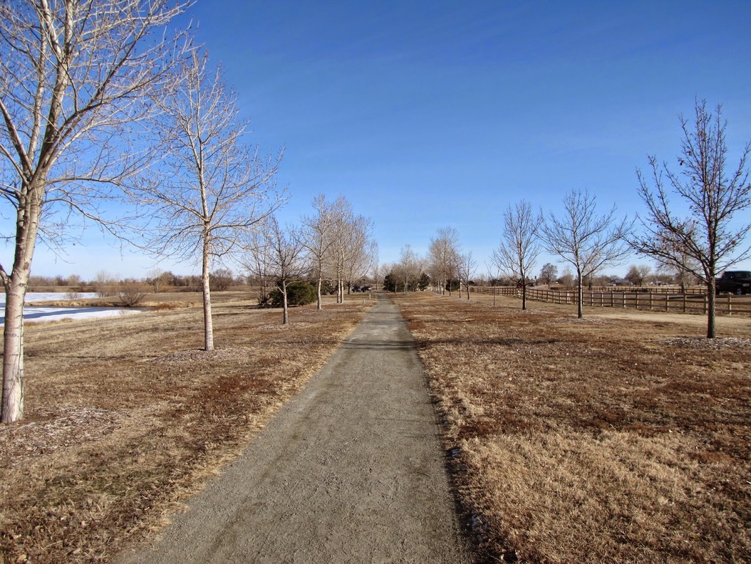
Riverdale Regional Park (formerly known as Adams County Regional Park) contains a nice natural area as a component of the park that parallels the South Platte River. Starting from Henderson Road, the trail loops around Mann-Nyholt Lake along a paved trail. At the northeast corner of the lake the paved trail heads north along the east shore of the park’s second lake. After a short time the trail joins an oxbow of the S. Platte River. At this point the trail enters the nature preserve area and your walk in the park starts to feel more like a hike. The hike through the preserve has a nice blend of wooded areas and riparian habitat along the river. At the far end of the preserve, cross a small footbridge and the paved South Platte River Trail will come into view. The natural surface trail will parallel the paved trail for a little ways here, but if you don't want to explore more of the Platte, turn left on the natural surface trail and reenter the preserve at the western end. Once through the preserve head back on the paved trails and this time cross a bridge to complete the lake loop and return to the parking area. This park has a nice mix of activities, the walking and the nature preserve provide a nice easy hike and there are tremendous views of Front Range mountains for much of the hike. The lake are scenic and there are number of other facilities to compliment your hiking experience. |
|
- HOME
- ABOUT
-
HIKES BY REGION
-
NATIONAL PARK HIKES
- BENT'S OLD FORT NATIONAL HISTORIC SITE
- BLACK CANYON OF THE GUNNISON NATIONAL PARK
- COLORADO NATIONAL MONUMENT
- CURECANTI NATIONAL RECREATION AREA
- DINOSAUR NATIONAL MONUMENT
- FLORISSANT FOSSIL BEDS NATIONAL MONUMENT
- MESA VERDE NATIONAL PARK
- ROCKY MOUNTAIN NATIONAL PARK
- GREAT SAND DUNES NATIONAL PARK
- HOVENWEEP NATIONAL MONUMENT
- SAND CREEK MASSACRE NATIONAL HISTORIC SITE
- YUCCA HOUSE NATIONAL MONUMENT
- HIKES BY CATEGORY
- NEWS
- WEBCAMS
- $UPPORT GHC
- INTERACTIVE MAP
Riverdale Regional Park
South Platte River Trail & Park Loops
Date Hiked: January 28, 2012
Distance: 4 mi (RT)
Elevation Gain: Negligible
Elevation Min/Max: 4,954 to 5,031ft
Managing Agency: Adams County Parks
Fee: None