|
|
|
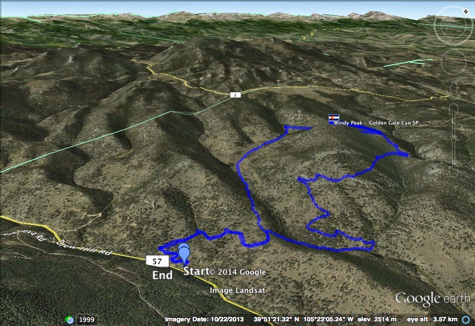
Directions: Fron Denver, take I-70 W to 58 W. Turn north onto Hwy 93 and west on Golden Gate Canyon Road. in about 9 miles you'll reach the park entrance and visitor center (Fee Required). Turn north on Drew Hill Road (53) and after a few miles you'll see the Burro Trailhead on the left, start here.
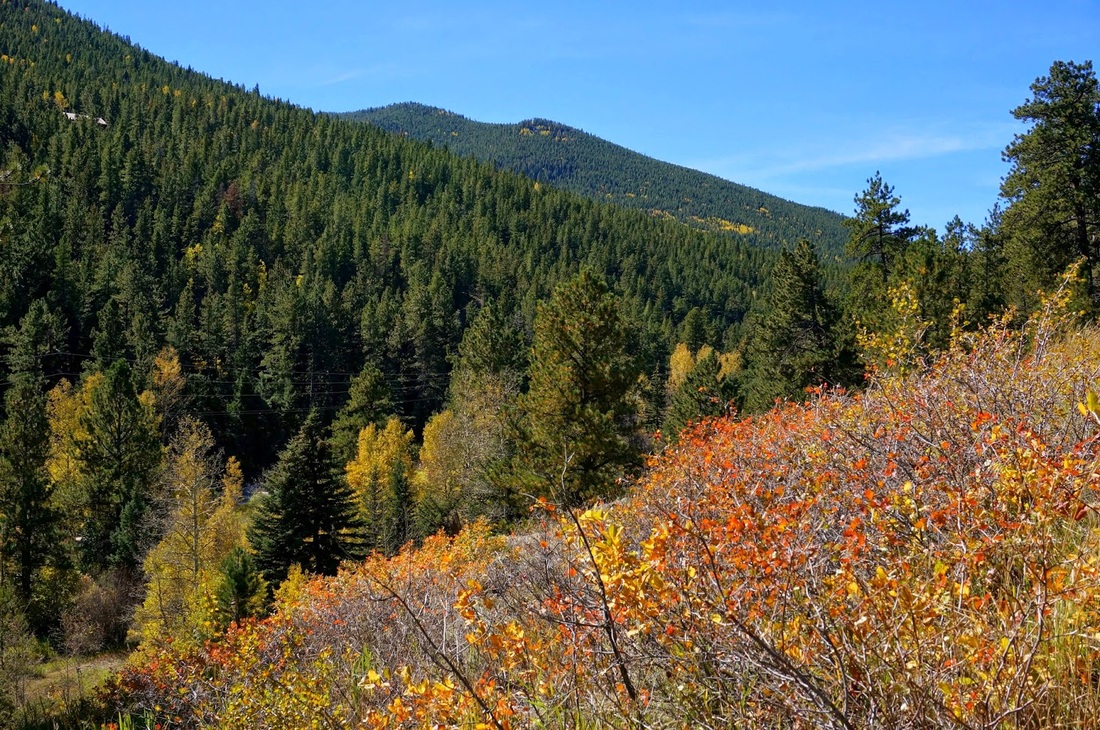
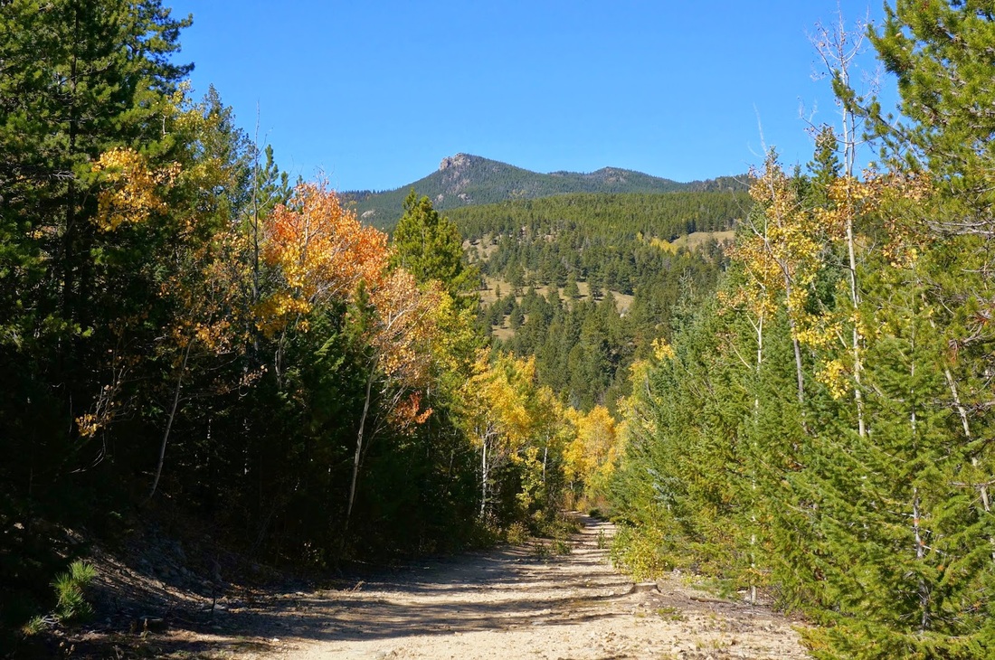
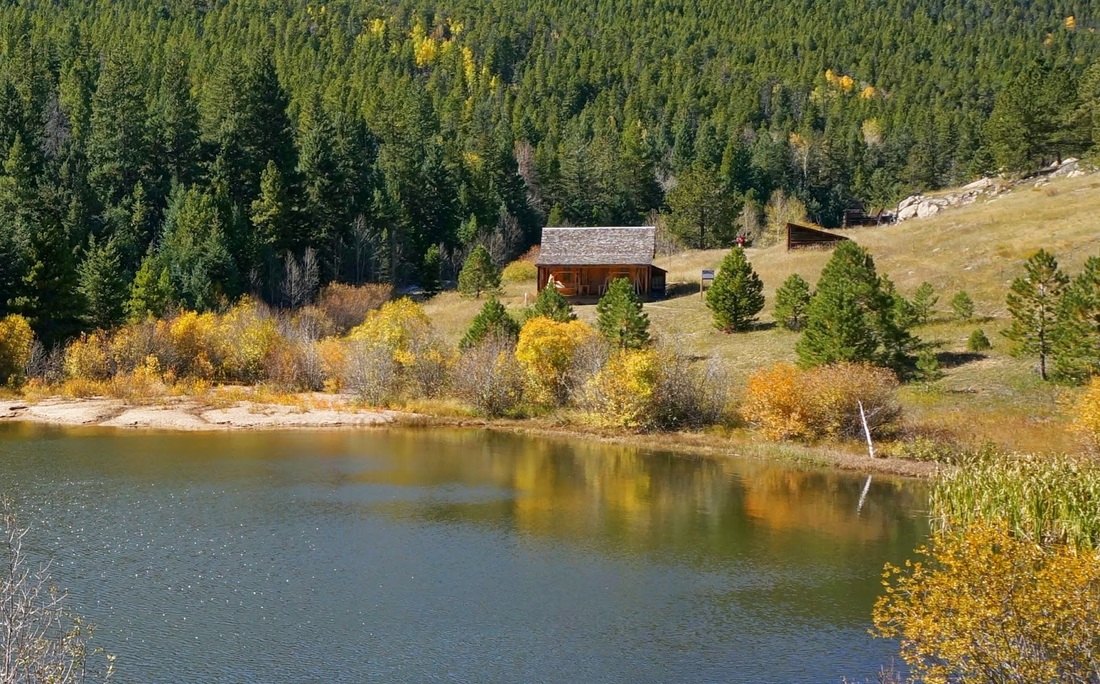
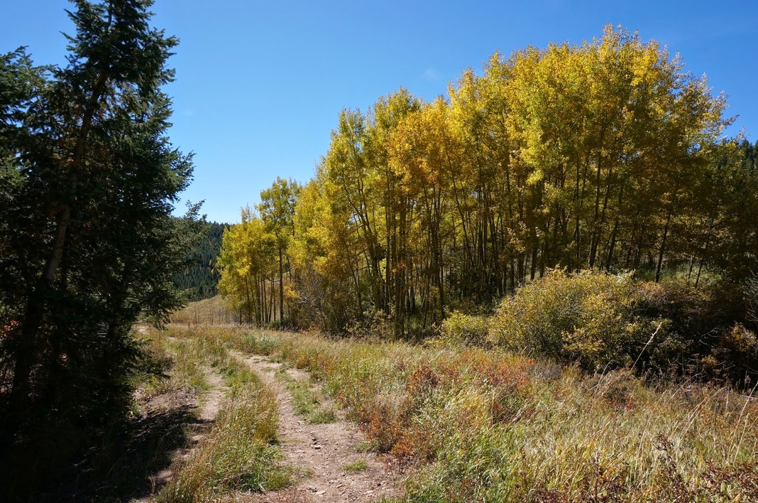
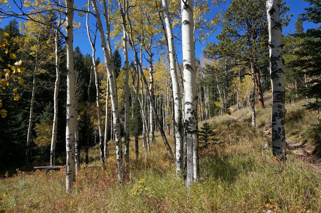
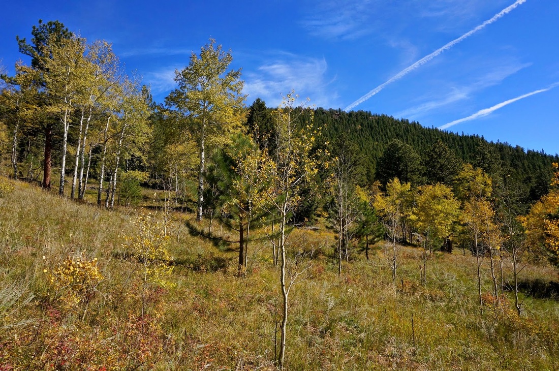
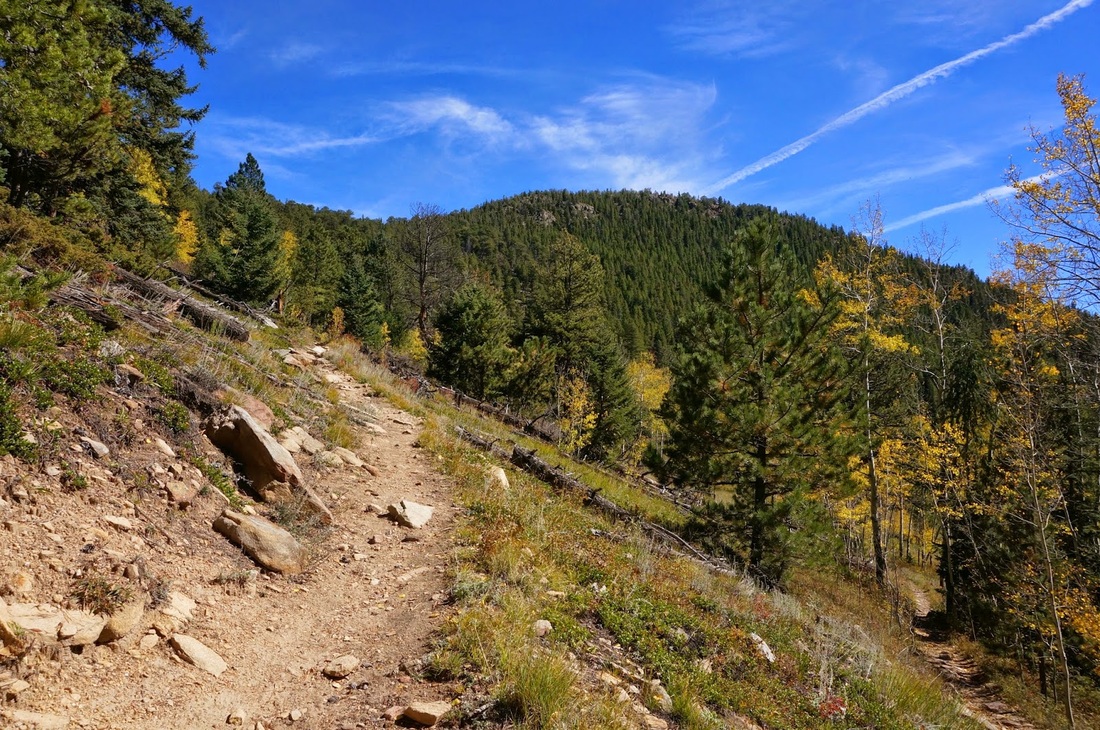
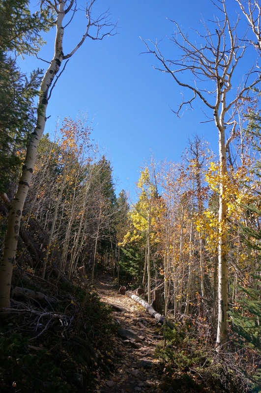
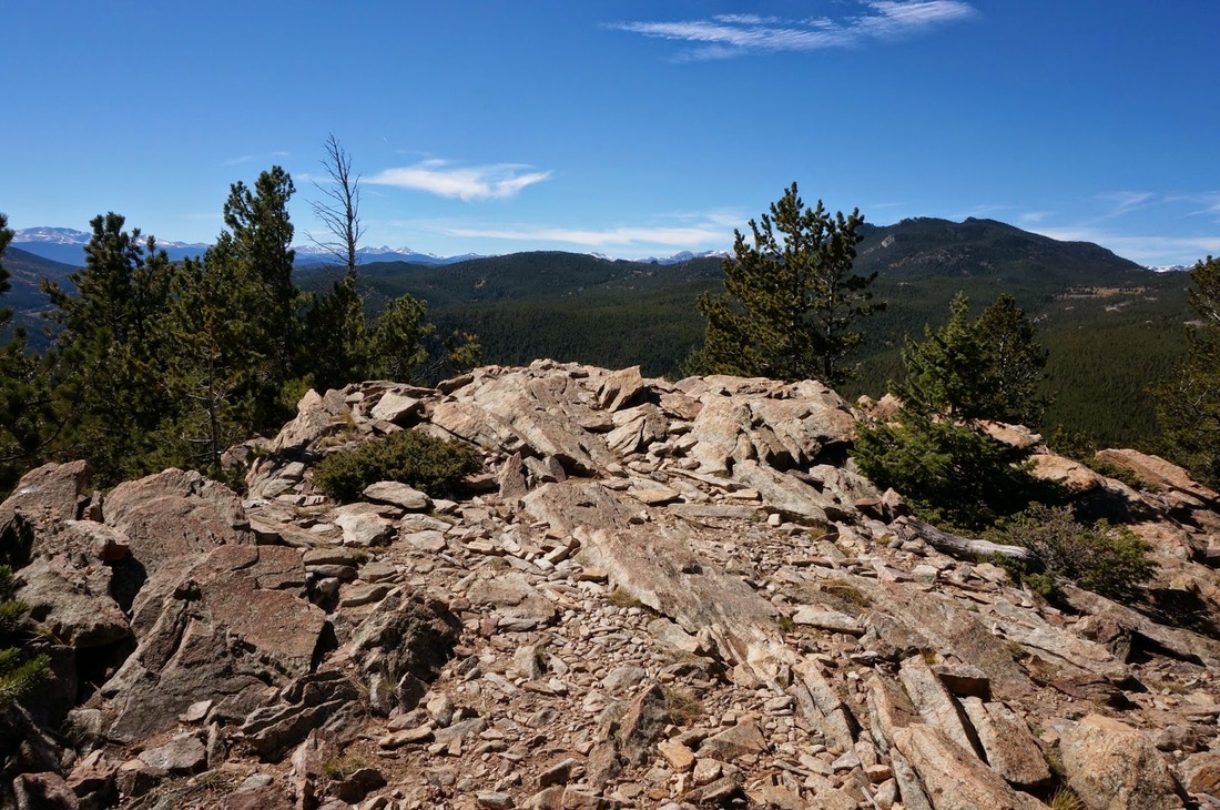
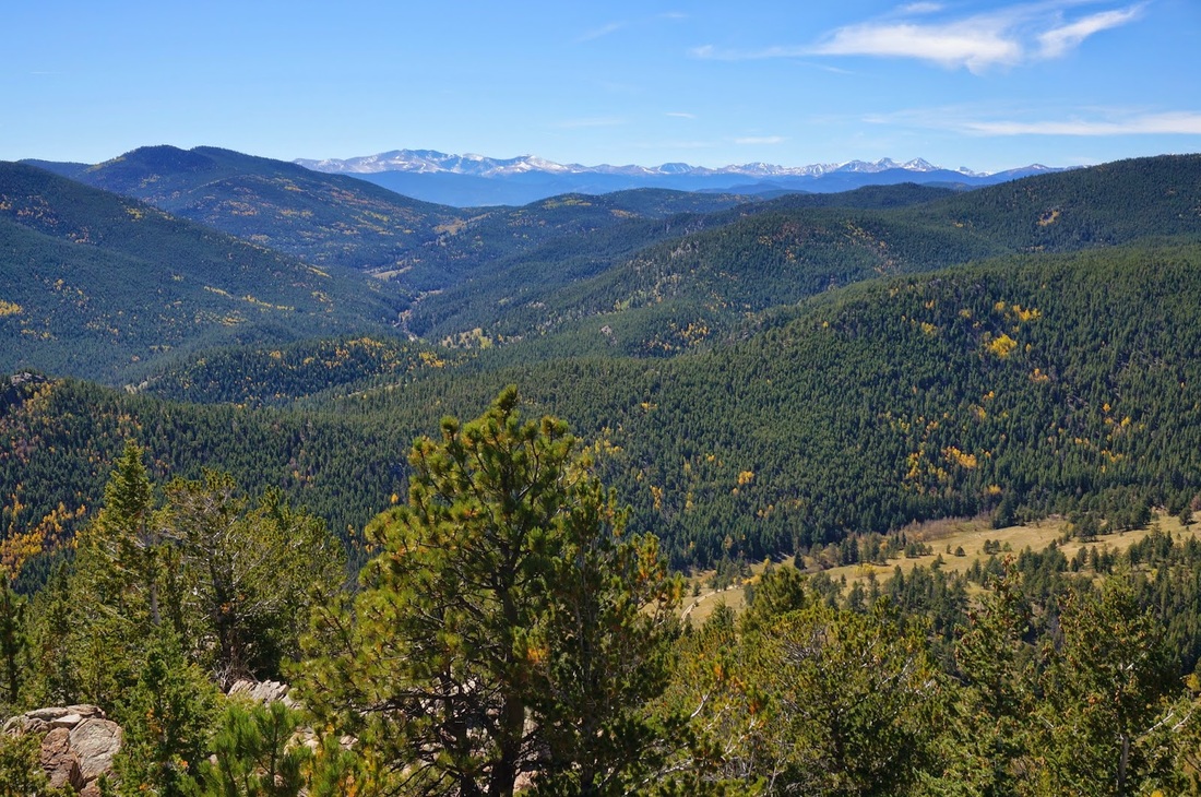
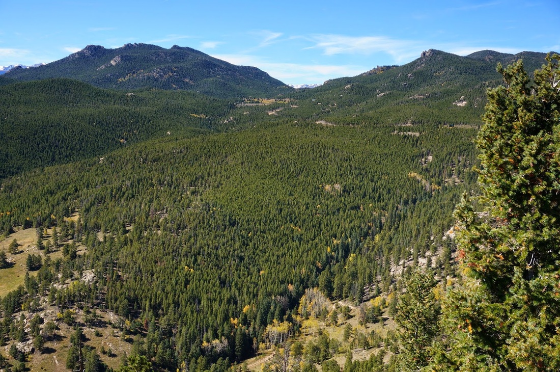
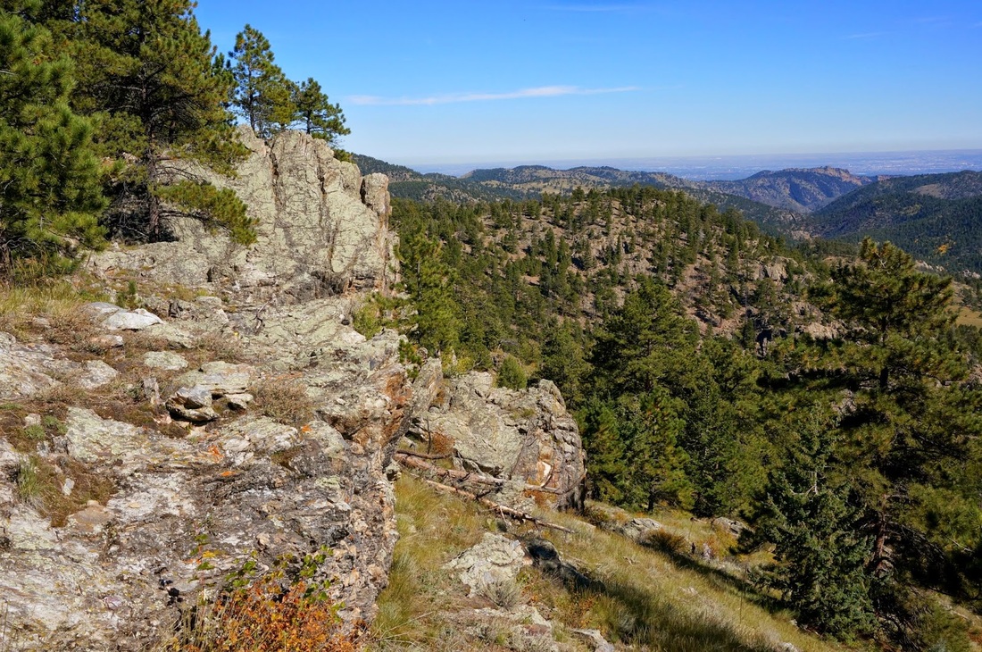
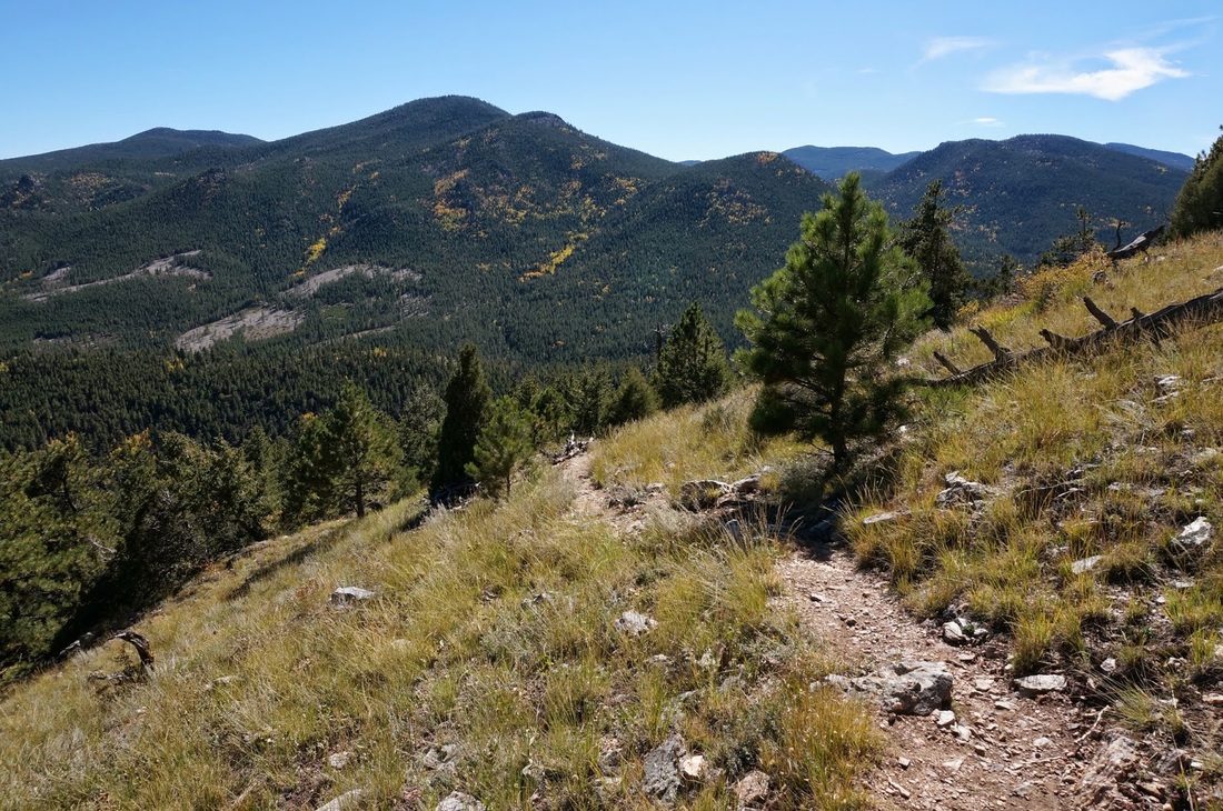
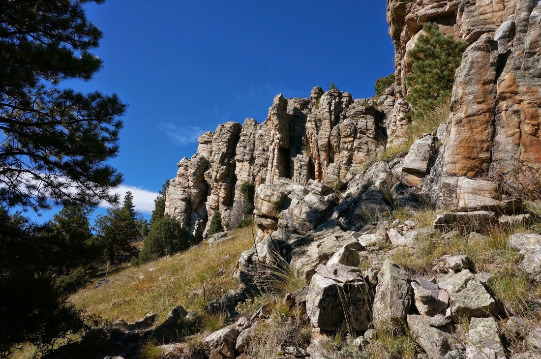
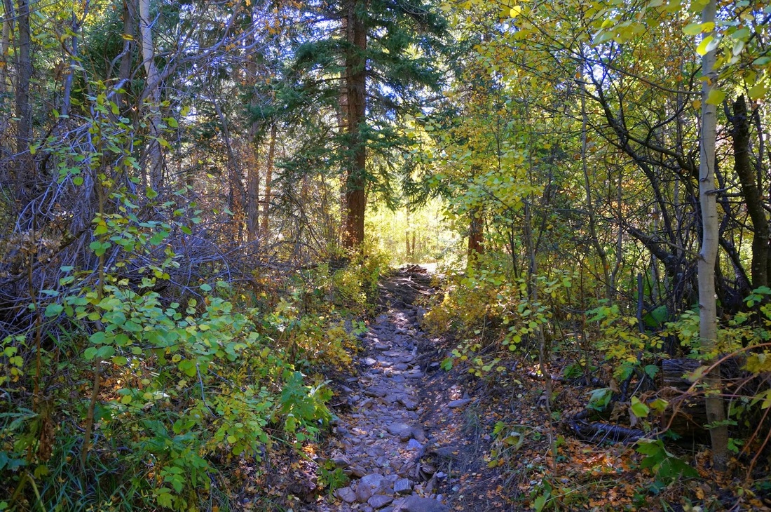
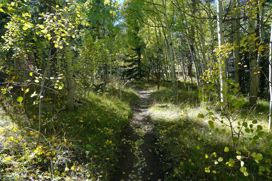
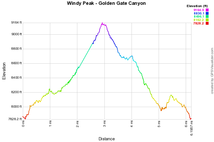
Windy Peak is a forested peak with a rock outcropping offering a terrific view of the Park with the high peaks along the Continental Divide as a backdrop. You can get there via the Mountain Lion Trail, the Burro Trail, or a combination of the two. This description is a combination as the western portion of the Mountain Lion trail was closed at the time. Either way you go, the hike has a little of everything; evergreen forests, aspen forests (beautiful in the Fall), open meadows, rock formations, etc... Start on the Burro Trail as it meanders and switchbacks. At the trail junction make a left onto the Mountain Lion Trail. This trail climbs up the ridge, drops to a meadow with a pond and historic building, and then climbs steadily up to the far side of Windy Peak. After you've gain most of your elevation, you'll be in a thick evergreen forest, make a right on the Windy Peak Trail and gain the summit. From the outcropping you get a tremendous view, this is a great place to rest, eat, and relax. Head back down the Windy Peak Trail and here you have a choice, turn left to get back to the Mountain Lion Trail, or go right to descend via the Burro Trail. The Burro Trail will get you back to the trailhead much faster, the Mountain Lion Trail will provide a long day hike back to your car. Descending the Burro trail also gives you another choice when you get to the next trail junction, the direct route is to the right, or you can go left and take the outer portion of the Burro Loop. Going right will take you down along the side of the mountain, past some thrilling cliffs and rock formations, down to Nott Creek, up again through the forest and finally back down to the trailhead. This is a beautiful and moderately strenuous hike that will have you coming back to the park for more. Go in the Fall when the temps are down and the trees are golden, you'll be glad that you did. |
|