GO HIKE COLORADO
Get in Touch:
  • HOME
  • ABOUT
  • HIKES BY REGION
    • DENVER AREA >
      • Denver Mountain Parks
      • Jefferson County Open Space
      • Lakewood Parks
      • Denver Area Greenways
    • BOULDER AREA
    • DOUGLAS COUNTY
    • FORT COLLINS AREA
    • COLORADO SPRINGS AREA
    • FRONT RANGE
    • TENMILE & MOSQUITO RANGES
    • GORE RANGE
    • SANGRE DE CRISTO MOUNTAINS
    • PARK RANGE
    • SAWATCH RANGE
    • ELK MOUNTAINS
    • SAN JUAN MOUNTAINS
    • THE FLAT TOPS
    • GRAND MESA
    • COLORADO PLATEAU
    • EASTERN PLAINS
  • NATIONAL PARK HIKES
    • BENT'S OLD FORT NATIONAL HISTORIC SITE
    • BLACK CANYON OF THE GUNNISON NATIONAL PARK
    • COLORADO NATIONAL MONUMENT
    • CURECANTI NATIONAL RECREATION AREA
    • DINOSAUR NATIONAL MONUMENT
    • FLORISSANT FOSSIL BEDS NATIONAL MONUMENT
    • MESA VERDE NATIONAL PARK
    • ROCKY MOUNTAIN NATIONAL PARK
    • GREAT SAND DUNES NATIONAL PARK
    • HOVENWEEP NATIONAL MONUMENT
    • SAND CREEK MASSACRE NATIONAL HISTORIC SITE
    • YUCCA HOUSE NATIONAL MONUMENT
  • HIKES BY CATEGORY
    • HIKES TO ALPINE LAKES
    • HIKES TO PEAKS & PASSES
    • HIKES THROUGH CANYONS
    • HIKES WITH FALL COLORS
    • HIKES ALONG THE I-70 CORRIDOR
    • HIKES ON PAVED TRAILS
    • HIKES FOR KIDS
    • HIKES TO WATERFALLS
    • HIKES ALONG RIVERS
    • HIKES WITH ROCK FORMATIONS
    • HIKES WITH WILDFLOWERS
    • WINTER HIKES
  • NEWS
  • WEBCAMS
  • $UPPORT GHC
  • INTERACTIVE MAP

Havana Ponds
Rocky Mountain Arsenal National Wildlife Refuge

Date Hiked: December 7, 2014

​Distance: 2 mi (RT)
Elevation Gain: 120ft
Elevation Min/Max: 5,229 to 5,259ft
Managing Agency: U.S. Fish & Wildlife Service
Fee: None

Rocky Mt. Arsenal NWR Trail Map
Picture

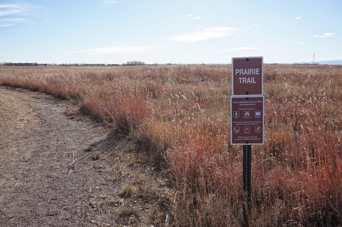
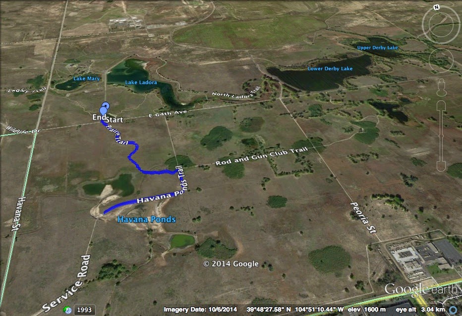
Directions:  From Denver head east on I-70 and exit onto Quebec Street.  Turn left to head north on Quebec.  Turn right on Prairie Parkway and left on Gateway Road.  Follow Gateway Road into the park and bear right onto Wildlife Drive.  Follow the signs to the lakes area and once you pass the 4 way intersection with Havana Street/Wildlife Drive, look to the left for the parking area sign.  Park here but cross Wildlife Drive to the Prairie trailhead on the south side of Wildlife Drive.

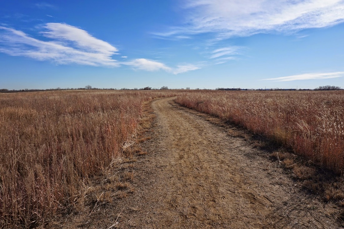
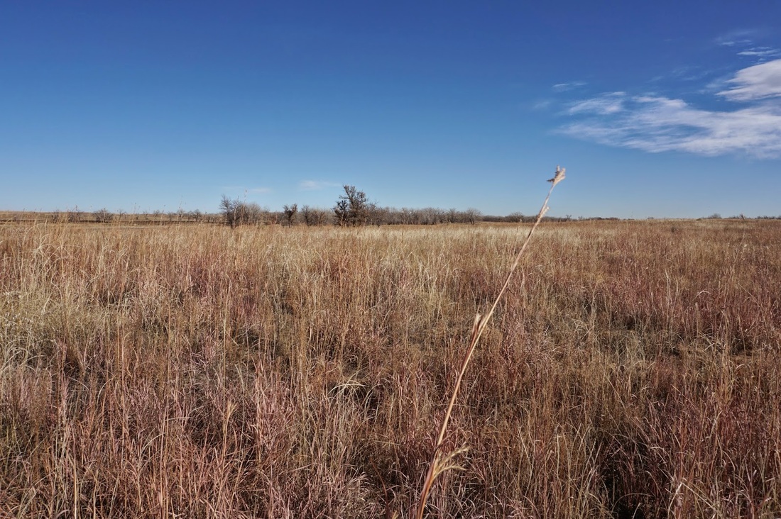
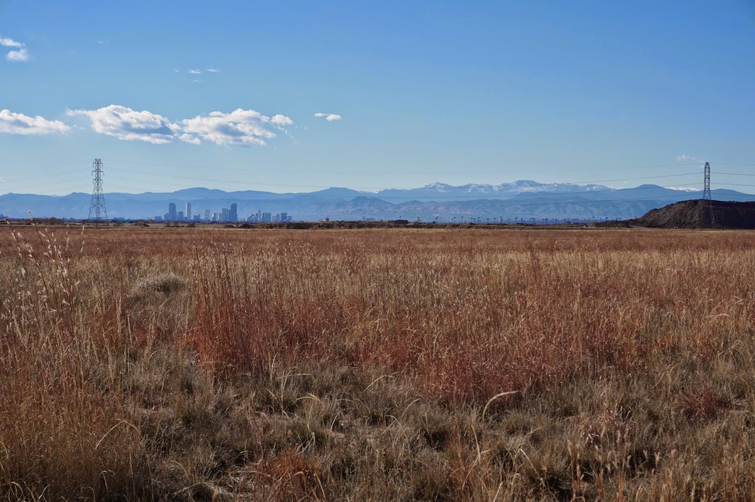
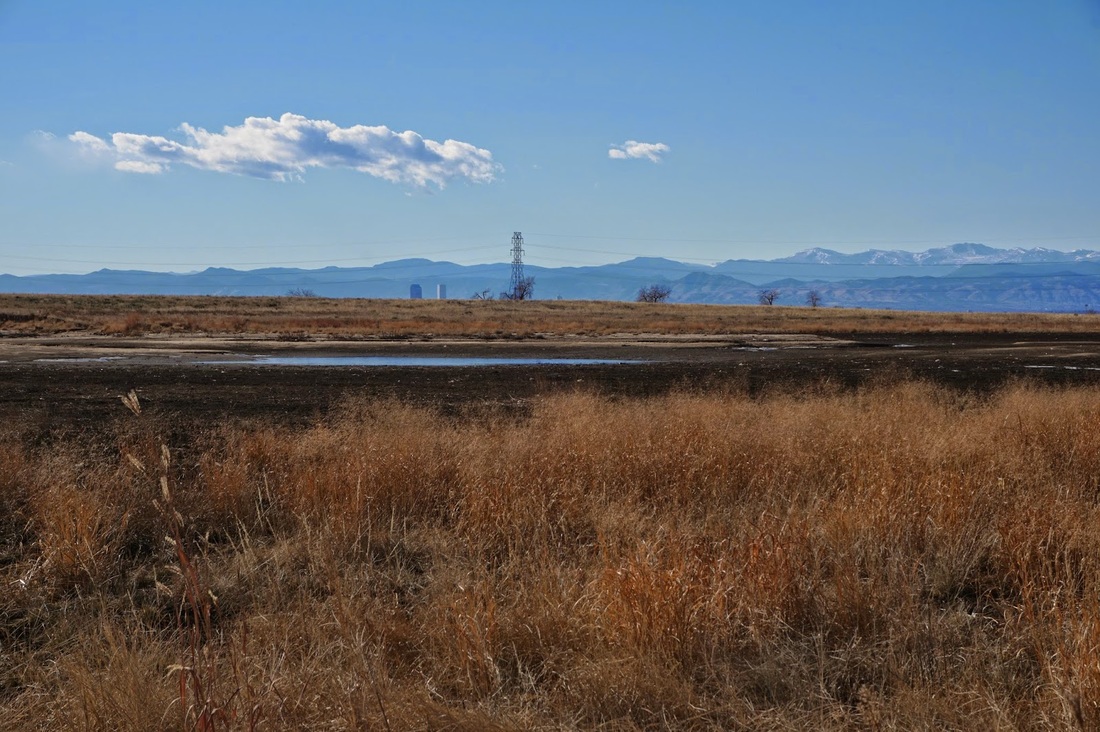
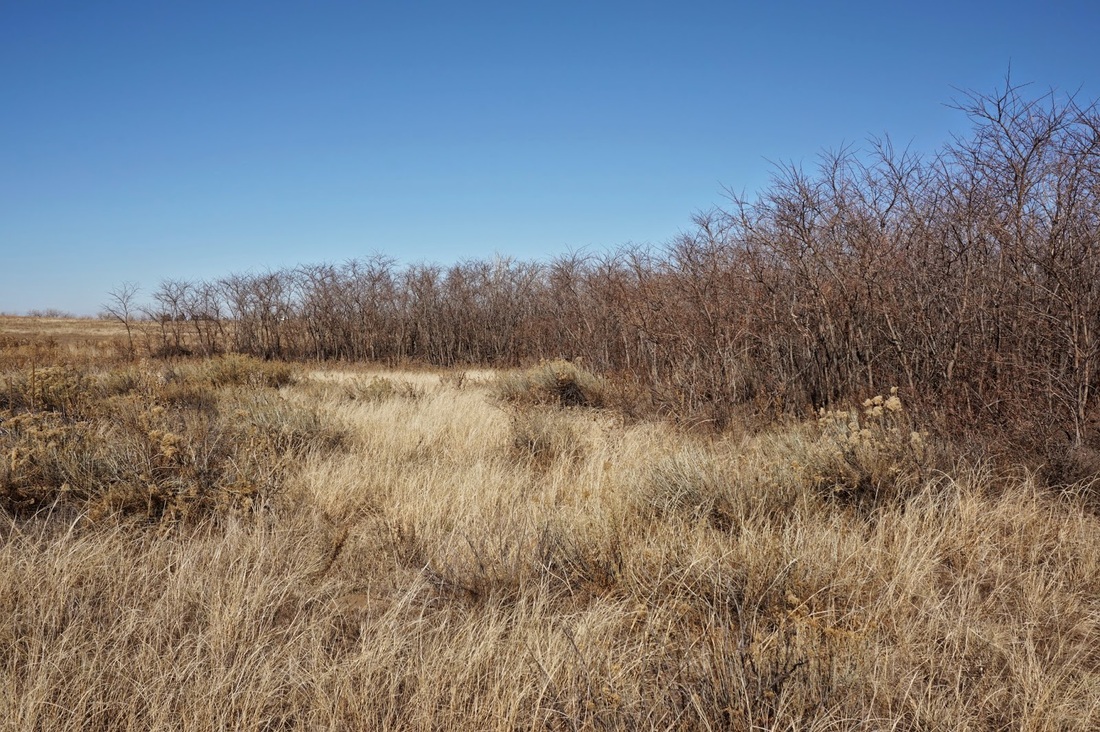
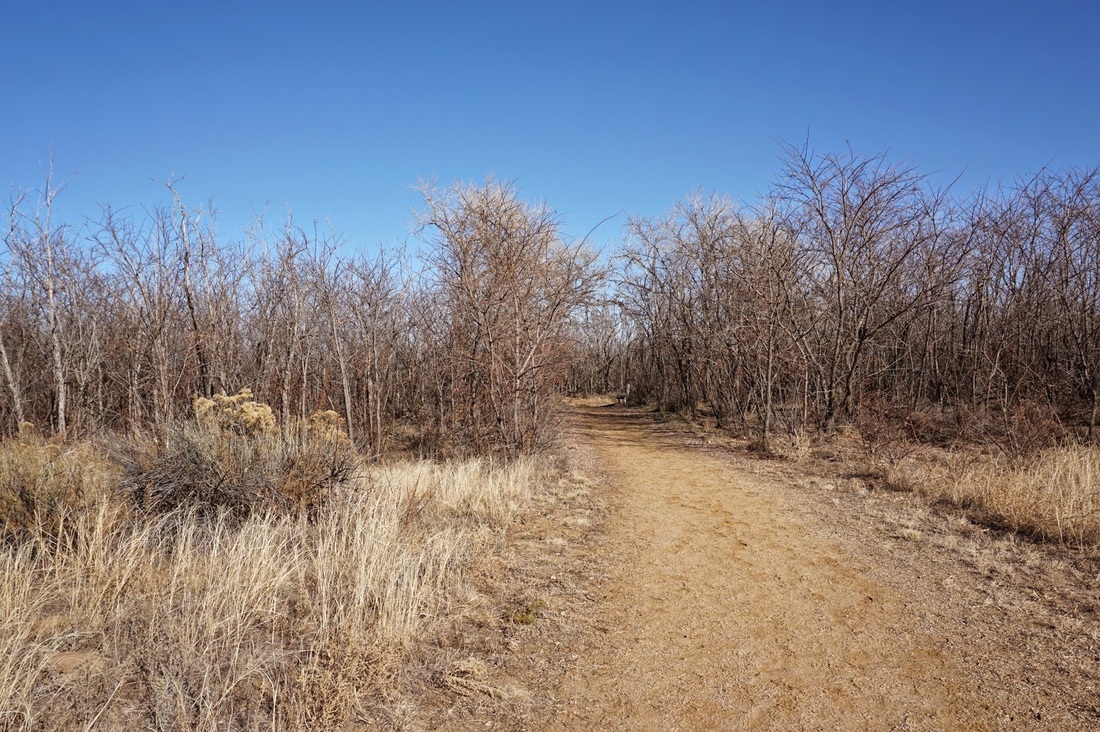
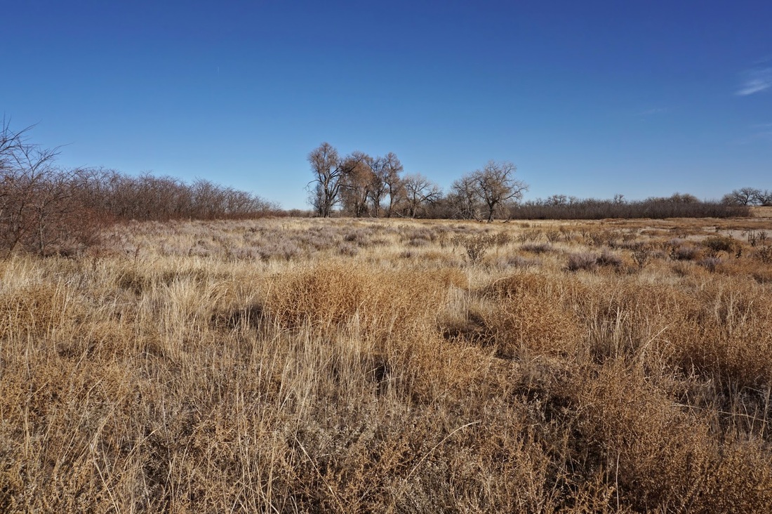
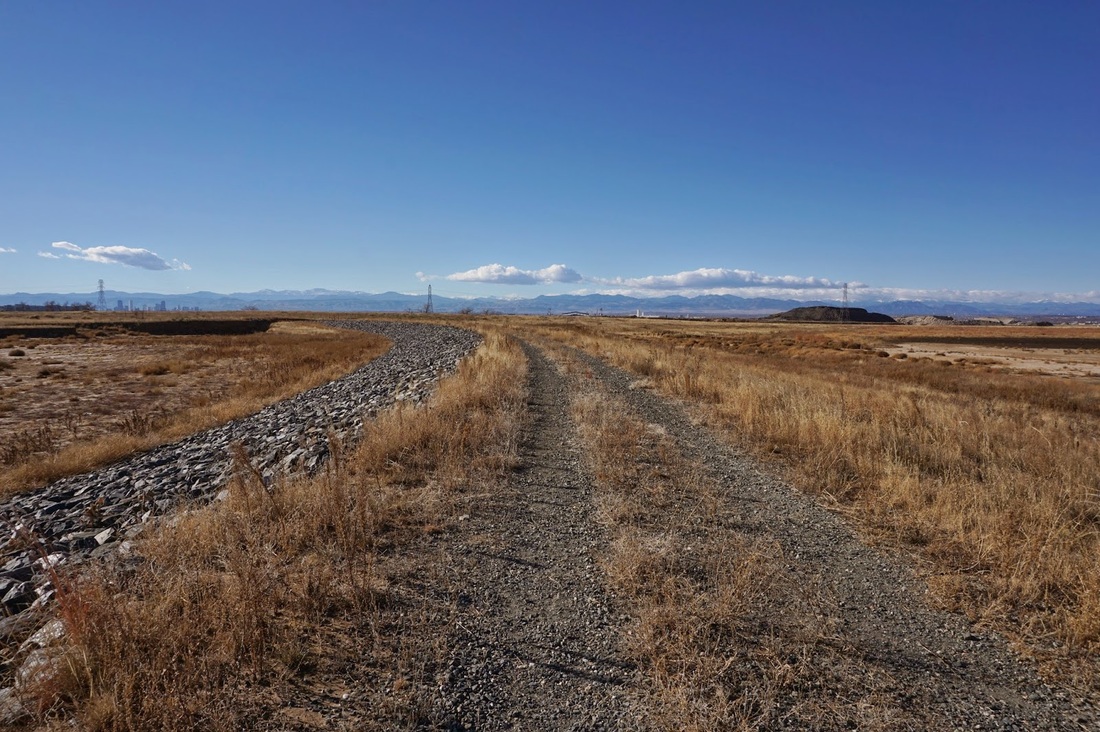
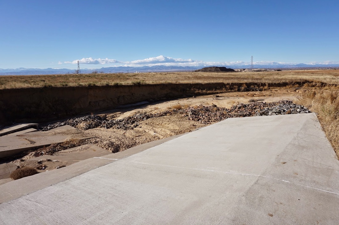
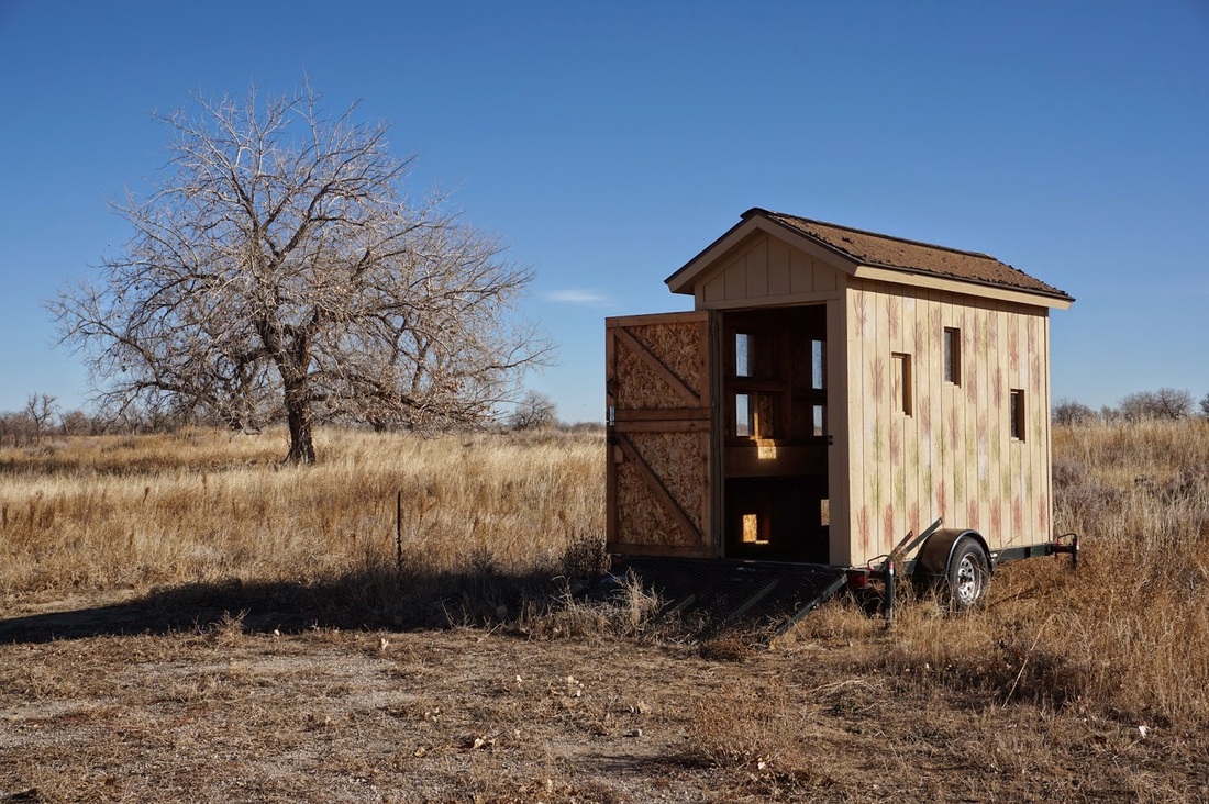
The hike to Havana Ponds is a short but pleasant stroll along the prairie.  The grasses are high and views are expansive.  Follow Prairie Trail for .6 miles to a dense thicket of thorny trees.  In the midst of the thicket is a trail sign, turn right towards Havana Ponds.  In .2 miles you’ll come to a wildlife blind on a trailer and the trail becomes a gravel road across the berm of a retention pond.  Most likely, there will be no water in the pond rather a small stream cutting through the dry bed.  The trail ends at the far end of the ponds at a dangerous looking ravine and a collapsed road.

Havana Ponds is not the most scenic trail in the Refuge but it is an easy walk and when the prairie breezes are blowing it can be a very pleasant experience.  You’ll have many opportunities for wildlife viewing and few people along this seldom visited area.  Try the Lake Ladora, Bluestem, or Rod and Gun Club Trails for a more scenic experience.
© Go Hike Colorado, 2020.  All Rights Reserved. 
Use of photographs without prior authorization is
​strictly prohibited.


Contact us at:
[email protected]
Legal Disclaimer - Information provided on this site is based upon our own observations, always double check information with the appropriate land management agency before heading into the backcountry.  Backcountry travel is inherently dangerous, please take all proper precautions.  Go Hike Colorado is not responsible for injury or incident.