GO HIKE COLORADO
Get in Touch:
  • HOME
  • ABOUT
  • HIKES BY REGION
    • DENVER AREA >
      • Denver Mountain Parks
      • Jefferson County Open Space
      • Lakewood Parks
      • Denver Area Greenways
    • BOULDER AREA
    • DOUGLAS COUNTY
    • FORT COLLINS AREA
    • COLORADO SPRINGS AREA
    • FRONT RANGE
    • TENMILE & MOSQUITO RANGES
    • GORE RANGE
    • SANGRE DE CRISTO MOUNTAINS
    • PARK RANGE
    • SAWATCH RANGE
    • ELK MOUNTAINS
    • SAN JUAN MOUNTAINS
    • THE FLAT TOPS
    • GRAND MESA
    • COLORADO PLATEAU
    • EASTERN PLAINS
  • NATIONAL PARK HIKES
    • BENT'S OLD FORT NATIONAL HISTORIC SITE
    • BLACK CANYON OF THE GUNNISON NATIONAL PARK
    • COLORADO NATIONAL MONUMENT
    • CURECANTI NATIONAL RECREATION AREA
    • DINOSAUR NATIONAL MONUMENT
    • FLORISSANT FOSSIL BEDS NATIONAL MONUMENT
    • MESA VERDE NATIONAL PARK
    • ROCKY MOUNTAIN NATIONAL PARK
    • GREAT SAND DUNES NATIONAL PARK
    • HOVENWEEP NATIONAL MONUMENT
    • SAND CREEK MASSACRE NATIONAL HISTORIC SITE
    • YUCCA HOUSE NATIONAL MONUMENT
  • HIKES BY CATEGORY
    • HIKES TO ALPINE LAKES
    • HIKES TO PEAKS & PASSES
    • HIKES THROUGH CANYONS
    • HIKES WITH FALL COLORS
    • HIKES ALONG THE I-70 CORRIDOR
    • HIKES ON PAVED TRAILS
    • HIKES FOR KIDS
    • HIKES TO WATERFALLS
    • HIKES ALONG RIVERS
    • HIKES WITH ROCK FORMATIONS
    • HIKES WITH WILDFLOWERS
    • WINTER HIKES
  • NEWS
  • WEBCAMS
  • $UPPORT GHC
  • INTERACTIVE MAP

Bluestem Loop
Rocky Mountain Arsenal National Wildlife Refuge

Date Hiked: July 23, 2013

Distance: 1.8 mi (RT)

  • Elevation Gain: Negligible
  • Elevation Start: 5,271 ft
  • Managing Agency: U.S. Fish & Wildlife Service
  • Fee: None

Rocky Mt. Arsenal NWR Map
Picture

Directions:  From Denver, take I-70 east to the Quebec/Northfield Exit.  Head North on Quebec and make a right onto Prairie Parkway (there are signs to the refuge).  Turn left onto Gateway Road and enter the gates to the park.  Follow this road to the Visitor's Center and head south to 6th Ave.  Follow 6th Ave, Wildlife Drive, east until it becomes a good dirt road and the road dead ends.  The parking area and trailhead are on the right.

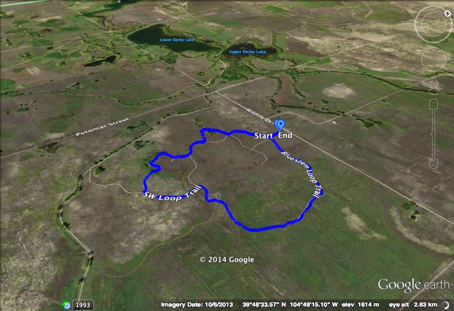
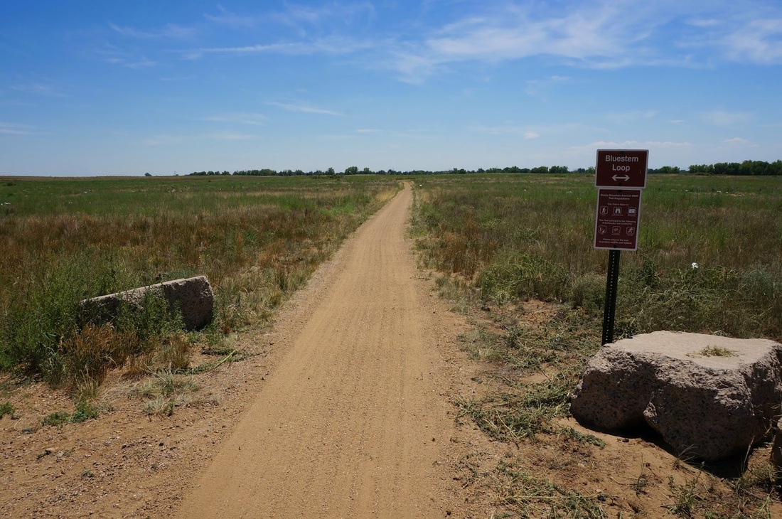
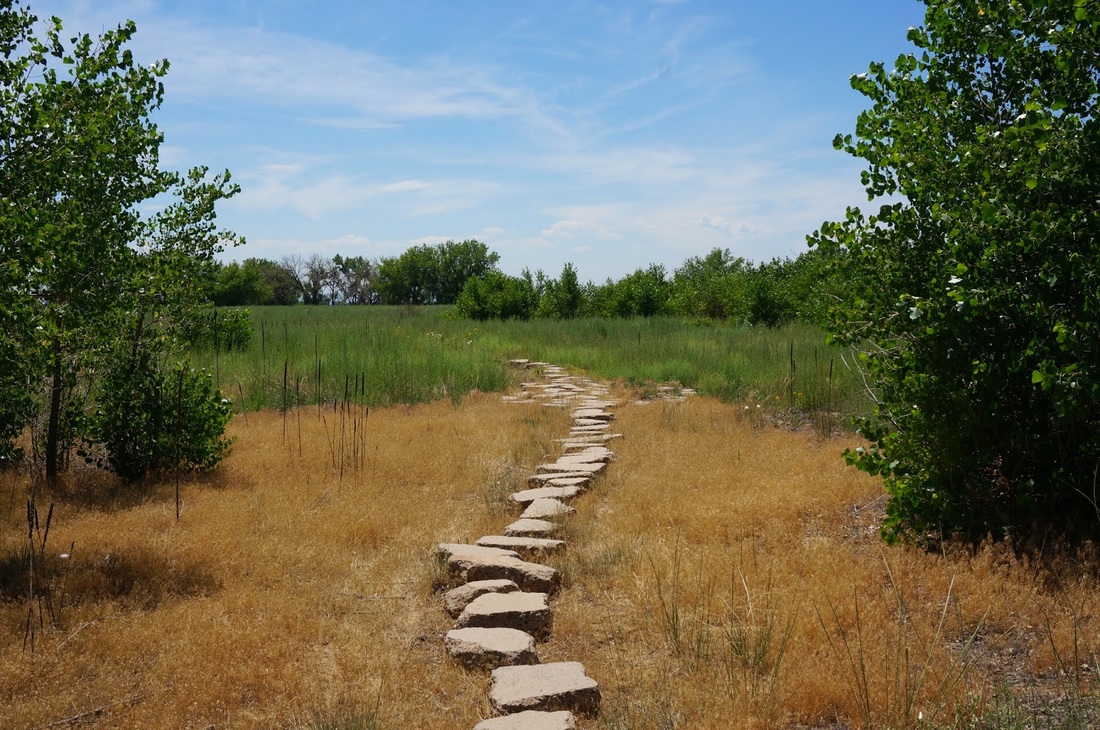
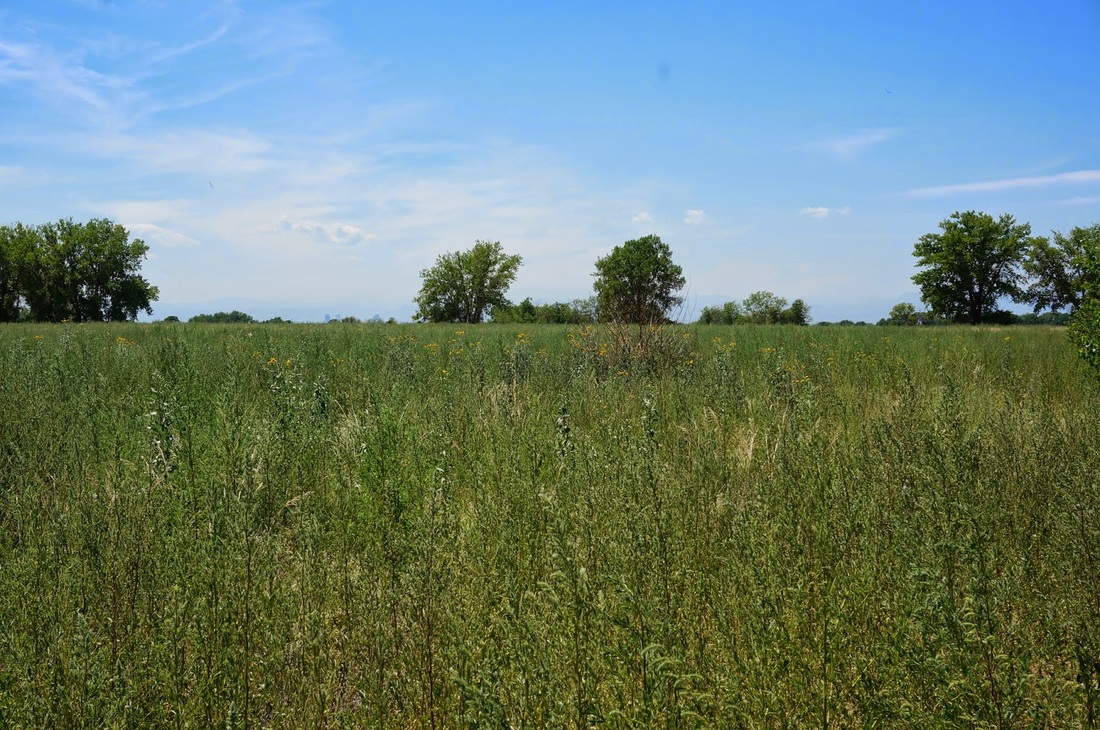
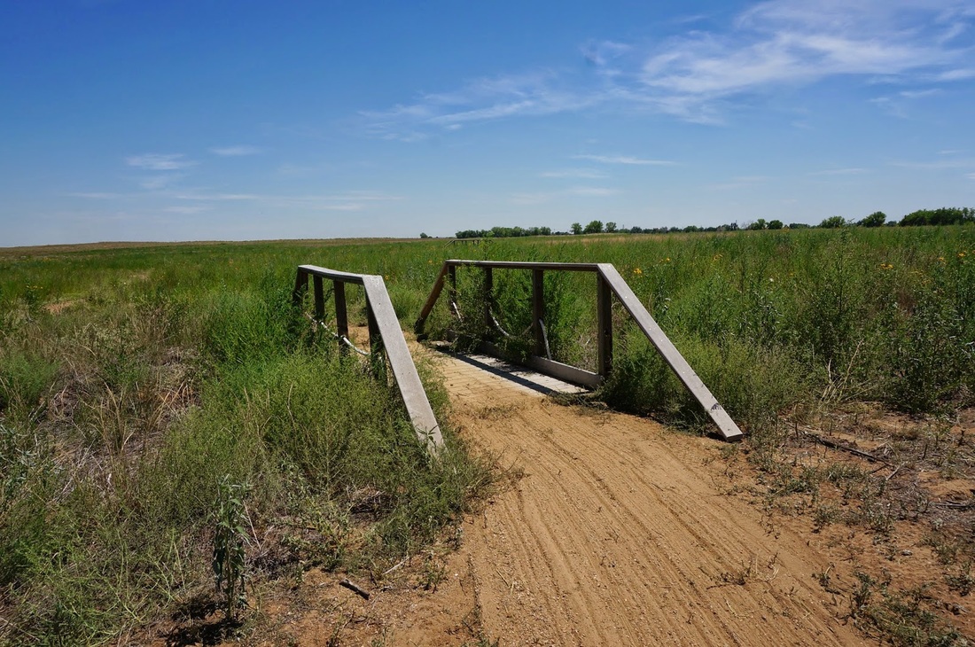
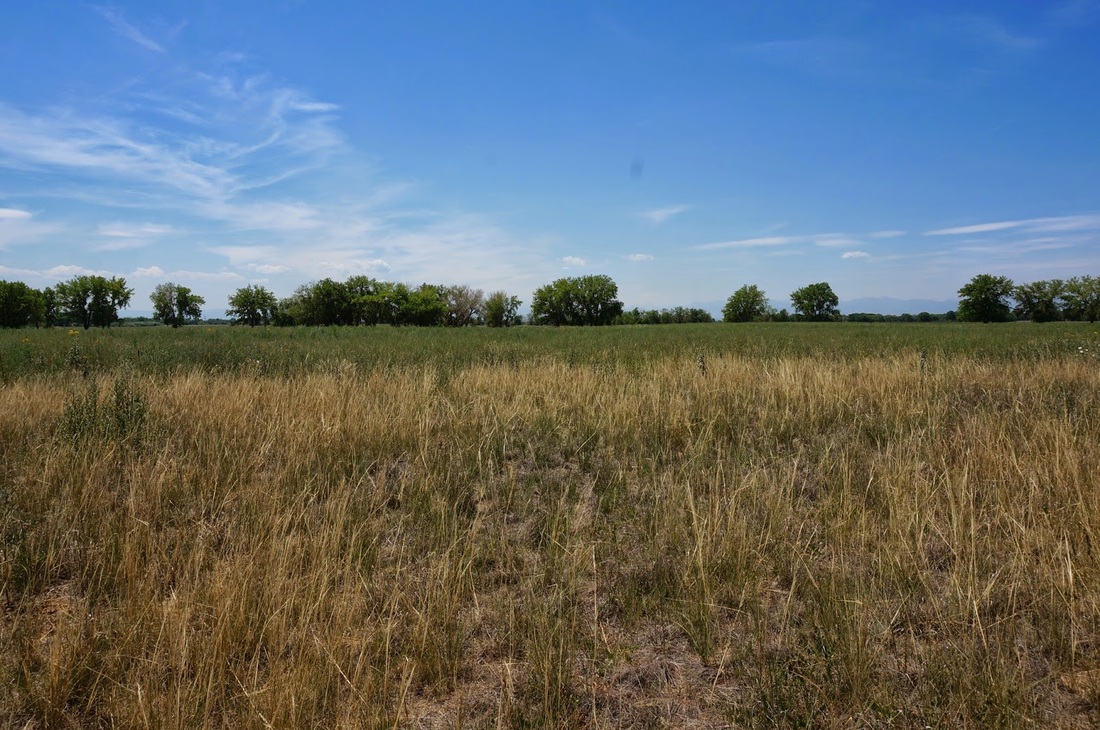
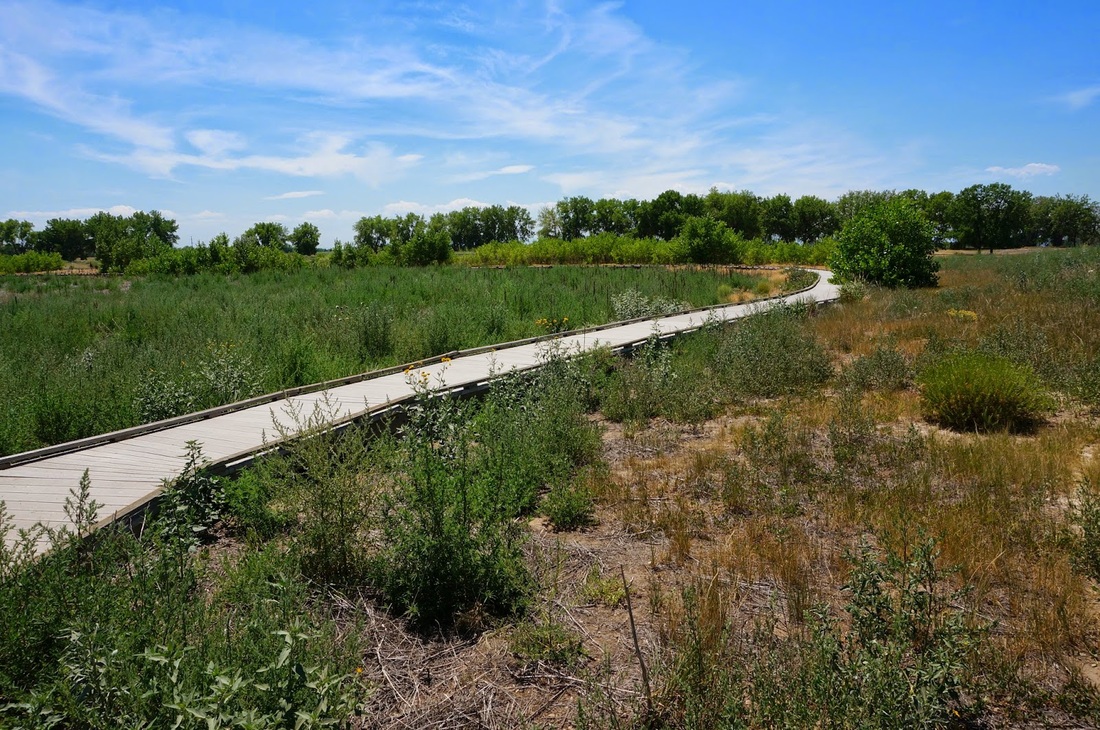
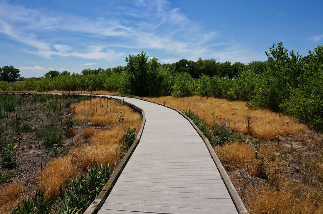
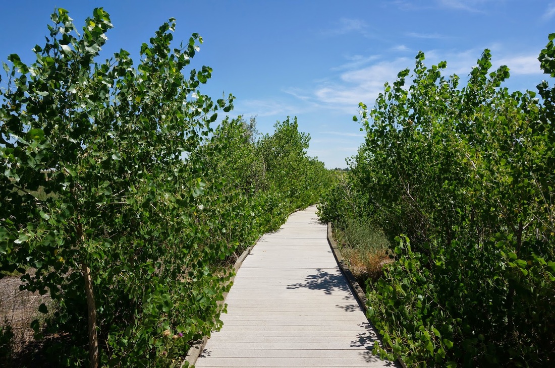
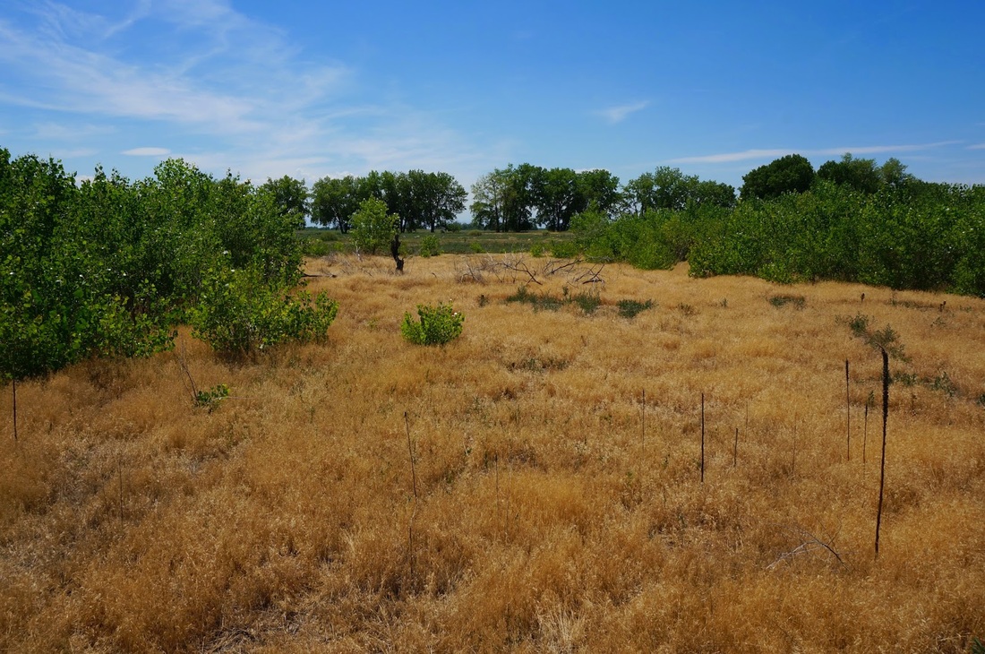
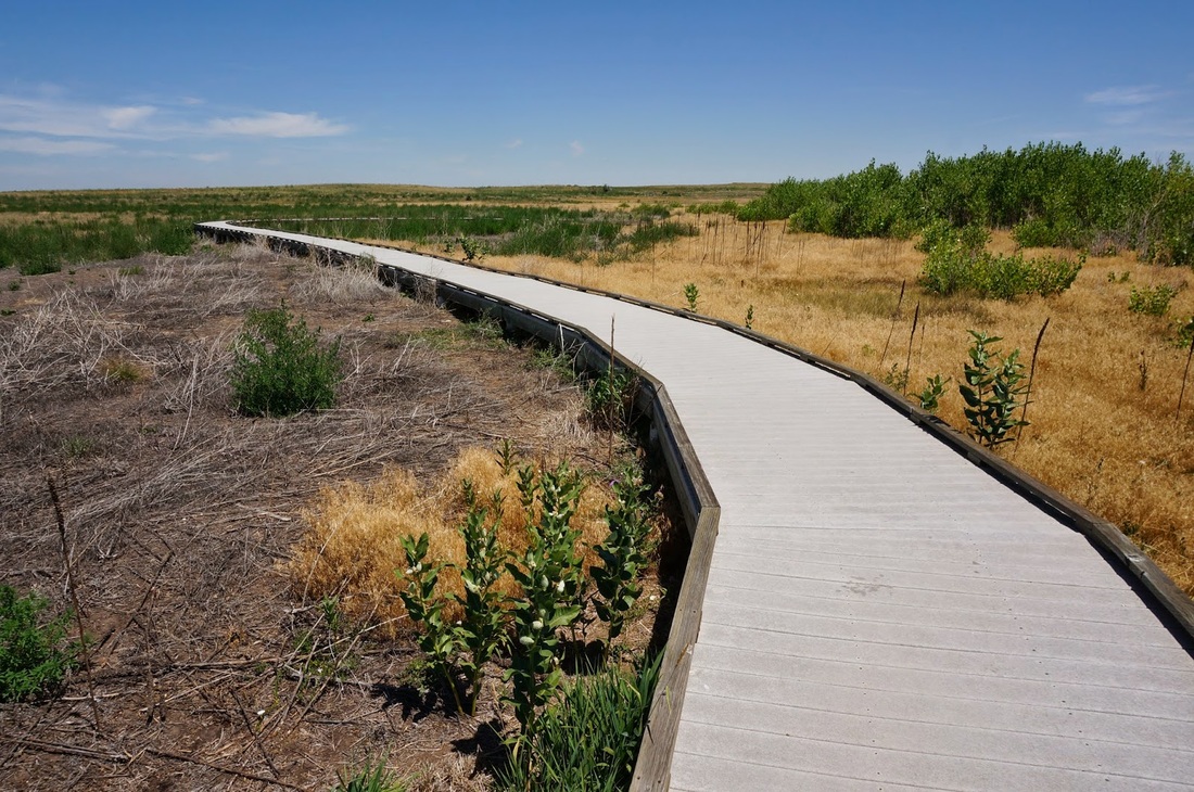
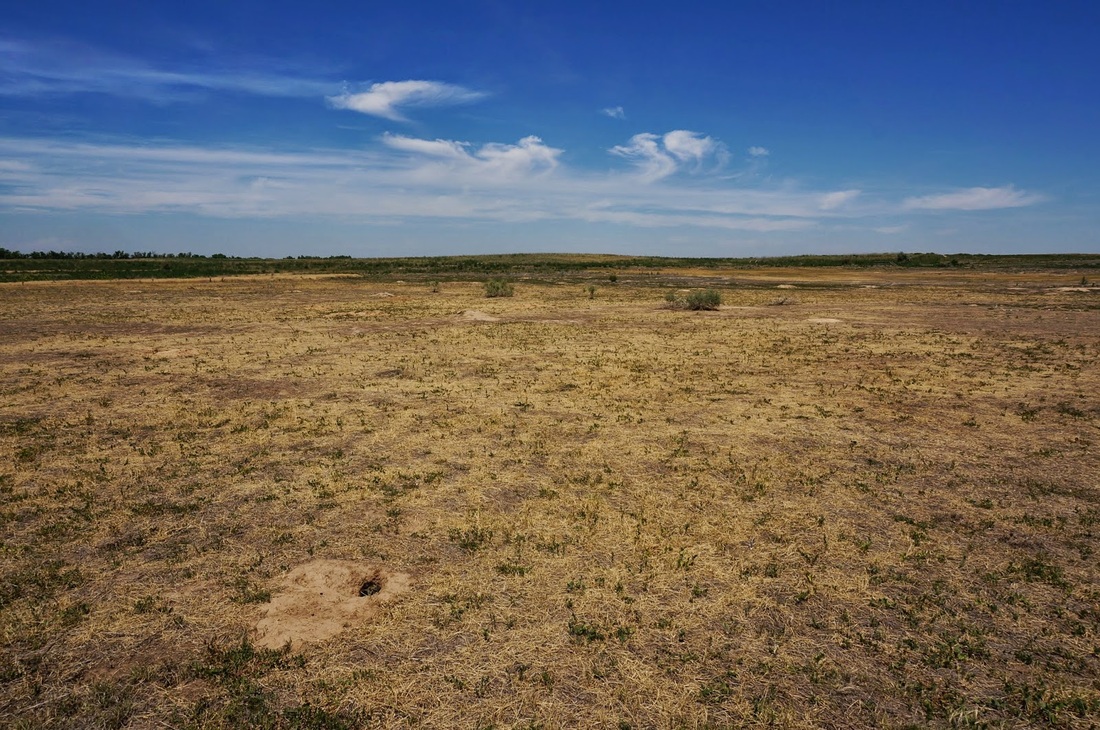
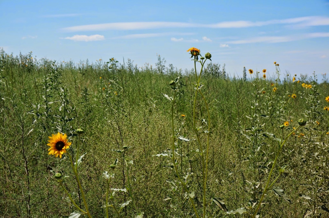
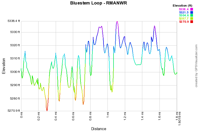
The Bluestem Loop is located about as far east in the refuge as the public is allowed to access.  The hike consists of a loop through the prairie and seasonal wetlands.  There is a boardwalk covering a good portion of the trail, but in July it is typically dry.  The trail is hot one as there is little shade, but summertime brings nice wildflowers and a good view of the front range mountains.  This is a very peaceful and quiet trail, it sees few visitors, and makes for a wonderful evening hike after the summer storms have moved through.
Powered by Create your own unique website with customizable templates.