GO HIKE COLORADO
Get in Touch:
  • HOME
  • ABOUT
  • HIKES BY REGION
    • DENVER AREA >
      • Denver Mountain Parks
      • Jefferson County Open Space
      • Lakewood Parks
      • Denver Area Greenways
    • BOULDER AREA
    • DOUGLAS COUNTY
    • FORT COLLINS AREA
    • COLORADO SPRINGS AREA
    • FRONT RANGE
    • TENMILE & MOSQUITO RANGES
    • GORE RANGE
    • SANGRE DE CRISTO MOUNTAINS
    • PARK RANGE
    • SAWATCH RANGE
    • ELK MOUNTAINS
    • SAN JUAN MOUNTAINS
    • THE FLAT TOPS
    • GRAND MESA
    • COLORADO PLATEAU
    • EASTERN PLAINS
  • NATIONAL PARK HIKES
    • BENT'S OLD FORT NATIONAL HISTORIC SITE
    • BLACK CANYON OF THE GUNNISON NATIONAL PARK
    • COLORADO NATIONAL MONUMENT
    • CURECANTI NATIONAL RECREATION AREA
    • DINOSAUR NATIONAL MONUMENT
    • FLORISSANT FOSSIL BEDS NATIONAL MONUMENT
    • MESA VERDE NATIONAL PARK
    • ROCKY MOUNTAIN NATIONAL PARK
    • GREAT SAND DUNES NATIONAL PARK
    • HOVENWEEP NATIONAL MONUMENT
    • SAND CREEK MASSACRE NATIONAL HISTORIC SITE
    • YUCCA HOUSE NATIONAL MONUMENT
  • HIKES BY CATEGORY
    • HIKES TO ALPINE LAKES
    • HIKES TO PEAKS & PASSES
    • HIKES THROUGH CANYONS
    • HIKES WITH FALL COLORS
    • HIKES ALONG THE I-70 CORRIDOR
    • HIKES ON PAVED TRAILS
    • HIKES FOR KIDS
    • HIKES TO WATERFALLS
    • HIKES ALONG RIVERS
    • HIKES WITH ROCK FORMATIONS
    • HIKES WITH WILDFLOWERS
    • WINTER HIKES
  • NEWS
  • WEBCAMS
  • $UPPORT GHC
  • INTERACTIVE MAP

Snowshoe Hare Trail
Golden Gate Canyon State Park

Date Hiked: July 3, 2014

Distance: 3 mi (RT)

  • Elevation Gain: 726ft
  • Elevation Min/Max: 8,748 to 9,113ft
  • Managing Agency: Colorado Parks and Wildlife
  • Fee: Yes

Golden Gate Canyon SP Trail Map
Picture

Directions:  From Golden, head west on Golden Gate Canyon Road for approx. 16 miles to the park entrance.  From here bear left at the the fork and then make a right onto Mountain Base Road towards Panorama Point. Make a right onto Gap Road and in a few miles turn right into the Aspen Meadows Campground.  Follow the signs to Dude's Fishing Hole and park at the Dude's Fishing Hole Trailhead.  The trail starts to the left of the Trailhead sign.

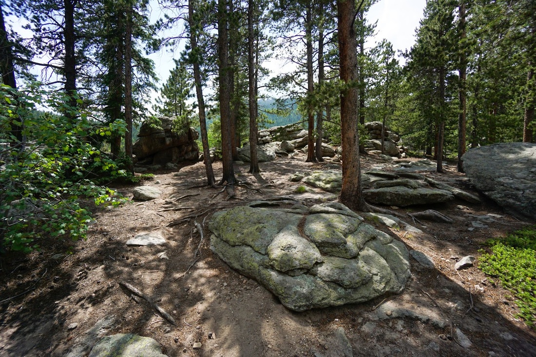
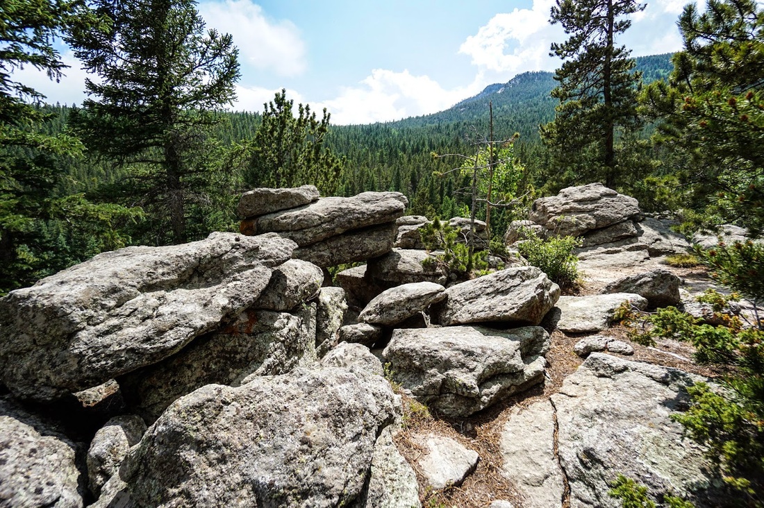
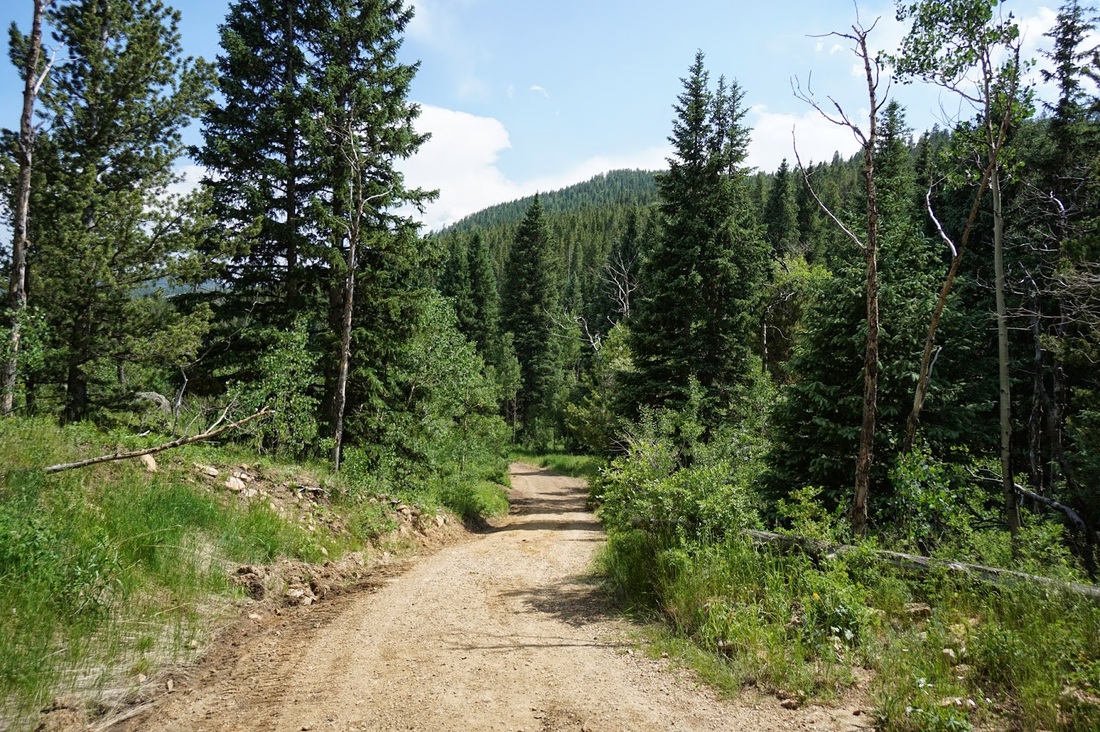
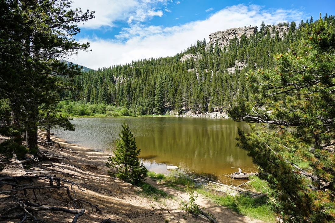
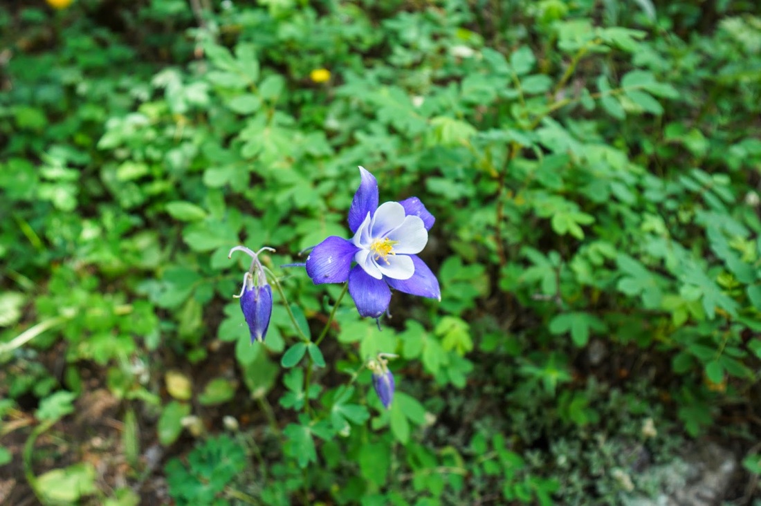
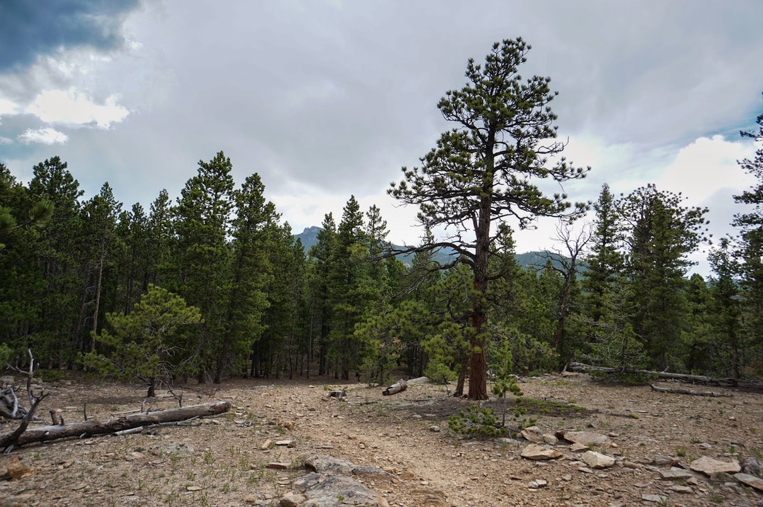
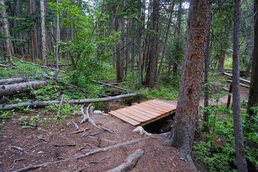
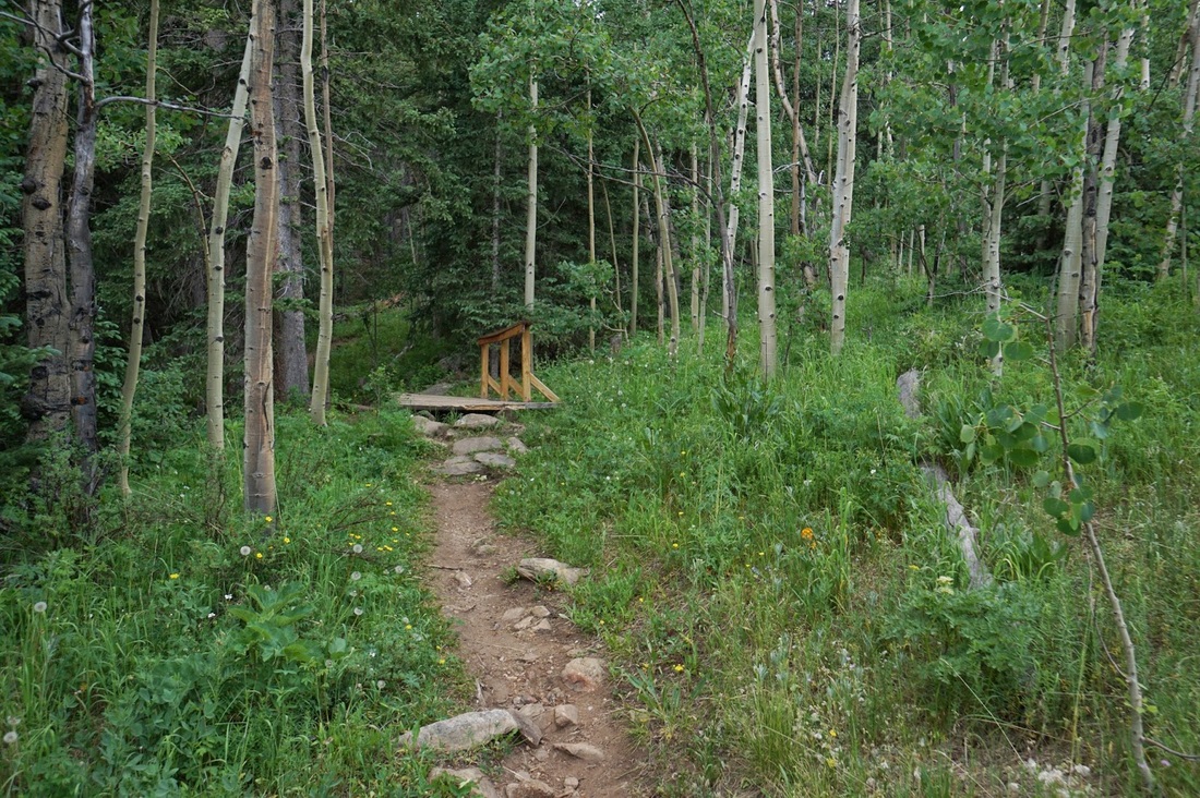
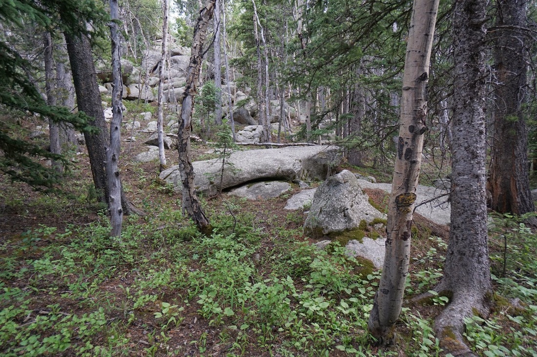
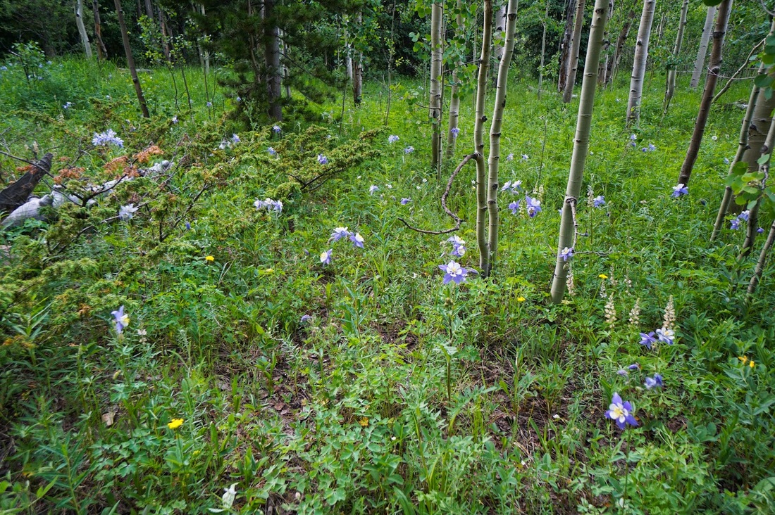
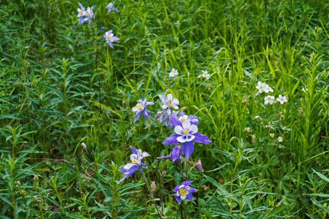
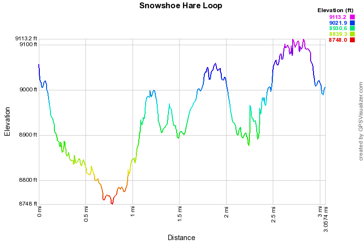
The Snowshoe Hare Trail is short but tough.  The trail drops steadily from the trailhead down to a dirt road (follow it downhill to the right) and down to Dude's Fishing Hole, a nice pond with great views.  The trail picks up again along the western shore where it continues to descend through pleasant pine and aspen forest to a creek crossing.  After you cross the bridge the trail climbs steeply and steadily for about 700 ft of elevation gain.  You climb through the forest until the trees get a bit shorter, the ground gets a bit rockier, and the views open up.  You'll pass various off-shoot trails leading to campgrounds but stay on the Snowshoe trail until you cross another two footbridges and pop out at the Aspen Meadows Campground.  From here follow the dirt roads, always staying left, back to the trailhead.

Just before you pop out at the campground, in the late spring/early summer there is a fantastic display of Columbine flowers, I've never seen so many in one spot, keep an eye out.
© Go Hike Colorado, 2020.  All Rights Reserved. 
Use of photographs without prior authorization is
​strictly prohibited.


Contact us at:
[email protected]
Legal Disclaimer - Information provided on this site is based upon our own observations, always double check information with the appropriate land management agency before heading into the backcountry.  Backcountry travel is inherently dangerous, please take all proper precautions.  Go Hike Colorado is not responsible for injury or incident.