GO HIKE COLORADO
Get in Touch:
  • HOME
  • ABOUT
  • HIKES BY REGION
    • DENVER AREA >
      • Denver Mountain Parks
      • Jefferson County Open Space
      • Lakewood Parks
      • Denver Area Greenways
    • BOULDER AREA
    • DOUGLAS COUNTY
    • FORT COLLINS AREA
    • COLORADO SPRINGS AREA
    • FRONT RANGE
    • TENMILE & MOSQUITO RANGES
    • GORE RANGE
    • SANGRE DE CRISTO MOUNTAINS
    • PARK RANGE
    • SAWATCH RANGE
    • ELK MOUNTAINS
    • SAN JUAN MOUNTAINS
    • THE FLAT TOPS
    • GRAND MESA
    • COLORADO PLATEAU
    • EASTERN PLAINS
  • NATIONAL PARK HIKES
    • BENT'S OLD FORT NATIONAL HISTORIC SITE
    • BLACK CANYON OF THE GUNNISON NATIONAL PARK
    • COLORADO NATIONAL MONUMENT
    • CURECANTI NATIONAL RECREATION AREA
    • DINOSAUR NATIONAL MONUMENT
    • FLORISSANT FOSSIL BEDS NATIONAL MONUMENT
    • MESA VERDE NATIONAL PARK
    • ROCKY MOUNTAIN NATIONAL PARK
    • GREAT SAND DUNES NATIONAL PARK
    • HOVENWEEP NATIONAL MONUMENT
    • SAND CREEK MASSACRE NATIONAL HISTORIC SITE
    • YUCCA HOUSE NATIONAL MONUMENT
  • HIKES BY CATEGORY
    • HIKES TO ALPINE LAKES
    • HIKES TO PEAKS & PASSES
    • HIKES THROUGH CANYONS
    • HIKES WITH FALL COLORS
    • HIKES ALONG THE I-70 CORRIDOR
    • HIKES ON PAVED TRAILS
    • HIKES FOR KIDS
    • HIKES TO WATERFALLS
    • HIKES ALONG RIVERS
    • HIKES WITH ROCK FORMATIONS
    • HIKES WITH WILDFLOWERS
    • WINTER HIKES
  • NEWS
  • WEBCAMS
  • $UPPORT GHC
  • INTERACTIVE MAP

Tucker Lake
Ralston Creek Trail, Arvada

Date Hiked: November 11, 2012

​Distance: 3.5 mi (RT)
Elevation Min/Max: 5,696 to 5,944ft
Managing Agency: City of Arvada Open Space
Fee: None

Arvada Trail Map
Picture

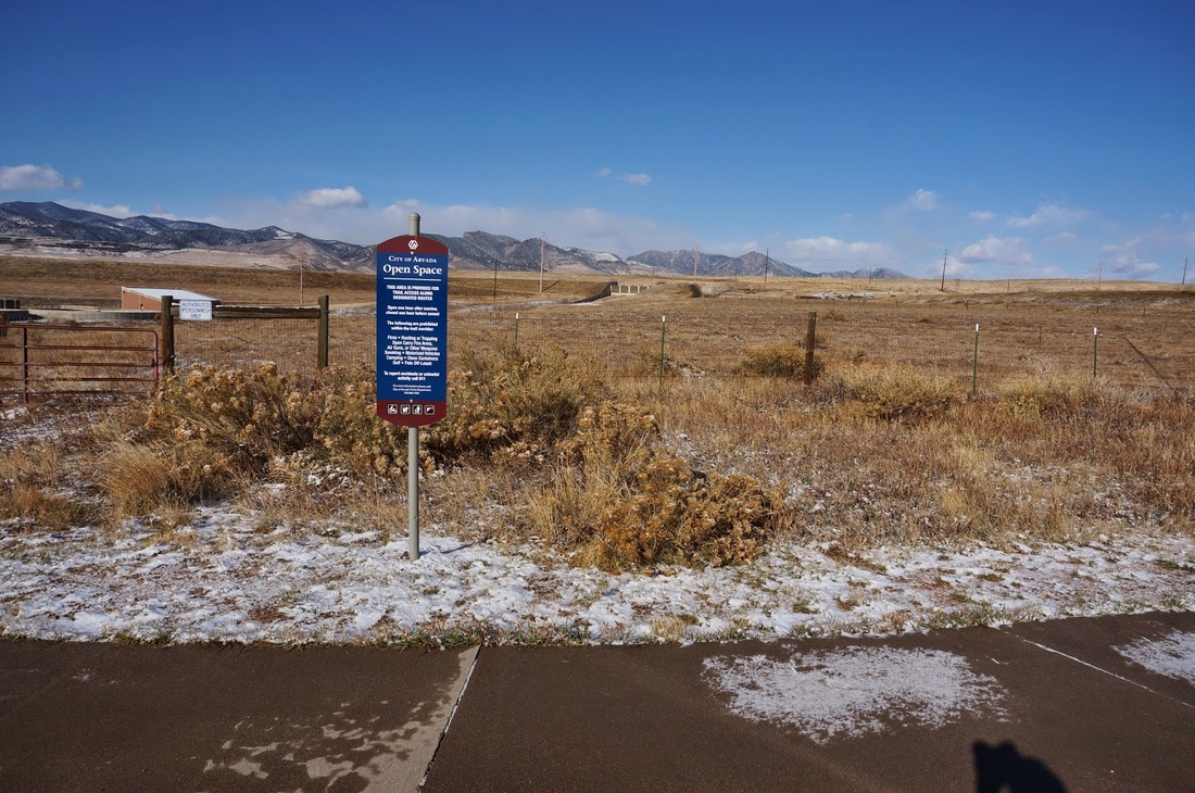
Directions:  The trailhead for Tucker Lake can be reached a number of ways from Denver.  You can take I-70 west to 58 west to 93 North and turn right (east) on 66th Ave and turn left on Virgil Way.... or you can take I-70 and head north on Kipling, Wadsworth, or Ward.  Take either of those streets to either 64th or 72nd and head west until they become Virgil Way.  Once on Virgil Way, you'll see the paved trail to the west, park on the street and you'll quickly find the trailhead for the Ralston Creek Trail.

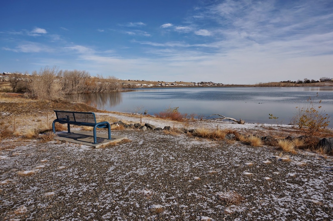
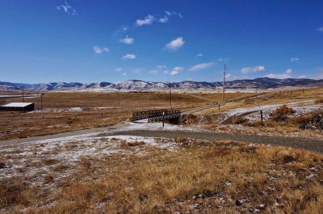
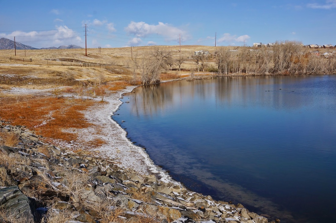
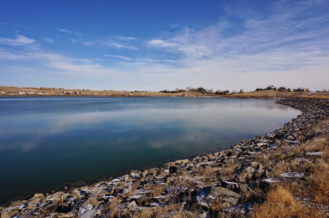
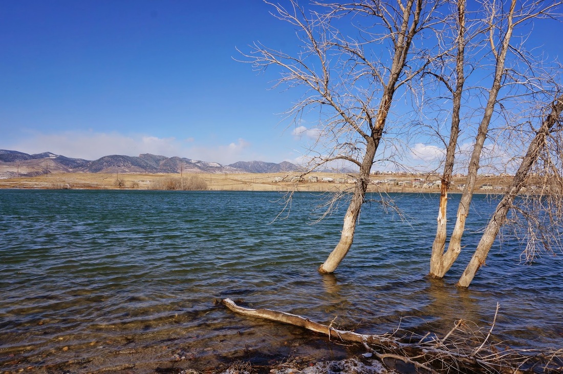
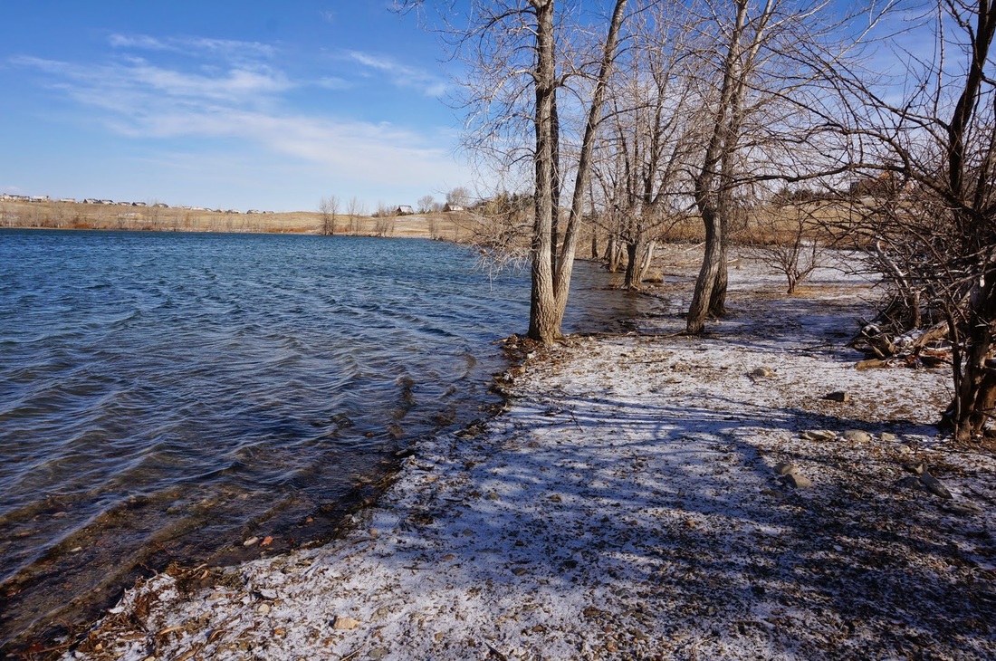
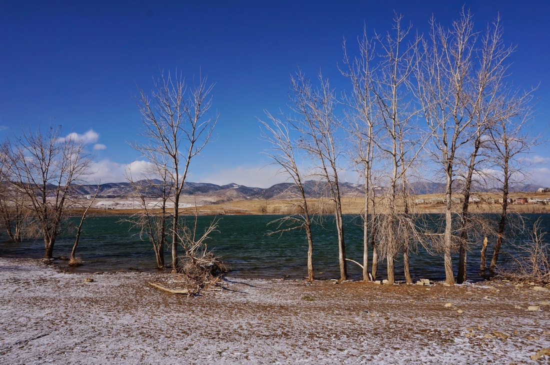
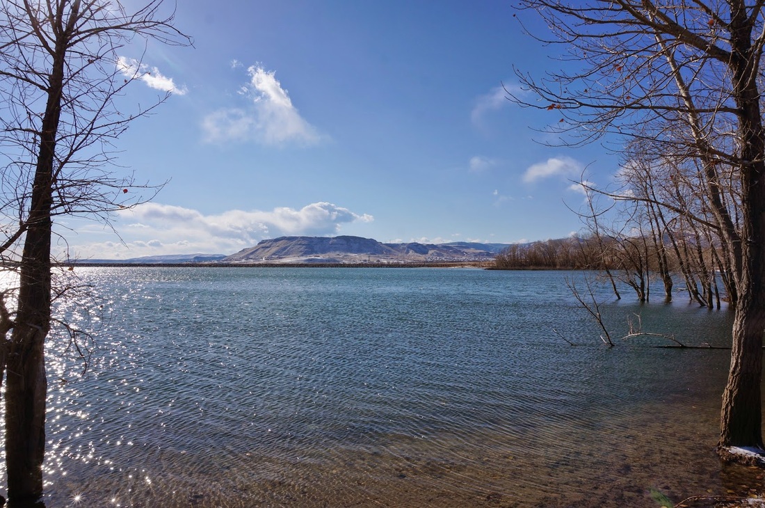
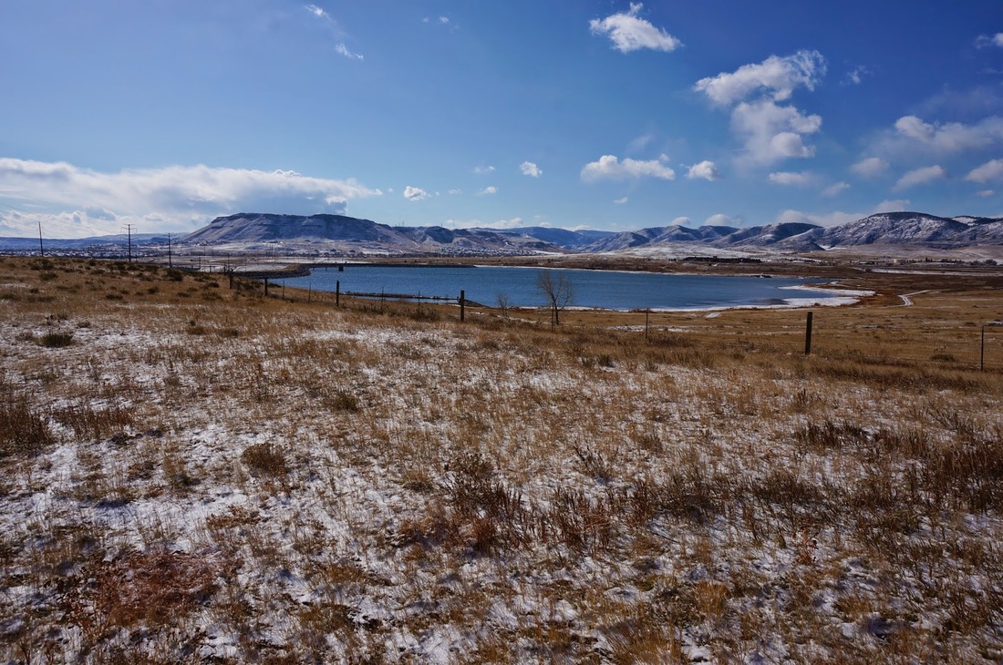
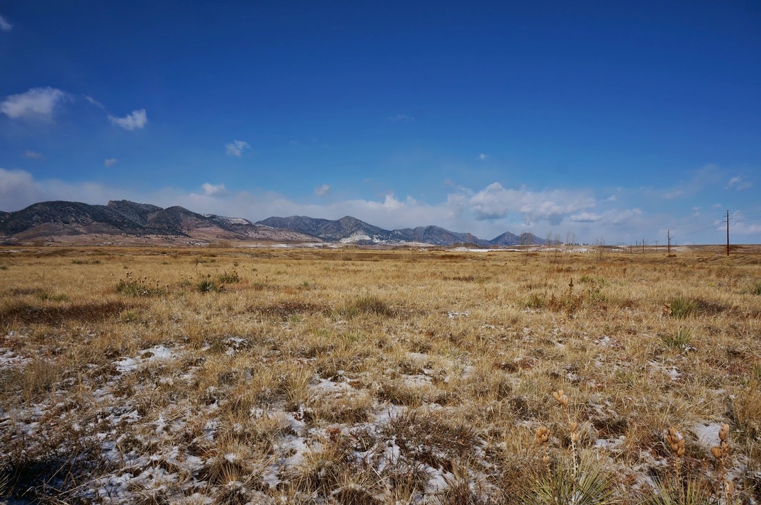
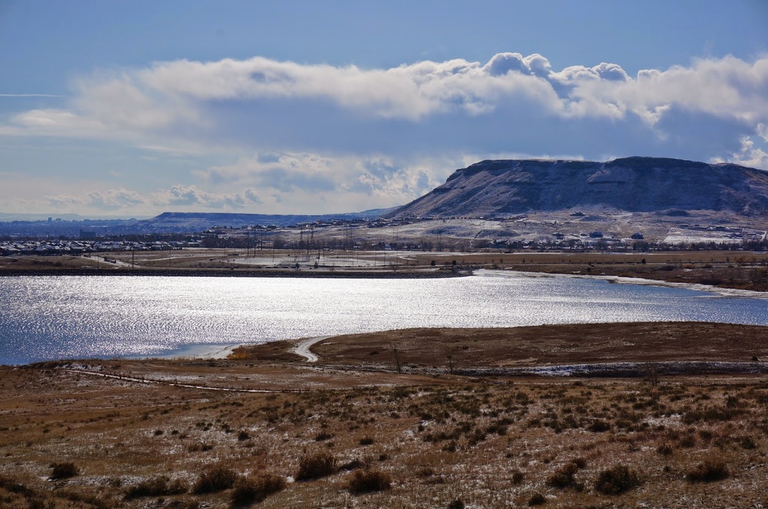
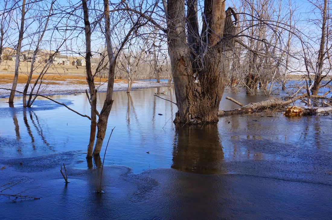
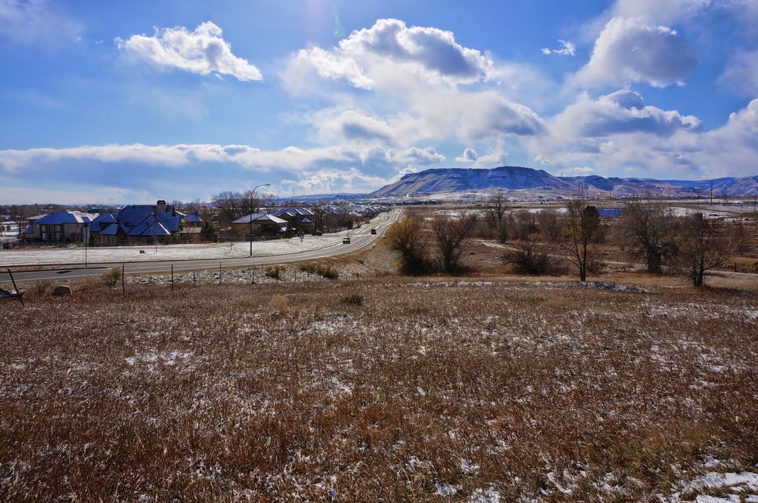
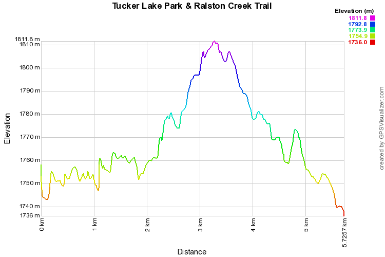
Tucker Lake is a small lake with a great view of the front range foothills just north of Golden.  You start out on the paved Ralston Creek Trail, and soon detour on a soft surface trail north to Tucker Lake.  The trail goes around the lake and meets back up with the Ralston Creek Trail, there is a dirt single track trail paralleling Ralston Creek if you just can't hike on a paved trail...  I only traveled about 1 mile on this trail as the temperature was single digits and I was freezing...  The Ralston Creek Trail will eventually head south to the north shore of Blunn Reservoir and loop back to the start (that was my goal before my joints froze).  On this stretch of trail you get great views to the north including Eldorado Mountain, Bear Peak, and S. Boulder Peak.
© Go Hike Colorado, 2020.  All Rights Reserved. 
Use of photographs without prior authorization is
​strictly prohibited.


Contact us at:
[email protected]
Legal Disclaimer - Information provided on this site is based upon our own observations, always double check information with the appropriate land management agency before heading into the backcountry.  Backcountry travel is inherently dangerous, please take all proper precautions.  Go Hike Colorado is not responsible for injury or incident.