|
Directions: From Denver take I70 West to Kipling Street and take Kipling North to 86th Parkway. Turn left (west) on 86th and take this to the Standley Lake Parking Area and Trailhead on the right.
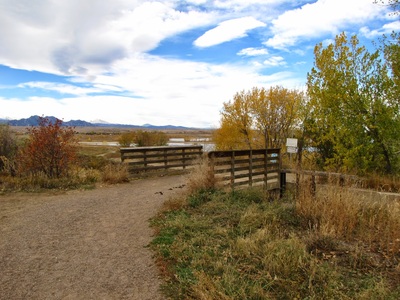
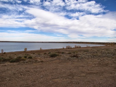
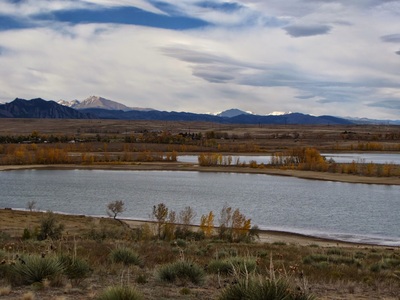
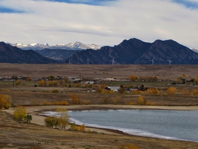
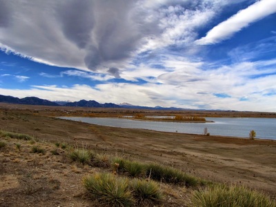
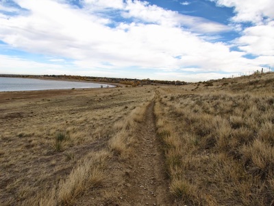
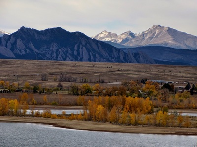
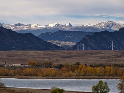
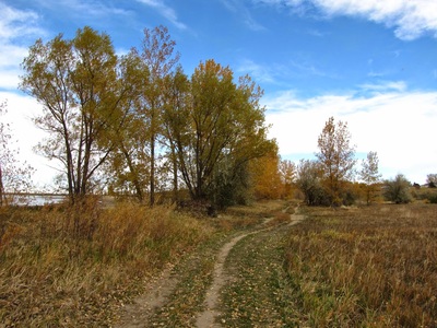
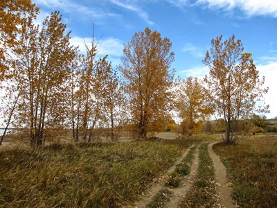
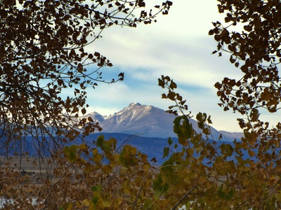
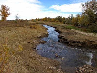
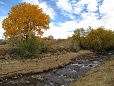
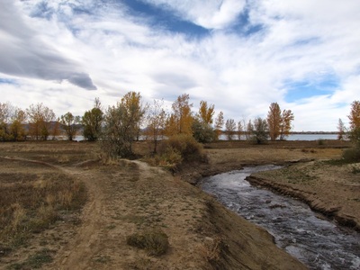
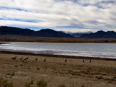
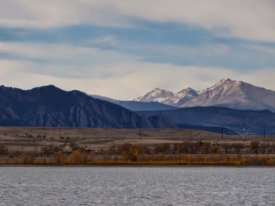
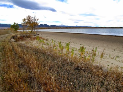
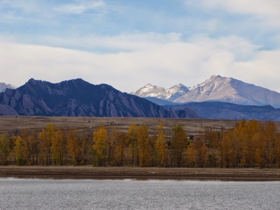
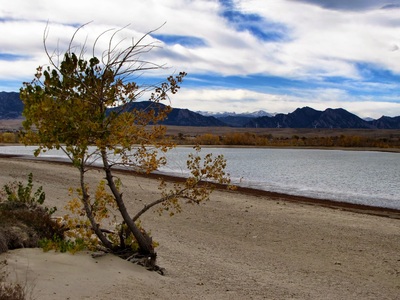
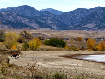
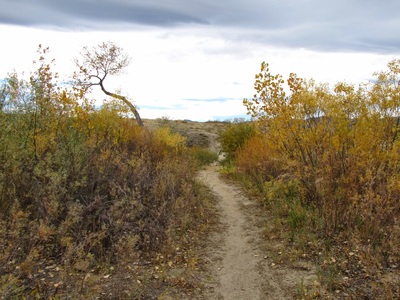
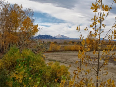
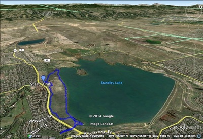
Standley Lake is a huge reservoir just east of the foothills. The park provides all manner of recreational opportunities from picnicking to hiking and biking. That being said, for a park this size, there are not many hiking options. The north section of the park has a few paved trails leading around the eastern section of the park and to the reservoir shore. The south portion of the park focuses on open space and hiking trails. There is a 3.6 mi loop on the south shore, with options to cut it down to a shorter hike. There is not much elevation gain, making this an easy hike. The trail has nice views to the west of the Indian Peaks and Longs Peak all towering above the lake and you can walk along the south shore of the lake as part of the hike. The lake itself is wonderful and hiking along it’s shore is quite an experience. Considering its proximity to Denver, Standley Lake is a real gem, it just needs more hiking options! |
- HOME
- ABOUT
-
HIKES BY REGION
-
NATIONAL PARK HIKES
- BENT'S OLD FORT NATIONAL HISTORIC SITE
- BLACK CANYON OF THE GUNNISON NATIONAL PARK
- COLORADO NATIONAL MONUMENT
- CURECANTI NATIONAL RECREATION AREA
- DINOSAUR NATIONAL MONUMENT
- FLORISSANT FOSSIL BEDS NATIONAL MONUMENT
- MESA VERDE NATIONAL PARK
- ROCKY MOUNTAIN NATIONAL PARK
- GREAT SAND DUNES NATIONAL PARK
- HOVENWEEP NATIONAL MONUMENT
- SAND CREEK MASSACRE NATIONAL HISTORIC SITE
- YUCCA HOUSE NATIONAL MONUMENT
- HIKES BY CATEGORY
- NEWS
- WEBCAMS
- $UPPORT GHC
- INTERACTIVE MAP
South Open Space Trails
Standley Lake Regional Park
Date Hiked: Oct. 19, 2012
Distance: 3.6 mi (RT)
Elevation Gain: 300ft
Elevation Min/Max: 5,480 to 5,657
Managing Agency: Westminster Parks & Recreation
Fee: None

