|
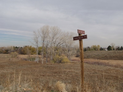
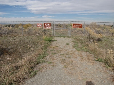
Directions: The Refuge is located at the intersection of W. 80th Ave and Kipling in Arvada, Colorado. From I-70, take Wadsworth Blvd north to 80th Ave. Turn left (west) and follow 80th to Kipling Street. Along the way you will see the sign and visitor center for Two Ponds, however, this is not the trailhead for the Prairie Management Zone. Continue west on 80th, turn south on Kipling and turn left (east) on 78th Place (follow the sign). This will lead to the parking lot of an office building and the trailhead. For an alternate traillead, continue south on Kipling and turn left (east) onto W. 77th Drive to the alternate trailhead.
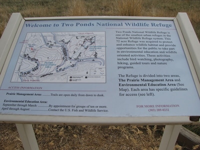
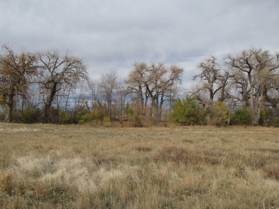
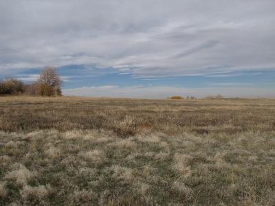
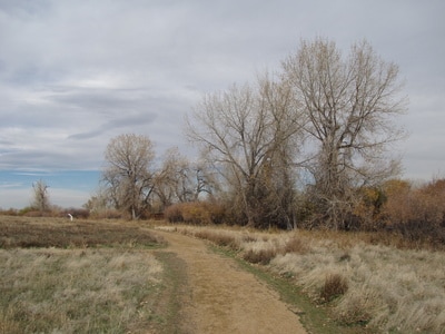
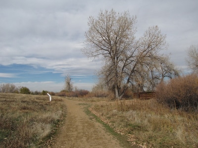
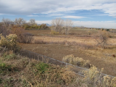
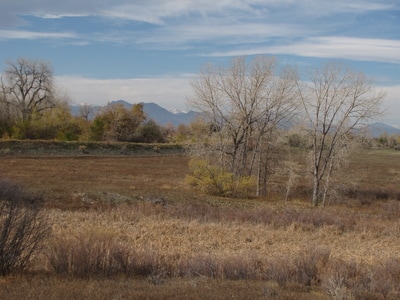
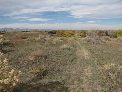
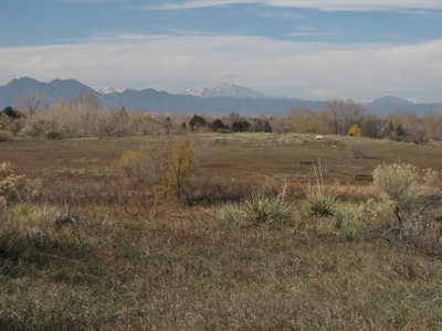
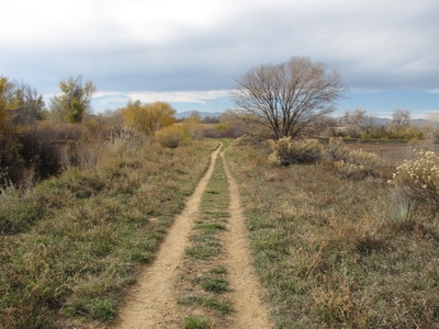
Two Ponds National Wildlife Refuge is an interesting place situated in suburban Arvada. It is divided up into the Environmental Education Zone and the Prairie Management Zone. The EEZ has very limited hours and cannot be accessed after-hours. The PMZ is more of an open space park and is open all the time. While the EEZ is arguably more scenic has more to offer from an educational standpoint, the PMZ makes for a pleasant, short, and easy hike.
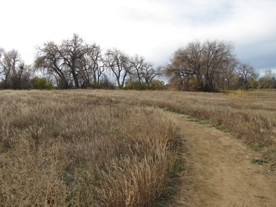
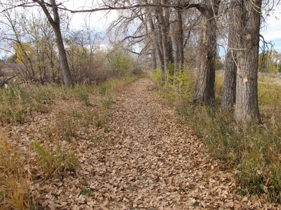
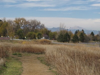
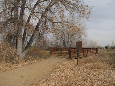
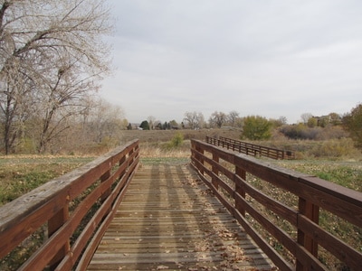
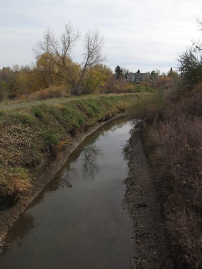
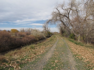
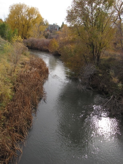
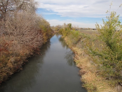
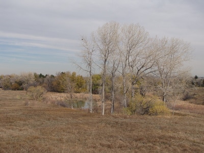
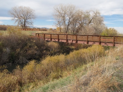
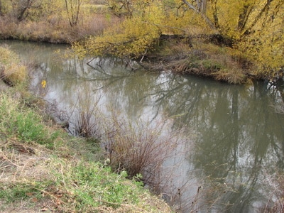
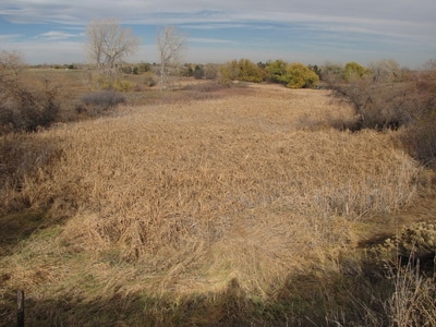
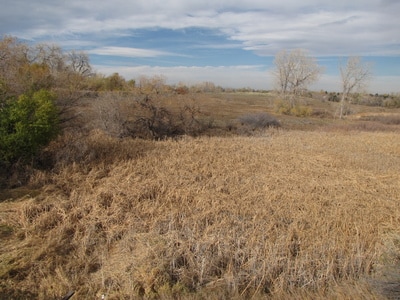
From the trailhead, the PMZ trails basically make a small loop around a grassy hill. You can add some mileage and scenery to your hike by crossing the bridges over the Farmers Highline Canal and Croke Canal. Croke Canal has a short trail that you can follow along the canal. If you follow the trail along Croke Canal to the south, then it will lead you to a locked gate that accesses the EEZ. This gate is unlocked when the EEZ is open but otherwise closed. The hike is short and pleasant especially in the fall when the cottonwoods are glowing yellow, however, I encourage you to seek out the refuge during business hours to get the full experience. According to the website, the EEZ is open: Tuesdays - Saturdays, 8am - 4pm, May - September; and closed October - April. |
November 3, 2012 |
- HOME
- ABOUT
-
HIKES BY REGION
-
NATIONAL PARK HIKES
- BENT'S OLD FORT NATIONAL HISTORIC SITE
- BLACK CANYON OF THE GUNNISON NATIONAL PARK
- COLORADO NATIONAL MONUMENT
- CURECANTI NATIONAL RECREATION AREA
- DINOSAUR NATIONAL MONUMENT
- FLORISSANT FOSSIL BEDS NATIONAL MONUMENT
- MESA VERDE NATIONAL PARK
- ROCKY MOUNTAIN NATIONAL PARK
- GREAT SAND DUNES NATIONAL PARK
- HOVENWEEP NATIONAL MONUMENT
- SAND CREEK MASSACRE NATIONAL HISTORIC SITE
- YUCCA HOUSE NATIONAL MONUMENT
- HIKES BY CATEGORY
- NEWS
- WEBCAMS
- $UPPORT GHC
- INTERACTIVE MAP
Prairie Management Zone Trails
Two Ponds National Wildlife Refuge
Date Hiked: Nov. 3, 2012
Distance: 2 mi (RT)
Elevation Gain: 100 ft
Elevation: 5,521
Managing Agency: U.S. Fish & Wildlife Service
Fee: None

