|
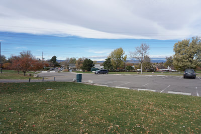
DIRECTIONS: From Denver, take I-25 south to Santa Fe Blvd (85). Follow Santa Fe south and bear right onto South Platte River Driver at the split. Turn right (west) onto Florida Ave and left (south) on Osage Street to enter the park. Follow the park road to the parking area at the top of the hill.
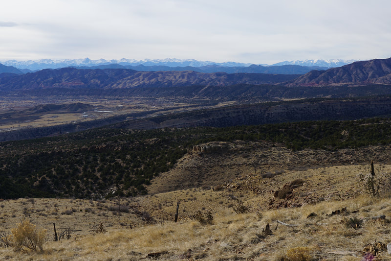
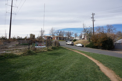
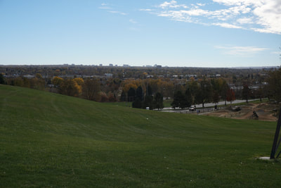
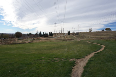
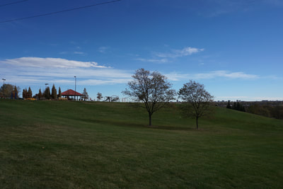
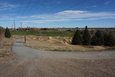
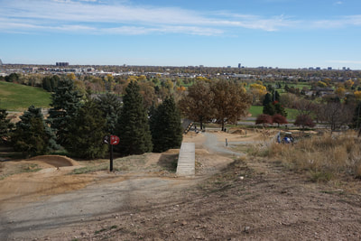
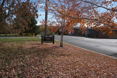
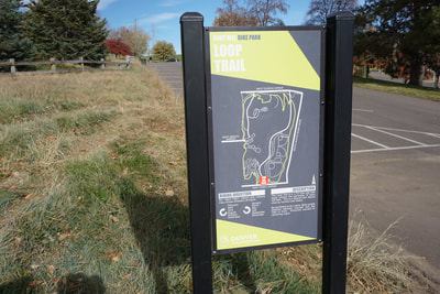
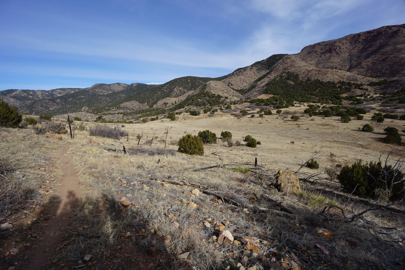
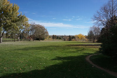
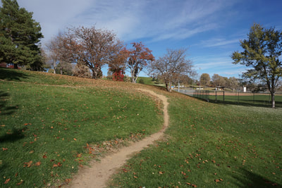
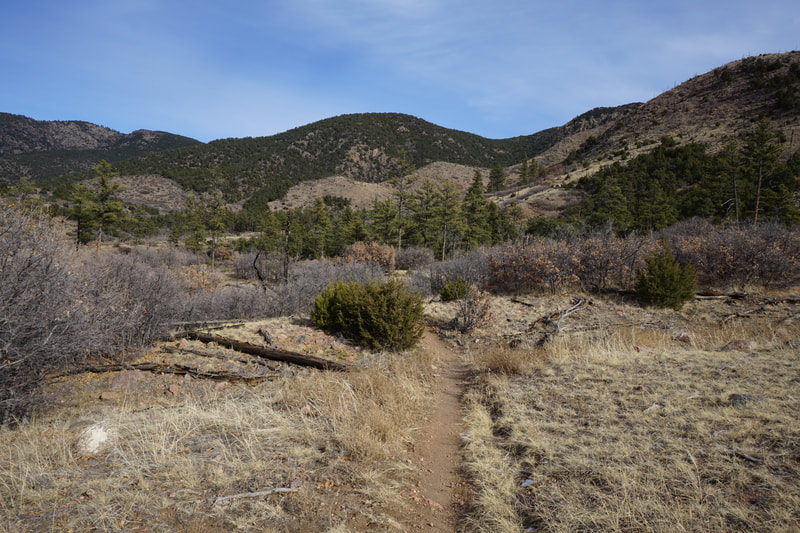
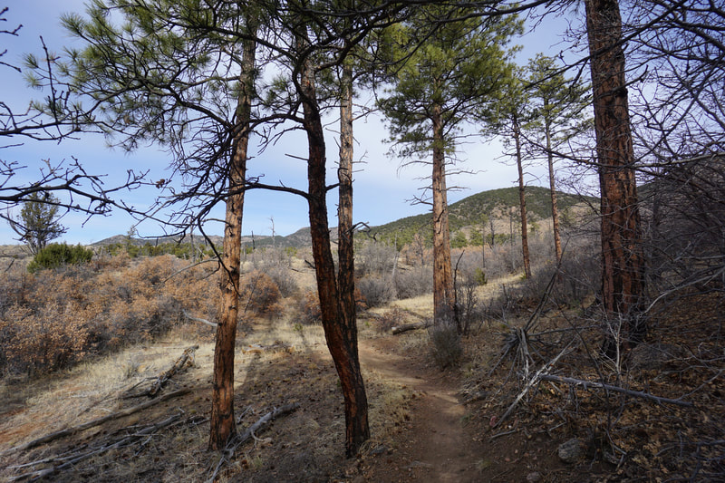
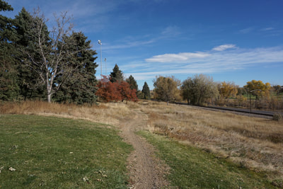
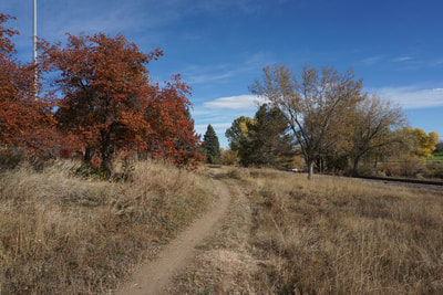
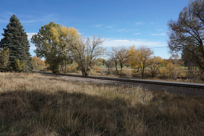
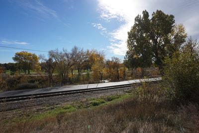
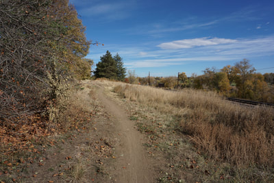
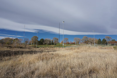
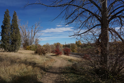
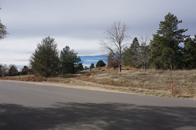
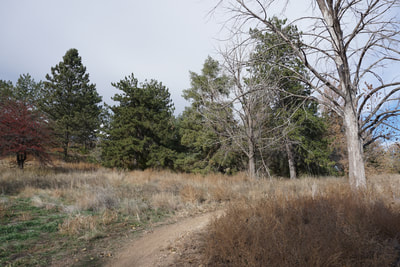
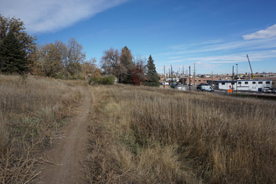
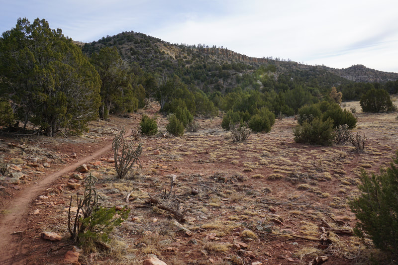
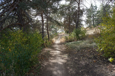
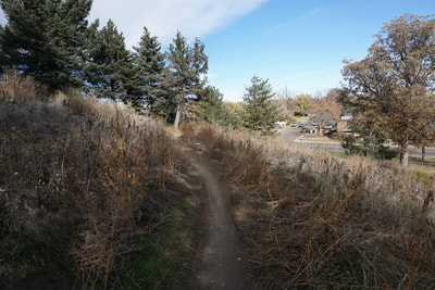
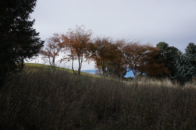
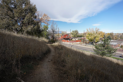
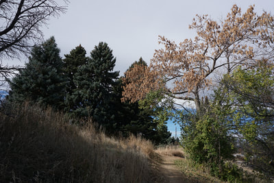
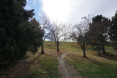
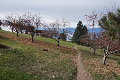
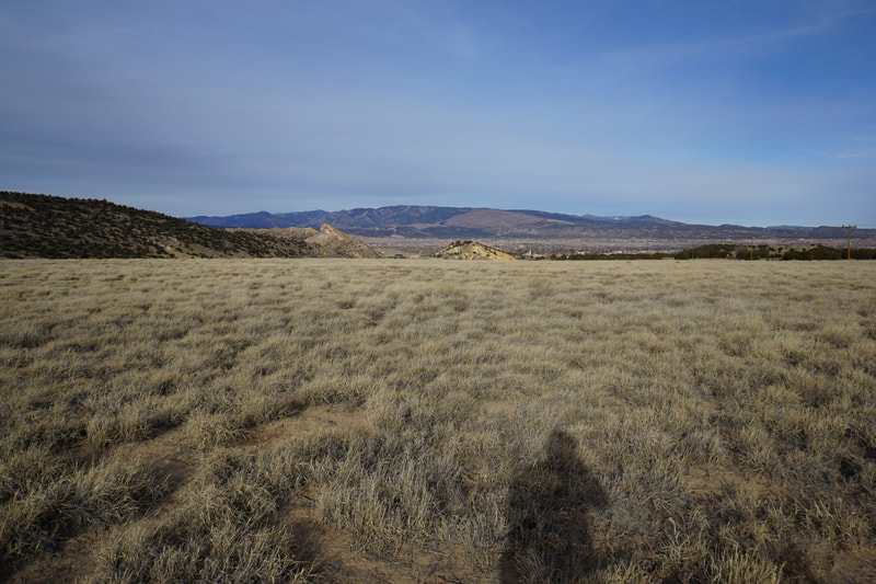
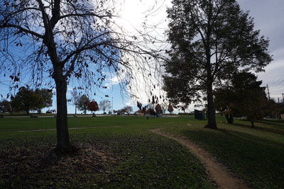
Ruby Hill Park is one of the more interesting parks in the Denver Parks System. The park has ball fields, a dirt bike course, playgrounds, picnic areas, a pool, a sled hill in the winter, and the Leavitt Pavilion, a concert venue that gets some big name acts in the summer time. The park also has a nice 1.75 mi loop trail for bikers, hikers, and runners. The loop follows the perimeter of the park with some great views at the top of the hill and a nice natural area at the bottom of the hill. The northern segment of the trail passes through a nice grove of pines and the manicured section of the park provides some nice fall colors. This is by no means a natural wilderness area, but it's still a pleasant hike within the Denver city limits. The hike around Ruby Hill is a good option if you are looking to stay close to Denver or want some exercise while the kids are playing in the park. |
- HOME
- ABOUT
-
HIKES BY REGION
-
NATIONAL PARK HIKES
- BENT'S OLD FORT NATIONAL HISTORIC SITE
- BLACK CANYON OF THE GUNNISON NATIONAL PARK
- COLORADO NATIONAL MONUMENT
- CURECANTI NATIONAL RECREATION AREA
- DINOSAUR NATIONAL MONUMENT
- FLORISSANT FOSSIL BEDS NATIONAL MONUMENT
- MESA VERDE NATIONAL PARK
- ROCKY MOUNTAIN NATIONAL PARK
- GREAT SAND DUNES NATIONAL PARK
- HOVENWEEP NATIONAL MONUMENT
- SAND CREEK MASSACRE NATIONAL HISTORIC SITE
- YUCCA HOUSE NATIONAL MONUMENT
- HIKES BY CATEGORY
- NEWS
- WEBCAMS
- $UPPORT GHC
- INTERACTIVE MAP
Ruby Hill Loop Trail
Ruby Hill Park
Date Hiked: October 27, 2018
Distance: 1.775 mi (RT)
Elevation Gain: 120 ft
Elevation Min/Max: 5,259 to 5,372 ft
Managing Agency: Denver Parks & Recreation
Fee: None

