GO HIKE COLORADO
Get in Touch:
  • HOME
  • ABOUT
  • HIKES BY REGION
    • DENVER AREA >
      • Denver Mountain Parks
      • Jefferson County Open Space
      • Lakewood Parks
      • Denver Area Greenways
    • BOULDER AREA
    • DOUGLAS COUNTY
    • FORT COLLINS AREA
    • COLORADO SPRINGS AREA
    • FRONT RANGE
    • TENMILE & MOSQUITO RANGES
    • GORE RANGE
    • SANGRE DE CRISTO MOUNTAINS
    • PARK RANGE
    • SAWATCH RANGE
    • ELK MOUNTAINS
    • SAN JUAN MOUNTAINS
    • THE FLAT TOPS
    • GRAND MESA
    • COLORADO PLATEAU
    • EASTERN PLAINS
  • NATIONAL PARK HIKES
    • BENT'S OLD FORT NATIONAL HISTORIC SITE
    • BLACK CANYON OF THE GUNNISON NATIONAL PARK
    • COLORADO NATIONAL MONUMENT
    • CURECANTI NATIONAL RECREATION AREA
    • DINOSAUR NATIONAL MONUMENT
    • FLORISSANT FOSSIL BEDS NATIONAL MONUMENT
    • MESA VERDE NATIONAL PARK
    • ROCKY MOUNTAIN NATIONAL PARK
    • GREAT SAND DUNES NATIONAL PARK
    • HOVENWEEP NATIONAL MONUMENT
    • SAND CREEK MASSACRE NATIONAL HISTORIC SITE
    • YUCCA HOUSE NATIONAL MONUMENT
  • HIKES BY CATEGORY
    • HIKES TO ALPINE LAKES
    • HIKES TO PEAKS & PASSES
    • HIKES THROUGH CANYONS
    • HIKES WITH FALL COLORS
    • HIKES ALONG THE I-70 CORRIDOR
    • HIKES ON PAVED TRAILS
    • HIKES FOR KIDS
    • HIKES TO WATERFALLS
    • HIKES ALONG RIVERS
    • HIKES WITH ROCK FORMATIONS
    • HIKES WITH WILDFLOWERS
    • WINTER HIKES
  • NEWS
  • WEBCAMS
  • $UPPORT GHC
  • INTERACTIVE MAP

Wetlands Preserve
Cherry Creek State Park

Date Hiked: November 8, 2012​

Distance: 1.8 mi (RT)

  • Elevation Gain: 200ft
  • Elevation Min/Max: 5,540 to 5,605ft
  • Managing Agency: Colorado of Parks & Wildlife
  • Fee: None

Cherry Creek State Park Trail Map
Picture


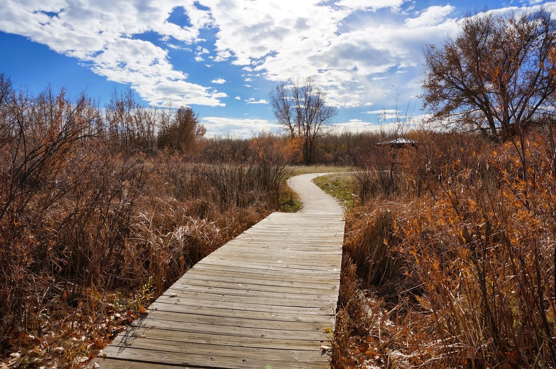
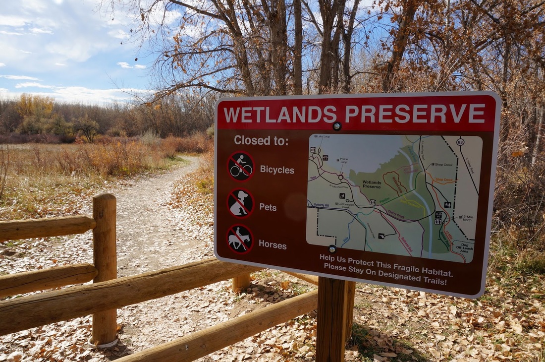
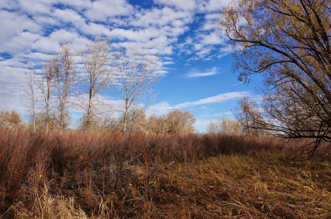
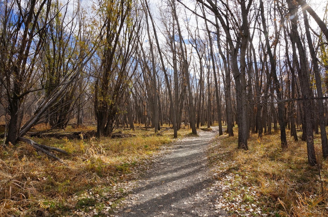
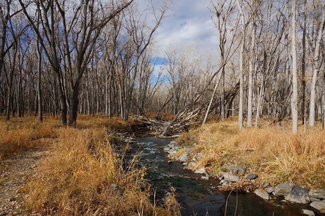
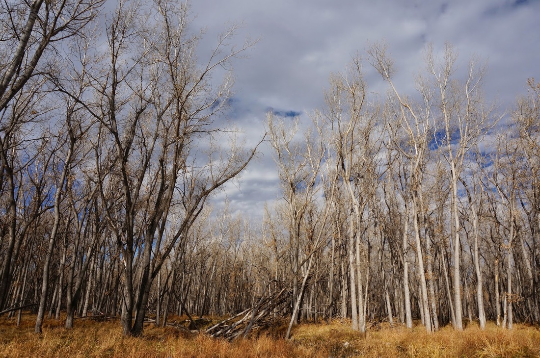
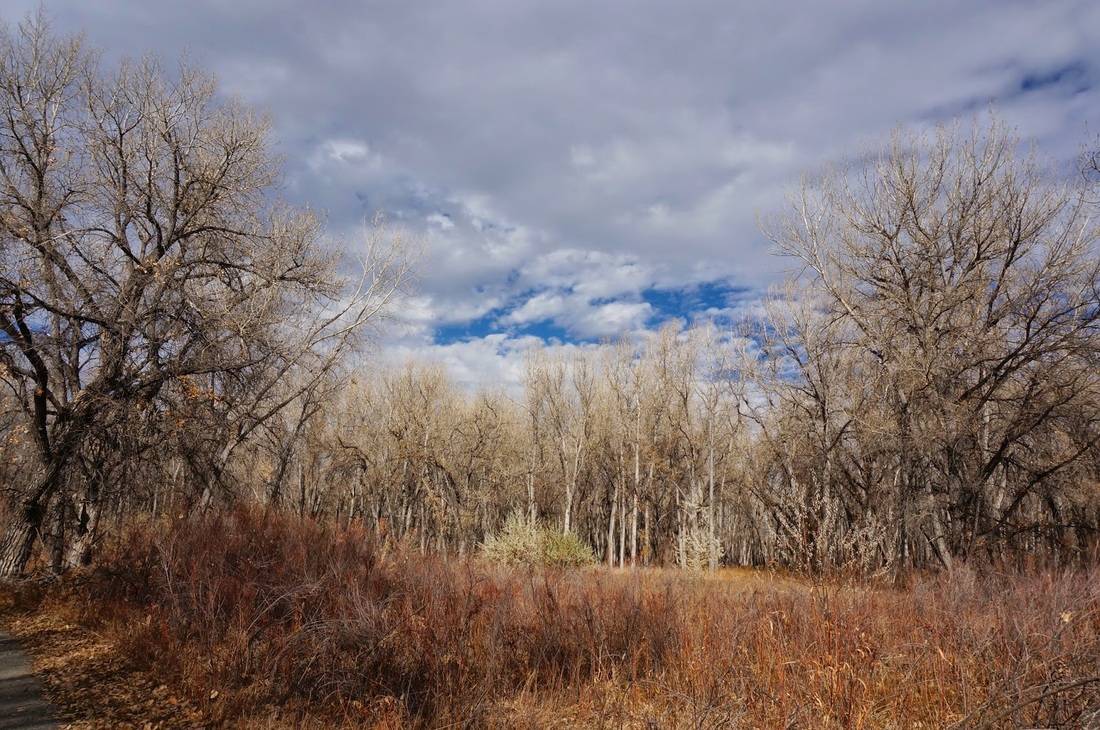
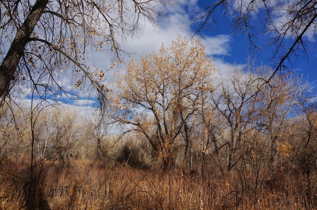
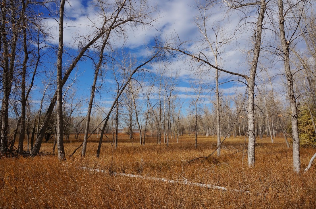
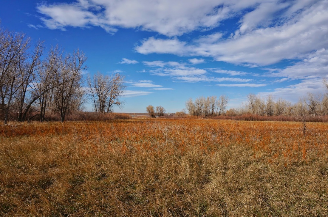
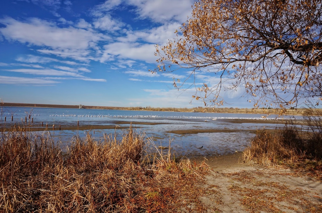
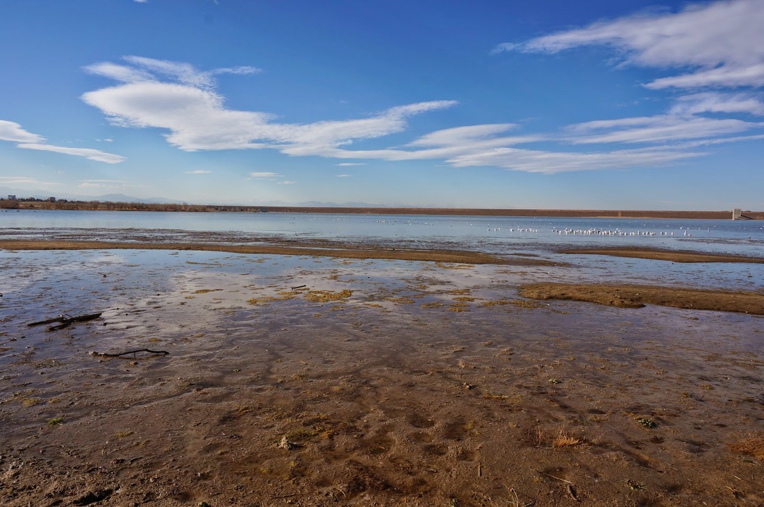
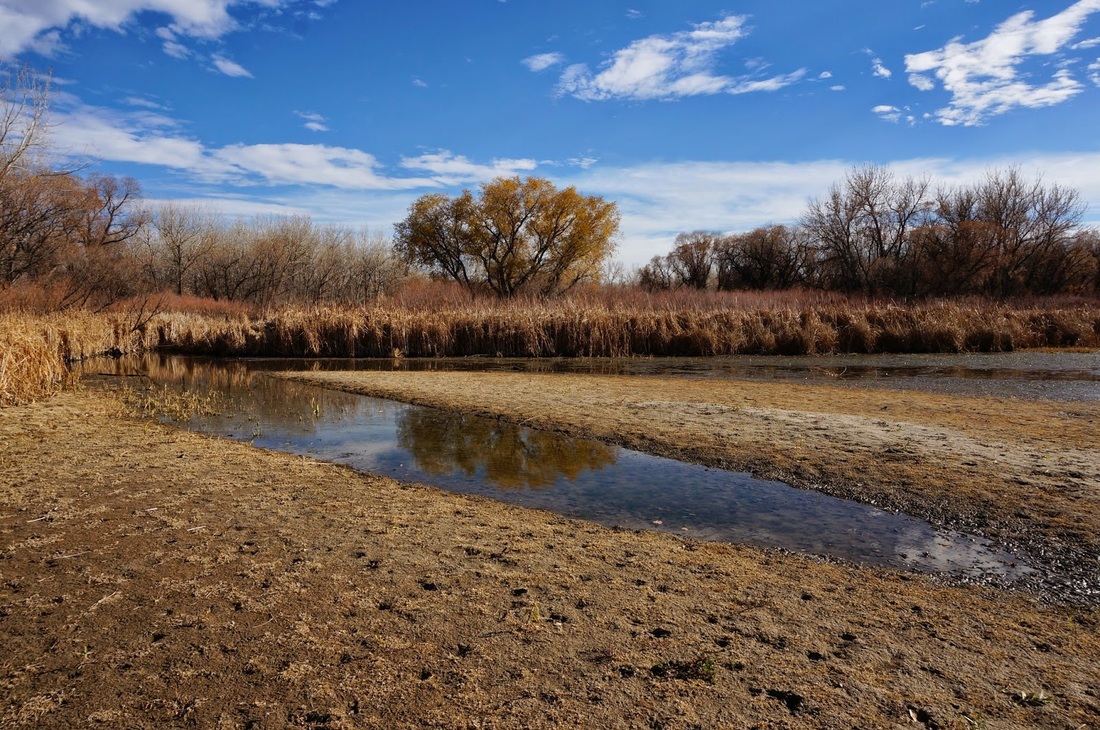
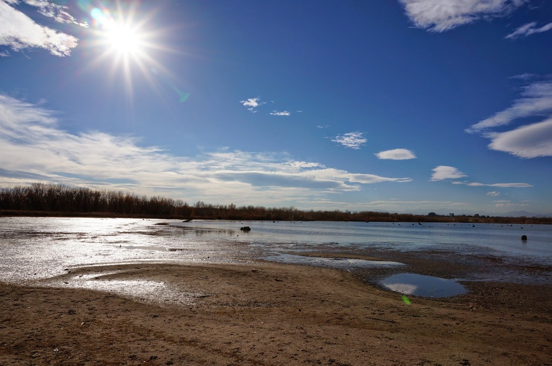
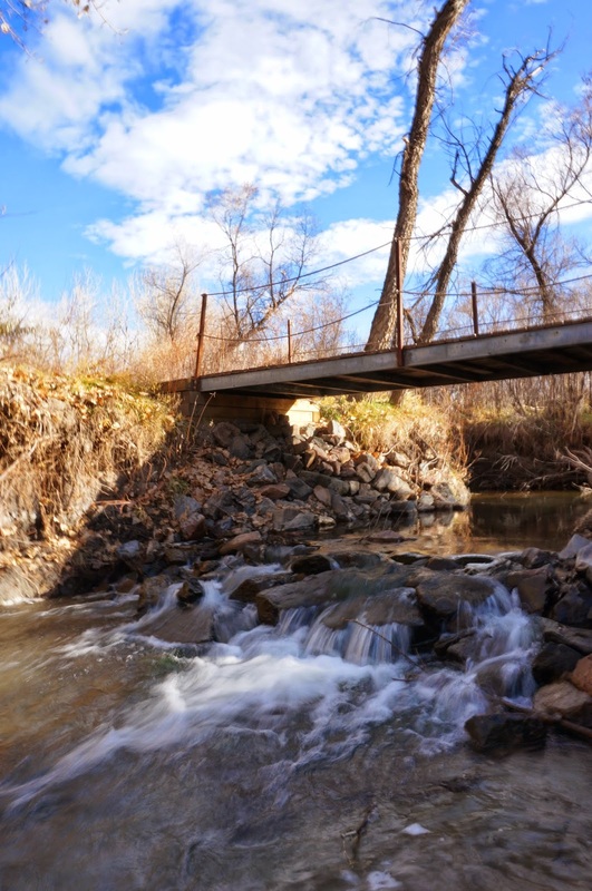
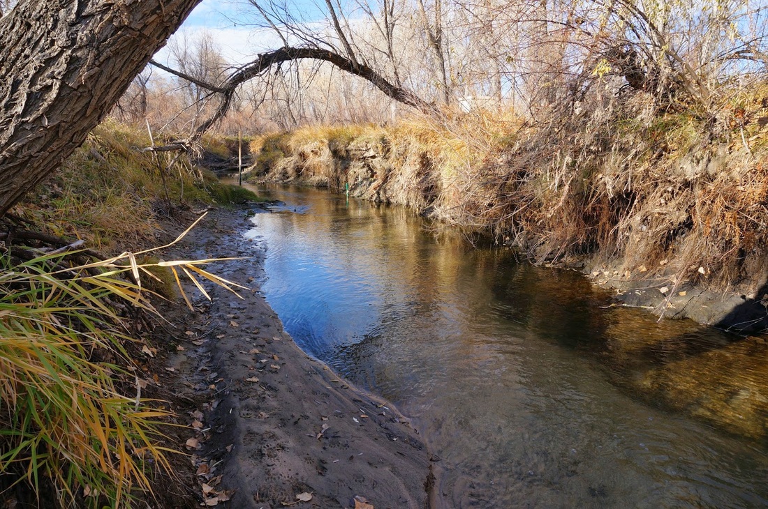
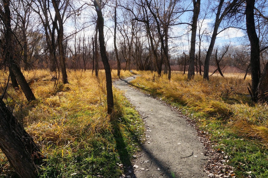
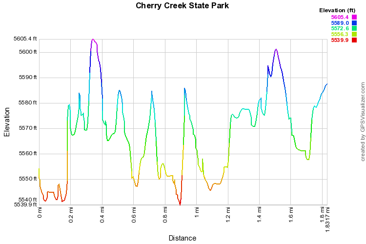
Directions:  This hike is located in the eastern part of the park.  The park entrance is off of S. Parker Road.  To get there from Denver, take I-25 south to 225 north.  Get off at the Parker Road exit and head south.  Make a right into the park entrance.  In the park, follow E. Lehigh Ave, make a left onto Lake View Road.  The parking area is on the left.

The Wetlands Preserve is a nice quiet spot on the south shore of Cherry Creek Reservoir.  Most of the park visitors visit the lake shore so this area in often quieter and secluded.  The trail follow Cherry Creek for a little ways and winds though cottonwood forest.  The Wetlands Loop will take you to the south shore of Cherry Creek Reservoir and loop back to the south to the Pipeline Trail back to the parking area.  You can also take the North Connector Trail for another loop or follow the trails to the south for a longer hike. 
Powered by Create your own unique website with customizable templates.