GO HIKE COLORADO
Get in Touch:
  • HOME
  • ABOUT
  • HIKES BY REGION
    • DENVER AREA >
      • Denver Mountain Parks
      • Jefferson County Open Space
      • Lakewood Parks
      • Denver Area Greenways
    • BOULDER AREA
    • DOUGLAS COUNTY
    • FORT COLLINS AREA
    • COLORADO SPRINGS AREA
    • FRONT RANGE
    • TENMILE & MOSQUITO RANGES
    • GORE RANGE
    • SANGRE DE CRISTO MOUNTAINS
    • PARK RANGE
    • SAWATCH RANGE
    • ELK MOUNTAINS
    • SAN JUAN MOUNTAINS
    • THE FLAT TOPS
    • GRAND MESA
    • COLORADO PLATEAU
    • EASTERN PLAINS
  • NATIONAL PARK HIKES
    • BENT'S OLD FORT NATIONAL HISTORIC SITE
    • BLACK CANYON OF THE GUNNISON NATIONAL PARK
    • COLORADO NATIONAL MONUMENT
    • CURECANTI NATIONAL RECREATION AREA
    • DINOSAUR NATIONAL MONUMENT
    • FLORISSANT FOSSIL BEDS NATIONAL MONUMENT
    • MESA VERDE NATIONAL PARK
    • ROCKY MOUNTAIN NATIONAL PARK
    • GREAT SAND DUNES NATIONAL PARK
    • HOVENWEEP NATIONAL MONUMENT
    • SAND CREEK MASSACRE NATIONAL HISTORIC SITE
    • YUCCA HOUSE NATIONAL MONUMENT
  • HIKES BY CATEGORY
    • HIKES TO ALPINE LAKES
    • HIKES TO PEAKS & PASSES
    • HIKES THROUGH CANYONS
    • HIKES WITH FALL COLORS
    • HIKES ALONG THE I-70 CORRIDOR
    • HIKES ON PAVED TRAILS
    • HIKES FOR KIDS
    • HIKES TO WATERFALLS
    • HIKES ALONG RIVERS
    • HIKES WITH ROCK FORMATIONS
    • HIKES WITH WILDFLOWERS
    • WINTER HIKES
  • NEWS
  • WEBCAMS
  • $UPPORT GHC
  • INTERACTIVE MAP

Triceratops Trail
Parfet Prehistoric Preserve, Dinosaur Ridge

Date Hiked: April 15, 2012

Distance: 1.5 mi (RT)
Elevation Gain: 100ft
Elevation Min/Max: 5,843 – 5,936
Managing Agency: Dinosaur Ridge
Fee: Parking Fee for CO School of Mines

Dinosaur Ridge Website
Picture

Directions (From Dinosaur Ridge Website):  From Denver take I-70 west to Hwy 58 west.  Turn left (south) on Hwy 6 towards Golden.   Located just east of the 6th Avenue and 19th Street intersection.
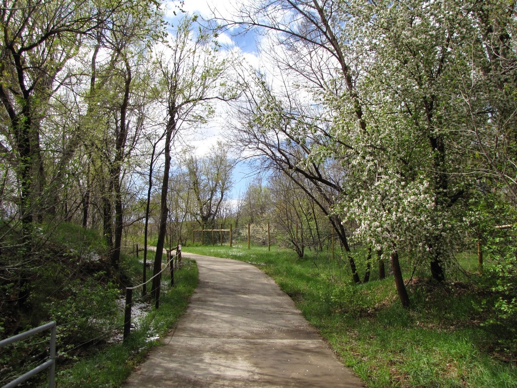
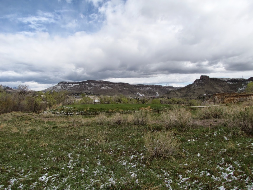
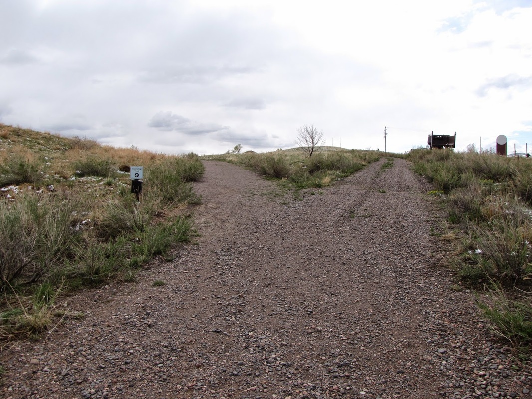
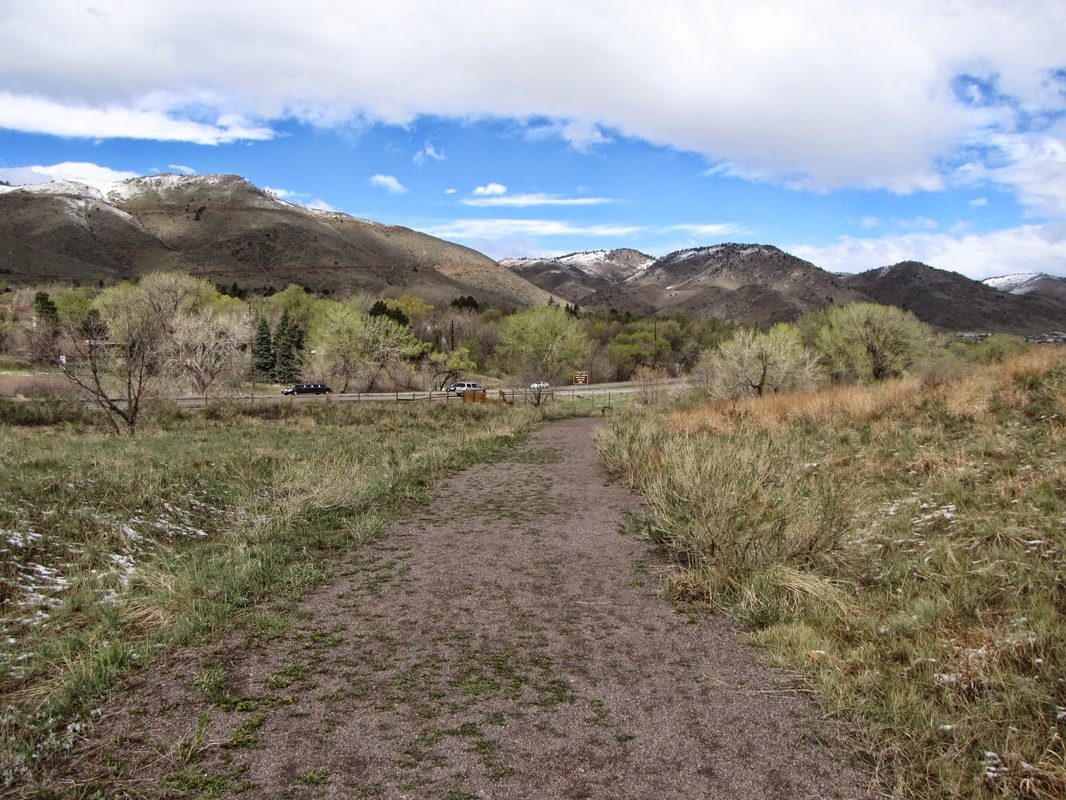
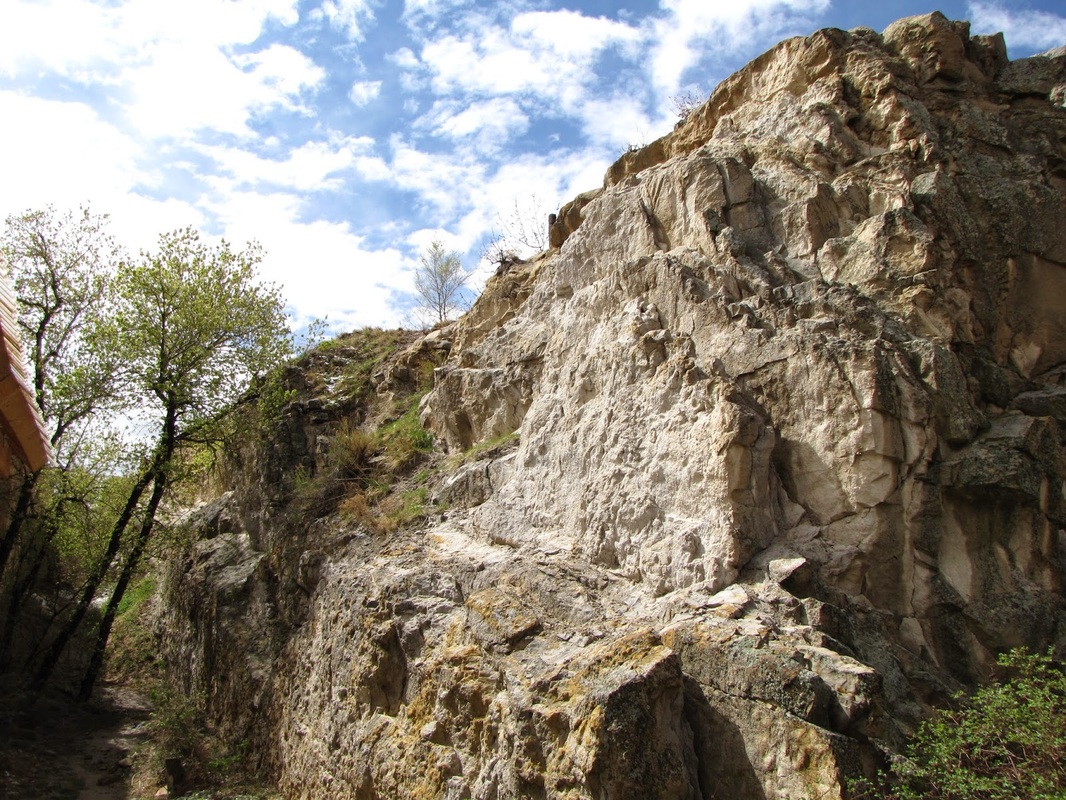
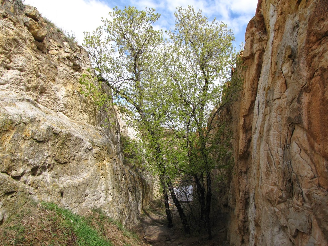
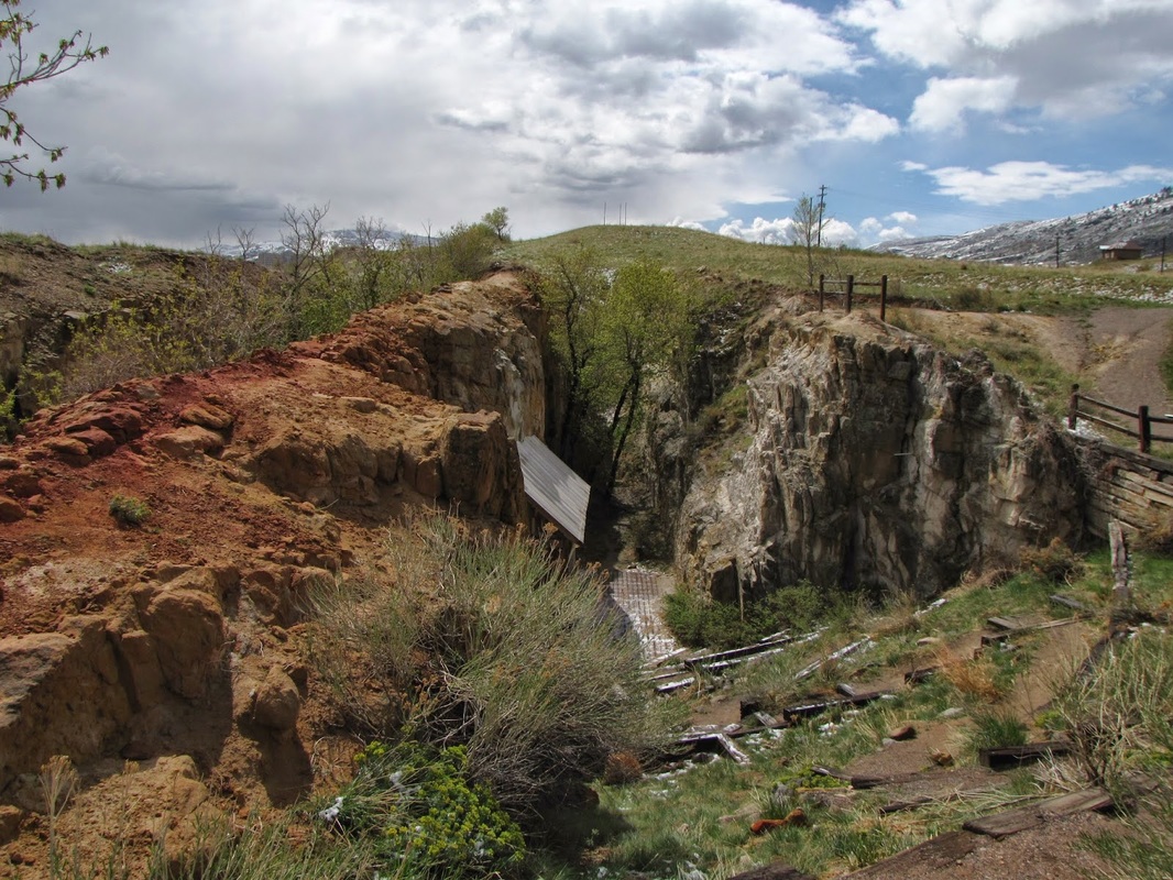
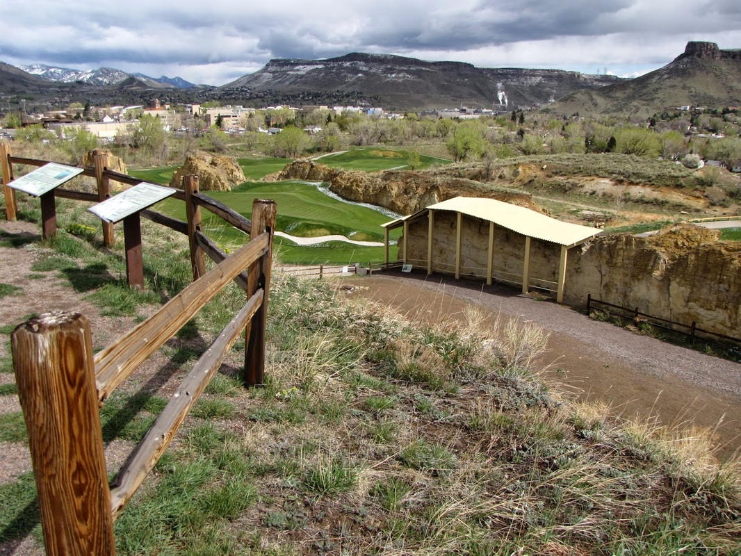
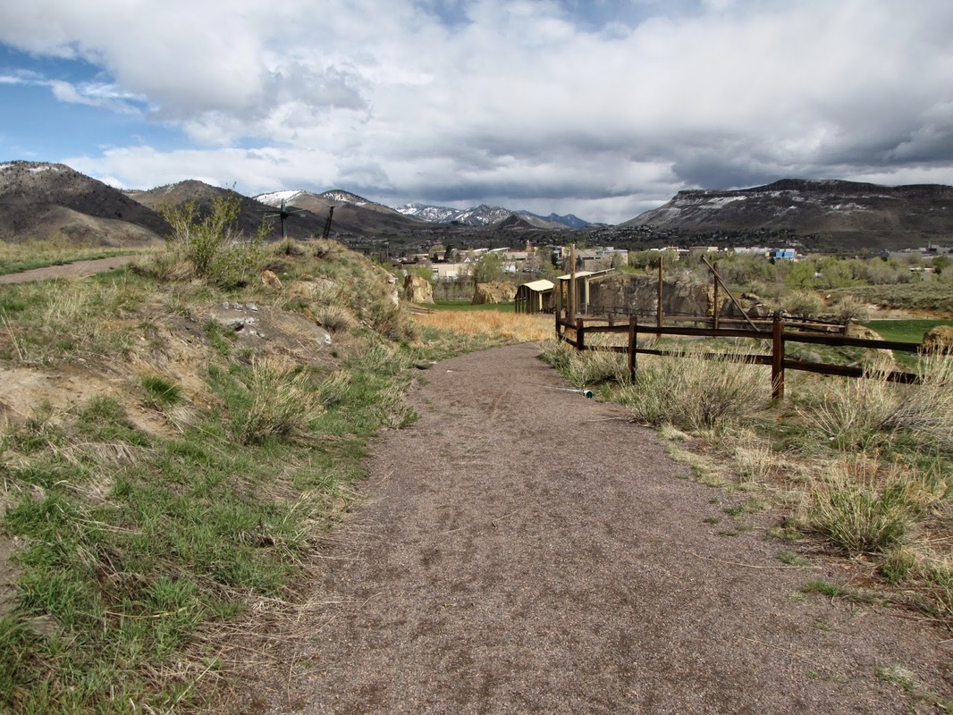
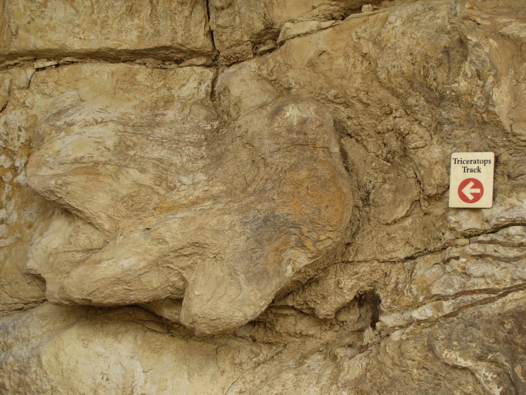
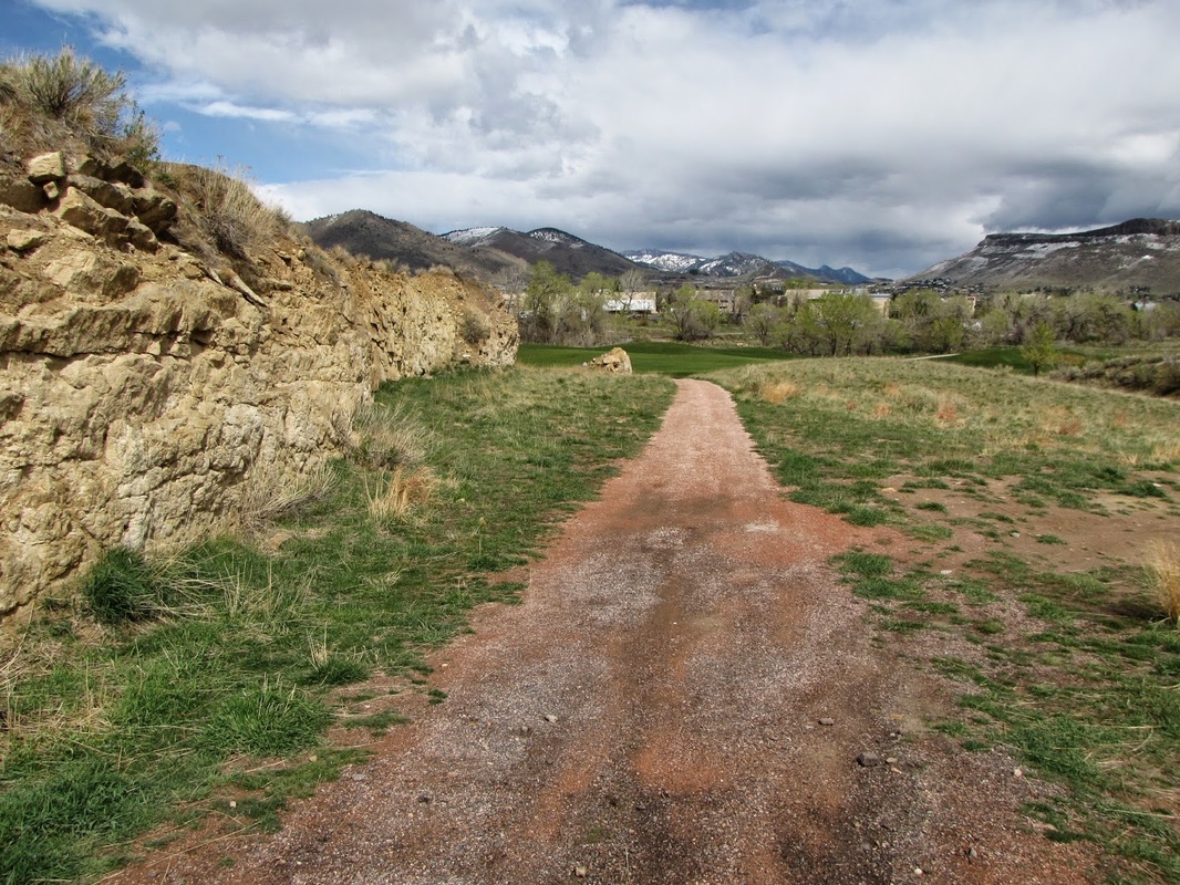
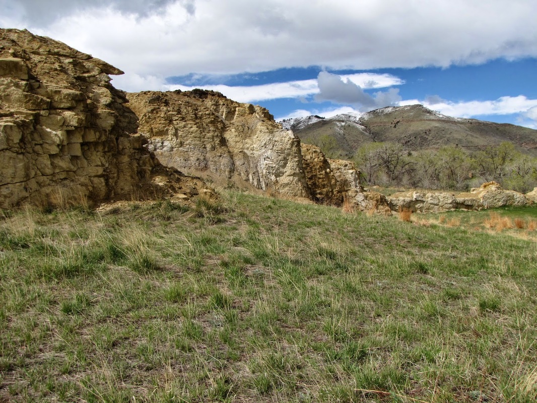
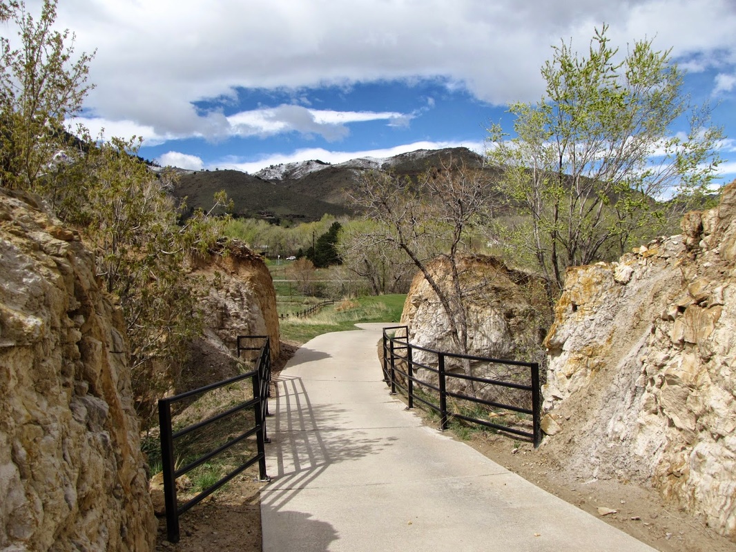
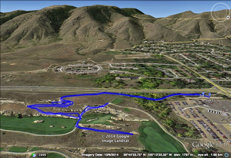
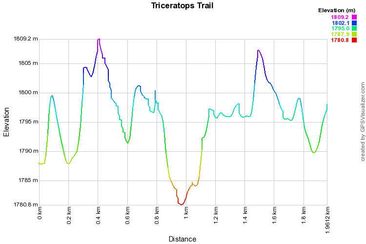
Take 6th Ave West to 19th Street.  Turn right onto 19th street and take the first right into a School of Mines Parking Lot.  Pay before parking at the meter (weekends are free).  Turn right and drive to the back right of the lot (back toward 6th Ave).  Park there and walk up to the bike path. You will see a kiosk for Triceratops Trail with information and a map.  Follow the bike path to the left making a left turn at the gravel Trailhead for Triceratops Trail.  Follow your route back after your visit.

The Triceratops Trail is part of Dinosaur Ridge, an organization that also manages the Dinosaur Ridge Visitor Center and trail near Matthews-Winters Park.  The Dinosaur Ridge locations were recently designated as part of the Morrison-Golden Fossil Areas National Natural Landmark, a program administered by the National Park Service.   Triceratops Trail is remarkable for the fossilized triceratops foot prints as well as 68 million year old plant fossils.

The trail starts along a paved road and becomes gravel and natural surface as you head towards the golf course.  There are signs that point the way and take you down to a deep cut in the bedrock.  The trail follows the ridge of this cut and leads to an exposed rock wall with the fossils and interpretive signs.  The hike is short and easy and extremely educational.  Kids and adults alike will find the fossilized remains fascinating and enjoy taking a walk back in time to Colorado’s ancient past.
Powered by Create your own unique website with customizable templates.