|
Directions: From Denver, take I-70 East for 44 miles to exit 322, just past Peoria, Colorado. Exit the highway and follow the signs to head east on CO-40. Follow CO-40 for 4 miles to the parking area and trailhead.
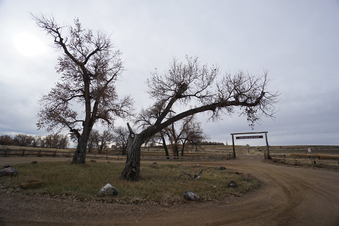
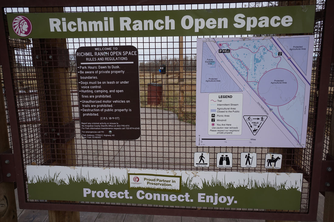
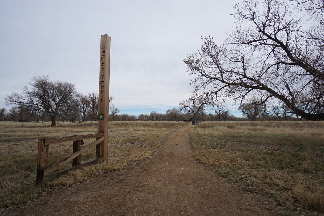
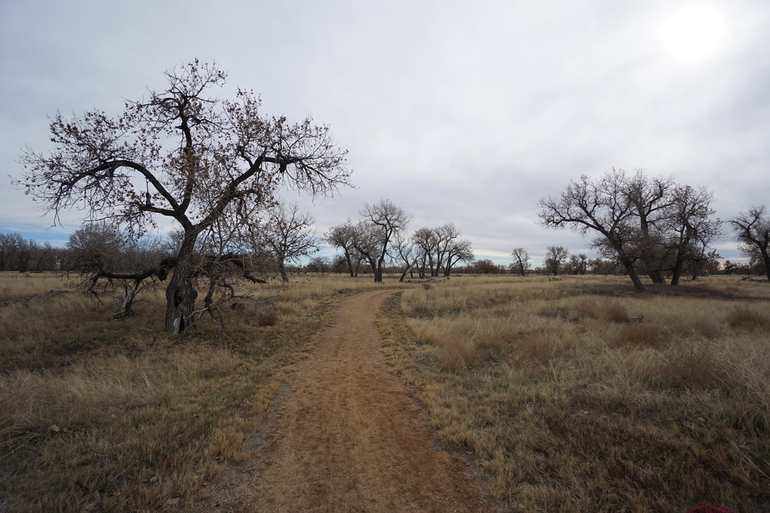
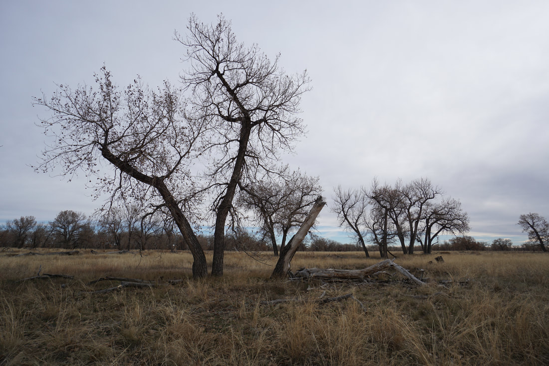
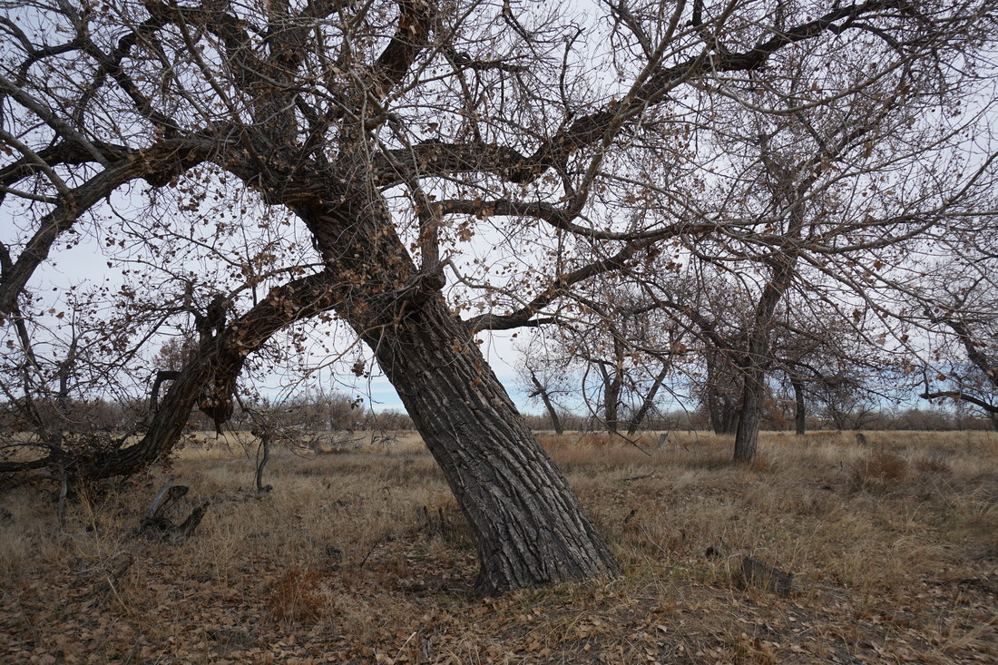
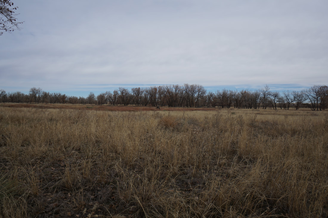
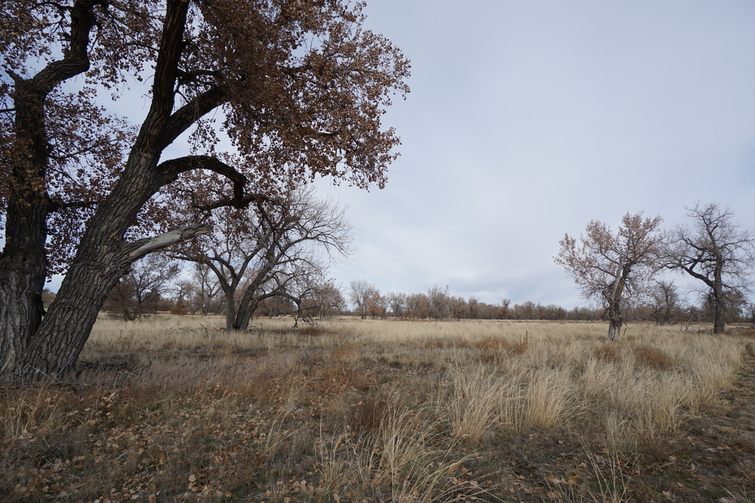
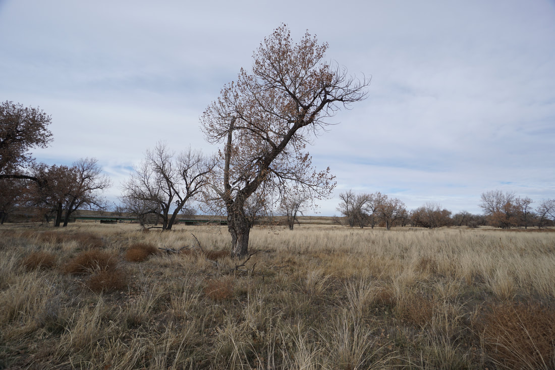
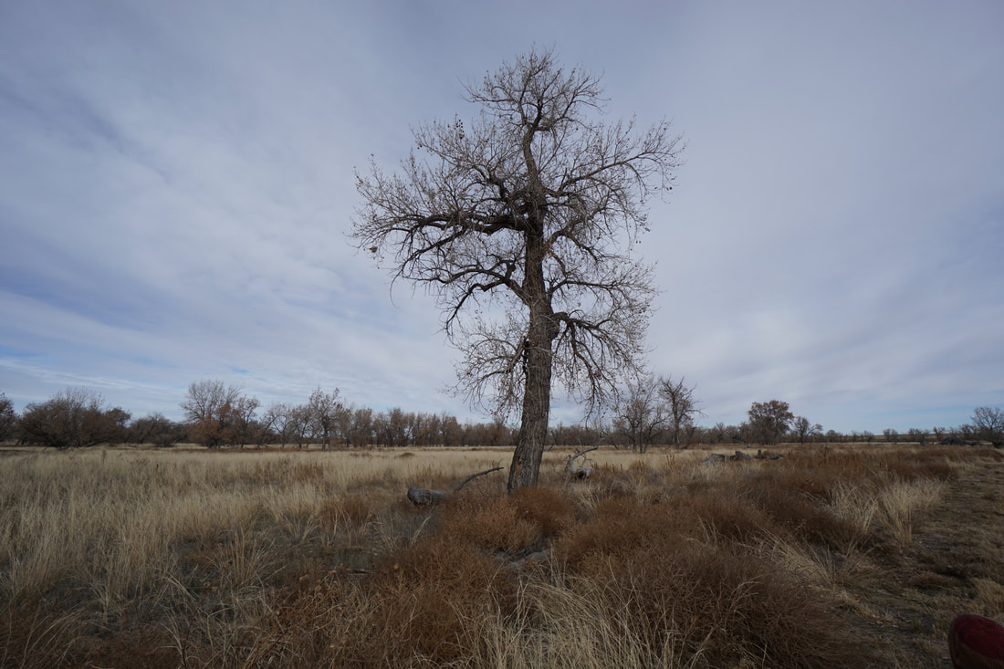
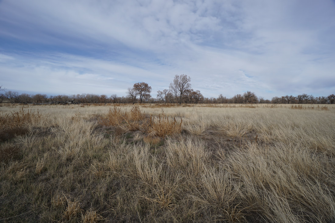
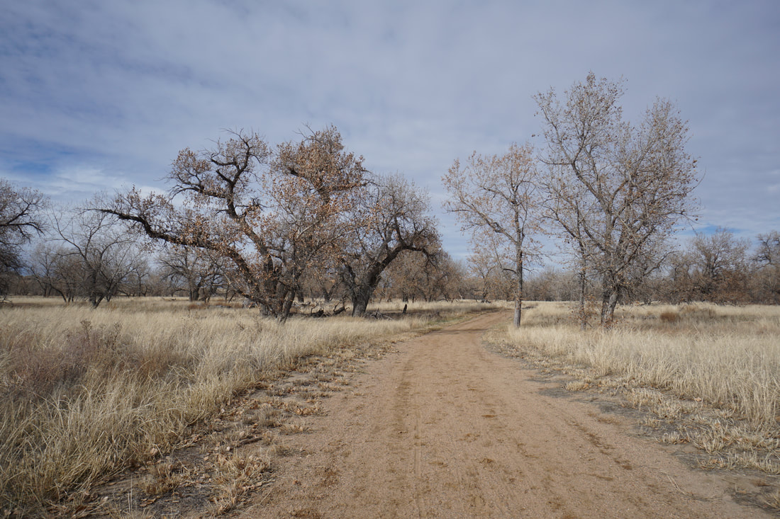
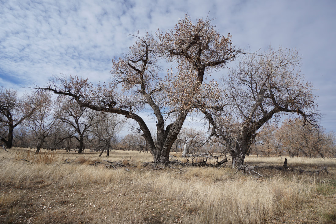
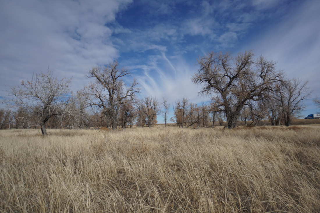
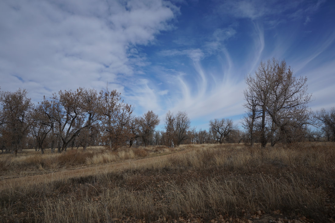
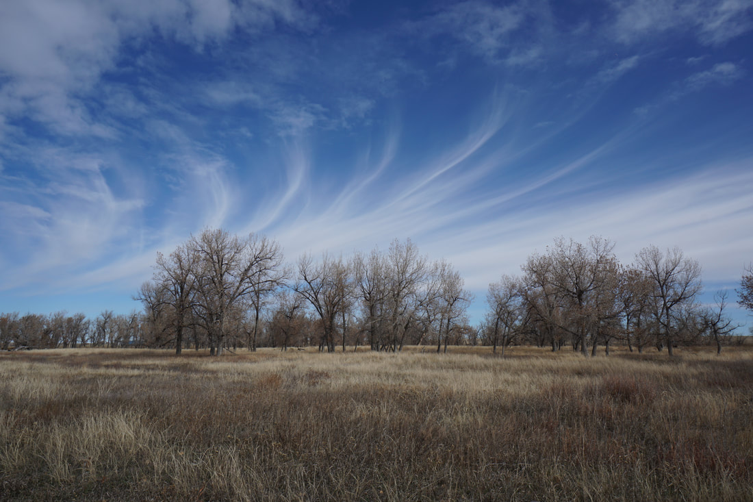
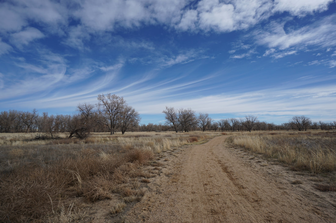
Richmil Ranch is a small open space park, about an hour east of Denver on Colorado's Eastern Plains. The park has a peaceful loop trail that is easy for hikers of all ages. The trail highlights tall prairie grasses and cottonwood trees. If you are lucky you might even spot coyotes, foxes, and other prairie critters.
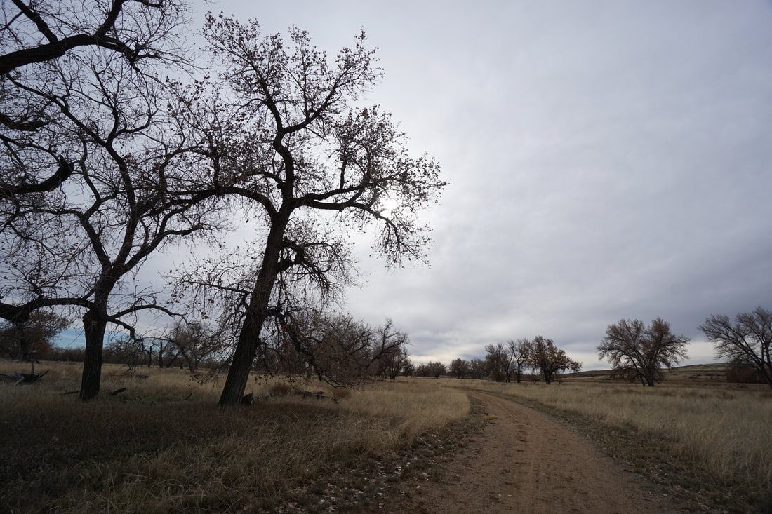
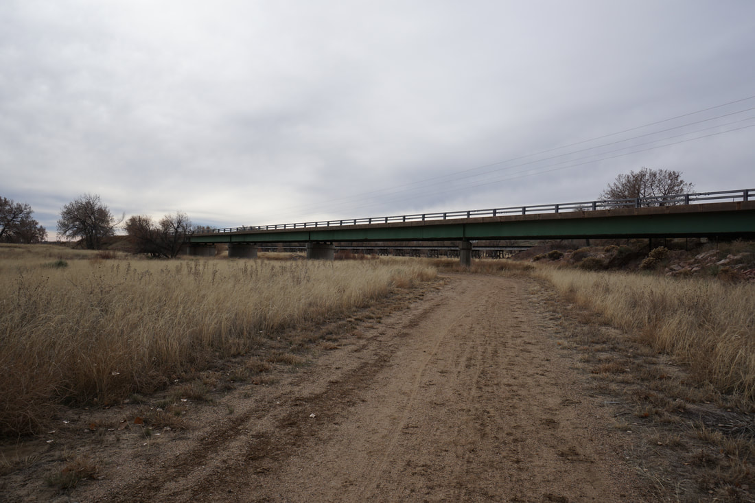
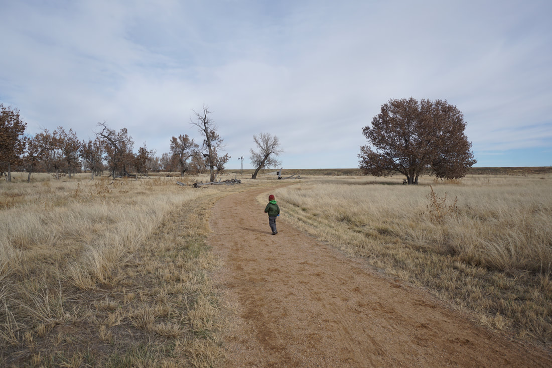
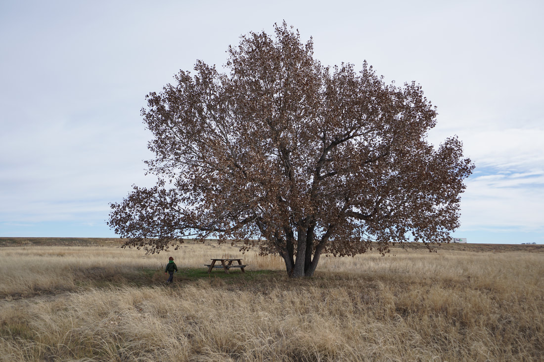
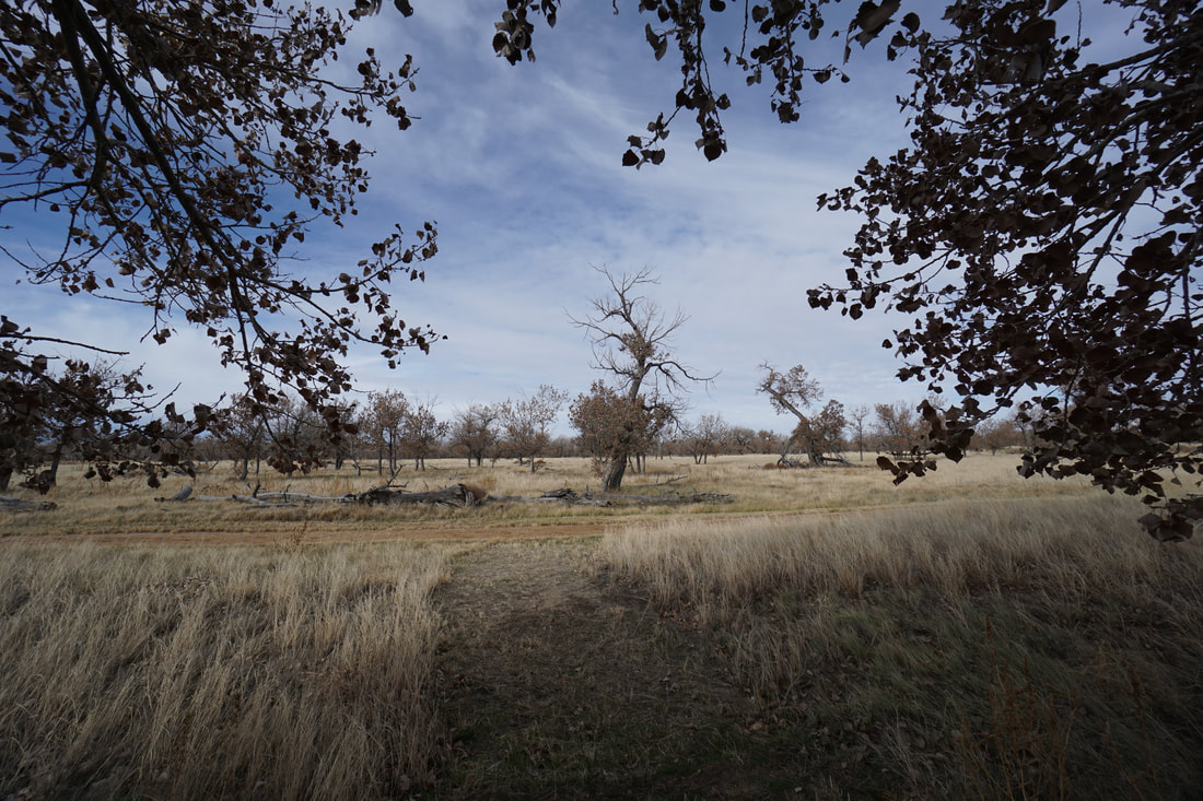
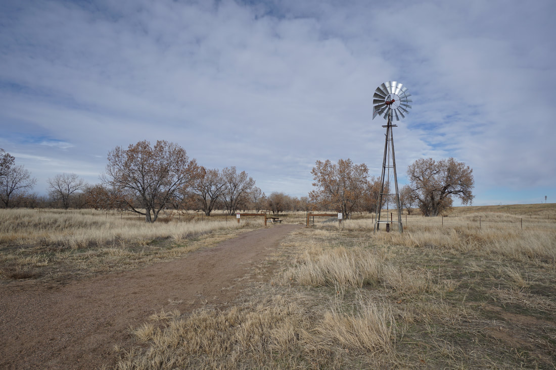
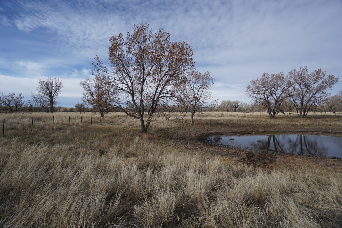
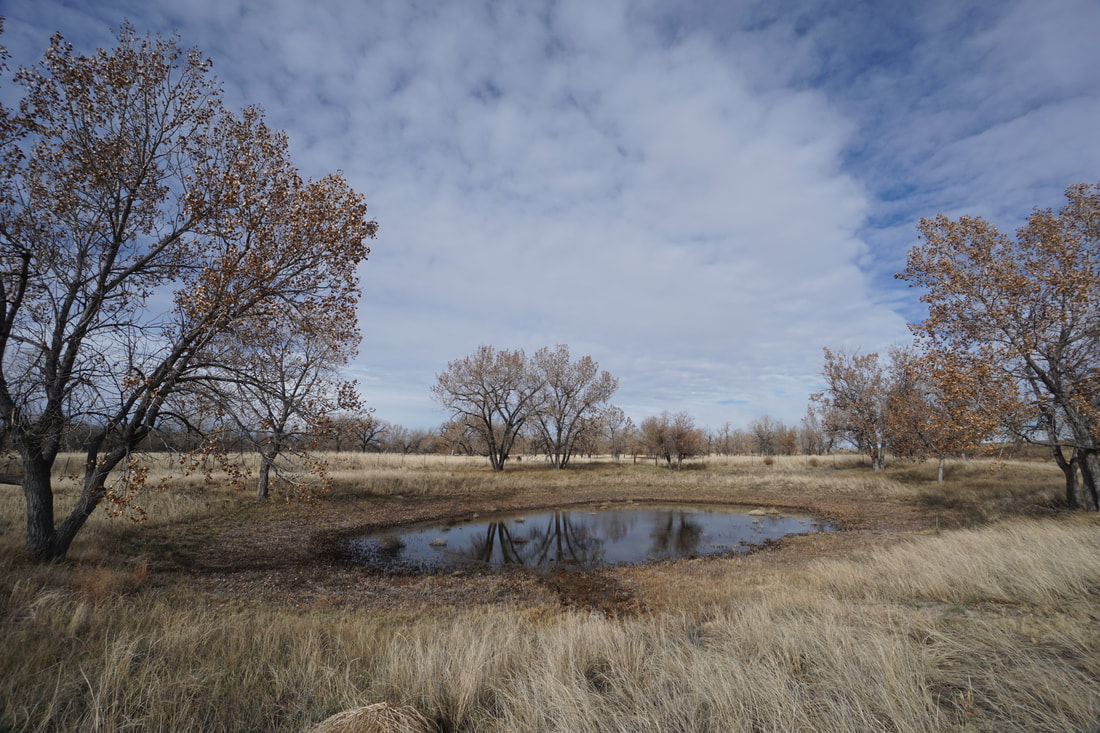
From the parking area, with nice picnic tables and vault toilets, the trail enters the park and quickly splits. You can follow the loop either way without much difference. The trail weaves in an out of peaceful stands of cottonwood trees and crosses the seasonal East Bijou Creek before arriving at the next trail junction. Here you have two options, turn left (north) to stay on the shorter loop (as described here), or turn left to follow the circular trail around the agriculture area. You'll see on the map that this area forms a perfect circle of trail. Following the circle adds about .8 miles to your hike. If you forego the extra portion, the trail heads north and turns back to the west after only .2 miles. At the trail junction is a nice picnic table under a picturesque tree and soon after, the old windmill and pond. Continue as the trail re-enters the cottonwood trees, crosses East Bijou Creek again and heads back to the trailhead. Even though this park is located right along I-70, it is very peaceful and a nice way to experience the Eastern Plains without driving too far from Denver. If you time it just right, the fall colors on the cottonwoods should be spectacular. |
|
- HOME
- ABOUT
-
HIKES BY REGION
-
NATIONAL PARK HIKES
- BENT'S OLD FORT NATIONAL HISTORIC SITE
- BLACK CANYON OF THE GUNNISON NATIONAL PARK
- COLORADO NATIONAL MONUMENT
- CURECANTI NATIONAL RECREATION AREA
- DINOSAUR NATIONAL MONUMENT
- FLORISSANT FOSSIL BEDS NATIONAL MONUMENT
- MESA VERDE NATIONAL PARK
- ROCKY MOUNTAIN NATIONAL PARK
- GREAT SAND DUNES NATIONAL PARK
- HOVENWEEP NATIONAL MONUMENT
- SAND CREEK MASSACRE NATIONAL HISTORIC SITE
- YUCCA HOUSE NATIONAL MONUMENT
- HIKES BY CATEGORY
- NEWS
- WEBCAMS
- $UPPORT GHC
- INTERACTIVE MAP
Richmil Ranch Open Space
Arapaho County Open Space
Date Hiked: November 4, 2018
Distance: 1.8 mi (RT)
Elevation Gain: 150 ft
Elevation Min/Max: 5,116 to 5,155 ft
Trailhead Lat/Long: 39º 38' 41" N; 104º 04' 33" W
Fee: None