GO HIKE COLORADO
Get in Touch:
  • HOME
  • ABOUT
  • HIKES BY REGION
    • DENVER AREA >
      • Denver Mountain Parks
      • Jefferson County Open Space
      • Lakewood Parks
      • Denver Area Greenways
    • BOULDER AREA
    • DOUGLAS COUNTY
    • FORT COLLINS AREA
    • COLORADO SPRINGS AREA
    • FRONT RANGE
    • TENMILE & MOSQUITO RANGES
    • GORE RANGE
    • SANGRE DE CRISTO MOUNTAINS
    • PARK RANGE
    • SAWATCH RANGE
    • ELK MOUNTAINS
    • SAN JUAN MOUNTAINS
    • THE FLAT TOPS
    • GRAND MESA
    • COLORADO PLATEAU
    • EASTERN PLAINS
  • NATIONAL PARK HIKES
    • BENT'S OLD FORT NATIONAL HISTORIC SITE
    • BLACK CANYON OF THE GUNNISON NATIONAL PARK
    • COLORADO NATIONAL MONUMENT
    • CURECANTI NATIONAL RECREATION AREA
    • DINOSAUR NATIONAL MONUMENT
    • FLORISSANT FOSSIL BEDS NATIONAL MONUMENT
    • MESA VERDE NATIONAL PARK
    • ROCKY MOUNTAIN NATIONAL PARK
    • GREAT SAND DUNES NATIONAL PARK
    • HOVENWEEP NATIONAL MONUMENT
    • SAND CREEK MASSACRE NATIONAL HISTORIC SITE
    • YUCCA HOUSE NATIONAL MONUMENT
  • HIKES BY CATEGORY
    • HIKES TO ALPINE LAKES
    • HIKES TO PEAKS & PASSES
    • HIKES THROUGH CANYONS
    • HIKES WITH FALL COLORS
    • HIKES ALONG THE I-70 CORRIDOR
    • HIKES ON PAVED TRAILS
    • HIKES FOR KIDS
    • HIKES TO WATERFALLS
    • HIKES ALONG RIVERS
    • HIKES WITH ROCK FORMATIONS
    • HIKES WITH WILDFLOWERS
    • WINTER HIKES
  • NEWS
  • WEBCAMS
  • $UPPORT GHC
  • INTERACTIVE MAP

Beaver Trail
Golden Gate Canyon State Park

Date Hiked: August 24, 2013

Distance:  3.5 mi (RT)
Elevation Gain: 1,000ft
Elevation Min/Max: 8,215 to 9,220ft
Managing Agency: CO Parks and Wildlife
Fee: Yes

Golden Gate Canyon SP Trail Map
Picture

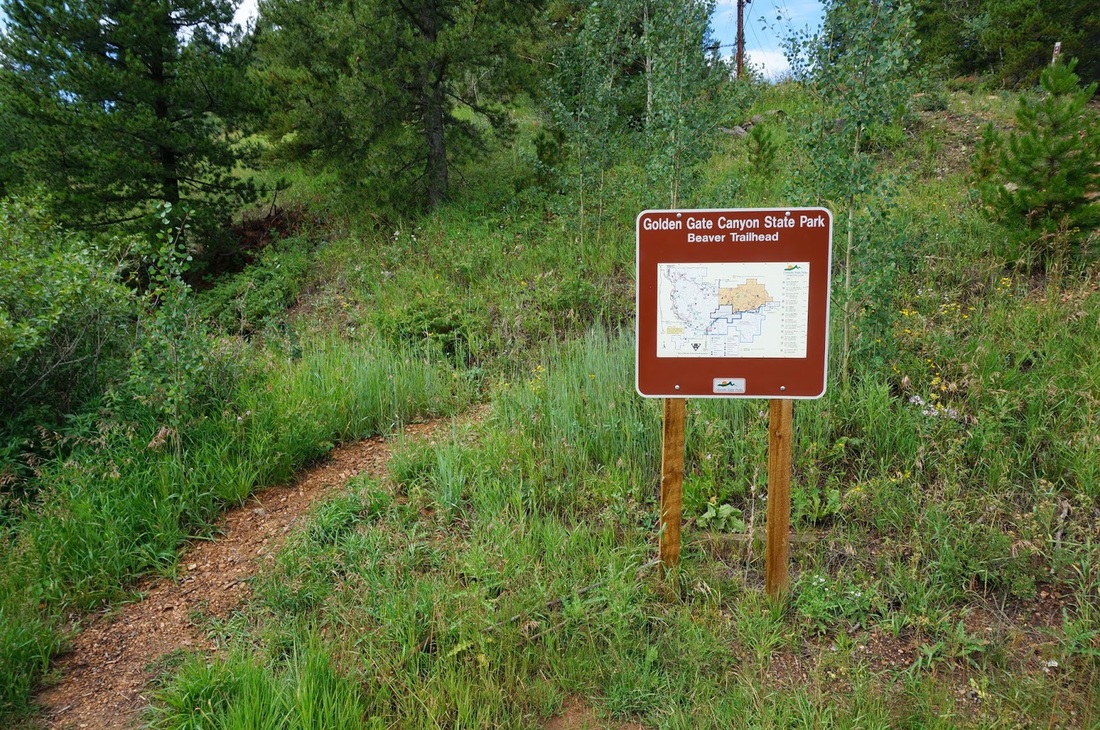
Directions:  This hike starts just across the road from the Visitor's Center.  From Denver/Boulder, take Hwy 93 to Golden Gate Canyon Road.  Head west on GGC Rd until you reach the park.  Park at the Visitor Center and cross to the other side of GGC Rd to find the trailhead.  There is a fee to enter the park.

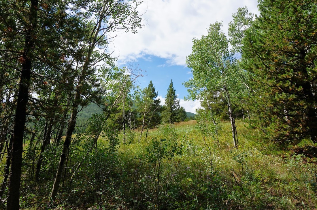
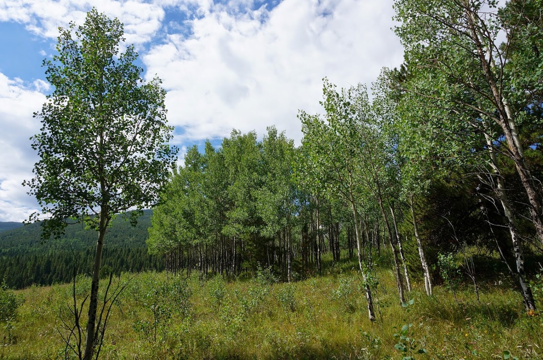
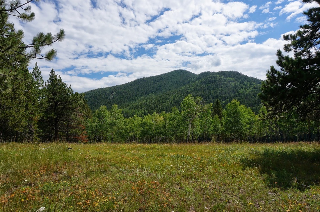
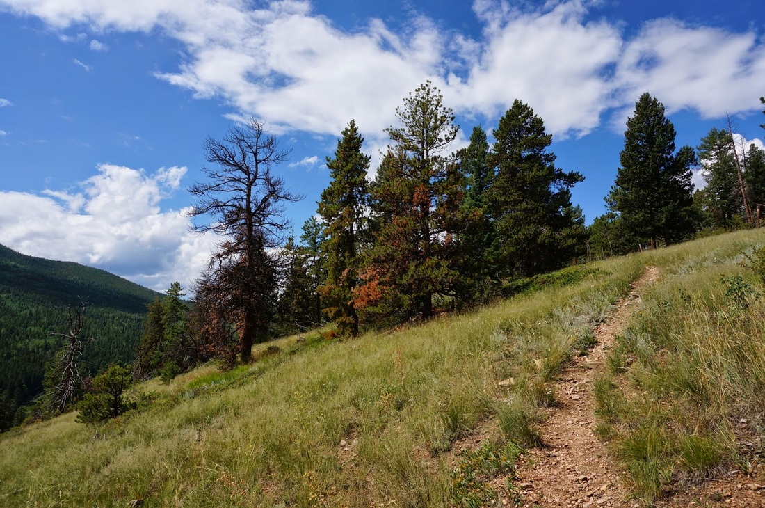
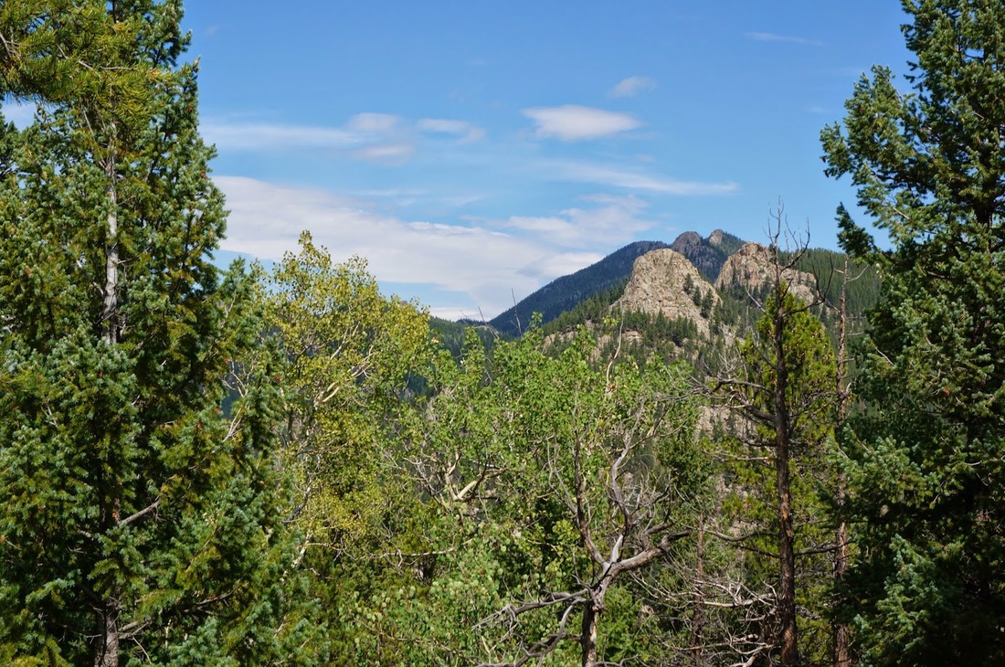
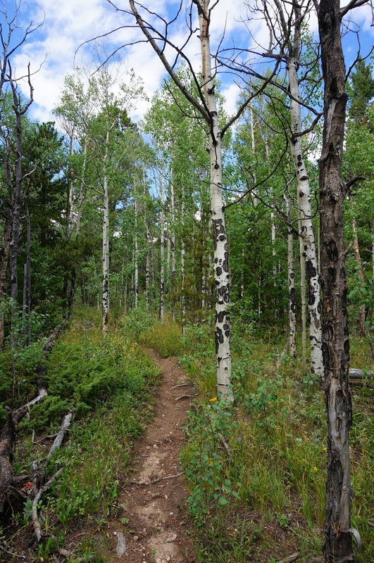
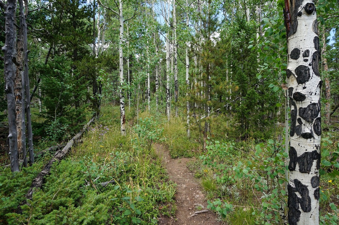
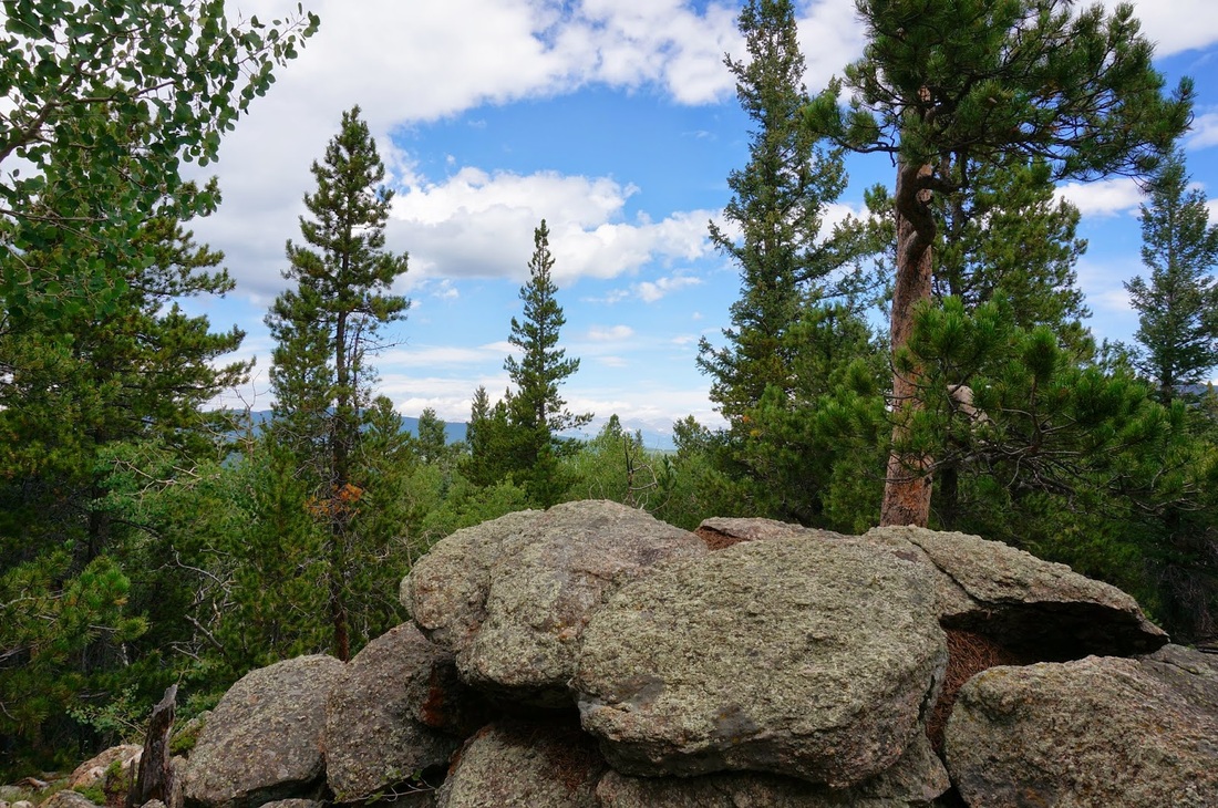
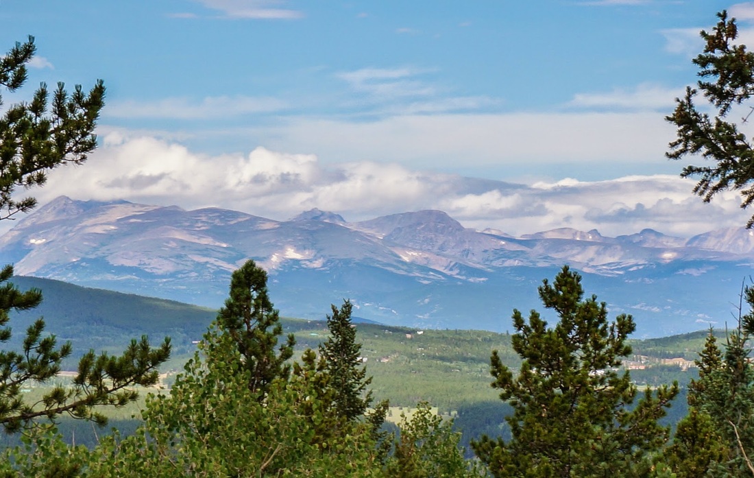
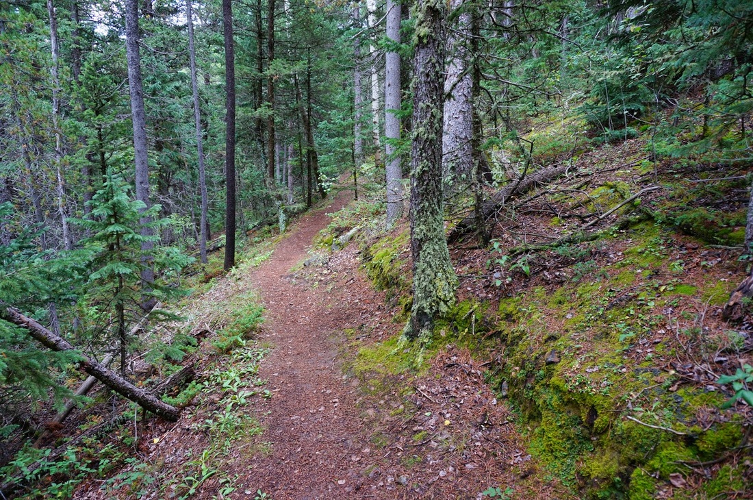
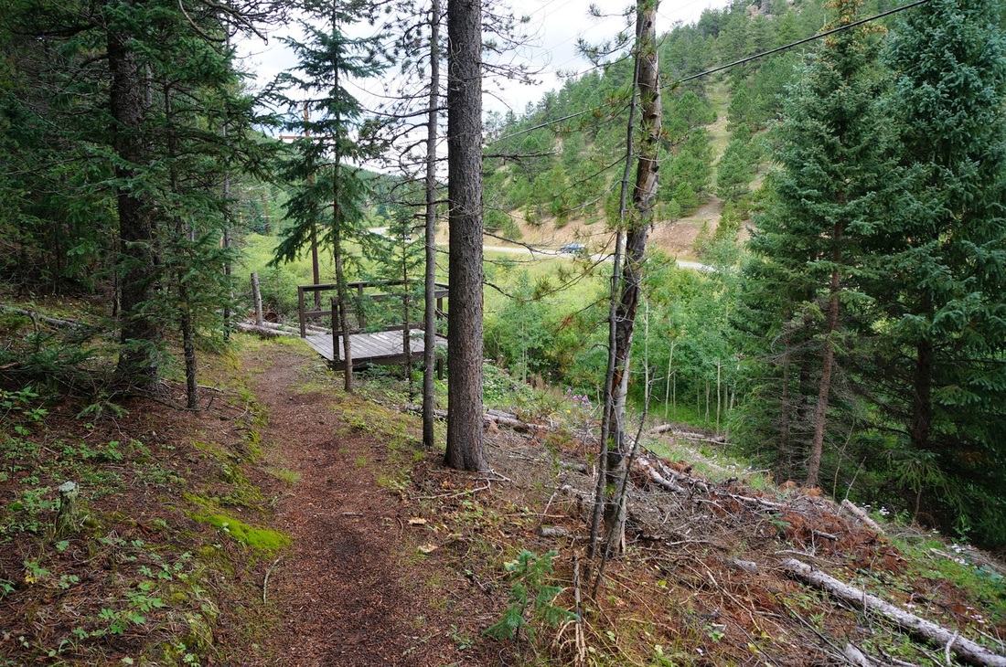
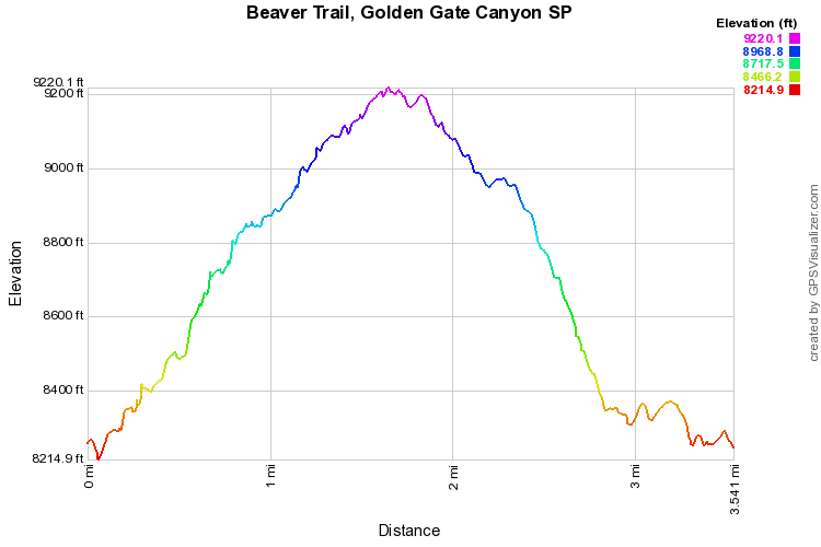
The Beaver trail leads to a campground with a covered shelter, and a nice view just behind the shelter.  The trail is through the trees for the entire hike, with small views through the trees from time to time.  The trail winds up a semi-steep slope through aspen forests, making this a nice fall colors hike.  When you reach the campground and the shelter look for the rock outcropping, there is a nice view of the Indian Peaks from here.  On your way back, you can complete the loop, and there is a short diversion to a wildlife viewing platform. 
© Go Hike Colorado, 2020.  All Rights Reserved. 
Use of photographs without prior authorization is
​strictly prohibited.


Contact us at:
[email protected]
Legal Disclaimer - Information provided on this site is based upon our own observations, always double check information with the appropriate land management agency before heading into the backcountry.  Backcountry travel is inherently dangerous, please take all proper precautions.  Go Hike Colorado is not responsible for injury or incident.