|
Directions: From Denver take I-25 north to I-76 east. Exit onto Hwy 85 heading north. Turn left onto 104th Ave and the park is on the right.
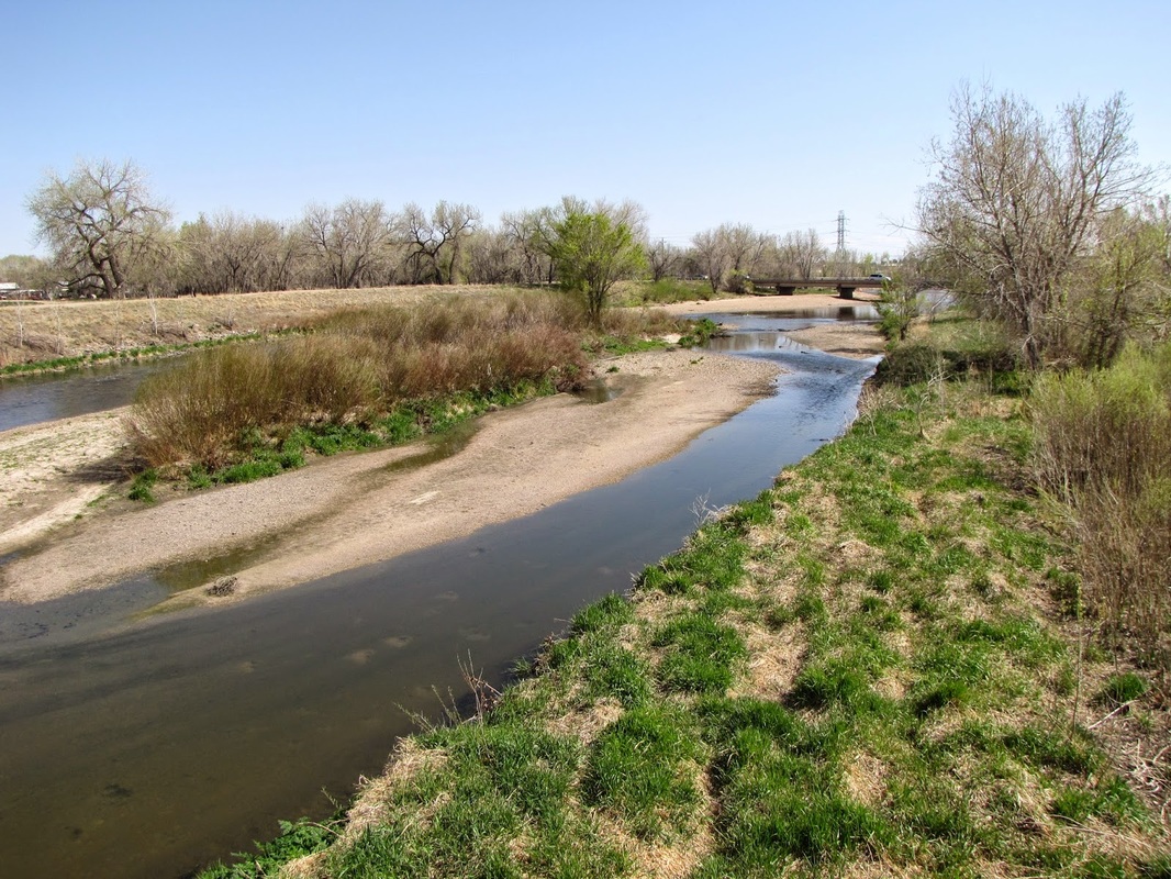
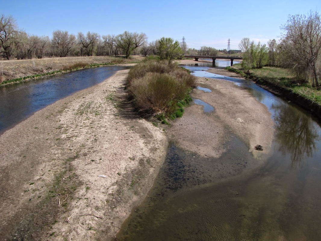
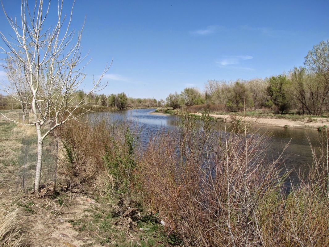
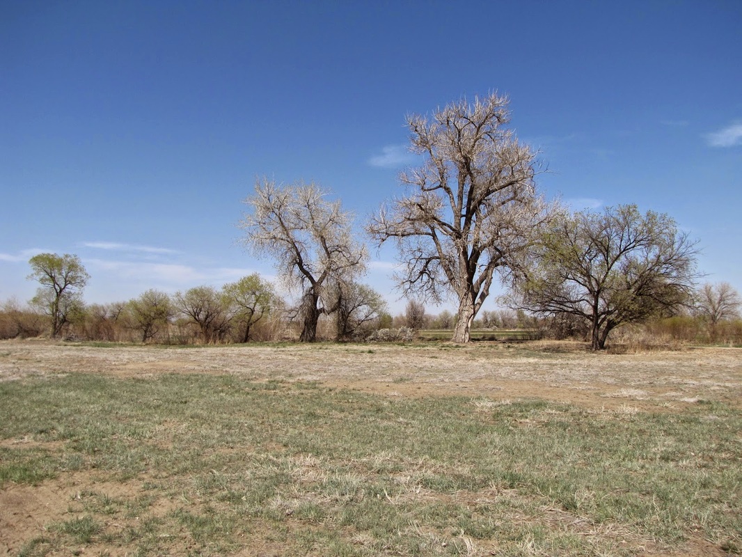
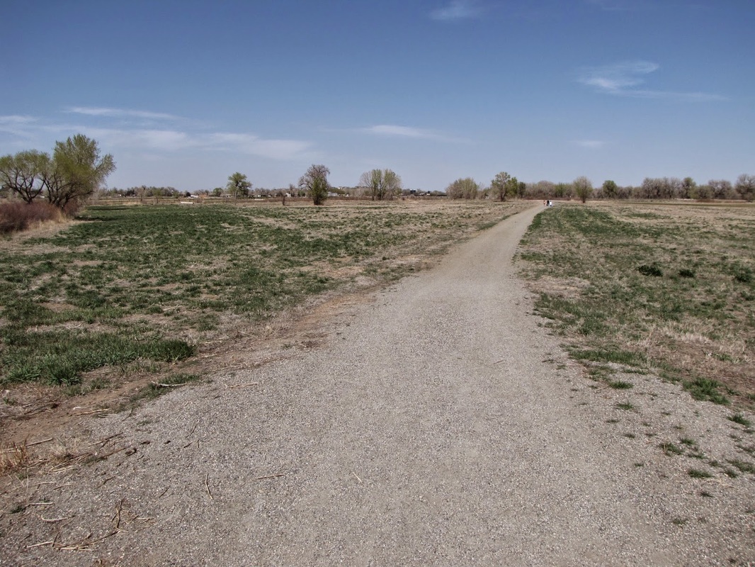
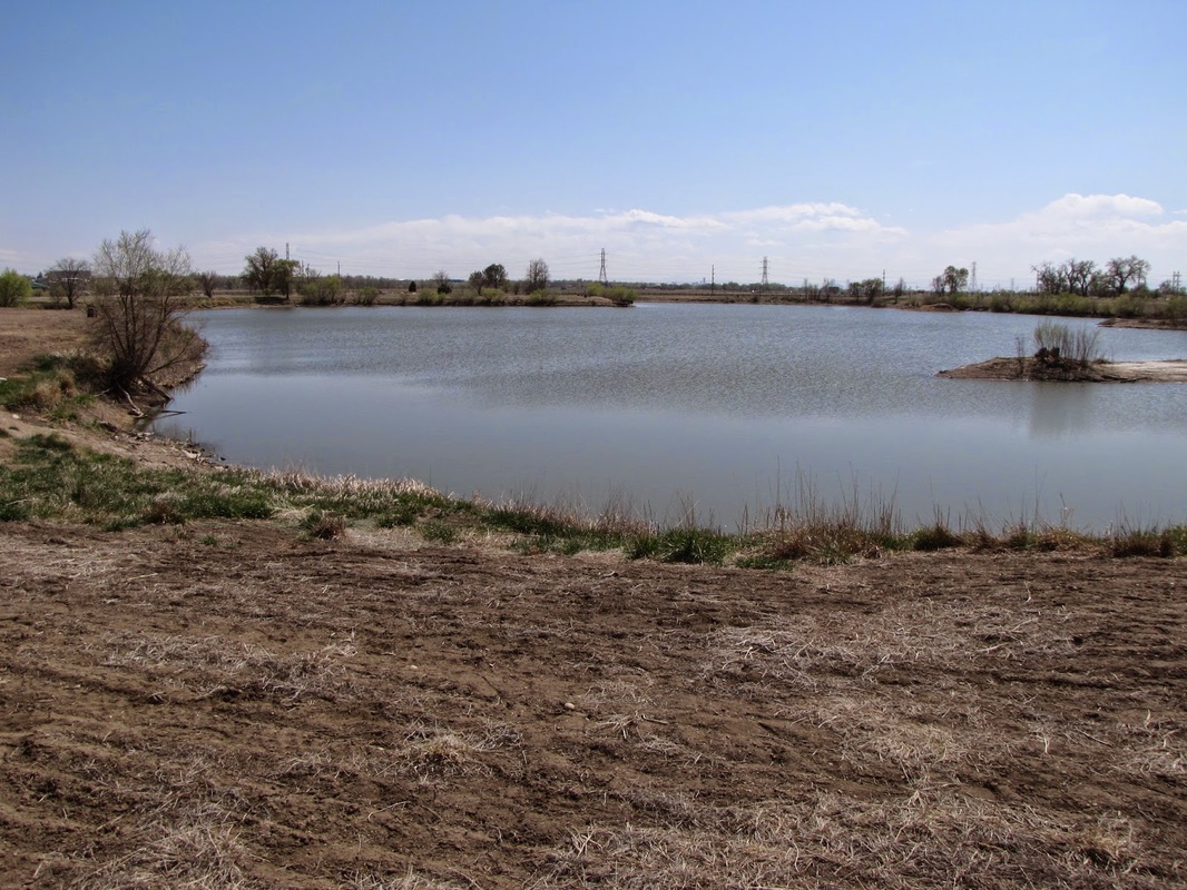
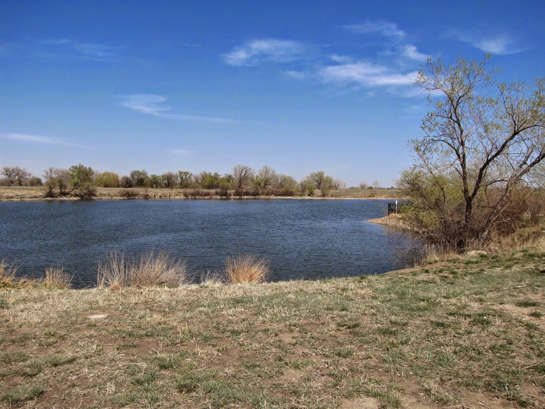
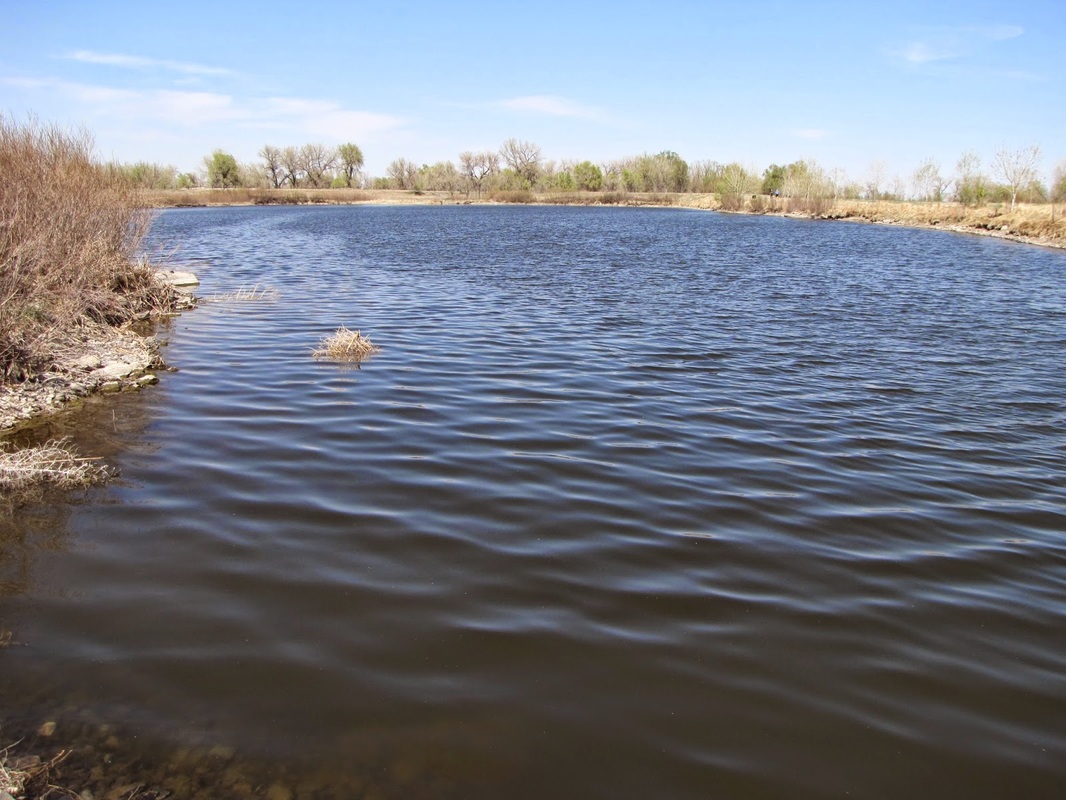
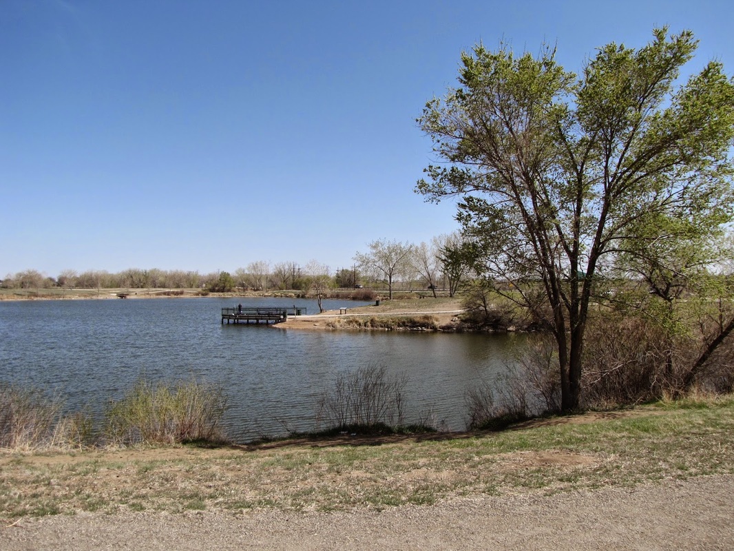
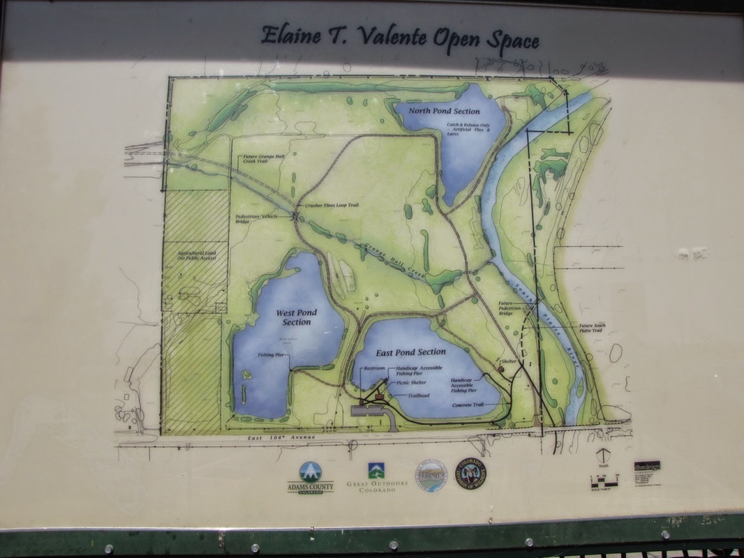
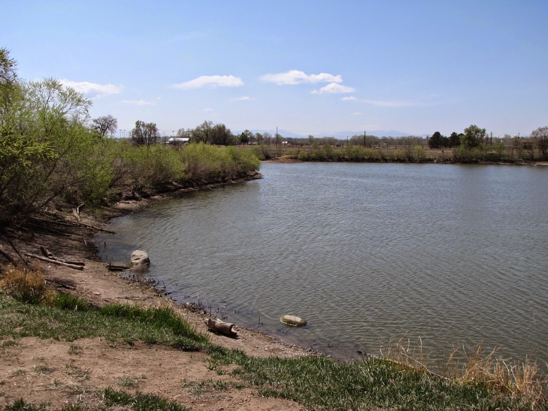
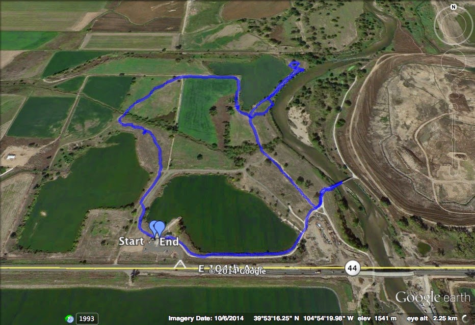
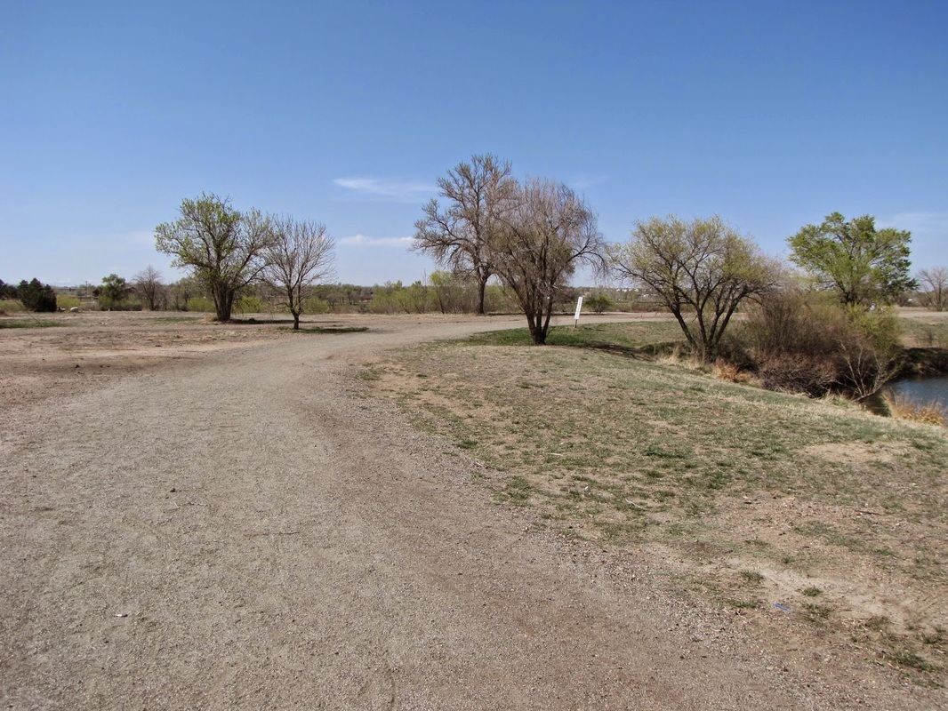
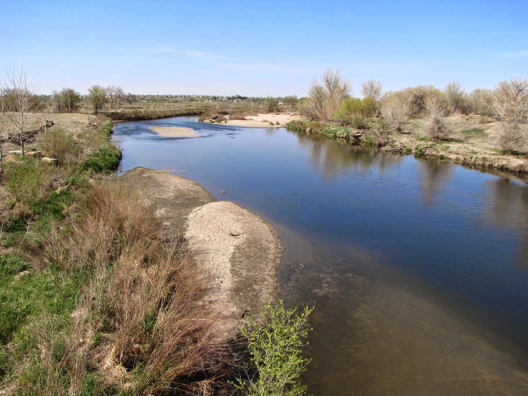
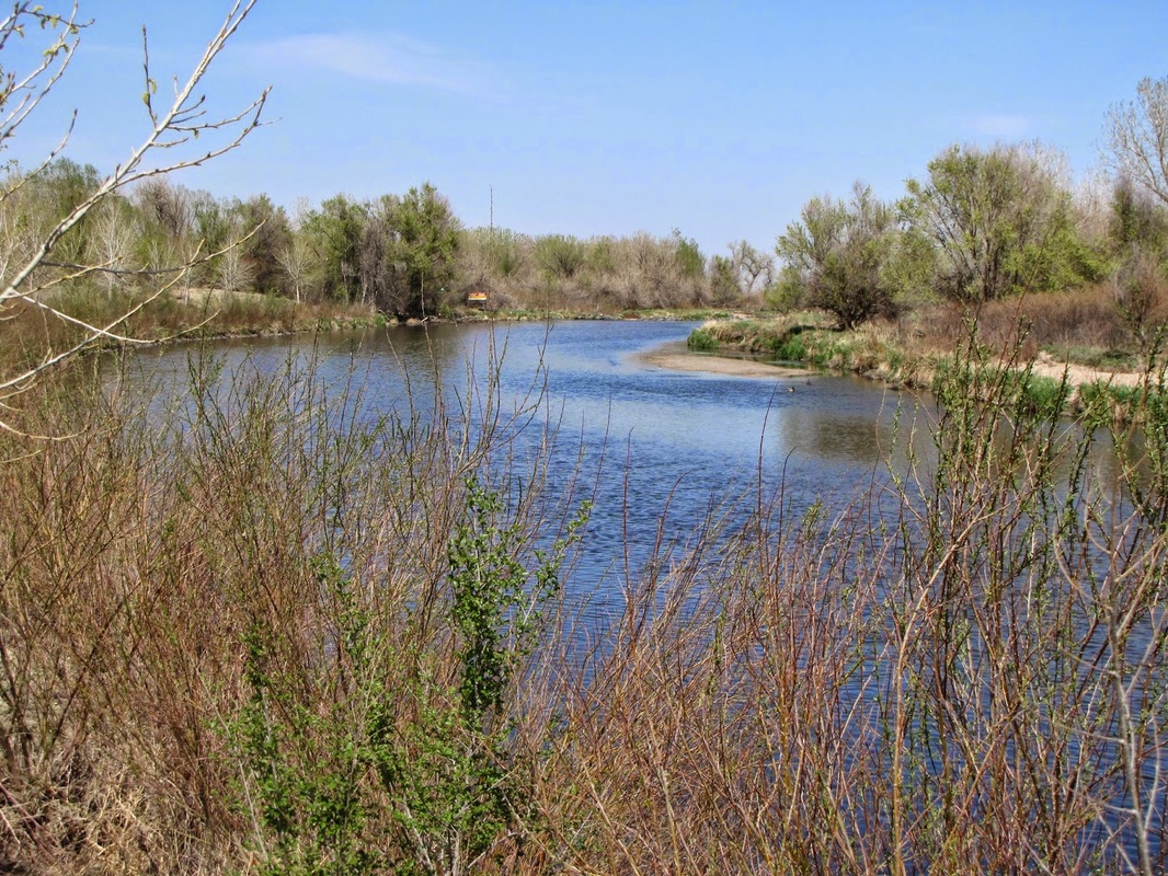
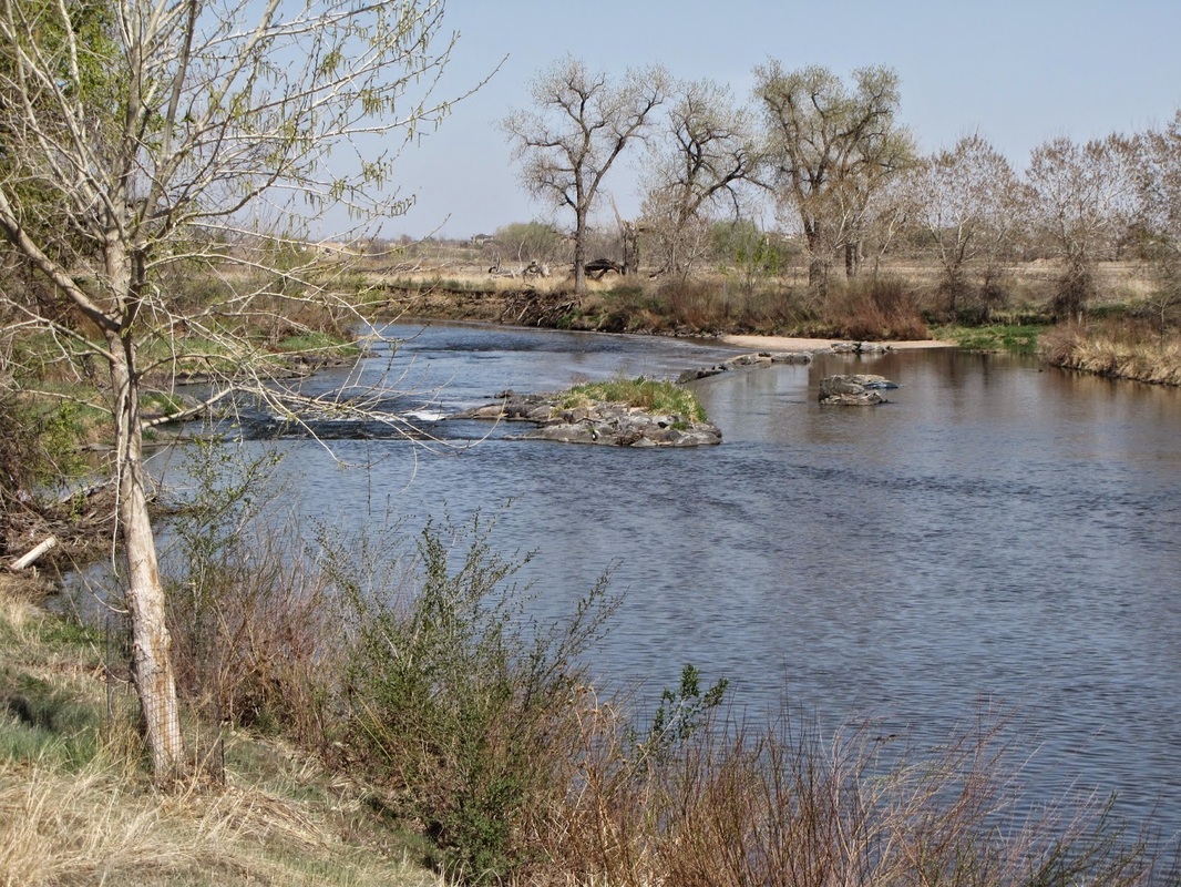
Elaine T. Valente Open Space consists of a series of natural surface loops around ponds that run along the South Platte River. The trailhead is located along 104th Ave on the south shore of East Pond. From the trailhead head east on a paved trail along the pond and turn left (north) on the natural surface trails. The trail leads north to the eastern shore of North Pond where it abruptly ends. Head back south and turn right (west) to traverse the western shore of North Pond and across the plains. The trail will wind back south, cross Grange Hill Creek and return to East Pond. |
|
- HOME
- ABOUT
-
HIKES BY REGION
-
NATIONAL PARK HIKES
- BENT'S OLD FORT NATIONAL HISTORIC SITE
- BLACK CANYON OF THE GUNNISON NATIONAL PARK
- COLORADO NATIONAL MONUMENT
- CURECANTI NATIONAL RECREATION AREA
- DINOSAUR NATIONAL MONUMENT
- FLORISSANT FOSSIL BEDS NATIONAL MONUMENT
- MESA VERDE NATIONAL PARK
- ROCKY MOUNTAIN NATIONAL PARK
- GREAT SAND DUNES NATIONAL PARK
- HOVENWEEP NATIONAL MONUMENT
- SAND CREEK MASSACRE NATIONAL HISTORIC SITE
- YUCCA HOUSE NATIONAL MONUMENT
- HIKES BY CATEGORY
- NEWS
- WEBCAMS
- $UPPORT GHC
- INTERACTIVE MAP
Elaine T. Valente Open Space
Date Hiked: April 9, 2012
Distance: 1.8 mi (RT)
Elevation Gain: Negligible
Elevation Min/Max: 5,013 to 5,096ft
Managing Agency: Adams County Parks
Fee: None