|
|
|
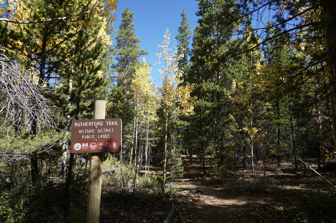
DIRECTIONS: The Rutherford Trailhead is located at the eastern end of 3rd Street. From 6th Street (Georgetown's Main Street), head south on Rose Street and turn left (east) on 3rd. There is a small parking area at the trailhead.
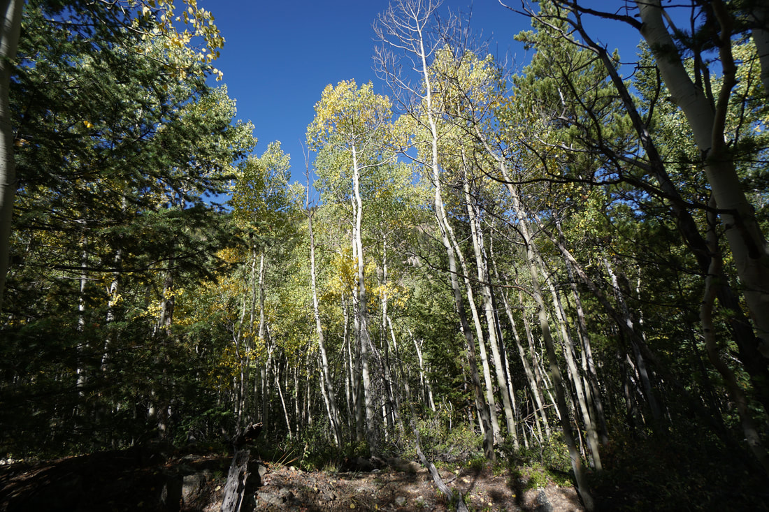
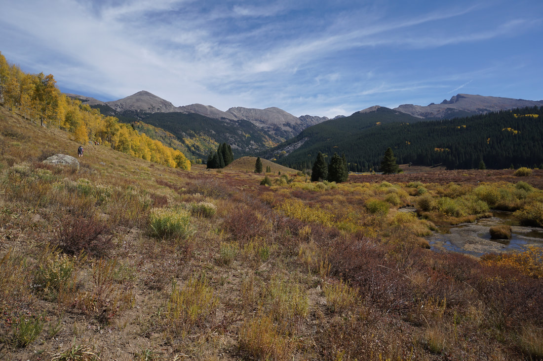
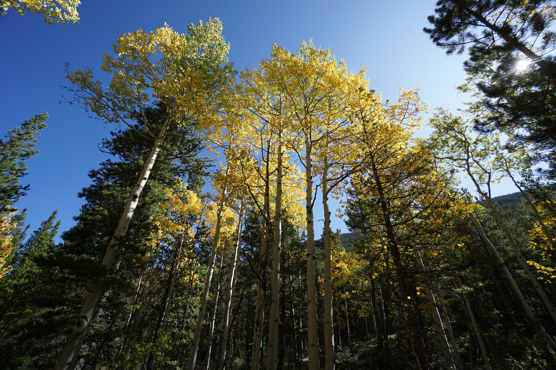
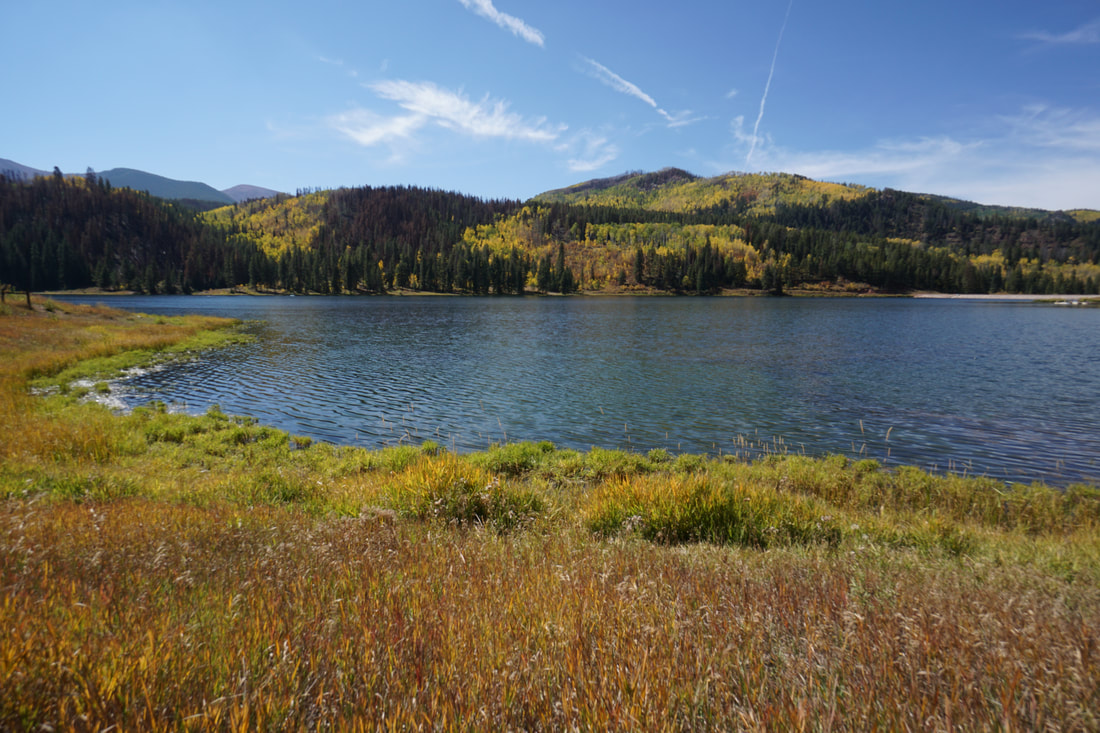
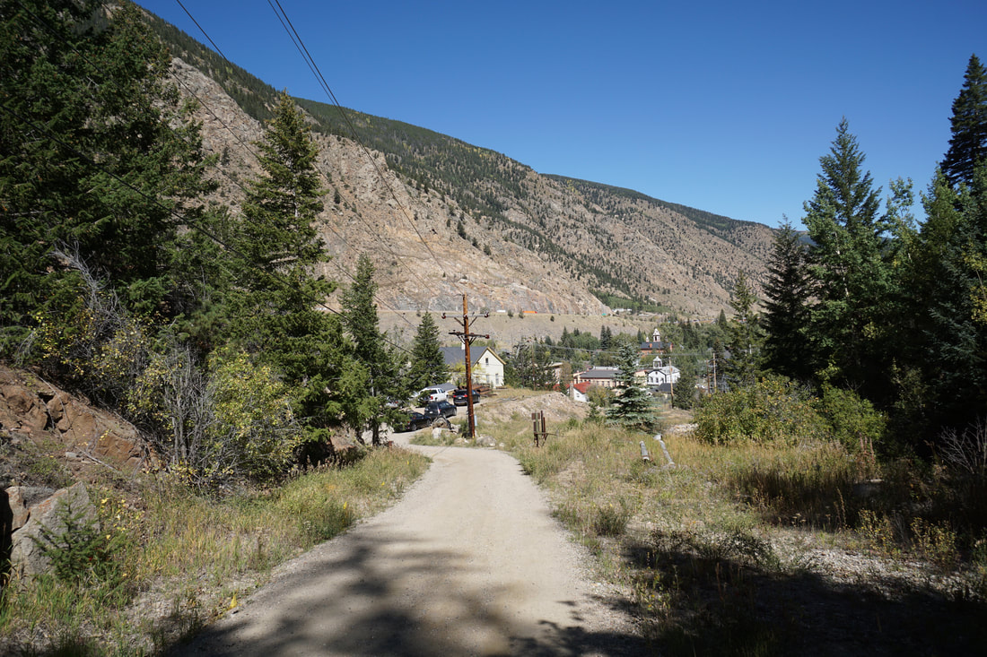
Earlier this year I posted a trip report for the Cedar Bench and Railbend Trails at the Silver Dale Historic Site along Guanella Pass Road. The short loop was almost entirely through beautiful aspen groves and I promised to return in the fall to explore this area further. In late September I hiked up to the Silver Dale Site from Georgetown via the Rutherford Trail and it sure did live up to expectations. This is a must do fall hike! While the Silver Dale site is easy accessed by driving up Guanella Pass road from Georgetown and parking at the site, I strongly suggest hiking there instead. The Rutherford Trail is amazing and the extra effort makes the reward that much sweeter.
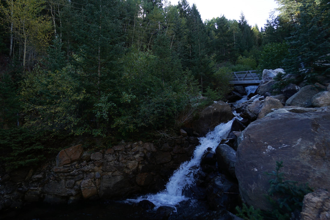
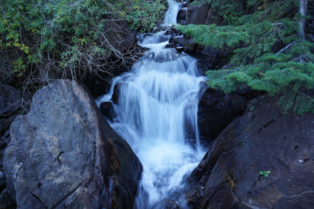
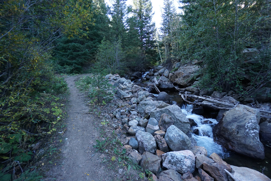
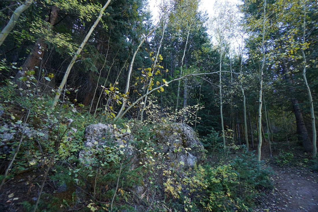
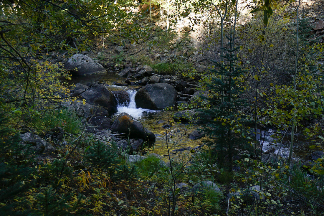
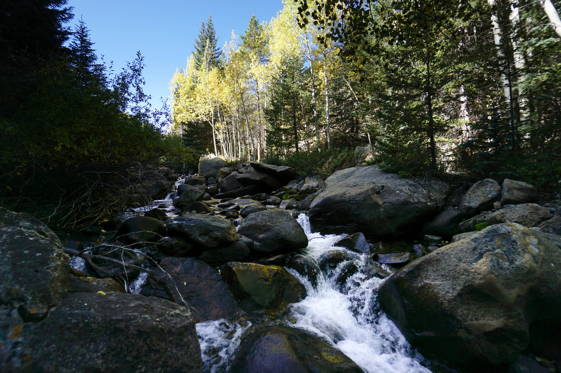
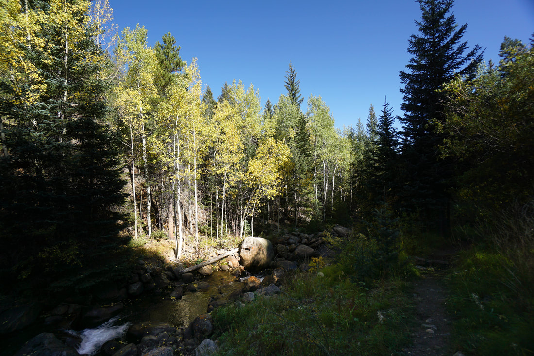
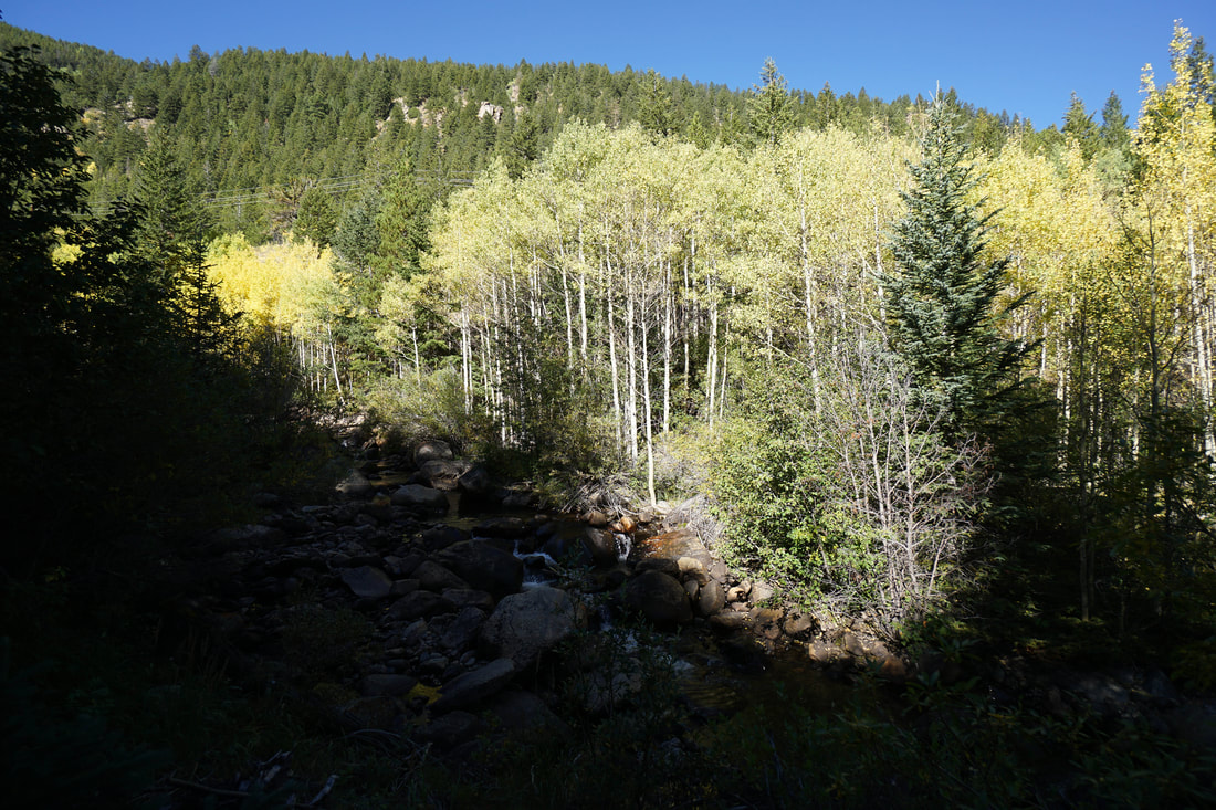
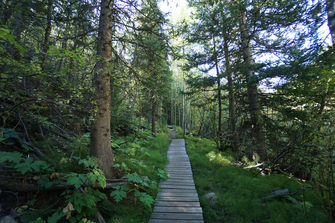
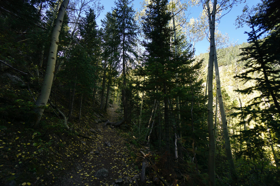
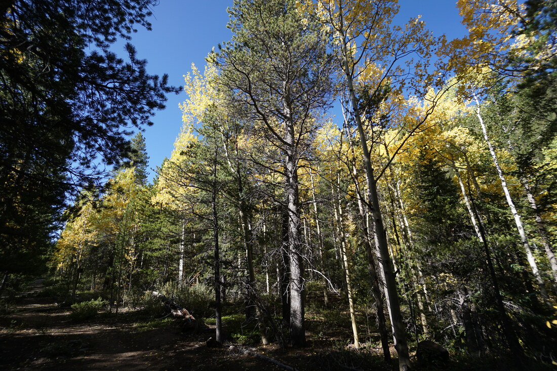
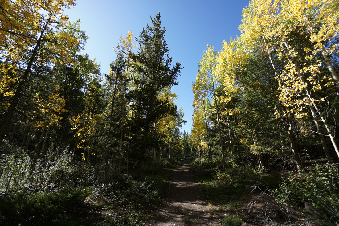
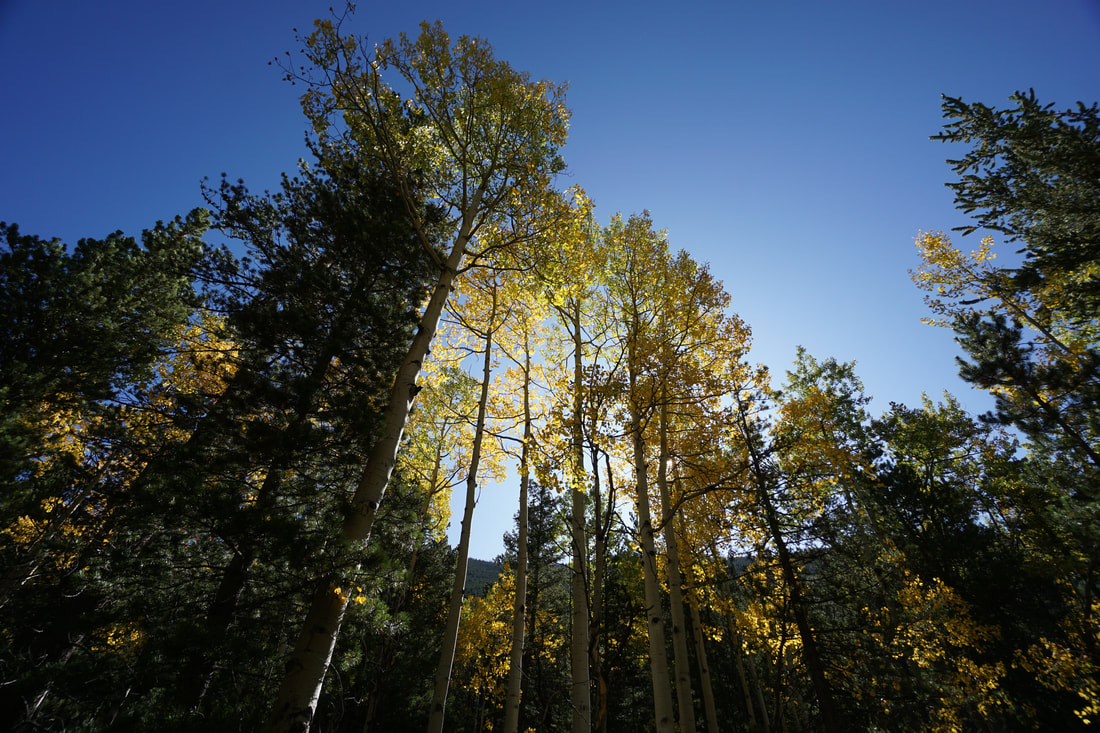
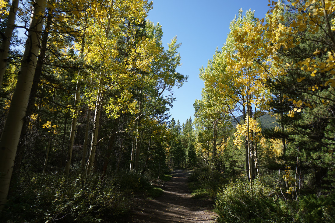
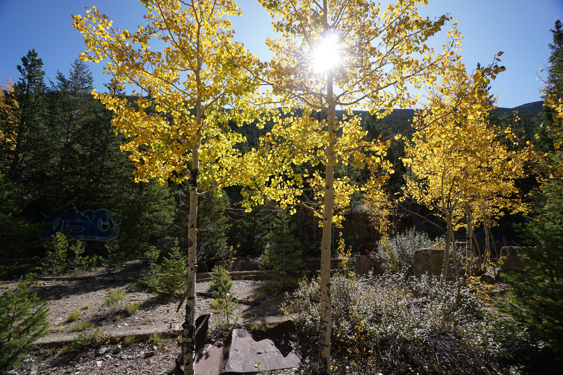
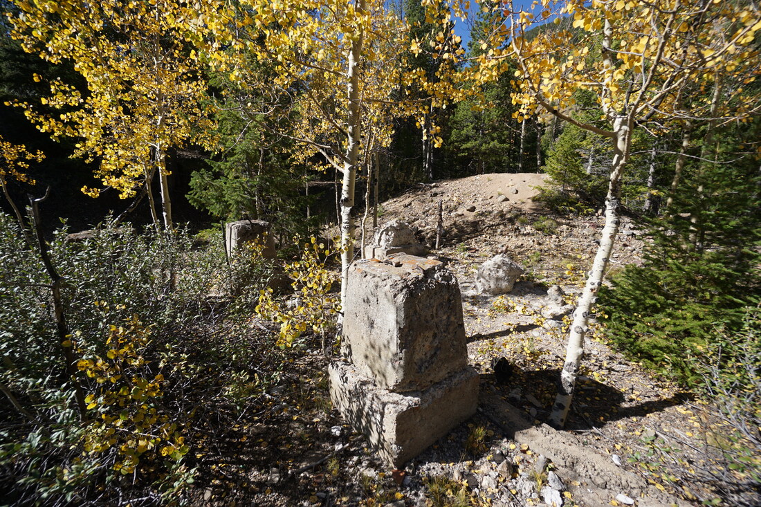
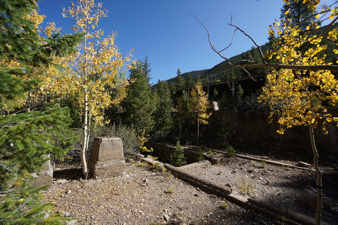
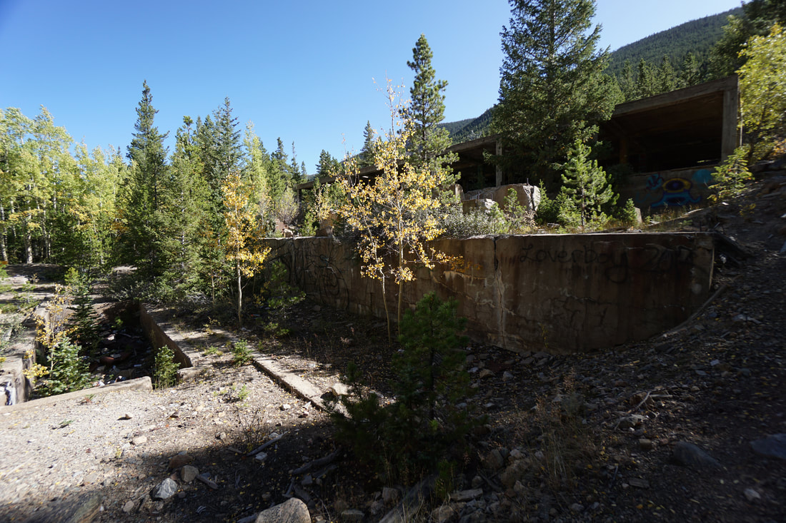
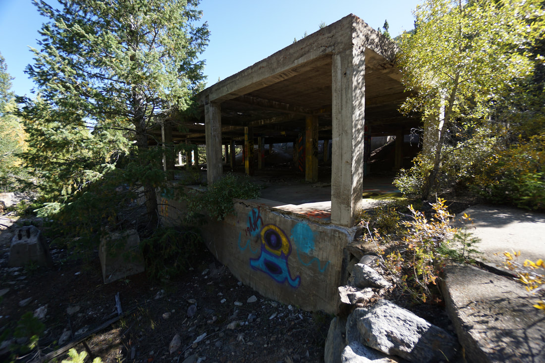
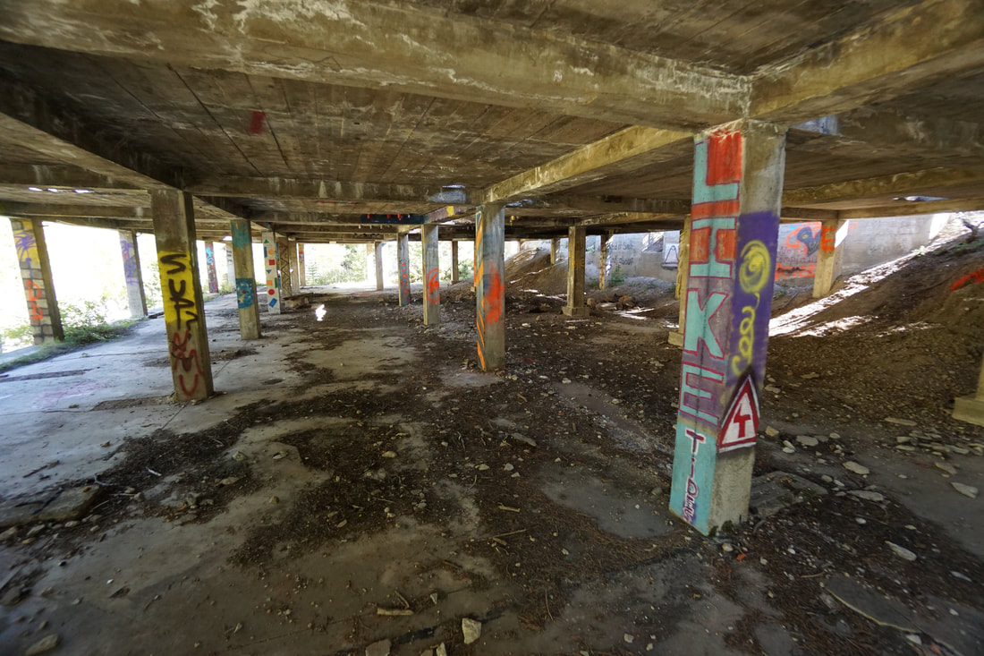
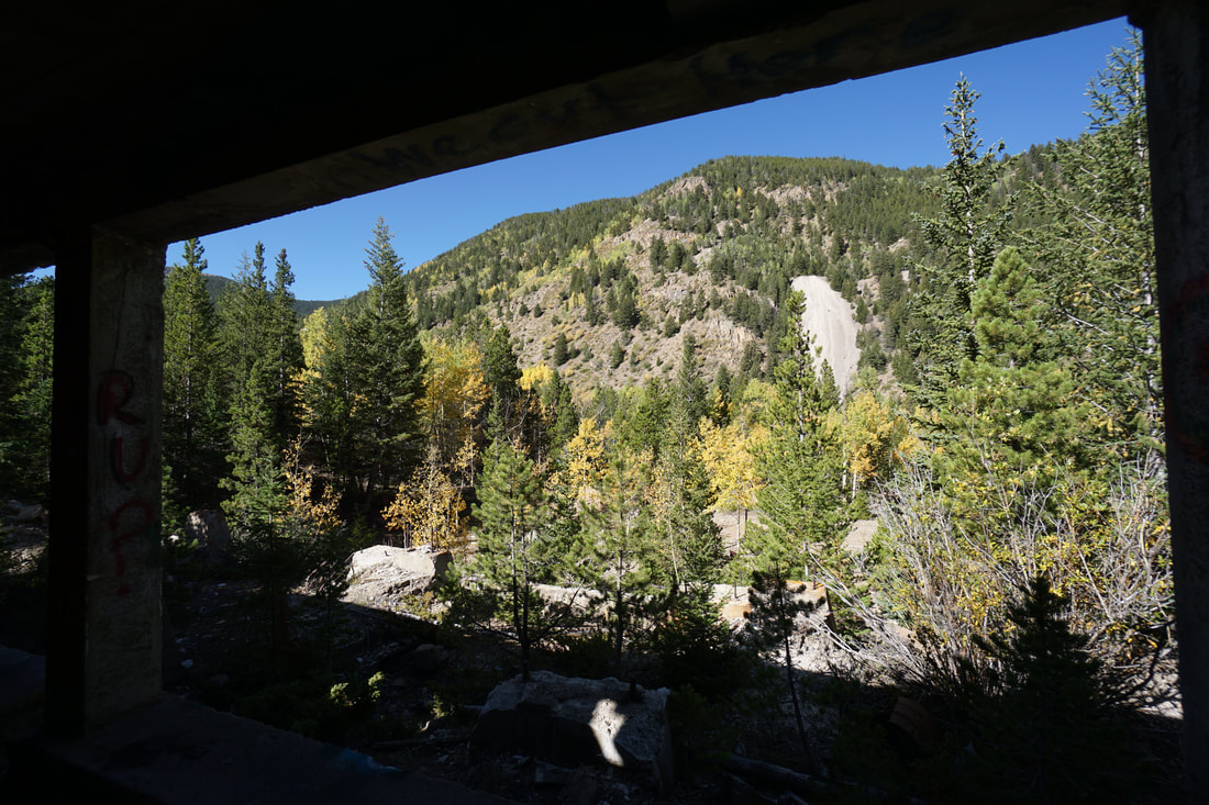
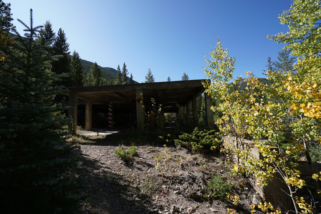
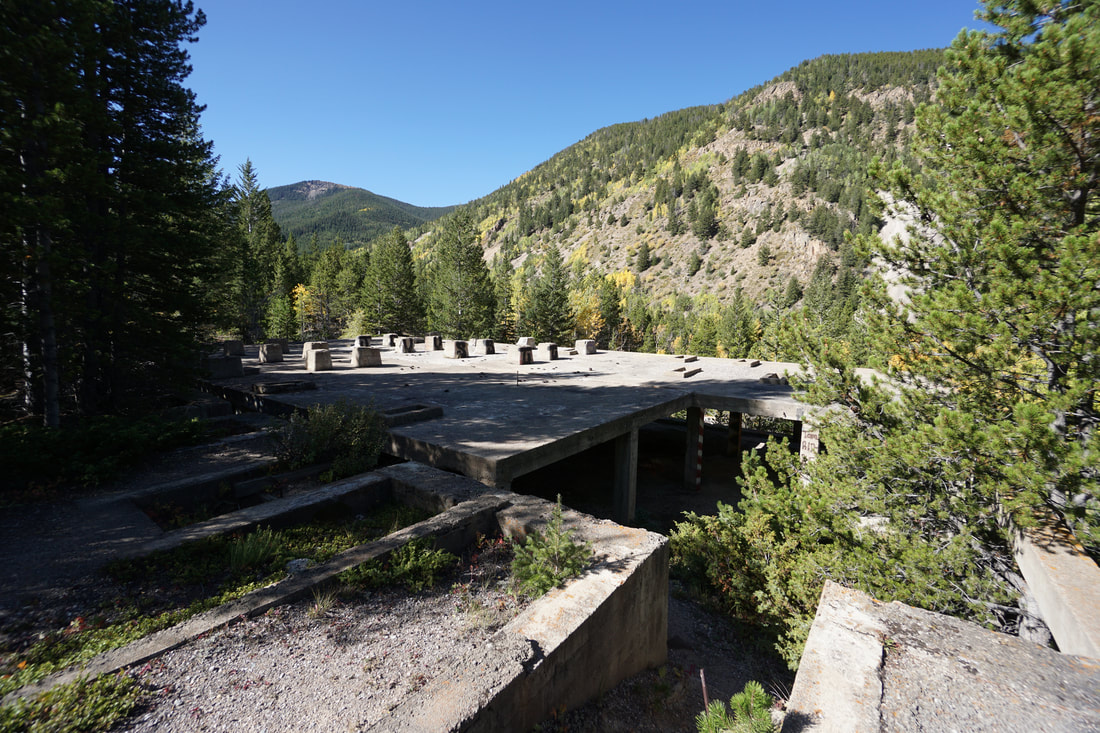
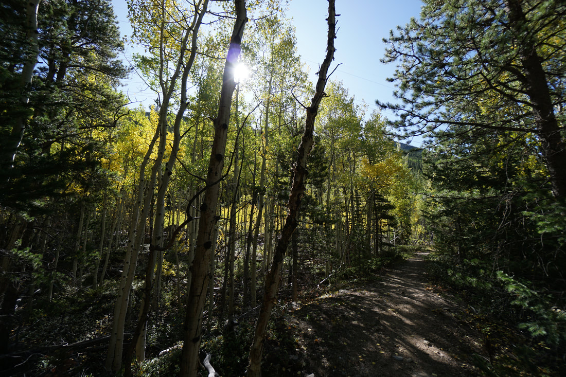
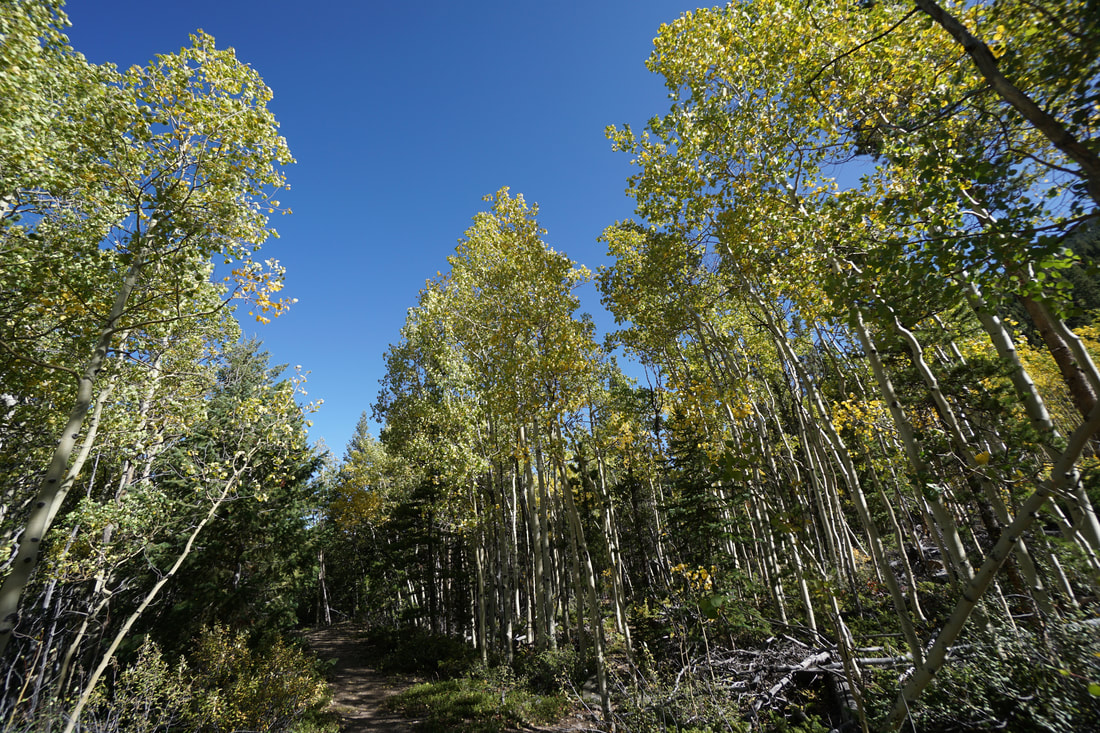
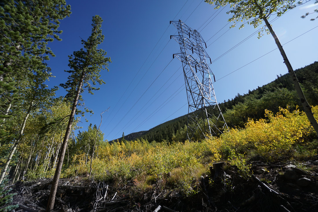
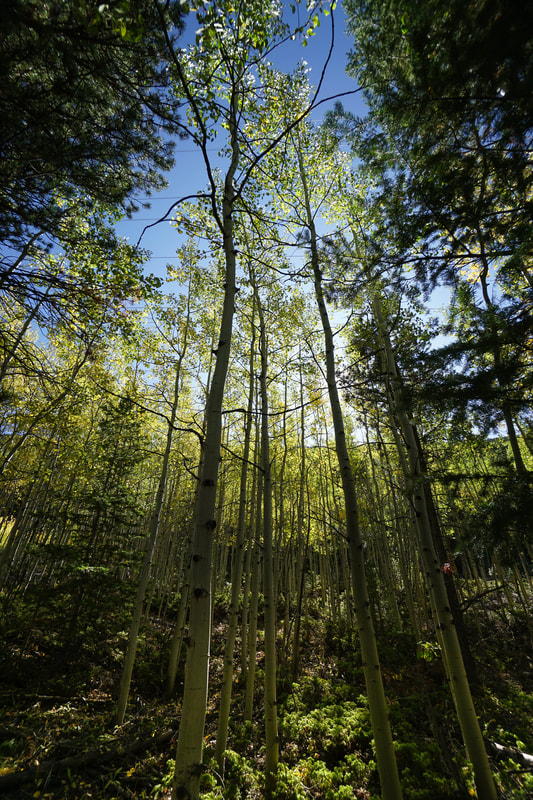
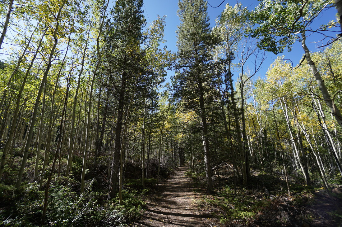
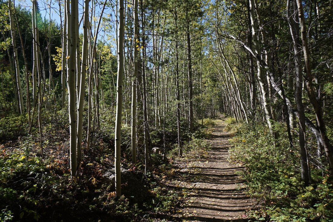
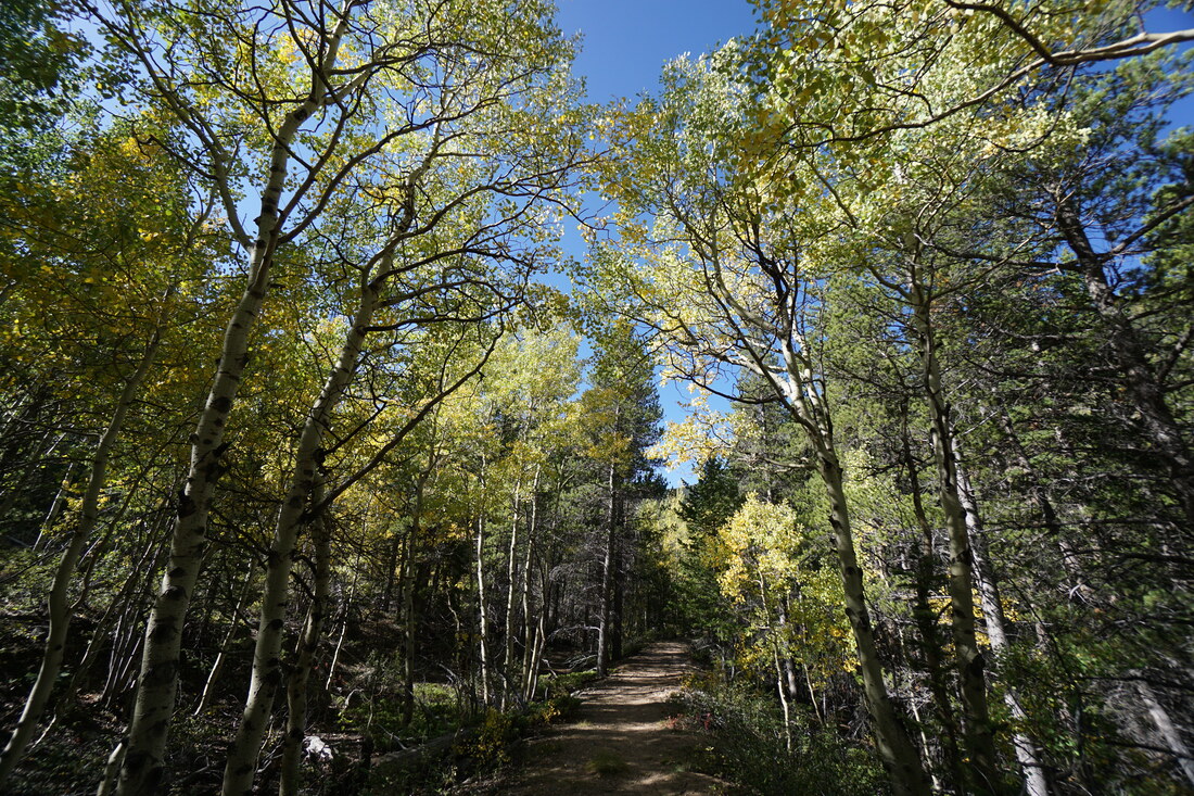
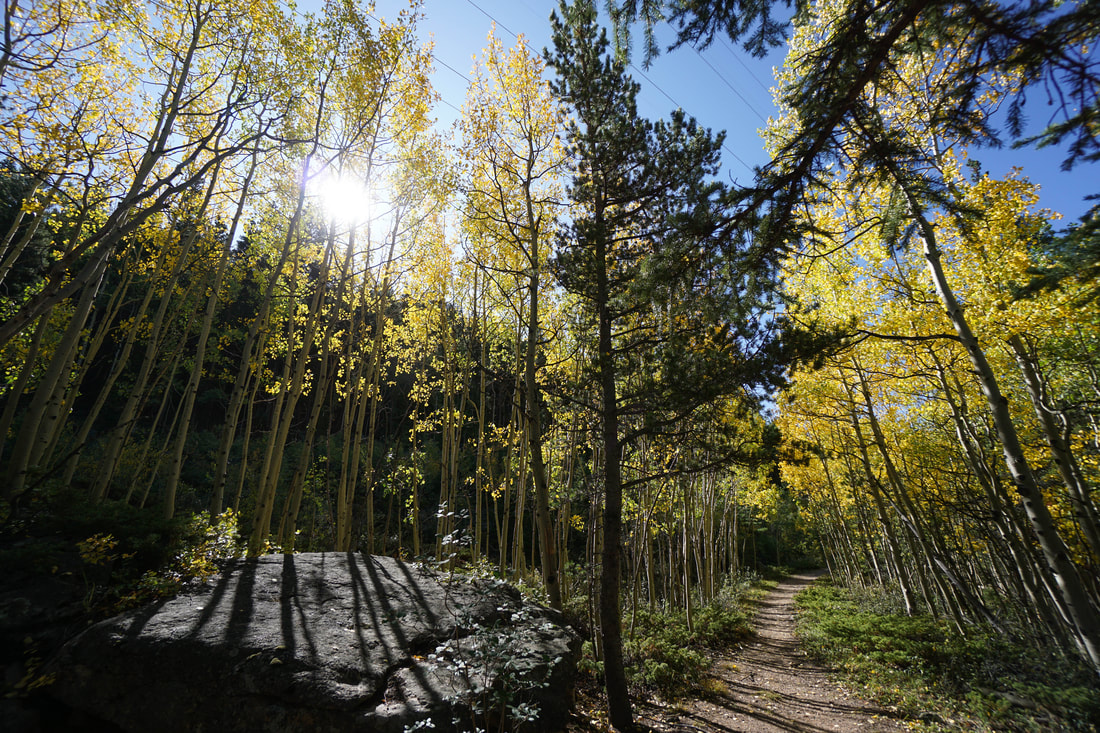
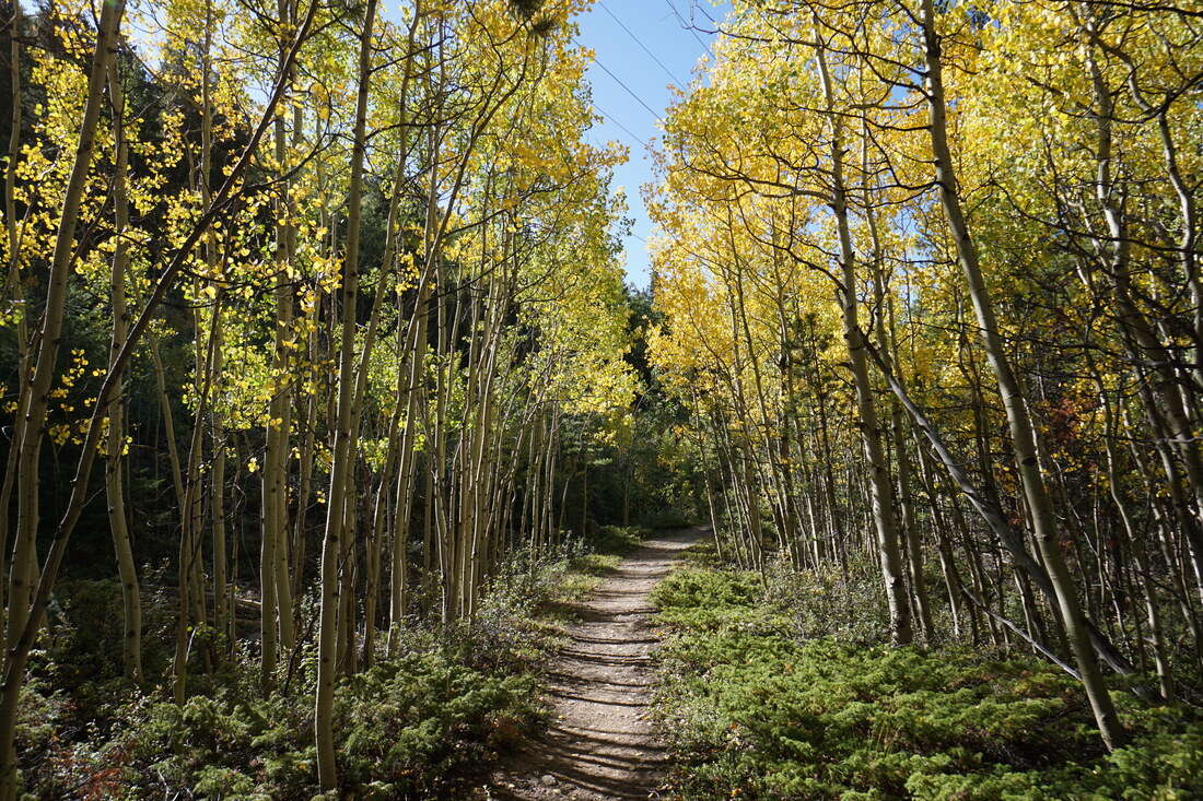
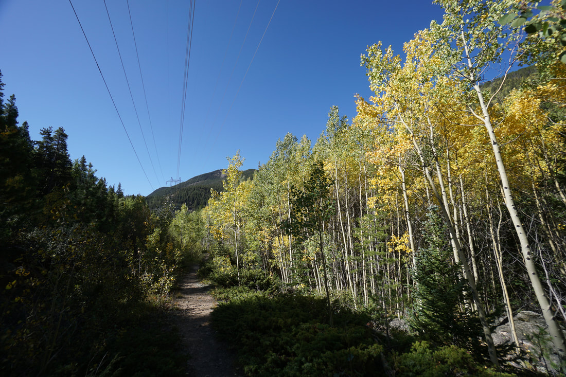
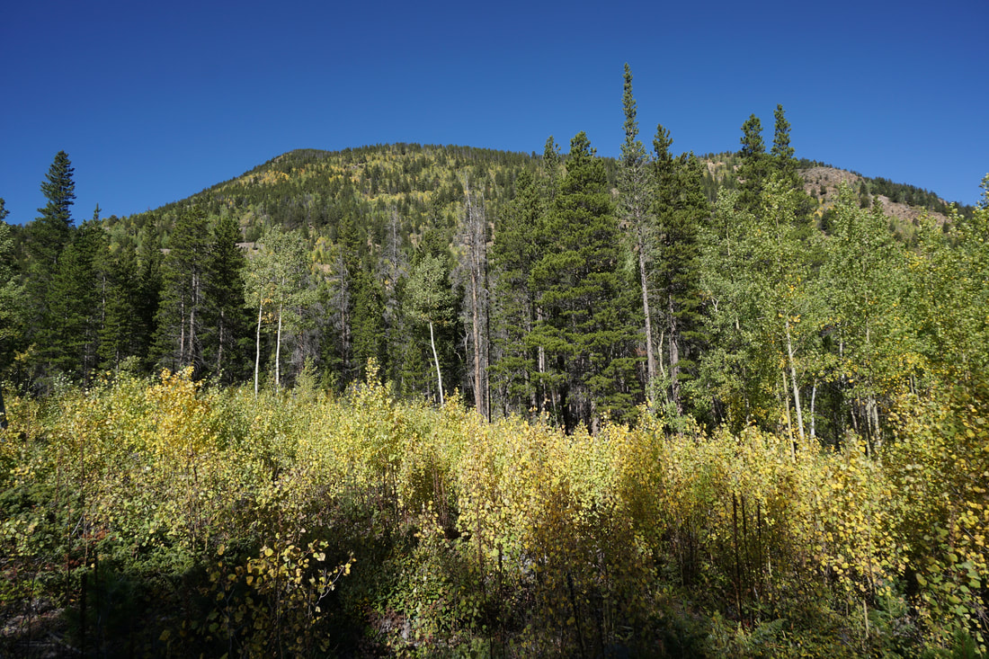
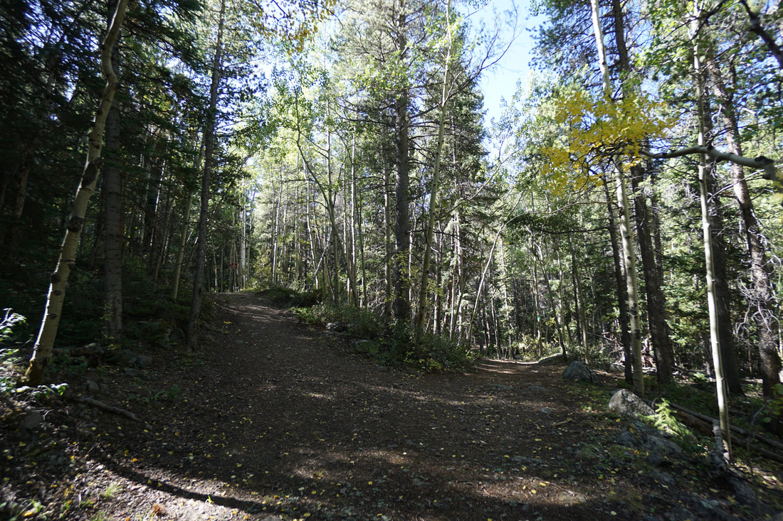
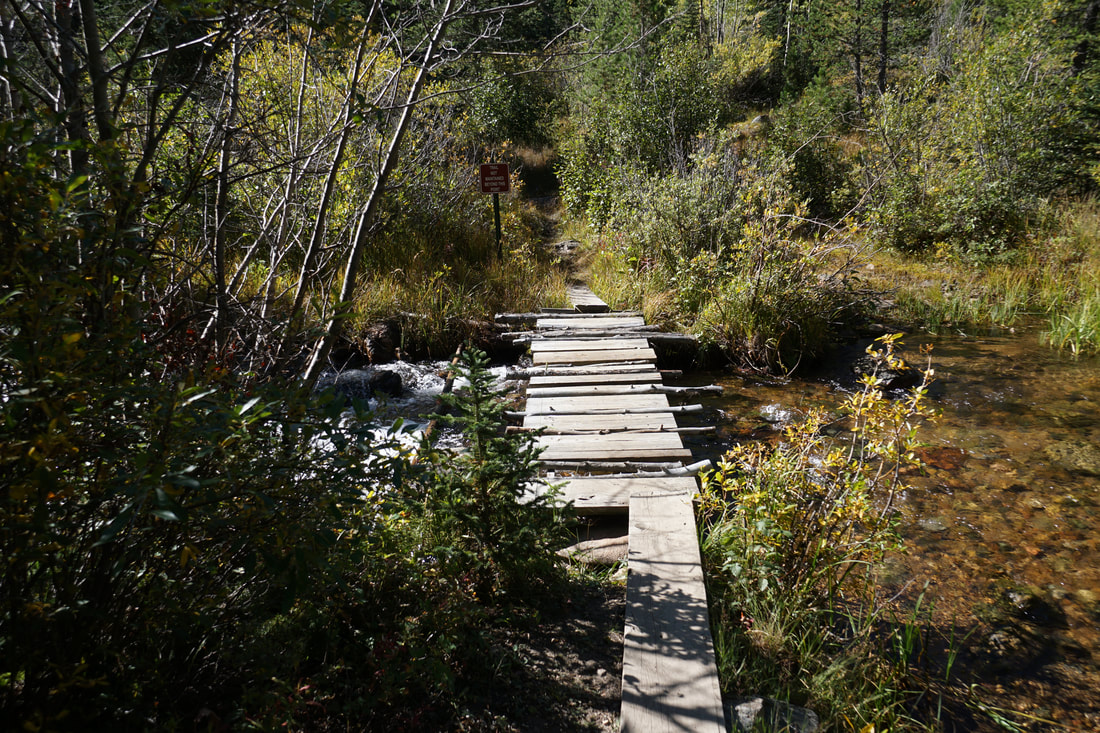
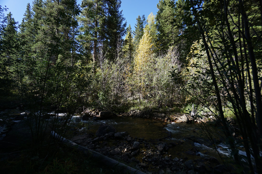
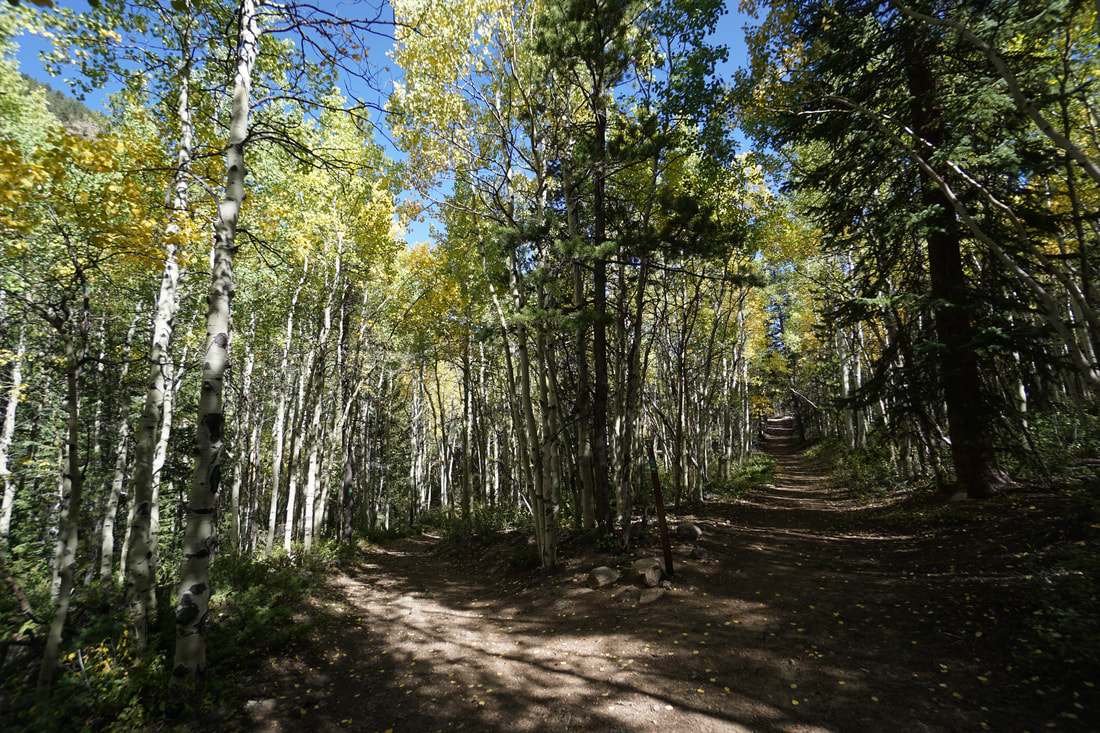
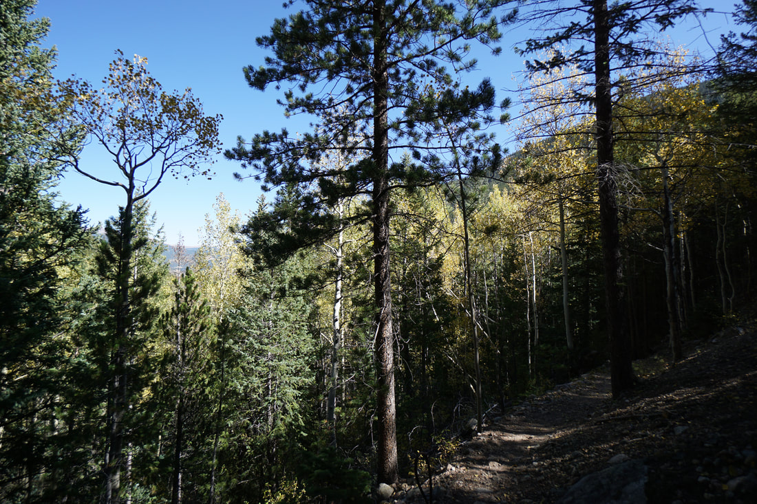
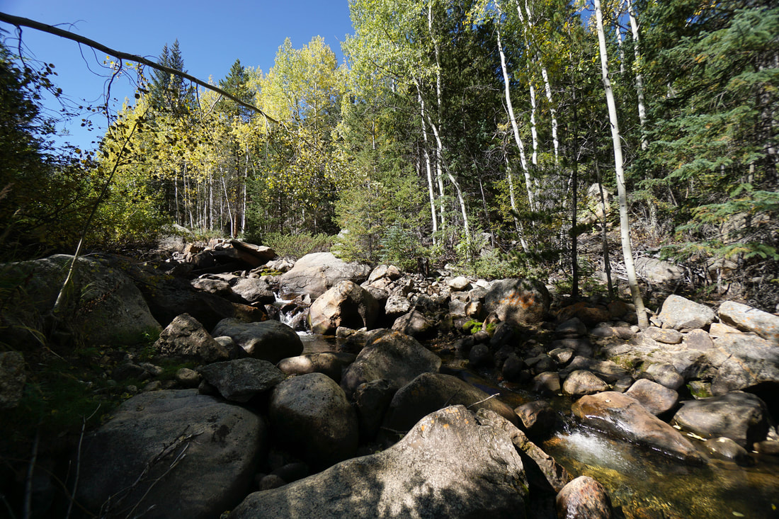
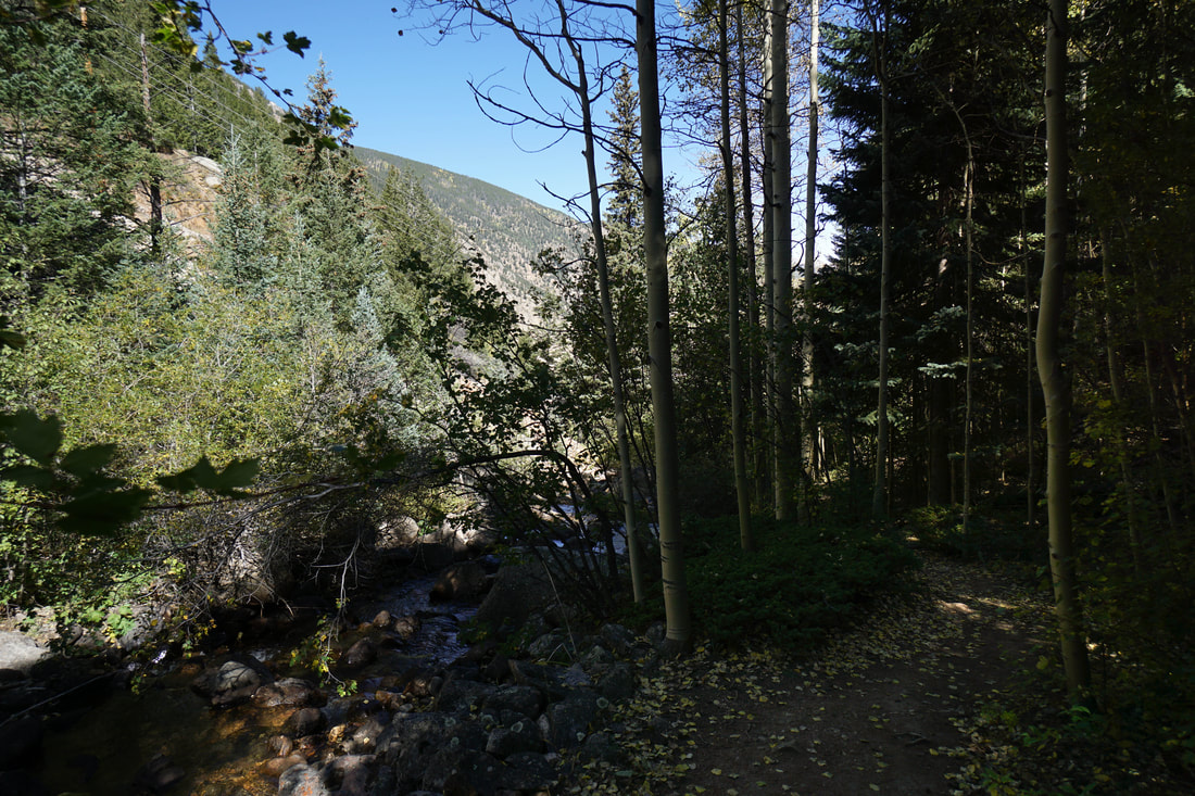
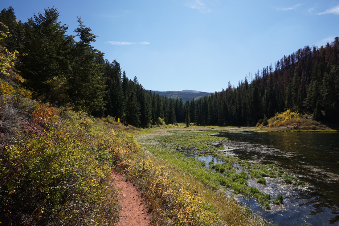
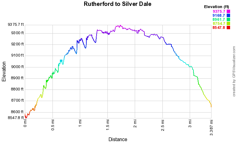
The Rutherford Trail begins by climbing steeply up a dirt service road past the Georgetown Water Plant and across a wood bridge. After the bridge the trail narrows and becomes extremely scenic. The trail crosses over an impressive waterfall and enters Aspen and Pine forest. The trail climbs steadily following South Clear Creek through a narrow, dark canyon. The far banks of the creek are almost continuously lined with aspen trees, a beautiful backdrop to the cascading water. At just about the 1 mile mark, the Rutherford Trail intersects the Sporting Times Trail, part of the Silver Dale Trail System. As you begin to hike Silver Dale, the terrain levels off and the aspen show really begins. Continue straight on the Sporting Times Trail and turn left onto the Railbed Trail. The Railbed Trail takes you to the site of the old Colorado Central Mill, and old mining ruin. The concrete structure is interesting to explore as are the many artifacts left to rust within the structures. Explore as you wish, but please use caution, there is no way to tell how stable these structures are. Just past the ruins, the Railbed Trail continues to the south, again, through beautiful aspen and pine forest. Before long you'll reach the junction with the Chicago Road Trail, continue straight on the Railbed Trail. The trail joins the right-of-way for the electric lines for a short while before re-entering the aspen and pine forest. When you get to the junction with the Cedar Branch Trail, you begin to hike a small loop. Stay straight, now on the Cedar Branch Trail until you arrive at another junction. To the left is a trail with a sign warning that the route is not maintained. This steep trail takes you out of the Silver Dale area. Instead, bear right to stay on the loop. The trail descends to a small bridge off to the left and another "no maintenance" sign. Don't cross the bridge and stay straight as you return to the Railbed Trail. The Railbed Trail follows the creek for a few minuets before climbing back into the forest and returning to the Cedar Branch Trail. This time, turn left and follow the Cedar Branch Trail downhill. When you reach the Sporting Times Trail turn right and head back to the Rutherford Trail. It's needless to stay but this entire time, you'll be hiking through remarkable aspen groves with incredible fall color. Follow the Rutherford Trail back down to Georgetown to complete the hike. I can't say enough about this trail, but I'll leave you with one added bonus. I've hiked here twice and despite it's proximity to Georgetown and Guanella Pass Road (one of the most popular leaf peeping destinations) it seems like no one knows that this trail exists. I passed about 3 other hikers the entire time and everyone seemed surprised to be there... Maybe it was just my good luck, but maybe this hike really is a hidden gem. Go now, before the aspen leaves fall and the show is over. |
|