|
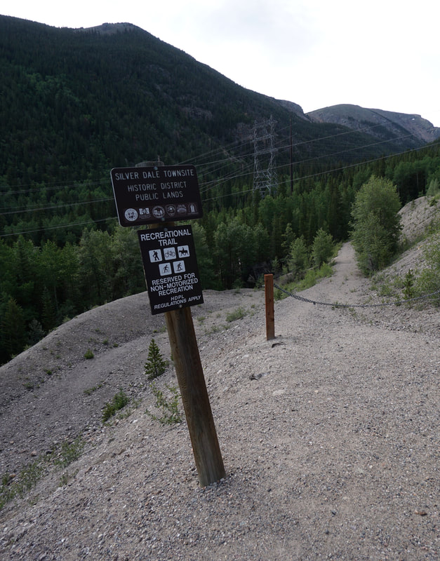
Directions: From Georgetown, head south on Guanella Pass Road to the Silver Dale Interpretive Site parking area. The trail starts at the eastern end of the parking area near the interpretive signs.
Until very recently, I had no idea that there is a trail system along Guanella Pass Road centered around the mining ghost town of Silver Dale, just south of Georgetown. It took having a few hours to kill before taking the kiddos on the Georgetown Loop Railroad...and promises of a "ghost town" as hiking destination to discover this area. The trail system has three loops, and the easiest loop has an even easier option. This is about all my kids were up for...
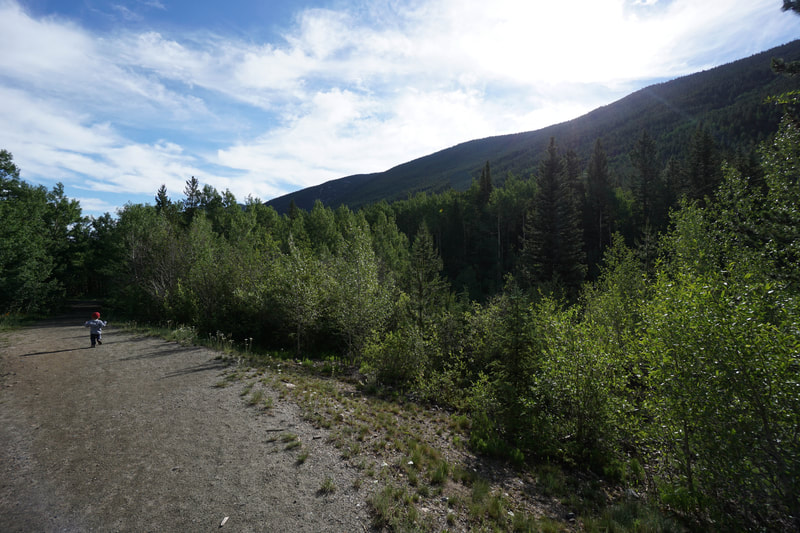
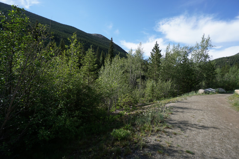
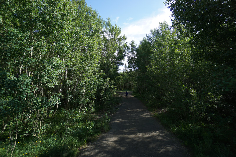
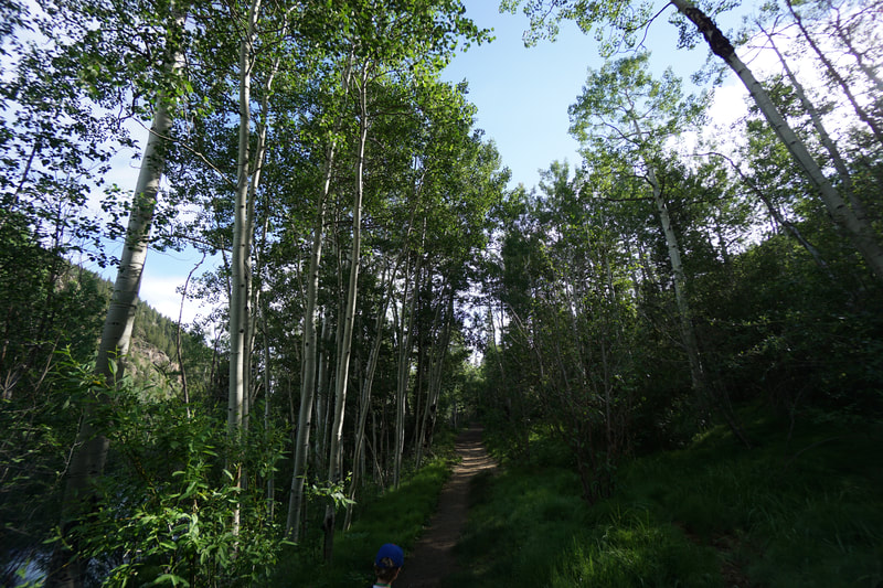
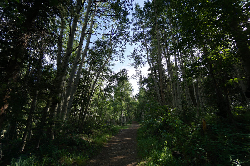
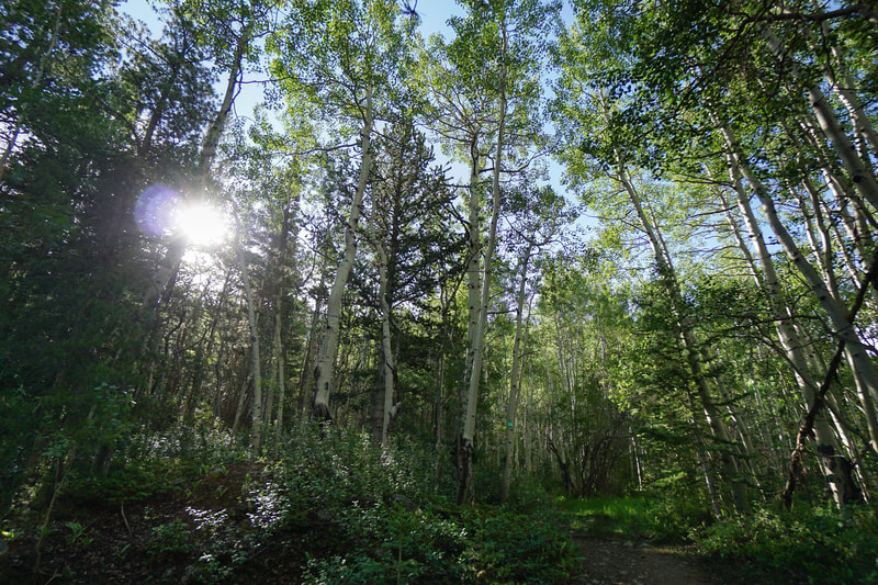
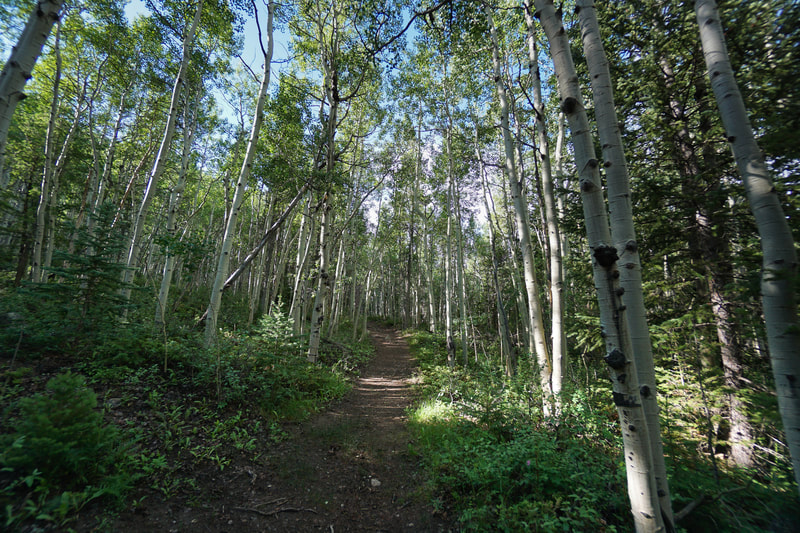
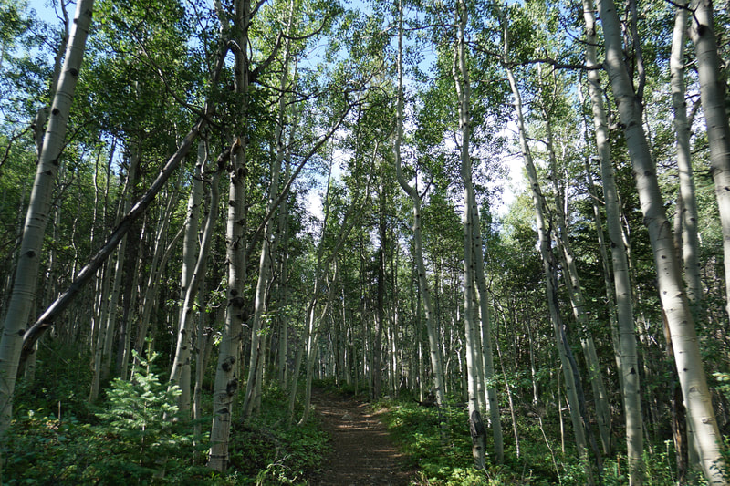
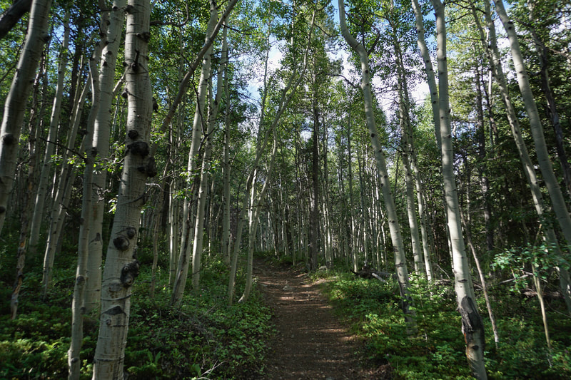
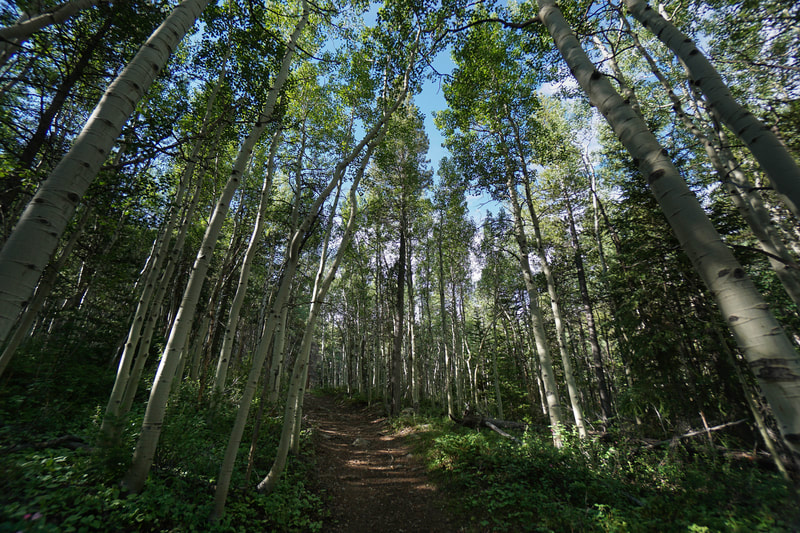
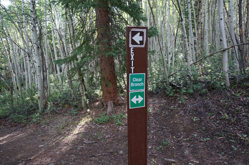
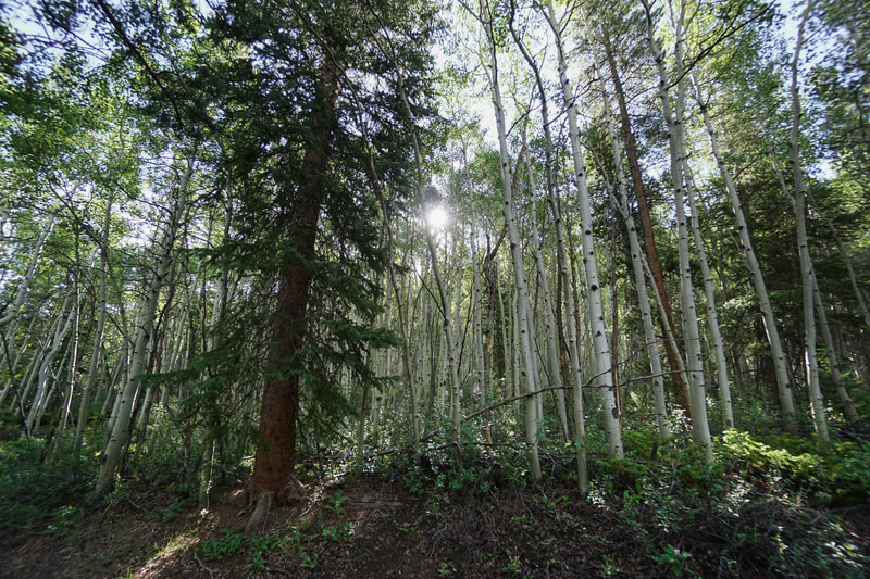
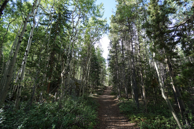
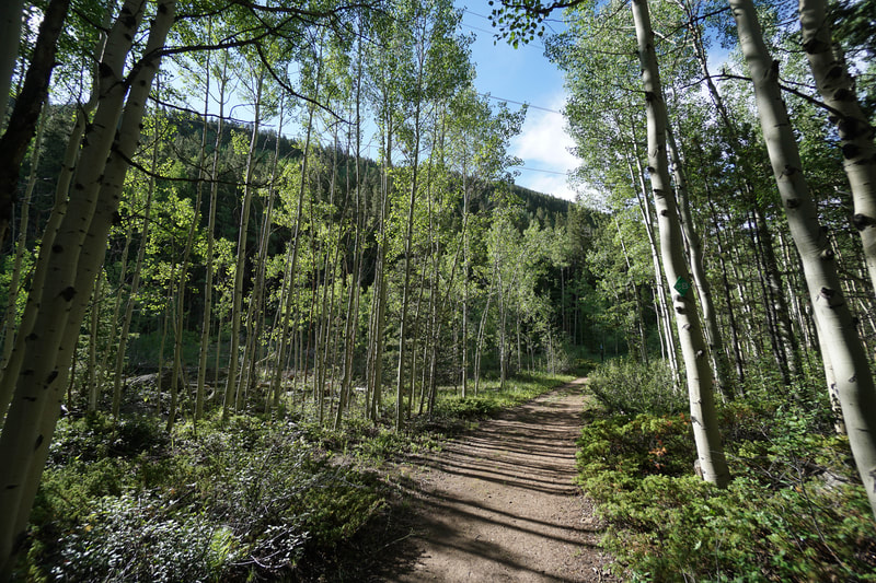
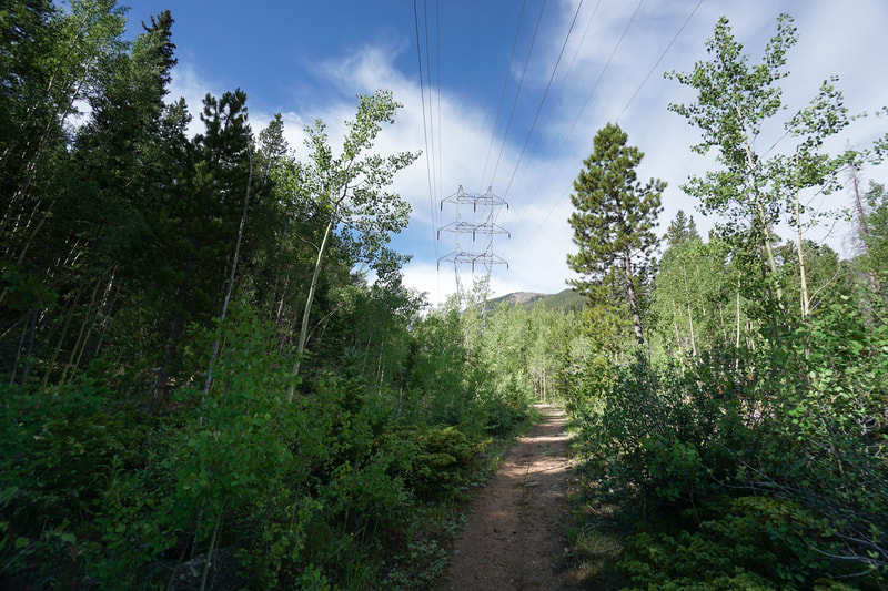
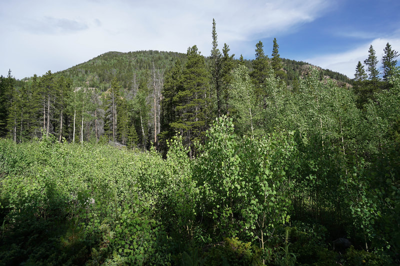
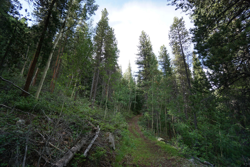
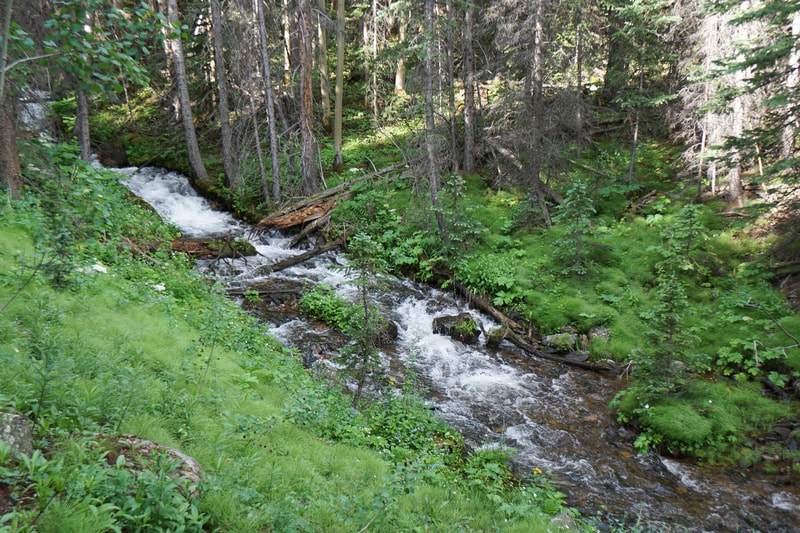
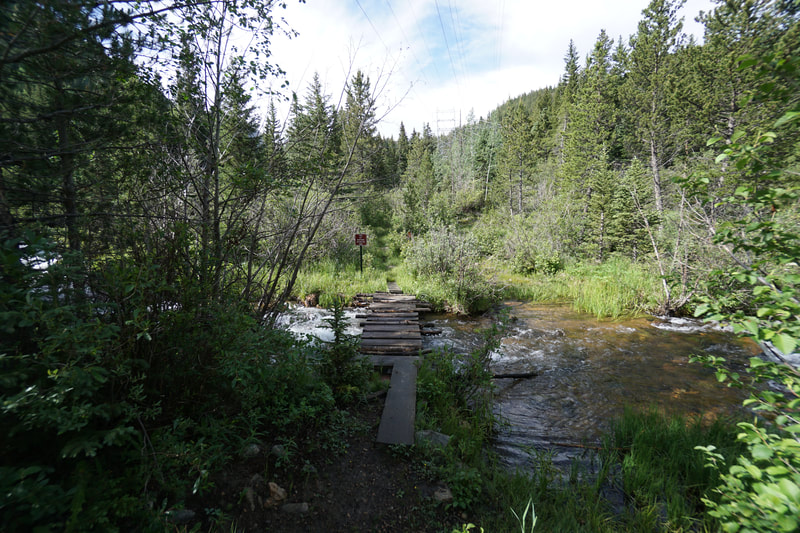
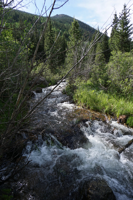
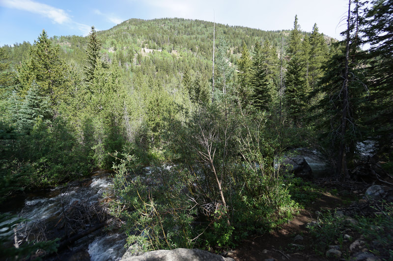
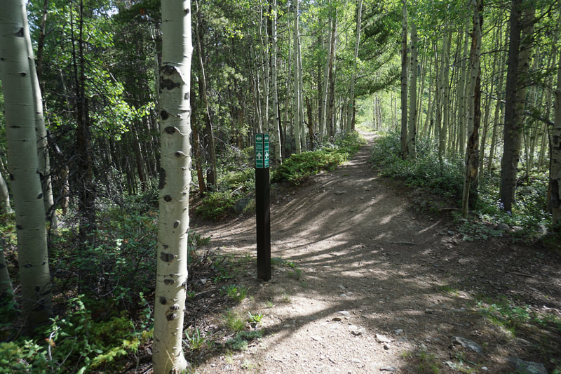
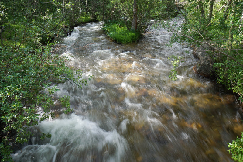
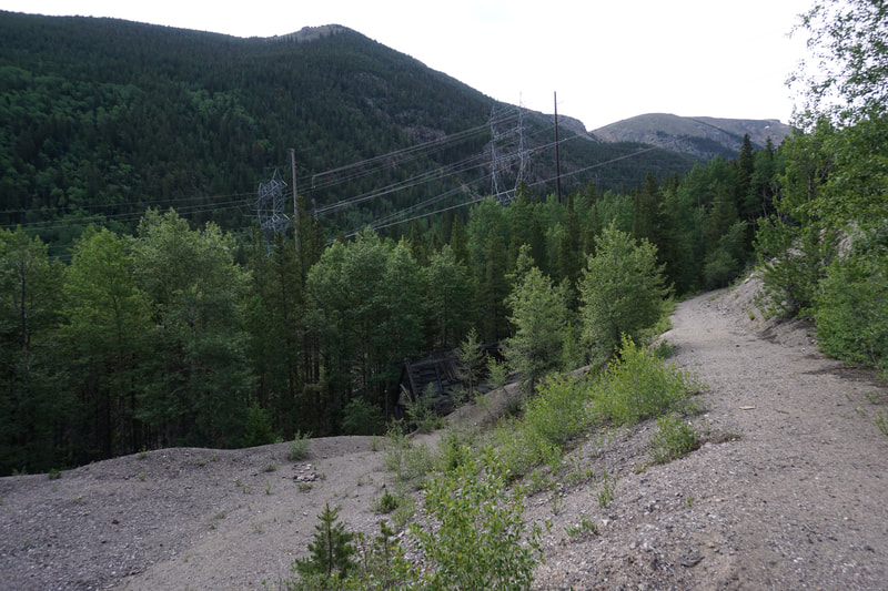
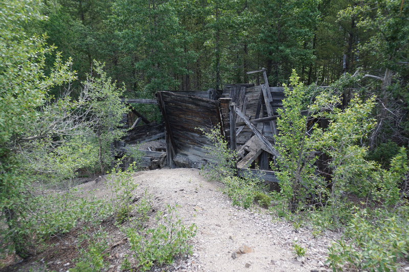
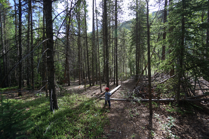
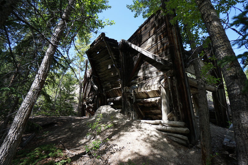
The trail system is very pretty, the trails weave through dense aspen forest and I can't wait to come back in the fall and explore the longer loops. From the Silver Dale Interpretive Site trailhead, along Guanella Pass Road. Head north (left) and follow the trail down to a footbridge that crosses South Clear Creek. Across the creek the trail heads left and soon comes to the junction for the Clear Branch and Sporting Times Trails. Turn right and head uphill on the Clear Branch Trail. Walk through beautiful Aspen forest and follow the trail under the power lines. When you reach the first junction for the Railbed Trail, continue straight on Clear Branch. Before too long you'll come to the second Railbed Trail junction. If you continue straight here, you'll see a sign saying that the trail is not maintained beyond the sign. We followed this trail for a little ways and although it paralleled a beautiful section of South Clear Creek (with cascading waterfalls in abundance), the trail got very steep and rocky and the kiddos wanted to turn around. I have no idea where this trail leads to as it is not on any map that I've seen. Back at the second junction, head downhill on the Railbed Trail until you reach S. Clear Creek. Here there is a rickety foot bridge and beyond, another sign telling you that there is to trail maintenance ahead. This is another trail not on the maps, but for purposes of this hike, do not cross the bridge. Rather, follow the Railbed trail as it follows S. Clear Creek to the north and returns to the first Railbed Junction. Turn left back on the Clear Branch Trail and another left to reach the footbridge and the trailhead. It is important to note that this short loop does not visit any of the old building remaining from the Silver Dale days. To view the remnants you at least need to hike the entire green loop, adding the Sporting Times Trail to the loop described here. There is also an old building with some remaining artifacts south of the end of the loop. While I'm not sure how to get there from the Silver Dale Trail system, you can drive a few minutes further up Guanella Pass Road and walk down to the ruins. More exploration of this area is a must...but I think I'll wait for the fall when the Aspen trees are putting on their show... |
- HOME
- ABOUT
-
HIKES BY REGION
-
NATIONAL PARK HIKES
- BENT'S OLD FORT NATIONAL HISTORIC SITE
- BLACK CANYON OF THE GUNNISON NATIONAL PARK
- COLORADO NATIONAL MONUMENT
- CURECANTI NATIONAL RECREATION AREA
- DINOSAUR NATIONAL MONUMENT
- FLORISSANT FOSSIL BEDS NATIONAL MONUMENT
- MESA VERDE NATIONAL PARK
- ROCKY MOUNTAIN NATIONAL PARK
- GREAT SAND DUNES NATIONAL PARK
- HOVENWEEP NATIONAL MONUMENT
- SAND CREEK MASSACRE NATIONAL HISTORIC SITE
- YUCCA HOUSE NATIONAL MONUMENT
- HIKES BY CATEGORY
- NEWS
- WEBCAMS
- $UPPORT GHC
- INTERACTIVE MAP
Clear Branch > Railbed Loop
Silver Dale Historic District Public Lands
Date Hiked: July 15, 2019
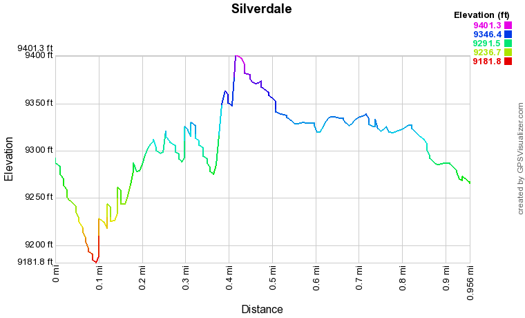
Distance: 1 mi (RT)
Elevation Gain: 250 ft
Elevation Min/Max: 9,181 to 9,400 ft
Trailhead Lat/Long: 39º 41' 16" N; 105º 41' 58" W
Managing Agency: Clear Creek County
Fee: None

