|
DIRECTIONS: From I-70 take the Silverthorne exit and head North on Hwy 9 for about 10 miles. Turn right onto Ute Park Road at the sign for Acorn Creek. Head up the good dirt road for just a few minutes following signs to the Acorn Creek Trailhead.
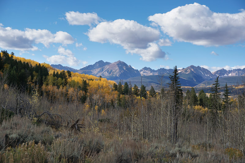
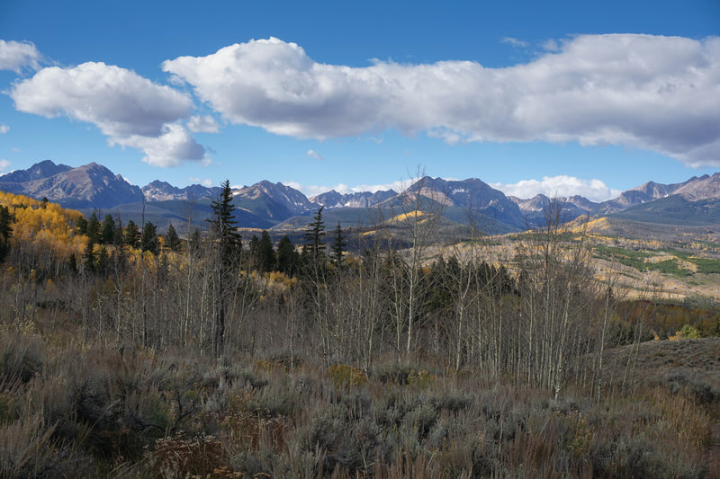
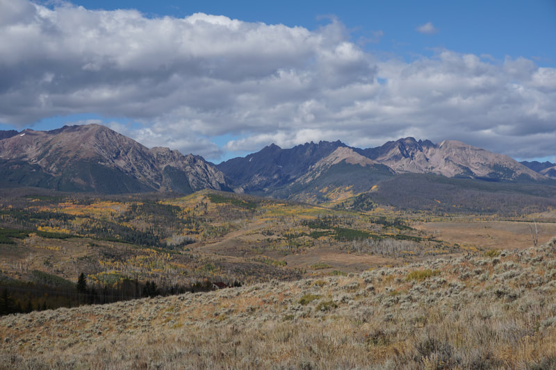
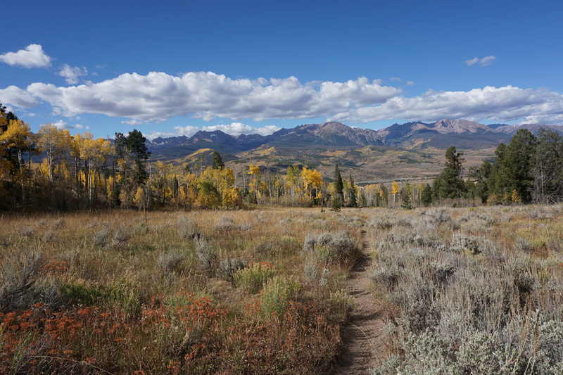
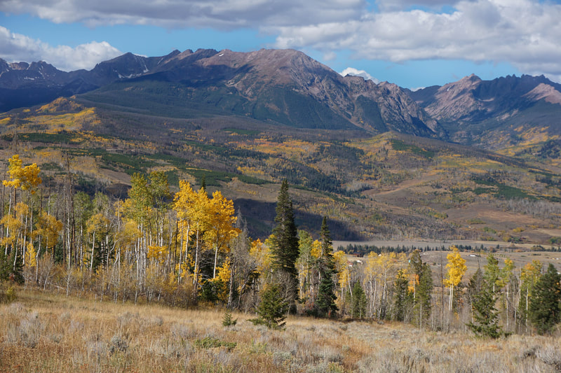
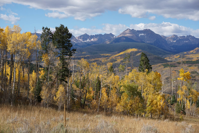
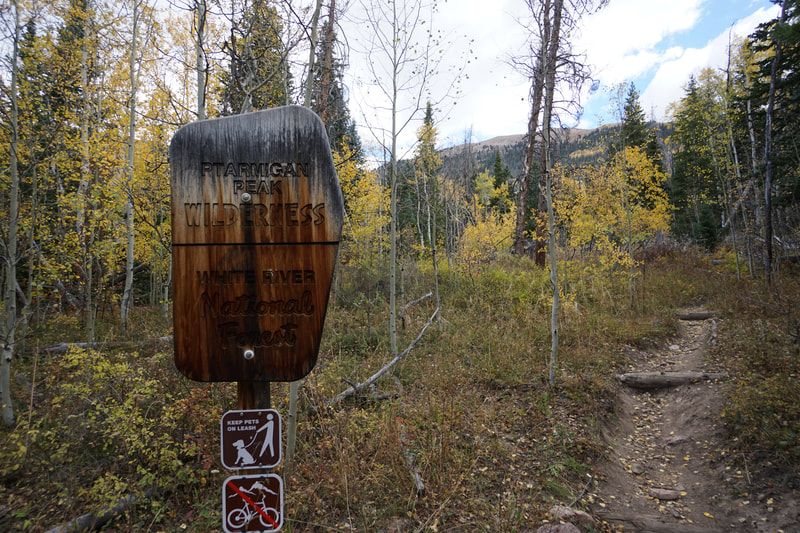
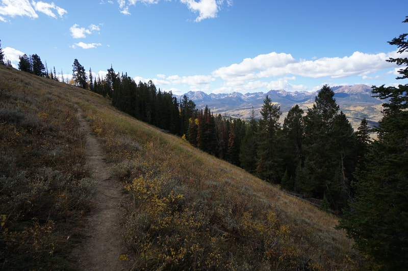
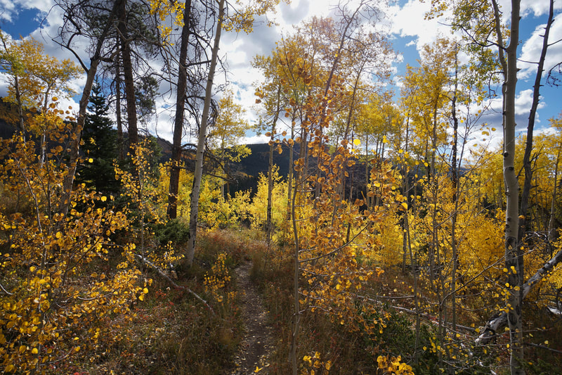
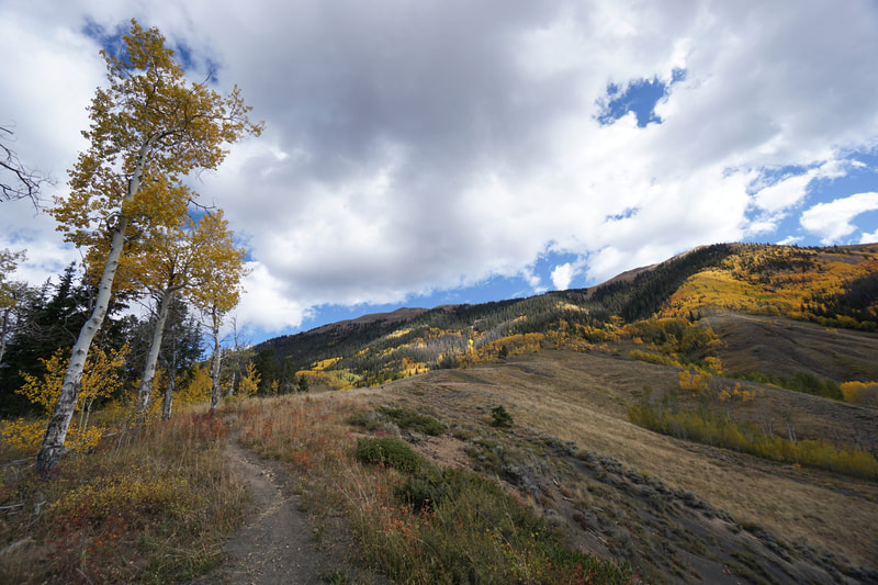
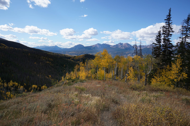
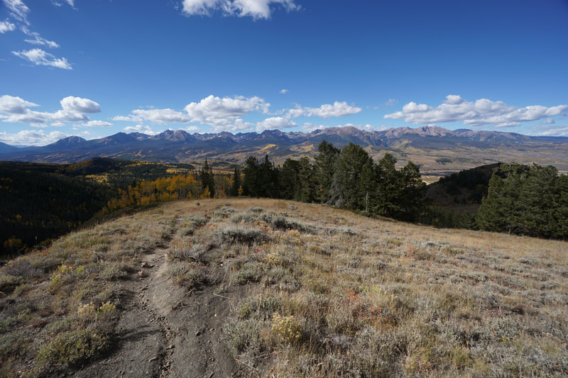
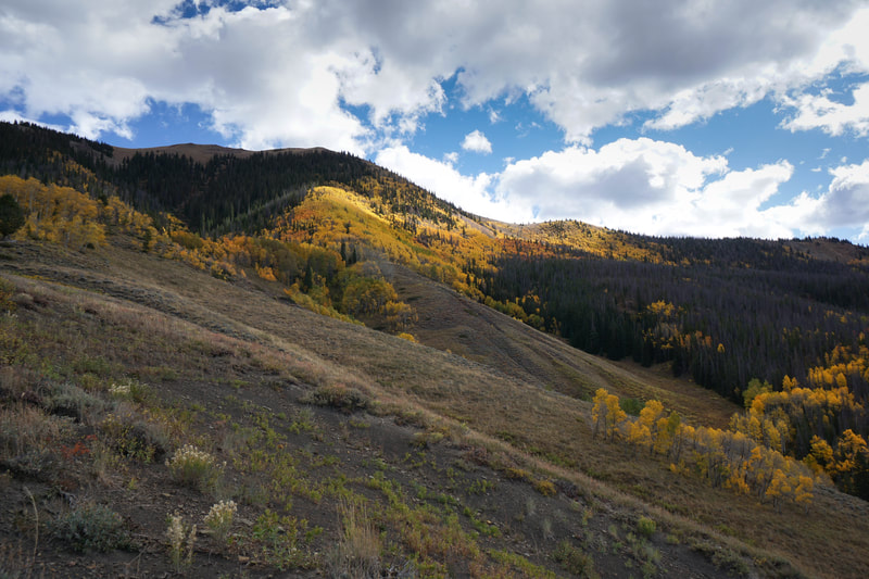
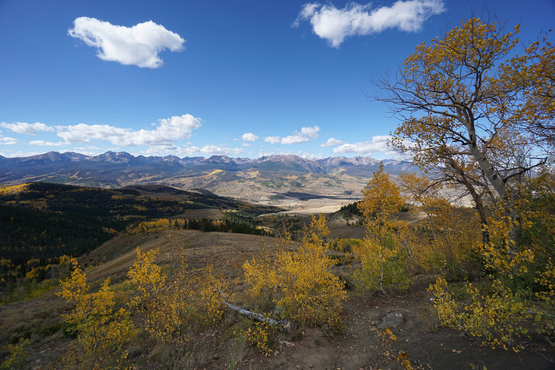
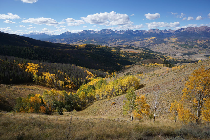
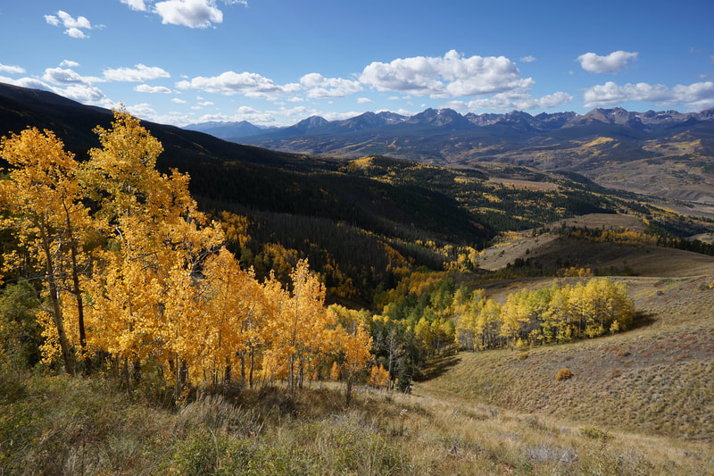
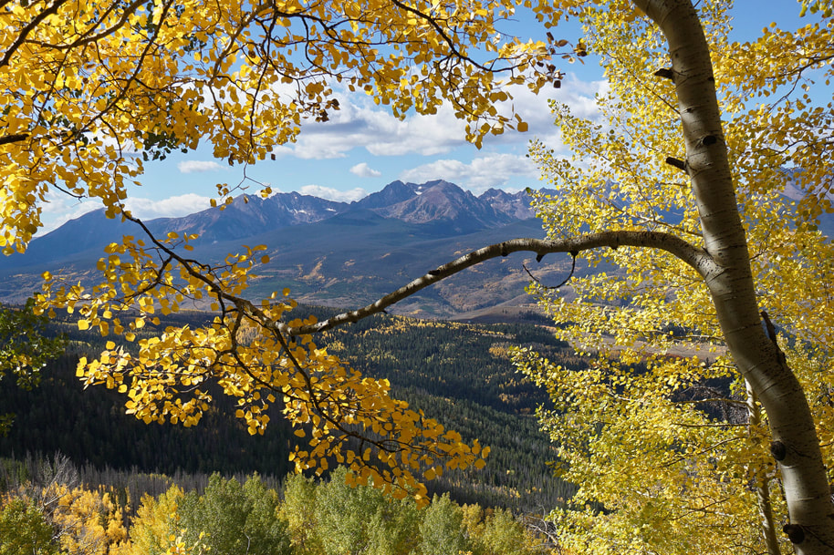
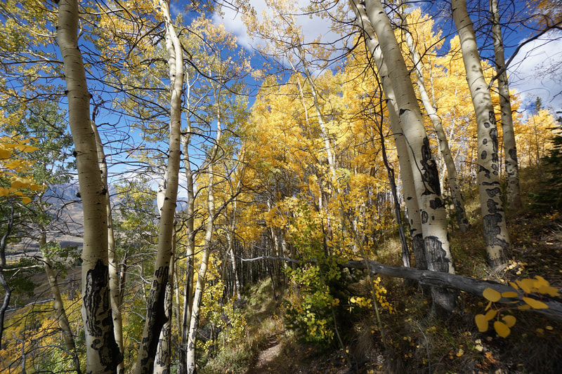
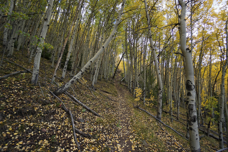
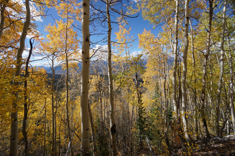
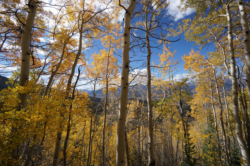
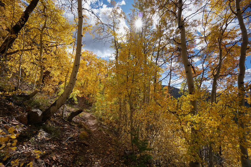
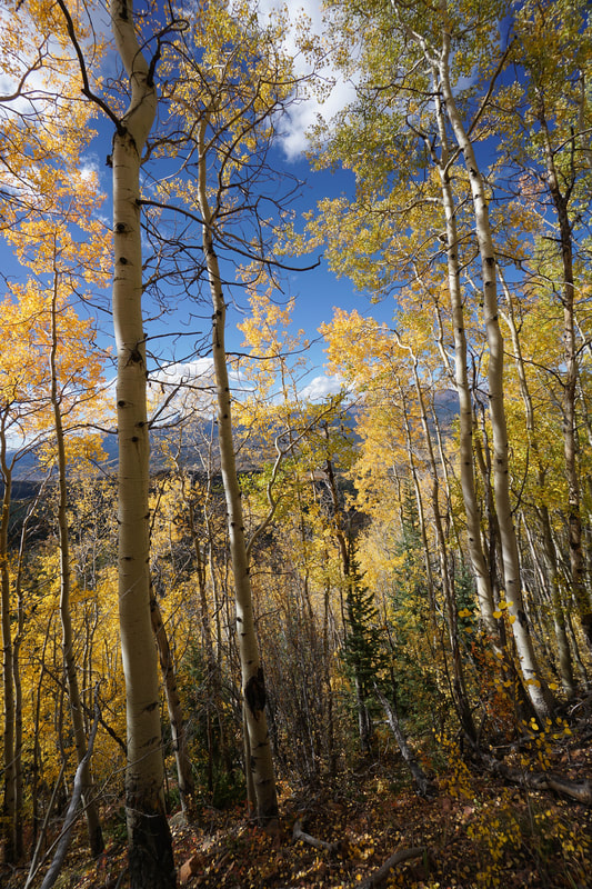
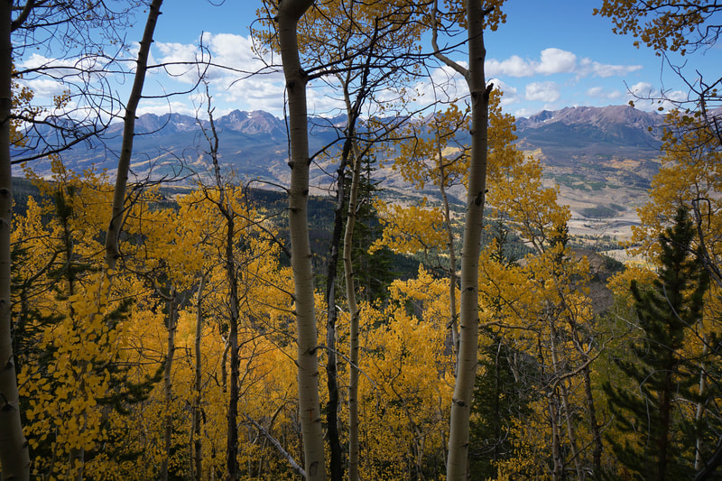
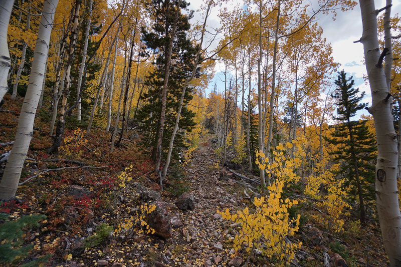
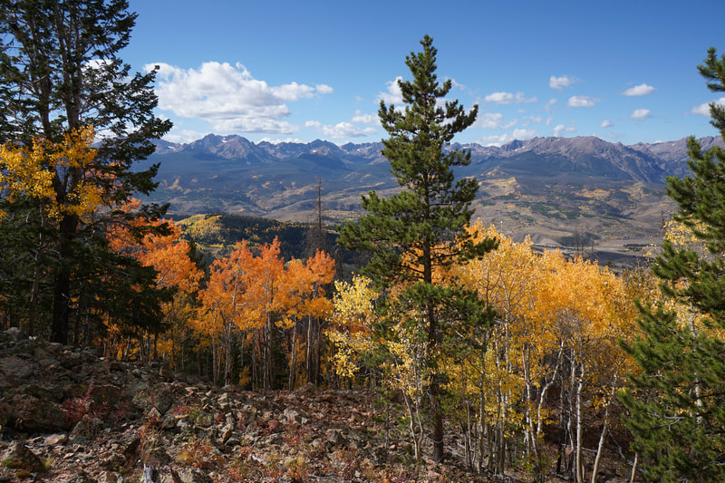
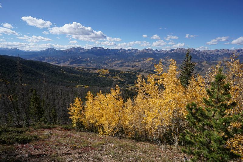
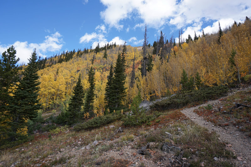
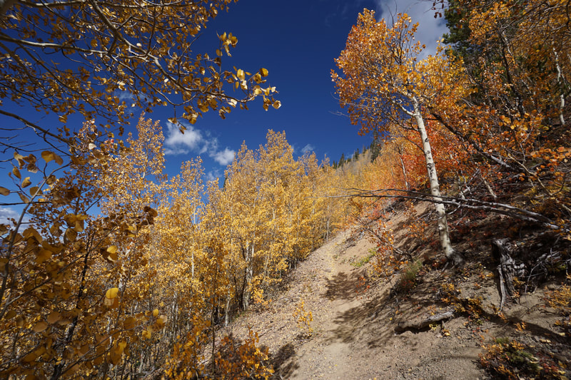
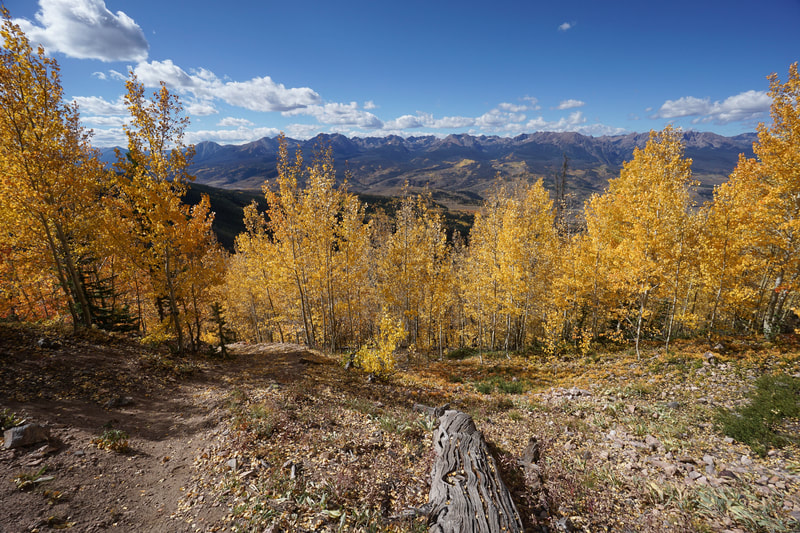
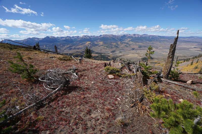
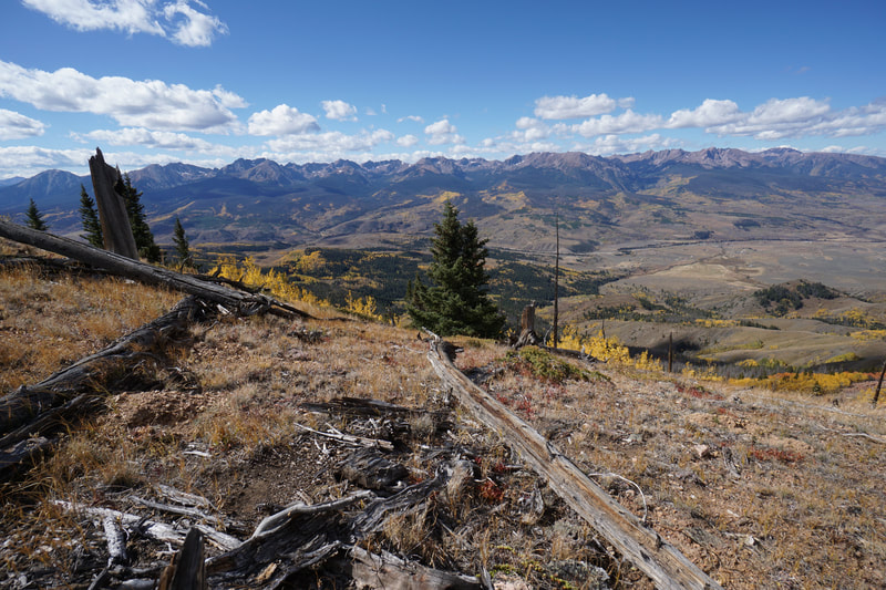
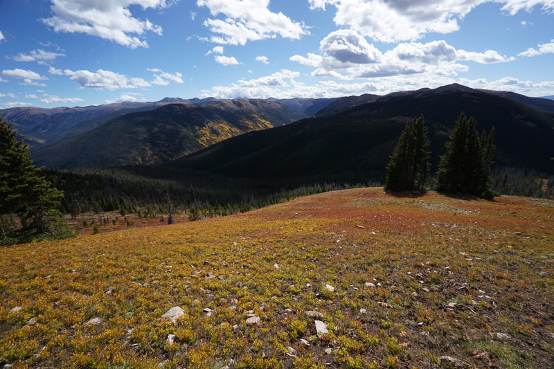
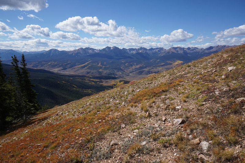
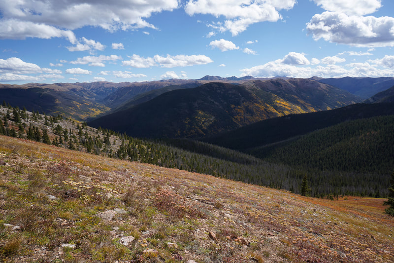
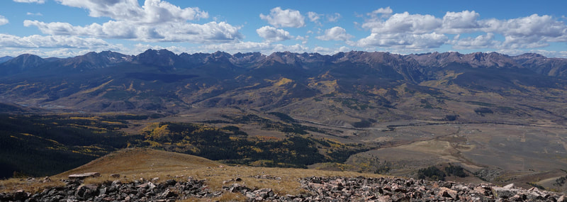
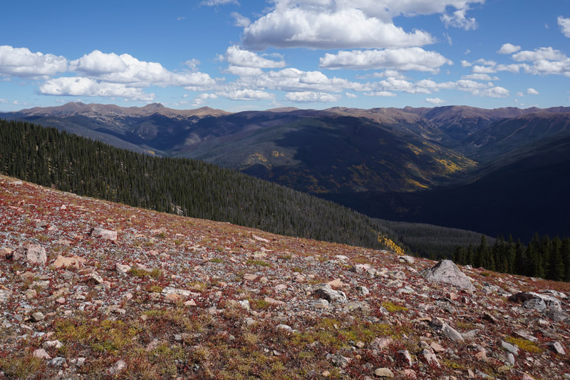
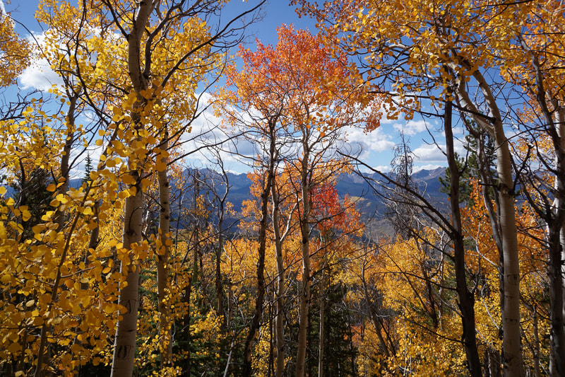
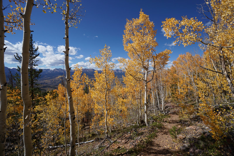
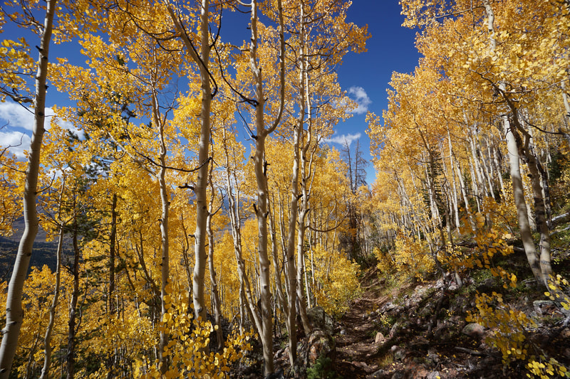
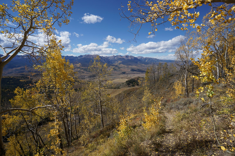
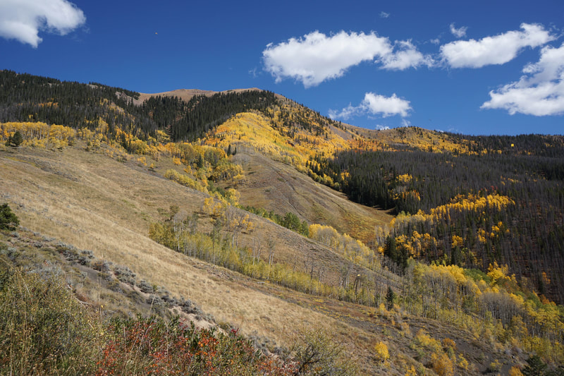
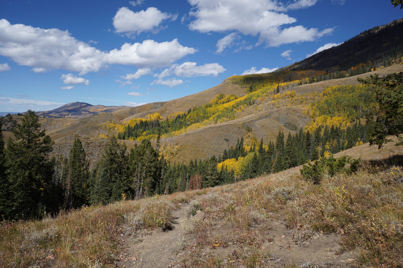
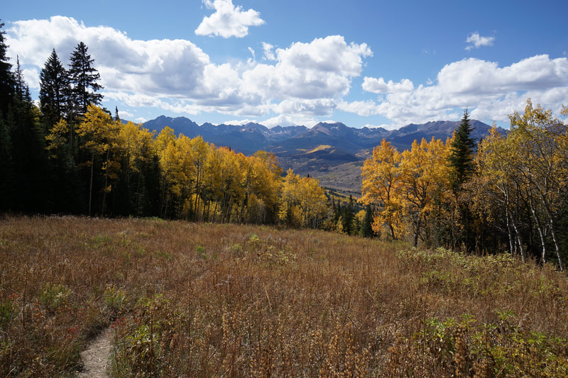
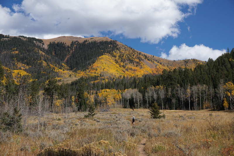
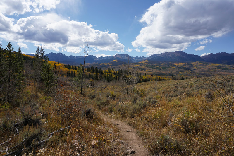
The Acorn Creek Trail is located on the western edge of the Front Range in the often overlooked Ptarmigan Peak Wilderness Area. The hike is difficult due to the steepness of the trail as it nears the saddle along the ridge connecting Ute Peak to Ptarmigan Peak. However, this trail is absolutely worth the effort. The hike has two main things to offer amazing fall colors and amazing views of the Gore Range across the valley. In order to take advantage of these two offerings, hike this trail at the end of September or beginning of October.
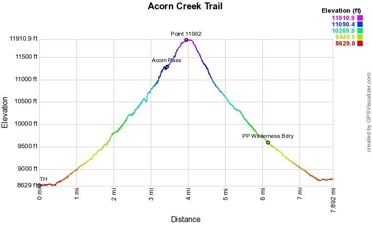
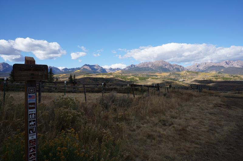
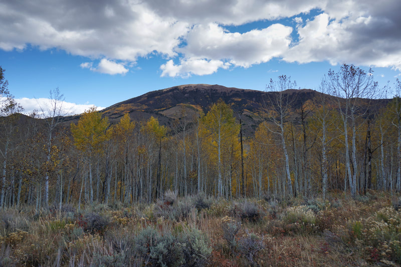
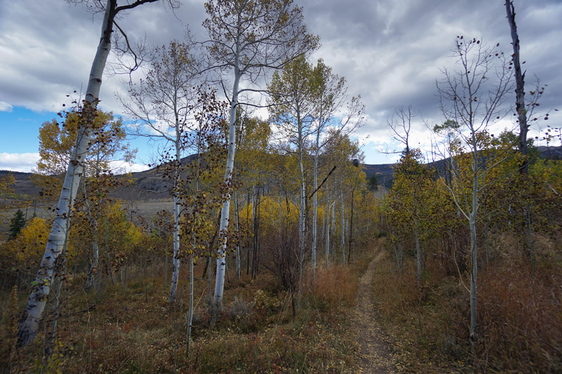
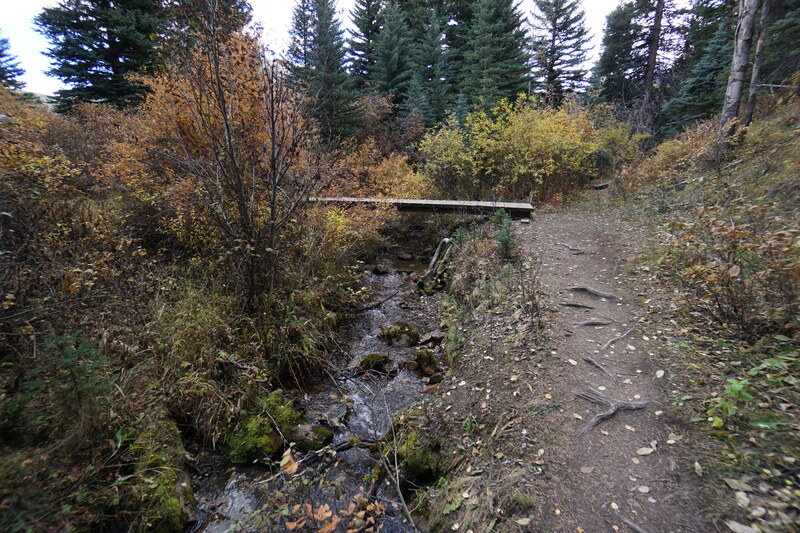
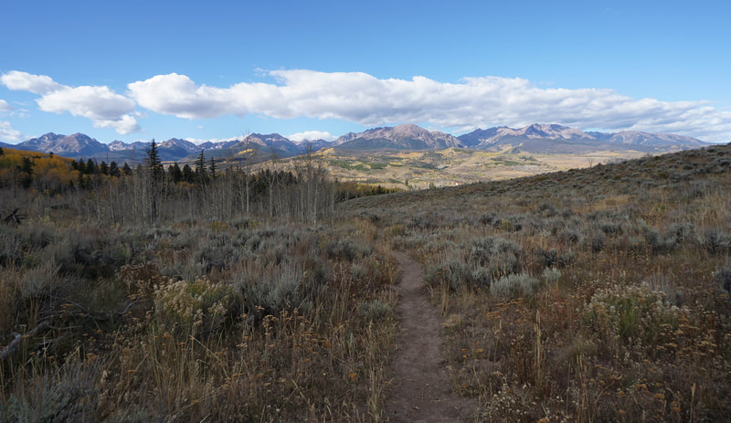
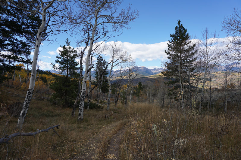
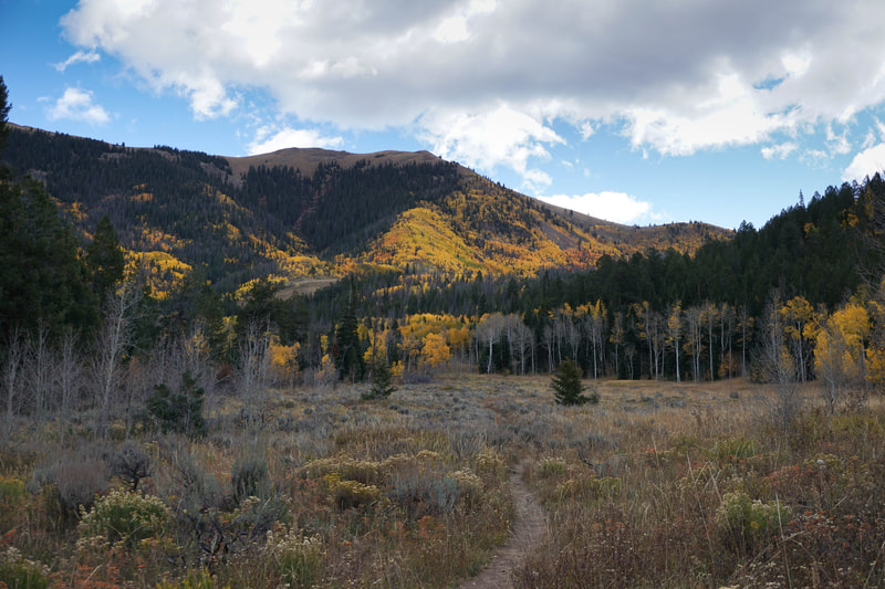
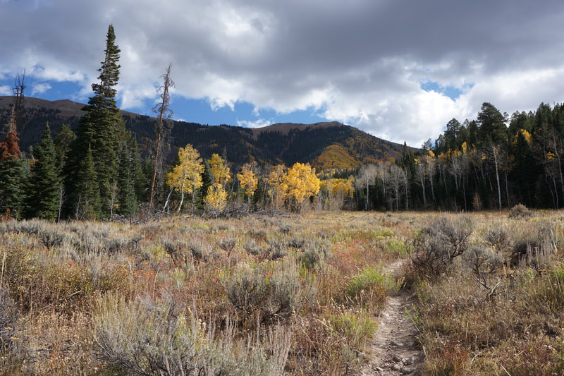
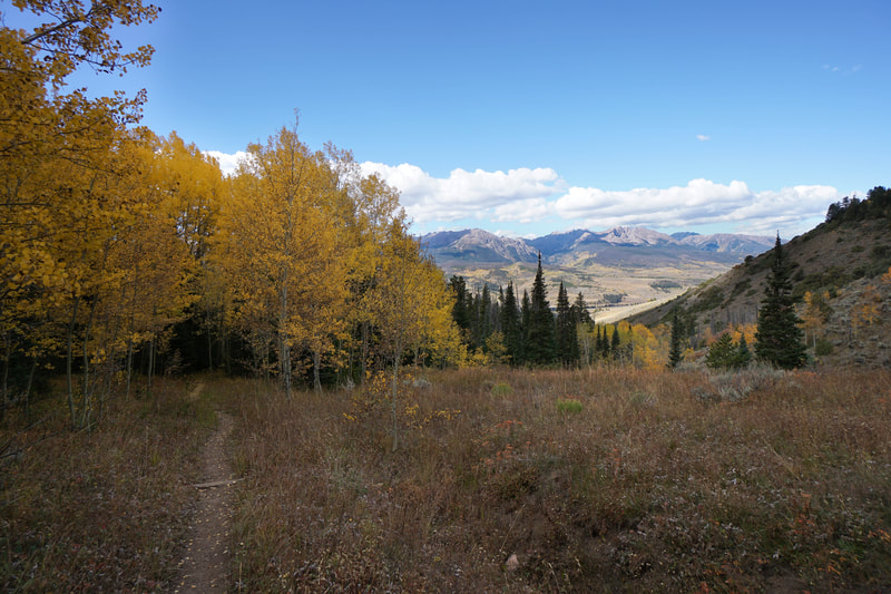
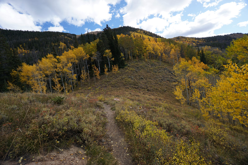
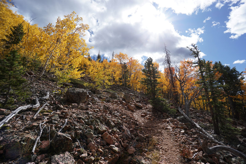
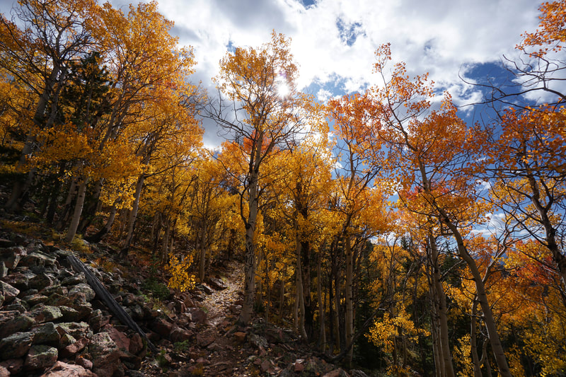
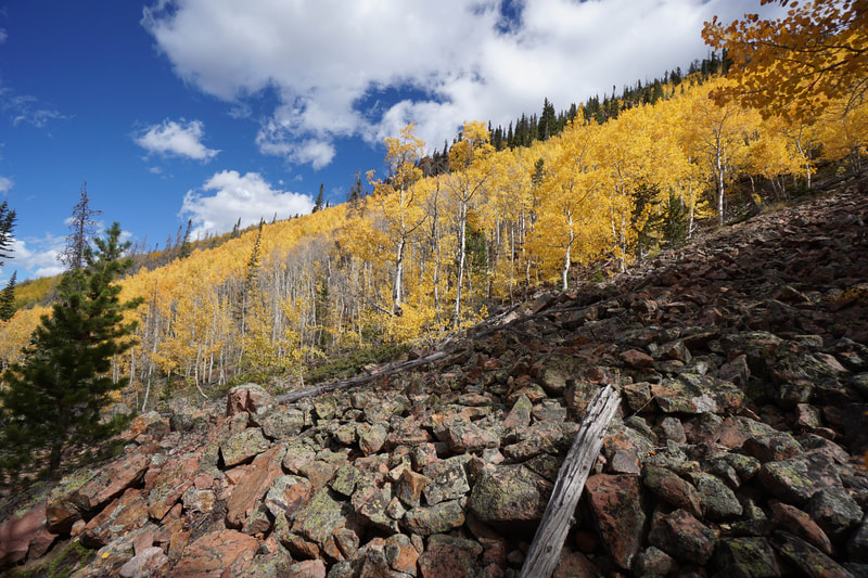
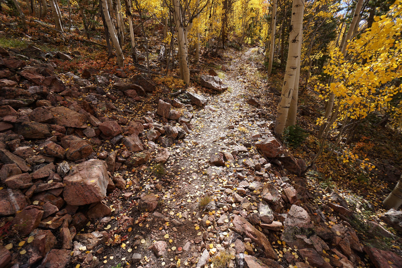
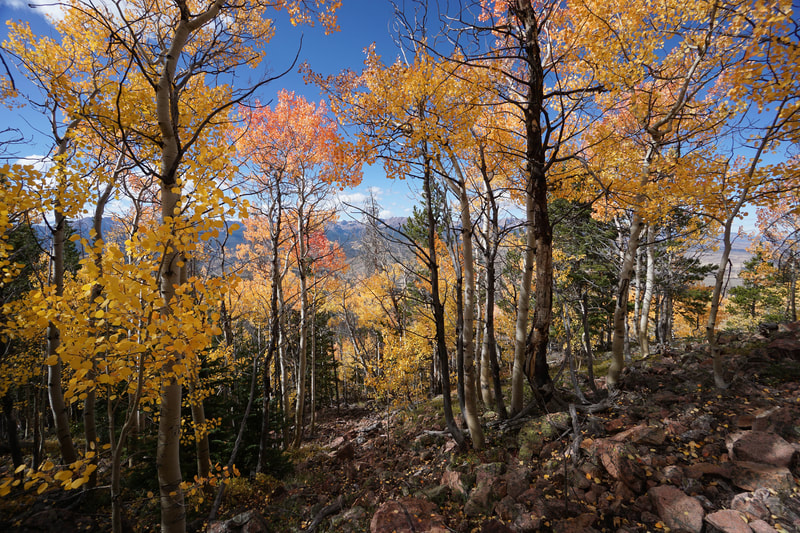
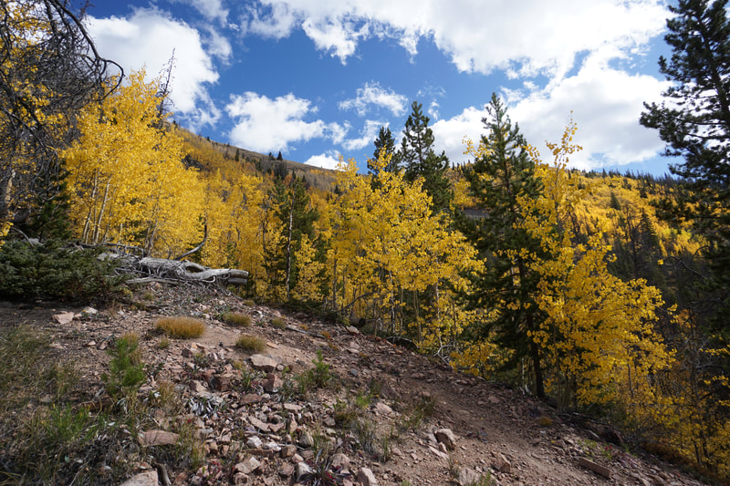
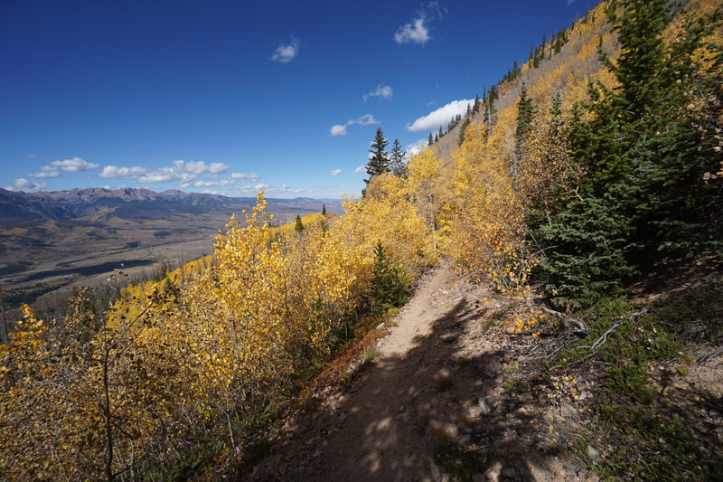
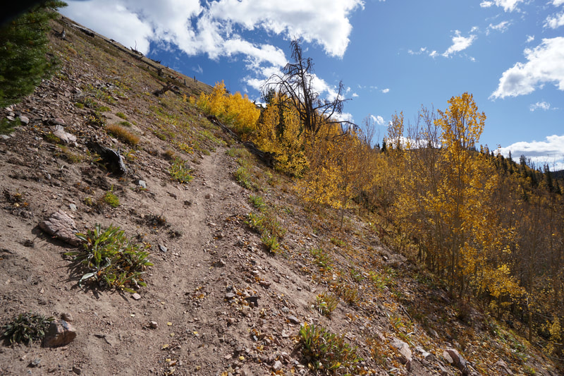
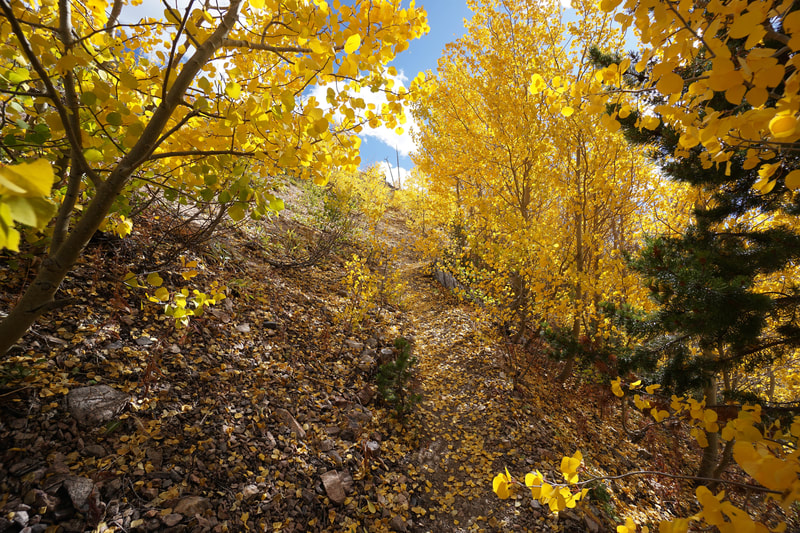
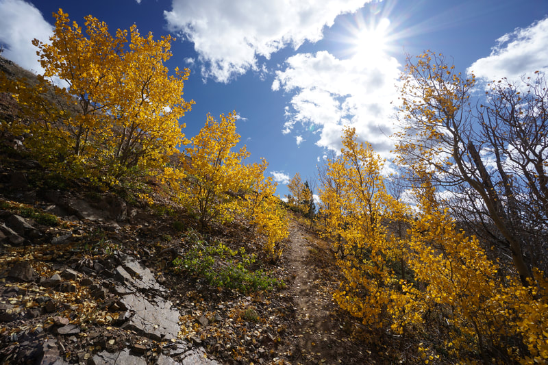
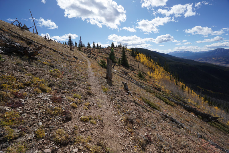
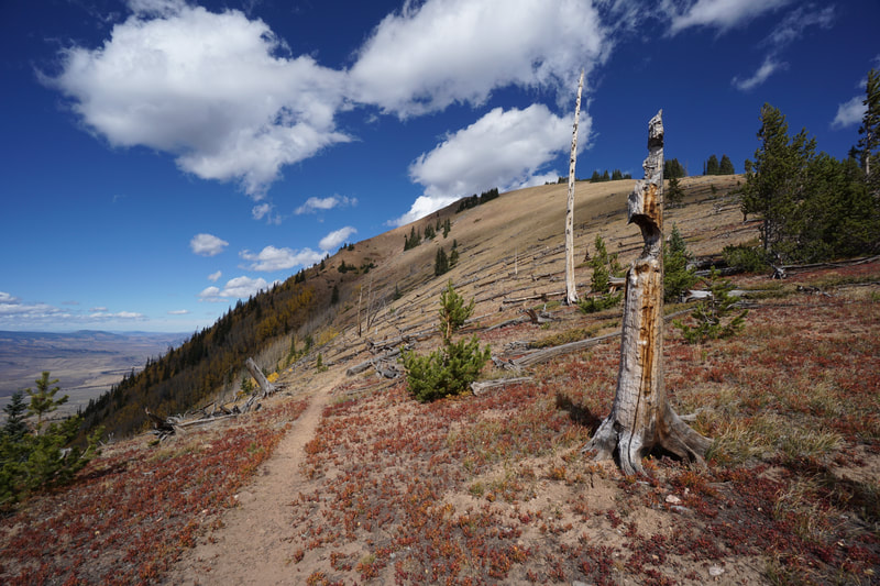
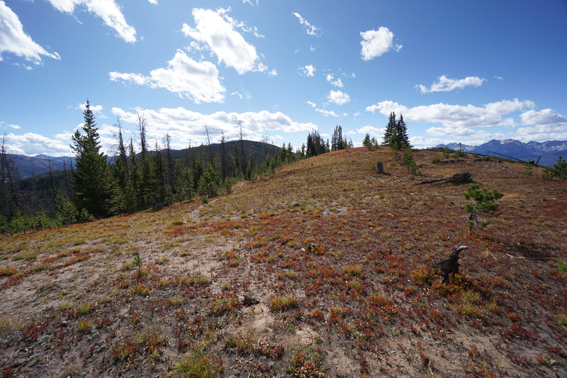
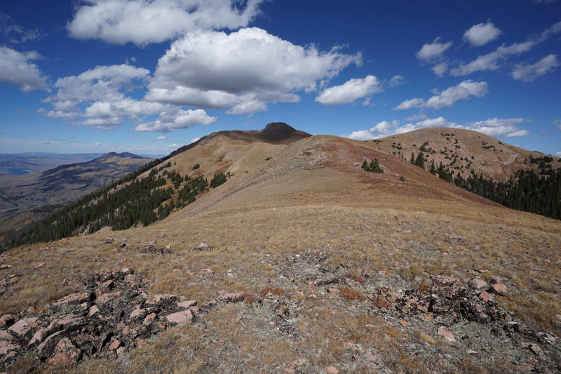
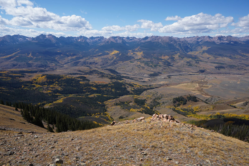
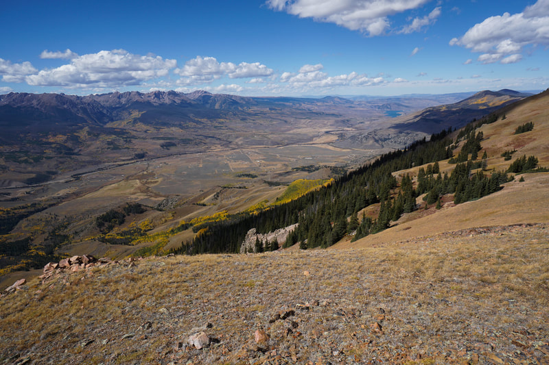
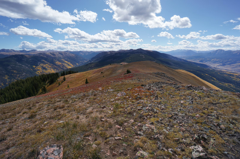
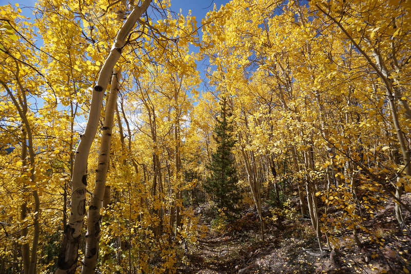
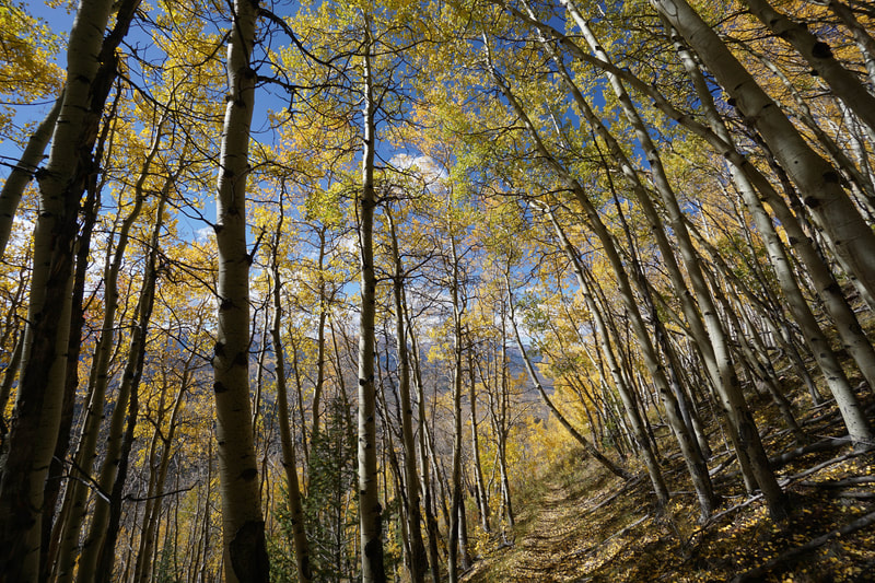
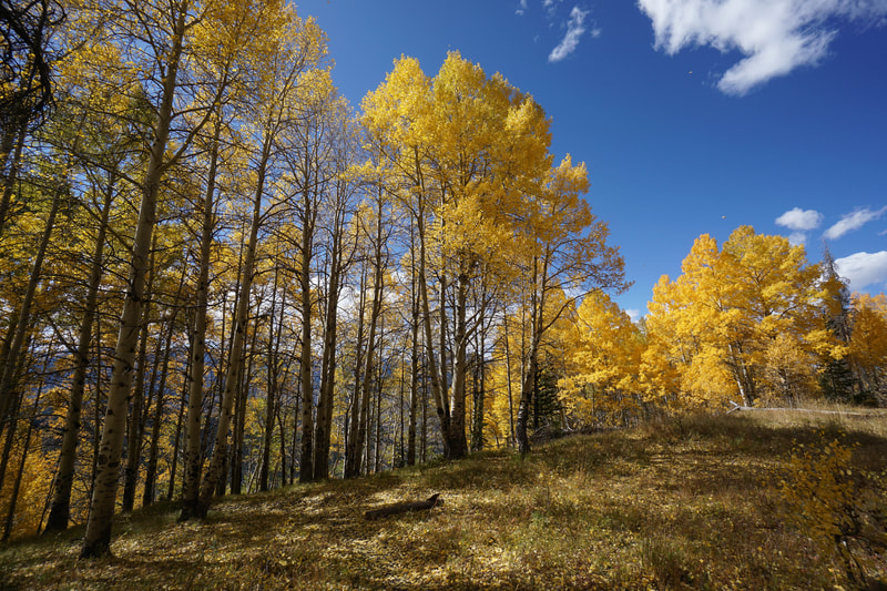
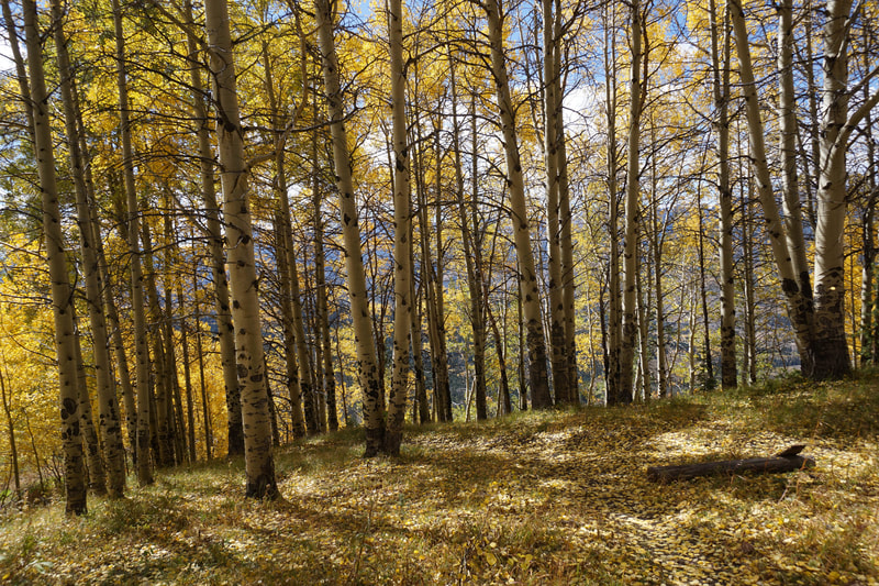
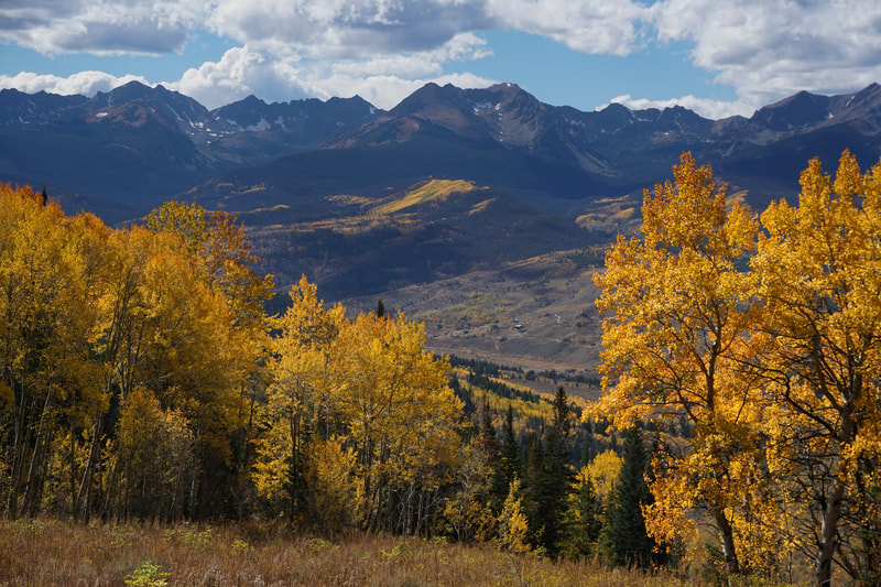
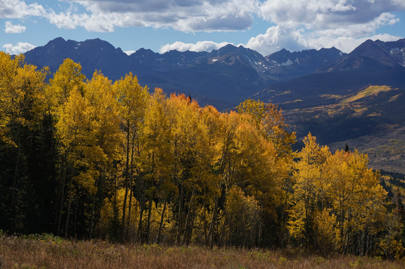
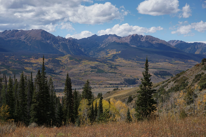
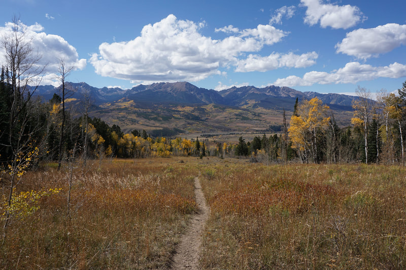
The trail starts by heading east from the trailhead across relatively level terrain and aspen groves as it approaches a creek. Cross the bridge and begin the steady but mellow ascent. You’ll pass through more and more aspen groves, get your first glimpses of Ute Peak, the saddle, and the monumental aspen grove leading to the saddle. Soon you’ll arrive at the first open meadow and the views back to the west of the Gores will stop you dead in your tracks. Continue the steady climb, which starts getting steeper, along the drainage. Before long you’ll reach a ridge that takes you into the aspen grove that you’ve been anticipating. This grove is a beautiful mix of old growth and young aspens will yellow, orange, and red colors mixing beautifully. The Gore Range in the distance provides a stark backdrop to the glorious color of this grove. Continue through the aspens as the trail gets steeper and steeper. After the steepest part of the trail, you’ll break through treeline and arrive at the saddle. This unnamed saddle is also the junction with the Ute Peak Trail. The saddle is thinly forested so the panoramic views of the Gore Range unobscured. This is the destination of this hike and at 3.4 miles from the trailhead and 2,900 ft of elevation gain, it is a worthy destination. That being said… If you want just a little more adventure, hike up the steep tundra heading north towards Ute Peak. The “Ute Peak Trail” disappears as you climb up the steep slope but Route-finding is easy. After .5 mile and 600 feet of elevation gain you’ll be at the summit of Point 11,902 and you’ll get your first full-on glimpse of Ute Peak. Ute Peak is still about 1 to 1.5 miles away and the route is not as clear as it looks on the maps. If you have the time and energy go for it, if not, enjoy the stellar views from 11,902 and head back to the saddle. The return trip is every bit as scenic but the descent from the saddle is tough with the steep terrain. The aspens on the way down will still be stunning and the Gore Range views will still be majestic. Be sure to budget some extra time for fall colors photography along the way. All in all, this is one of the most phenomenal fall colors hikes in the Front Range, and chances are, it won’t be very busy. Enjoy! |
- HOME
- ABOUT
-
HIKES BY REGION
-
NATIONAL PARK HIKES
- BENT'S OLD FORT NATIONAL HISTORIC SITE
- BLACK CANYON OF THE GUNNISON NATIONAL PARK
- COLORADO NATIONAL MONUMENT
- CURECANTI NATIONAL RECREATION AREA
- DINOSAUR NATIONAL MONUMENT
- FLORISSANT FOSSIL BEDS NATIONAL MONUMENT
- MESA VERDE NATIONAL PARK
- ROCKY MOUNTAIN NATIONAL PARK
- GREAT SAND DUNES NATIONAL PARK
- HOVENWEEP NATIONAL MONUMENT
- SAND CREEK MASSACRE NATIONAL HISTORIC SITE
- YUCCA HOUSE NATIONAL MONUMENT
- HIKES BY CATEGORY
- NEWS
- WEBCAMS
- $UPPORT GHC
- INTERACTIVE MAP
Acorn Creek Trail & Pt. 11,902
Ptarmigan Peak Wilderness
White River National Forest
Date Hiked: October 4, 2019
Distance: 6.8 mi (RT) to pass / 7.9 mi (RT) to Pt. 11,902
Elevation Gain: 2,900 ft to pass / 3,500 ft to Pt. 11,902
Elevation Min/Max: 8,629 to 11,902 ft
Trailhead Lat/Long: 39º 45' 42" N; 106º 07' 11" W
Managing Agency: U.S. Forest Service
Fee: None

