|
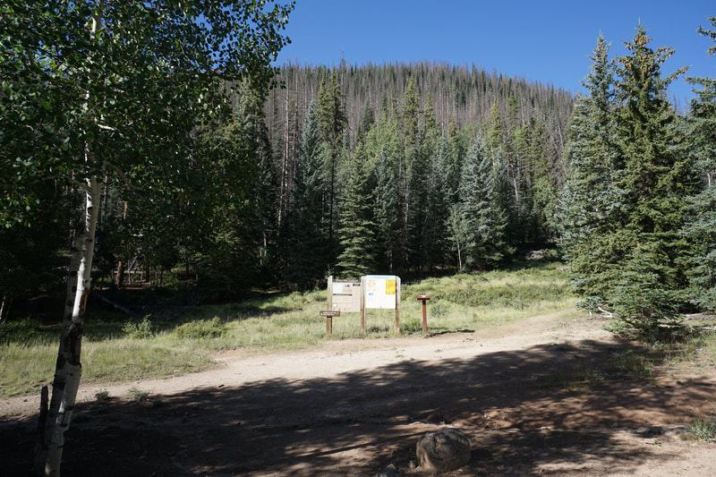
DIRECTIONS: From Creede, CO, take State Hwy 149 south (toward Lake City) for 19 miles to Forest Road 520, look for the Rio Grande Reservoir sign. Turn left onto Rd. 520 and stay left at the fork to stay on Rd. 520 now a good dirt road. Continue for 10.8 miles to the 30 Mile campground. Left turn into campground and follow the signs to the trailhead parking lot for both Squaw Creek Trail and Weminuche Pass Trail.
Rio Grande Reservoir is a beautiful spot nestled against the eastern slopes of the San Juan Mountains and the mighty Weminuche Wilderness. This is a popular spot for hikers and backpackers to access the Weminuche Wilderness. The Thirty Mile Campground is one of nicest in Colorado and the Weminuche Trail begins from the Campground.
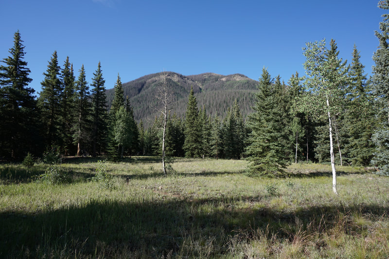
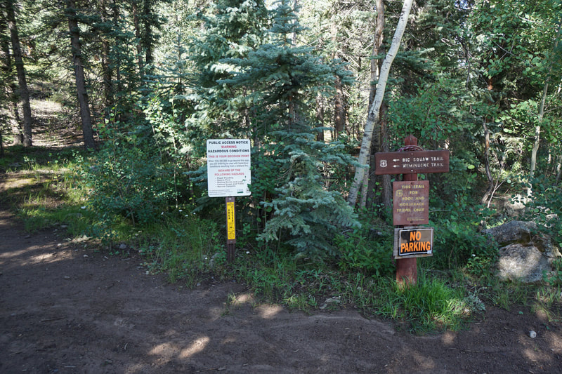
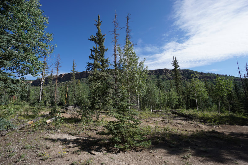
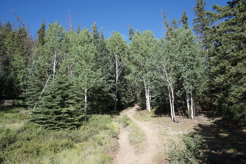
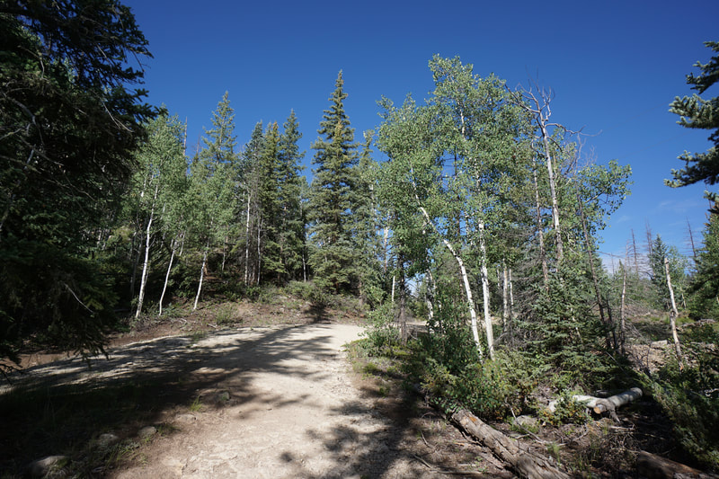
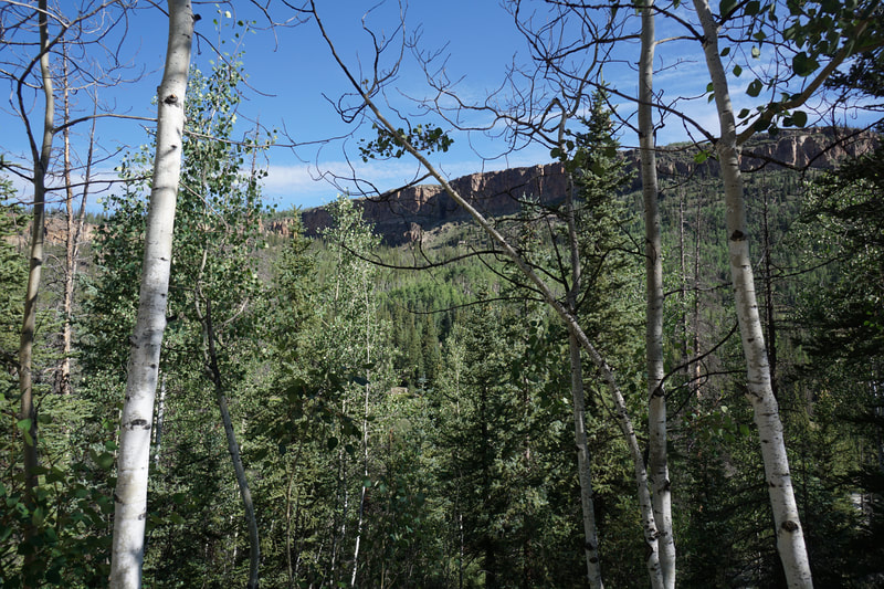
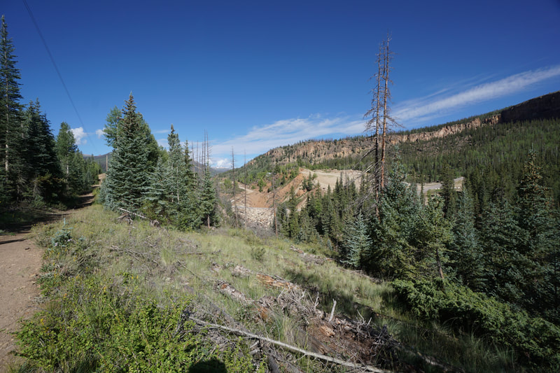
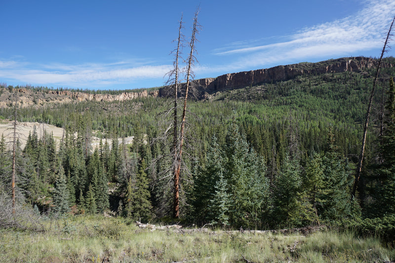
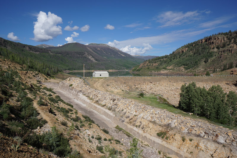
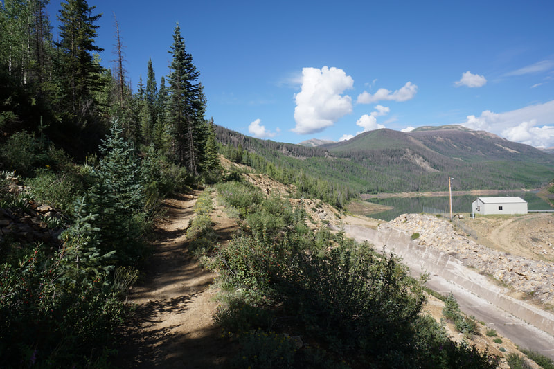
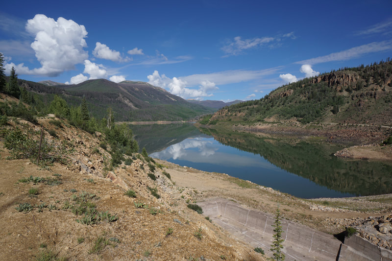
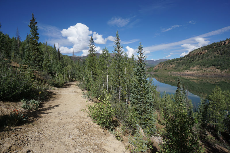
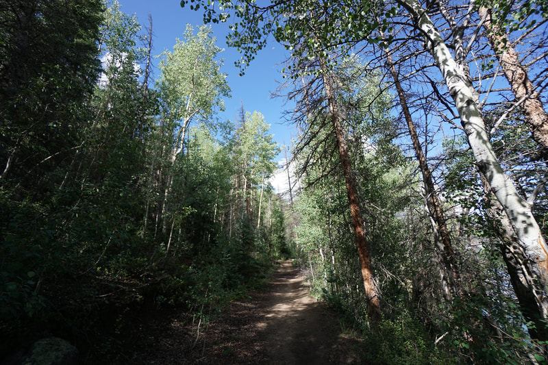
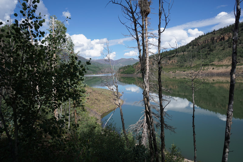
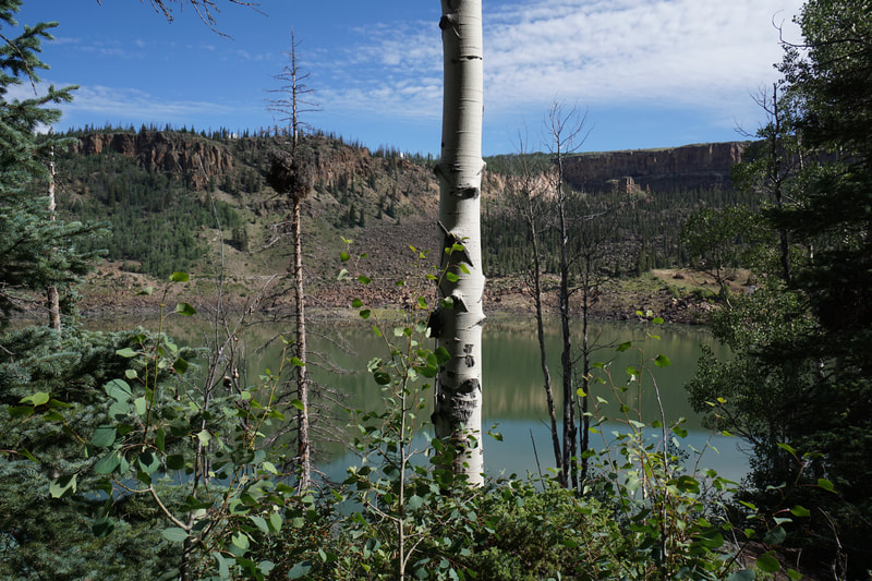
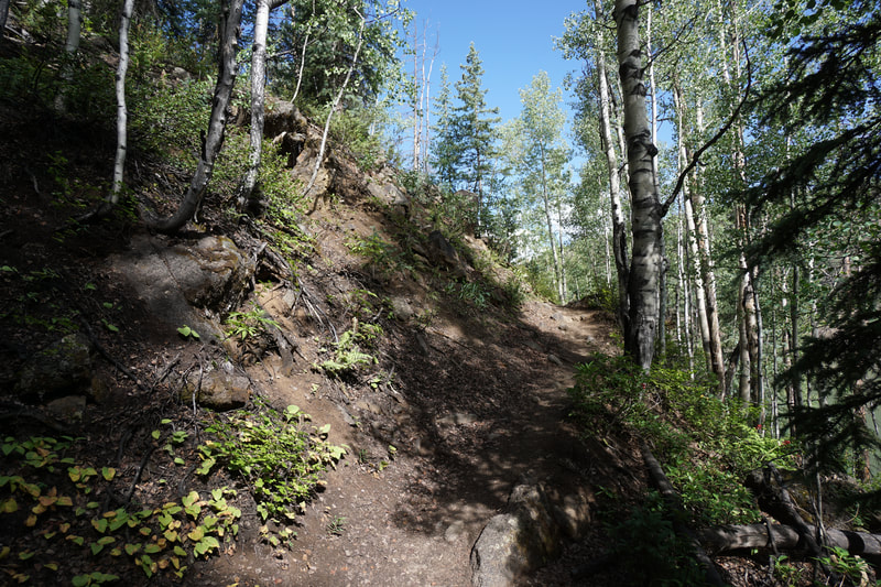
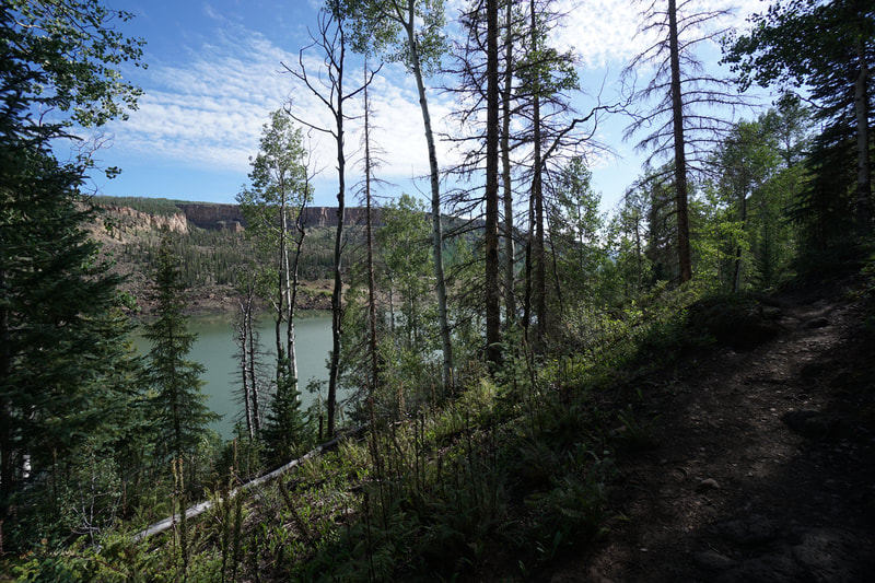
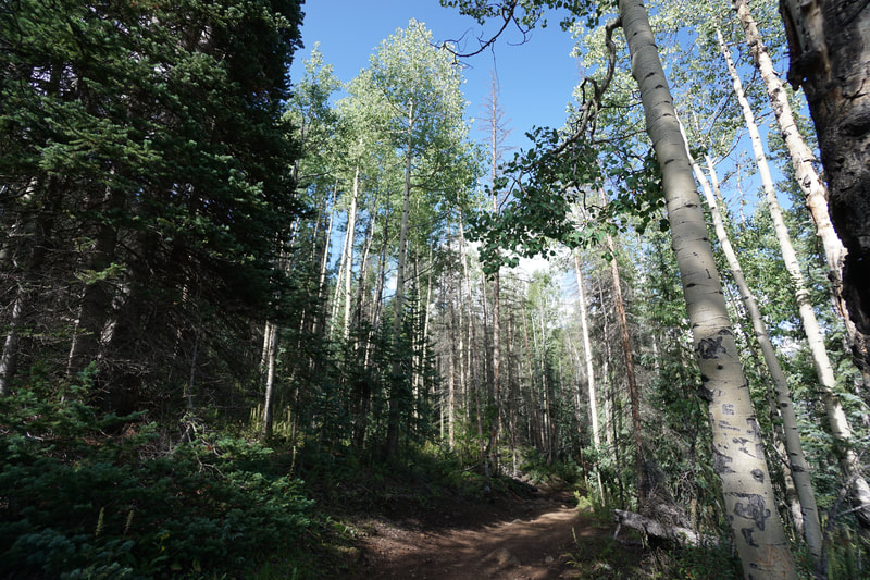
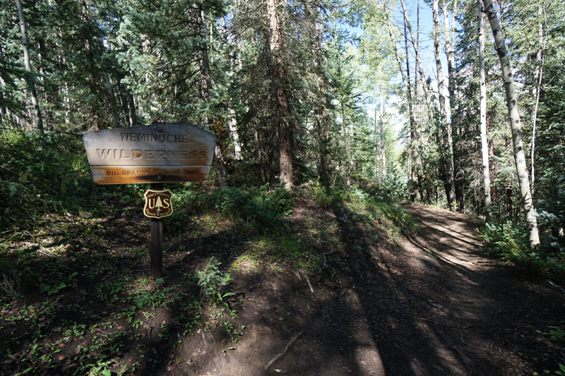
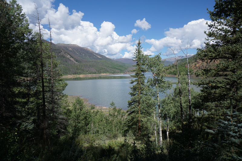
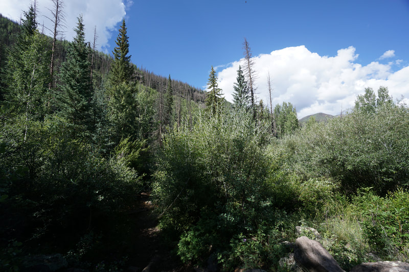
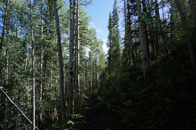
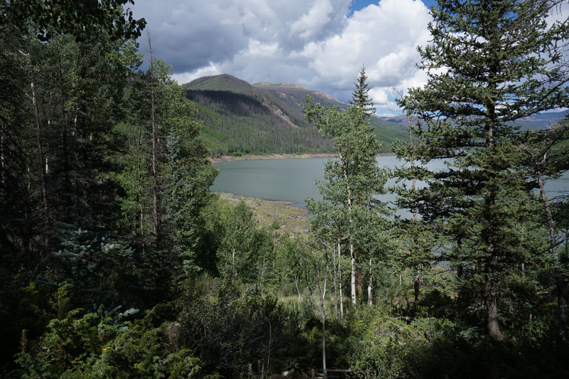
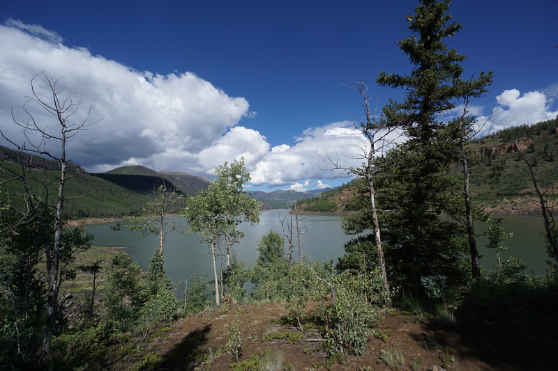
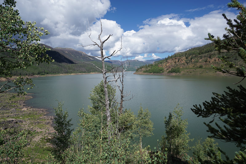
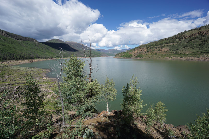
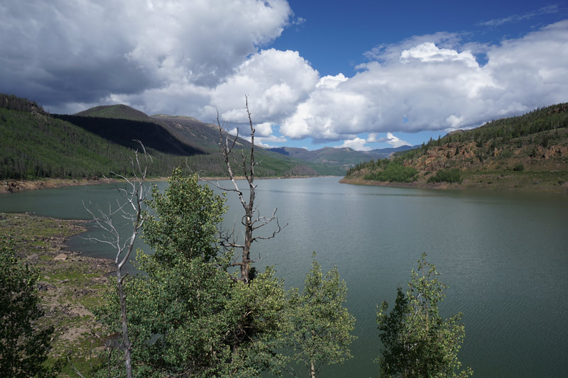
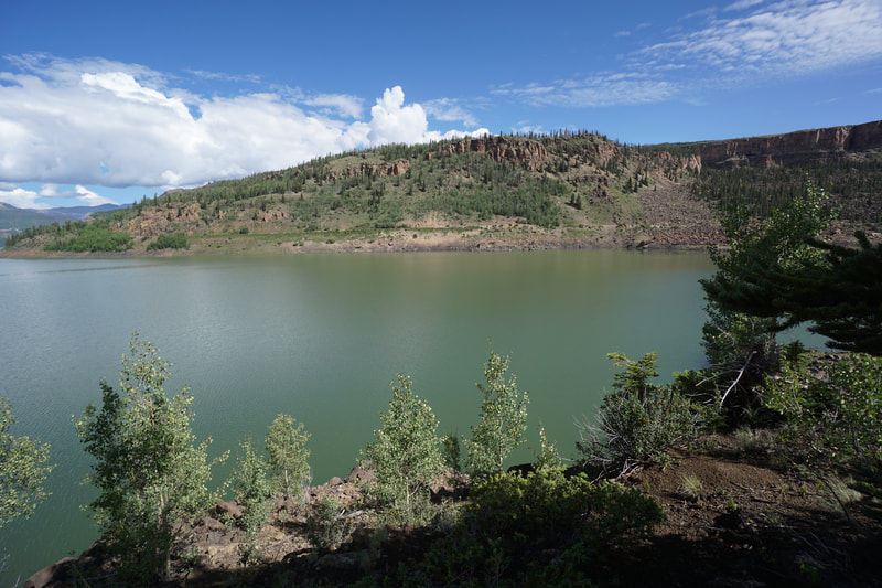
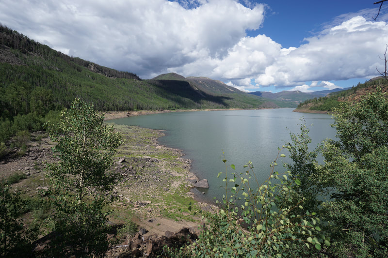
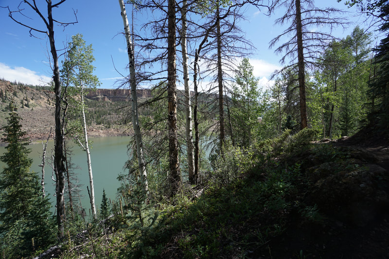
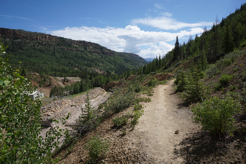
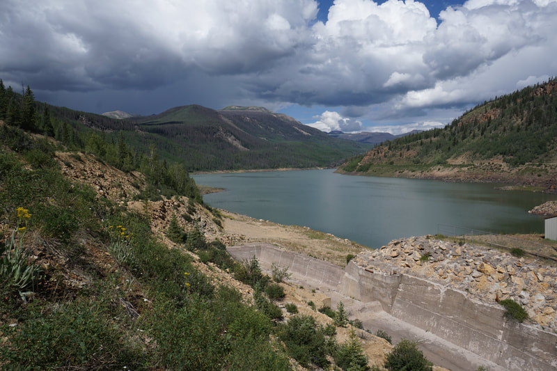
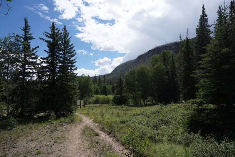
The Weminuche Trail leads up to Weminuche Pass after 5.5 miles. This trail provides access and connections to reach the iconic Rio Grande Pyramid and the Continental Divide Trail. However, if you are looking for a shorter excursion and a way to explore the Rio Grande Reservoir, then hiking the first part of the Weminuche Trail is a good option. The trail crosses Weminuche Creek at the 2 mile mark and this is a good destination for a short day hike. Unfortunately, some bad weather was moving in quickly and we were forced to turn around after only a mile of hiking. Still, this short segment provides nice views of the reservoir and an enjoyable short hike from the Thirty Mile Campground. The trail starts in the Thirty Mile Campground and soon splits off to the west while the Squaw Creek Trail continues south. The trail enters aspen and pine forest for a few minutes before the views open up to the reservoir and the plateaus to the north. The trail skirts the southern shore of the reservoir (NO RESERVOIR ACCESS) providing nice views to the west. Before long, the trail descends into the forest and enters the Weminuche Wilderness Area. Soon after the wilderness sign, the trail bends at a point with obvious views if you walk into the trees for a few steps. This is a terrific spot to take in the views of the reservoir. In the distance you get just a little peek at the San Juan Mountains but the true treasures of the Weminuche are too far to view from here. The trail continues and gets a bit overgrown as you continue the hike. The steep hillsides are covered in aspens (should be great in the fall) and multiple little creeks cascade down to the reservoir. It was around this area that we had to turn back but I look forward to returning to this spot and backpacking into the Weminuche further. The Rio Grande Pyramid and the Window are high on my bucket list. |
- HOME
- ABOUT
-
HIKES BY REGION
-
NATIONAL PARK HIKES
- BENT'S OLD FORT NATIONAL HISTORIC SITE
- BLACK CANYON OF THE GUNNISON NATIONAL PARK
- COLORADO NATIONAL MONUMENT
- CURECANTI NATIONAL RECREATION AREA
- DINOSAUR NATIONAL MONUMENT
- FLORISSANT FOSSIL BEDS NATIONAL MONUMENT
- MESA VERDE NATIONAL PARK
- ROCKY MOUNTAIN NATIONAL PARK
- GREAT SAND DUNES NATIONAL PARK
- HOVENWEEP NATIONAL MONUMENT
- SAND CREEK MASSACRE NATIONAL HISTORIC SITE
- YUCCA HOUSE NATIONAL MONUMENT
- HIKES BY CATEGORY
- NEWS
- WEBCAMS
- $UPPORT GHC
- INTERACTIVE MAP
Weminuche Trail / Rio Grande Reservoir
Weminuche Wilderness, Rio Grande Nat. Forest
Date Hiked: July 31, 2021
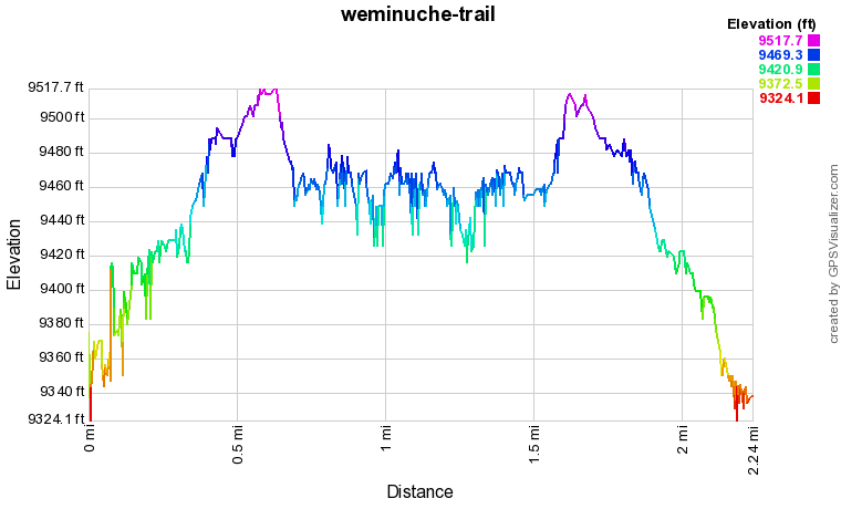
Distance: 2 mi (RT)
Elevation Gain: 175 ft
Elevation Min/Max: 9,334 to 9,518 ft
Trailhead Lat/Long: 37.72224, -107.25930
Managing Agency: U.S. Forest Service
Fee: None

