|
|
|
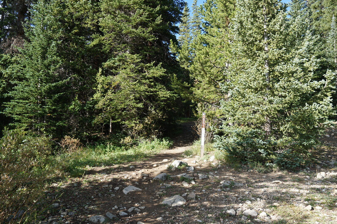
DIRECTIONS: From the town of Jefferson along Hwy 285, head north on County Rd 35 for 2 miles. Bear left at the fork to stay on 35. After another mile on 35, turn right onto County Road 54. After 2 1/2 miles on 54, bear left to stay on 54. The French Pass Trailhead is another 3 miles on County Road 54. This is a good dirt road but there are some potholes and rough spots. Decent clearance will be helpful and 4WD or AWD would be recommended in bad weather.
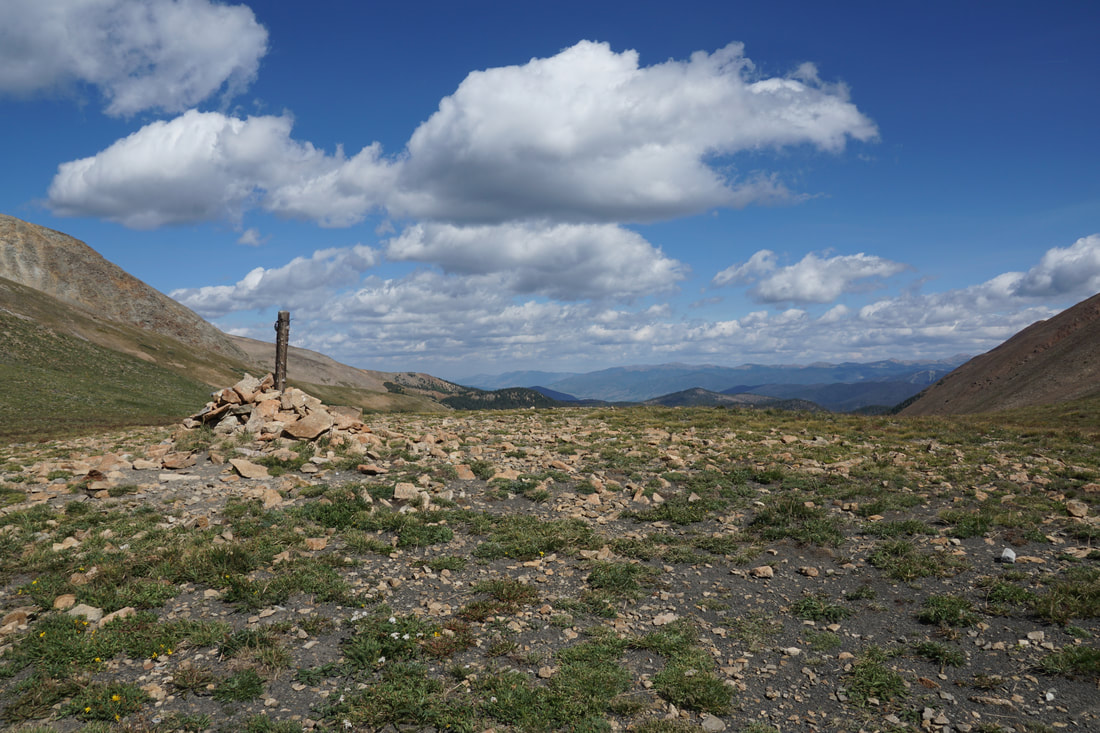
French Pass is nestled among giants in one of the prettiest parts of the Front Range. You can approach this pass from the south, as described here, or from the north by heading up access roads from Breckenridge. This hike is stellar! The views come quickly, the approach is relatively easy, and the mountains are just incredibly beautiful.
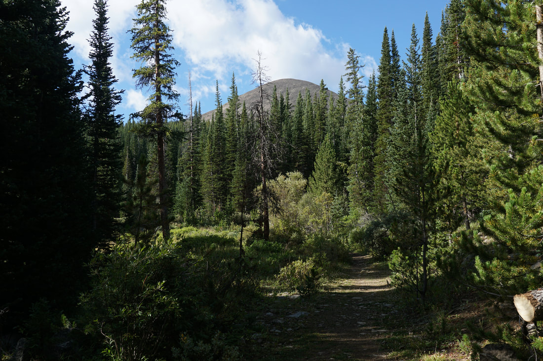
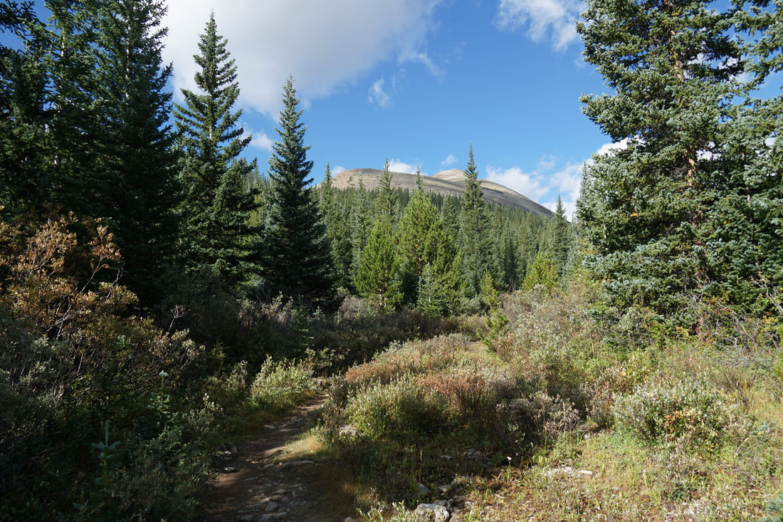
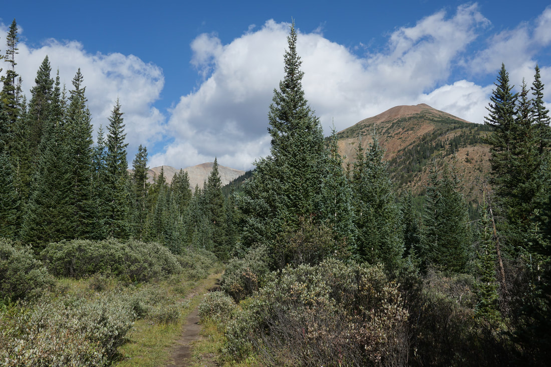
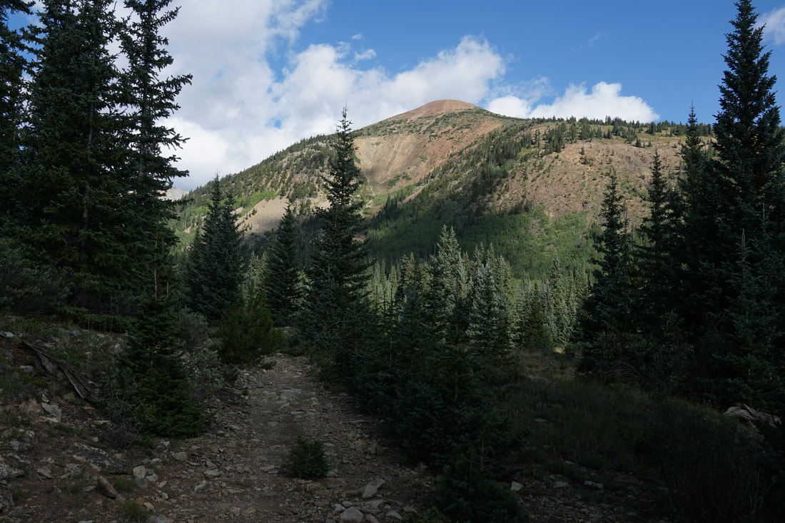
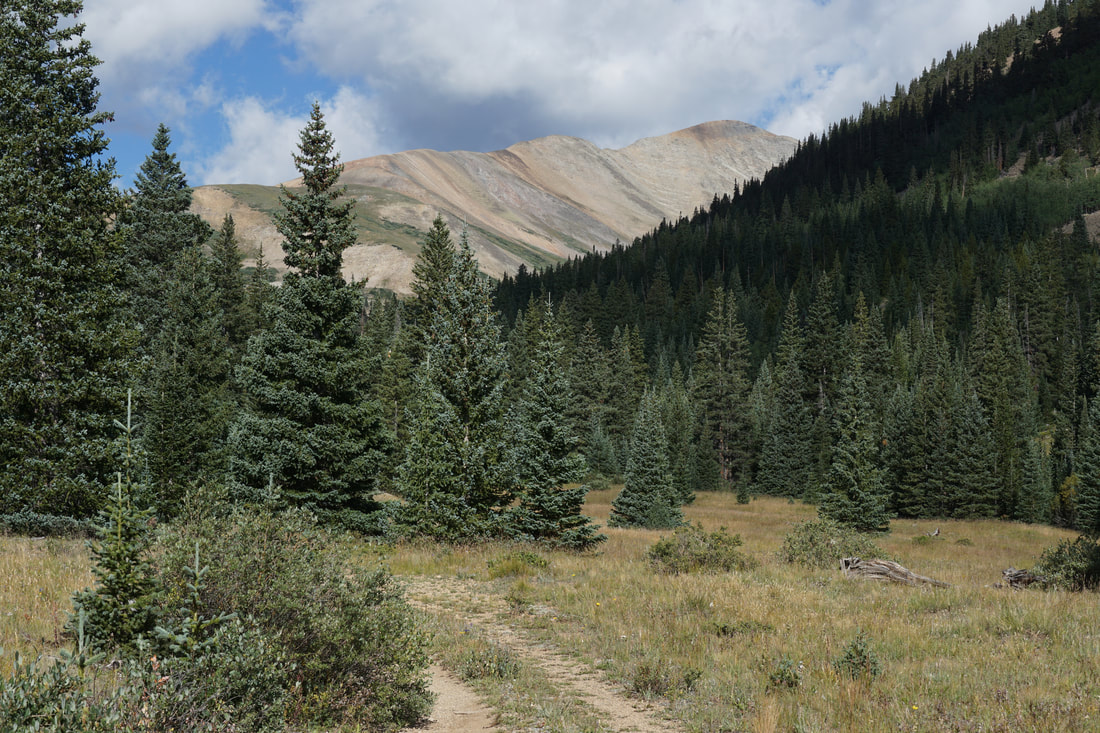
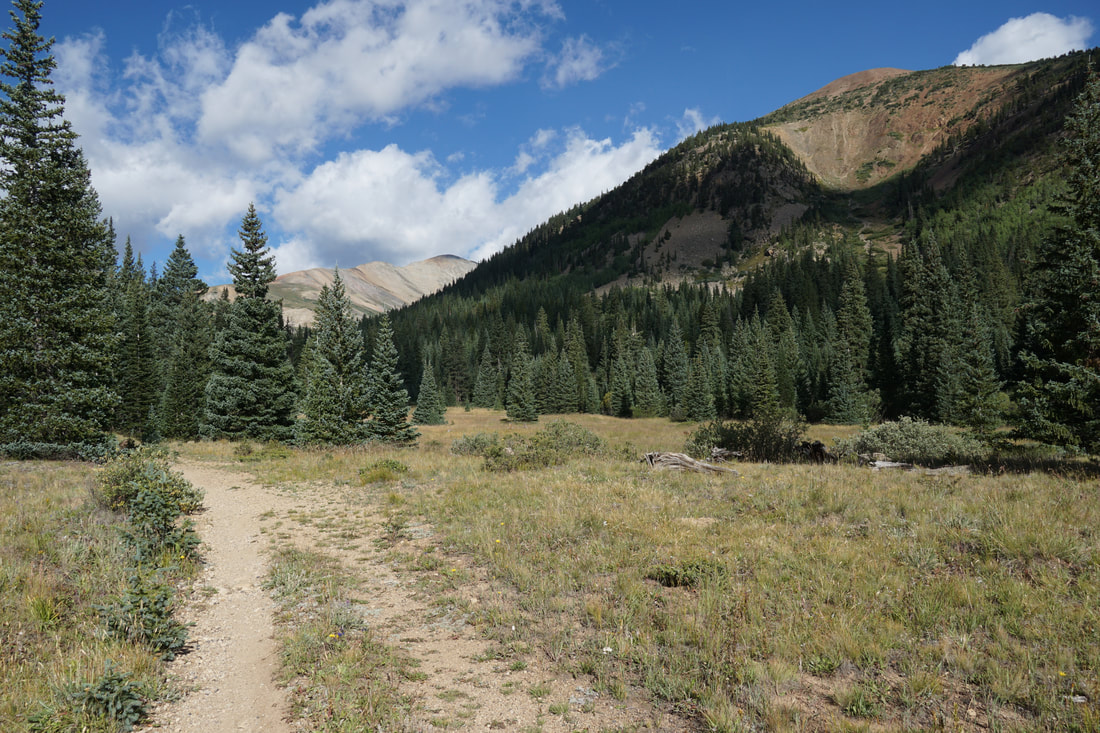
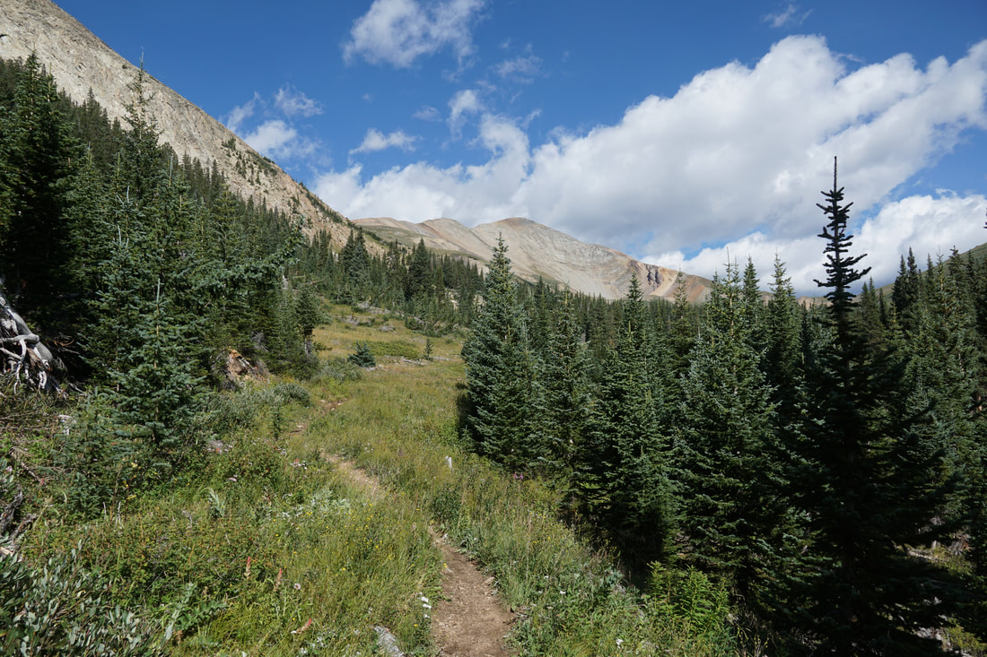
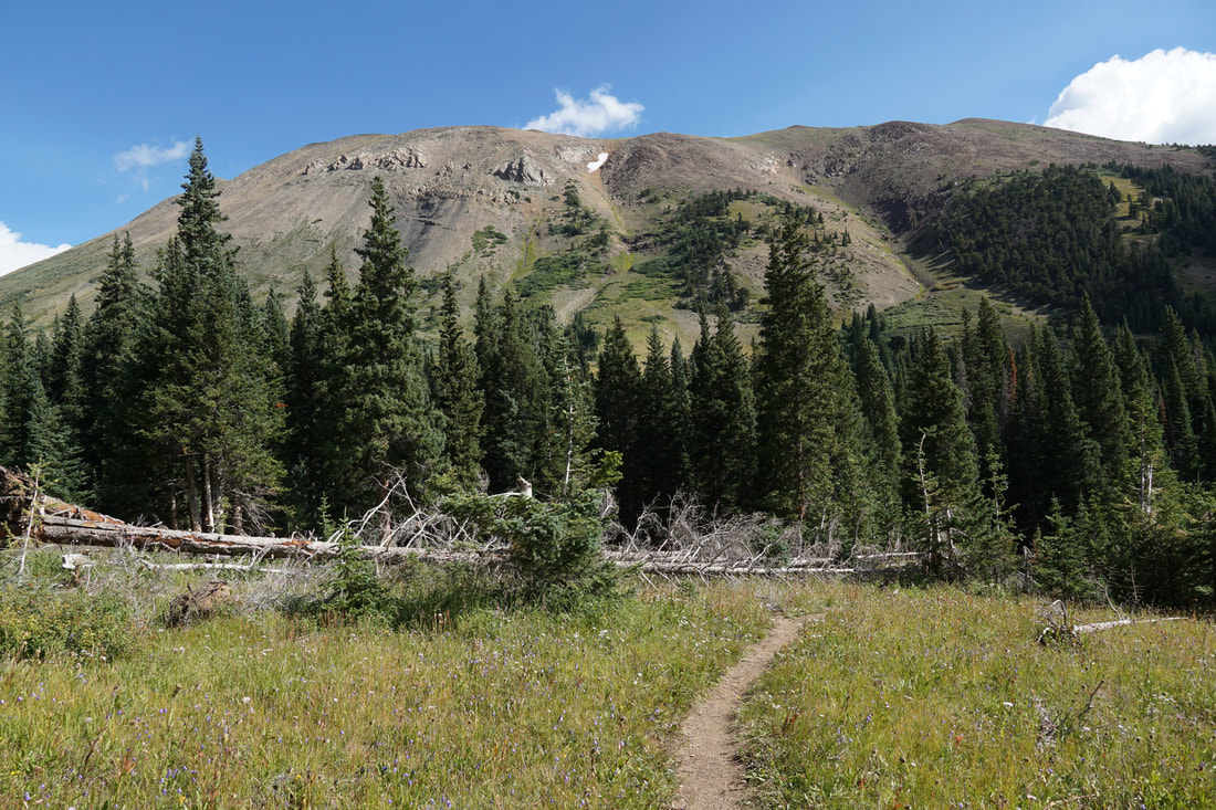
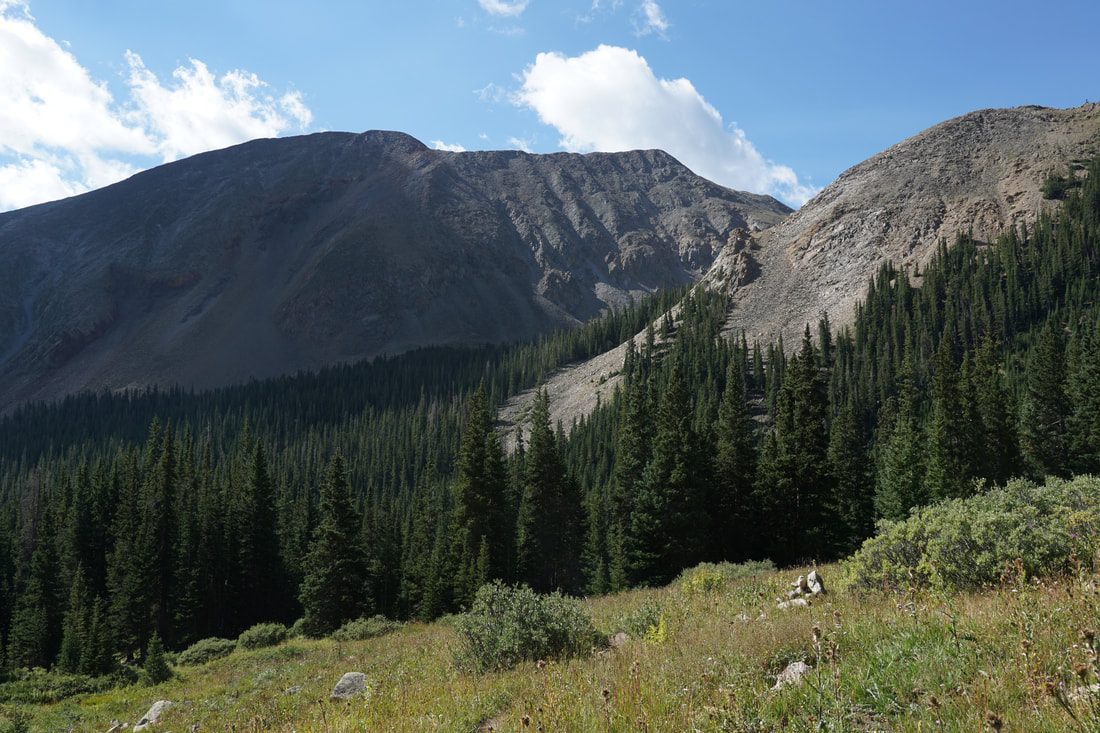
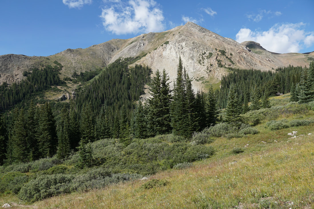
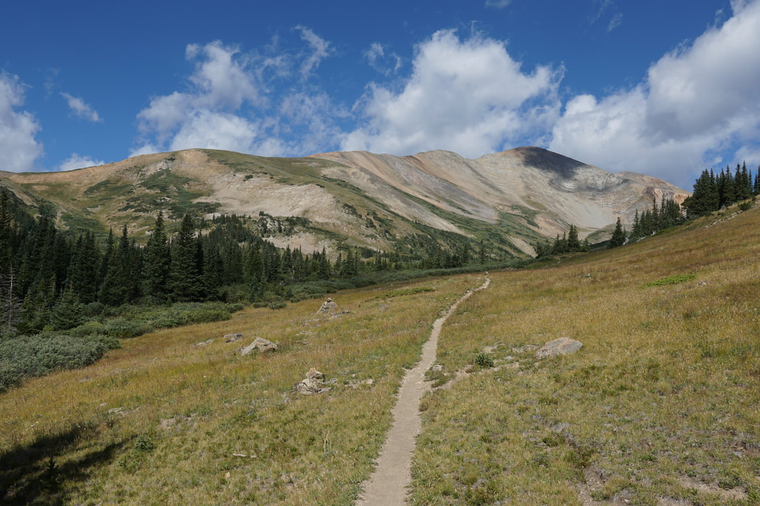
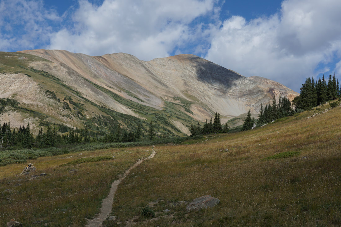
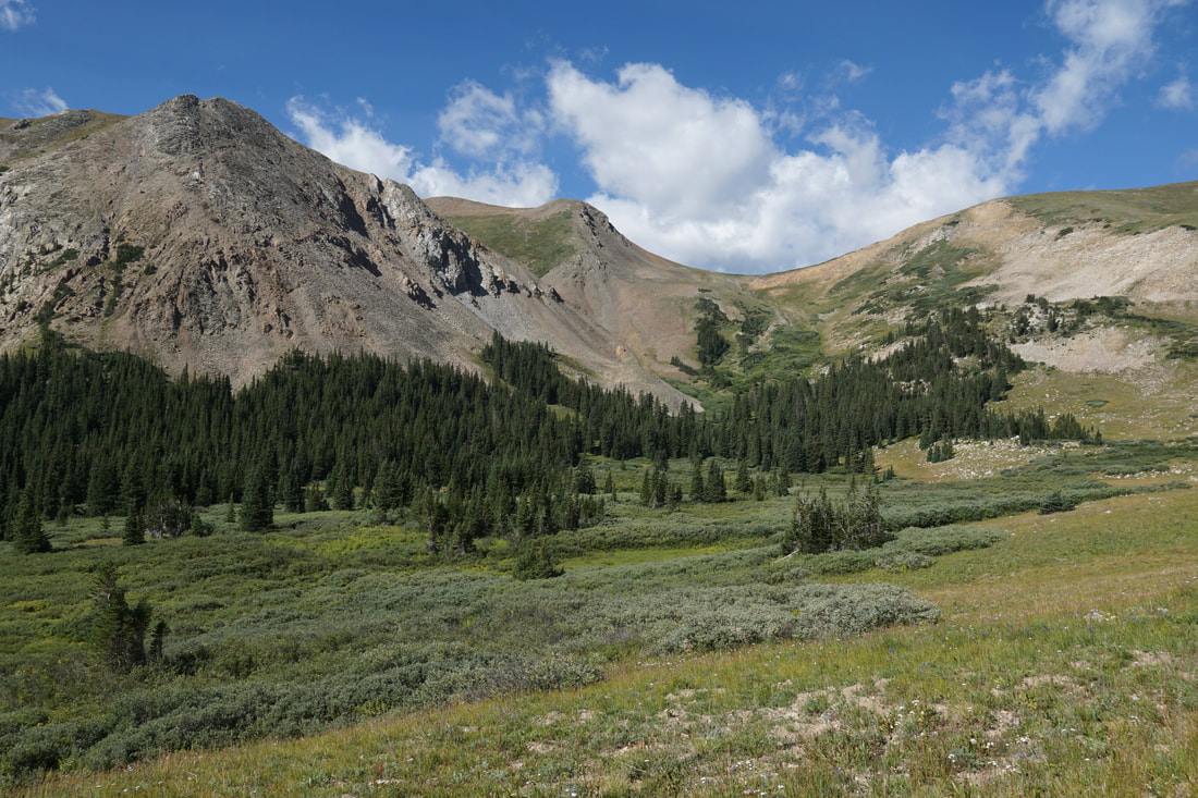
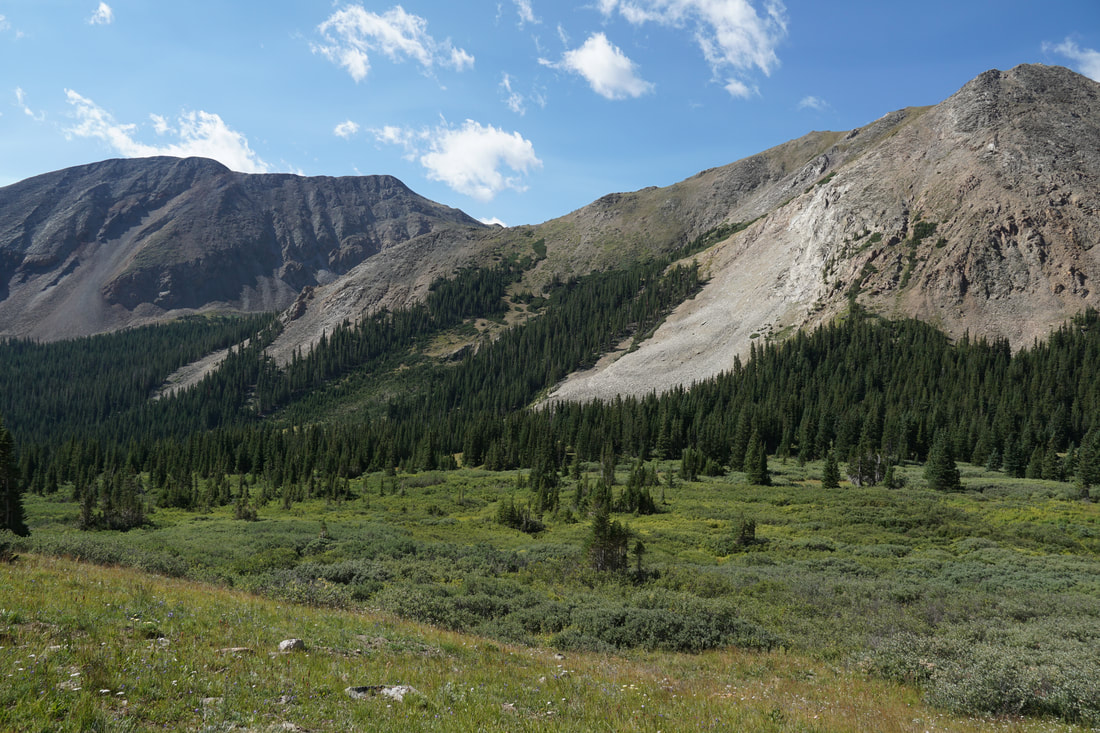
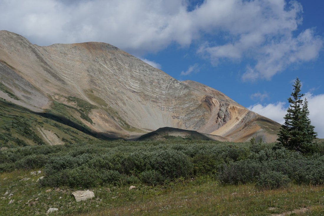
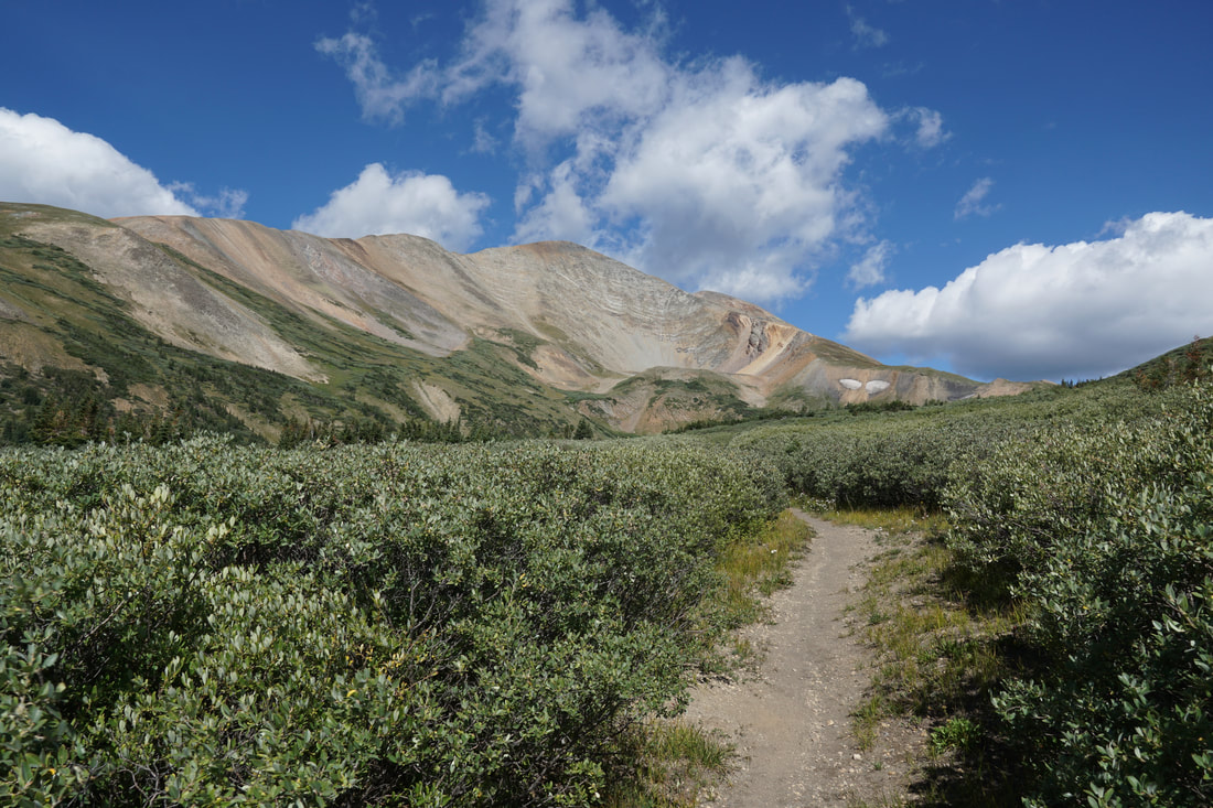
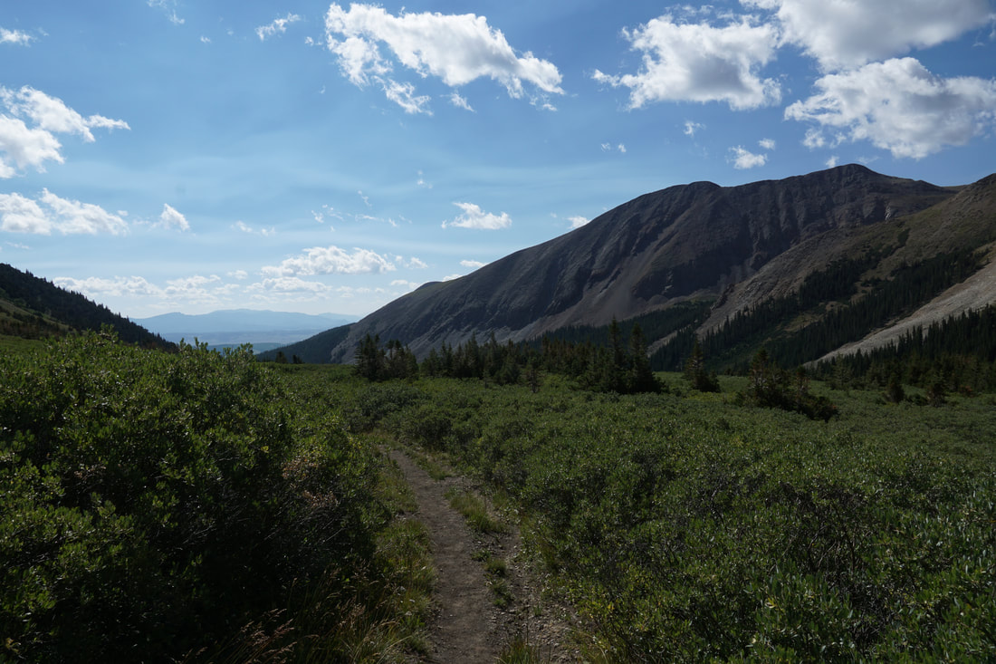
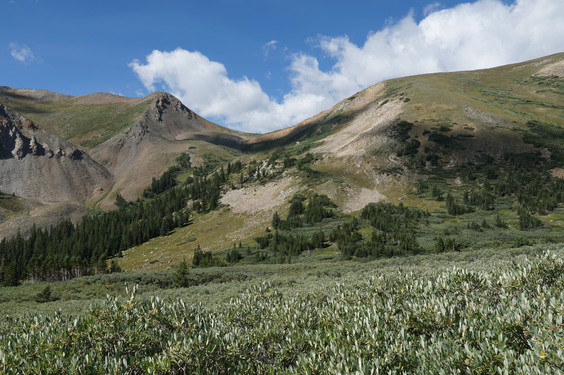
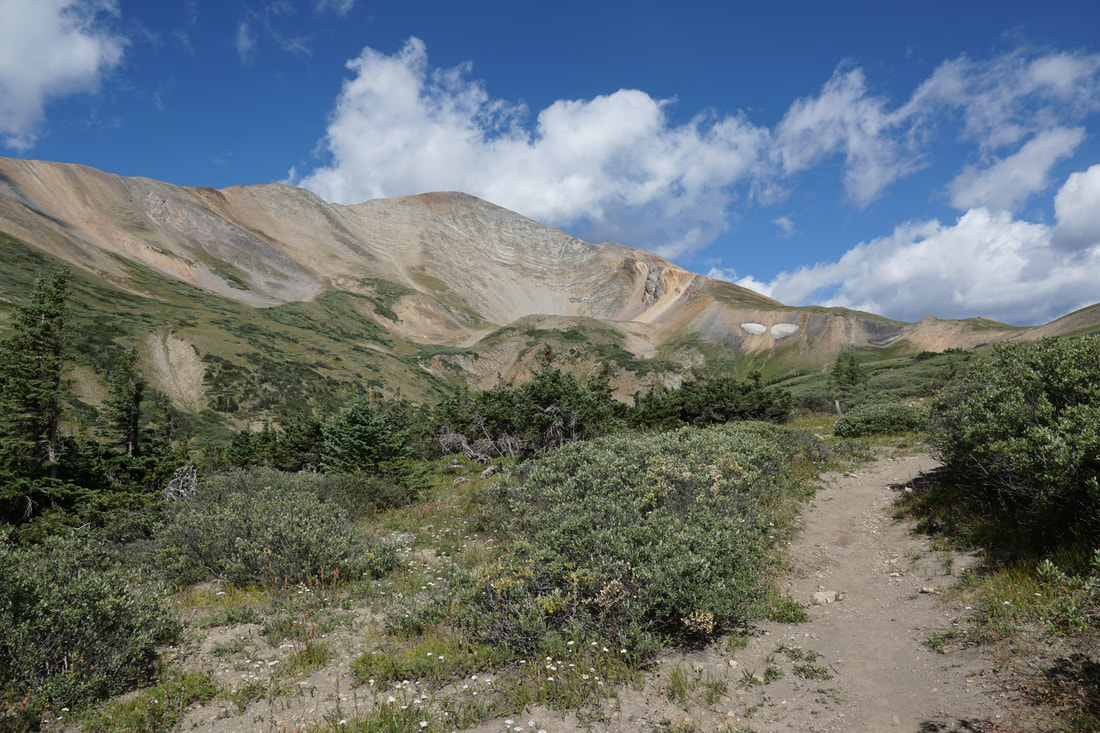
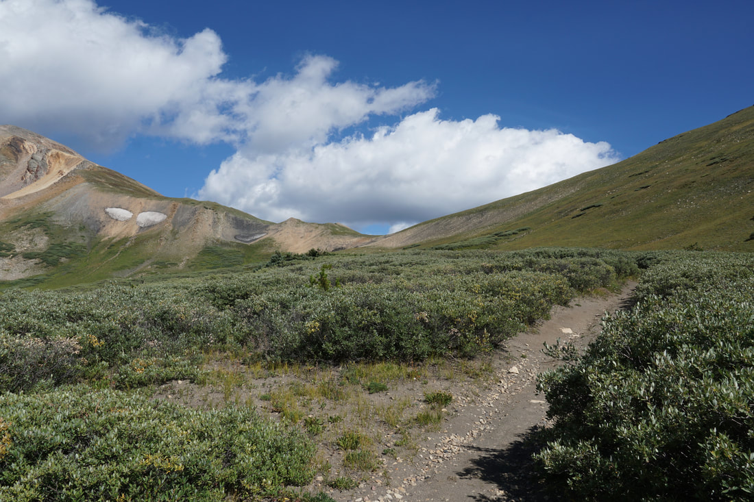
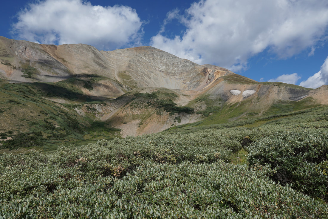
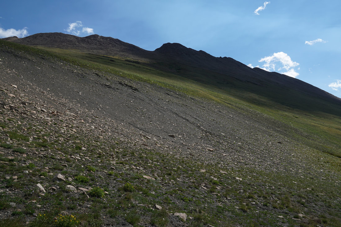
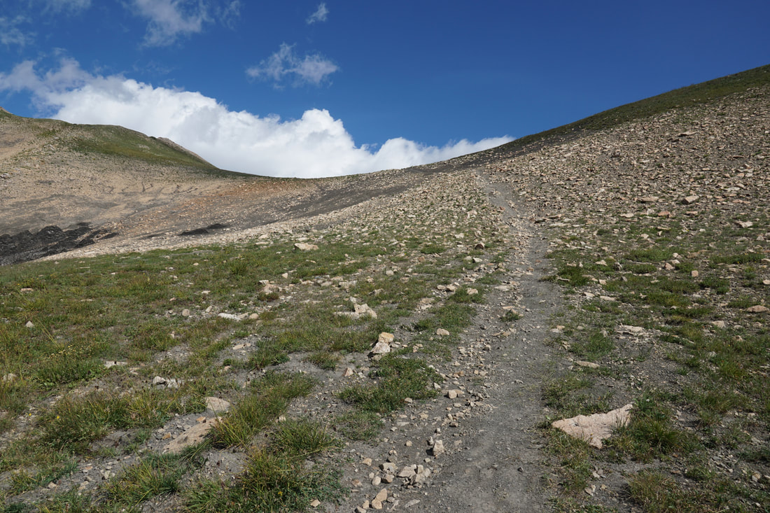
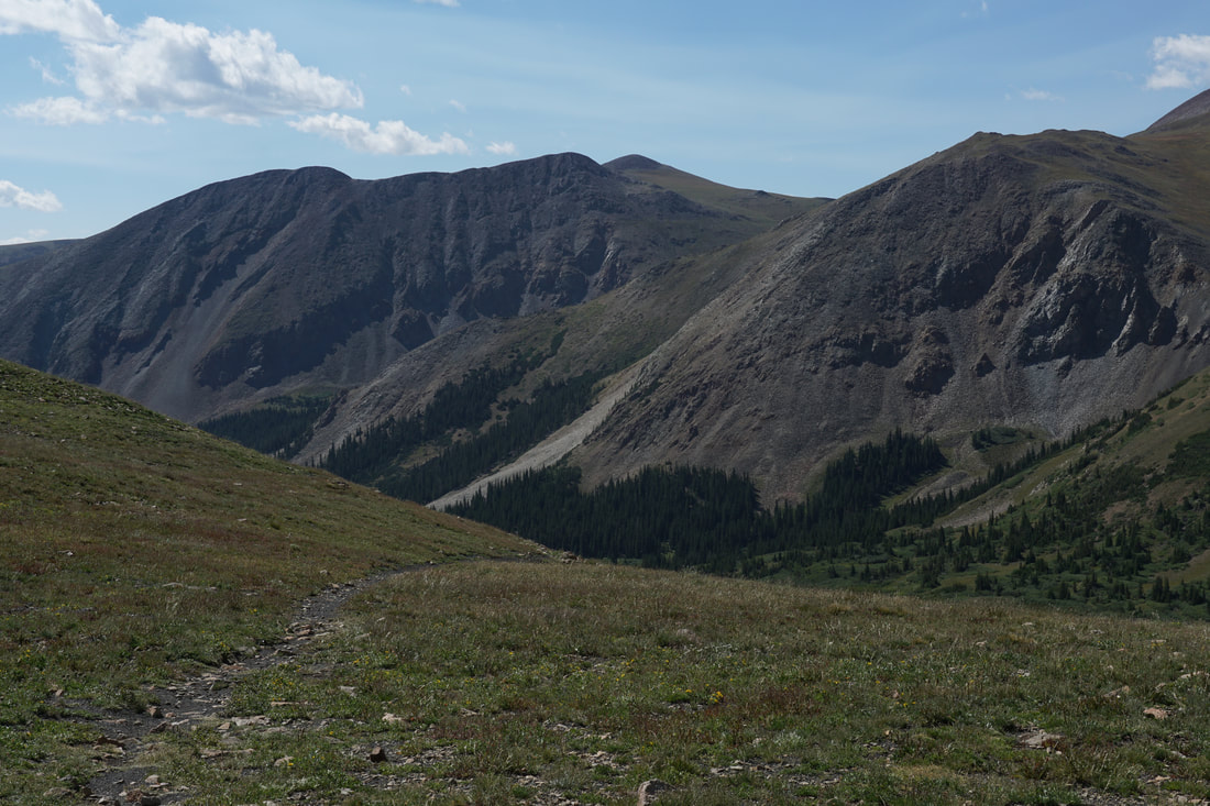
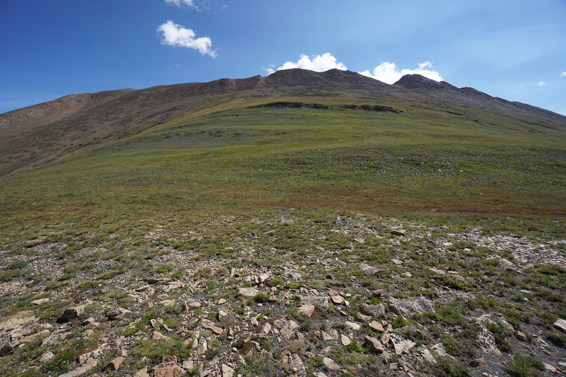
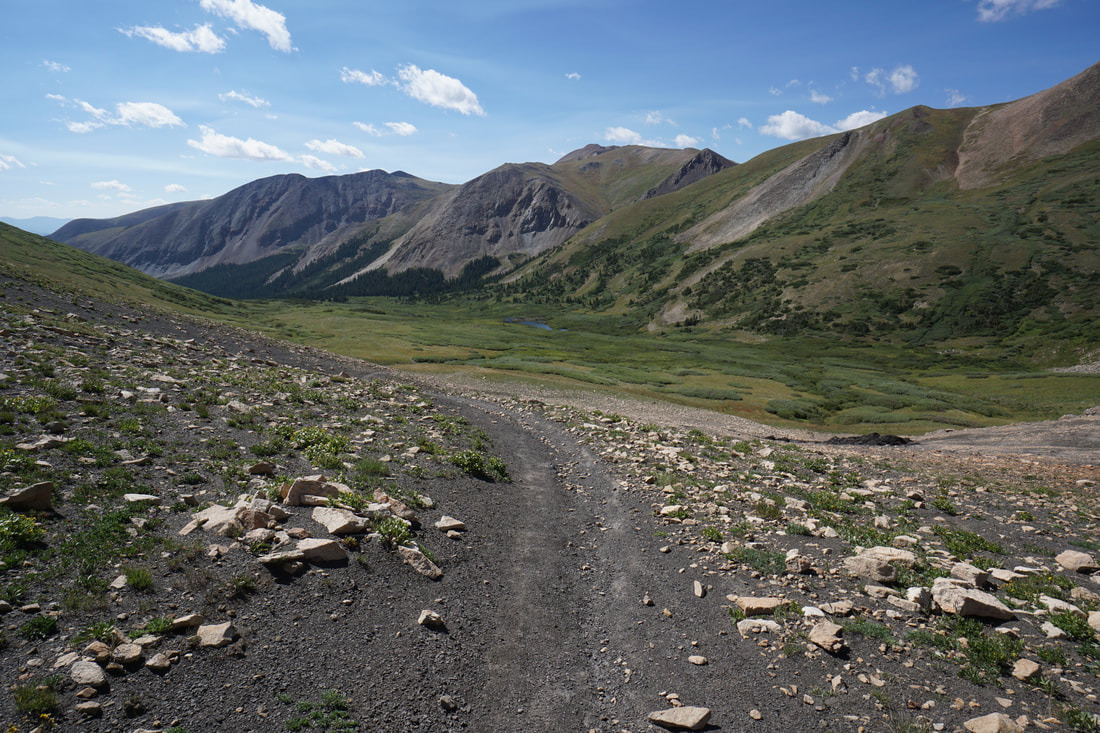
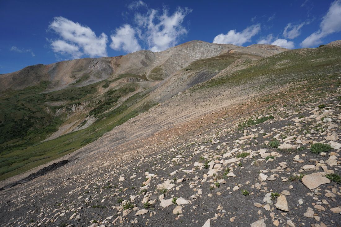
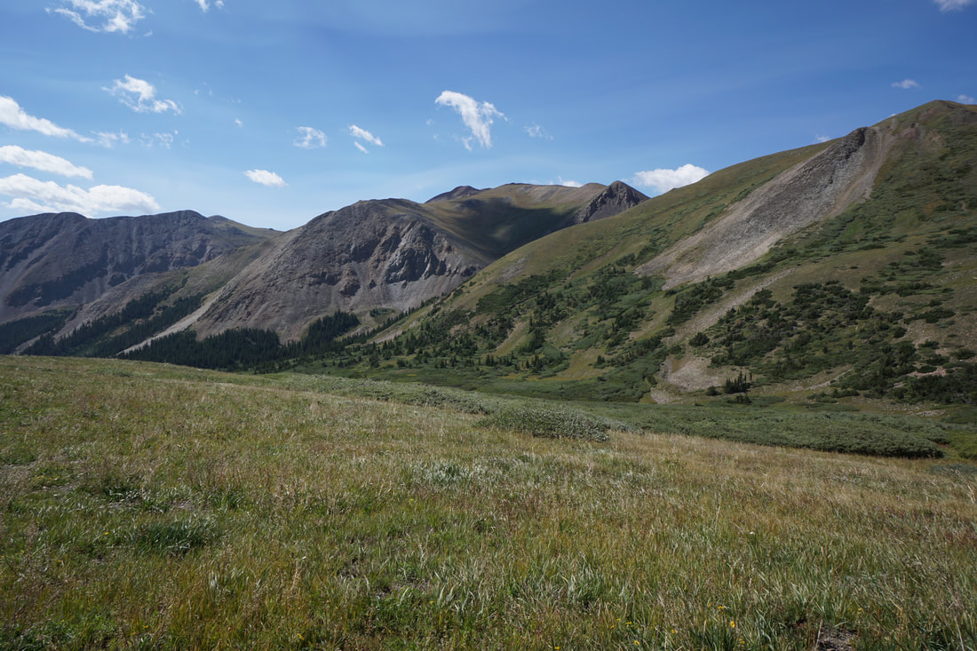
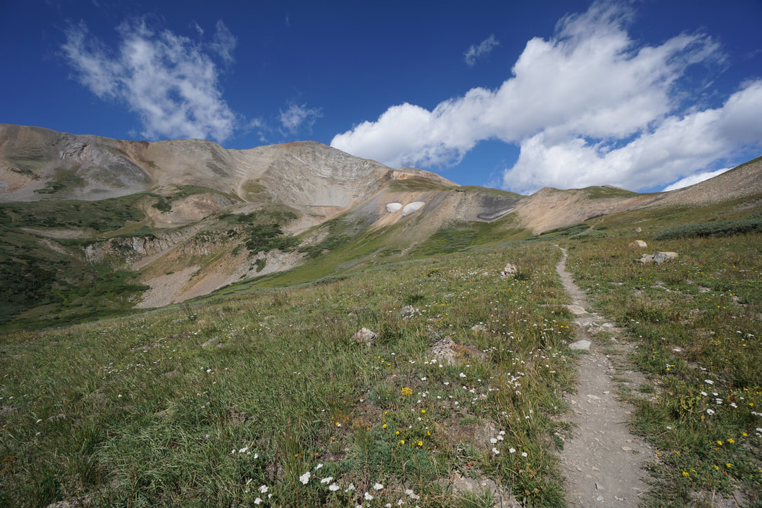
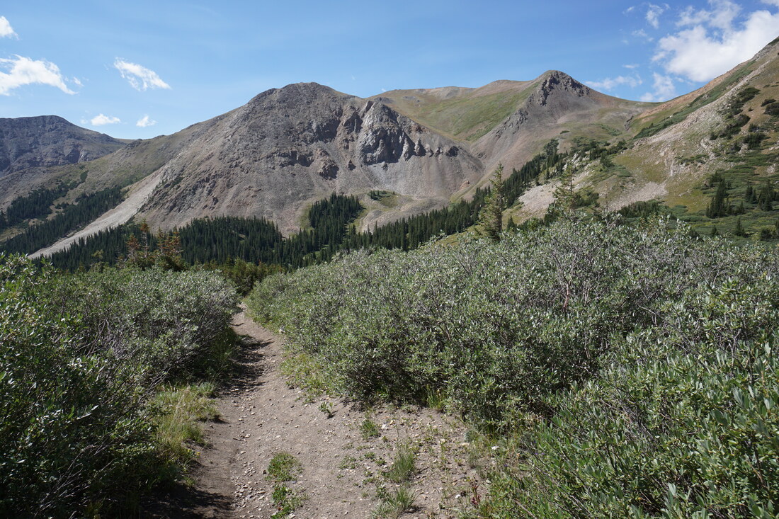
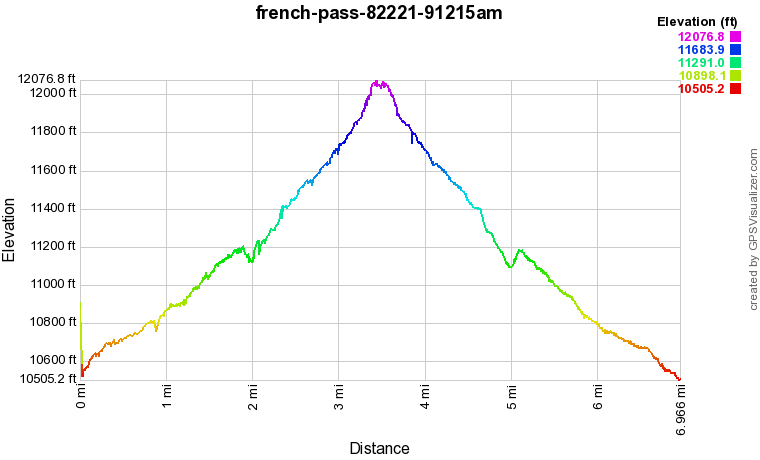
From the trailhead, head into the woods. Almost immediately the surrounding peaks start to pop out from beyond the treeline. The trail gains elevation gently as the terrain shifts from pine forest to alpine meadows. Before you know it you are surrounded by beautiful and colorful mountains sides. Off to the left (west) is Boreas Mountain (13,048 ft) and Black Powder Pass. The massive rounded peak that you'll be hiking towards for most of the trip is Bald Mountain (13,638 ft) and French Pass sits between Bald and the slopes and ridges of Mt. Guyot (13,297 ft). The trail is straight-forward and navigating is easy, just hike until you reach the pass. The trail has a gentle grade for a bit less than 2 miles, then it drops down to French Creek and climbs back up to the pass. There is one steep but short section but other than that the hike is pleasant. That being said, this hike is not short and climbs to over 12,000 feet with plenty of high alpine exposure. Keep an eye on the weather, be prepared, and drink plenty of water along the way. |
|