|
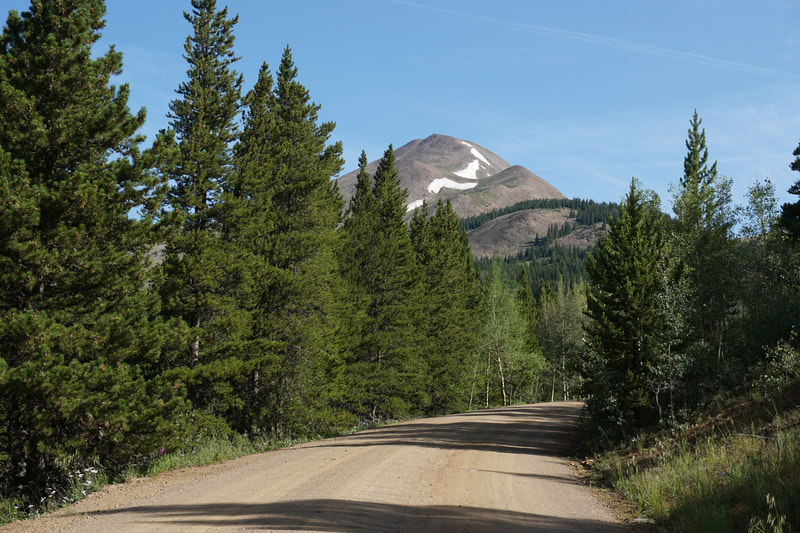
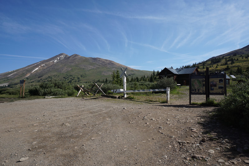
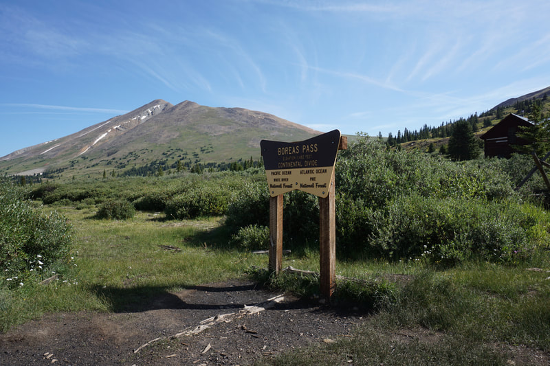
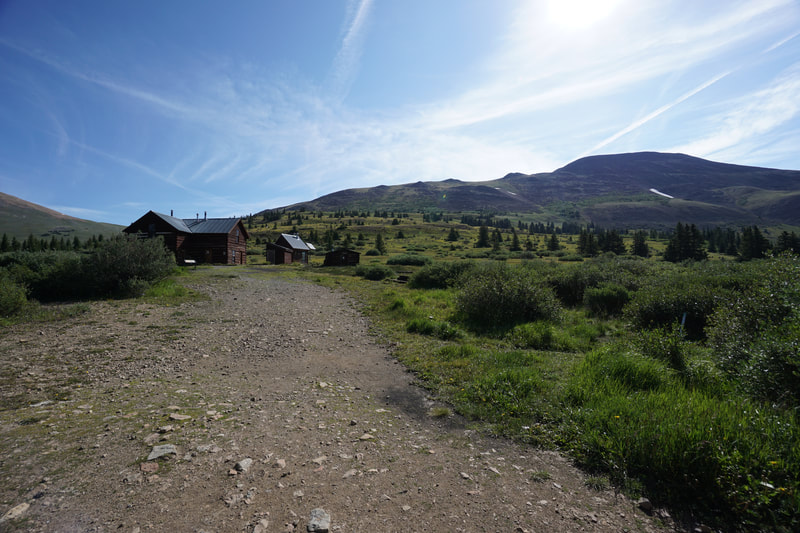
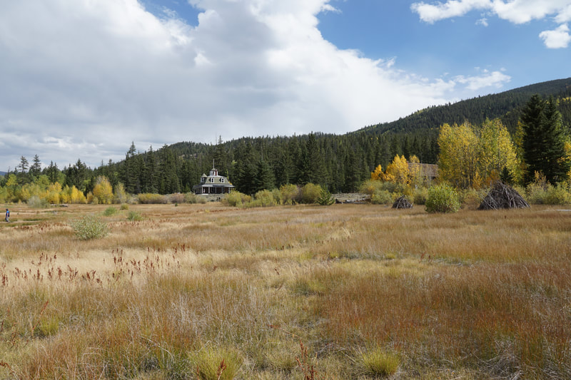
DIRECTIONS: Boreas Pass can be accessed by taking Co Rd 33 (Boreas Pass Road) north from Como, CO or south from Breckenridge, where the road is Co Rd 10. I have not driven the road from Breckenridge. From Como, follow the road for about 10 miles to the summit of Boreas Pass. The road is generally a well maintained dirt road but there are some tricky and rocky sections. It would be very slow going in a sedan. I drove the road in a Subaru Forester and had no problems.
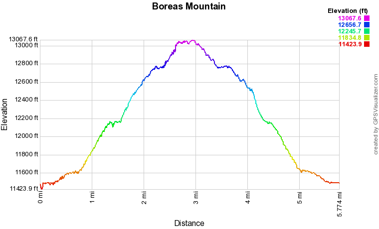
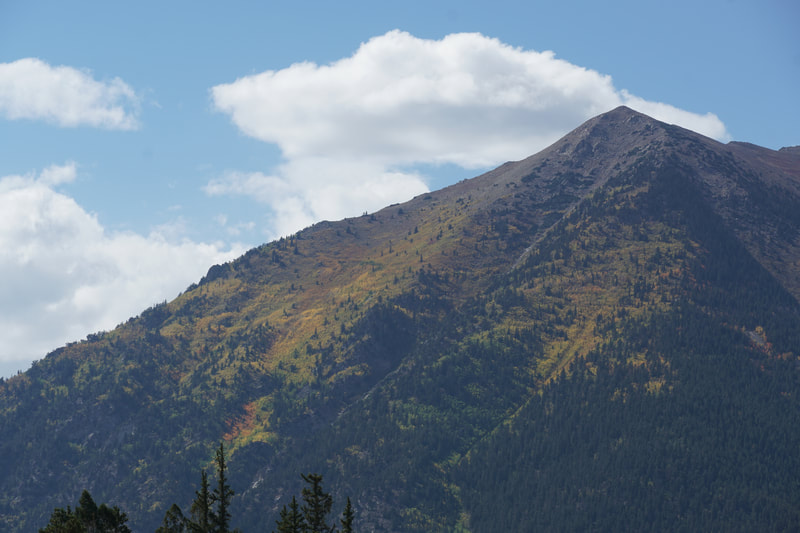
Boreas Mountain is a wonderful 13er to hike with a moderately difficult and extremely fund climb. The hike just barely gets to class 2 terrain, meaning you are off trail but don't need your hands to climb. The hike up Boreas is very accessible, since you can drive up to 11,400 feet and follow a good trail up to Black Powder Pass just above 12,000 ft. The remaining hike is just another 1,000 feet of elevation gain. It gets a bit steep in parts and you are at high altitude so this is not an easy hike. You still need to be cautious, keep your eyes on the weather, and turn back if you are not...feelin' it....
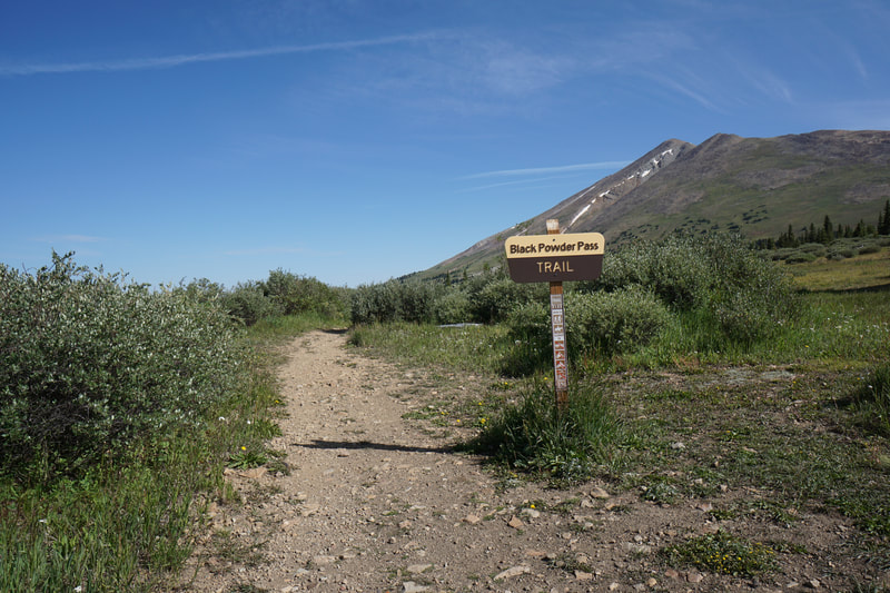
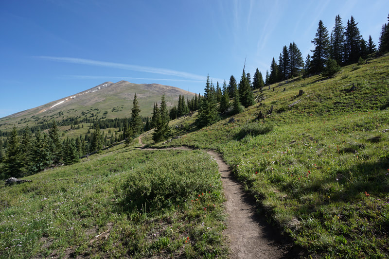
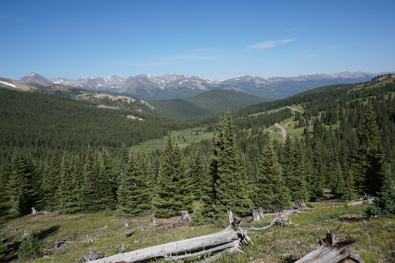
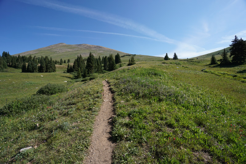
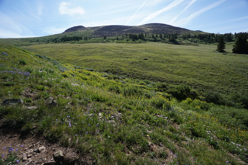
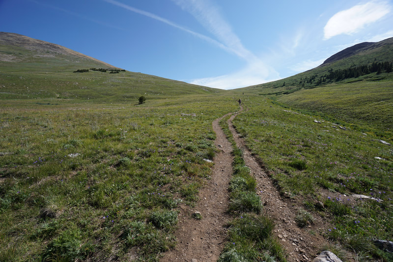
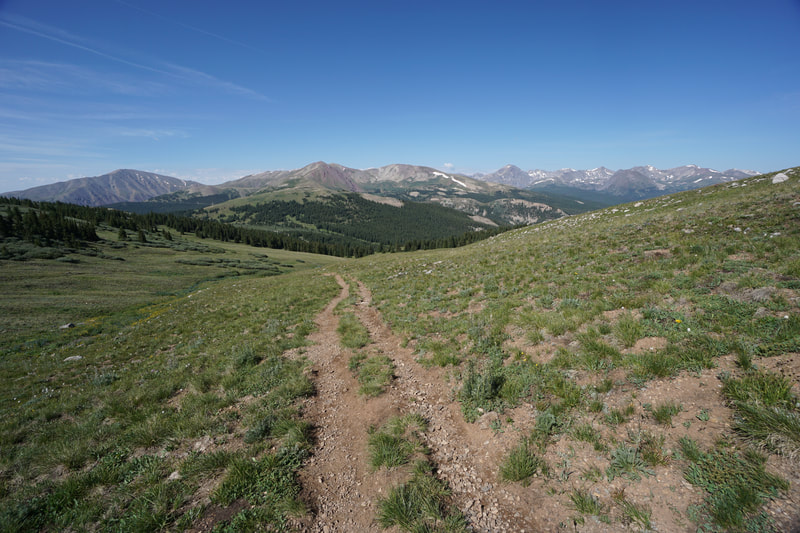
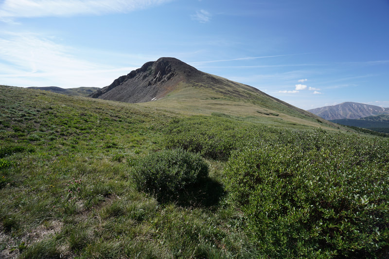
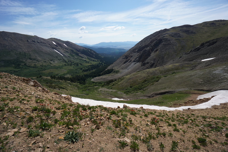
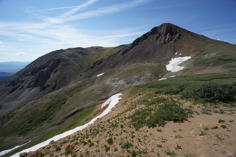
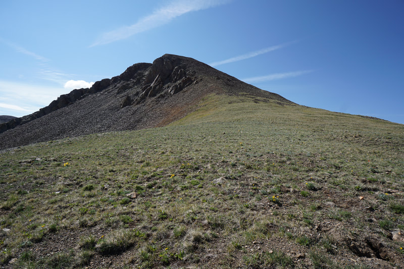
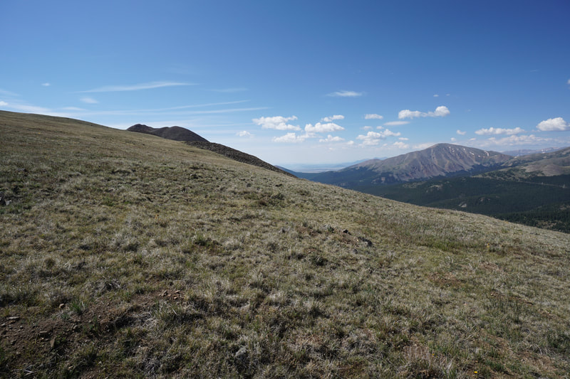
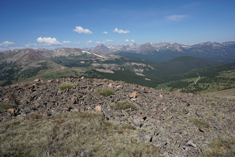
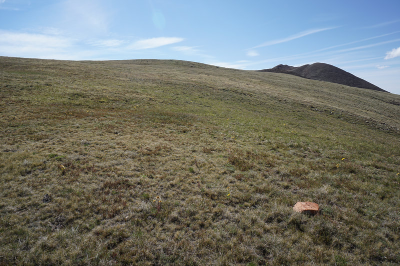
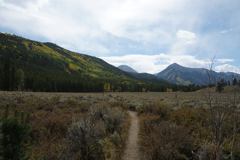
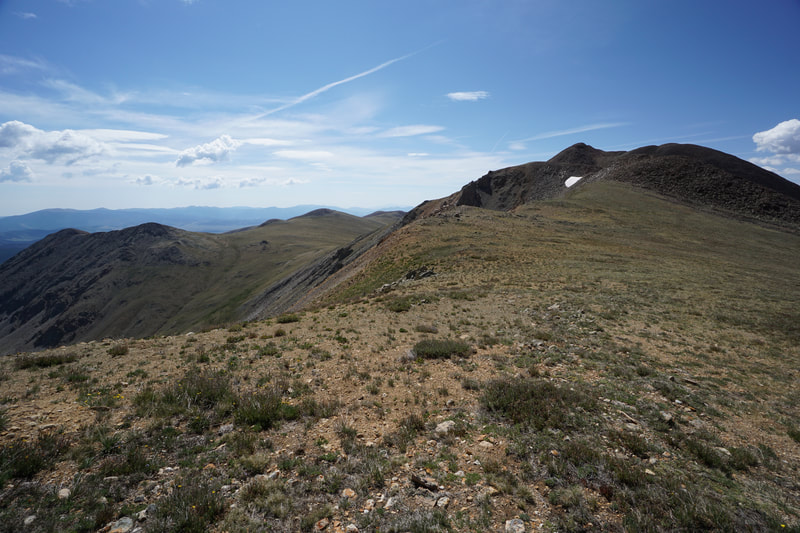
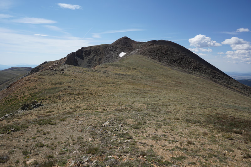
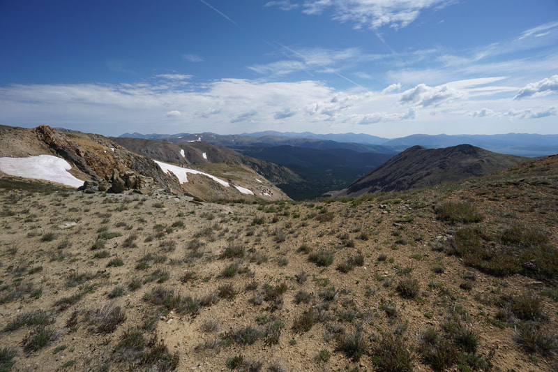
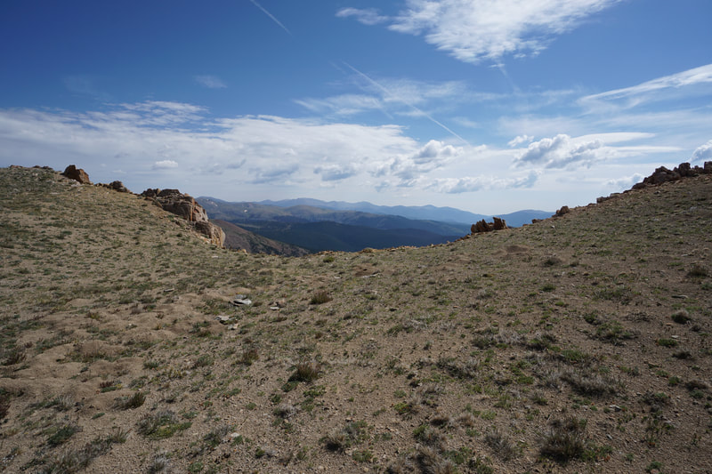
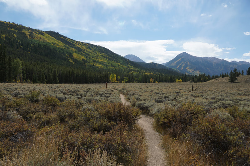
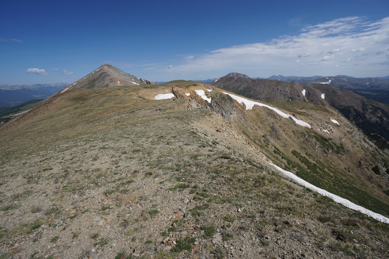
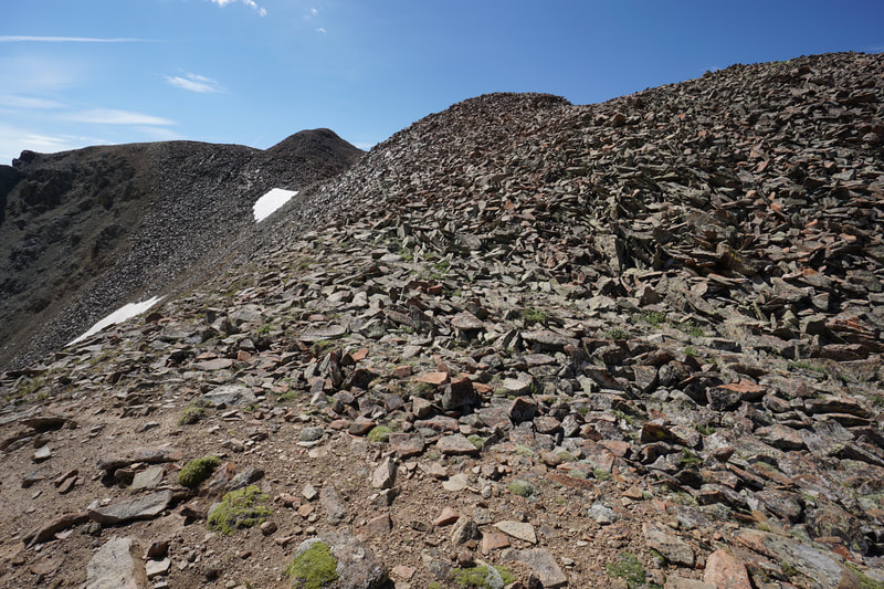
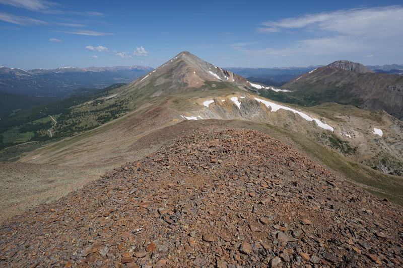
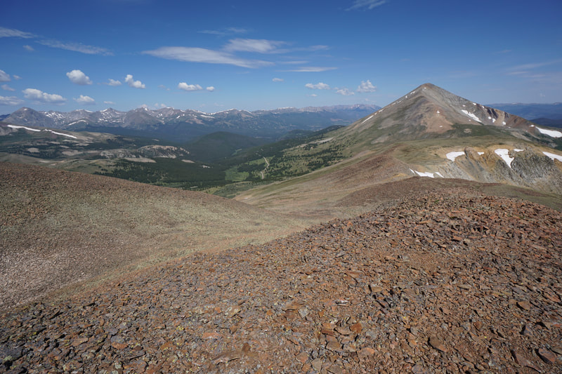
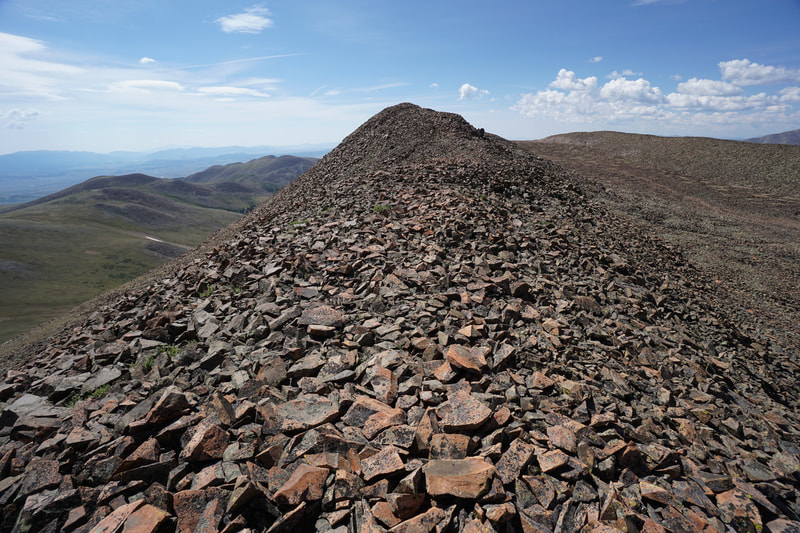
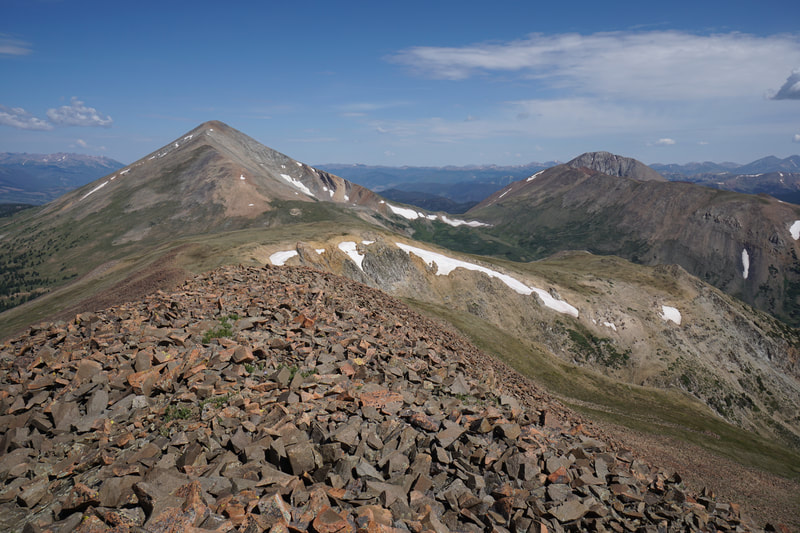
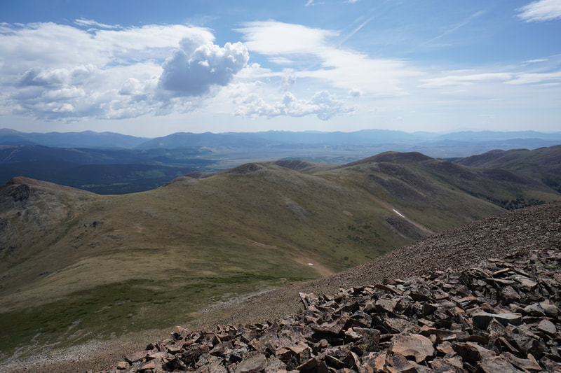
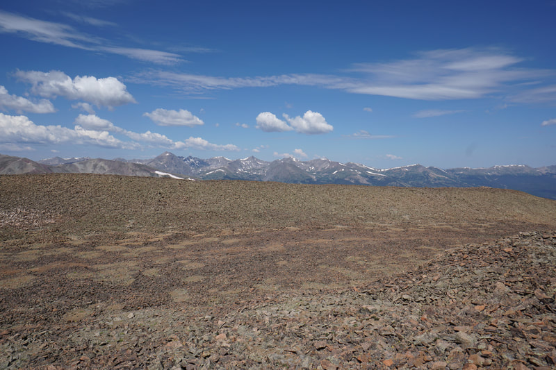
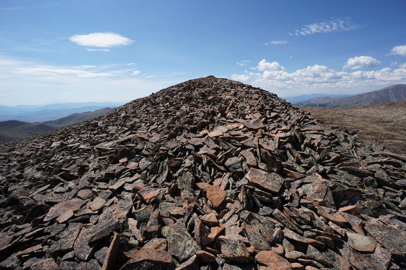
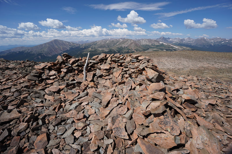
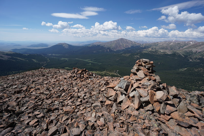
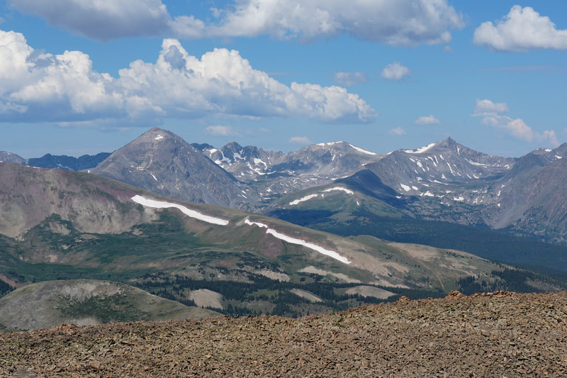
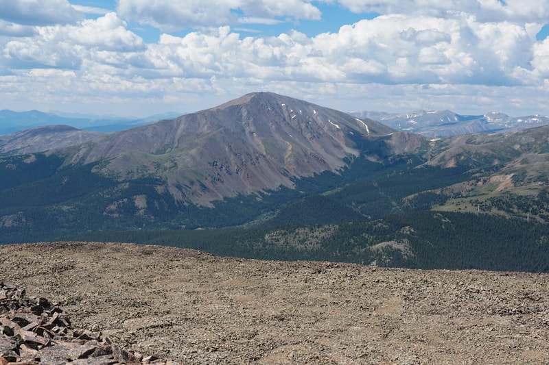
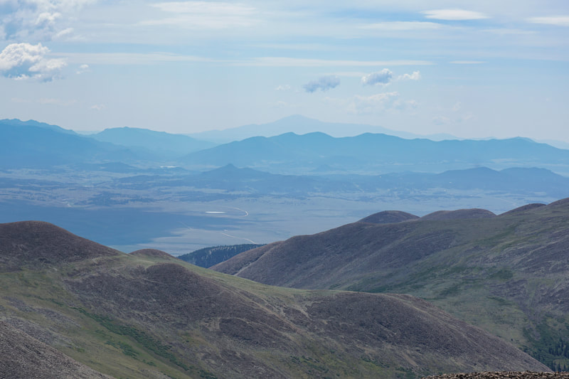
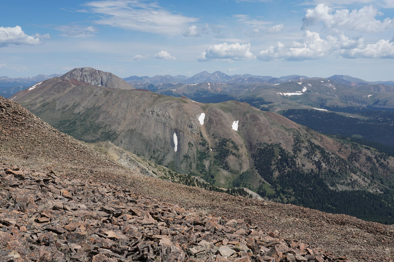
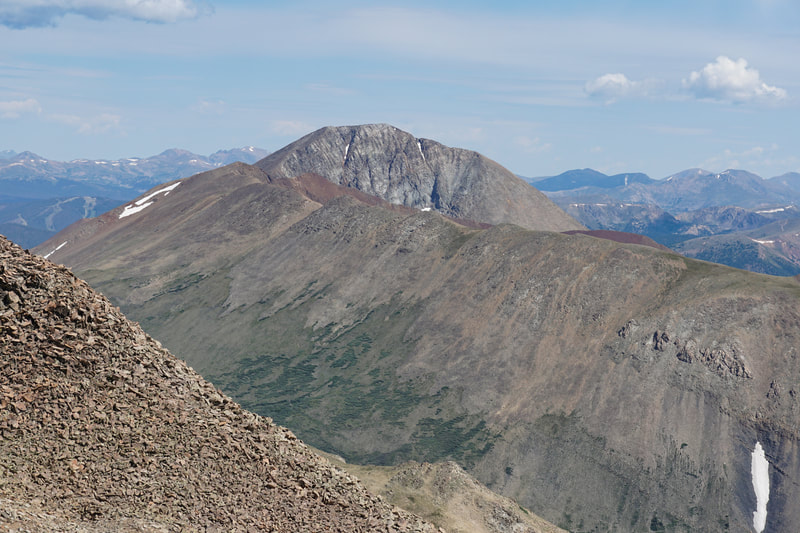
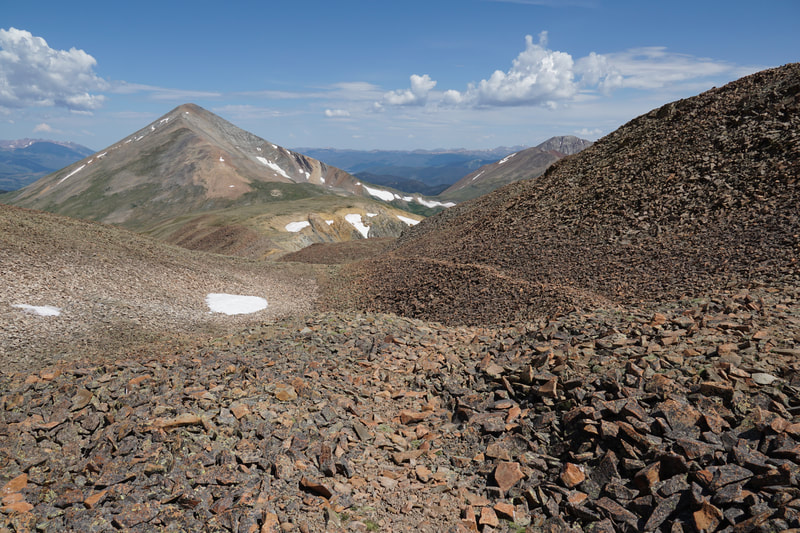
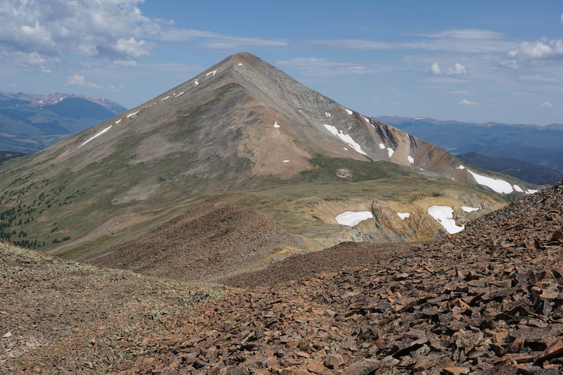
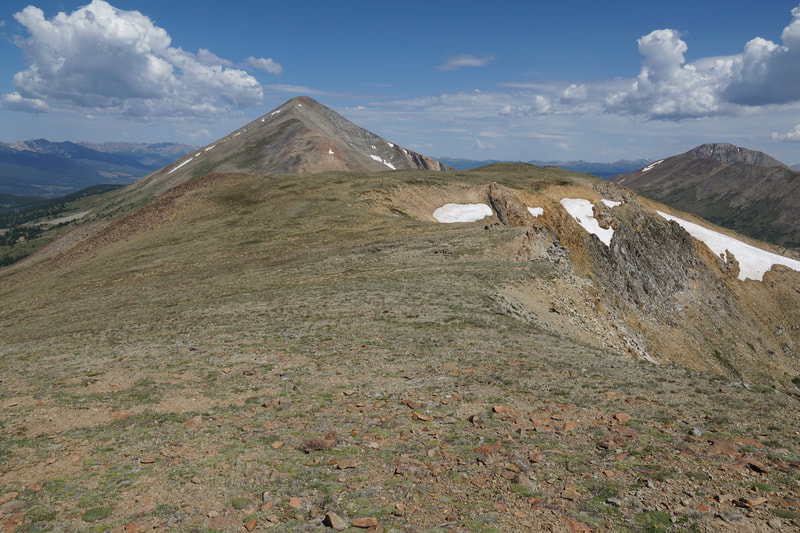
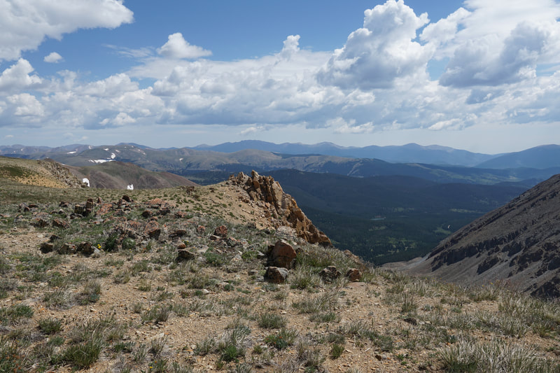
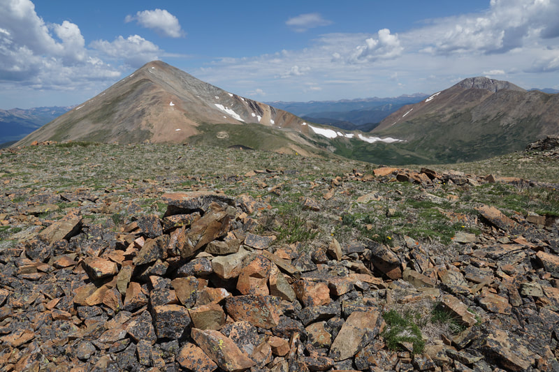
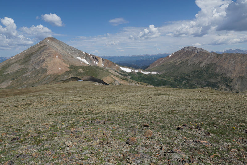
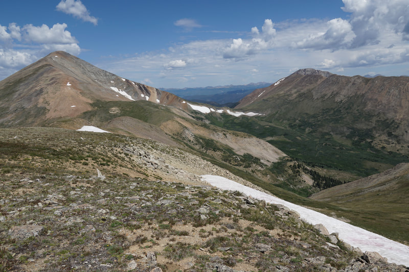
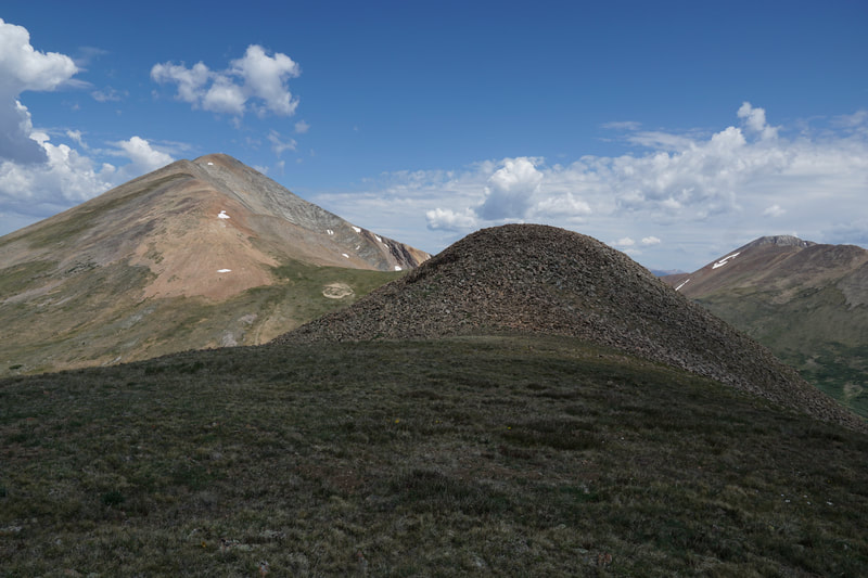
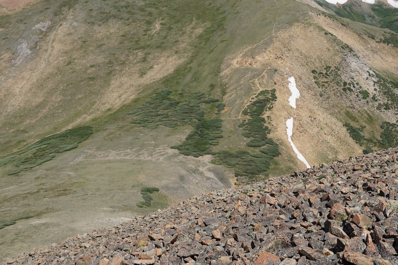
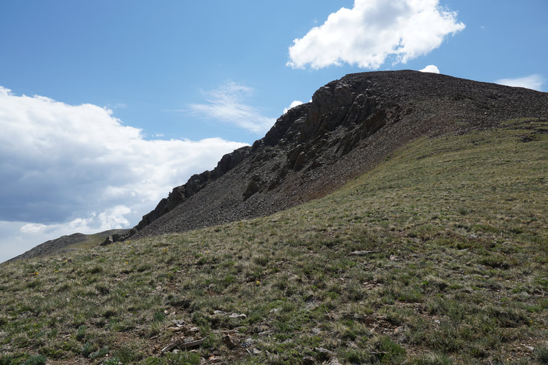
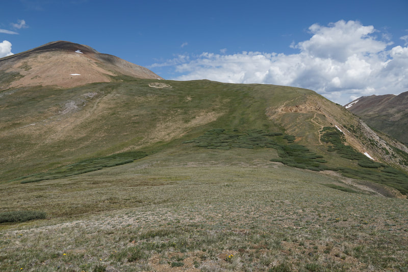
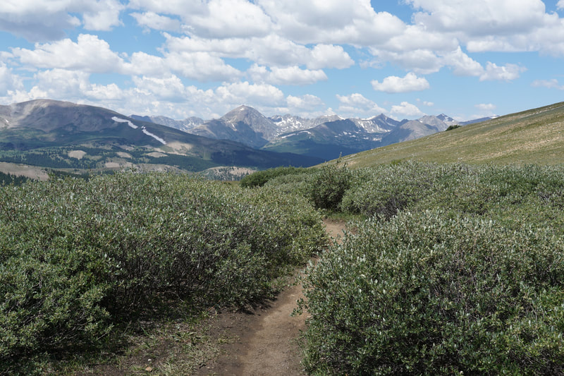
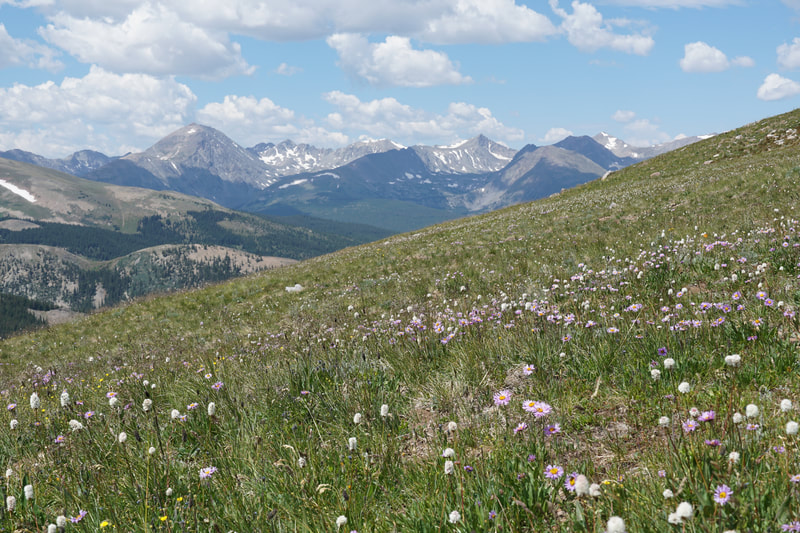
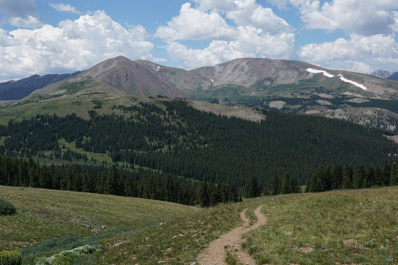
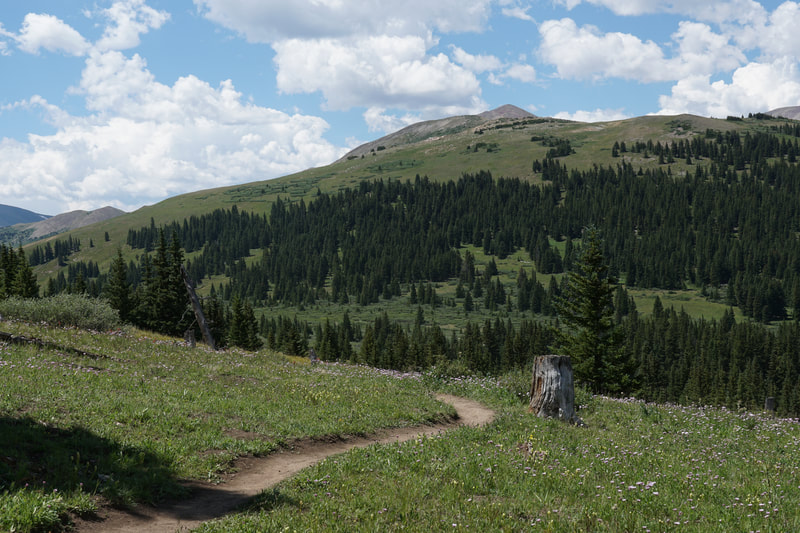
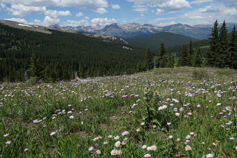
For a detailed description of the route to Black Powder Pass click here. This description will focus mainly on the route from Black Powder Pass to the summit. That being said, the hike up Black Powder Pass is fantastic and a worthy hike in itself. The trail climbs up through high alpine meadows with incredible views of the Tenmile Range and wildflowers galore. The trail is almost a straight shot to Black Powder Pass which sits between Boreas Mountain and Bald Mountain. The views from the pass are great, but they are even better from Boreas Mountain. When you arrive at the pass, your route will become obvious. You want to head due south and curve around to the western, grassy slopes and then gain the ridge. You have two options here. Climb directly up the steep rocky slopes of the false peak that you can clearly see from the pass...or sidestep along the grassy slopes gradually heading south towards the ridge. I went up by a gradual slope and came down following the ridge as long as I could. If you make your own grassy path along the slopes, head for a rocky outcrop, then up to the top of the ridge. If you feel like you are unsure of the route, just cut up to the ridge early, you can't get lost when you are on top of the ridge. Whenever you do pop up to the ridge, you will get a clear view of the remaining route and the rocky summit (and false summit) of Boreas Mountain. Follow the ridge to the start of the rocky area and you will find faint path through the rocks. As will become evident soon enough you have another choice to make. You will soon see a faint redish trail heading up the gully. This trail leads directly to the summit. Alternatively, you can get to the summit by staying on the rocky ridge and following it to the false summit. I suggest hiking along the ridge as the views east to Bald Mountain and Mt. Guyot are outstanding. Follow the ridge until the true summit comes into view. Drop down to the gully and hike along the other-worldly rocky section following the trail to the summit. There are cairns and windbreaks at the summit. The views from the summit are nothing short of spectacular. The Tenmile Range, the Gore Range, the Front Range are all on display. However, the most impressive views are the up close look at the twin peaks of Bald Mountain and Mount Guyot...very impressive. On your return, you can descend the slopes back to Black Powder Pass, the way you came, or you can follow the ridge. The ridge leads to a series of easy sub-summits until you reach the rocky peak just south of Black Powder Pass. I found the climb down directly to the pass to be too steep for my taste so I descended off the western slope and worked down to the pass with no trouble. Once back at the pass, it's an easy hike back to the trailhead with some amazing westerly views to keep you company. |
- HOME
- ABOUT
-
HIKES BY REGION
-
NATIONAL PARK HIKES
- BENT'S OLD FORT NATIONAL HISTORIC SITE
- BLACK CANYON OF THE GUNNISON NATIONAL PARK
- COLORADO NATIONAL MONUMENT
- CURECANTI NATIONAL RECREATION AREA
- DINOSAUR NATIONAL MONUMENT
- FLORISSANT FOSSIL BEDS NATIONAL MONUMENT
- MESA VERDE NATIONAL PARK
- ROCKY MOUNTAIN NATIONAL PARK
- GREAT SAND DUNES NATIONAL PARK
- HOVENWEEP NATIONAL MONUMENT
- SAND CREEK MASSACRE NATIONAL HISTORIC SITE
- YUCCA HOUSE NATIONAL MONUMENT
- HIKES BY CATEGORY
- NEWS
- WEBCAMS
- $UPPORT GHC
- INTERACTIVE MAP
Boreas Mountain 13,082 ft
White River & Pike National Forests
Date Hiked: August 2, 2020
Distance: 5.8 mi (RT)
Elevation Gain: 1,900 ft
Elevation Min/Max: 11,423 to 13,082 ft
Trailhead Lat/Long: 39.41024, -105.96834
Managing Agency: U.S. Forest Service
Fee: None

