|
|
|
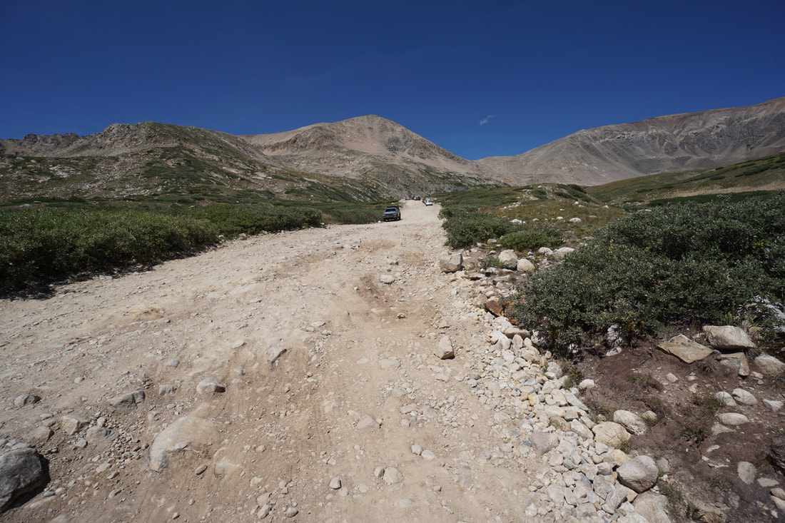
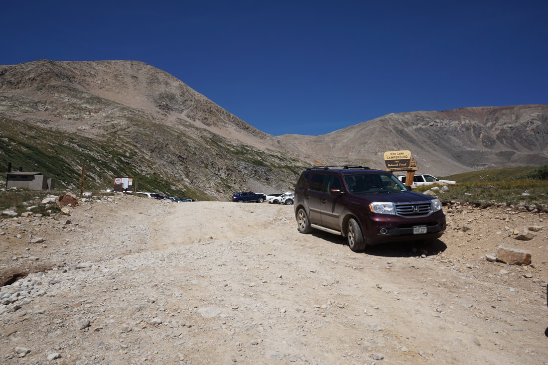
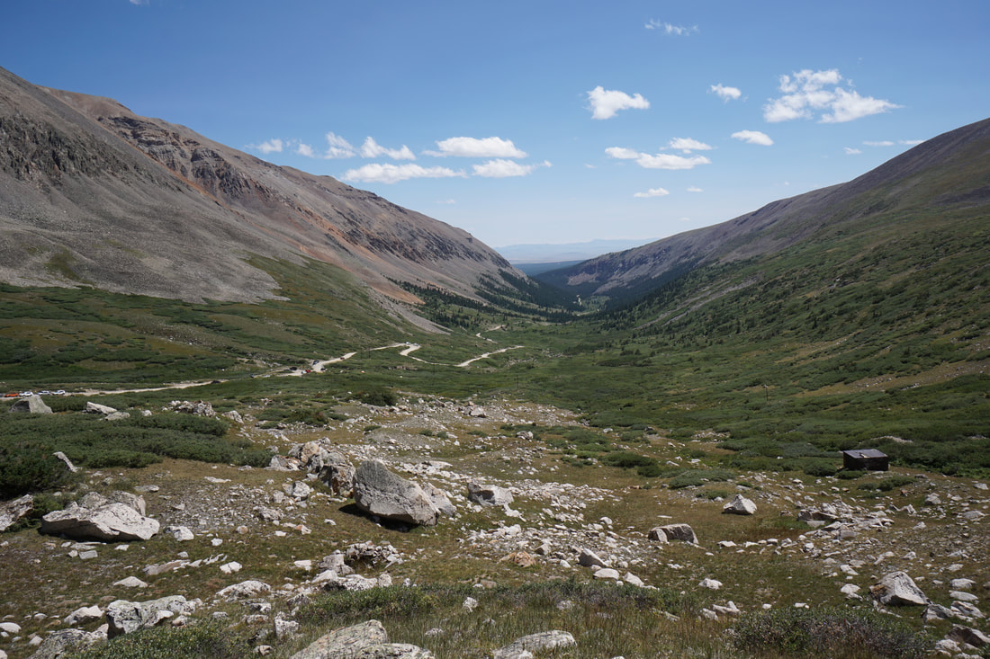
Directions: From Alma, CO head west on County Road 8, there is a small sign for Kite Lake. Soon you will enter the National Forest boundary and there will be more signs for Kite Lake. The road starts off rough but passable by most vehicles. As you get closer to Kite Lake, past the turn off for Windy Ridge, the road get rougher and rougher. 4WD or AWD high clearance vehicle is required. After you pass the pay station, there are numerous places to park on the side of the road, and hike the rest of the way to the Kite Lake Trailhead. Keep in mind that the parking at the trailhead fills up quickly so don't kill your vehicle trying to get there.
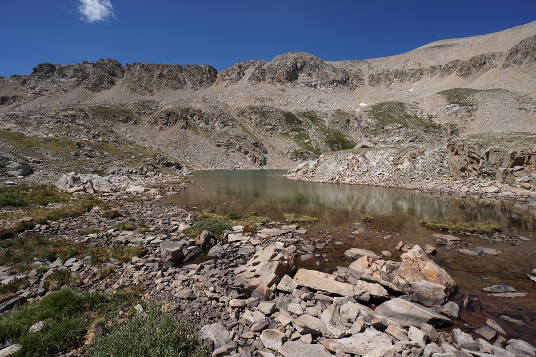
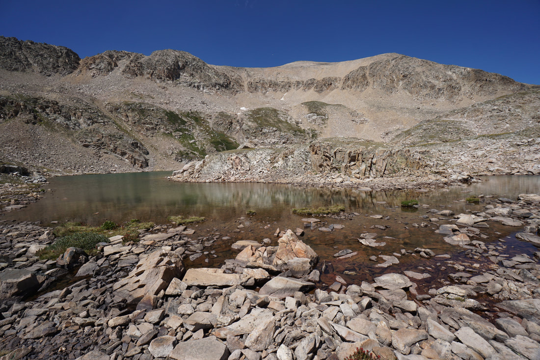
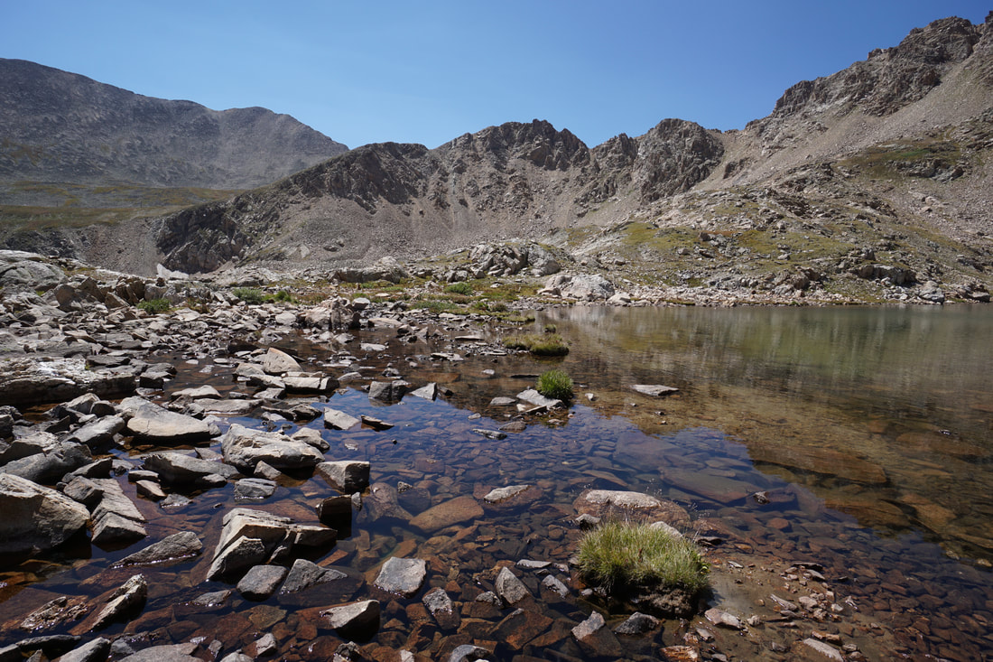
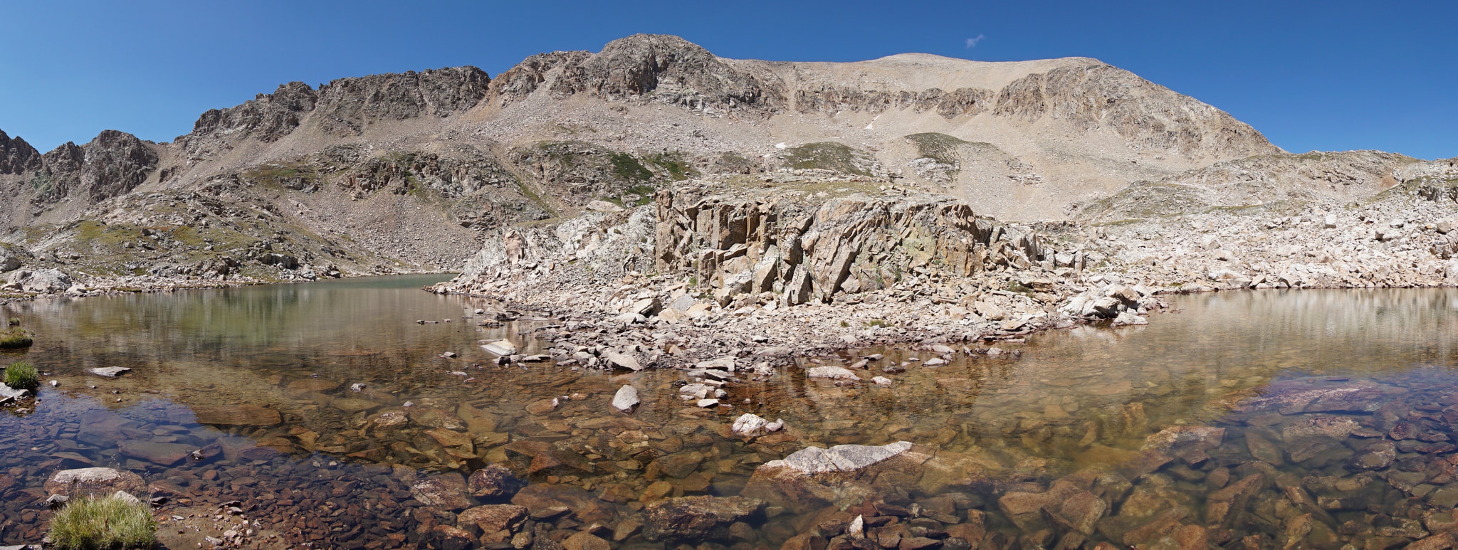
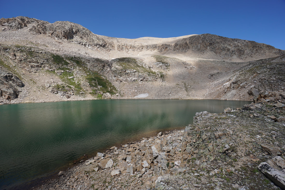
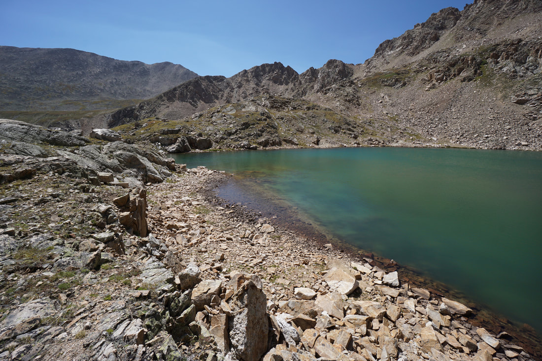
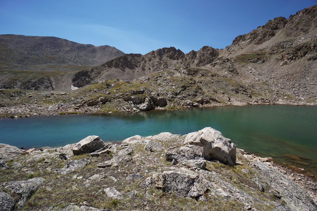
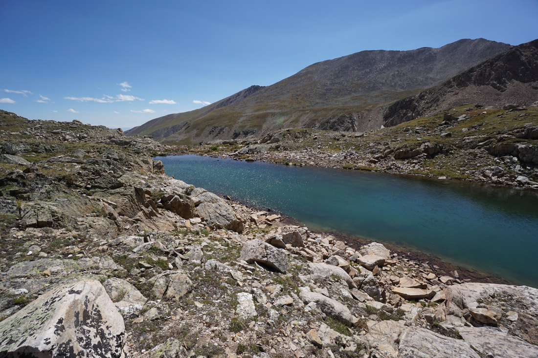
Lake Emma is a short but sweet hike to a beautiful high alpine lake that sits at the base of some of Colorado's most famous 14ers. Most people who visit the Kite Lake Trailhead are there to tackle the DeCaLiBron...see here for that must-do hike... Many of this hikers are completely unaware that one of the prettiest lakes in the state is just a short hike away.
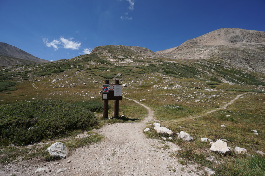
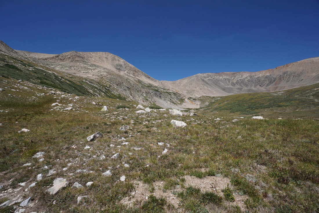
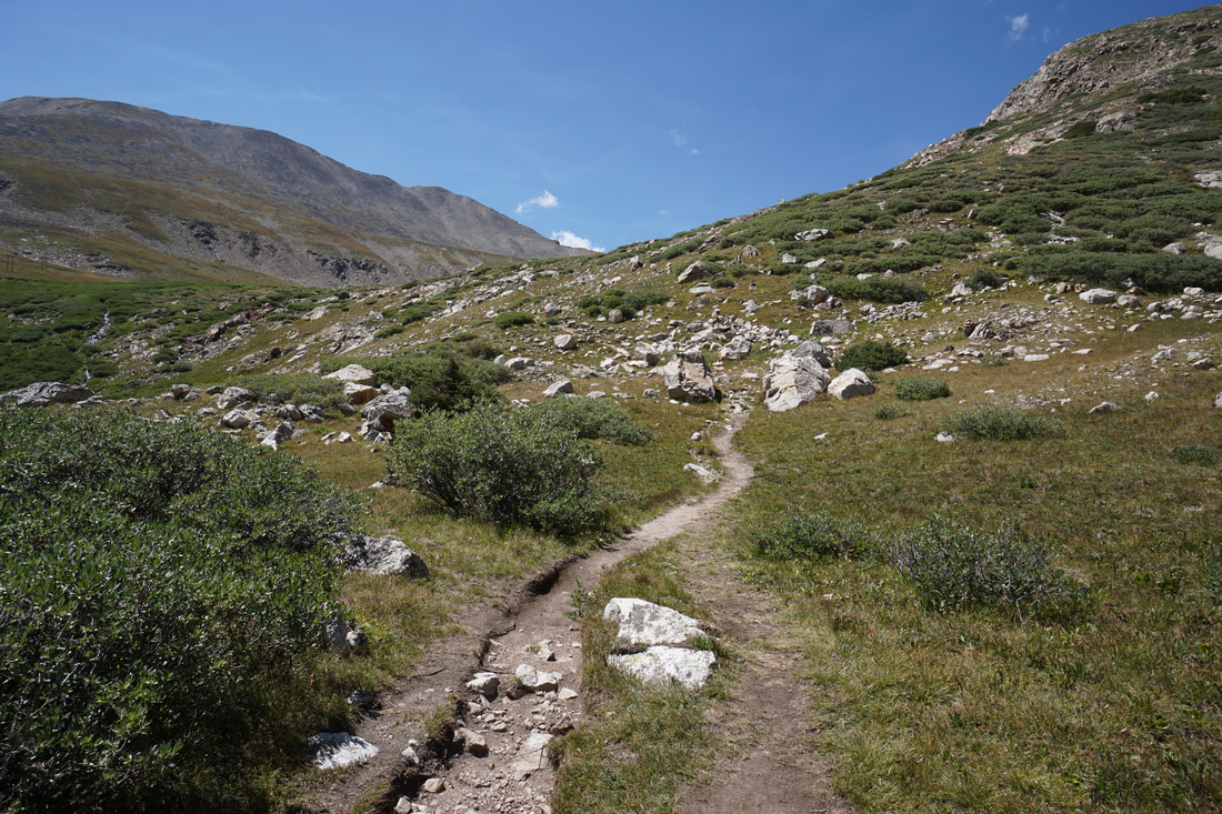
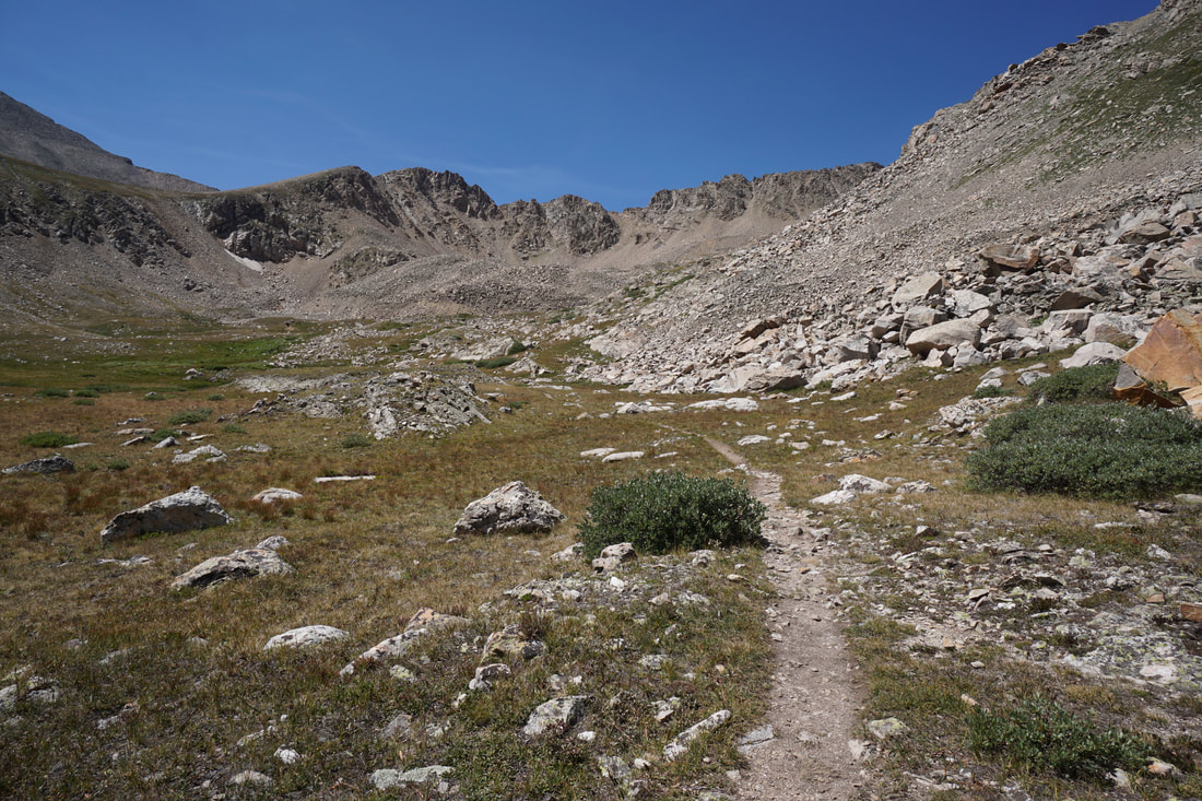
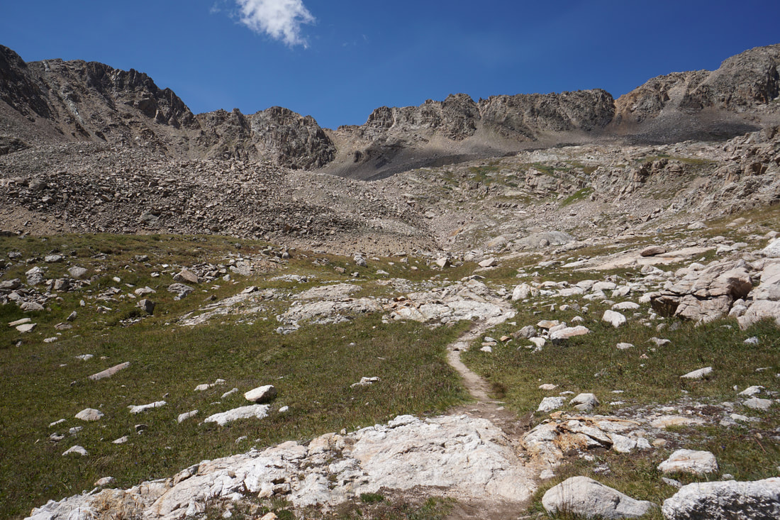
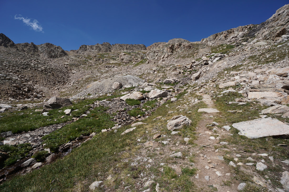
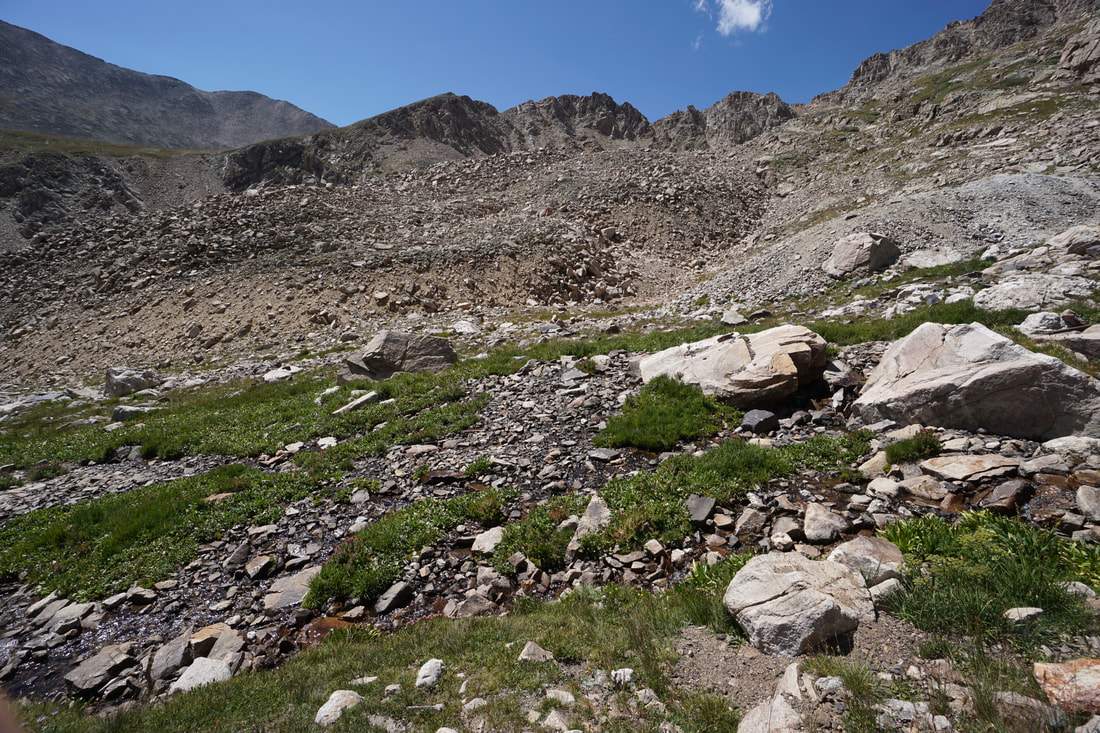
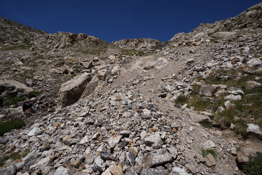
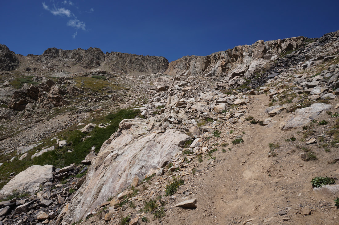
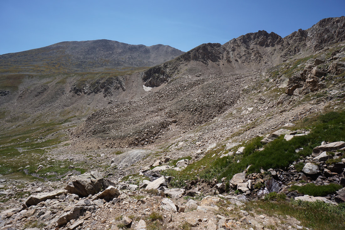
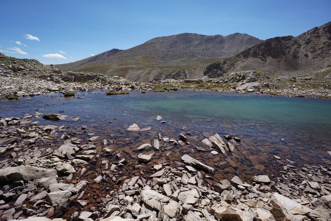
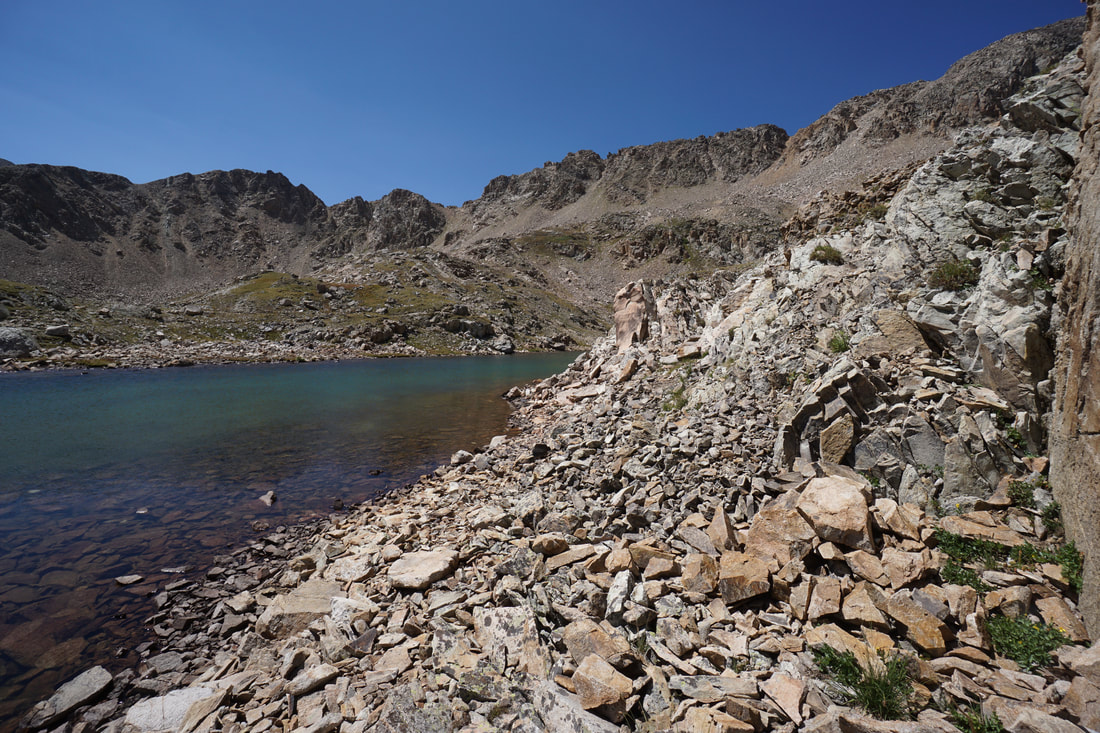
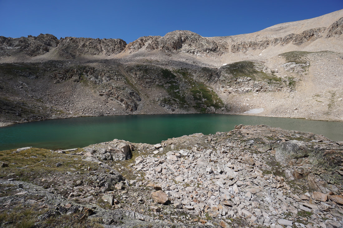
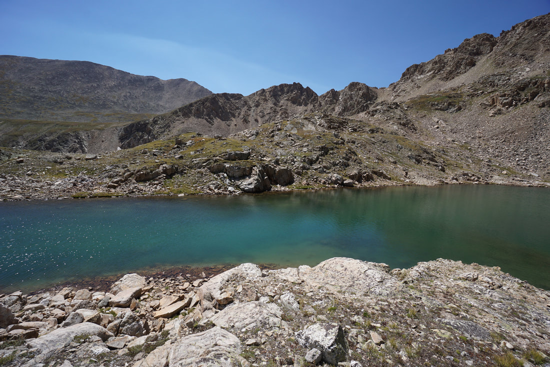
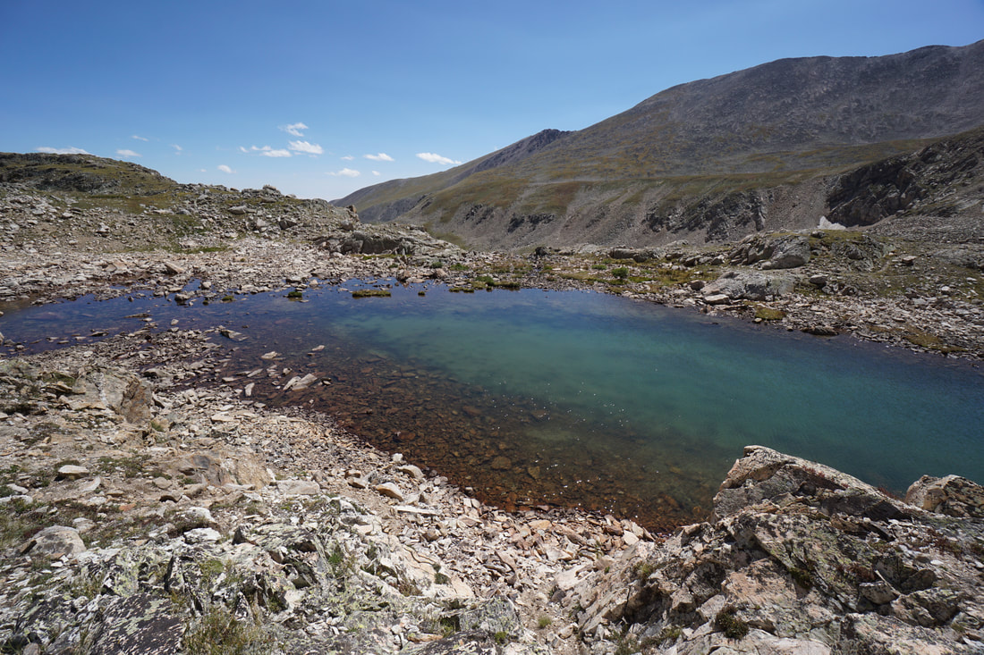
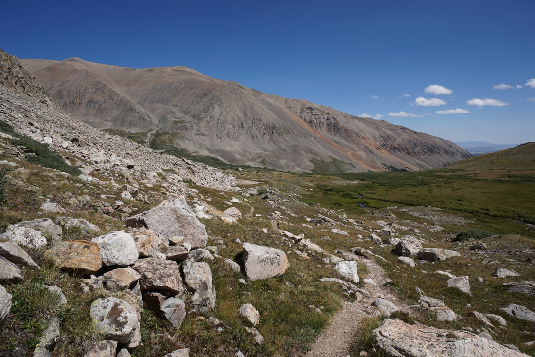
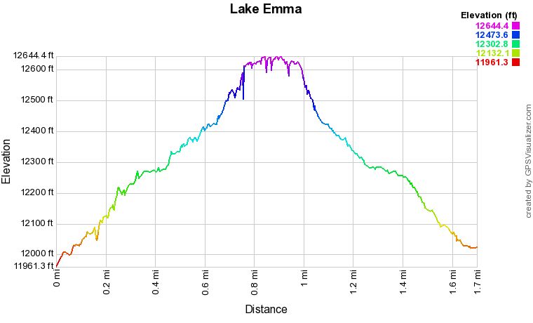
The hike is short, but you are starting at almost 12,000 feet and climbing about 650 feet in elevation over just 8/10ths of a mile, so the hiking is not easy. However, for your effort you are treated to near constant views of the surrounding 14,000 and 13,000 foot peaks. Starting from the Kite Lake parking area, behind the outhouse, there are a few campsites with a well established trail leading up behind Mt. Democrat. Follow this trail as it winds up across rock gardens to a small stream. In the later season, the stream is just a trickle and the boulders underneath are blackened by the minerals. In the early season this is most likely a waterfall so use extra caution. When the trail reaches the stream, things get a bit steep. Scramble up the trail staying to the left of the stream. Cross the stream near the top, should be obvious, and climb another few feet to Emma Lake. The lake has a rocky peninsula and that should be your destination for the best views. When the water levels are low you can rock hop to the peninsula, otherwise just walk along the rocky shore. Surrounding the lake is a jagged ridge that leads up to Mt. Democrat and Mt. Buckskin (13,796 ft) to the south. The ridge makes for an epic backdrop to the lake. This is a quick hike and the perfect warm up if you are staying at campground and want to acclimate before tackling the 14ers. It's also a great hike on its own and a great way to spend a few hours in the Mosquito Range. |
|