|
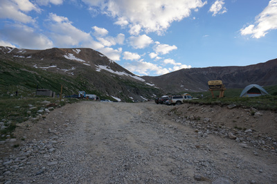
Directions: From Alma, CO head west on County Road 8, there is a small sign for Kite Lake. Soon you will enter the National Forest boundary and there will be more signs for Kite Lake. The road starts off rough but passable by most vehicles. As you get closer to Kite Lake, past the turn off for Windy Ridge, the road get rougher and rougher. 4WD or AWD high clearance vehicle is required. After you pass the pay station, there are numerous places to park on the side of the road, and hike the rest of the way to the Kite Lake Trailhead. Keep in mind that the parking at the trailhead fills up quickly so don't kill your vehicle trying to get there.
For the best hike descriptions, maps, and data on this and other Colorado 14ers, please visit www.14ers.com.
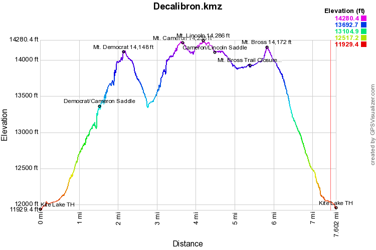
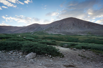
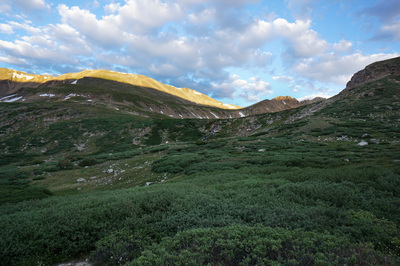
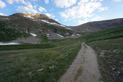
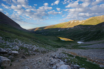
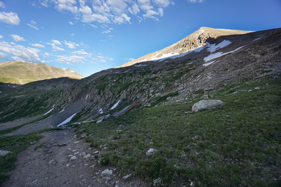
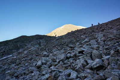
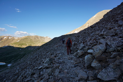
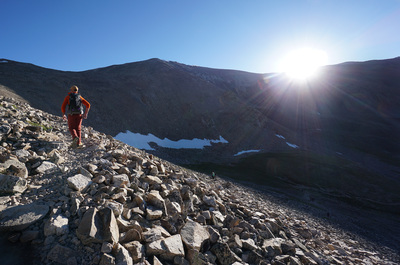
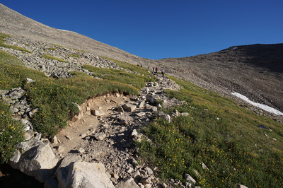
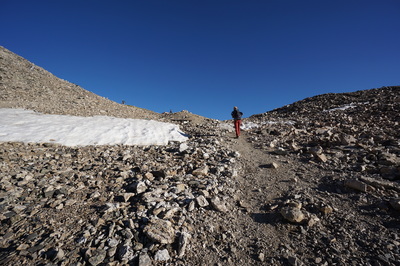
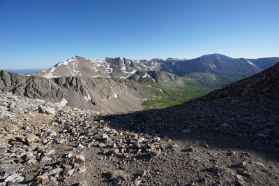
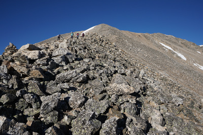
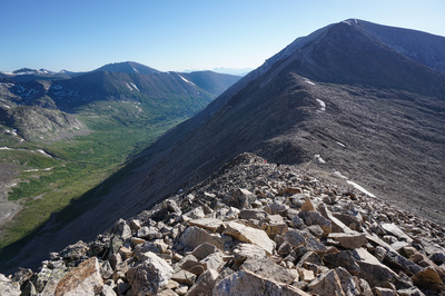
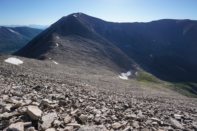
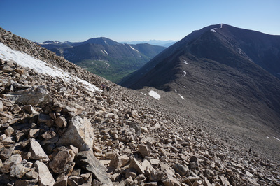
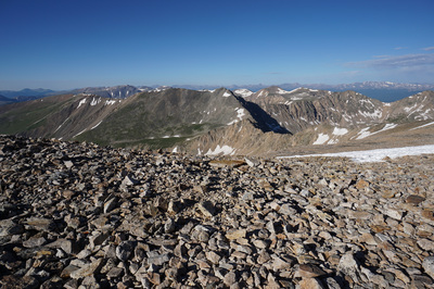
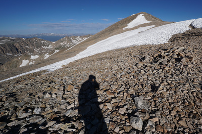
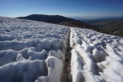
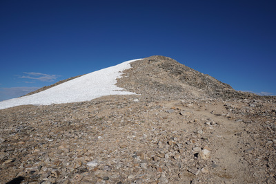
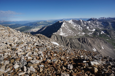
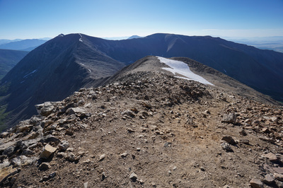
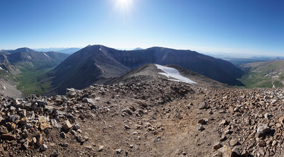
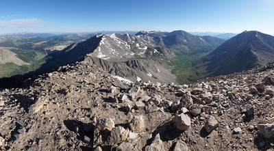
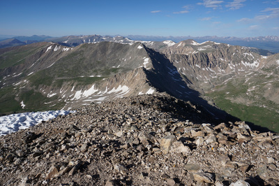
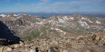
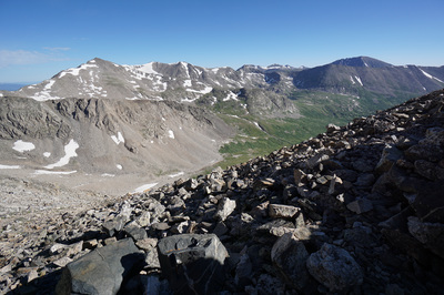
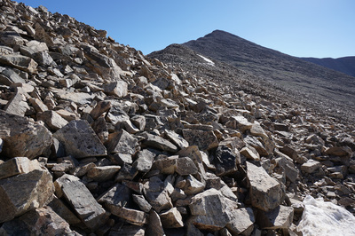
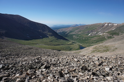
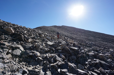
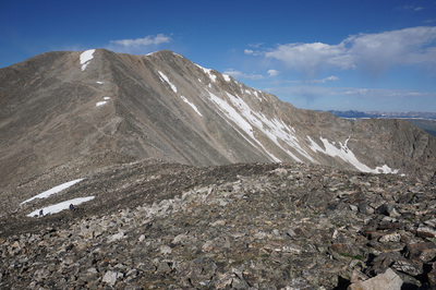
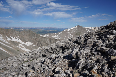
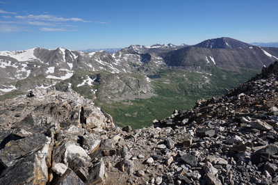
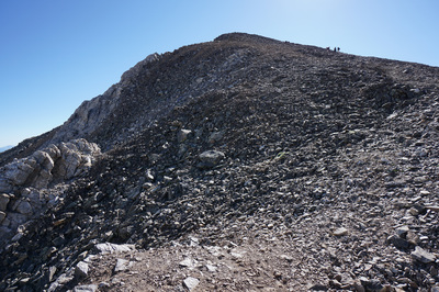
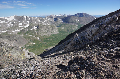
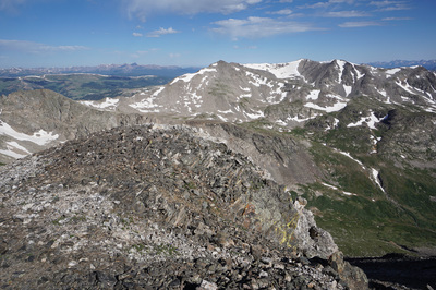
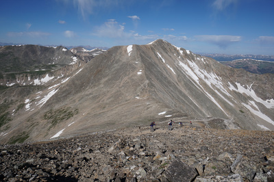
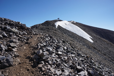
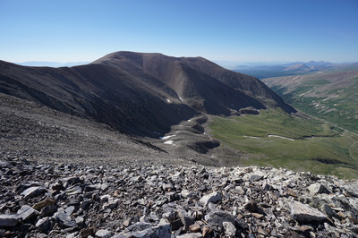
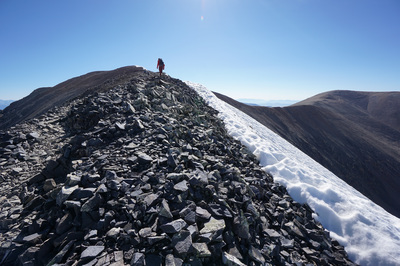
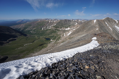
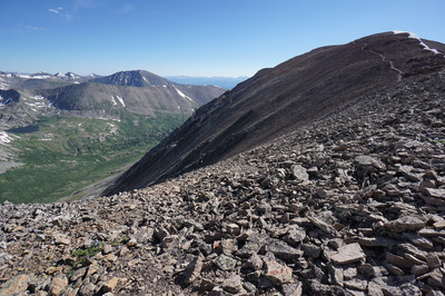
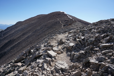
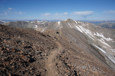
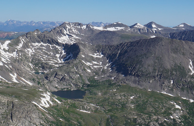
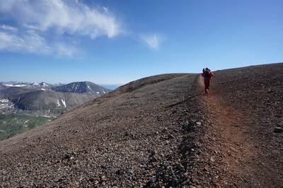
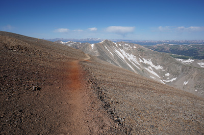
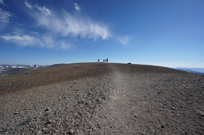
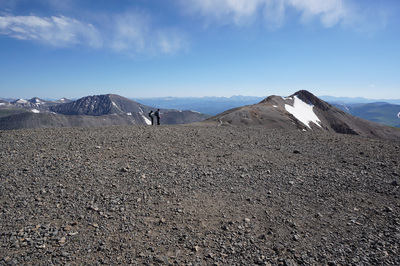
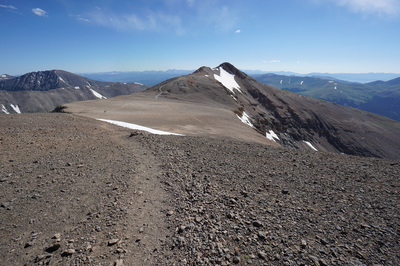
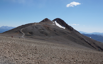
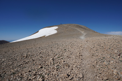
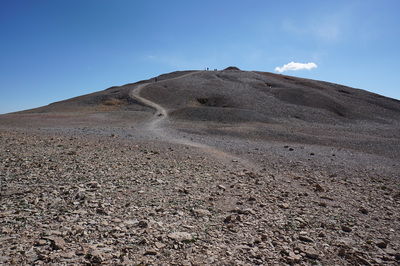
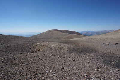
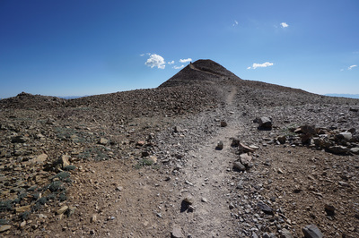
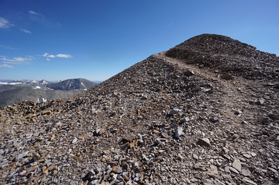
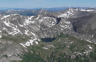
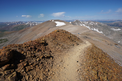
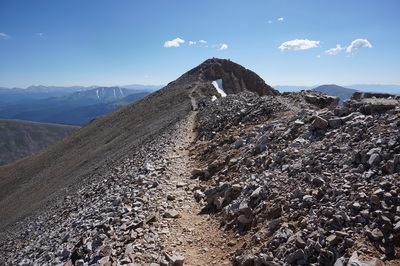
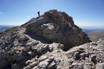
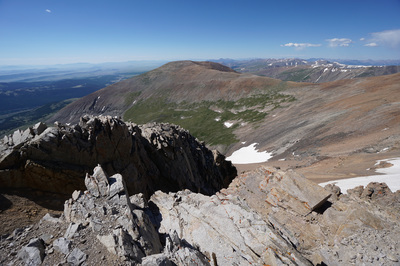
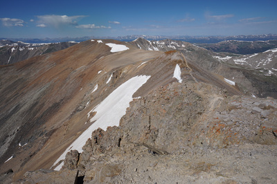
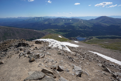
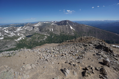
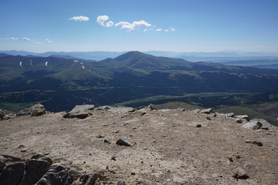
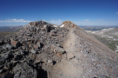
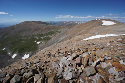
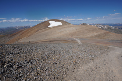
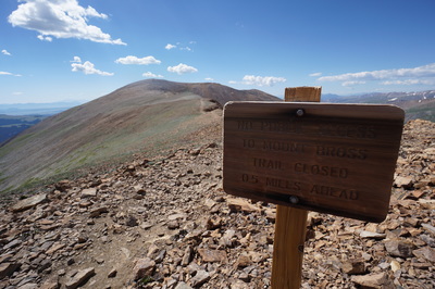
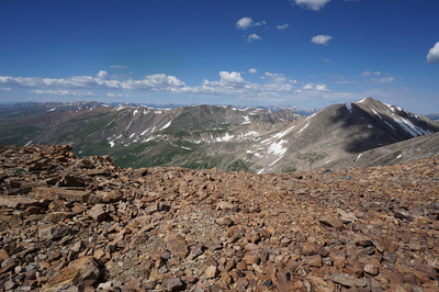
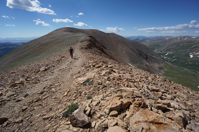
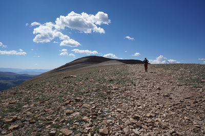
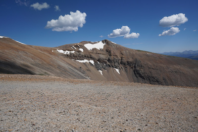
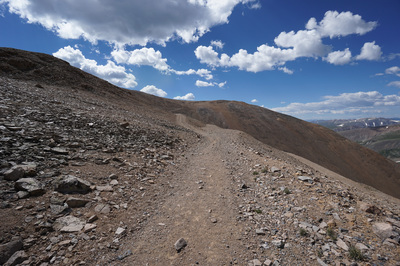
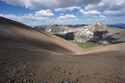
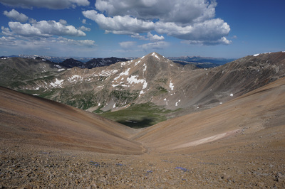
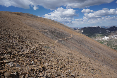
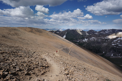
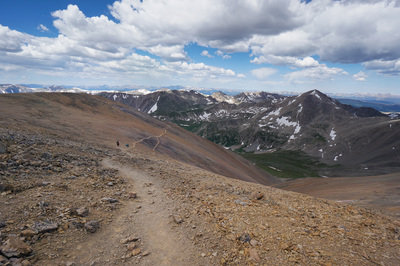
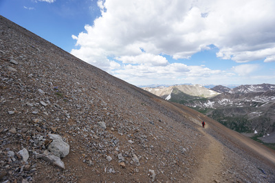
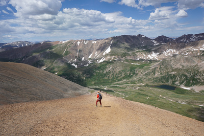
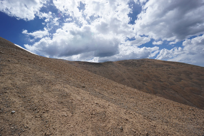
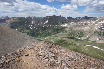
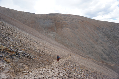
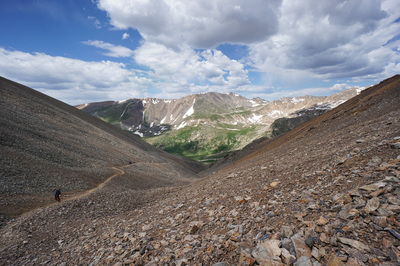
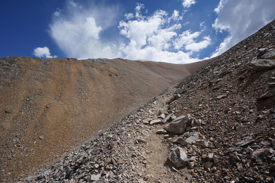
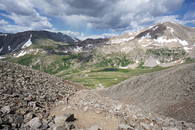
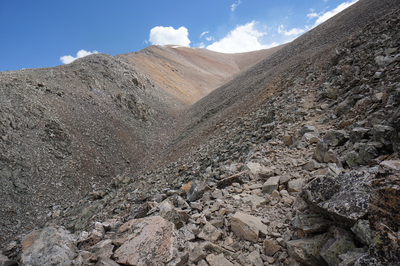
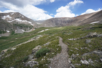
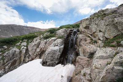
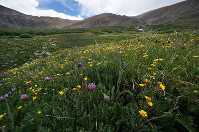
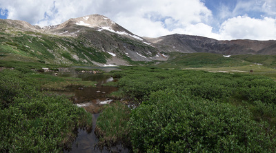
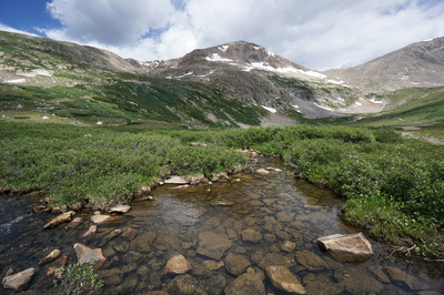
The Decalibron is so named because it makes a marathon loop out of four 14ers: Mt. Democrat; Mt. Cameron; Mt. Lincoln; and Mt. Bross). The hike is incredible and a must do for all Colorado hikers. Aside from the elevation (most of the hike is above 13,500ft) the hike itself is not too complicated and has no technical aspects to it. That being said it is not easy and should not be underestimated. It is scenic, fun, and challenging, everything a Colorado mountain adventure should be. From the Kite Lake Campground and trailhead, follow the obvious trail as it enters the basin and starts climbing up the southern slopes of Mt. Democrat and Mt. Cameron. There is a steep section at the start that passes by some mining ruins but after this spot the trail switchbacks gradually all the way to the Democrat/Cameron Saddle. The first really incredible views are from the saddle as it looks over the basin north of Democrat. Turn left (west) at the saddle to start the rocky climb up Democrat. The route is obvious and you just need to pick your way up. After some effort you’ll reach a false summit which is really a large flat bench below the final push up to the summit. This section gives you an opportunity to catch your breath which may be further taken away by the increasingly amazing views in all directions. Cross the bench and give one last effort to gain the summit of Democrat. On the summit the great views you’ve seen so far reach their apex as you struggle to take it all in. The list of 14ers that you can spot is too long to detail but you’ll see all the mountain ranges that surround the centrally located Mosquito Range, be sure to look to the northwest for a great view of Mt. of the Holy Cross’s famous couloir. Head back down the same route to the saddle and take a quick rest. Don’t worry, the route up Cameron is not as difficult as it looked from Mt. Democrat. The hike up to Cameron starts out moderately but gets steeper as you go. The majority of the route stays to the south of the ridgeline, but once you reach the ridge, the views to the north take center stage. These views are amazing, you are looking down on Wheeler Lake Basin and across to Quandary with its class 3 west ridge in full view. In the background the jagged sawtooths of the Gore Range will get the saliva flowing while the Front Range makes up the eastern skyline. Continue uphill on a steep section of rocky trail until you duck behind the ridge, this time on the northern face. From here the trail level’s out again and becomes incredibly fun. You climb again to the top of the ridge for great views of Mt. Bross across the basin. Follow the ridge until the ridge becomes a flat, wide, rolling hillside. When you reach the top and approach the flat summit of Cameron, the terrain feels like another world. The summit of Cameron itself is just a wind break on a wide open surface but you’ll soon see the enticing summit of Lincoln just to the east. Head downhill to the Lincoln/Cameron Saddle where the Martian environment will become overwhelming. Head east towards the cinder cone shaped summit of Lincoln and begin climbing gradually to another ridgeline. This ridge will take you to the final Lincoln summit push which is rocky and may require some light scrambling. The Summit of Lincoln is small but the views are tremendous. The views back to Cameron and Lincoln are stunning as are the views in all directions. The list of 14ers that you can spot is too long to detail but you’ll see all the mountain ranges that surround the centrally located Mosquito Range and you can see peaks from Pikes Peak to the south to Snowmass and the Maroon Bells to the west to Mt. of the Holy Cross and Quandary to the North, and Grays and Torreys Peaks to the east. Retrace your route down from Mt. Lincoln and back to the Cameron/Lincoln saddle, but this time stay to the left and skirt around to the south of Mt. Cameron. This route will take you across a ridge to Mt. Bross. Mt. Bross in an interesting mountain… First of all, it is currently illegal to summit Mt. Bross. The land surrounding the summit is privately owned and the U.S. Forest Service, the Colorado Fourteeners Initiative, and the landowners have been trying to figure out a plan for access for years now. For more information and the latest work on the matter, visit this link: http://www.14ers.org/peaks/mosquito-range/mount-bross/ Even though you can’t legally summit (and please do respect the private property owners), you can get close, and the views from below the summit are stunning. As you cross the ridge connecting the Cameron/Lincoln saddle to Mt. Bross, the views of Mt. Democrat and down basin towards South Park are amazing. This part of the hike is very easy, just follow the wide old road towards Mt. Bross. As you hike you’ll see private property signs and soon you’ll reach a post at a trail junction. Even though most people will ignore this post and continue straight to the summit, you should turn right here and head slightly downhill along the western face of Mt. Bross. The views continue to be incredible and the hiking continues to be easy. When you reach the next trail junction, with or without a sign, the trail to Kite Lake continues to the south. The illegal summit is just uphill of this spot. The hike back to Kite Lake heads south as it cuts across the western slopes of Mt. Bross and becomes very, very steep. The trail starts with bare dirt slopes, becomes a bit of a scree slide, and then transitions to steep but stable rock. Continue down slowly and carefully, when you reach a post and a trail junction, stay straight, even though the exposure is greater this way, the rock is more stable. After just a few minutes, drop off the ridge to the left and the trail starts to even out. From here it is a rocky but stable decent down to Kite Lake, with wonderful views of the basin, affluent wildflowers, and a nice waterfall along the way. When you finally get back to flat ground the trailhead is just a few feet away. That’s it! You just hiked four 14ers in one day. There are many options for beer and food in Breckenridge and a new Brewery in Fairplay (South Park Brewing)…time to celebrate a job very well done. |
- HOME
- ABOUT
-
HIKES BY REGION
-
NATIONAL PARK HIKES
- BENT'S OLD FORT NATIONAL HISTORIC SITE
- BLACK CANYON OF THE GUNNISON NATIONAL PARK
- COLORADO NATIONAL MONUMENT
- CURECANTI NATIONAL RECREATION AREA
- DINOSAUR NATIONAL MONUMENT
- FLORISSANT FOSSIL BEDS NATIONAL MONUMENT
- MESA VERDE NATIONAL PARK
- ROCKY MOUNTAIN NATIONAL PARK
- GREAT SAND DUNES NATIONAL PARK
- HOVENWEEP NATIONAL MONUMENT
- SAND CREEK MASSACRE NATIONAL HISTORIC SITE
- YUCCA HOUSE NATIONAL MONUMENT
- HIKES BY CATEGORY
- NEWS
- WEBCAMS
- $UPPORT GHC
- INTERACTIVE MAP
The Decalibron (Mts: Democrat 14,148, Cameron 14,238, Lincoln 14,286, and Bross 14,172)
Pike National Forest
Date Hiked: July 15, 2016
Distance: 7.6 mi (RT)
Elevation Gain: 3,958 ft
Elevation Min/Max: 11,929 to 14,286 ft
Trailhead Lat/Long: 39.325796º N: 106.128646º W
Managing Agency: U.S. Forest Service
Fee: $3 Parking at Kite Lake

