|
|
|
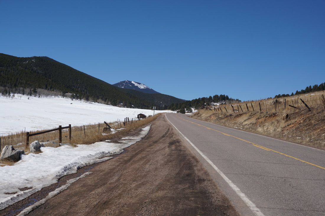
Directions: From Denver take I70W and exit onto Evergreen Parkway (74). Head south on Evergreen Parkway to Bergen Park until you see signs for Mt. Evans. Turn right onto Squaw Pass Road and take this all the way to the trailhead on your left.
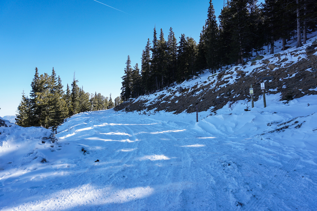
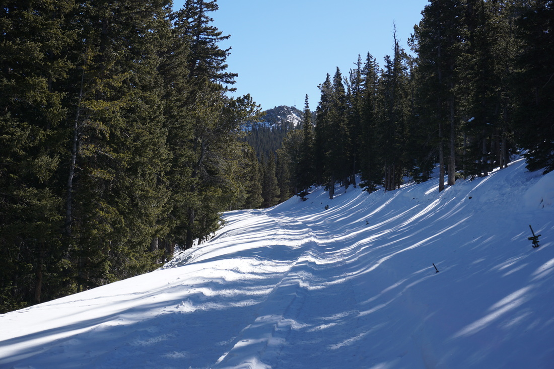
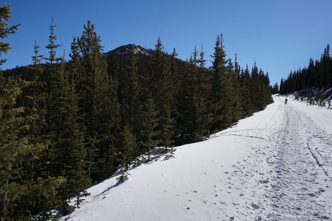
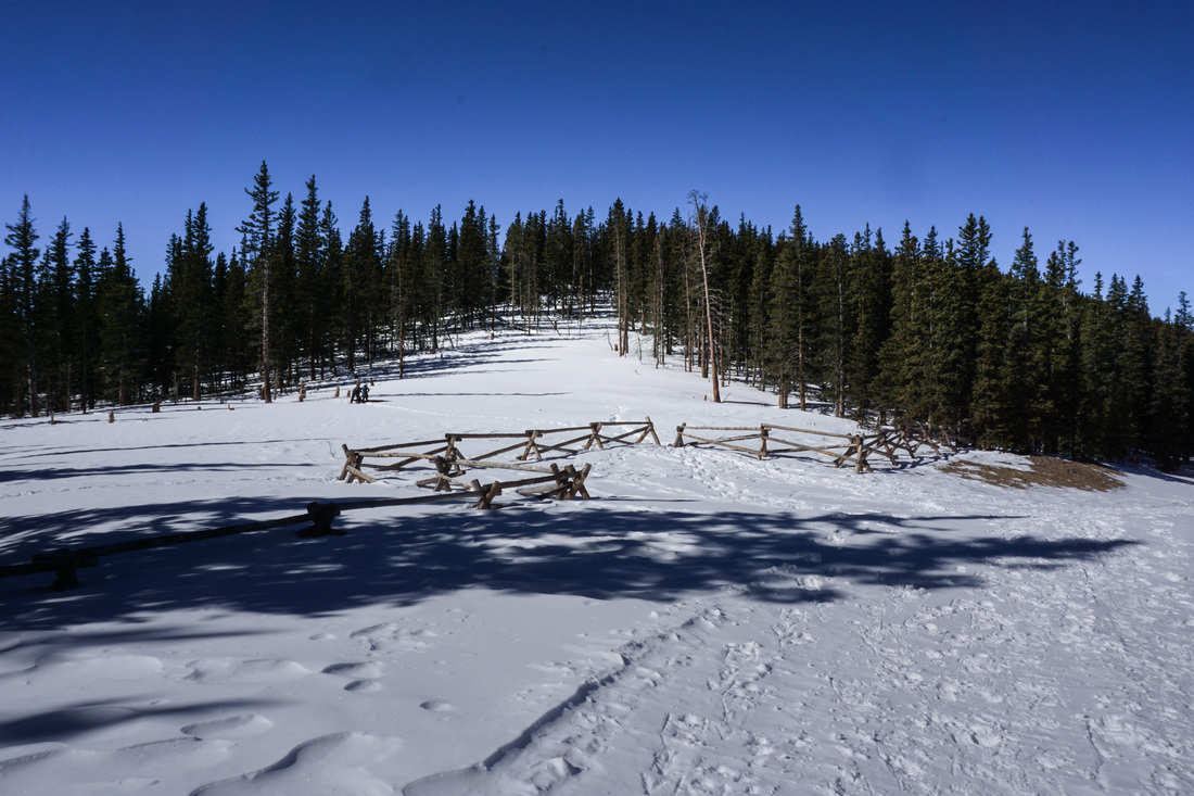
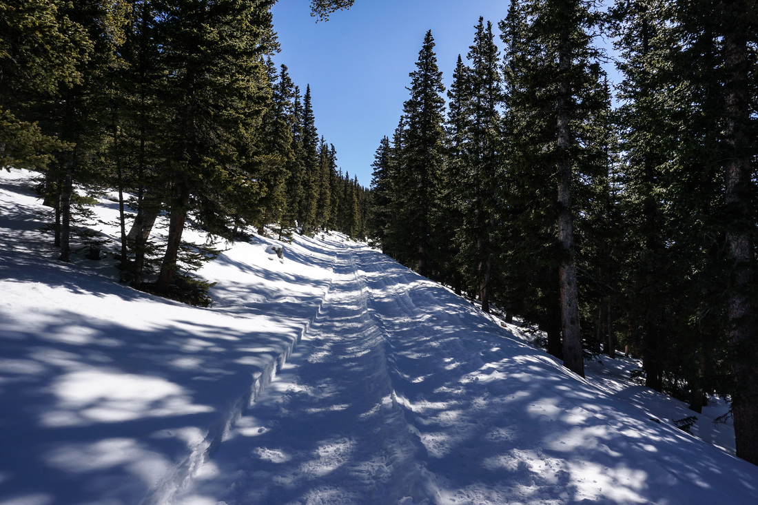
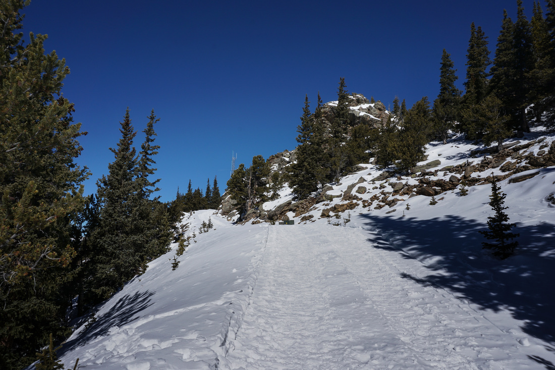
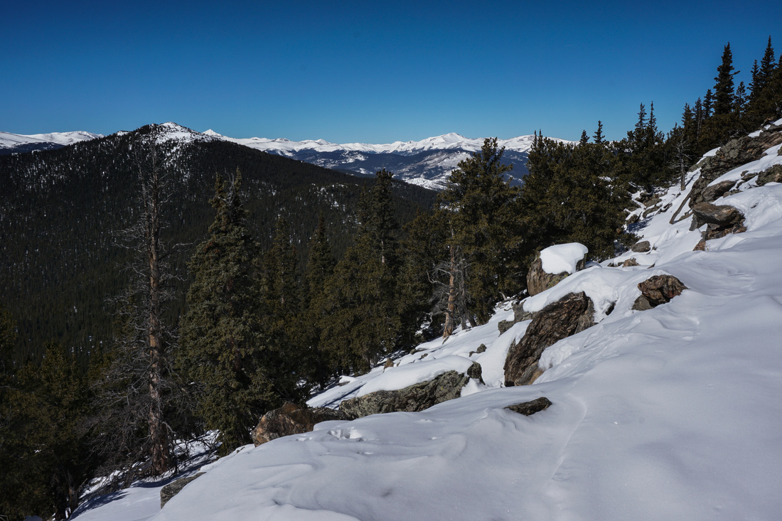
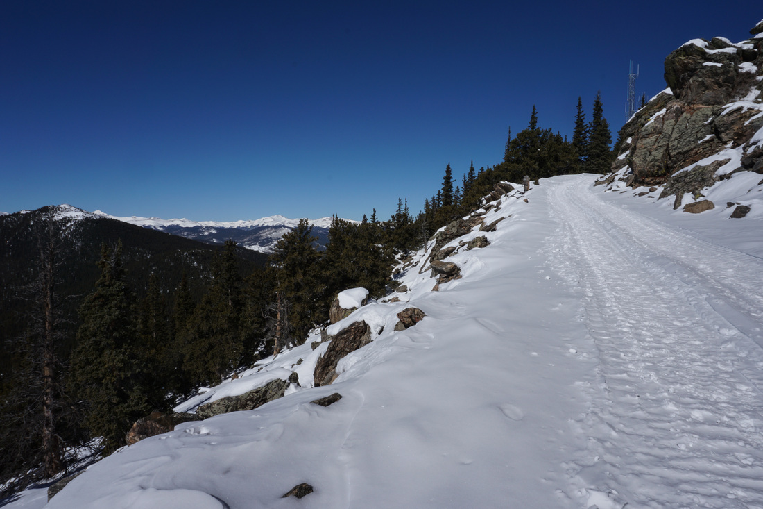
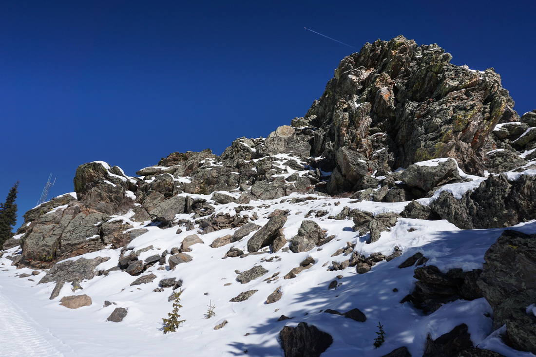
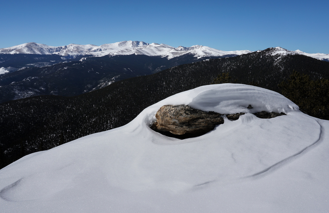
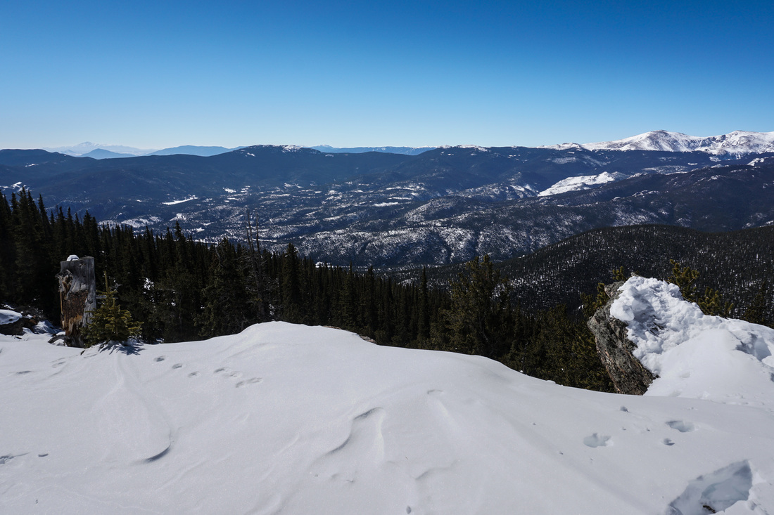
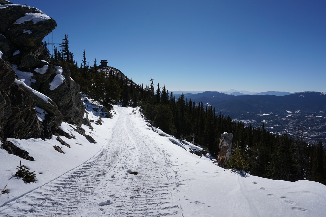
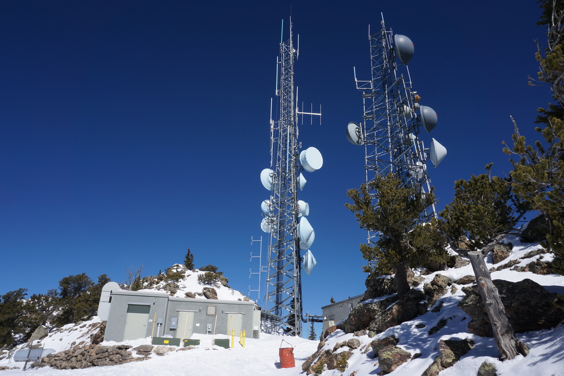
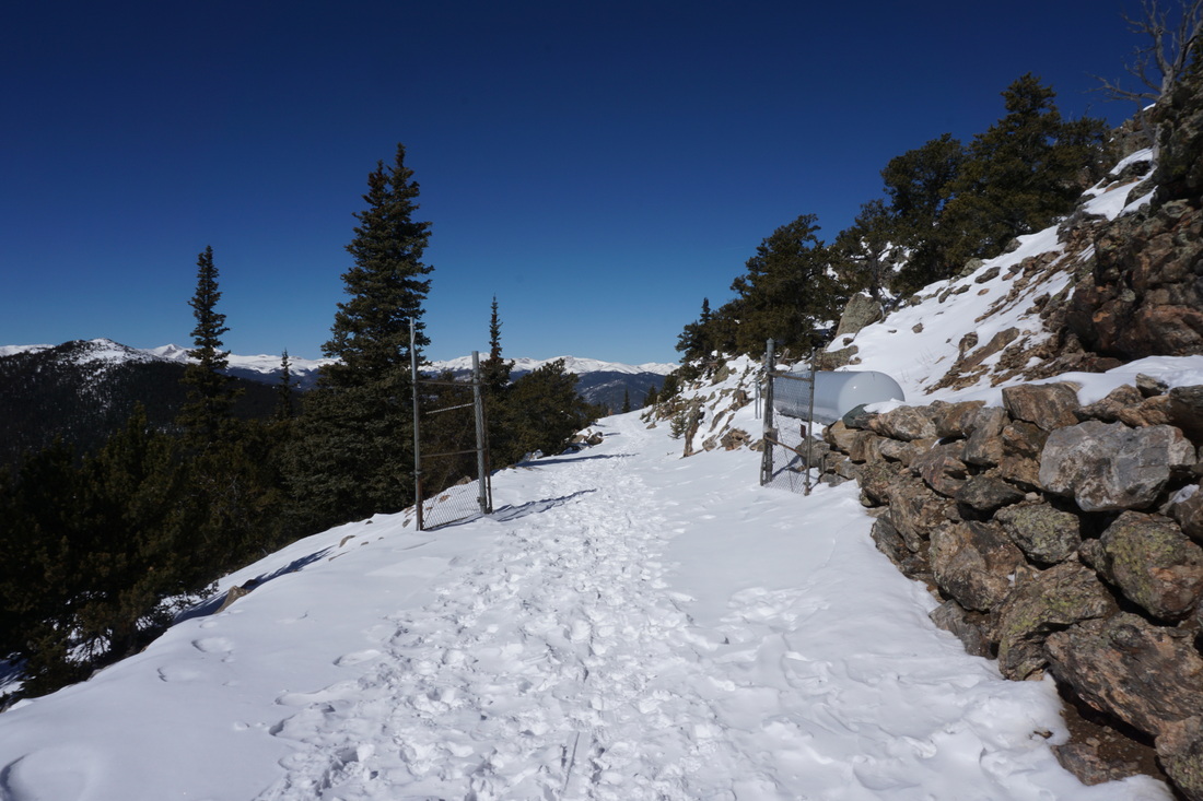
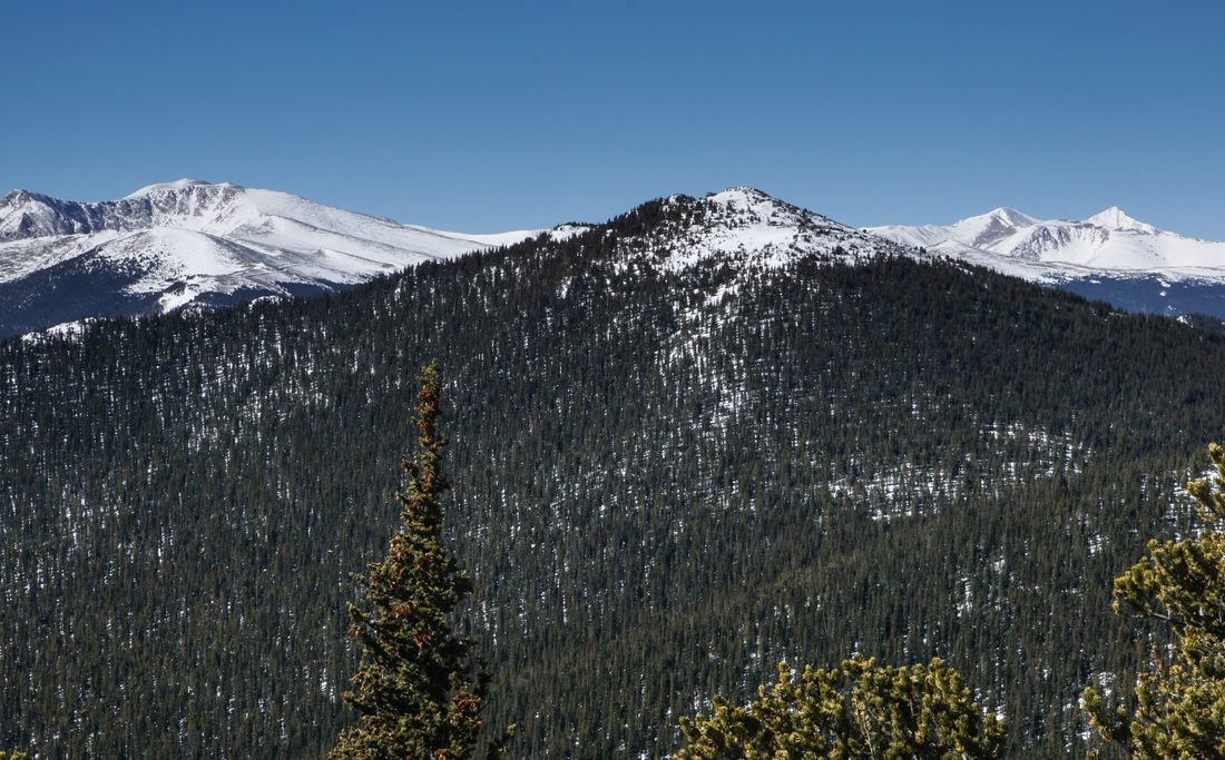
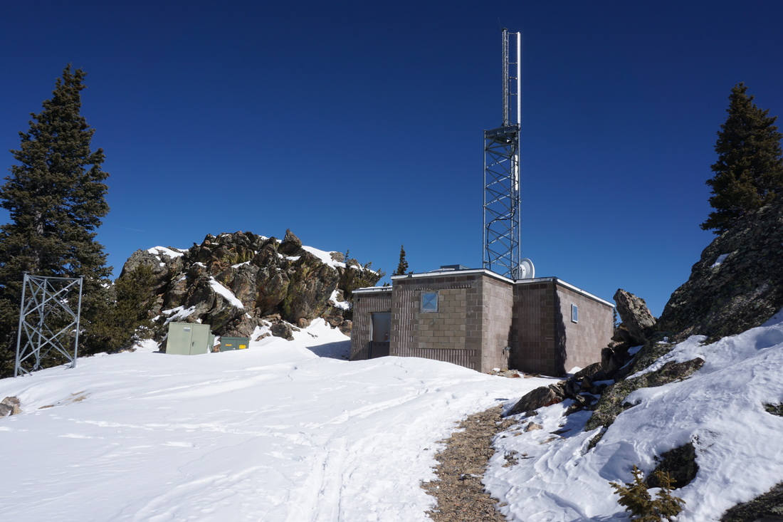
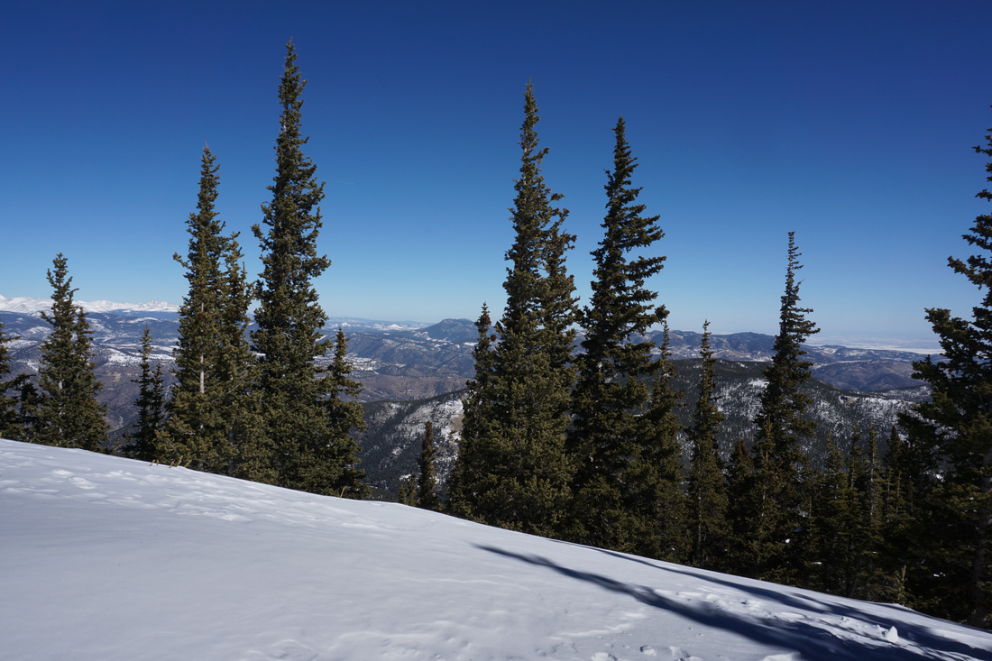
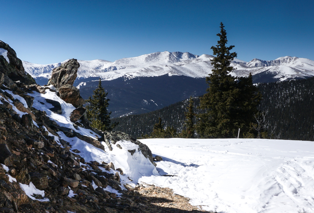
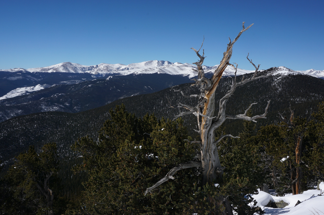
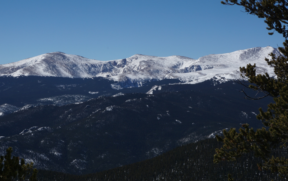
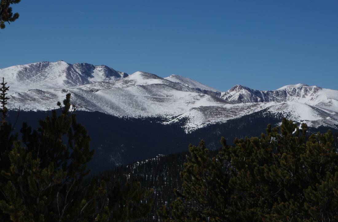
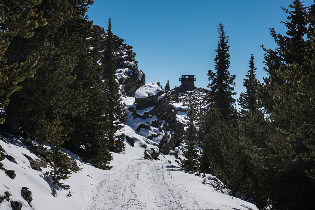
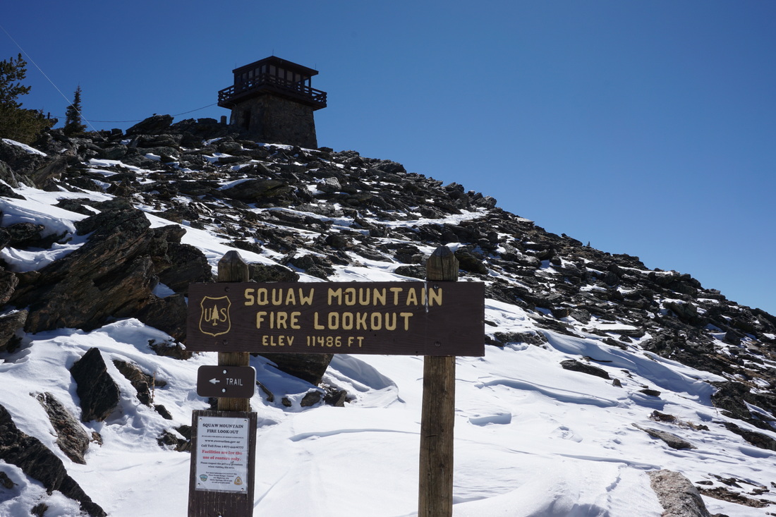
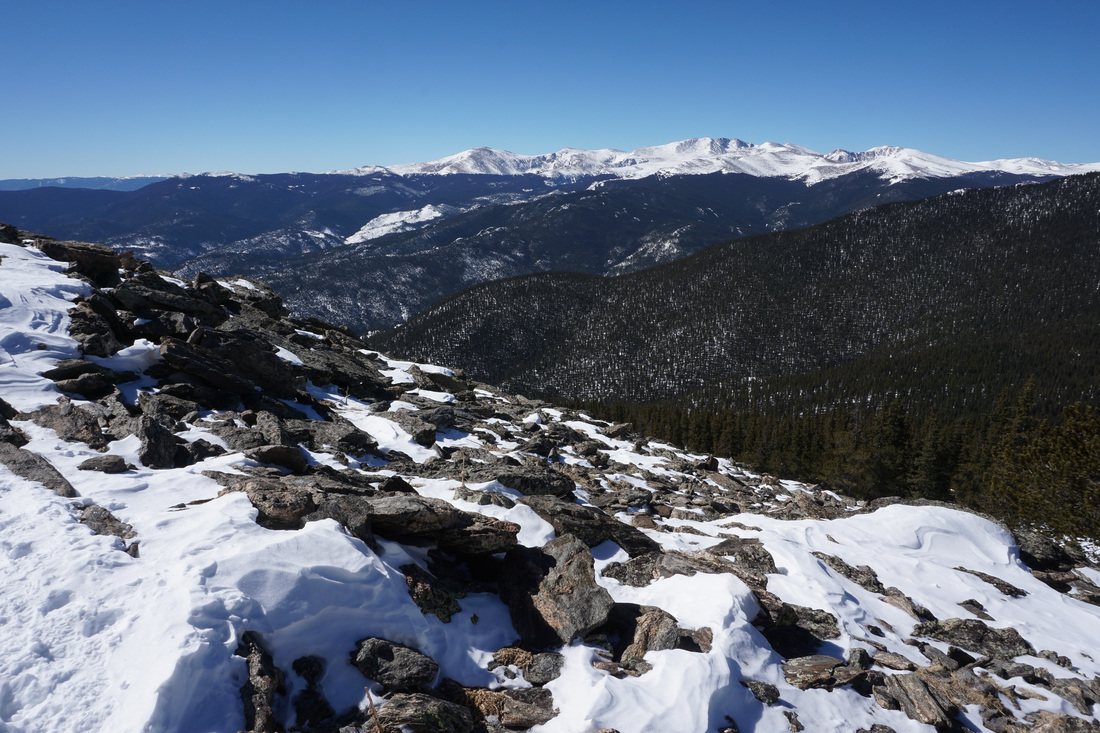
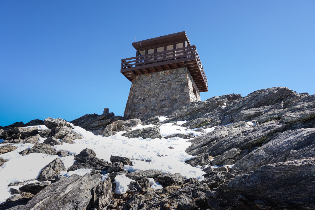
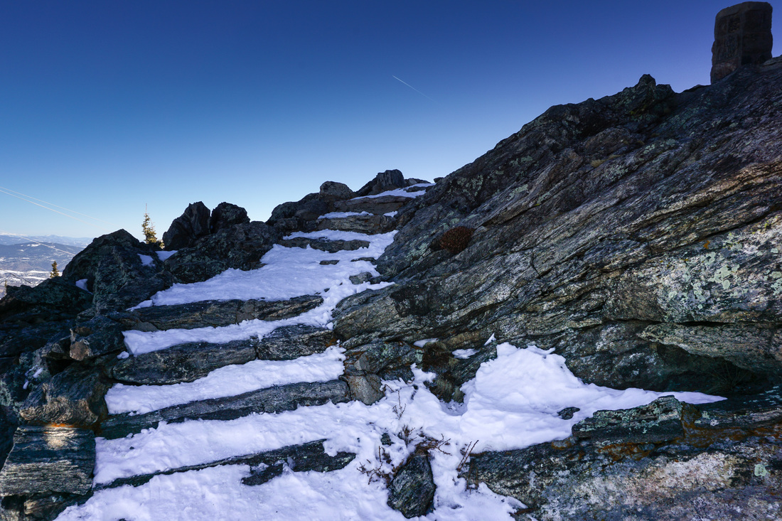
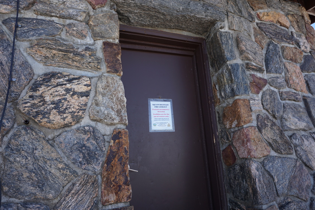
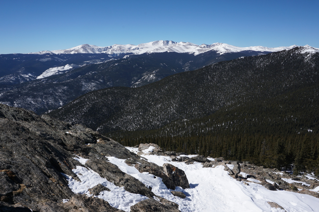
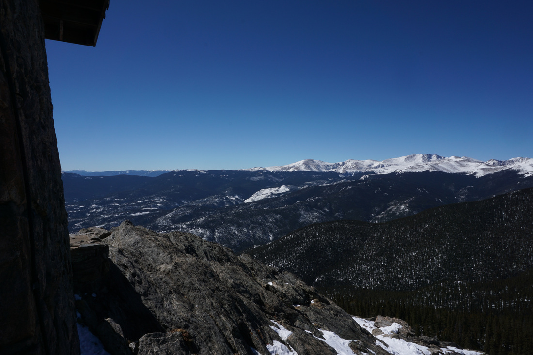
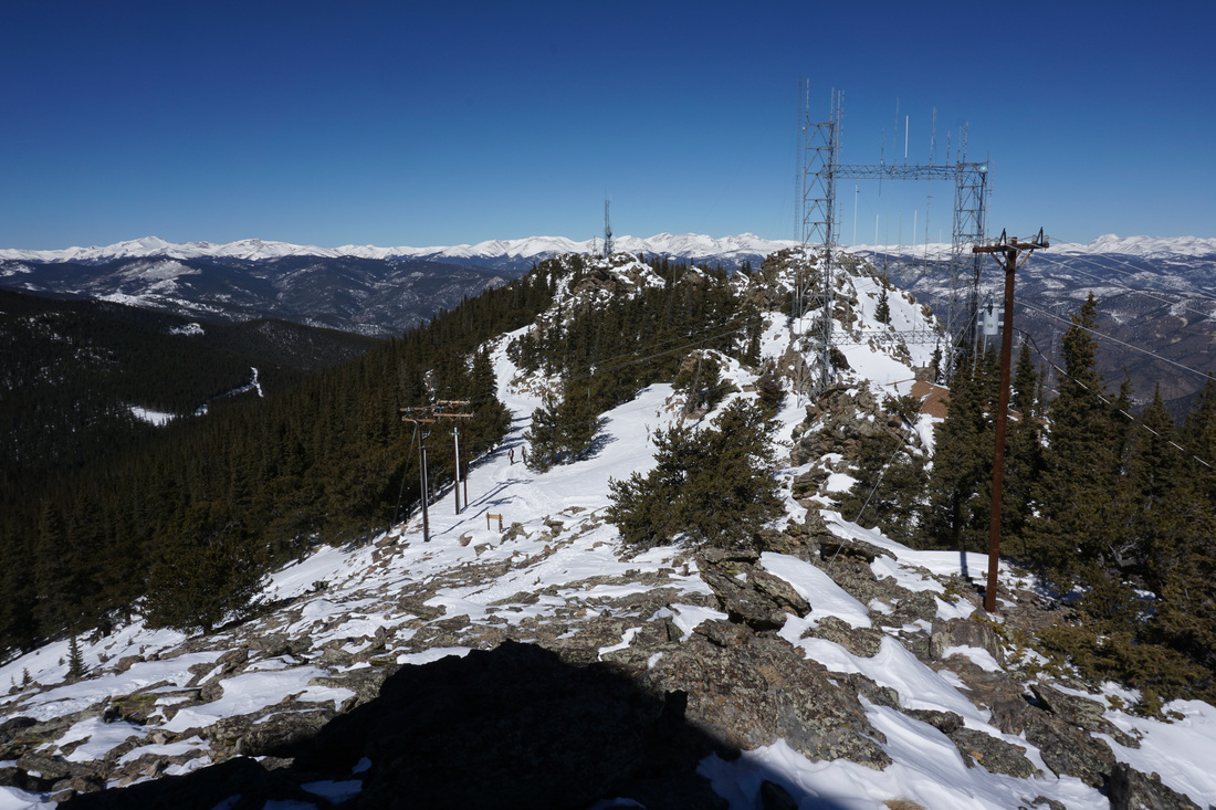
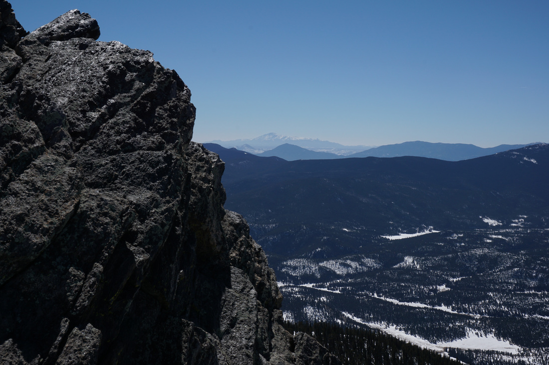
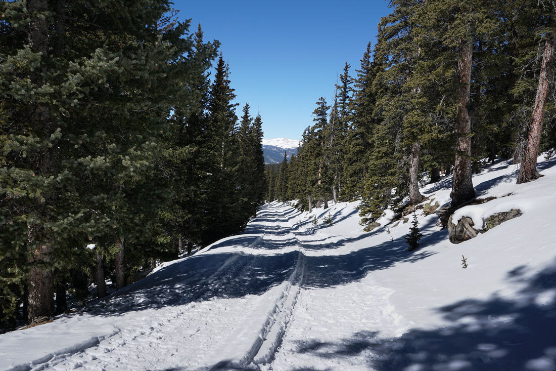
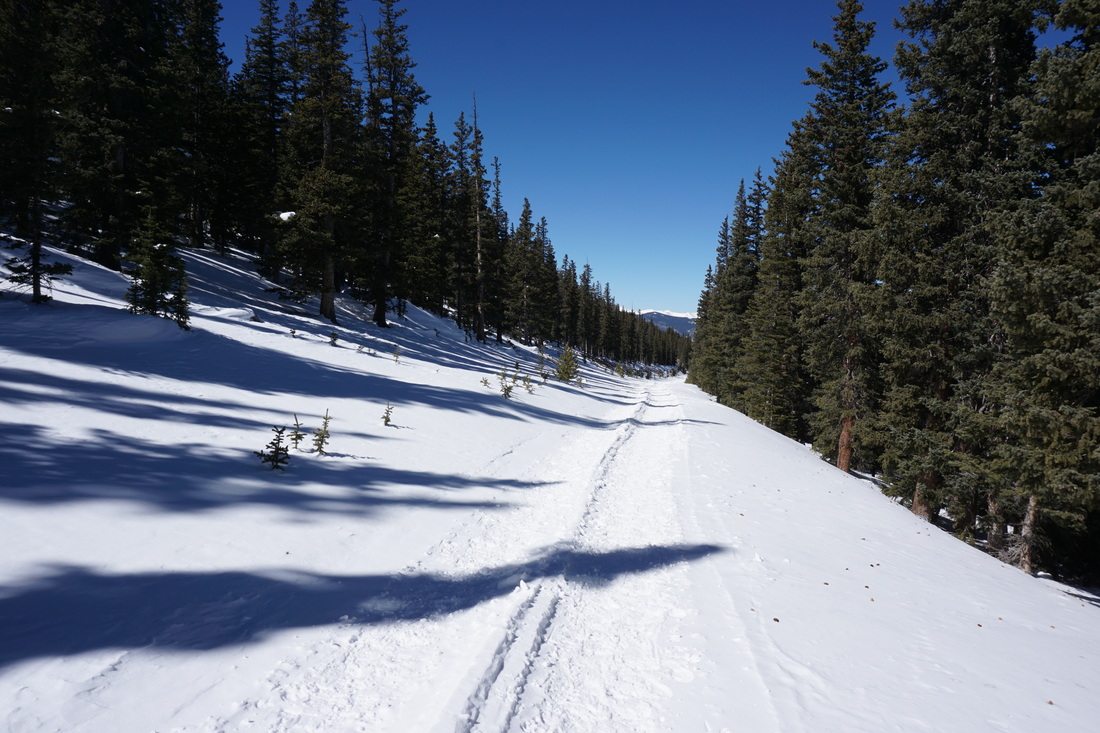
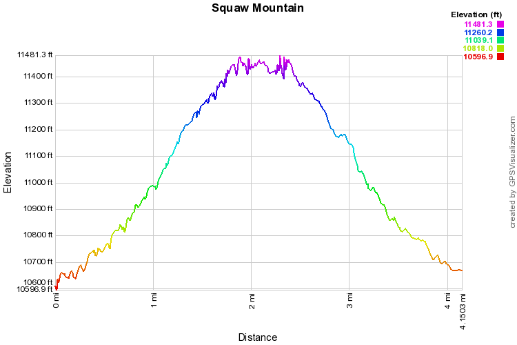
Squaw Mountain is a wonderful winter hiking trail with enormous views, an easy approach, and one problem area. There is a gate about .7 miles up the trail/road. Next to the gate is an area that many people use as a shooting range. From what I understand, in the summer and fall this poses a real problem for hikers as the area is inundated with empty beer cans, loud gunshots, and the smell of gunpowder. In the winter it is not nearly so bad, but still not ideal. However, once you get past this spot, the sounds drain away and the scenery make up for any hassle. This trail makes for a terrific easy snowshoe or an easy winter hike. The trail is very popular so unless you are breaking new ground after a big storm, you probably won't need snowshoes, but microspikes are helpful. The trail itself is impossible to lose, you just follow the wide road all the way to the summit. About .4 miles in, you'll pass the junction for Old Squaw Pass Road, which is also a wonderful winter snowshoe adventure, click here for a trail description. The only place where you may take a wrong turn is at the wooden fence marking the shooting range. The trail turns left here, don't go through the opening in the fence. Once you near the top, there are a few switchbacks that lead you to a three way junction. Turning left here takes you to the radio tower. This section of the trail has amazing views of Mt. Evans, Chief Mountain, Grays and Torreys Peaks, the Continental Divide, and Rocky Mt. National Park. The trail ends just a little ways beyond the radio antenna through an open gate. Going right at the junction takes you to the Squaw Mountain Fire Lookout Tower. A narrow trail takes you up to the tower and offers tremendous views of Mt. Evans and south to Pike's Peak. The tower itself is basically a backcountry hut, which you can reserve for $80/night. Sounds like a great way to get a little hut trip in, so close to home. I can't overstate the views from the top of Squaw, simply marvelous. Well worth a little gunfire... |
|