GO HIKE COLORADO
Get in Touch:
  • HOME
  • ABOUT
  • HIKES BY REGION
    • DENVER AREA >
      • Denver Mountain Parks
      • Jefferson County Open Space
      • Lakewood Parks
      • Denver Area Greenways
    • BOULDER AREA
    • DOUGLAS COUNTY
    • FORT COLLINS AREA
    • COLORADO SPRINGS AREA
    • FRONT RANGE
    • TENMILE & MOSQUITO RANGES
    • GORE RANGE
    • SANGRE DE CRISTO MOUNTAINS
    • PARK RANGE
    • SAWATCH RANGE
    • ELK MOUNTAINS
    • SAN JUAN MOUNTAINS
    • THE FLAT TOPS
    • GRAND MESA
    • COLORADO PLATEAU
    • EASTERN PLAINS
  • NATIONAL PARK HIKES
    • BENT'S OLD FORT NATIONAL HISTORIC SITE
    • BLACK CANYON OF THE GUNNISON NATIONAL PARK
    • COLORADO NATIONAL MONUMENT
    • CURECANTI NATIONAL RECREATION AREA
    • DINOSAUR NATIONAL MONUMENT
    • FLORISSANT FOSSIL BEDS NATIONAL MONUMENT
    • MESA VERDE NATIONAL PARK
    • ROCKY MOUNTAIN NATIONAL PARK
    • GREAT SAND DUNES NATIONAL PARK
    • HOVENWEEP NATIONAL MONUMENT
    • SAND CREEK MASSACRE NATIONAL HISTORIC SITE
    • YUCCA HOUSE NATIONAL MONUMENT
  • HIKES BY CATEGORY
    • HIKES TO ALPINE LAKES
    • HIKES TO PEAKS & PASSES
    • HIKES THROUGH CANYONS
    • HIKES WITH FALL COLORS
    • HIKES ALONG THE I-70 CORRIDOR
    • HIKES ON PAVED TRAILS
    • HIKES FOR KIDS
    • HIKES TO WATERFALLS
    • HIKES ALONG RIVERS
    • HIKES WITH ROCK FORMATIONS
    • HIKES WITH WILDFLOWERS
    • WINTER HIKES
  • NEWS
  • WEBCAMS
  • $UPPORT GHC
  • INTERACTIVE MAP

South Summit Loop
​Routt National Forest

Date Hiked: February 13, 2016

Distance: 3 mi (RT)
Elevation Gain: 598ft
Elevation Min/Max: 9,246 to 9,582ft
Trailhead Lat/Long: 40º 22' 08" N; 106º 44' 30" W 
Managing Agency: U.S. Forest Service
Fee: None

Rabbit Ears Pass Trail Info (USFS)
Picture

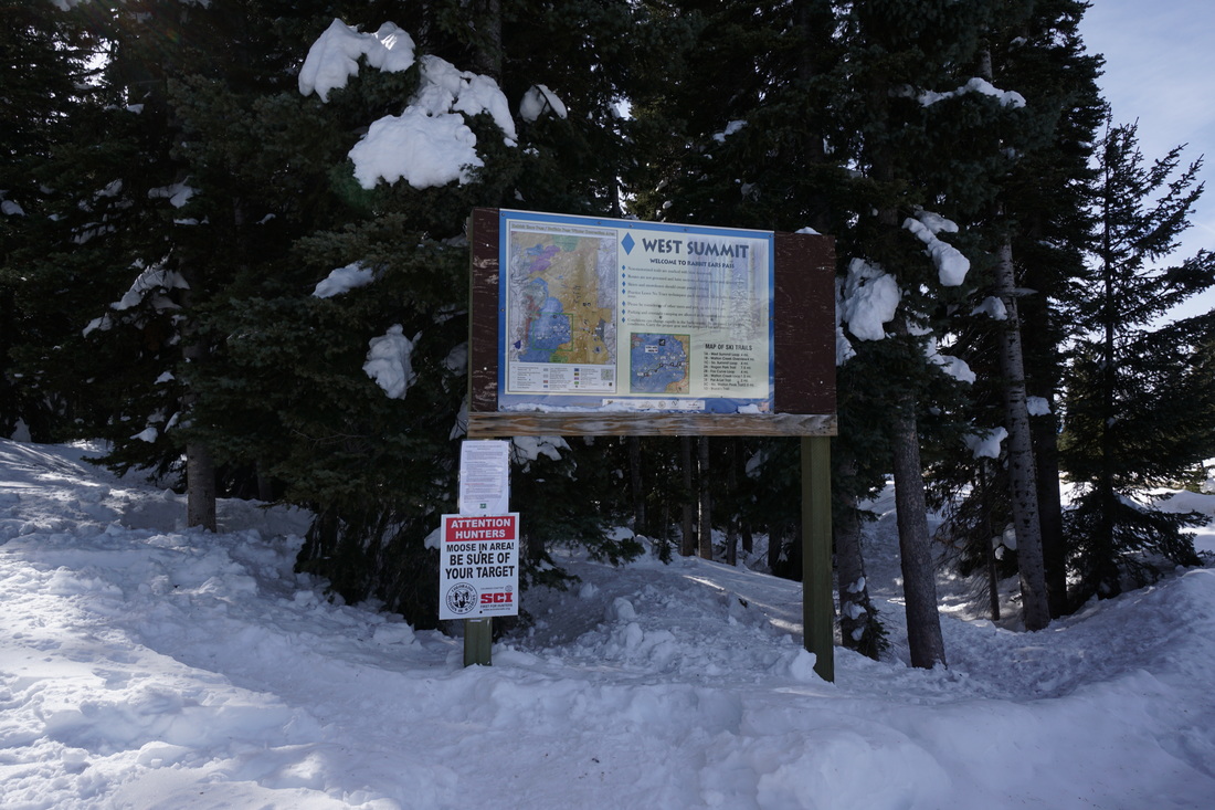
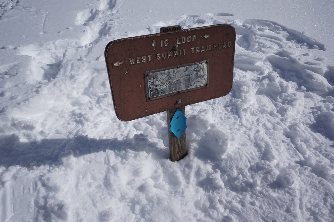
Directions:  From Steamboat Springs head east on I40 up to the summit of Rabbit Ears Pass.  The West Summit Trailhead will be the first trailhead that you come to and the South Summit Loop begins on the south side of US 40 at the western portion of the large parking area.

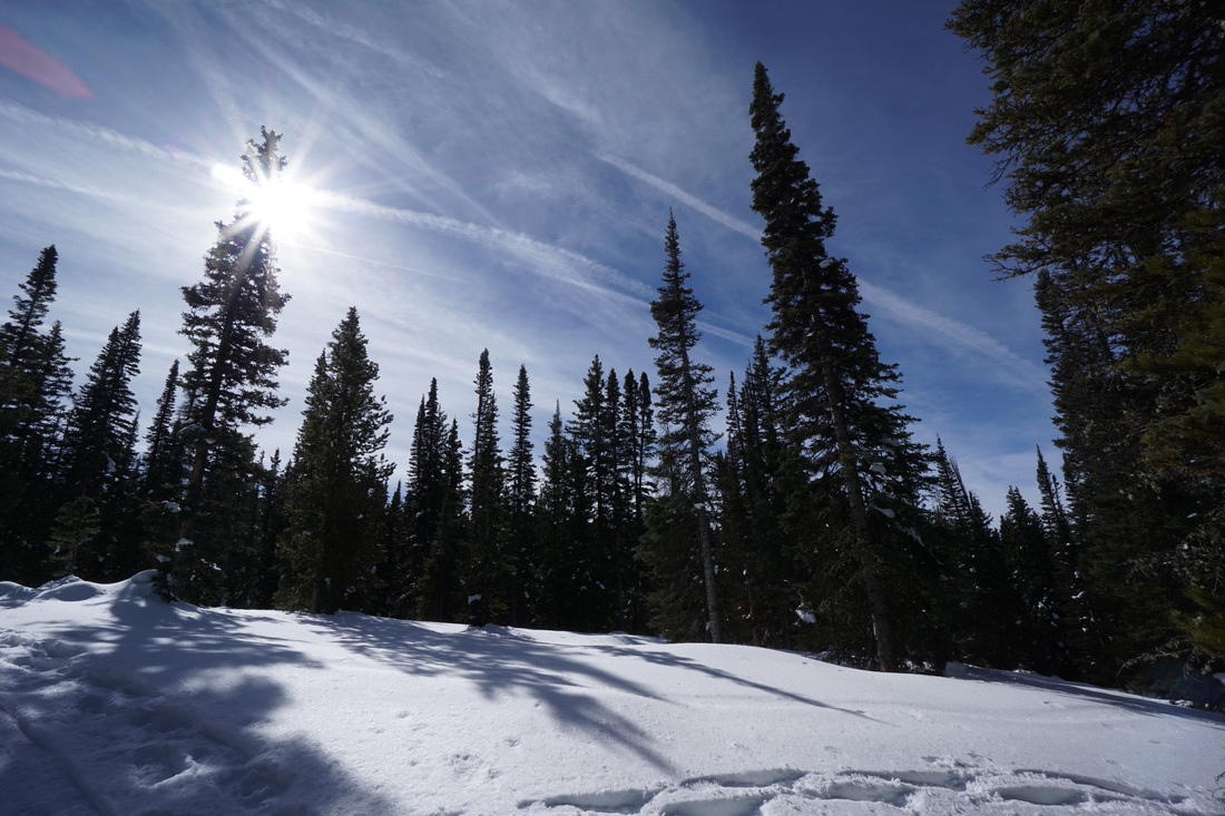
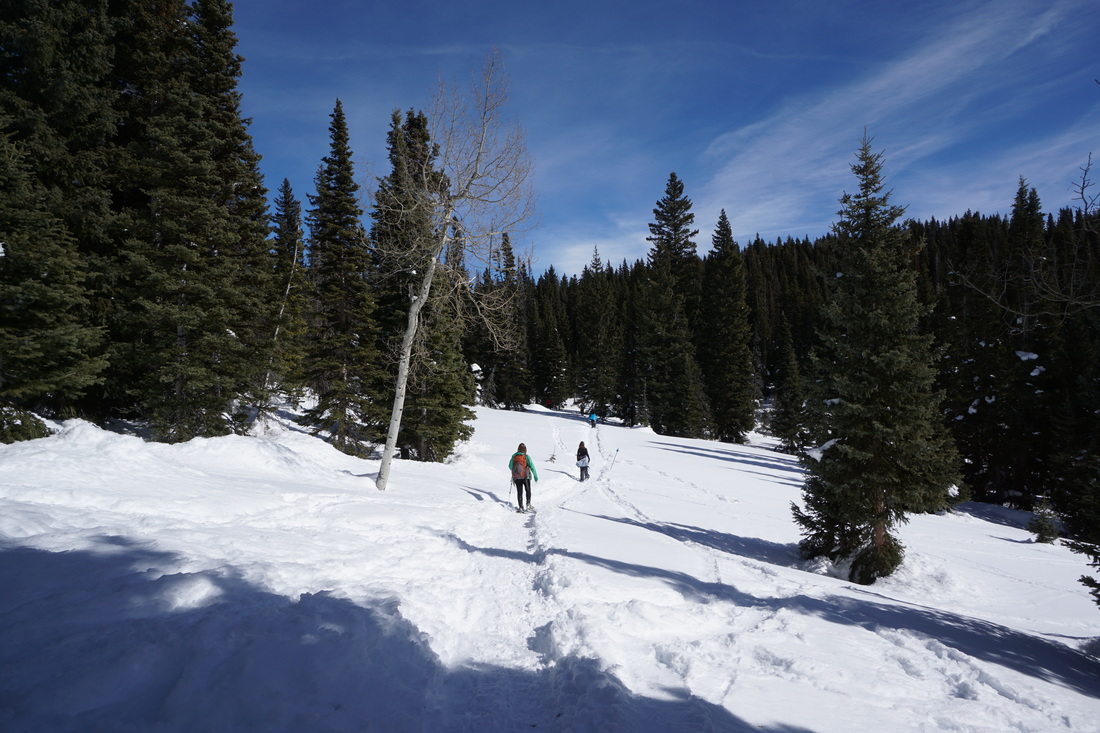
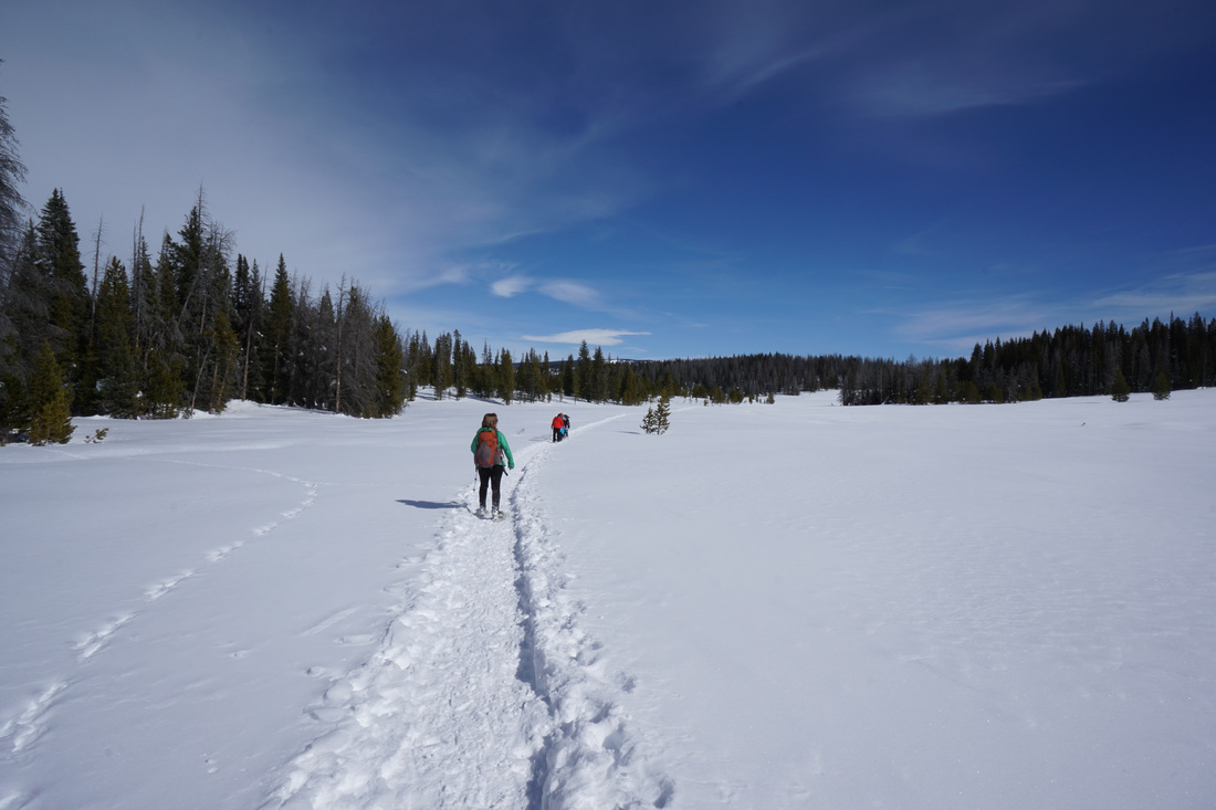
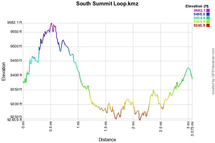
The South Summit Loop is a wonderful snowshoe or cross country skiing rout on the western end of Rabbit Ears Pass.  The loop is one of the shorter loops on Rabbit Ears Pass and traverses a diverse landscape in a winter sports paradise.

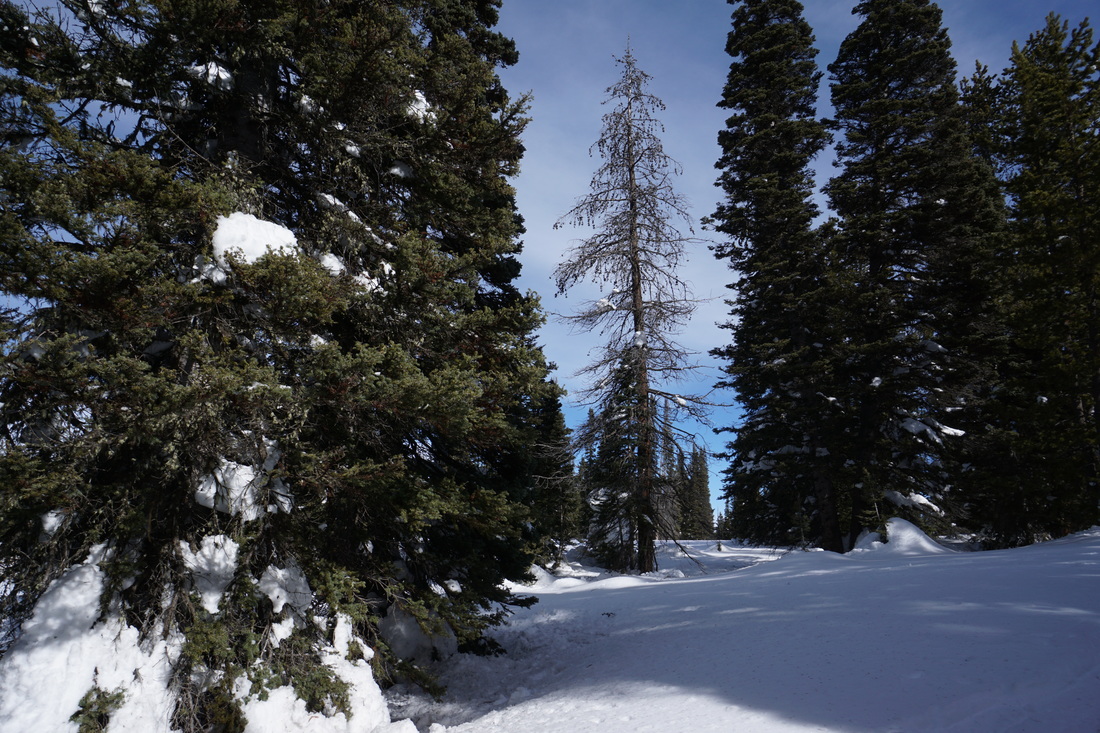
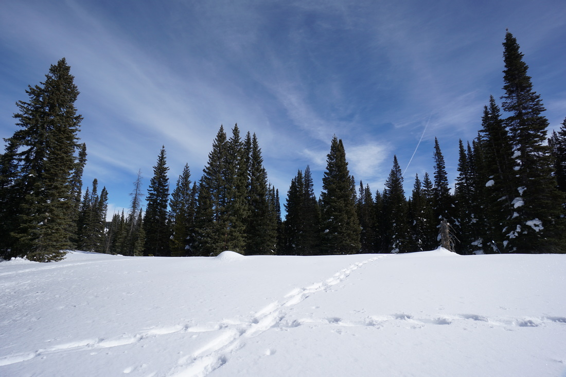
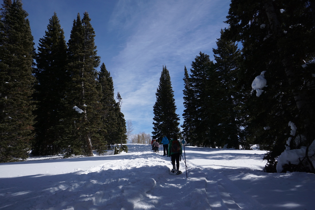
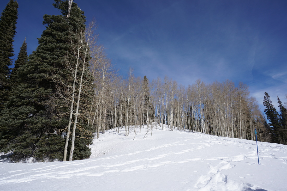
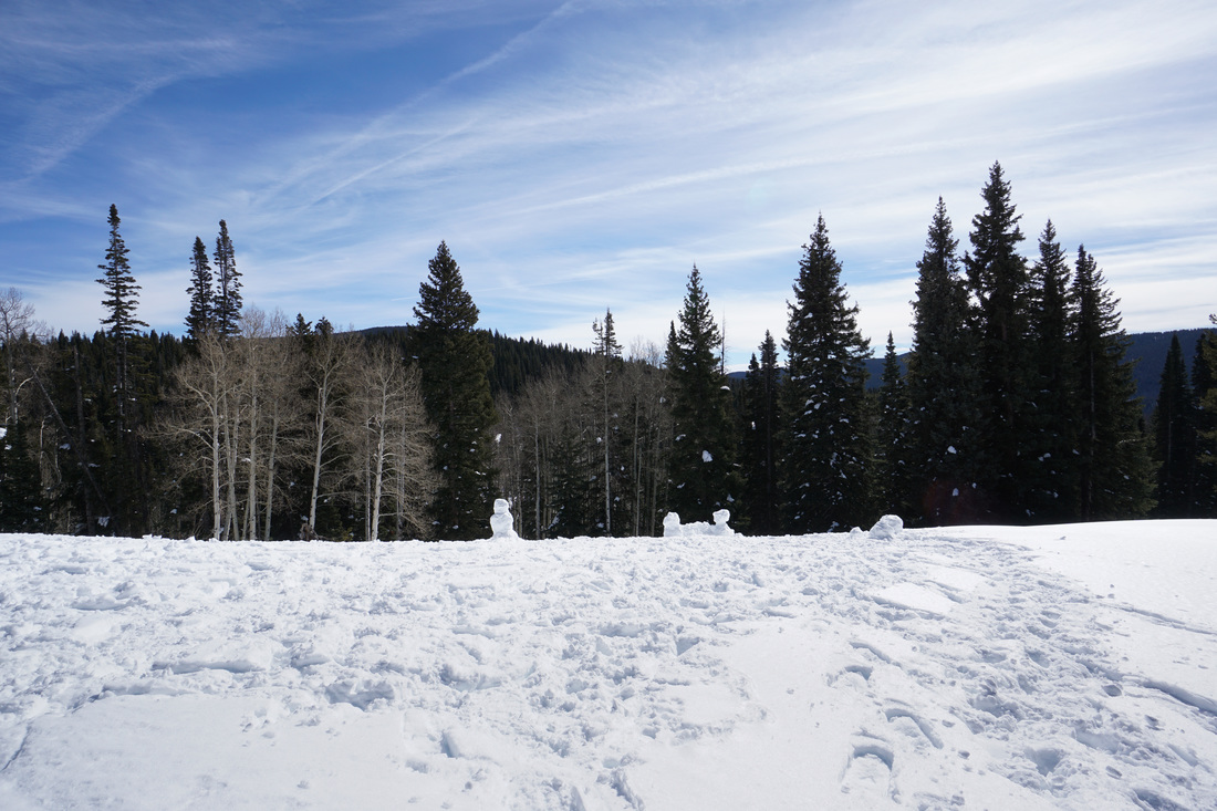
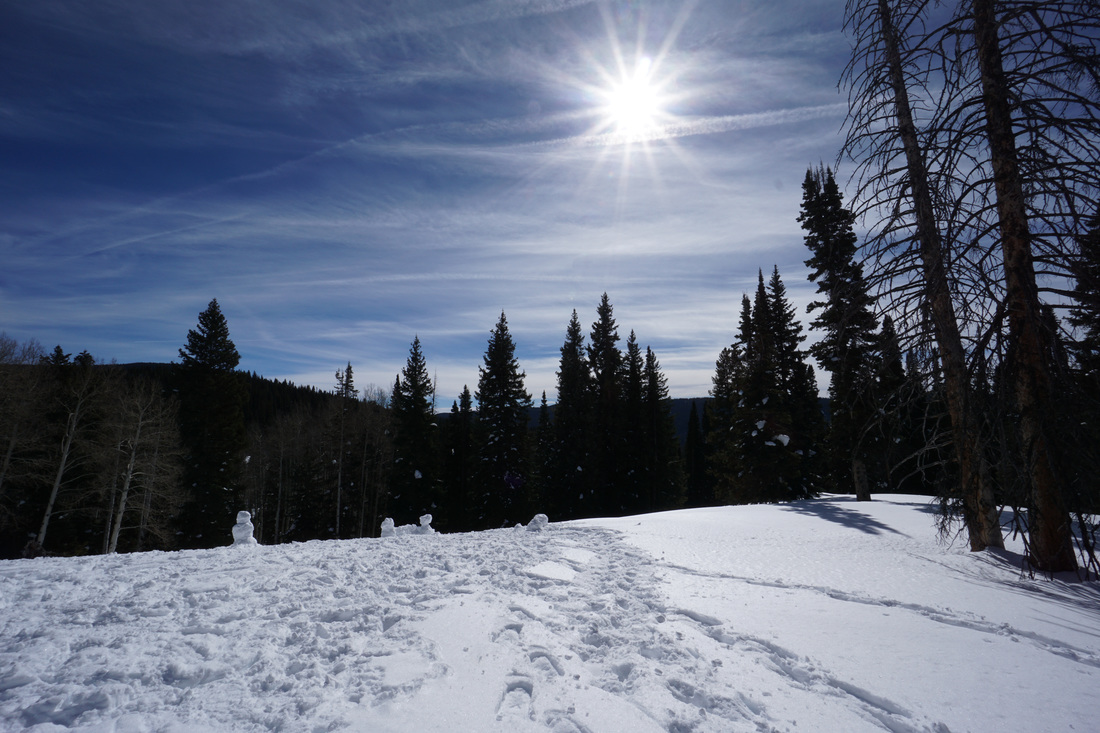
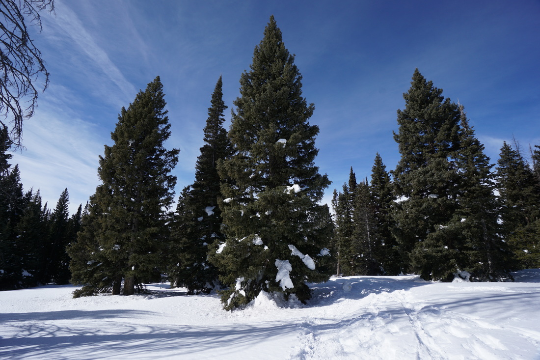
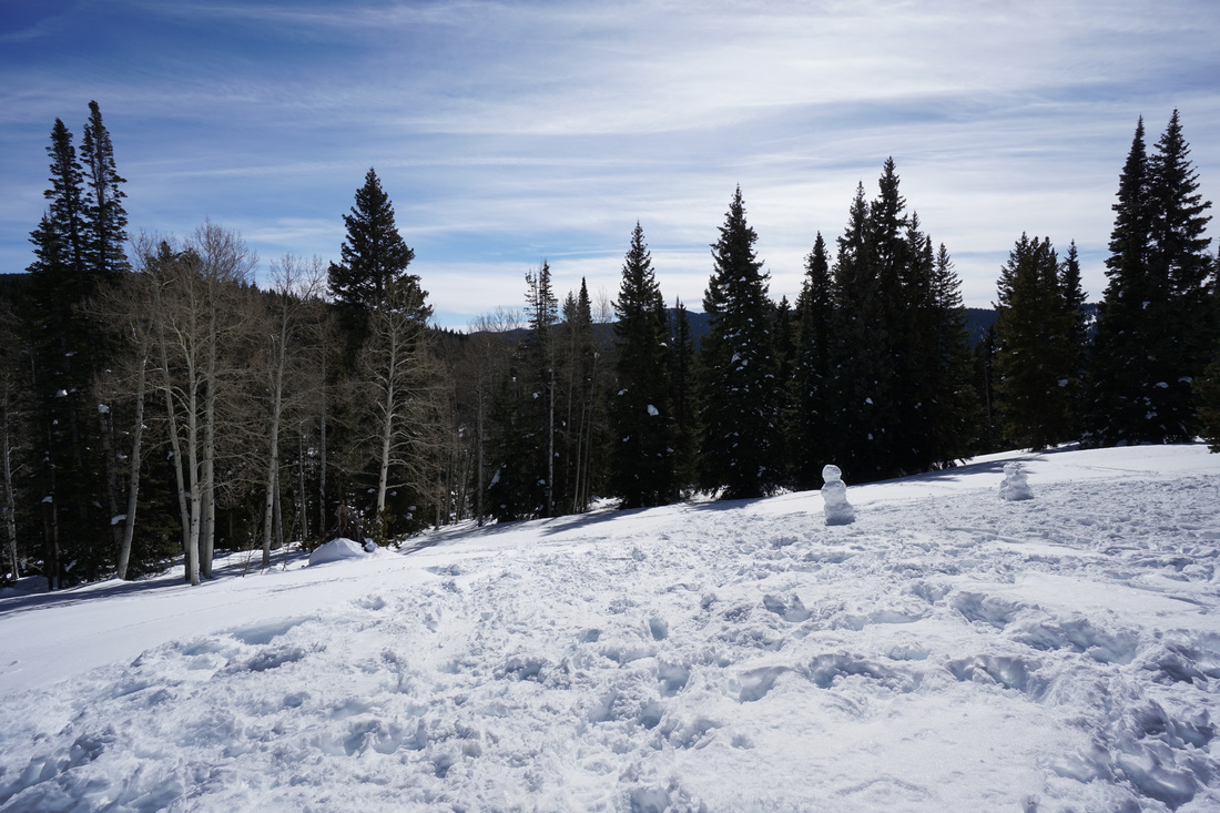
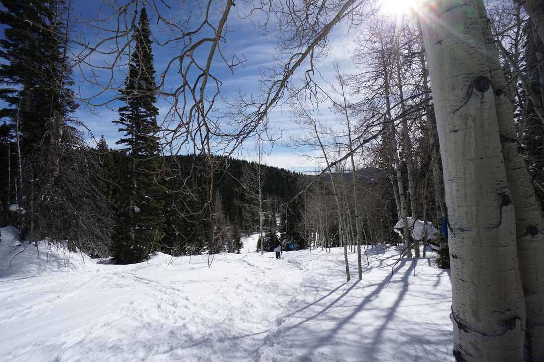
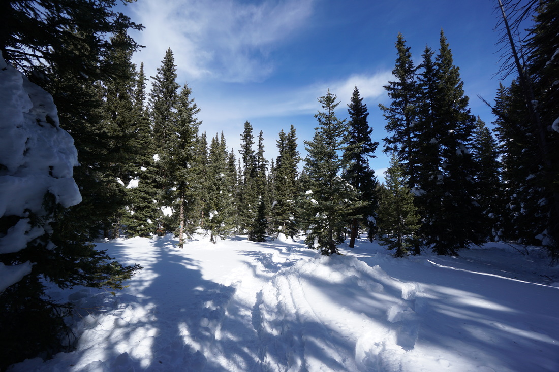
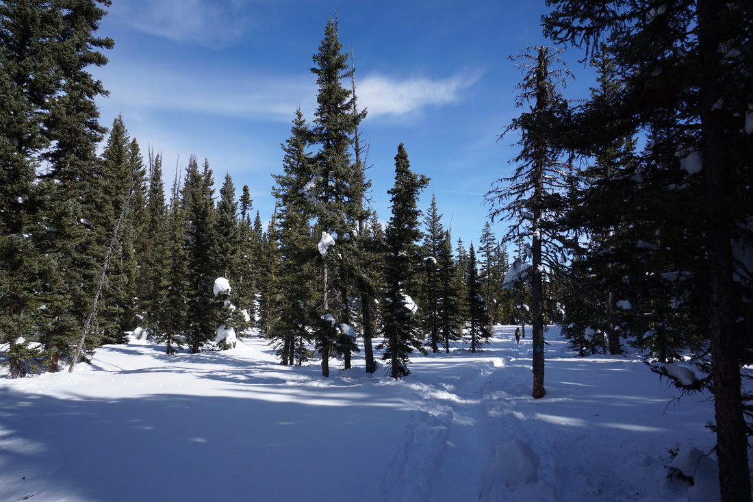
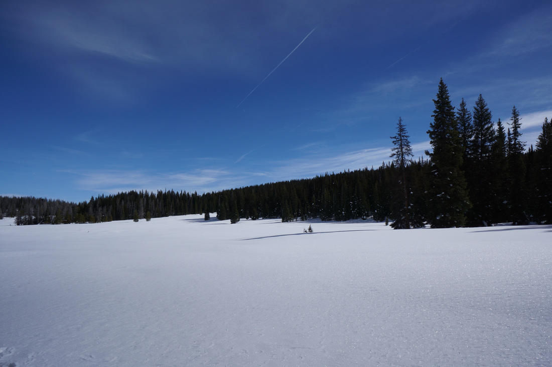
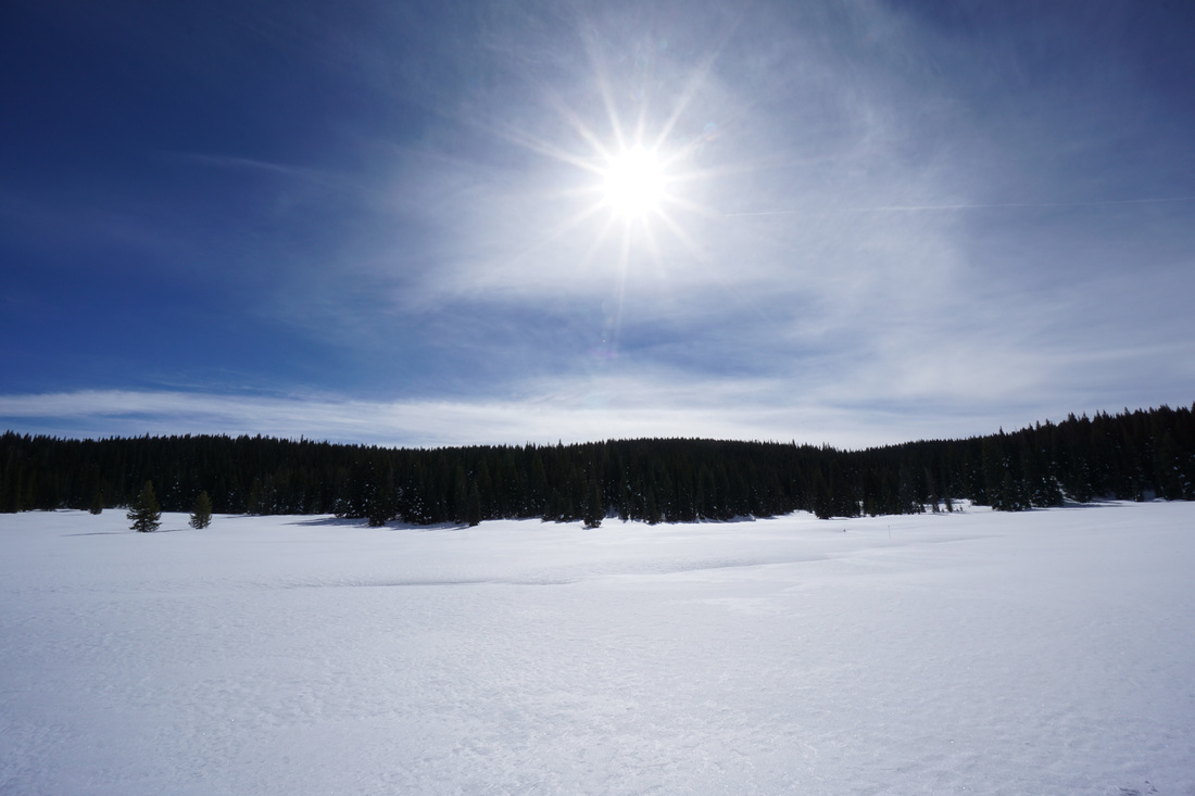
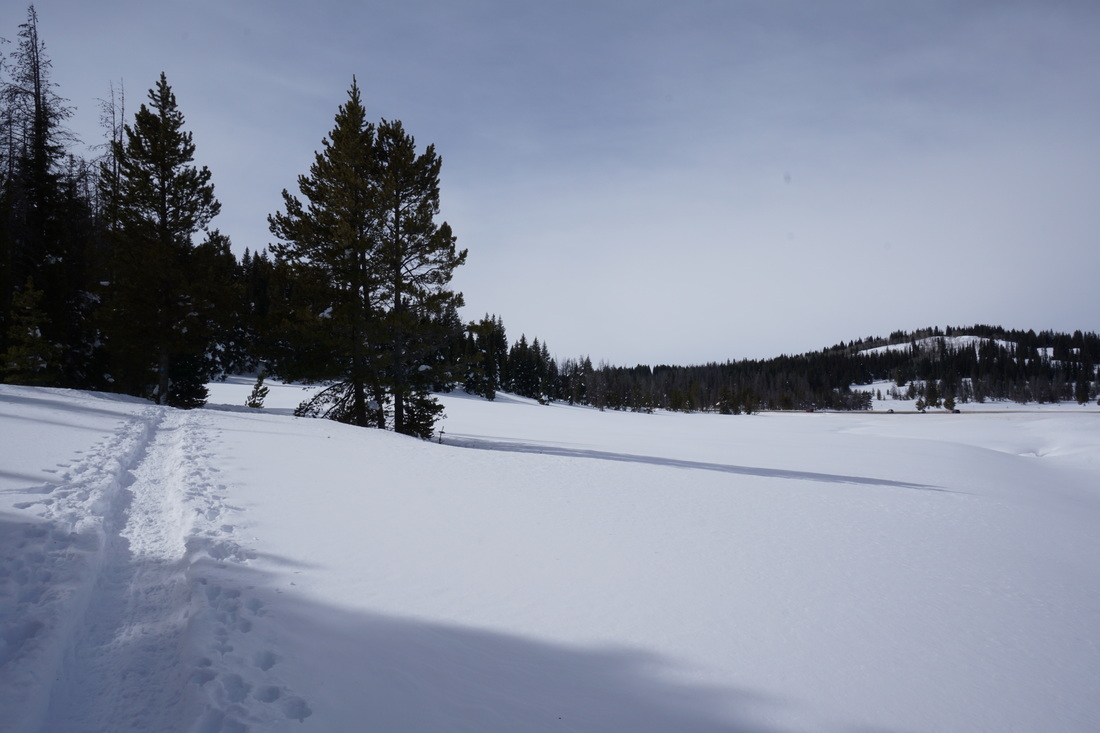
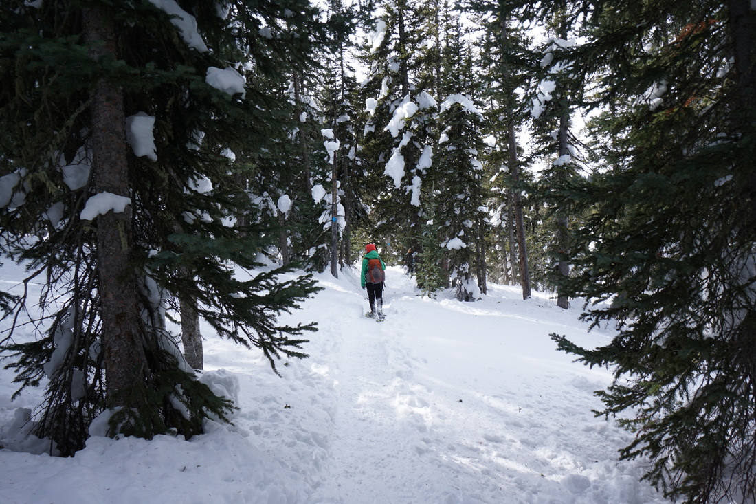
The trail starts by a moderately steep climb through evergreen forest with various clearings and meadows until it reaches the high point with nice views to the south and west and a beautiful aspen grove to the east.  From the summit the trail descends down to a large open meadow with more westerly views and turns sharply to the east.  After rolling through more evergreen forest, you reach the large and windy meadow and the meadows campground.  After you cross the meadow, the trail turns north and cuts back towards US 40.  The trail then weaves in and out of the forest with open views to the highway and the snowy mountains beyond.  After about 3 miles you'll rejoin the trail you started on and dip back down to the parking area.

Following this trail counterclockwise gets the steepest ascent out of the way in the beginning of the hike, leaving the gentle uphill climb for the second half.  

Although you might not get much solitude on this trail, the trail is peaceful and serene and the winter forest is simply stunning.  Rabbit Ears Pass gets a ton of fluffy powder all winter long and this is a great way to enjoy it.
Powered by Create your own unique website with customizable templates.