|
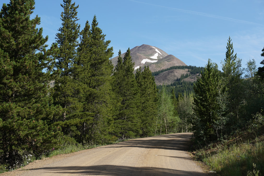
Directions: From Frisco, head north on Hwy 9 and turn left (east) onto Swan Mountain Road. Follow the road up to a high point and you'll see the parking area and trailhead to the left. From Dillon, follow US 6 south towards Keystone. Before you reach Keystone turn right onto Swan Mountain Road and follow it until you see the trailhead.
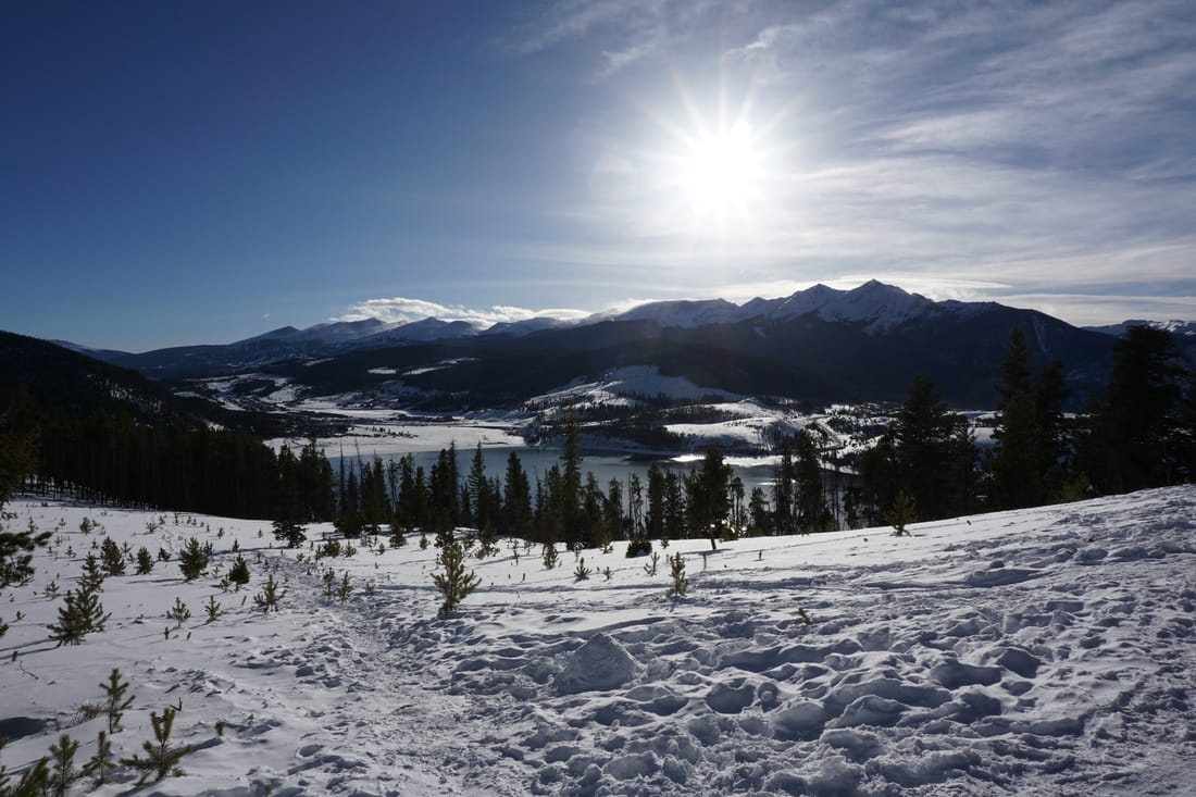
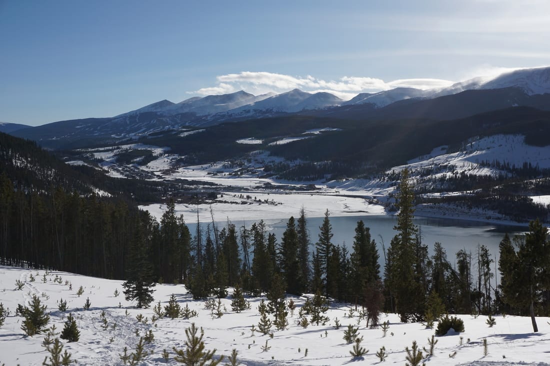
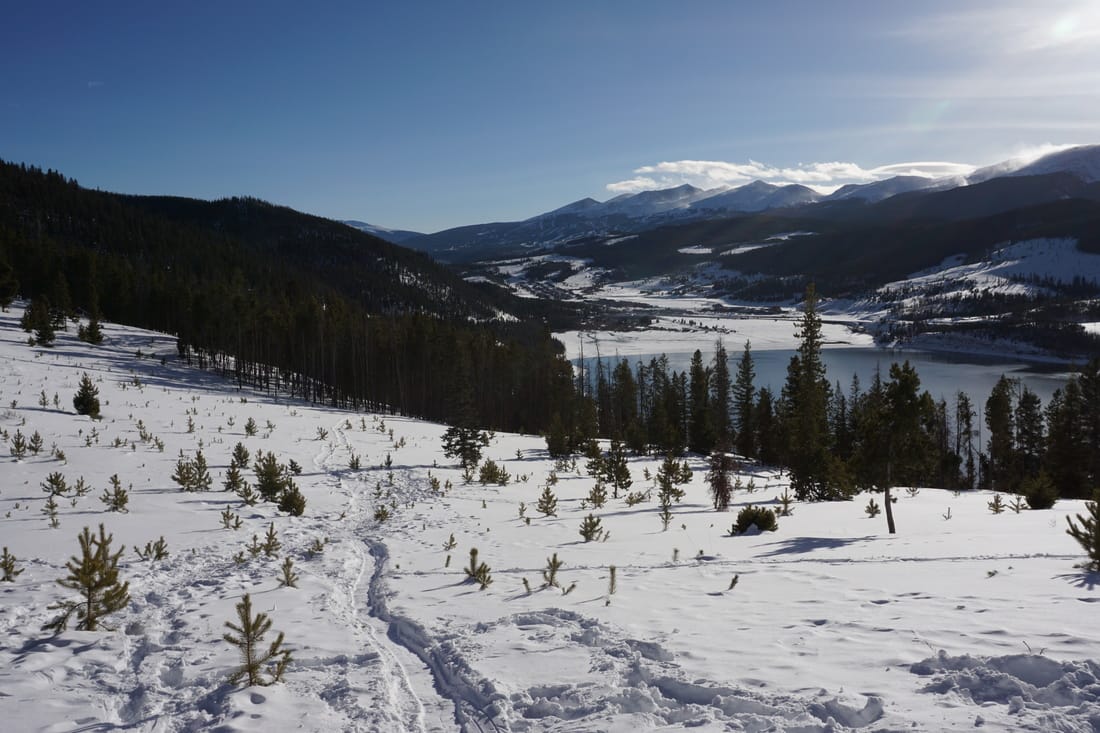
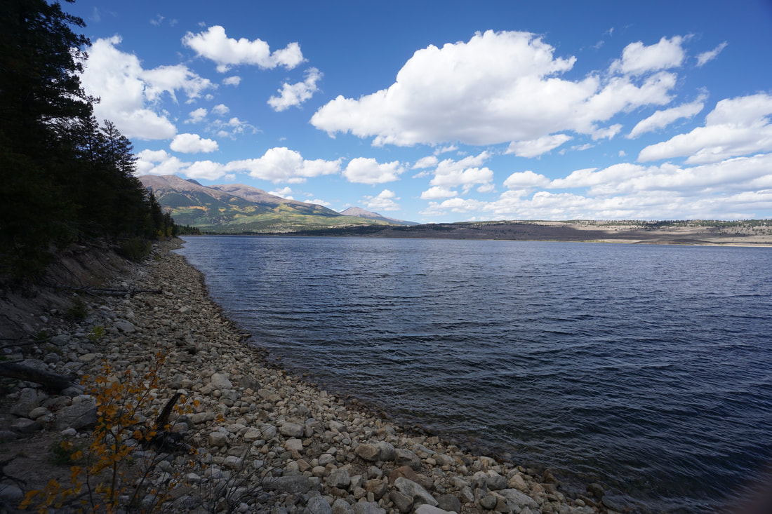
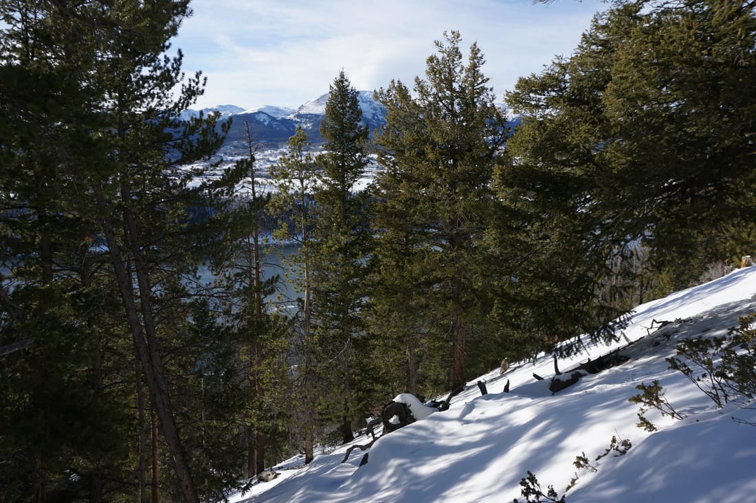
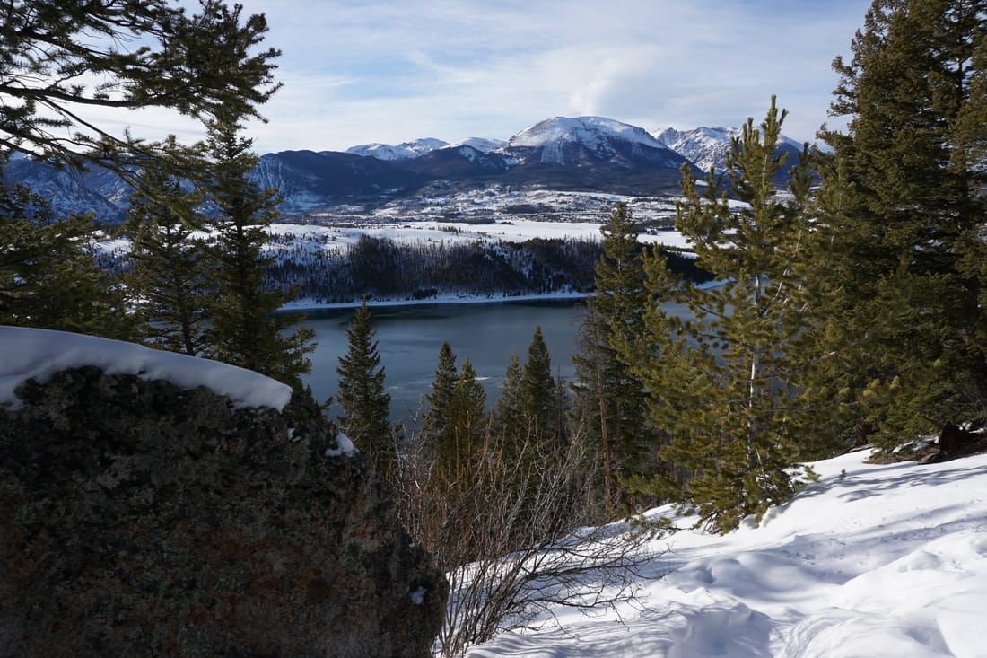
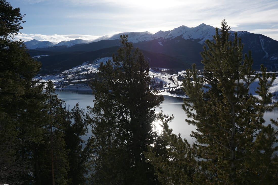
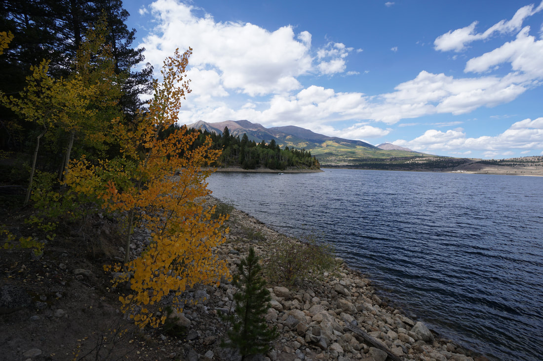
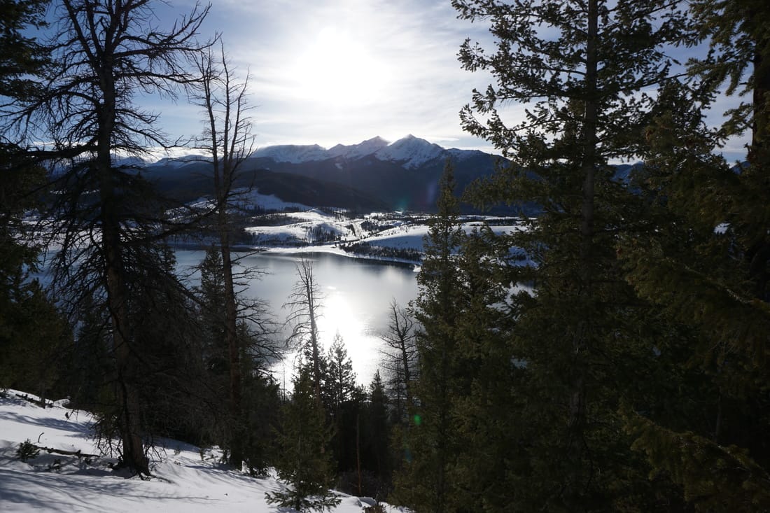
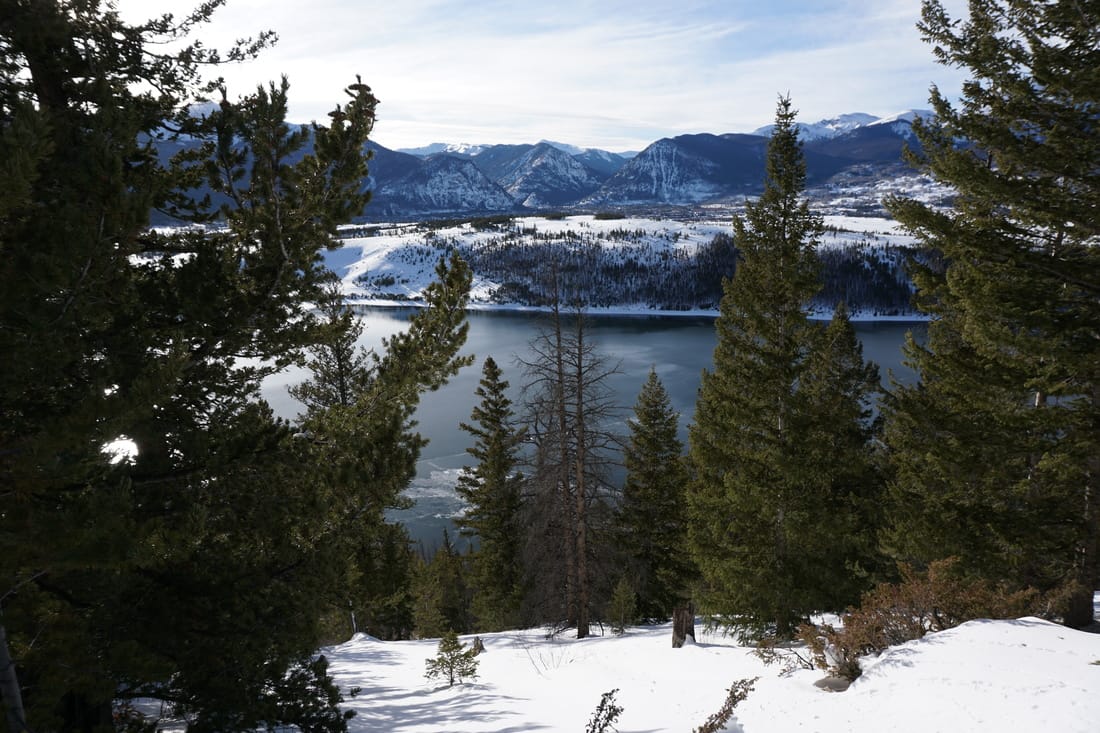
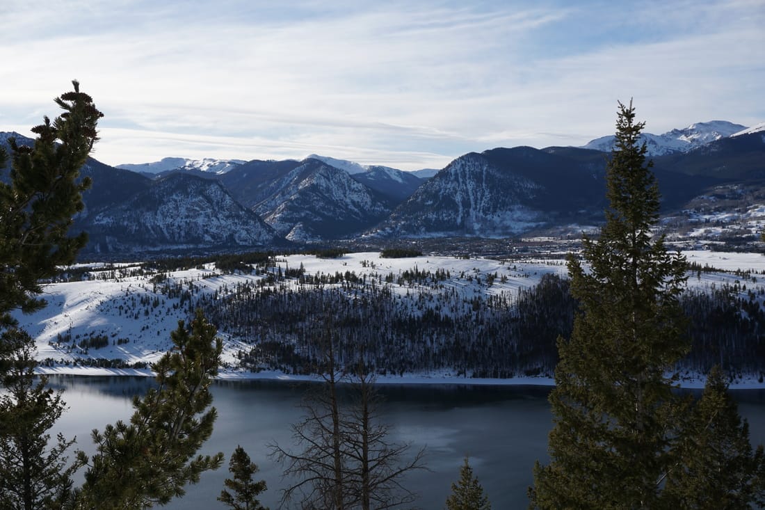
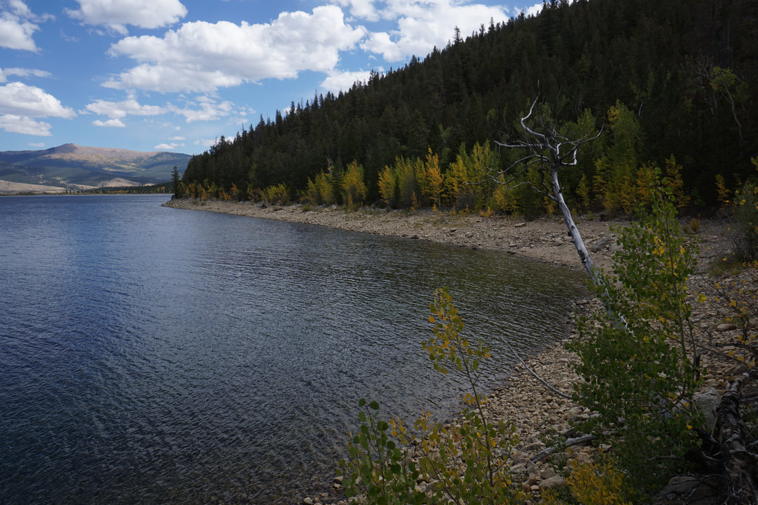
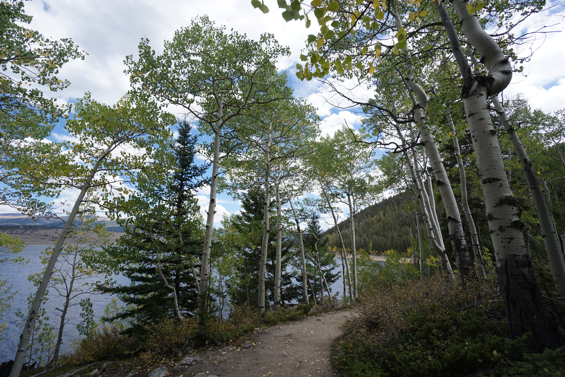
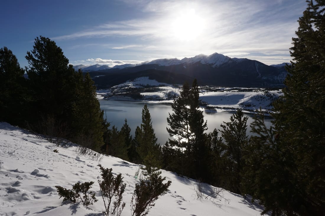
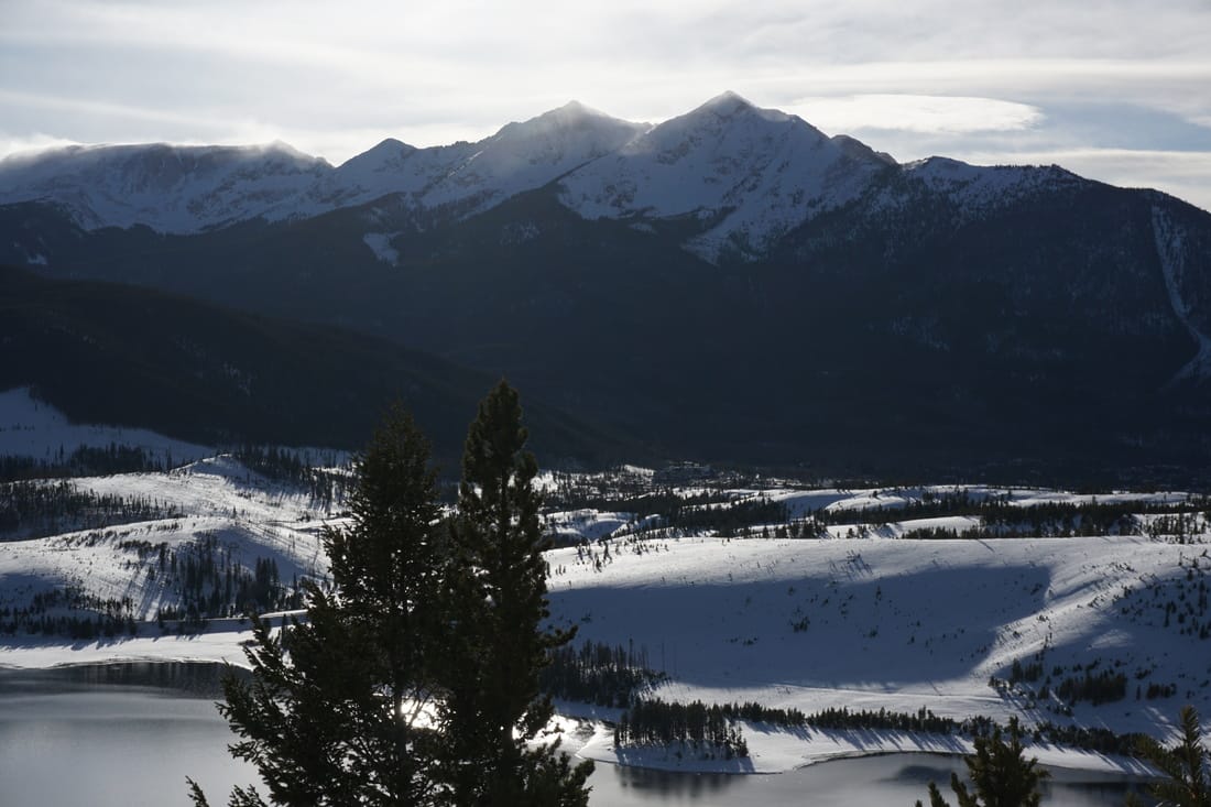
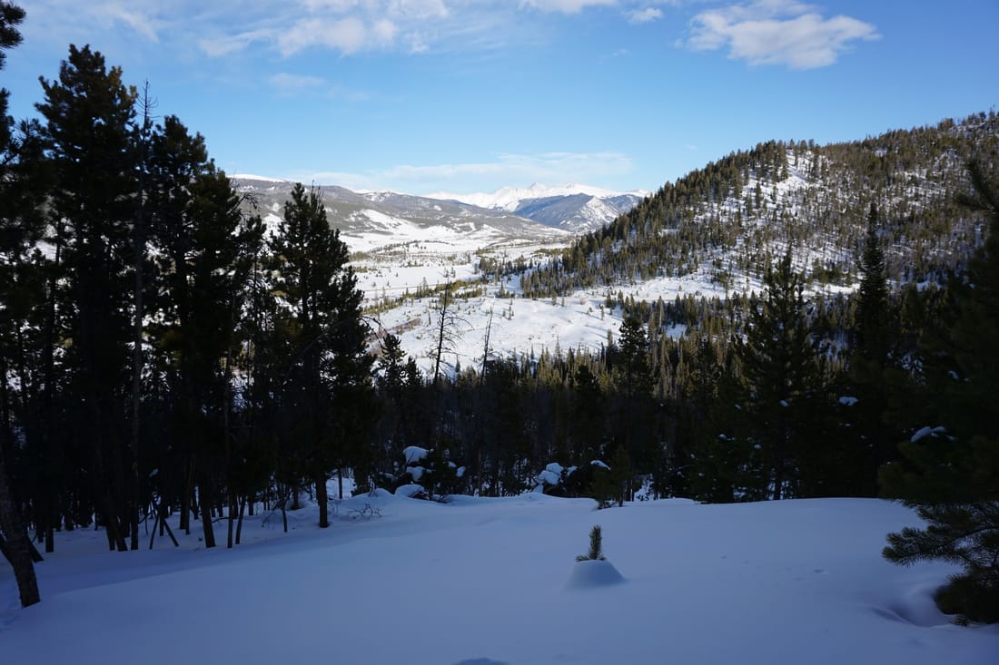
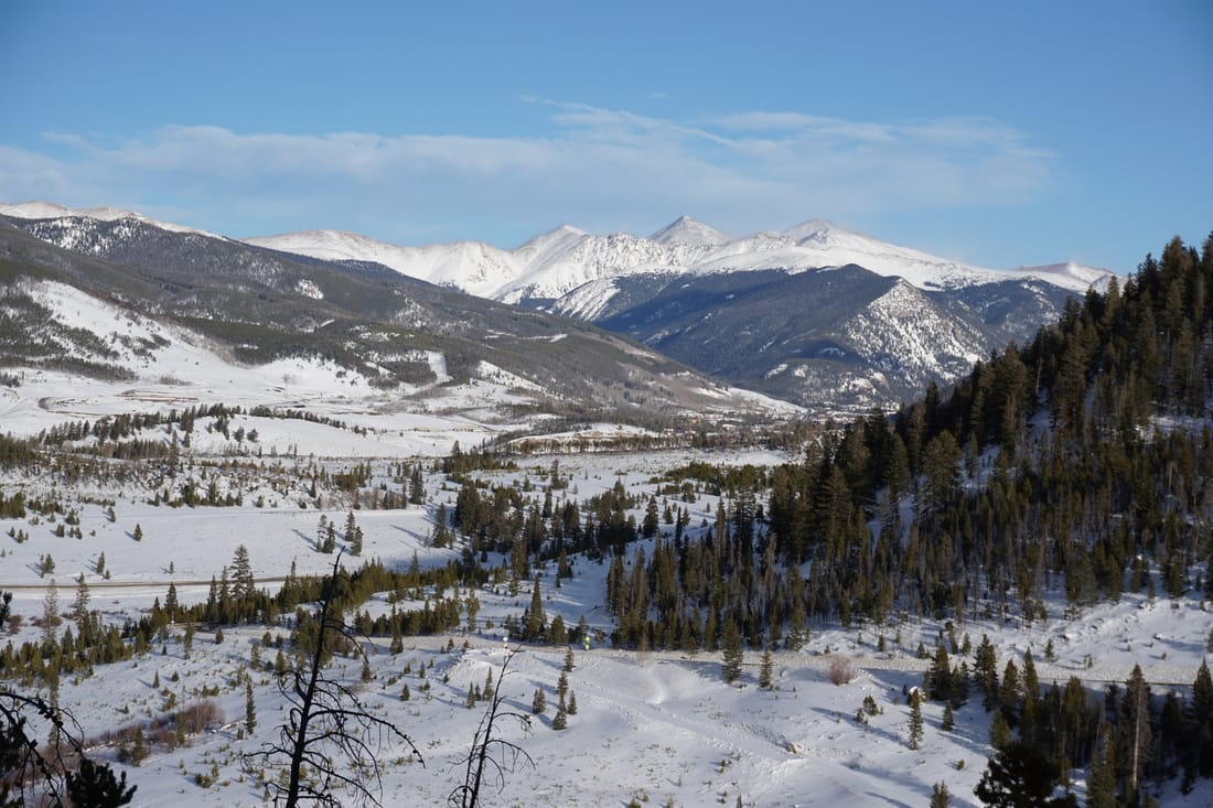
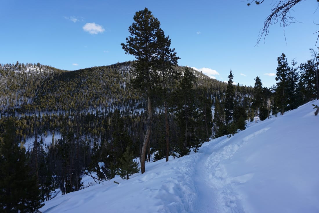
Sapphire Point is a peninsula jutting out from the south shores of Dillon Reservoir. The short .7 mile trail provides wonderful views of the Tenmile Range, the Gore Range, and the Front Range (especially Grays and Torreys Peaks) all rising behind the reservoir. The Sapphire Point Overlook is one of the most popular attractions in the area and is stunning at dusk or sunset. Considering how short and easy this trail is, it is surely one of those must do hikes in Summit County.
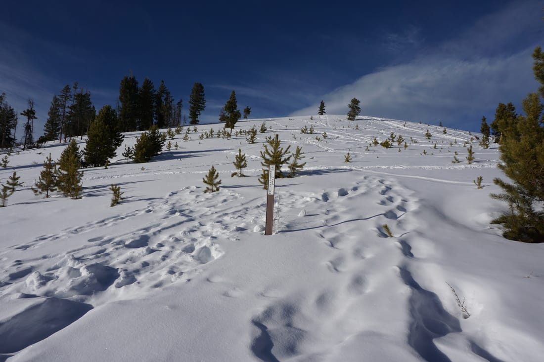
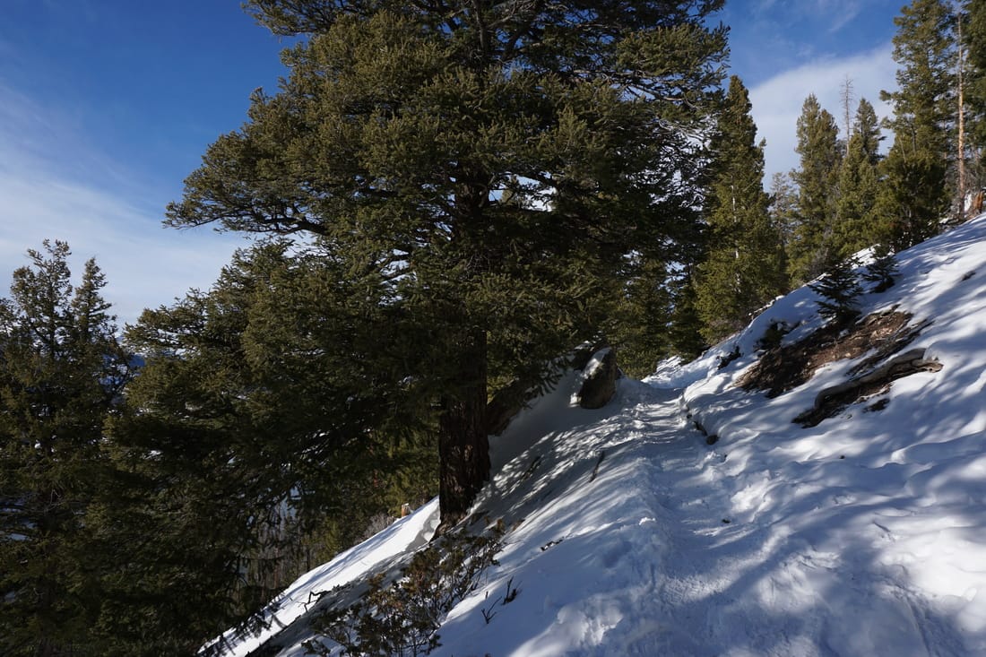
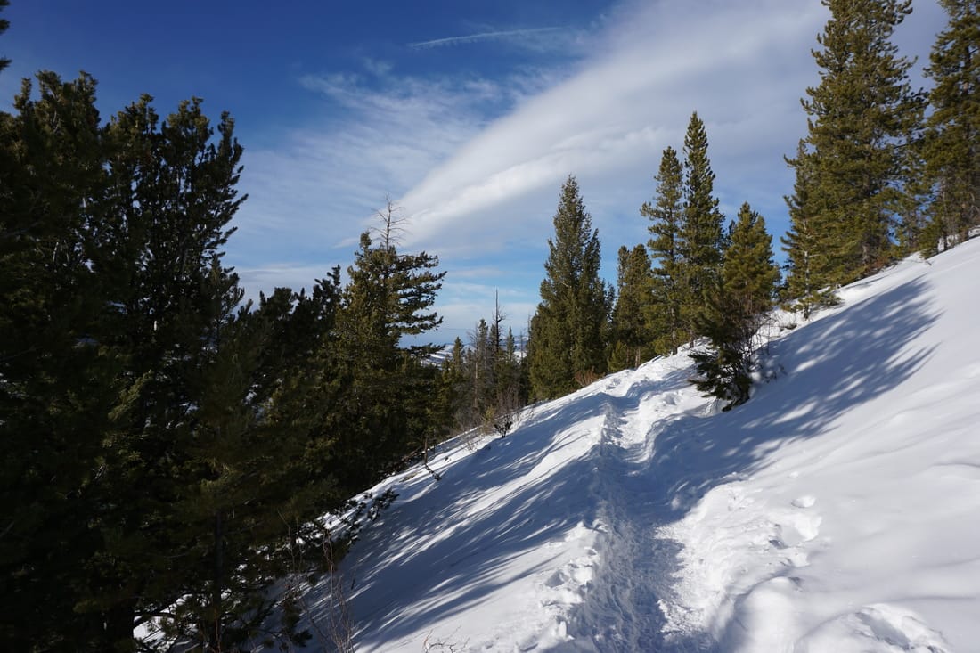
The trail is relatively flat and can be hiked in either direction. If you want to experience the overlook at the end of the hike, then start from the eastern end of the parking lot. There are also picnic benches about mid-way. This hike is great for a short walk, great for kids, and great for photography. |
|
- HOME
- ABOUT
-
HIKES BY REGION
-
NATIONAL PARK HIKES
- BENT'S OLD FORT NATIONAL HISTORIC SITE
- BLACK CANYON OF THE GUNNISON NATIONAL PARK
- COLORADO NATIONAL MONUMENT
- CURECANTI NATIONAL RECREATION AREA
- DINOSAUR NATIONAL MONUMENT
- FLORISSANT FOSSIL BEDS NATIONAL MONUMENT
- MESA VERDE NATIONAL PARK
- ROCKY MOUNTAIN NATIONAL PARK
- GREAT SAND DUNES NATIONAL PARK
- HOVENWEEP NATIONAL MONUMENT
- SAND CREEK MASSACRE NATIONAL HISTORIC SITE
- YUCCA HOUSE NATIONAL MONUMENT
- HIKES BY CATEGORY
- NEWS
- WEBCAMS
- $UPPORT GHC
- INTERACTIVE MAP
Sapphire Point
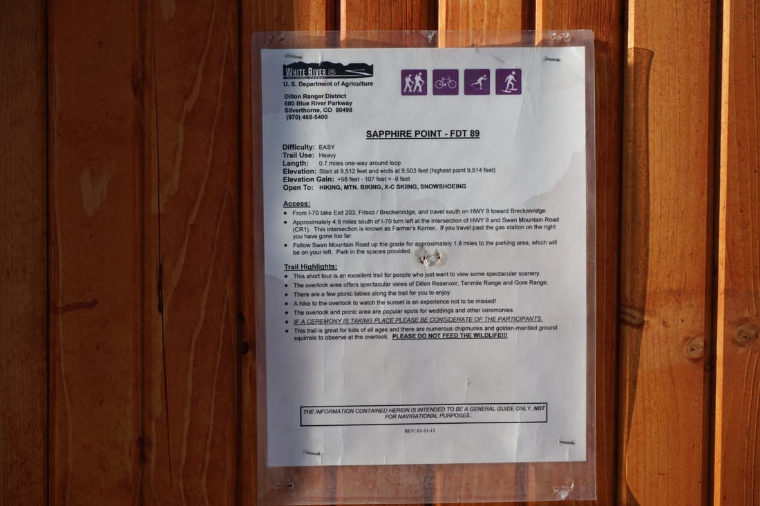
White River National Forest
Date Hiked: December 27, 2016
Distance: .7 mi (RT)
Elevation Gain: Minimal
Elevation Min/Max: 9,443 to 9,518 ft
Trailhead Lat/Long: 39º 35' 19" N; 106º 02' 40" W
Managing Agency: U.S. Forest Service
Fee: None