|
Directions: From Boulder Head south on Hwy 93 (From Denver head north on Hwy 93) and turn west onto Greenbriar Blvd. Follow Greenbrier past the school until you see the open space on your left. There are 3 trailheads along this road and you want the 3rd. Once Greenbriar becomes Lehigh Street, the road will divide with a sign in the middle for the Shanahan Ridge Neighborhood. The trailhead is just across the street. Park on Lehigh but please be respectful of the residences and the neighborhood.
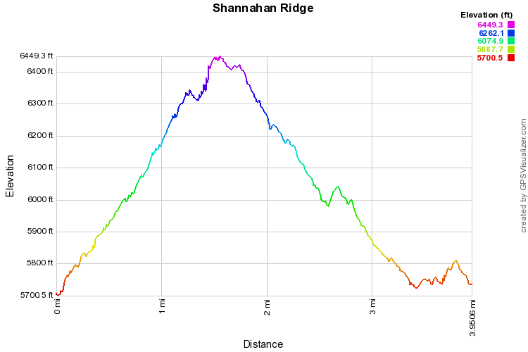
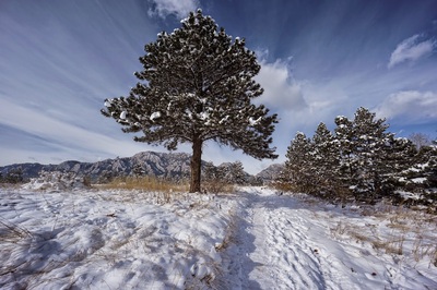
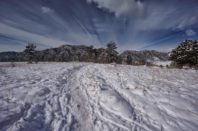
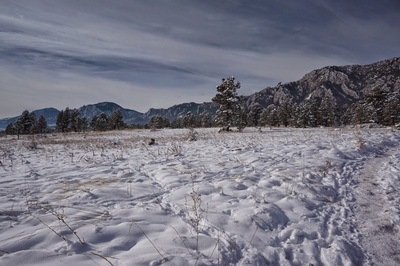
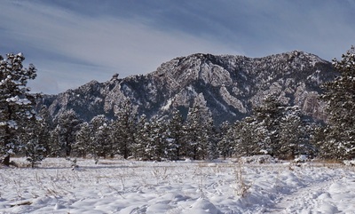
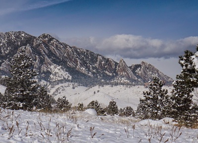
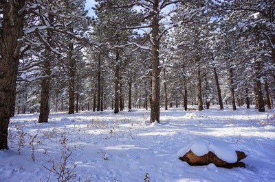
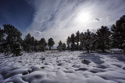
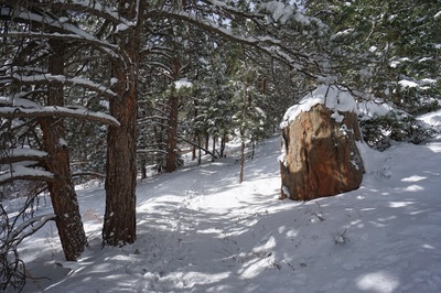
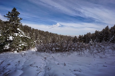
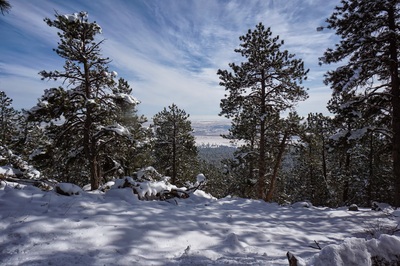
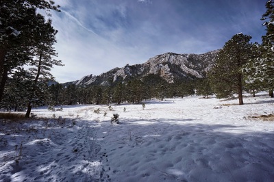
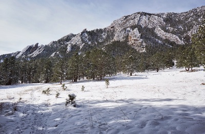
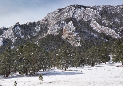
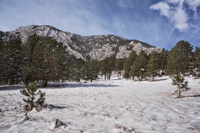
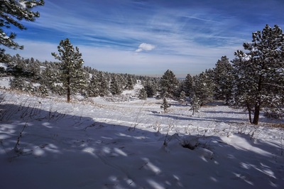
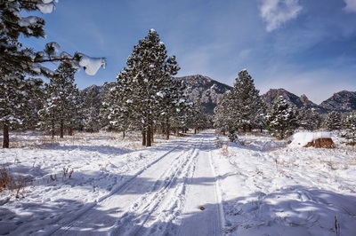
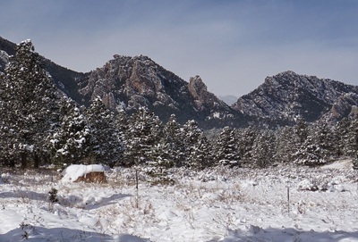
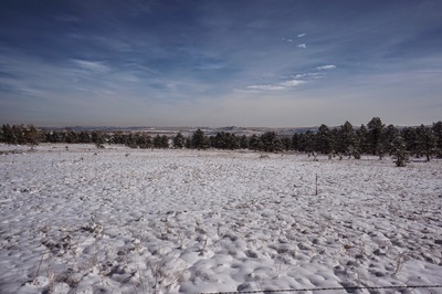
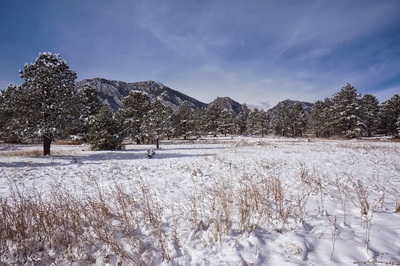
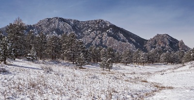
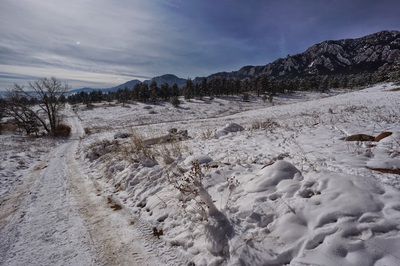
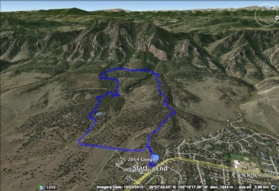
Shanahan Ridge is a lesser known loop in between the popular NCAR area and South Boulder Creek Trails. The hike rises steadily through beautiful evergreen forest to the Mesa Trail at the base of Bear Peak with great views of the surrounding foothills. On this particular Friday we had the first sunny day since the first snow of the year, and it was COLD, but amazingly beautiful. In the winter the trail is easy to follow as the snow is pretty well packed down and the trees look like something out of a Christmas Special. The flatirons and rock faces of Bear Peak were crystalized with ice and snow making for a truly surreal landscape. From the access trail you pick up the North Fork Shanahan Trail. The trail is a wide dirt road which makes it very easy to follow. After about .8 of a mile you'll reach a trail kiosk for the Shanahan Ridge Area. Head to the right of the sign for the North Fork Trail. Continue up through the forest (with intermittent views) for another .5 mile until you reach the 4 way intersection with the Mesa Trail. Turn left here and head down into the gully. The trail rises across the opposite side, re-enters the woods and continues for about .5 mile to the South Fork Shanahan Ridge Trail. Before you reach the South Fork Trail, you'll come to an amazing meadow with staggering views of Bear Peak and Devil's Thumb. Turn left onto the South Fork trail and in .7 miles you'll come to an intersection in a picturesque clearing. Turn left here takes you back to the North Fork Trail and turning right continues on the South Fork Trail...continue right. After about another .7 miles of beautiful forest the trail will intersect a dirt road with a water tank to your left. Bear right here and follow the road east until it curves around to the north. You'll see some even more incredible views here and another trail Kiosk. Continue another .4 miles back to the access trail. It gets a bit confusing here since there are 3 separate access trails but remember the one that you started on, and you'll be fine. |
- HOME
- ABOUT
-
HIKES BY REGION
-
NATIONAL PARK HIKES
- BENT'S OLD FORT NATIONAL HISTORIC SITE
- BLACK CANYON OF THE GUNNISON NATIONAL PARK
- COLORADO NATIONAL MONUMENT
- CURECANTI NATIONAL RECREATION AREA
- DINOSAUR NATIONAL MONUMENT
- FLORISSANT FOSSIL BEDS NATIONAL MONUMENT
- MESA VERDE NATIONAL PARK
- ROCKY MOUNTAIN NATIONAL PARK
- GREAT SAND DUNES NATIONAL PARK
- HOVENWEEP NATIONAL MONUMENT
- SAND CREEK MASSACRE NATIONAL HISTORIC SITE
- YUCCA HOUSE NATIONAL MONUMENT
- HIKES BY CATEGORY
- NEWS
- WEBCAMS
- $UPPORT GHC
- INTERACTIVE MAP
Shanahan Ridge
Boulder Mountain Park
Date Hiked: November 14, 2014
Distance: 4 mi (RT)

