|
|
|
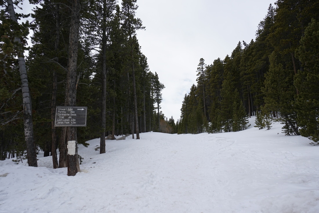
Directions: From I-70, take the Fall River Road exit towards St. Mary's/Alice. Follow Fall River Road for about 8.4 miles and turn left onto Alice Road. Stay on Alice road, past a few intersections and at 1.1 miles, look to the right for the rocky Forest Service Road 7011. There will be a wooden sign on a tree pointing to Loch Lomen (wrong spelling) and James Peak. Park here off the side of the road. You can continue up the Forest Service Road all the way to the Loch, but the road is in pretty bad shape these days. If you have a Jeep or a good clearance 4WD you'll be fine, but SUVs and Subarus may have a hard time.
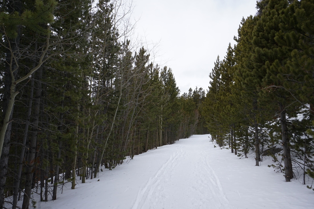
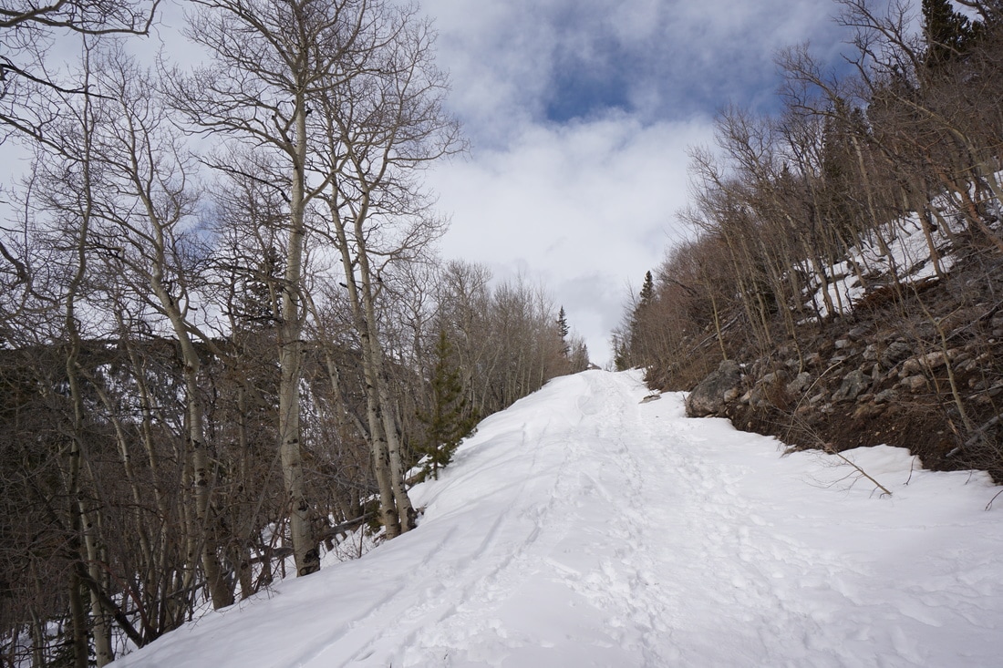
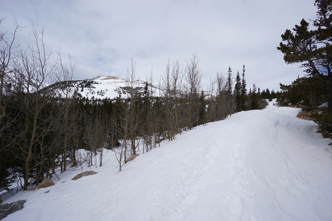
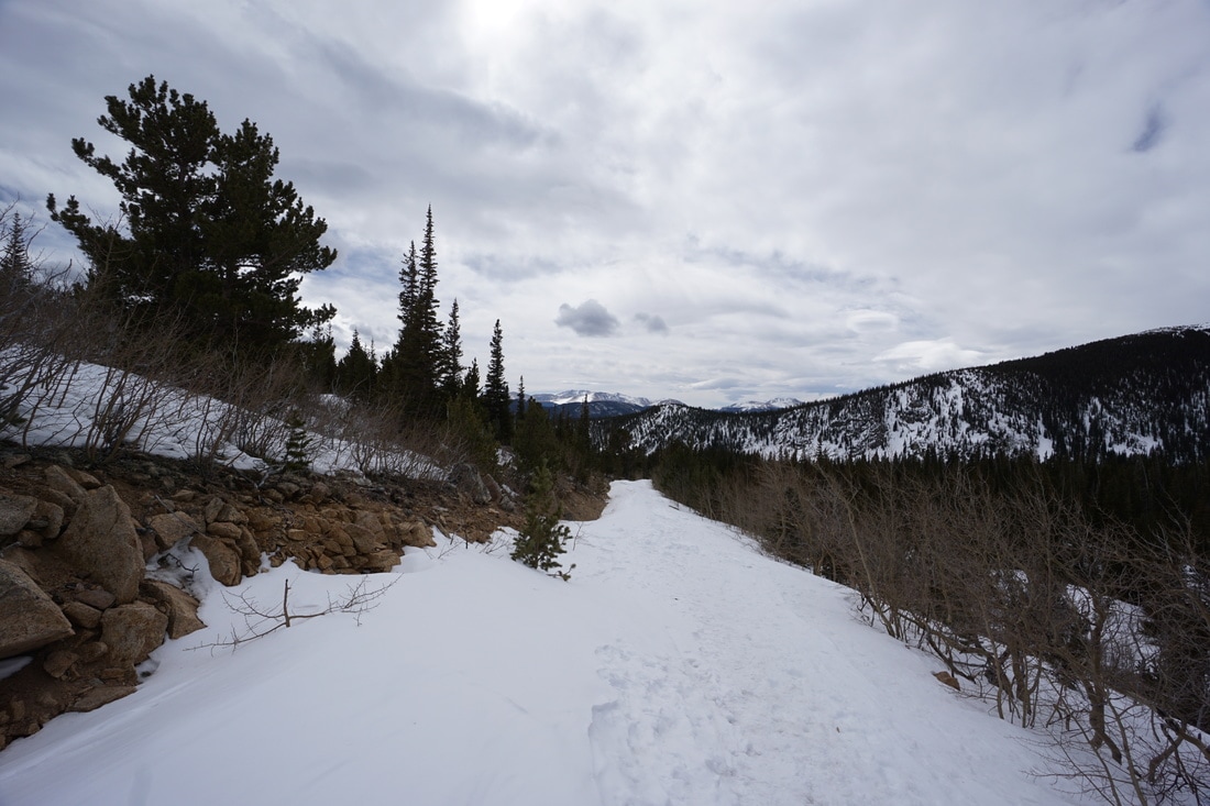
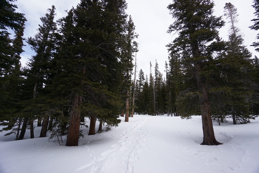
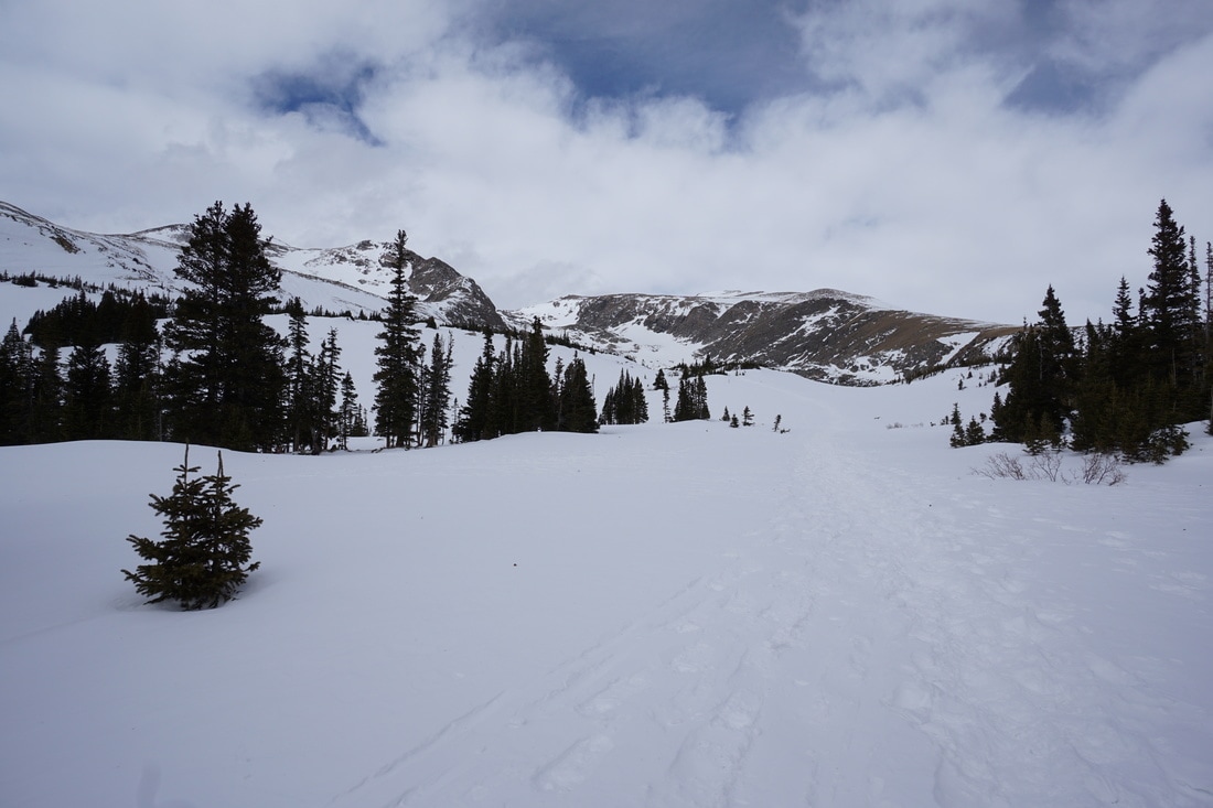
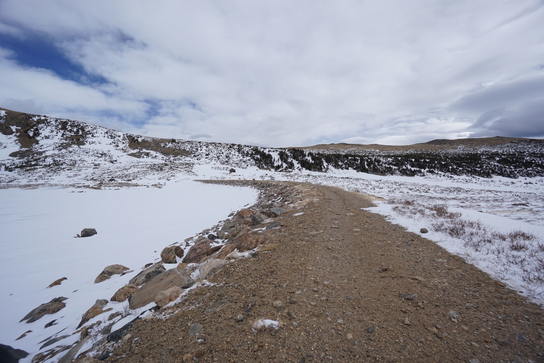
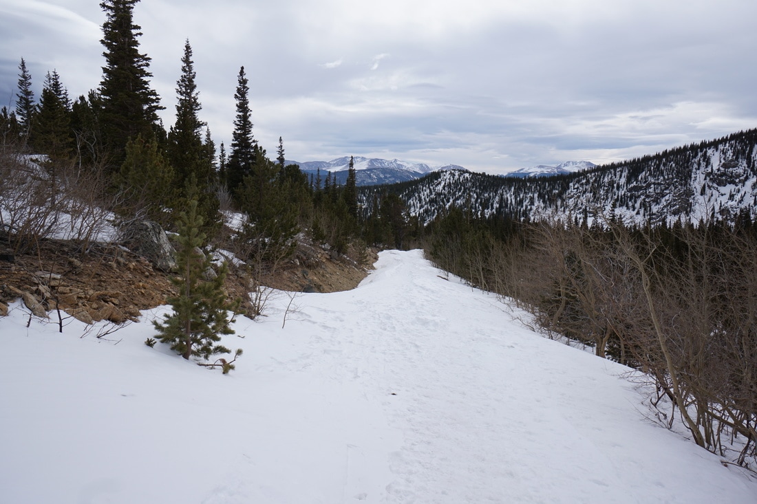
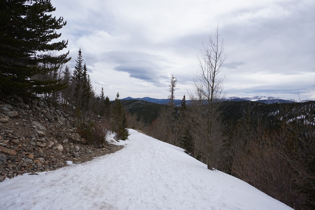
The Jeep road (Steuart Road/Forest Road 7012) up to Loch Lomond is a very popular ORV trail in the summer and fall but in the winter the road becomes a non-motorized winter recreation hot spot. The road is perfect for snowshoeing or winter hiking and is usually packed down to the point that you can probably get away without snowshoes, at least until you reach the basin for Loch Lomond.
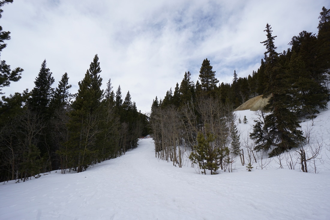
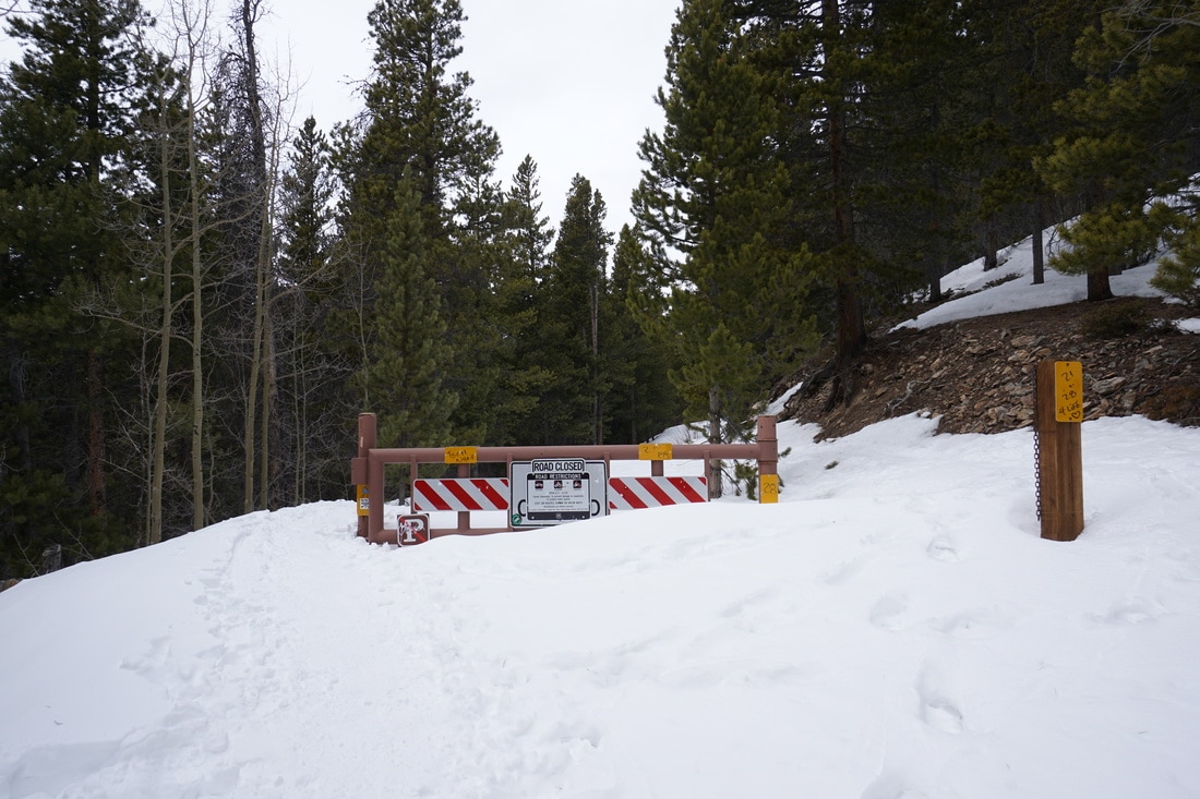
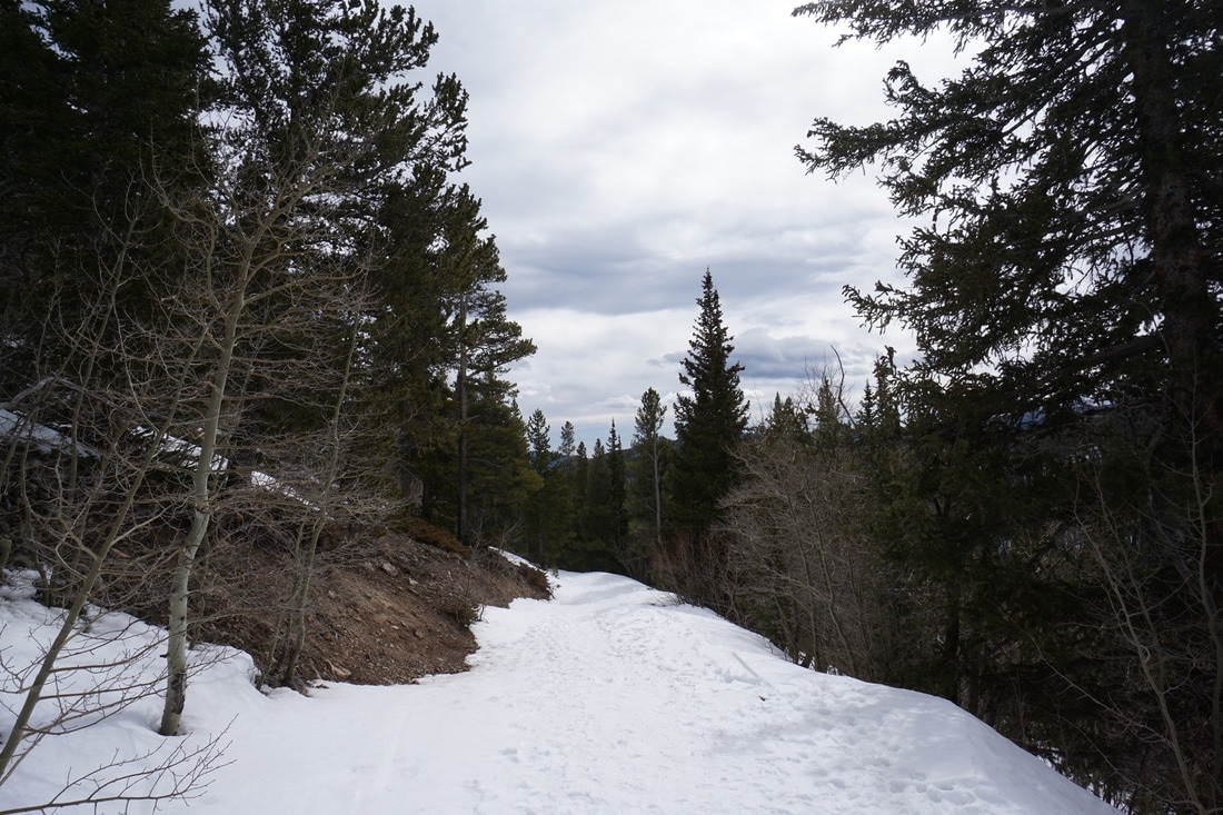
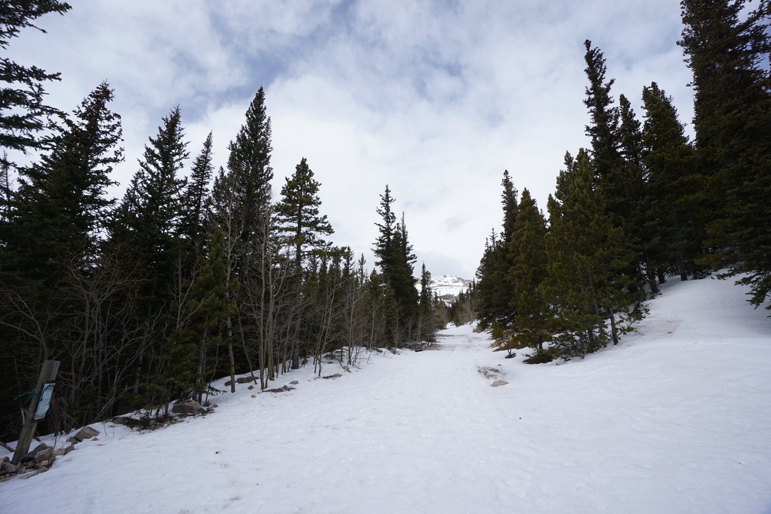
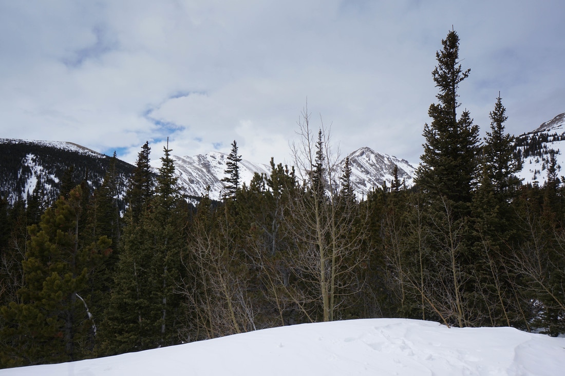
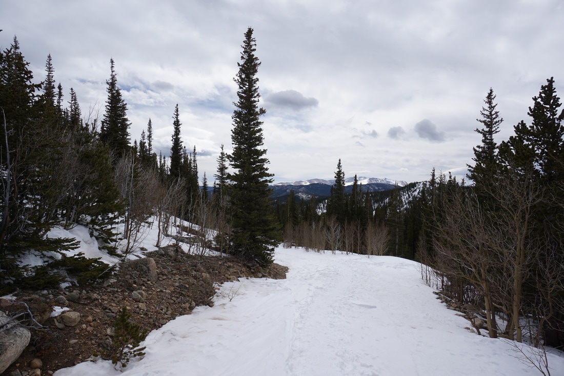
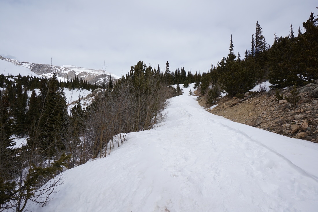
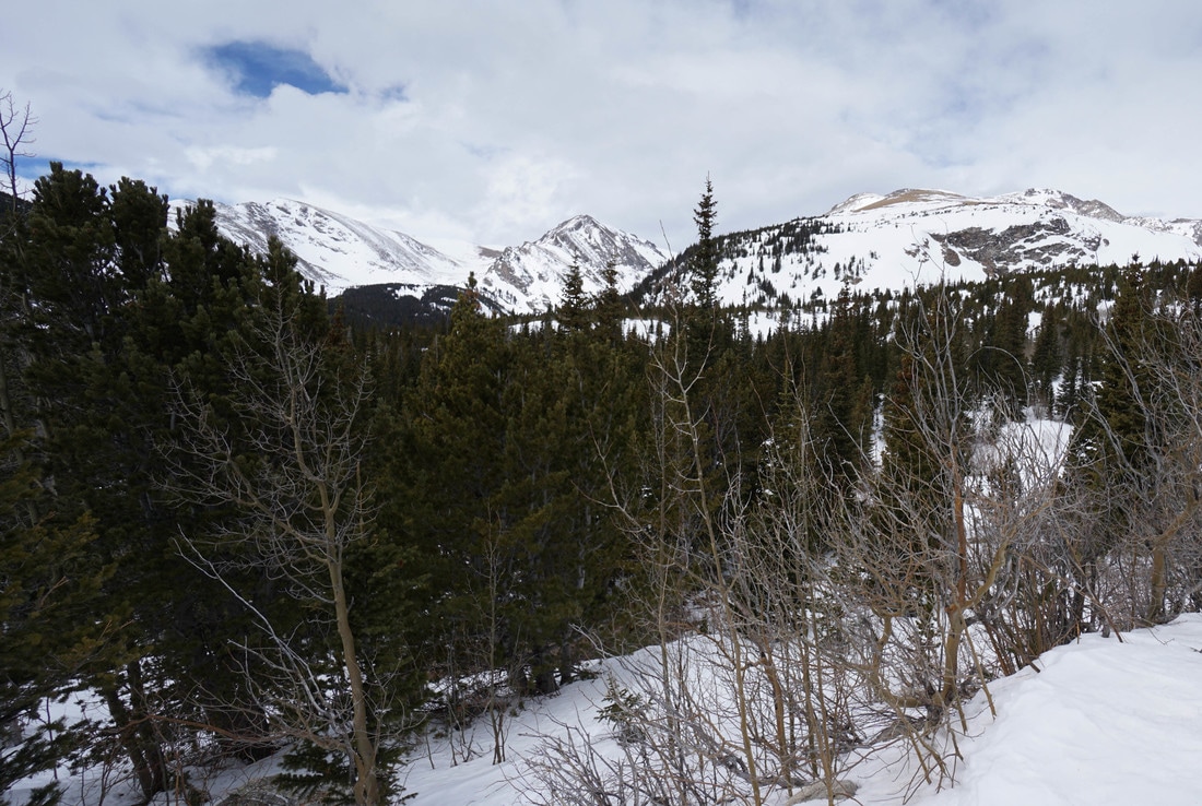
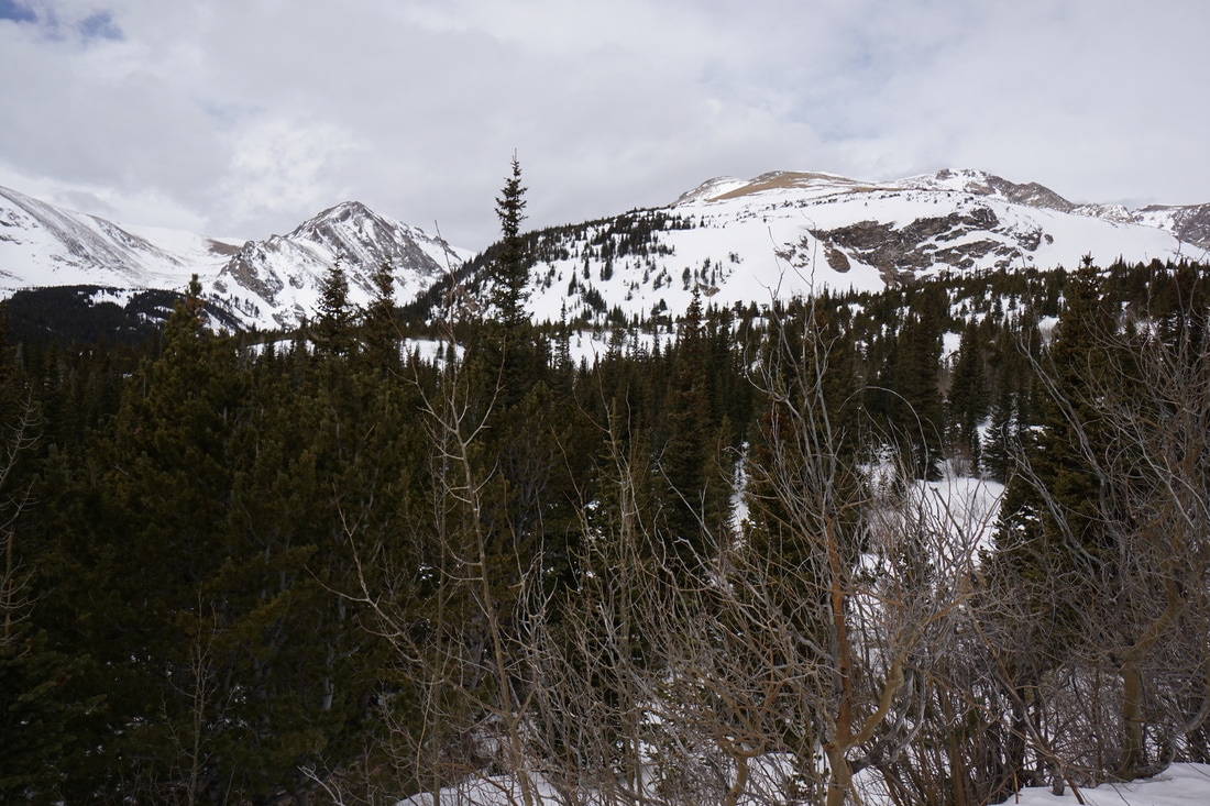
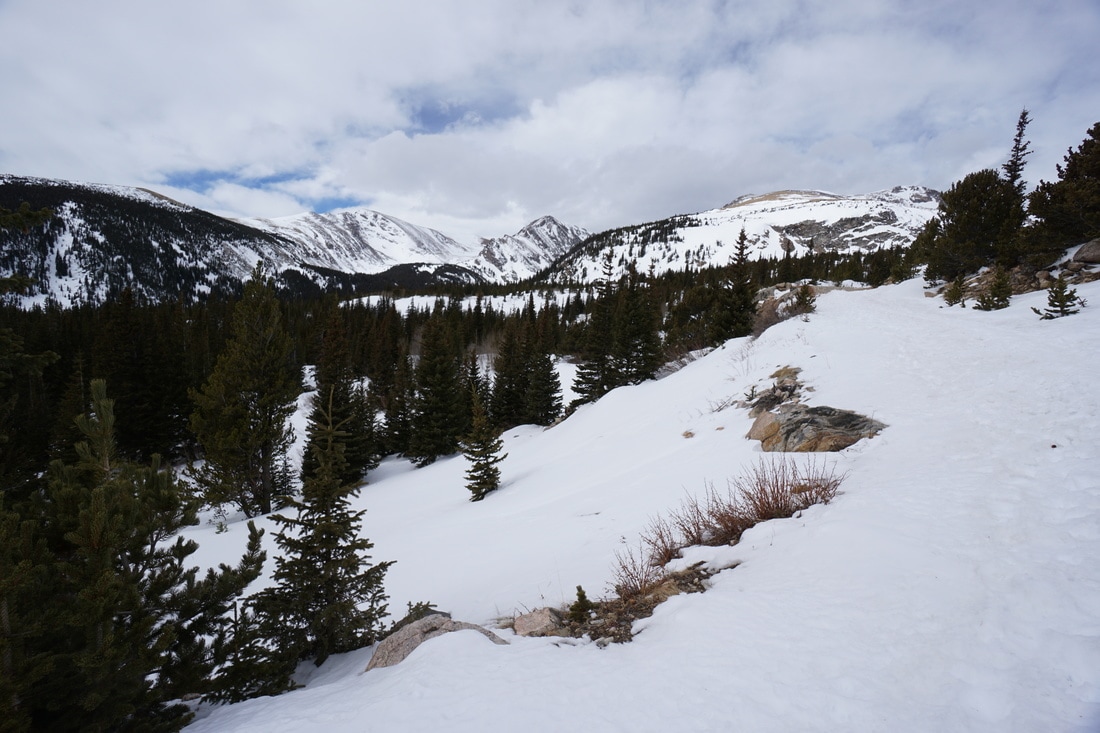
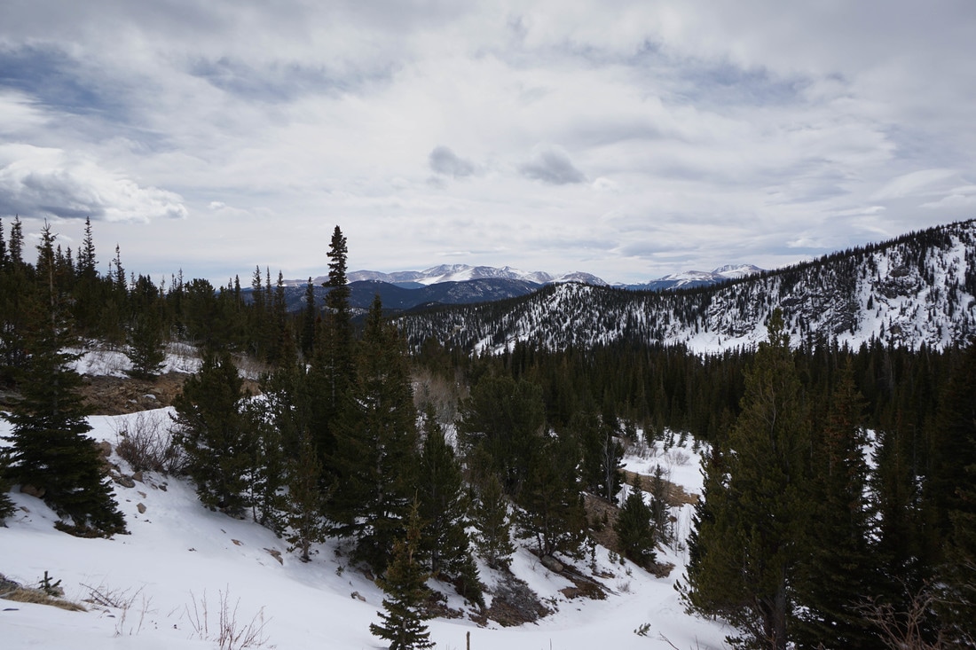
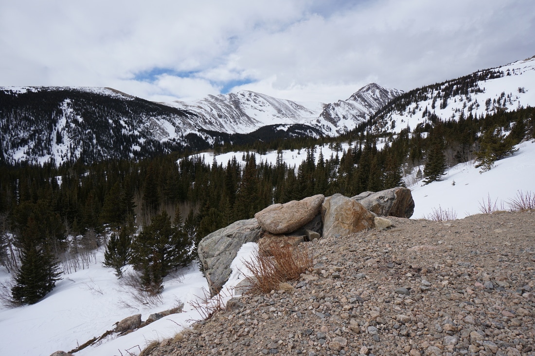
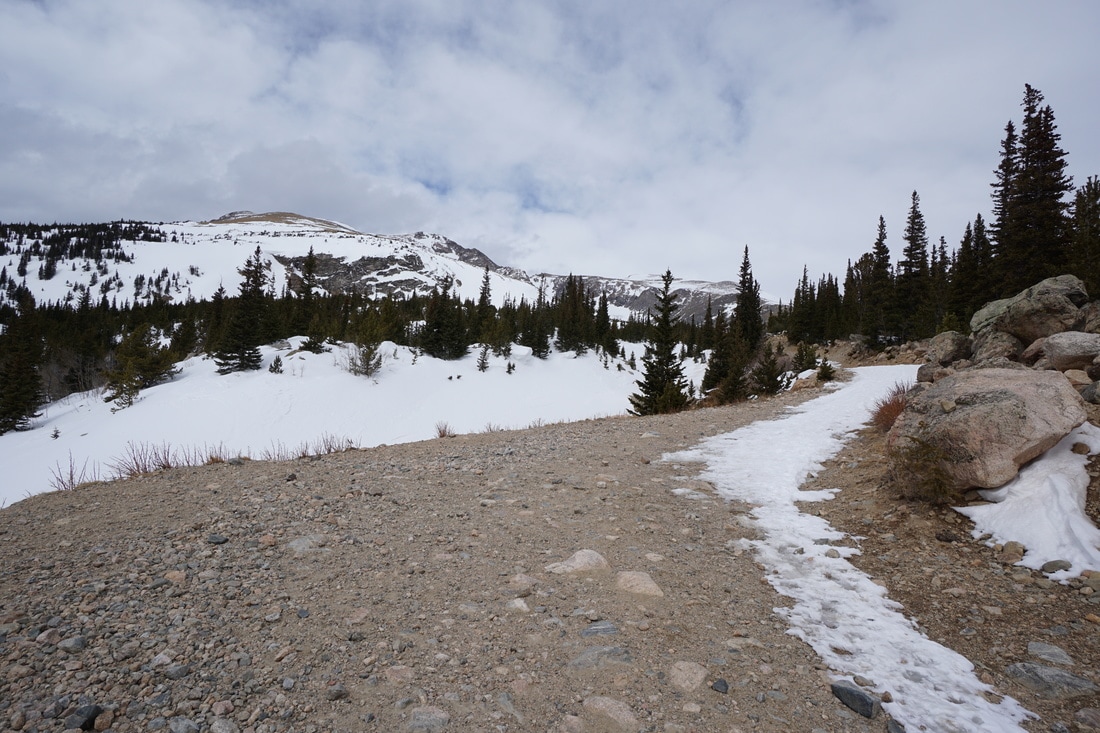
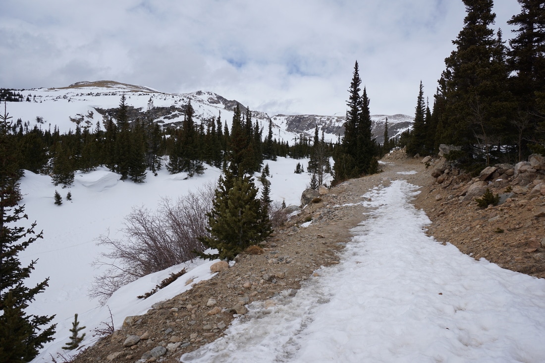
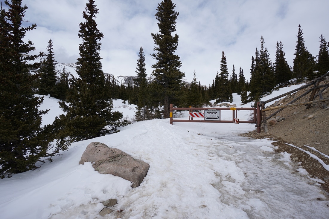
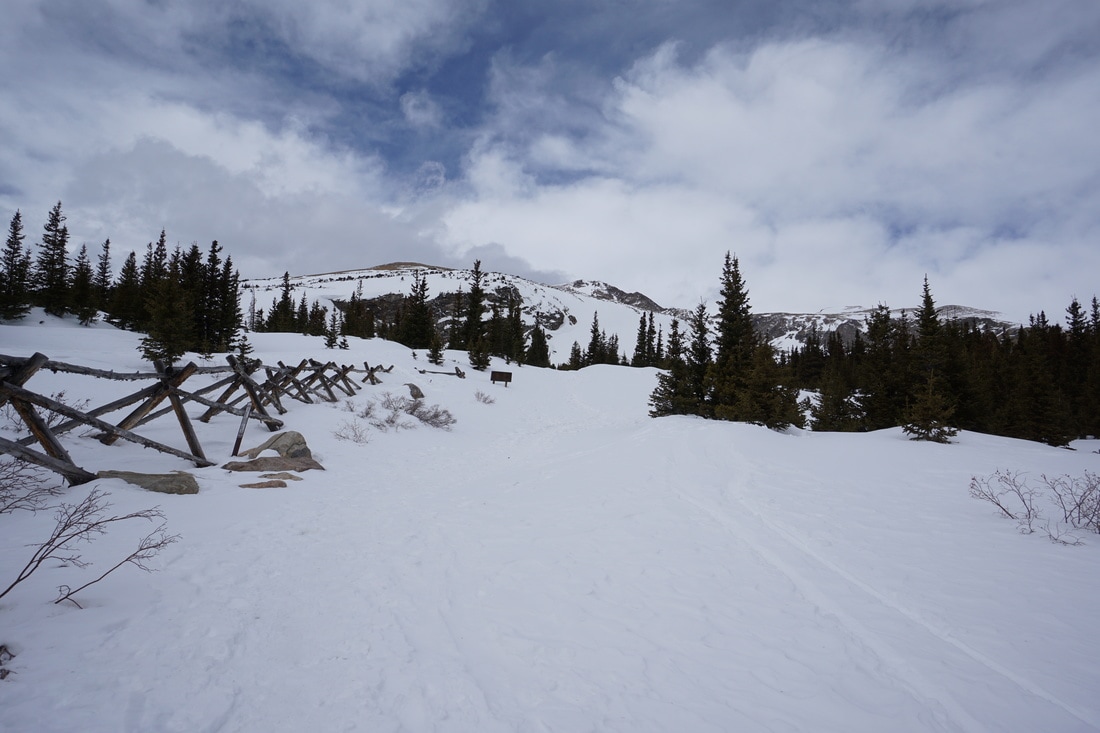
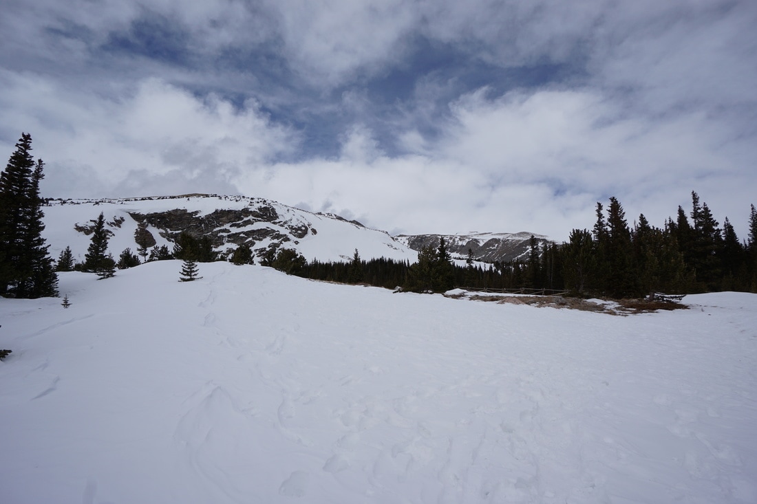
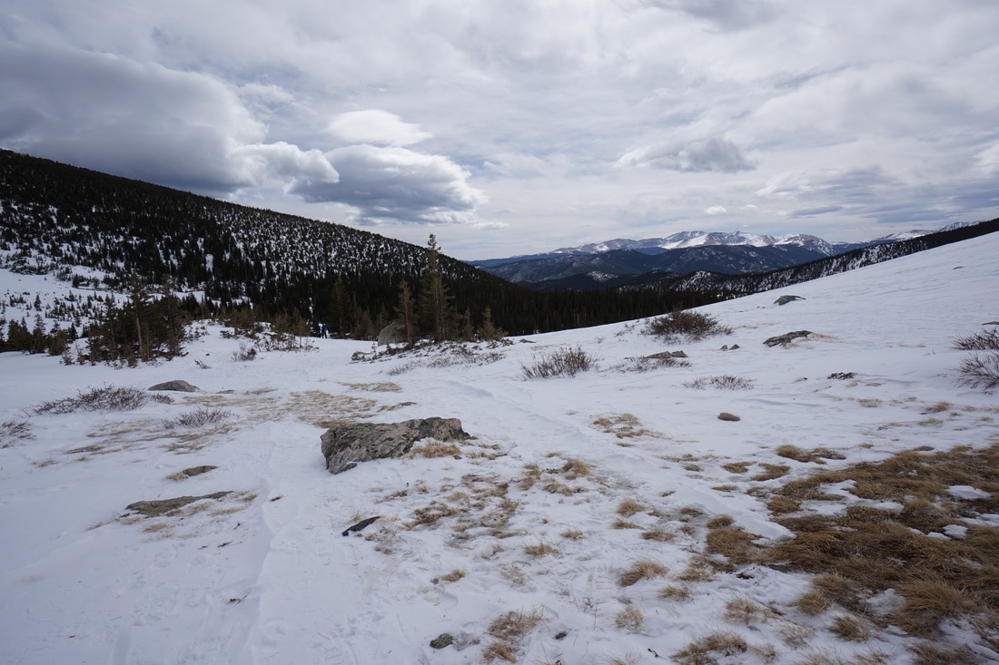
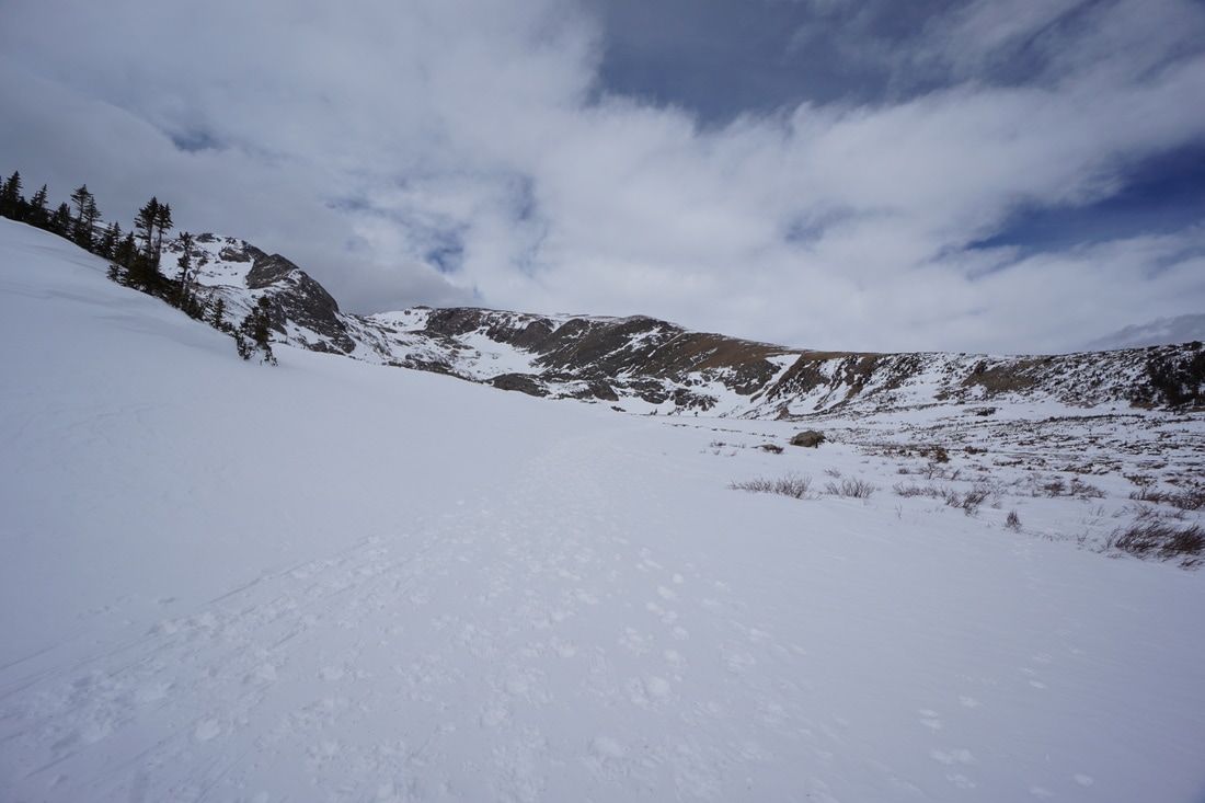
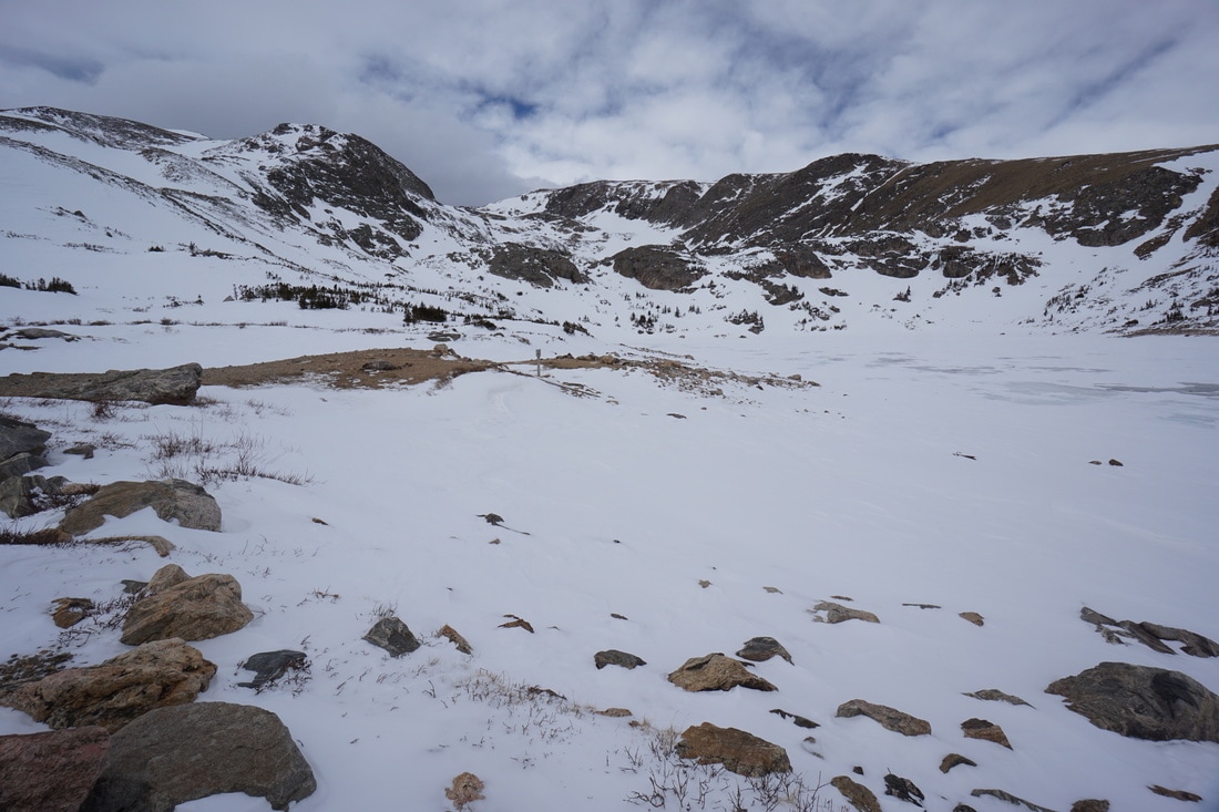
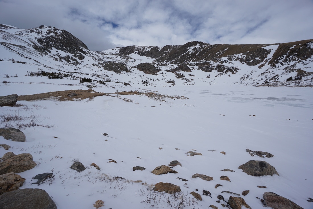
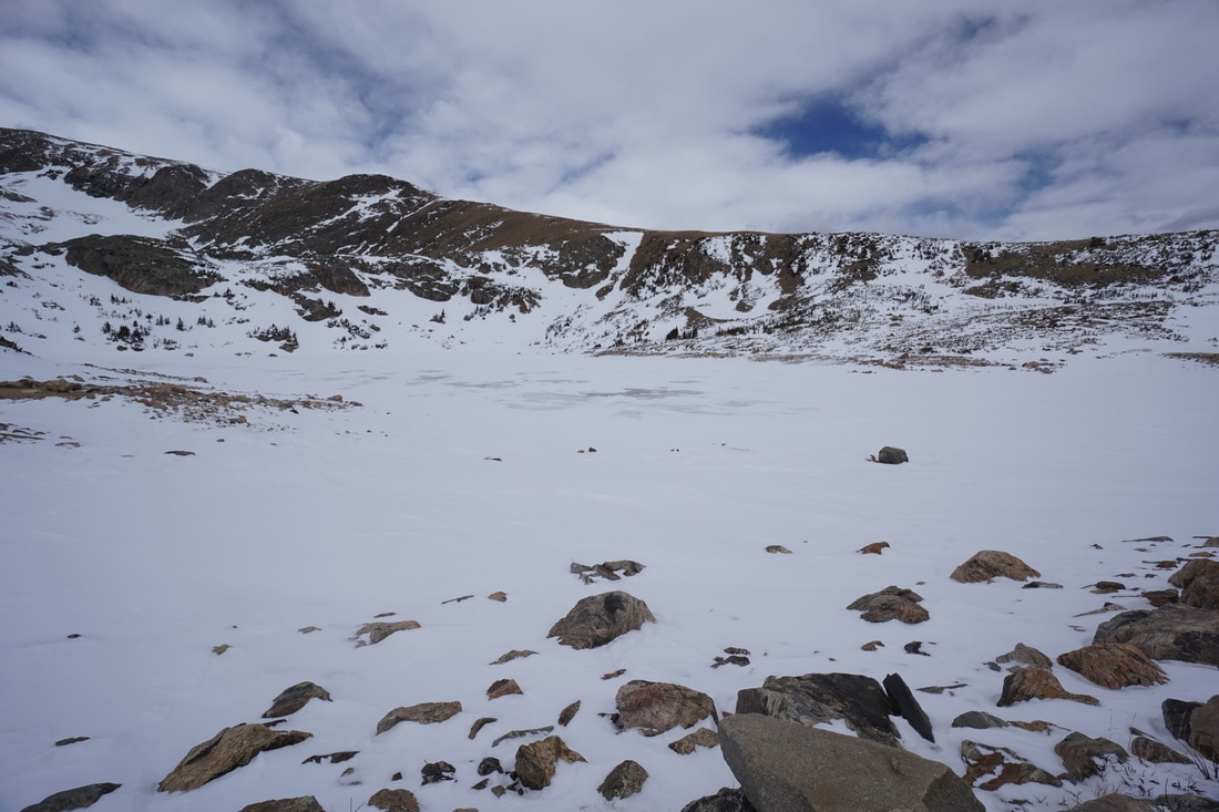
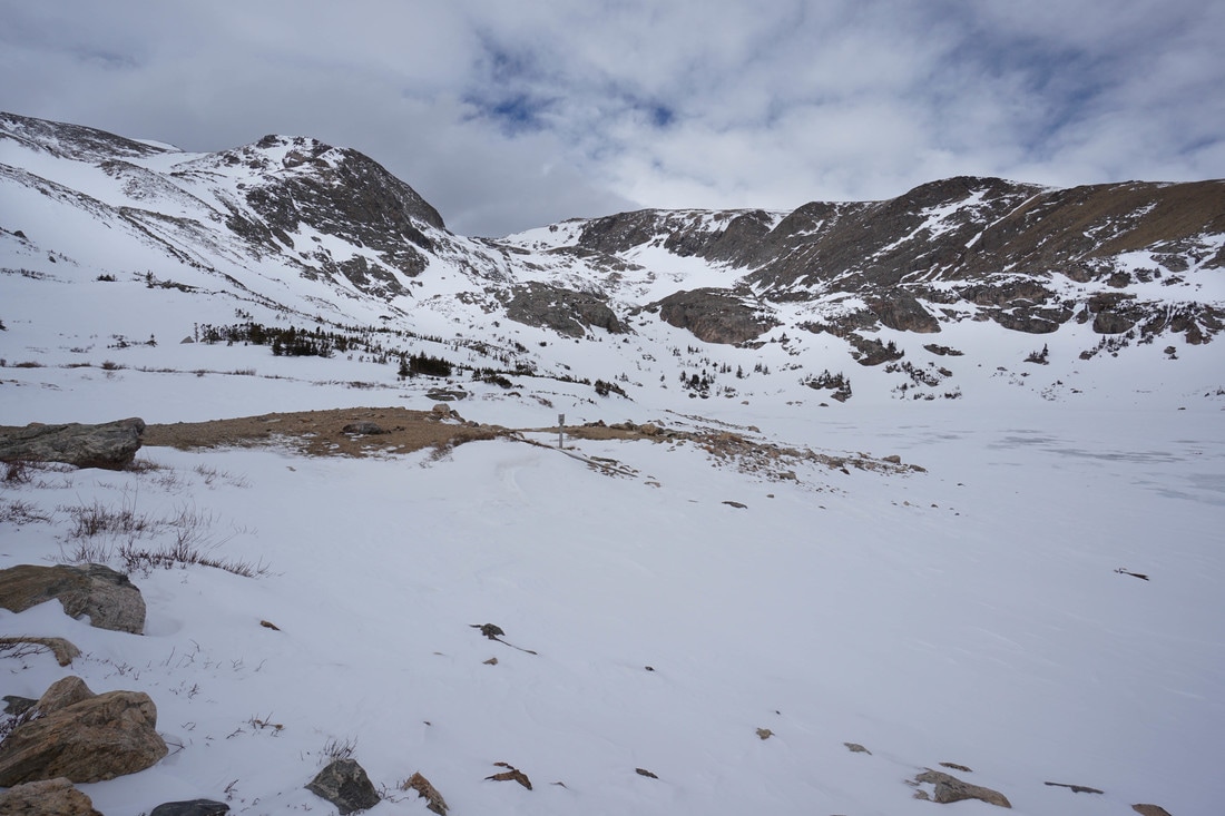
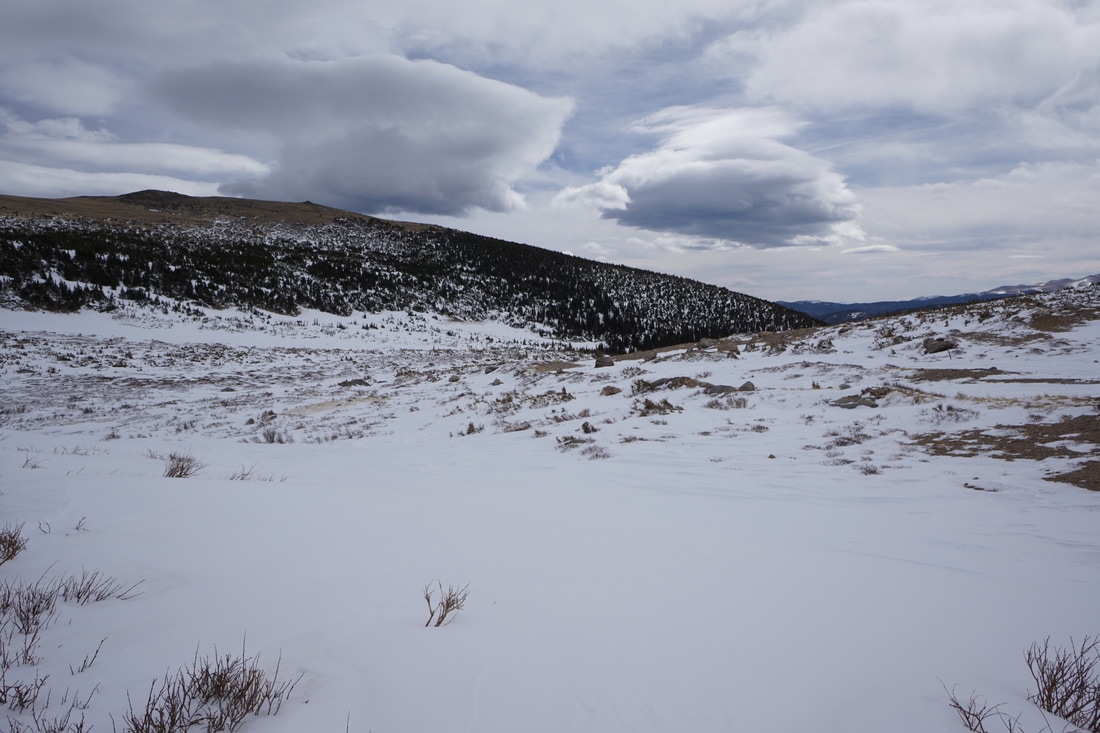
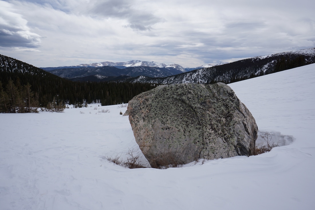
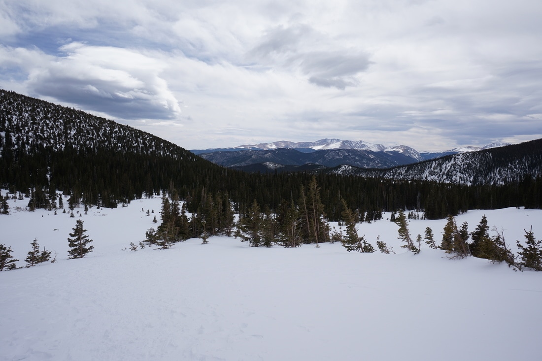
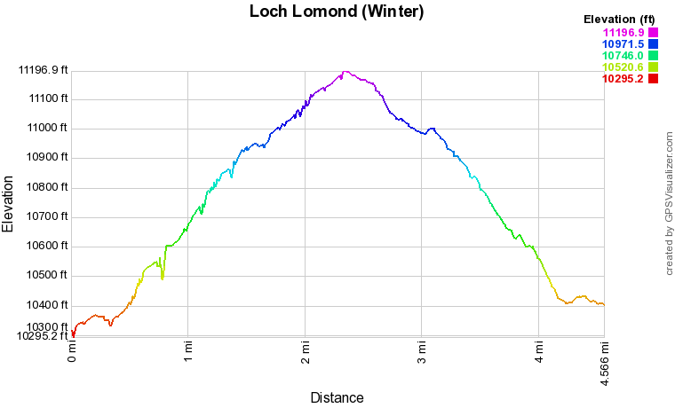
The road starts off in dense pine forest. You'll pass a closed gate at .3 miles and reach the intersection with the Continental Divide Trail at .7 miles. After a few more turns the forest thins and the mountain views begin. The views from the road are fantastic. James Peak, Parry Peak and Mt. Eva are laid out in front of you and behind you are great views of the Evans/Bierstadt Massif and Square Top Mountain to the west. The road continues to the second gate closure and the snow gets substantially deeper past the gate. The landscape widens and you'll weave through more Pine forest until you emerge into the wide open basin. From here the trail gets harder to follow, especially if you hike just after a storm that erases the tracks of past hikers. If you can't find your way, just follow the stream bed, you can't miss the Loch. From the Loch walk along the dam for the best views before retracing your steps back to the road. This trail is a wonderful way to get comfortable with snowshoeing and winter backcountry travel. As long as you follow the road the avalanche danger is minimal and the grade never gets too steep. The views are fantastic and Loch Lamond itself is a perfect destination. |
|