|
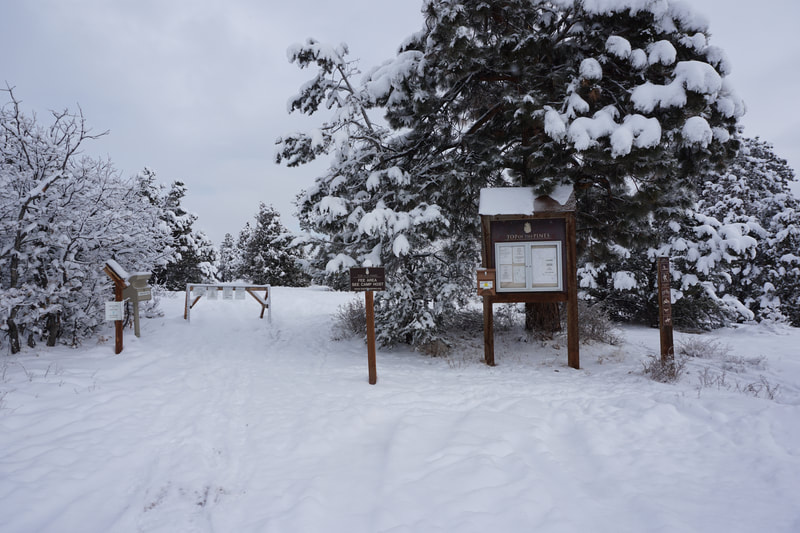
DIRECTIONS: From Downtown Ridgway, follow 62 to the west end of town. Turn left (south) on Amelia Street and right (west) onto County Road 5. Follow County Road 5 (nicely plowed, but still snowy/icy in the winter) for 4 miles. Turn right at the Top of the Pines sign, and follow the narrow snowy road for half a mile to the trail access parking area. There is trail information and a self pay station at the trailhead.
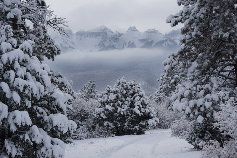
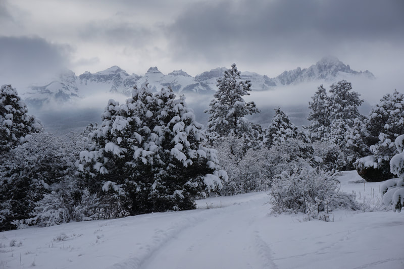
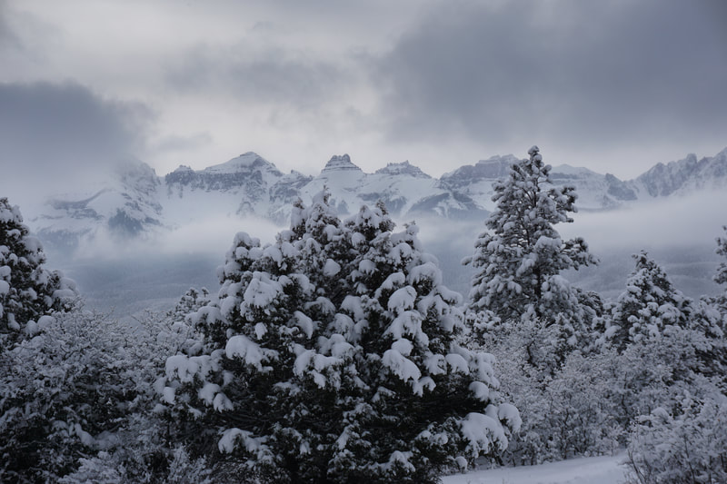
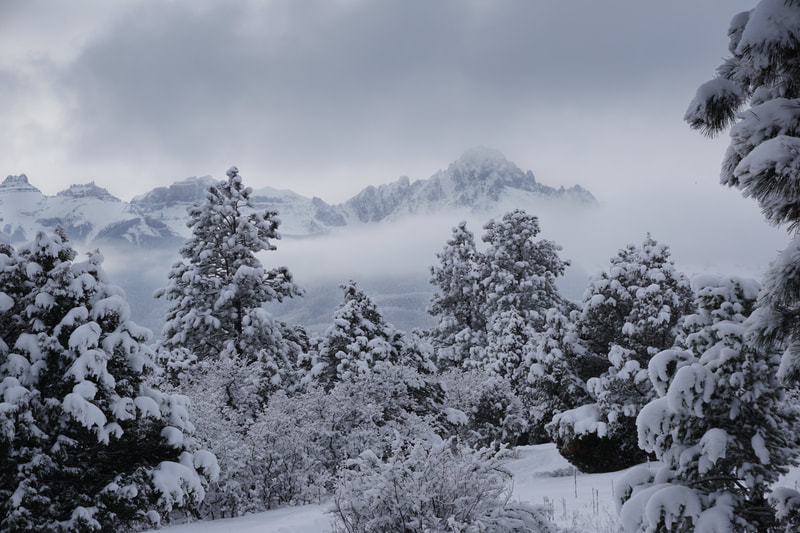
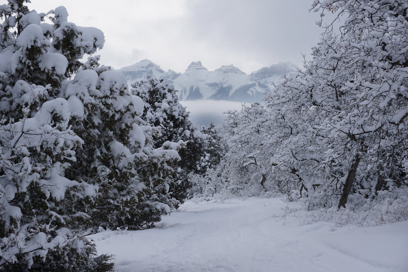
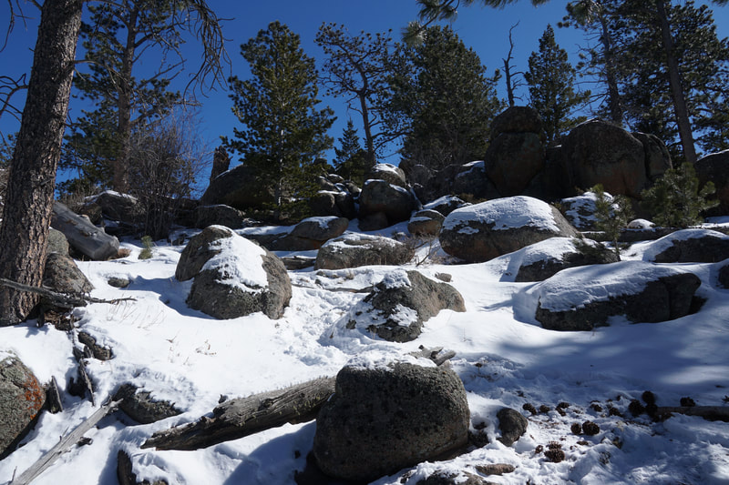
If you are looking for a winter wonderland in which you can snowshoe and nordic ski that just so happens to have amazing views of Mt. Sneffels and the Sneffels Range, then look no further than the Top of the Pines Preserve. The preserve is located about 5 miles southwest of downtown Ridgway and has ski and snowshoe trails that are groomed in the winter. However, this is not your typical nordic ski area, with few facilities, this preserve feels much more like a wilderness area than a nordic park...in other words...perfect.
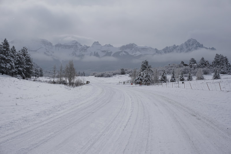
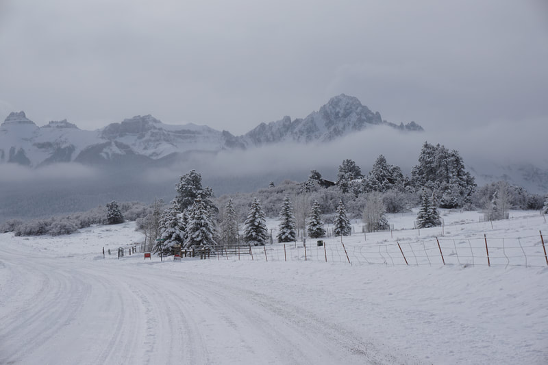
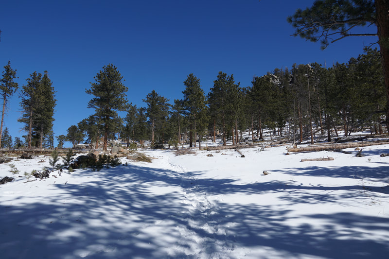
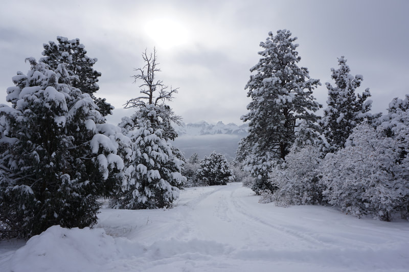
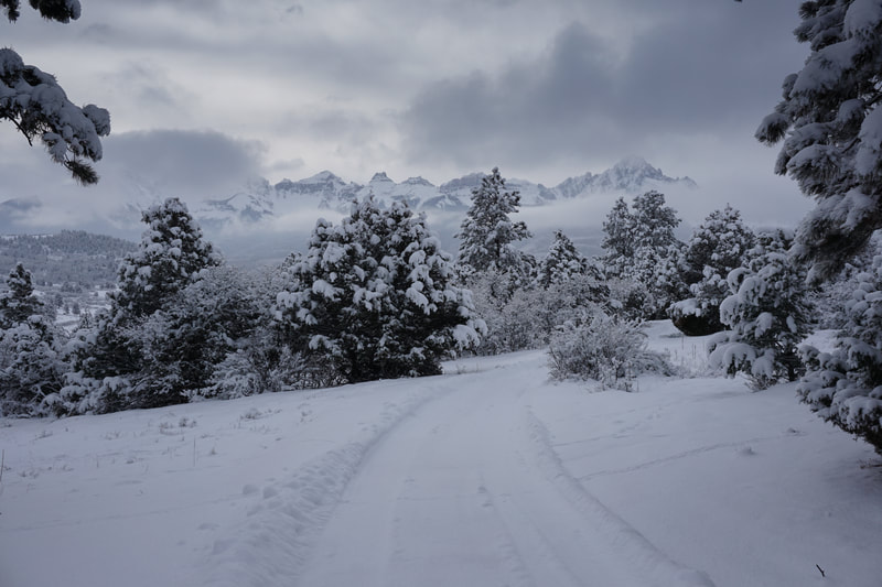
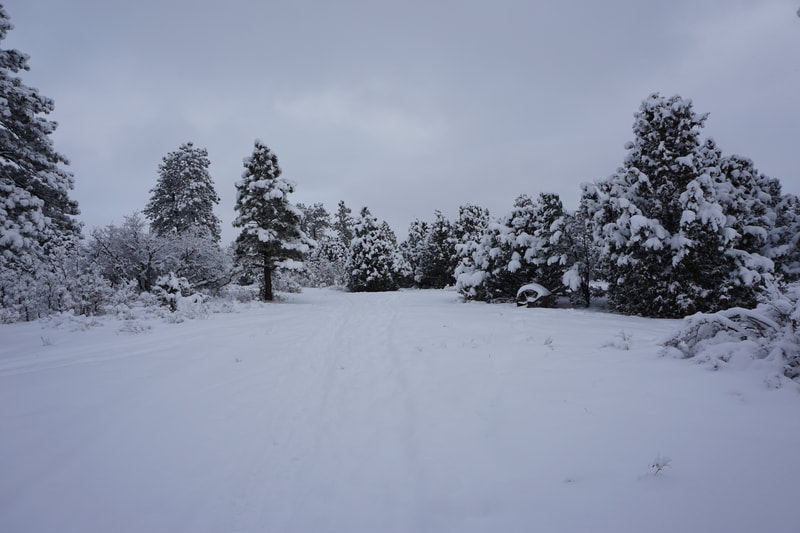
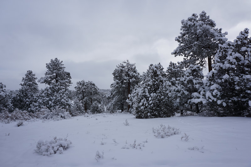
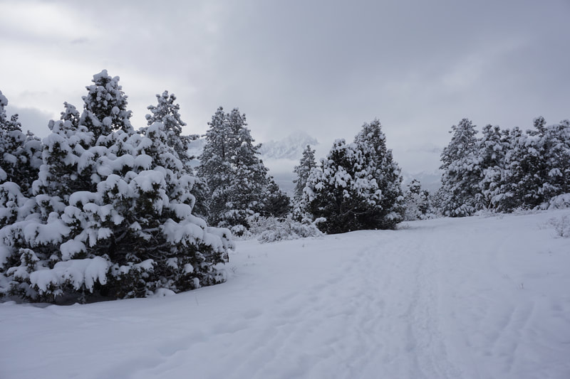
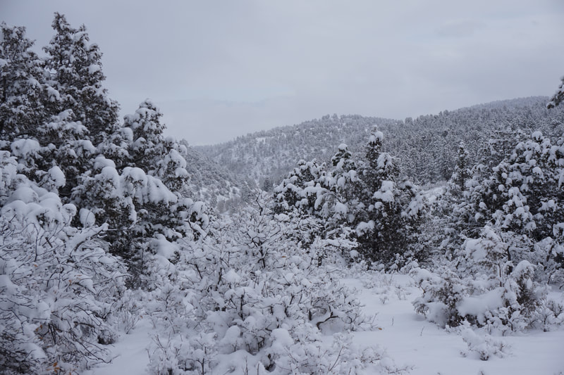
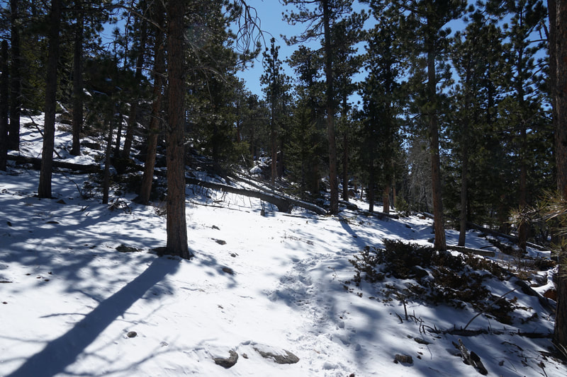
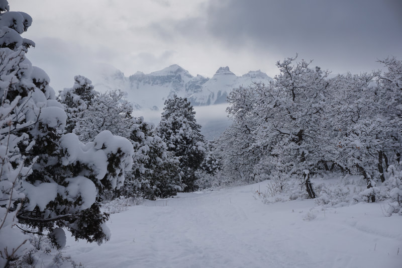
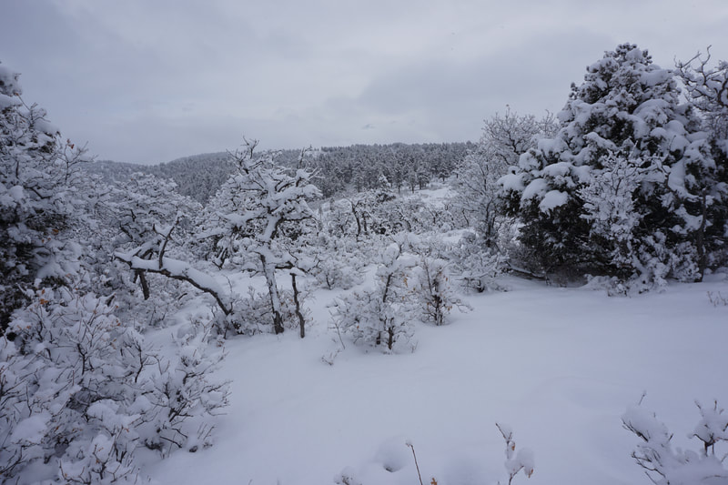
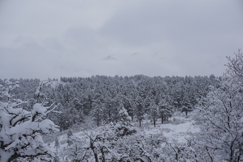
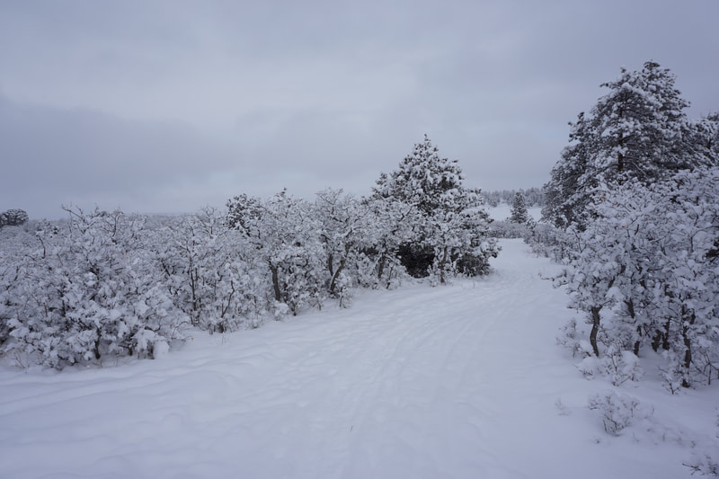
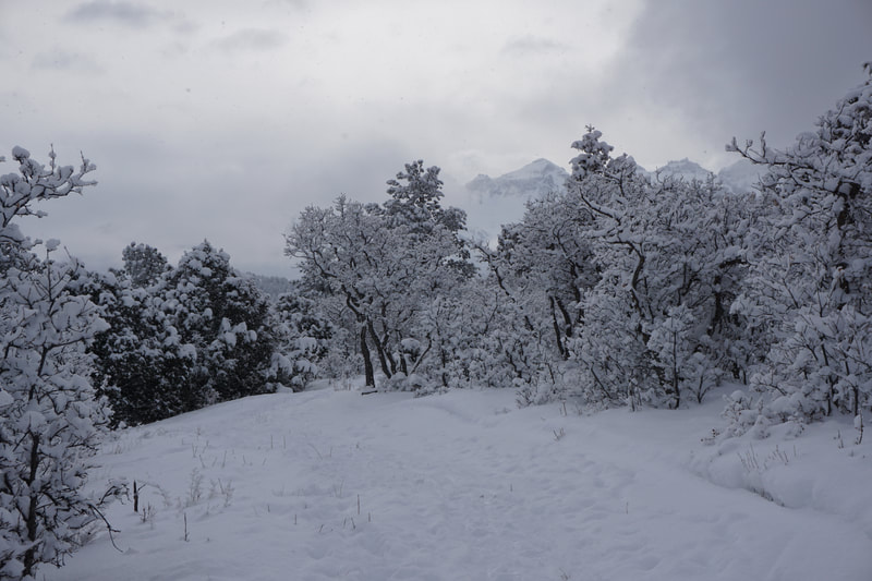
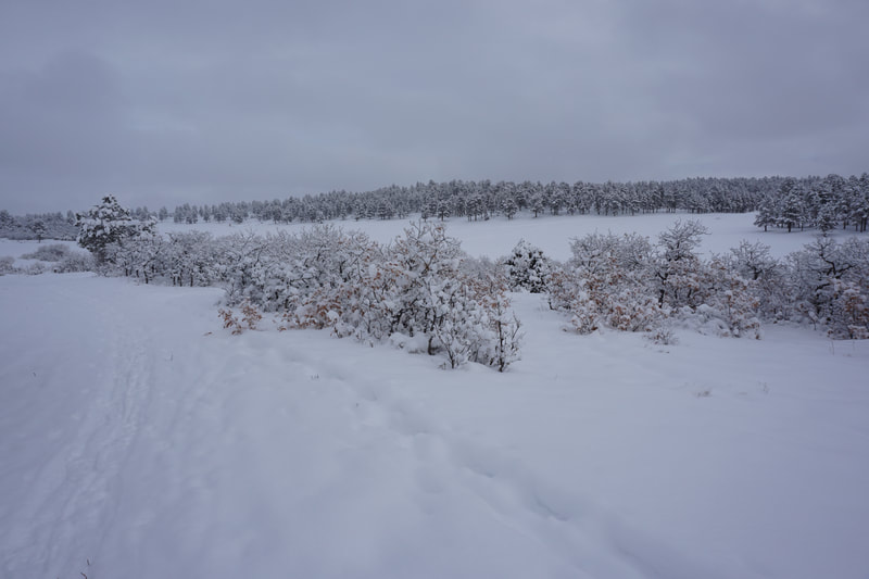
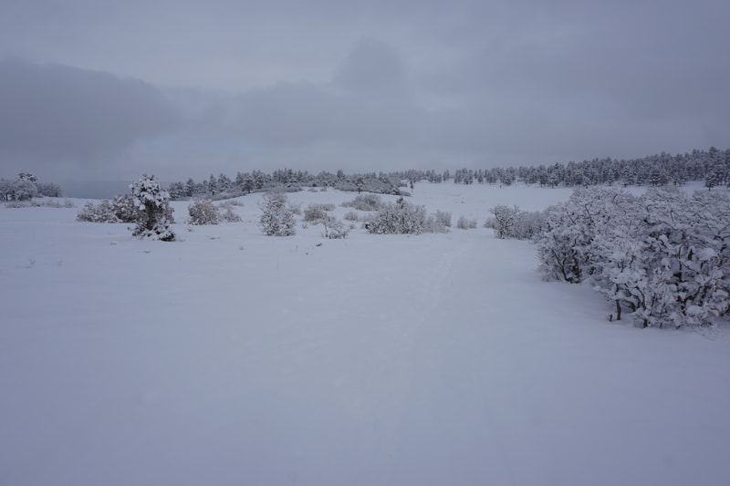
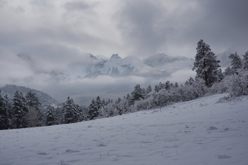
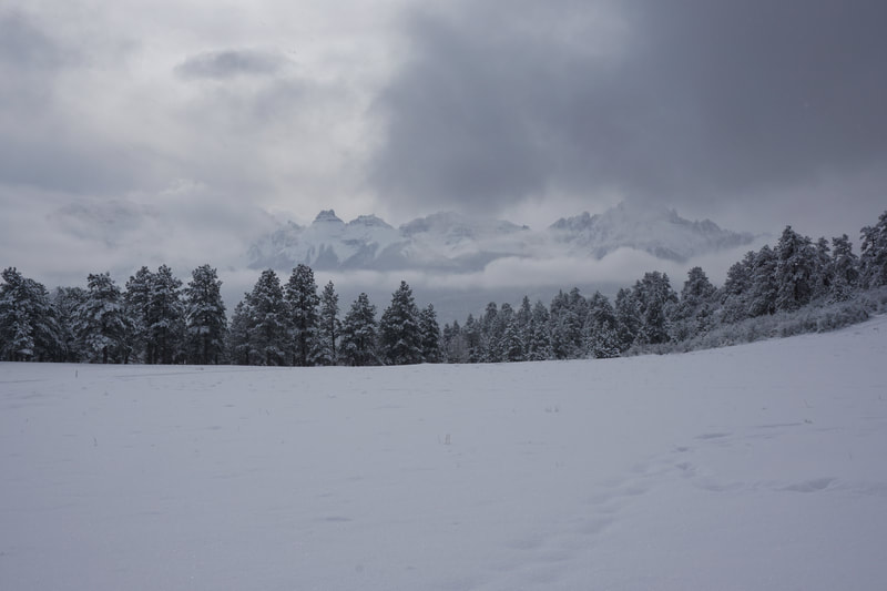
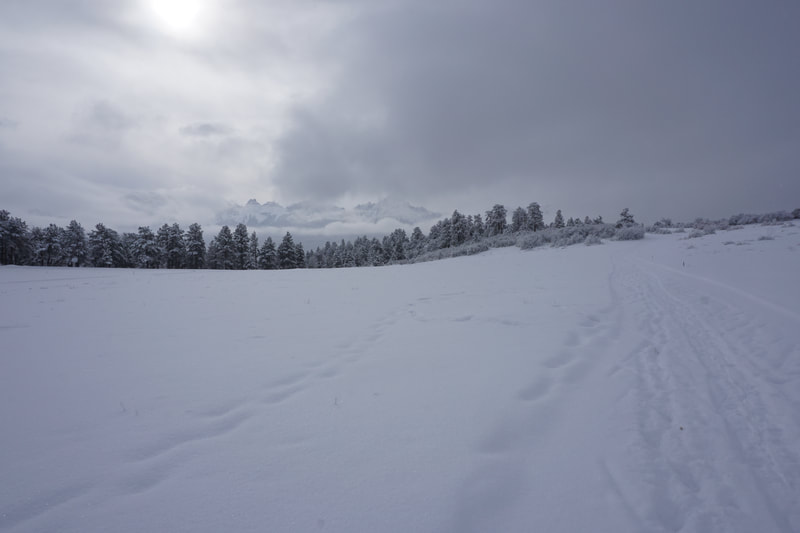
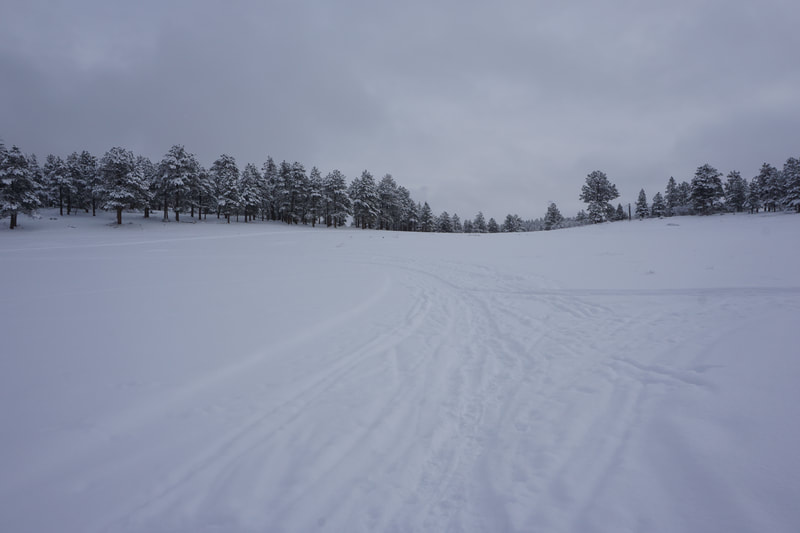
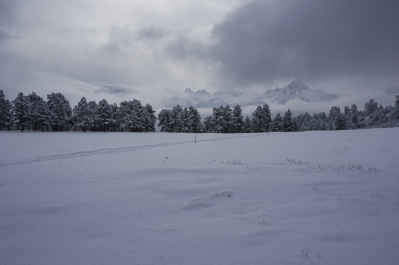
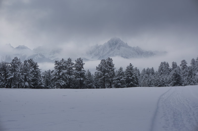
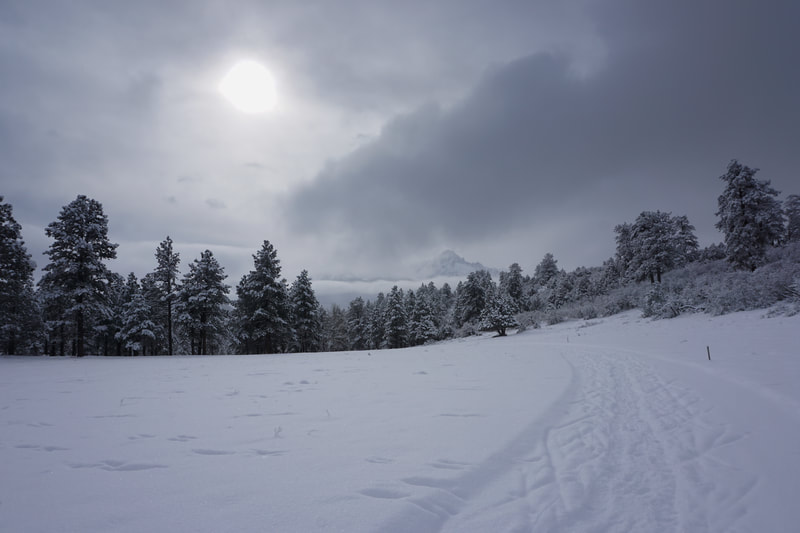
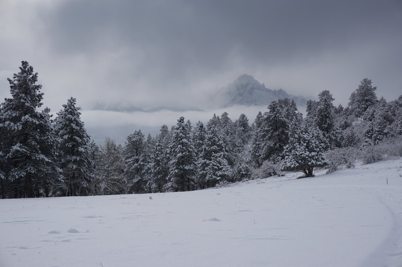
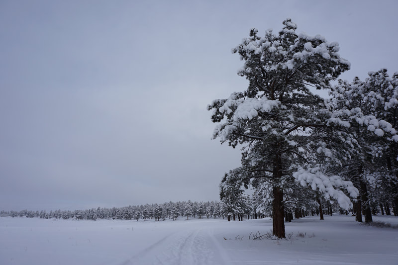
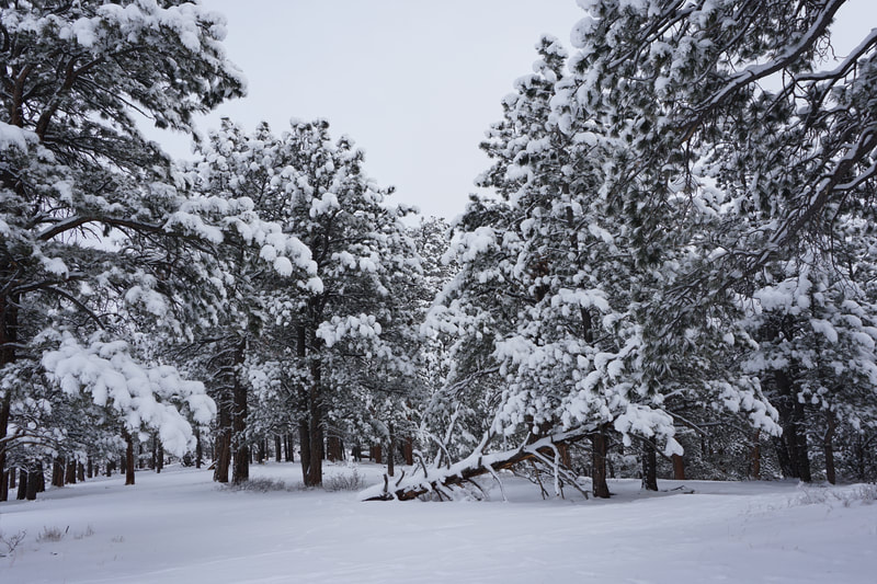
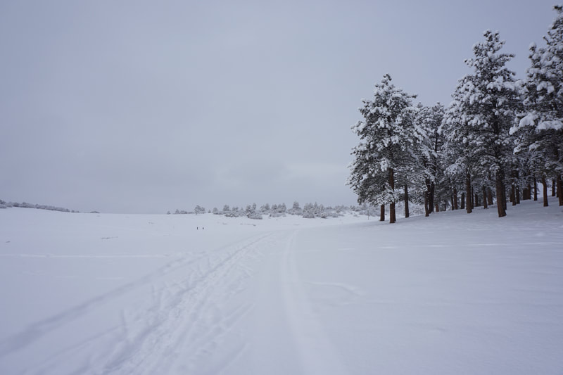
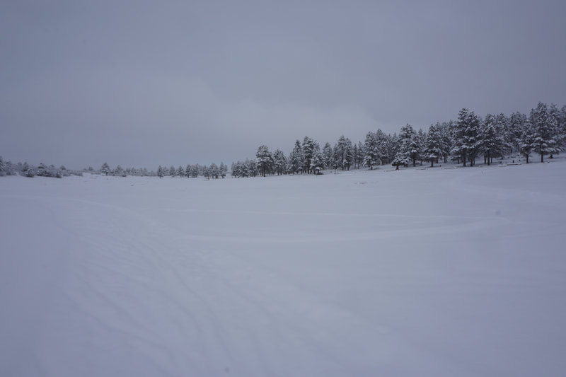
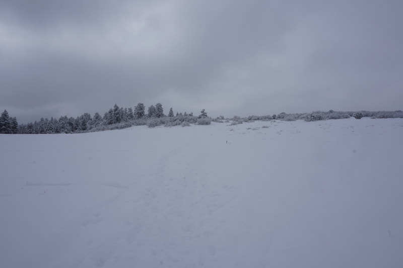
The hike/snowshoe from the trail access parking area north to West Lake and the Meadows Loop is a great introduction to this area. The access trail weaves through Christmas trees for about 1/2 mile and provides excellent views of the Sneffels Range peaking out from behind the pines. The trail then descends to the meadow. The trails are obvious and wide (be sure to stick to the outside of the track so as not to ruin the nordic ski path) and ring the meadow. From the meadow, the views of the Sneffels Range are wide open and incredible and Mt. Sneffels (14,150 ft) is on full display. The 1 mile Meadows Loop hugs the edge of the forest and links to the longer snowshoe trails in the preserve. Follow the edge of the meadow and loop around the snow covered West Lake until it returns to the access trail and back to the parking area. This loop just begins to explore the Top of the Pines Preserve and in the Winter, it's a great way to experience the Sneffels Range. When I hiked this trail, the mountains emerged from behind the clouds for about 20 minutes before being hidden for the rest of the day. Lucky to catch a glimpse.... |
- HOME
- ABOUT
-
HIKES BY REGION
-
NATIONAL PARK HIKES
- BENT'S OLD FORT NATIONAL HISTORIC SITE
- BLACK CANYON OF THE GUNNISON NATIONAL PARK
- COLORADO NATIONAL MONUMENT
- CURECANTI NATIONAL RECREATION AREA
- DINOSAUR NATIONAL MONUMENT
- FLORISSANT FOSSIL BEDS NATIONAL MONUMENT
- MESA VERDE NATIONAL PARK
- ROCKY MOUNTAIN NATIONAL PARK
- GREAT SAND DUNES NATIONAL PARK
- HOVENWEEP NATIONAL MONUMENT
- SAND CREEK MASSACRE NATIONAL HISTORIC SITE
- YUCCA HOUSE NATIONAL MONUMENT
- HIKES BY CATEGORY
- NEWS
- WEBCAMS
- $UPPORT GHC
- INTERACTIVE MAP
West Lake & Meadows Loop
Top of the Pines Open Space Preserve
Date Hiked: December 28, 2018
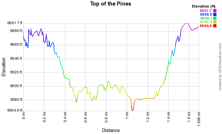
Distance: 1.7 mi (RT)
Elevation Gain: 178 ft
Elevation Min/Max: 8,565 to 8,692 ft
Trailhead Lat/Long: 38º 06' 09" N; 107º 47' 40" W
Managing Agency: Ouray County Open Space
Fee: Yes

