|
|
|
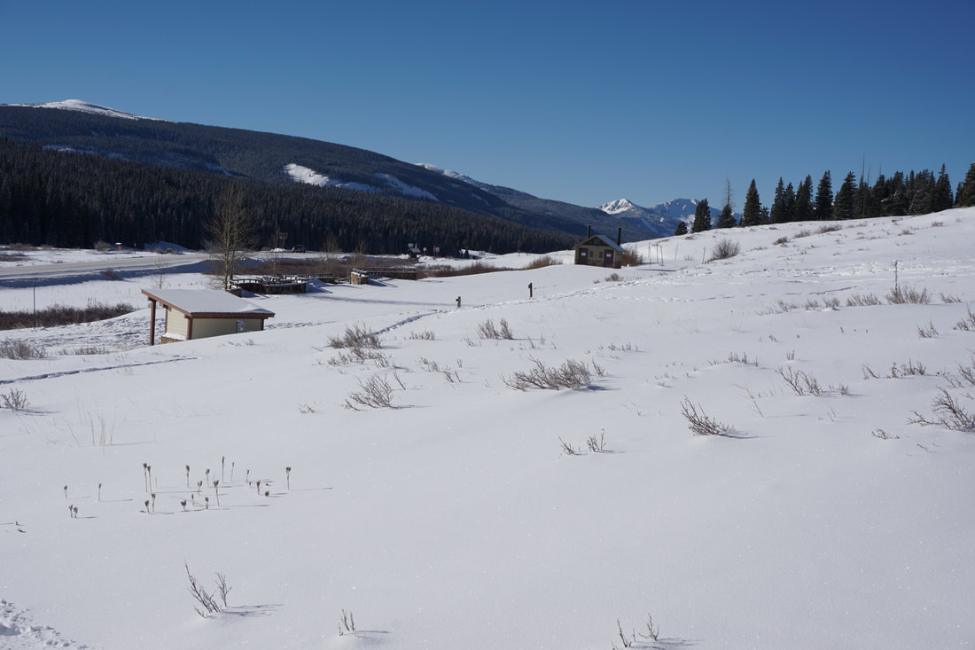
DIRECTIONS: From Telluride, head south on 145 past the turnoff to Ophir, to Lizard Head Pass. The Trailhead is on the west side of the road.
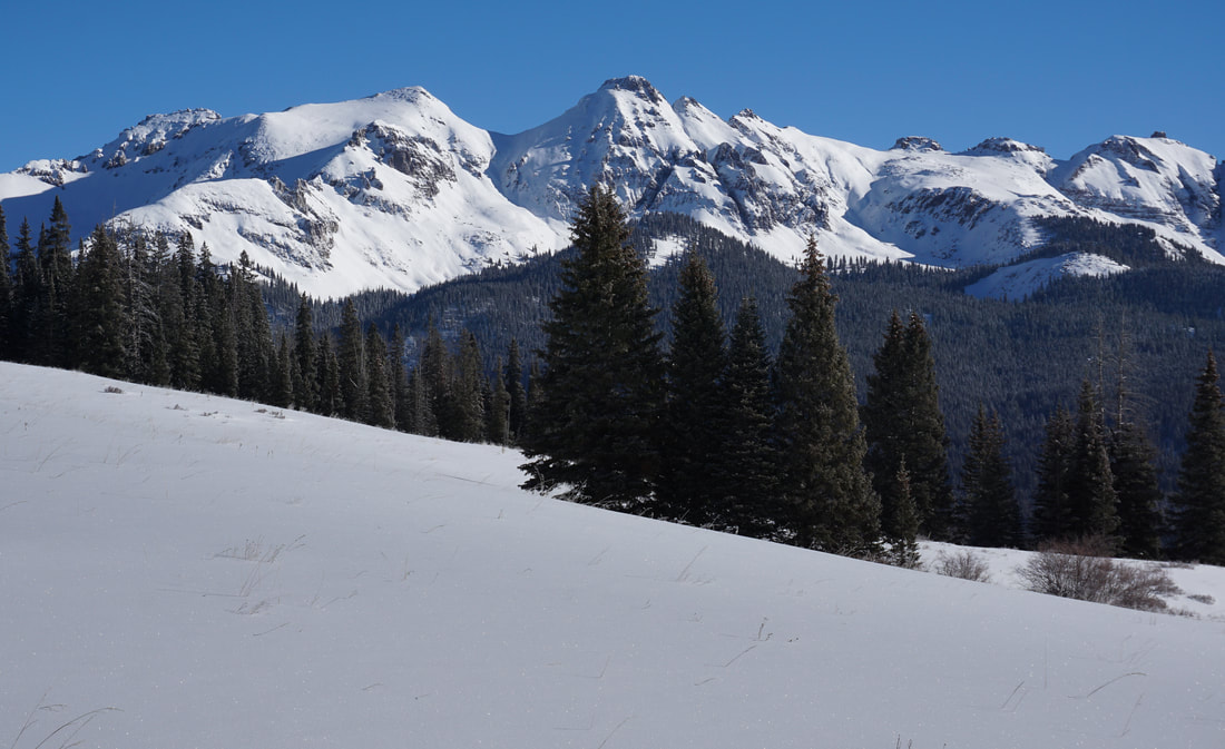
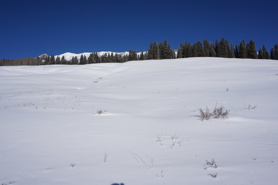
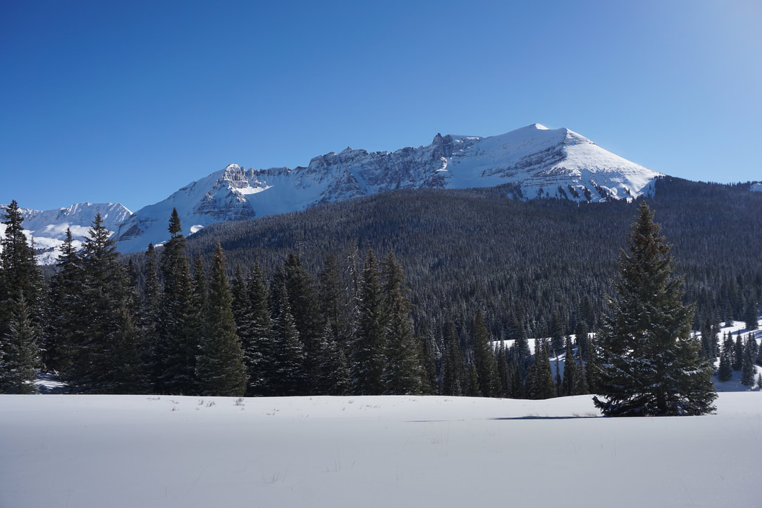
The hike to Wilson Meadows is an absolutely incredible hike and therefore very popular in the summer. However, in the winter, when snowshoes or skis are needed, the trail is rarely visited. The meadows sit at the eastern terminus of the San Miguel Range, which contains the Wilson Group of 14ers, as well as the iconic Lizard Head Peak, a towering spire that dominates the local viewshed. The hike is relatively easy in the summer, but winter conditions will surely add some challenges and test your resolve.
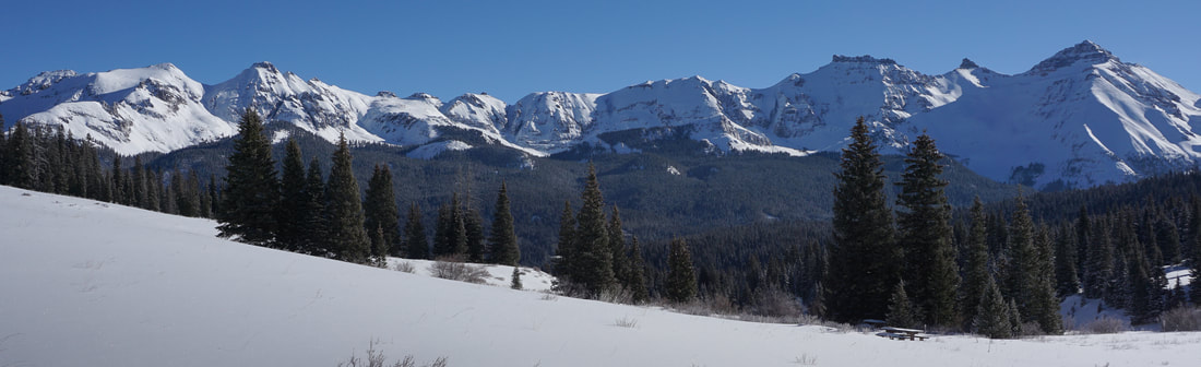
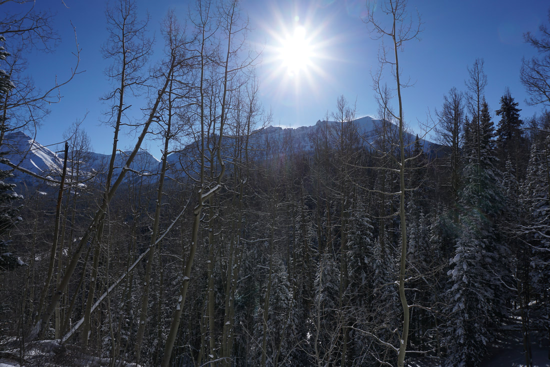
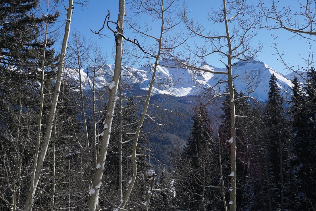
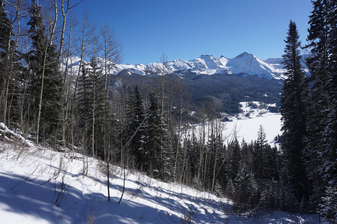
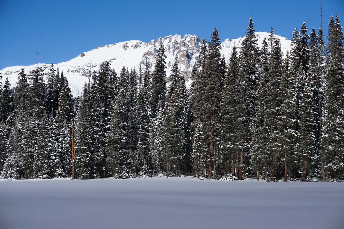
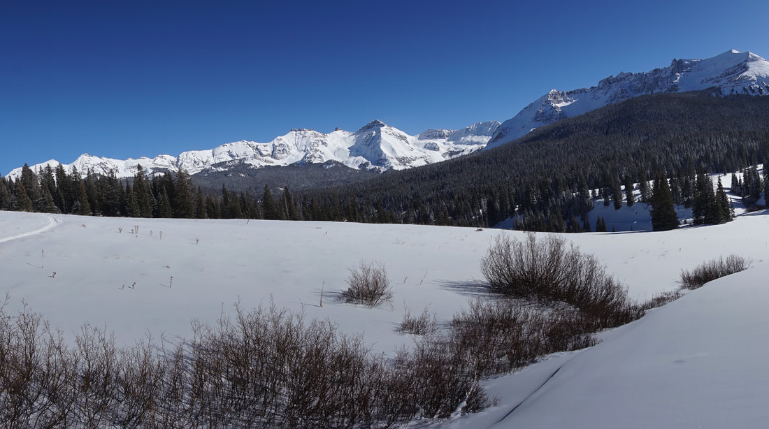
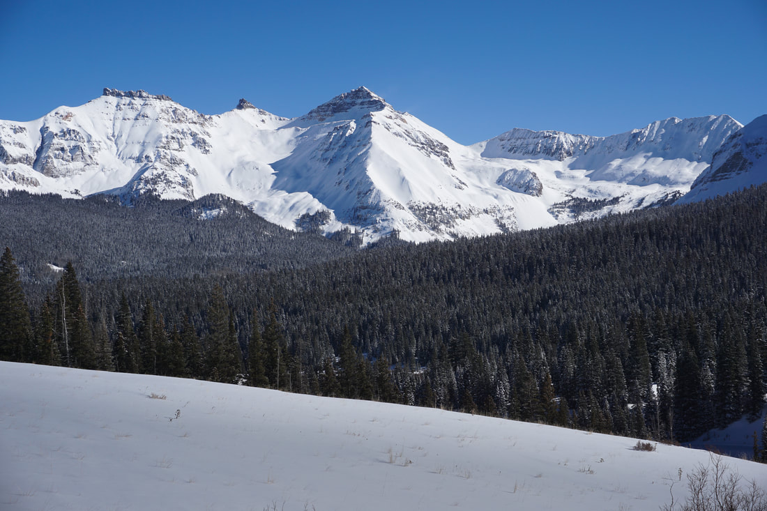
The hike begins at Lizard Head Pass where the views are immediately amazing. Across the highway to the east is Trout Lake and the Lake Hope Basin with Vermilion Peak, Golden Horn, Pilot Knob, and Sheep Mountain rising in the distance. These peaks are stunning, especially in the summer when hues of rust and red streak the mountains. In the Winter the red is covered by white snow but the peaks are no less impressive. Here is photo of these mountains in the summer. 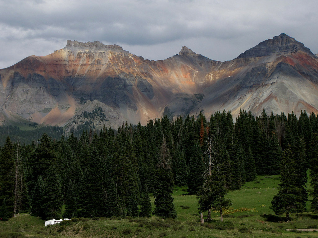
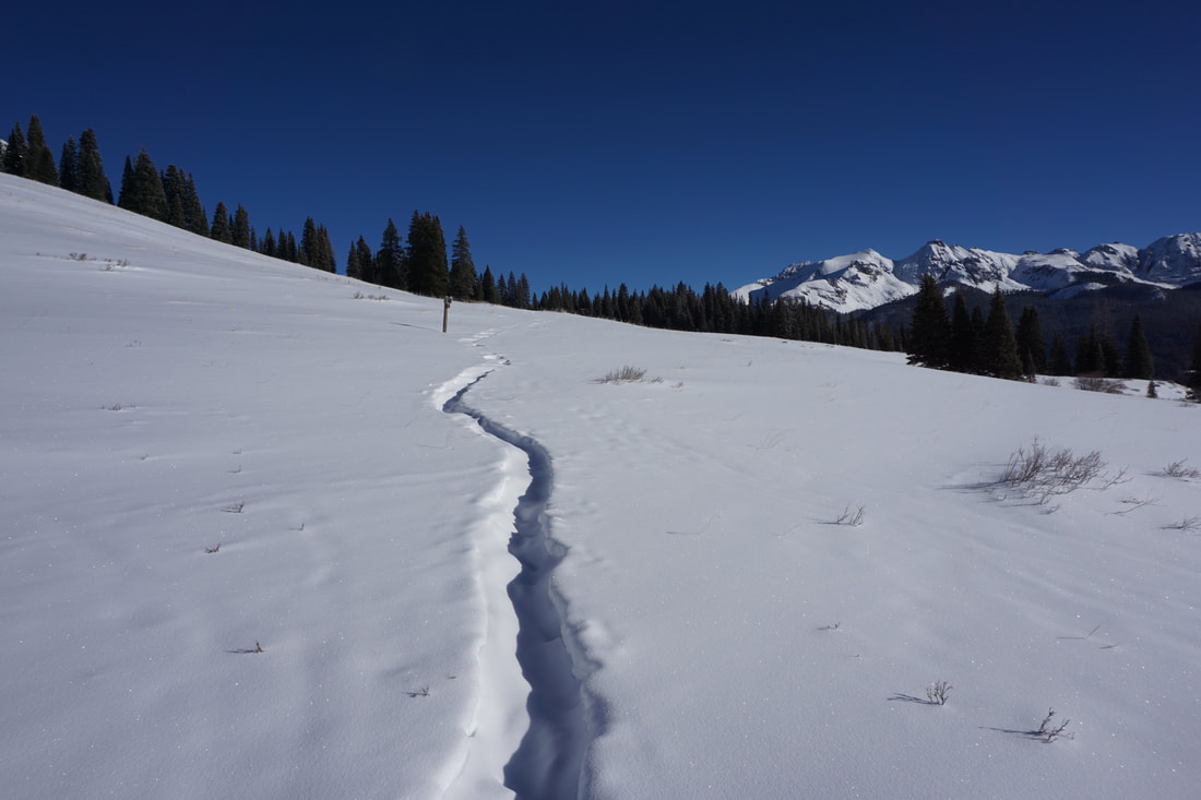
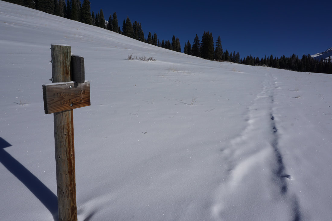
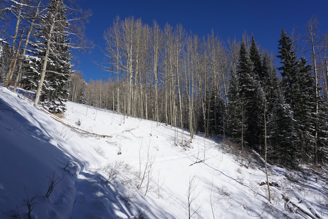
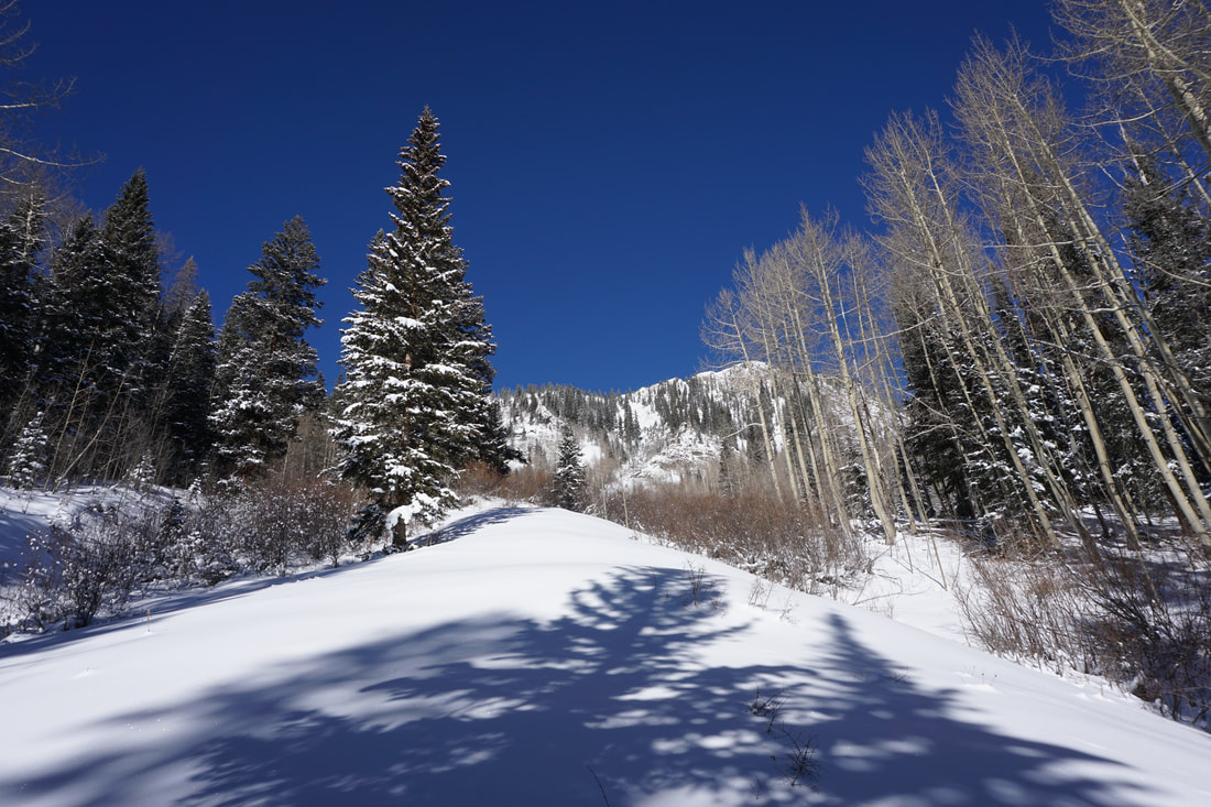
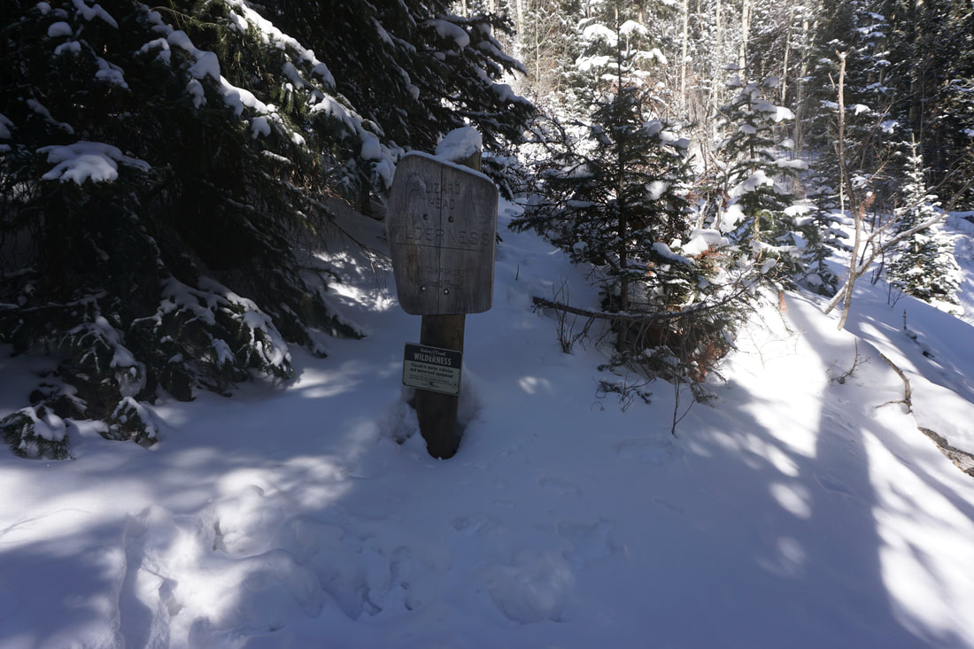
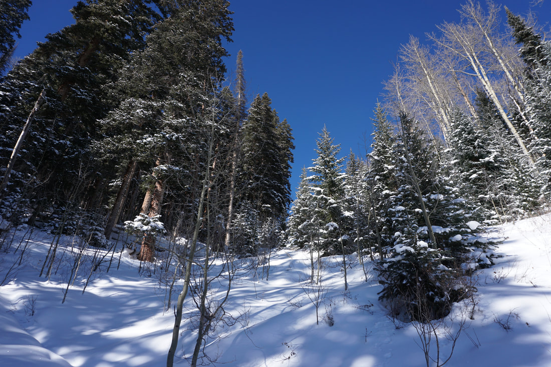
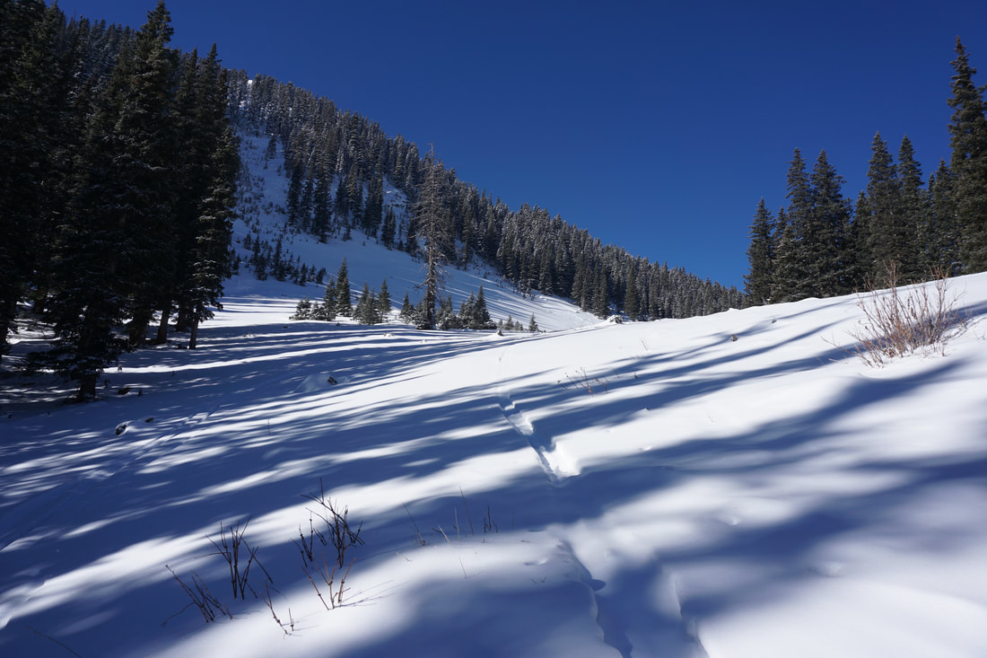
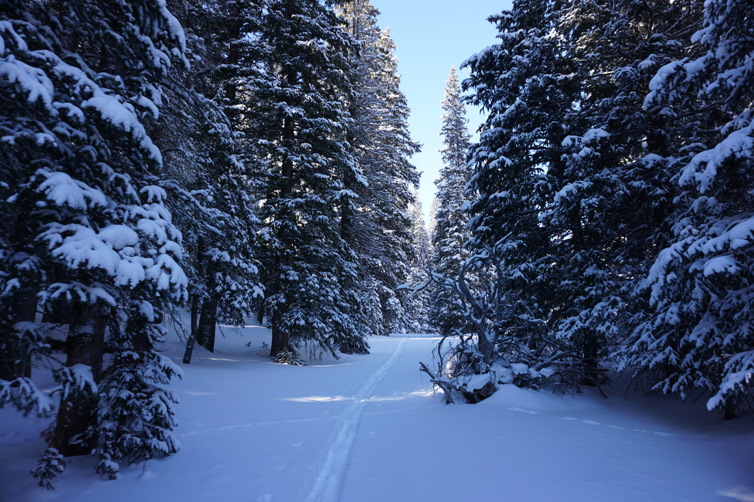
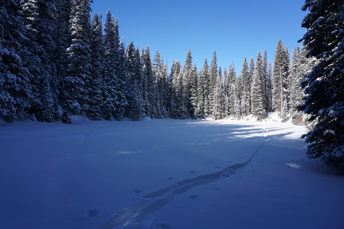
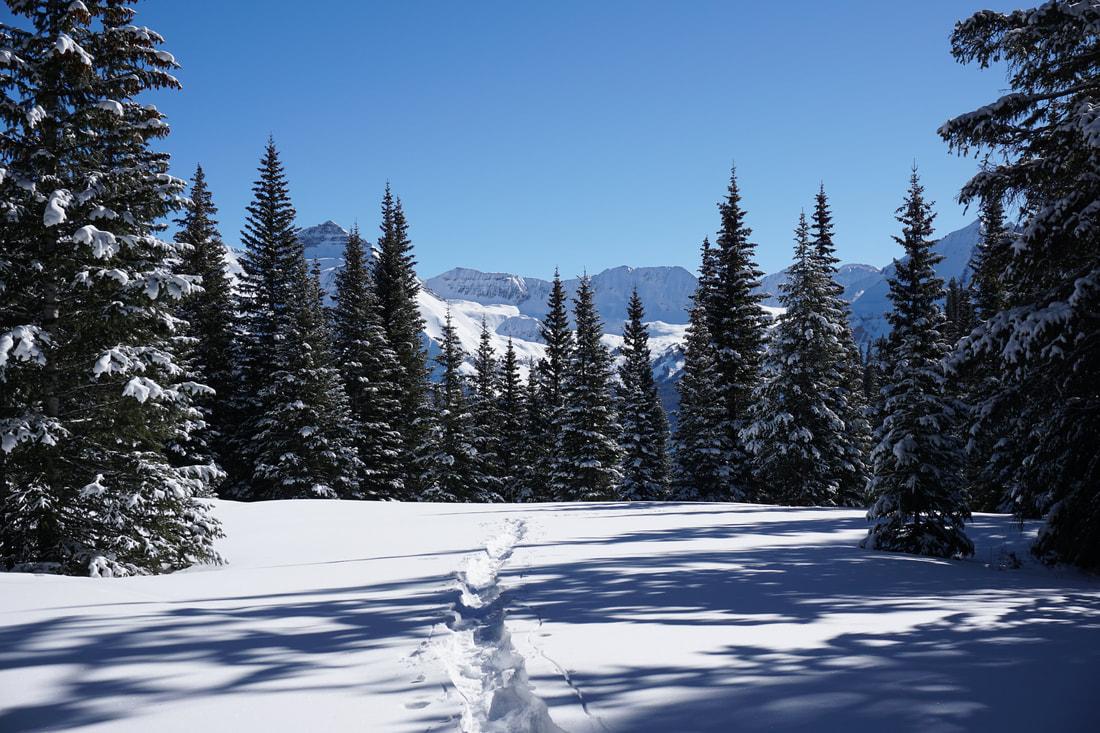
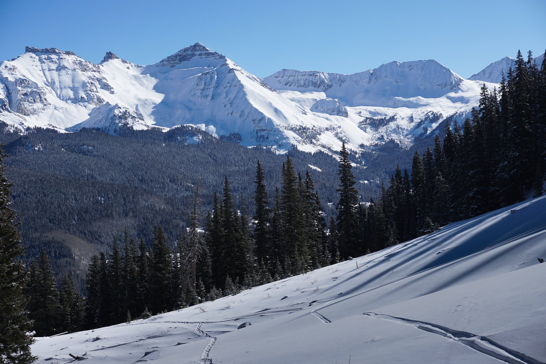
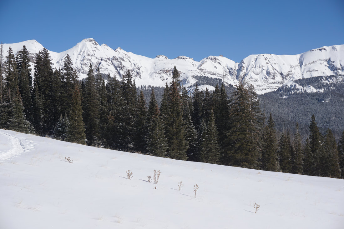
Start out on the Lizard Head Trail, there will most likely be a trench carved into the hillside in the winter for you to follow but look for a trail sign just north of the trailhead, parallel to the highway. Before long the trail enters the trees and rambles over rolling hills for about 1.5 miles. This part of the hike is beautiful and easy going, a good warmup for the upcoming switchbacks up the gulch. The trail stays in the trees (with nice views) for most of this first part of the hike, staying far below the avalanche chutes on Black Face Mountain to your west.
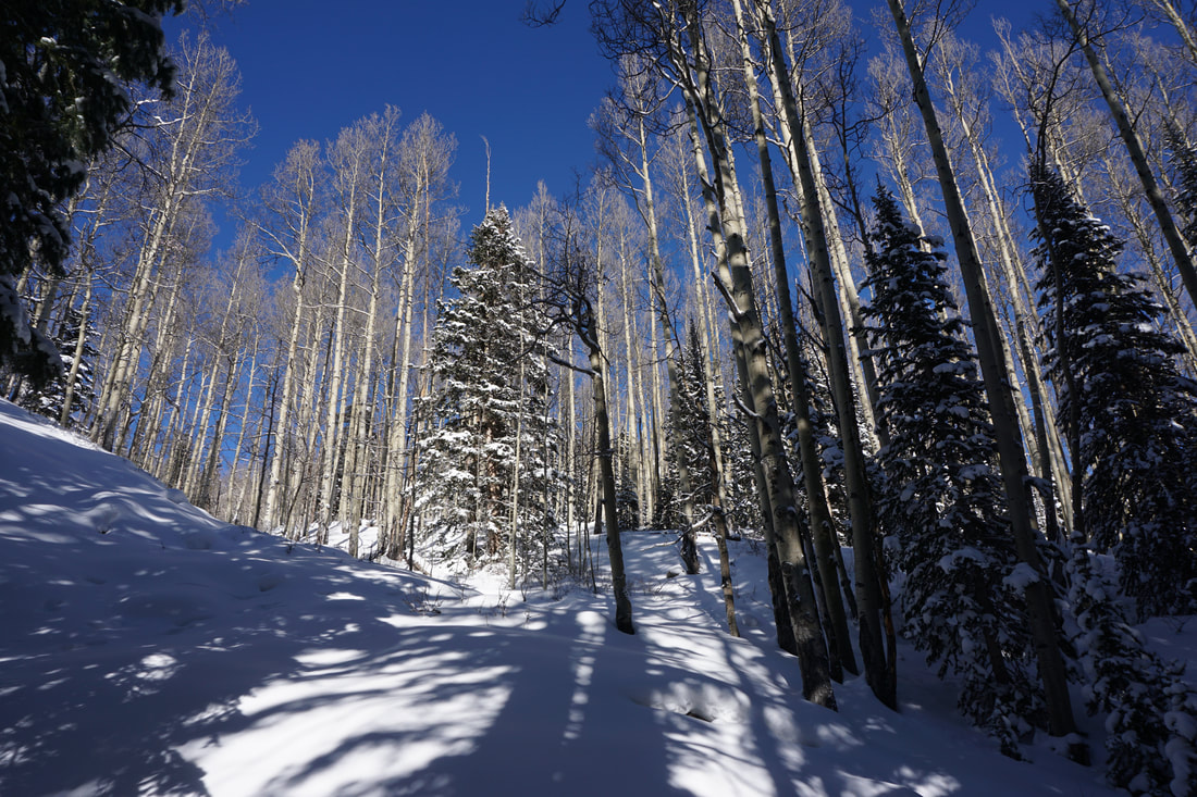
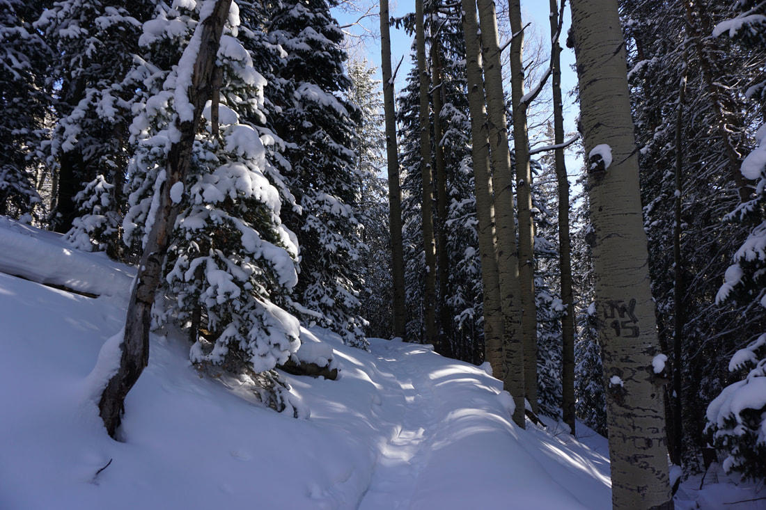
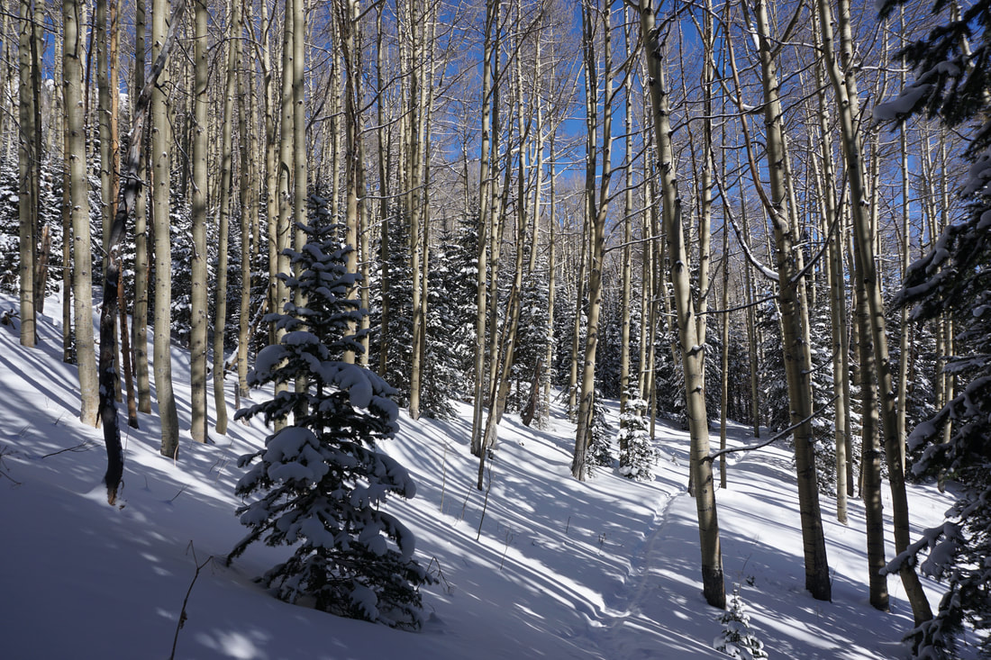
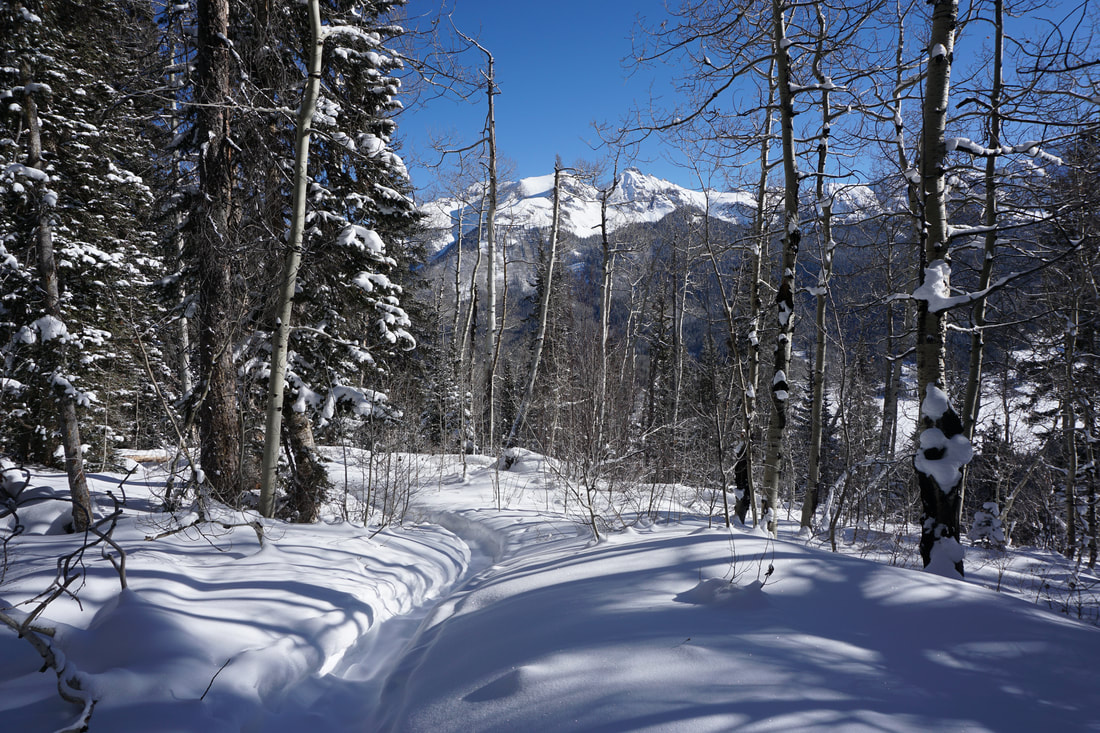
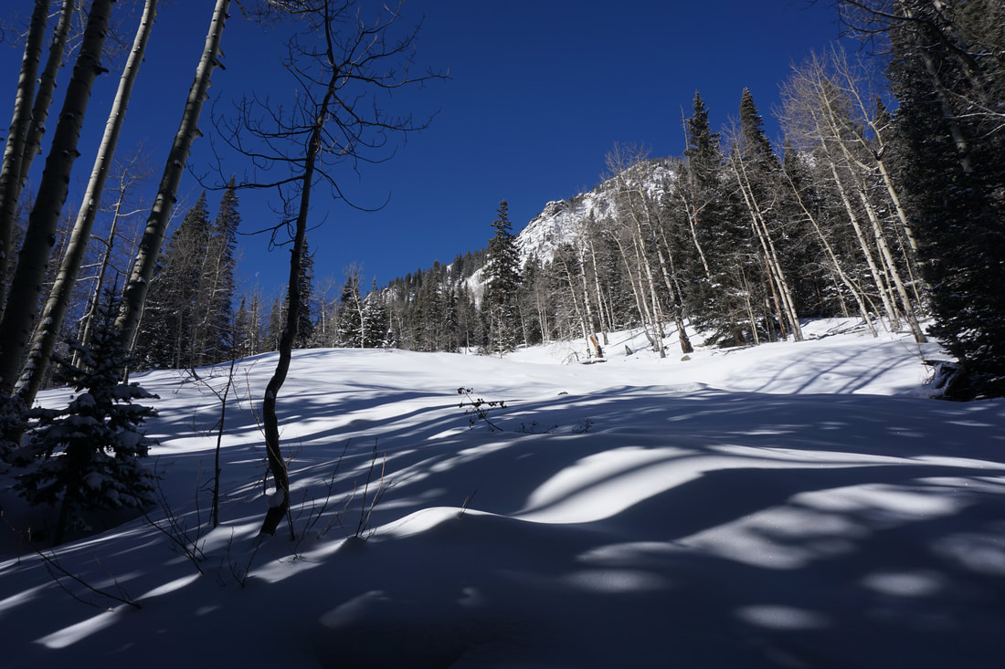
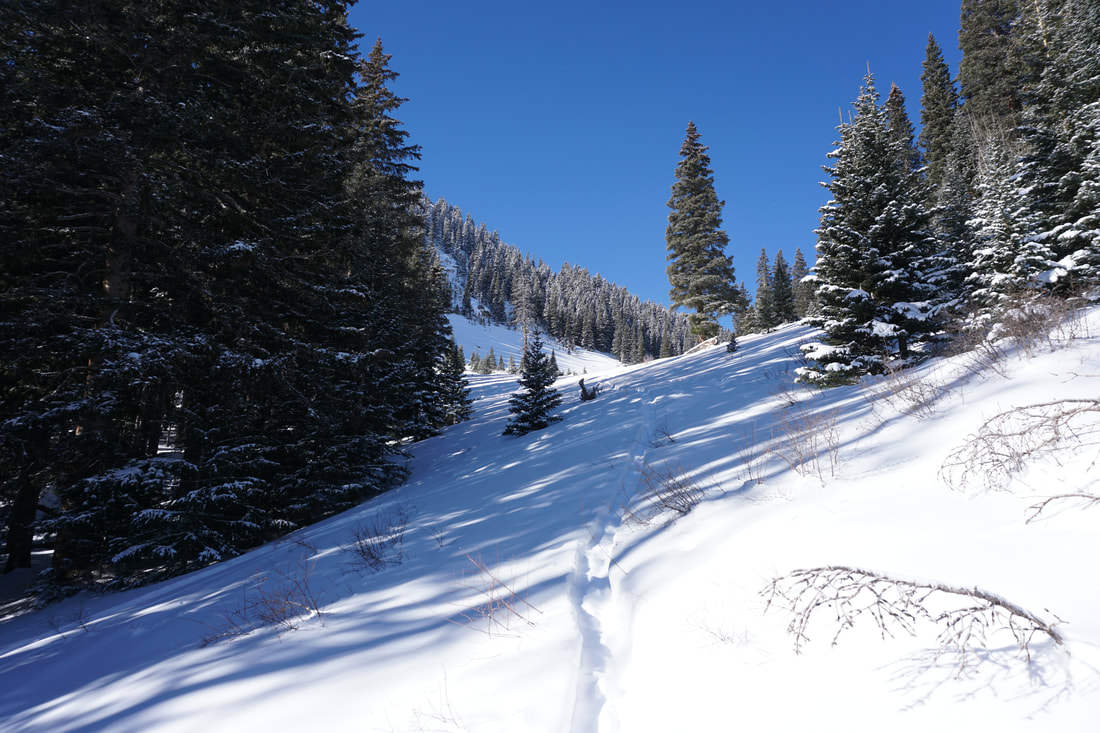
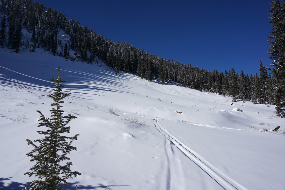
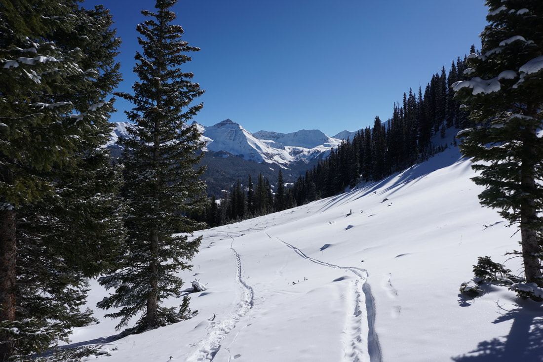
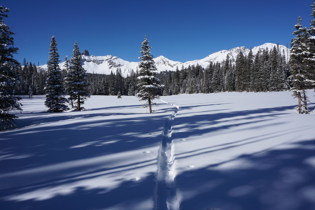
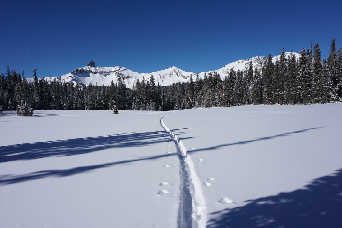
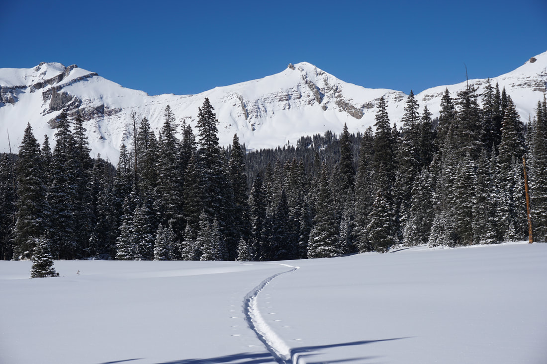
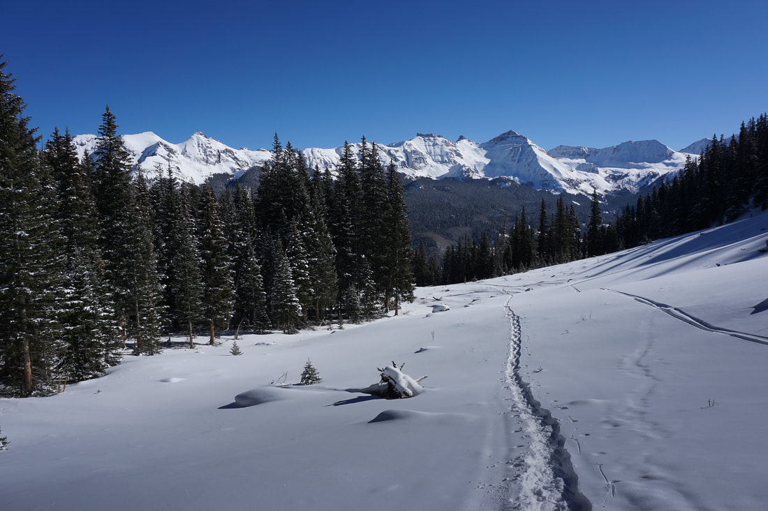
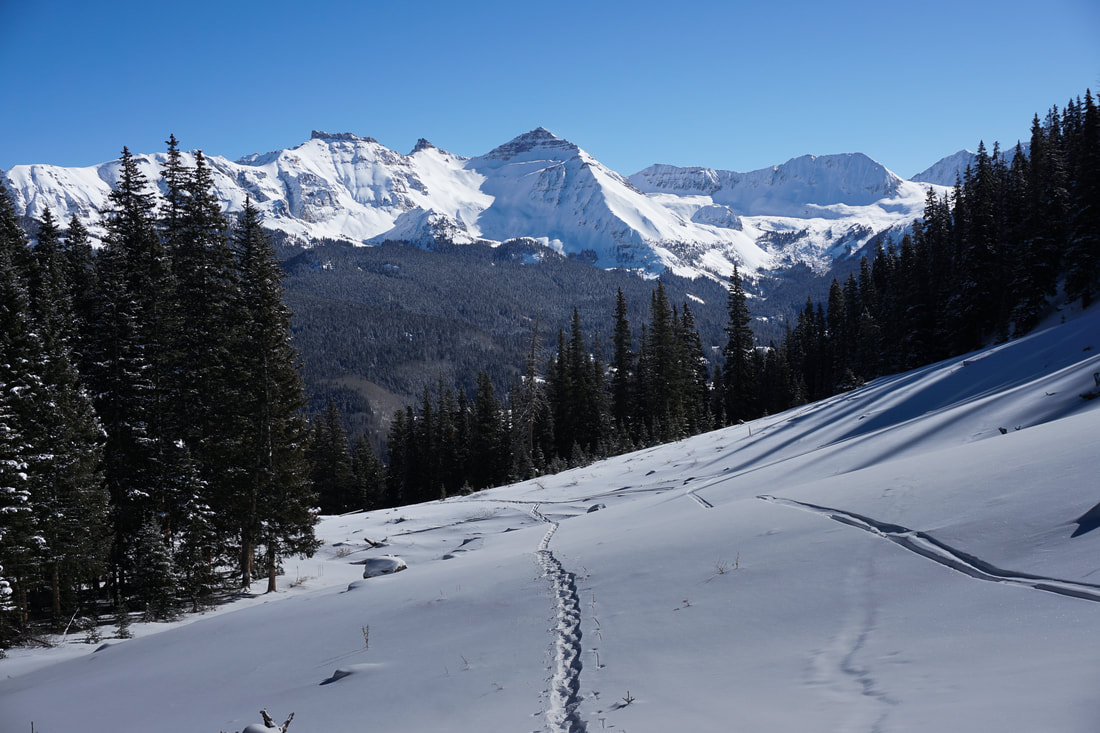
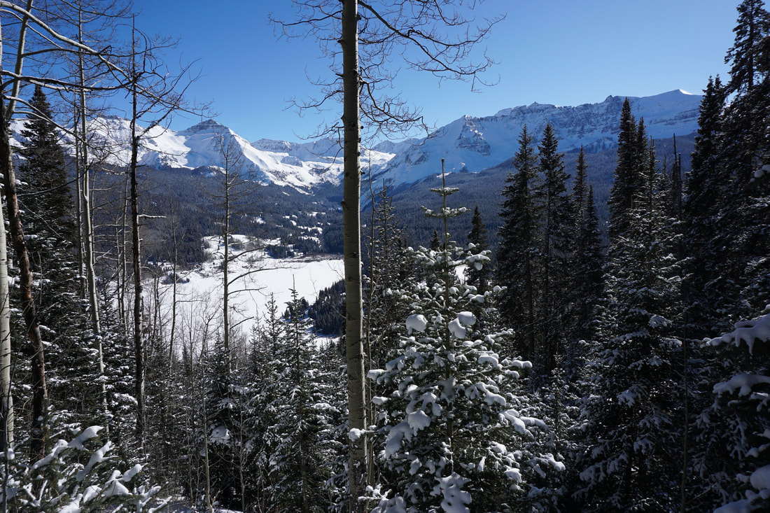
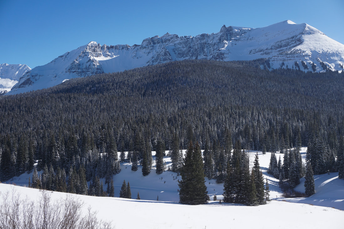
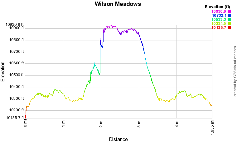
Just after you enter the Lizard Head Wilderness, the trail starts to switchback up a gulch just to the north of Black Face Mountain. The swithcbacks are moderate, but with snowshoes this section starts to get more difficult. The top of the gulch is the most difficult part of the hike. This spot holds a lot of snow and the grade is steep making travel slow and difficult. Power through and you'll soon be at the the top of the gulch where it starts to level out. Be sure to look behind you from time to time as the views to the east are spectacular. After you level out you'll soon reach the trail junction where the Lizard Head Trail shoots off to the left and the Wilson Mesa Trail continues straight. Follow the trail across a small pond and through pine forest. Be sure to follow the trail as it bends back southeast rather than directly west. Before long you'll reach a large meadow with an amazing view of Lizard Head Peak. You'll know it when you see it, but it is about 2.5 miles from the trailhead. The Wilson Meadows Trail continues on for a while longer, eventually leading to the actual Wilson Meadow, but this makes for a nice stopping point in the winter. Take in the views from the meadow and head back the way you came following your snowshoe tracks back down to Lizard Head Pass. The Wilson Meadows hike provides some absolutely insane scenery for a relatively easy journey. Therefore, it sees a lot of foot traffic in the summer. In fact, I am looking forward to returning to this spot in the summer to climb up to the summit of Black Face Mountain for views of the Wilson Group. In the winter, you may just have it all to yourself, a true Colorado winter paradise, just minutes south of Telluride. |
|