|
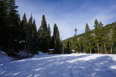
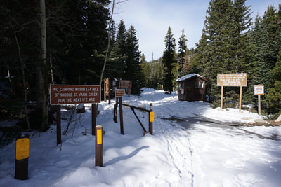
Directions: From the Peak-to-Peak Hwy (72) turn west onto Middle St. Vrain Road at the sign for Peaceful Valley/Camp Dick. Follow the good dirt road through the Peaceful Valley Campground to the Camp Dick Campground. At the westernmost edge of the Camp Dick Campground you'll find the Middle St. Vrain Trailhead and a few minutes walk down Middle Saint Vrain Road you'll find the Buchanan Pass Trailhead.
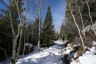
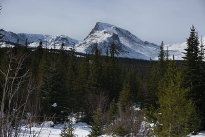
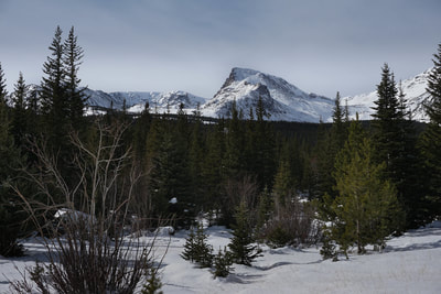
The lower portion of the Buchanan Pass Trail is a wonderfully mellow approach trail with lots of mileage and great views at the end. The trail parallels Middle St. Vrain creek and road through dense pine forest and frequent aspen groves leading to a clearing with tremendous views of the Sawtooth, just one of the Indian Peak's many iconic mountains. While the trail approaches the Indian Peaks, it doesn't quite cross the boundary of the wilderness area.
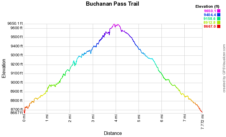
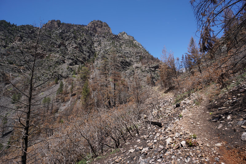
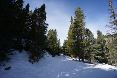
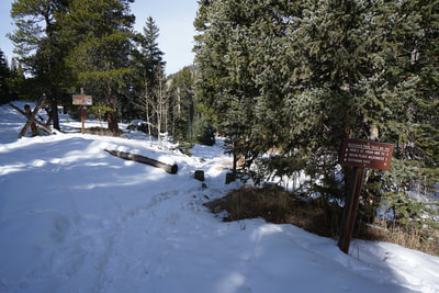
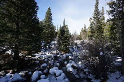
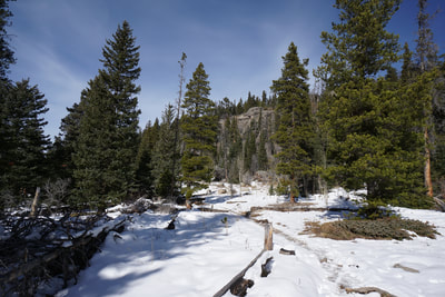
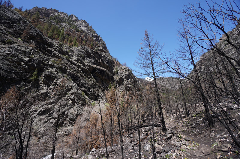
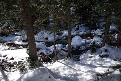
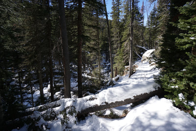
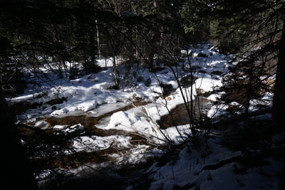
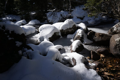
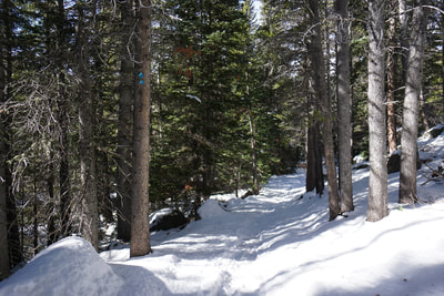
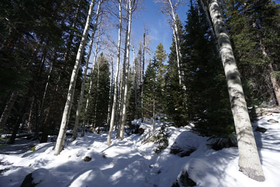
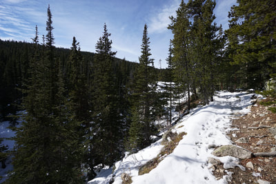
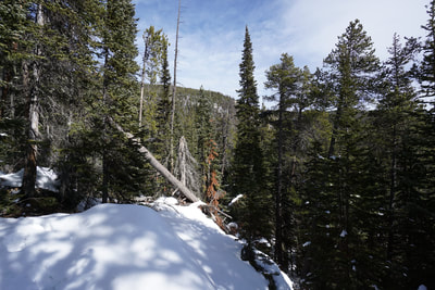
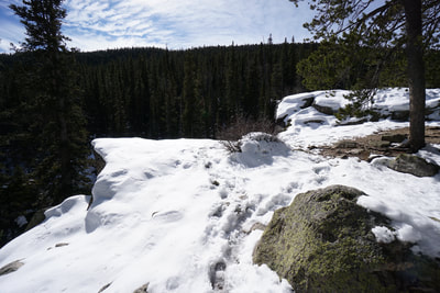
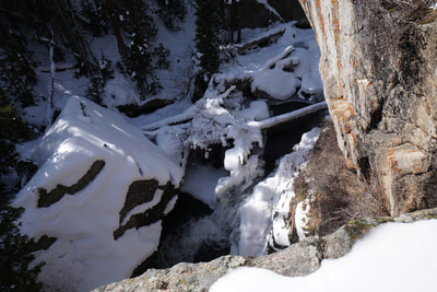
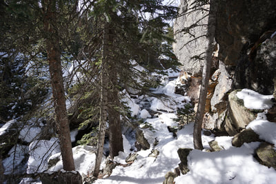
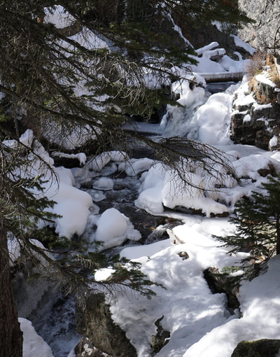
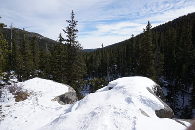
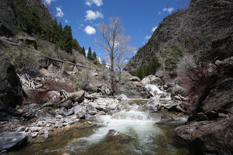
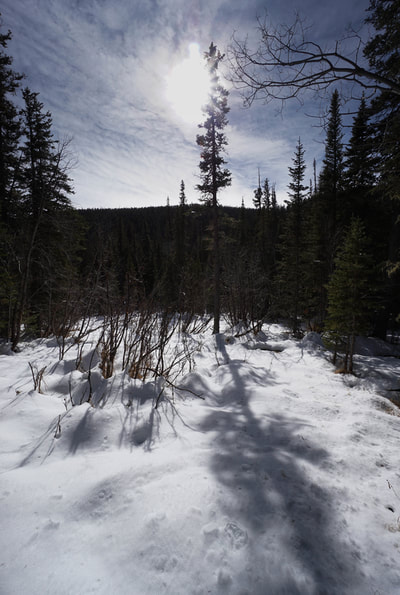
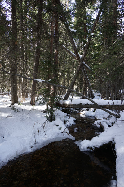
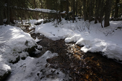
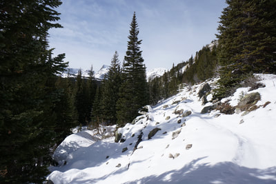
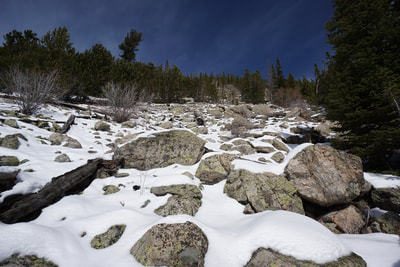
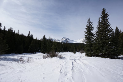
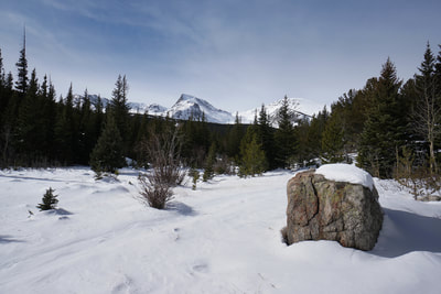
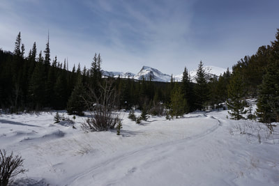
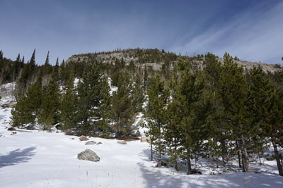
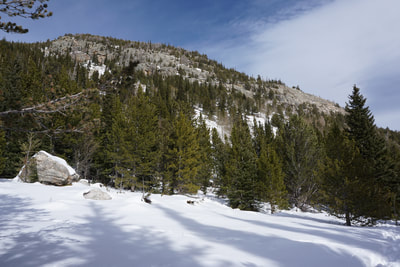
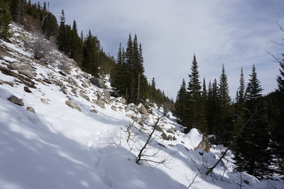
From the Middle St. Vrain trailhead, follow the 4x4 road 1/4 mile to the Buchanan Pass Trailhead. Turn right onto the trail and cross a bridge before turning west and starting the 3.8 mile hike to the clearing. The trail is well maintained and easy to follow. This trail gets a fair amount of traffic so in the winter the trail should be well packed, microspikes are helpful. The trail spends most of the time in the trees and following the creek so be prepared for minimal mountain views for most of the hike. That being said the trail through the forest is pleasant, quiet, and peaceful, especially on a winter morning. At the 2.2 mile mark the trail climbs up to a ridge and a series of massive boulders and cliffs. At the base of the cliffs is Timberline Falls, two small waterfalls that cut through a rocky grotto below. You can see the falls from the top of the cliffs or climb down to the creek for a better view. Be careful climbing down in the winter as the terrain is steep and slick with ice and snow. After the falls, most of the foot traffic stops and in the winter, the packed trail becomes soft and deep. Snowshoes would offer useful flotation at this point but may not be necessary depending on how much snow the area has received. Continue on the trail through another 1.5 miles of similar forested terrain until you start climbing up a talus field. Shortly after this field you'll arrive at the meadow and be treated to an up-close view of the Sawtooth. This is a wonderful place to relax and enjoy the fruits of your labor. From here the trail goes a bit farther and re-connects with Middle St. Vrain Road, but I would recommend turning around after the clearing. This long but mellow hike is perfect when you want a good taste of the Indian Peaks area but are not looking for too much elevation gain. Since the trail starts at the Camp Dick Campground, expect plenty of company in the summer time. In the winter, the trail is quiet and makes for a relaxing romp through the snow, with Indian Peak views as extra incentive to keep hiking. |
- HOME
- ABOUT
-
HIKES BY REGION
-
NATIONAL PARK HIKES
- BENT'S OLD FORT NATIONAL HISTORIC SITE
- BLACK CANYON OF THE GUNNISON NATIONAL PARK
- COLORADO NATIONAL MONUMENT
- CURECANTI NATIONAL RECREATION AREA
- DINOSAUR NATIONAL MONUMENT
- FLORISSANT FOSSIL BEDS NATIONAL MONUMENT
- MESA VERDE NATIONAL PARK
- ROCKY MOUNTAIN NATIONAL PARK
- GREAT SAND DUNES NATIONAL PARK
- HOVENWEEP NATIONAL MONUMENT
- SAND CREEK MASSACRE NATIONAL HISTORIC SITE
- YUCCA HOUSE NATIONAL MONUMENT
- HIKES BY CATEGORY
- NEWS
- WEBCAMS
- $UPPORT GHC
- INTERACTIVE MAP
Buchanan Pass Trail (Lower)
Roosevelt National Forest
Date Hiked: November 10, 2017
Distance: 7.8 mi (RT)
Elevation Gain: 1,200 ft
Elevation Min/Max: 8,667 to 9,650 ft
Trailhead Lat/Long: 40º 07' 47" N; 105º 31' 26" W
Managing Agency: U.S. Forest Service
Fee: None

