|
|
|
Directions: The hike up Colorado Mines Peak starts from Berthoud Pass (11,307ft). From Denver, take I70 west to US40 north through Empire and up the switchbacks to the summit of Berthoud Pass. Park in the large parking area.
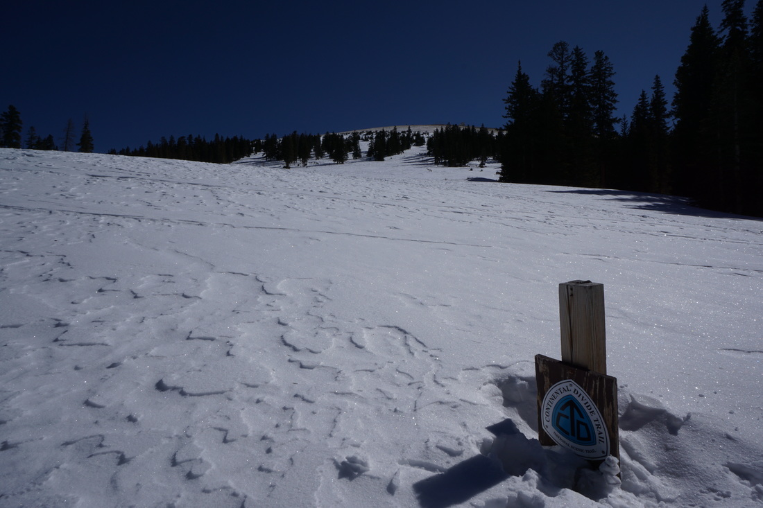
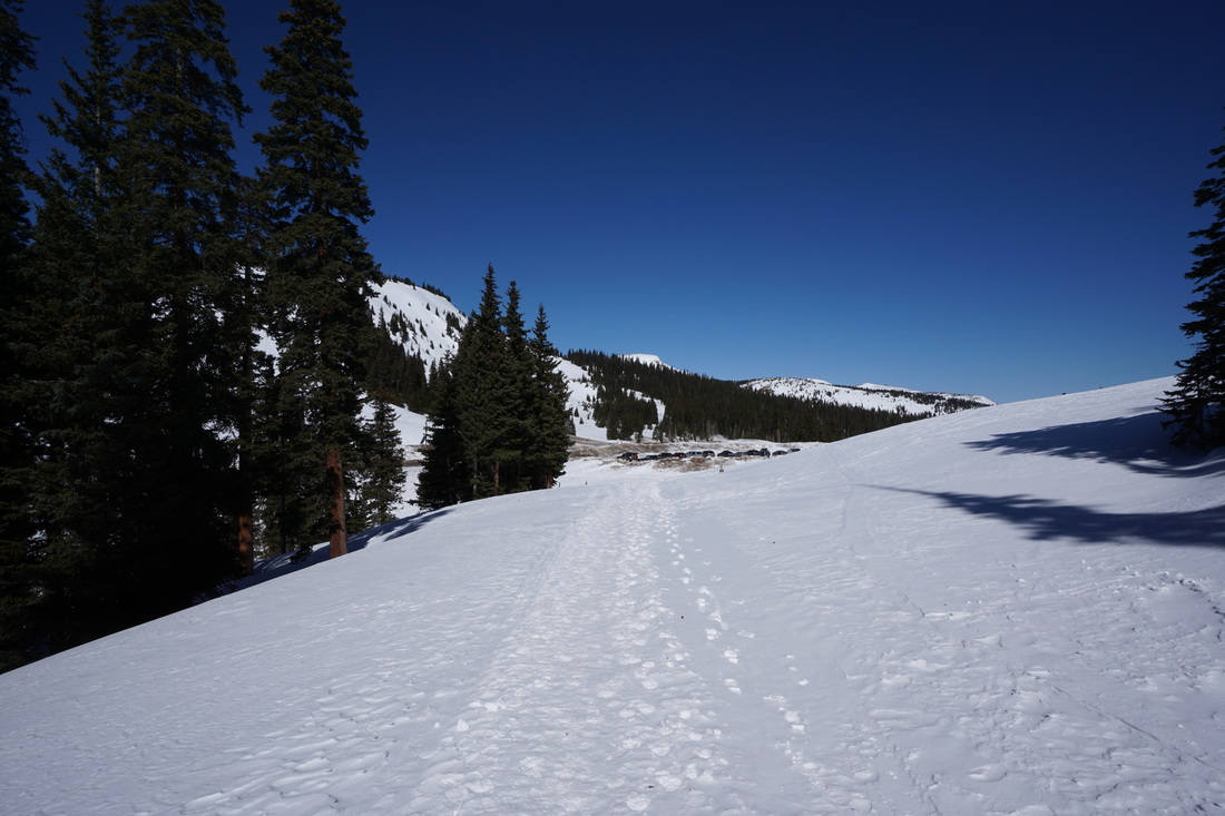
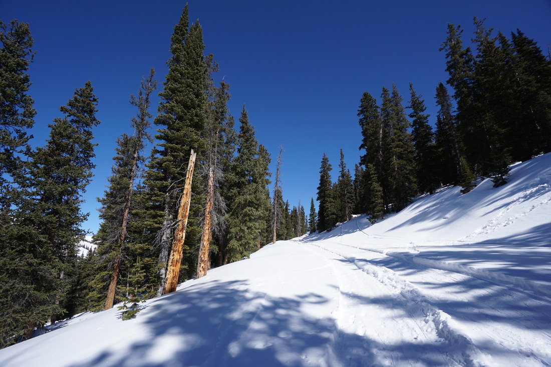
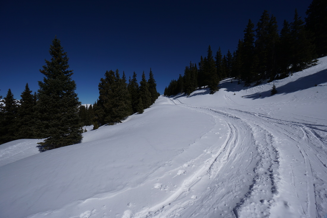
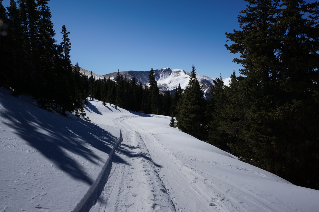
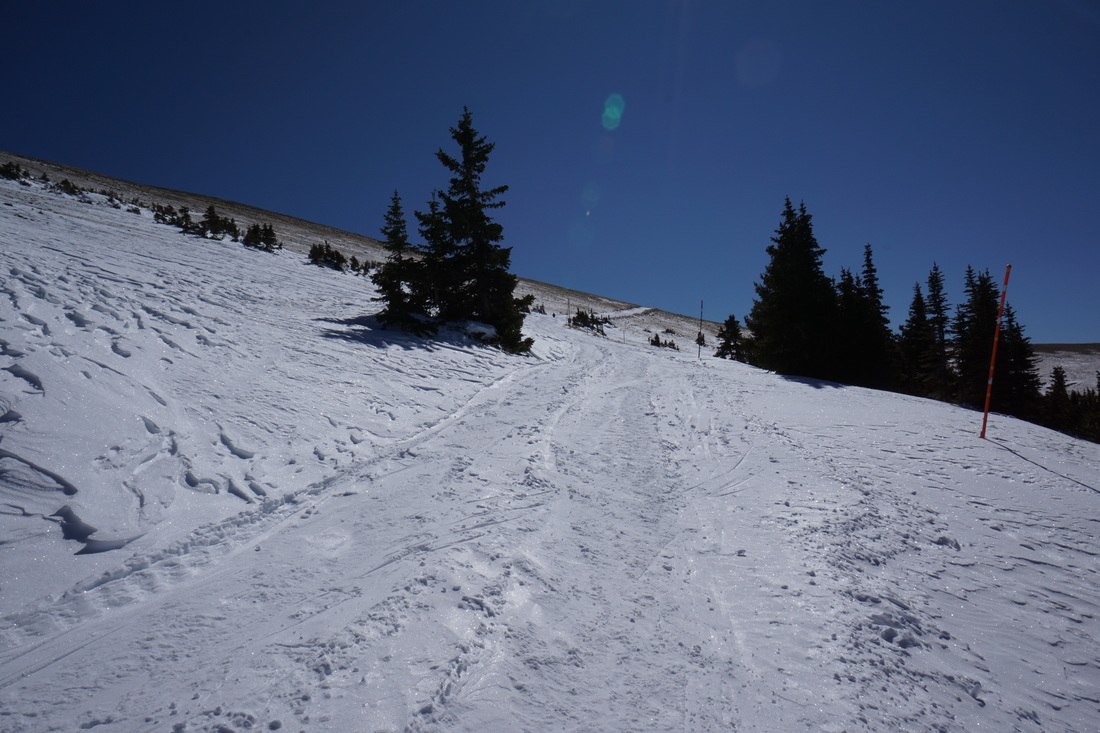
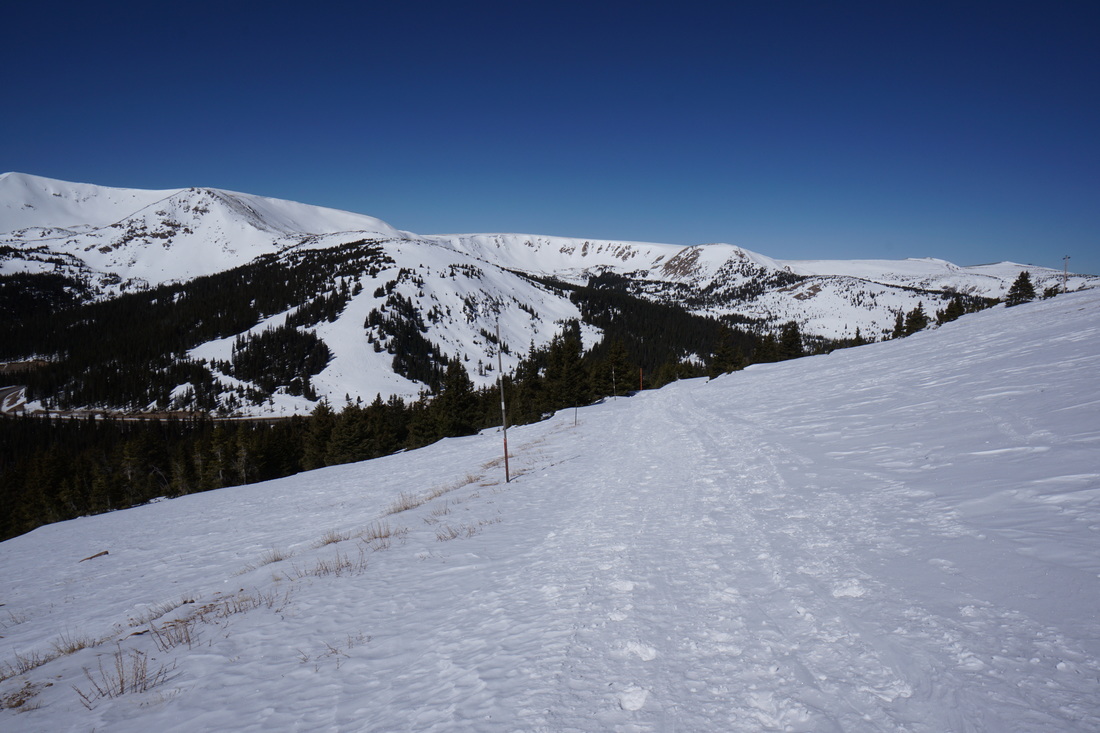
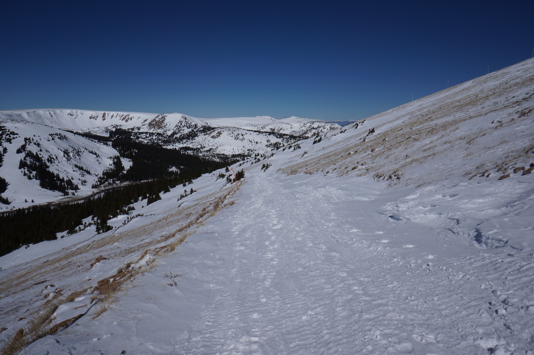
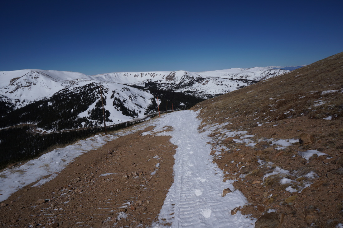
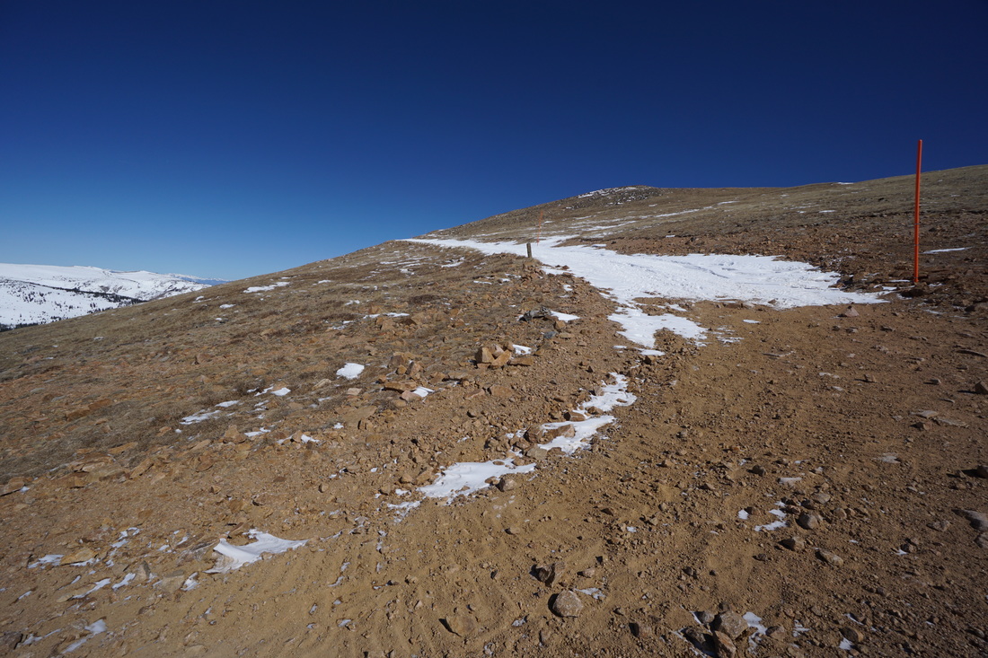
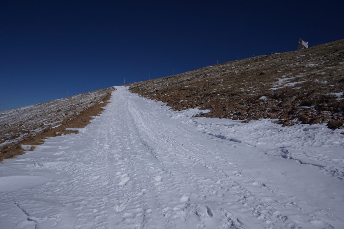
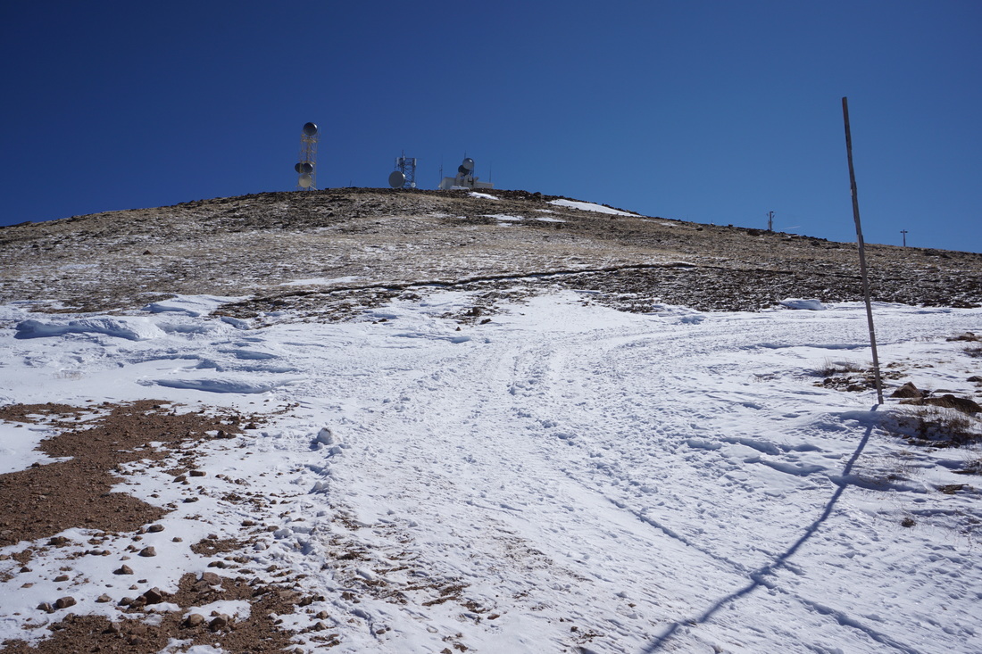
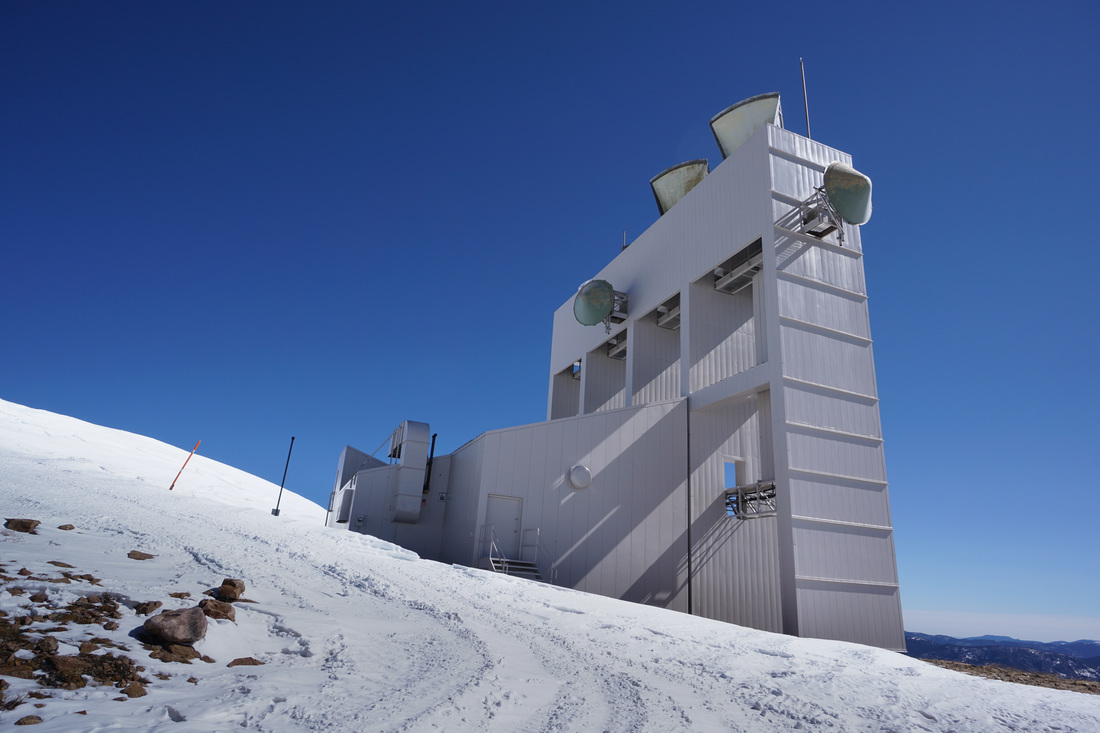
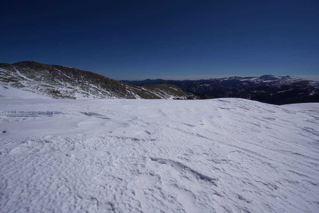
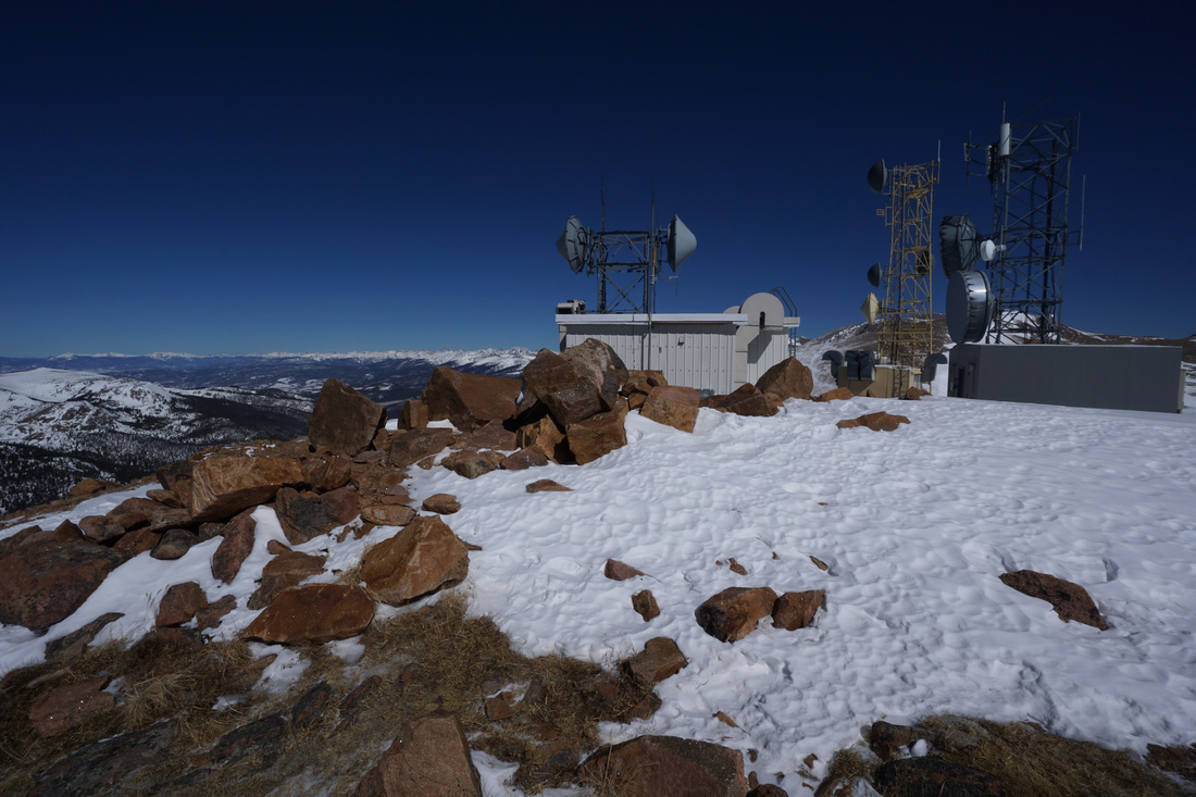
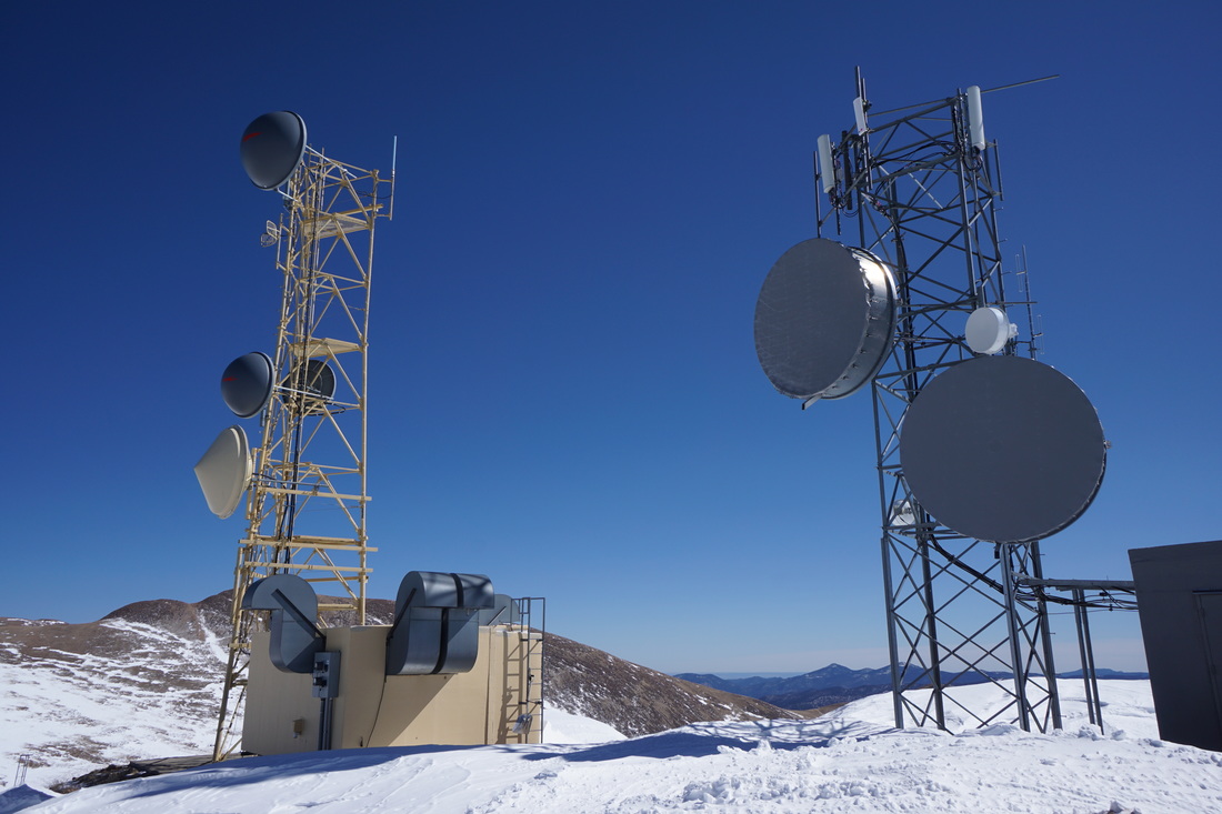
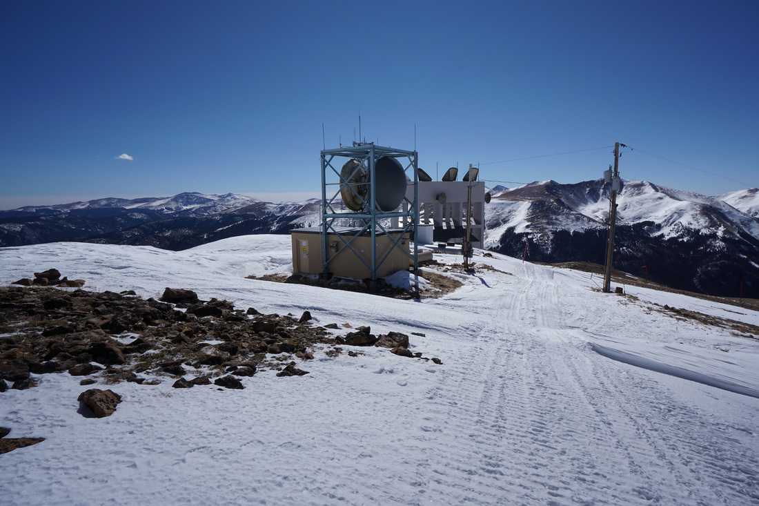
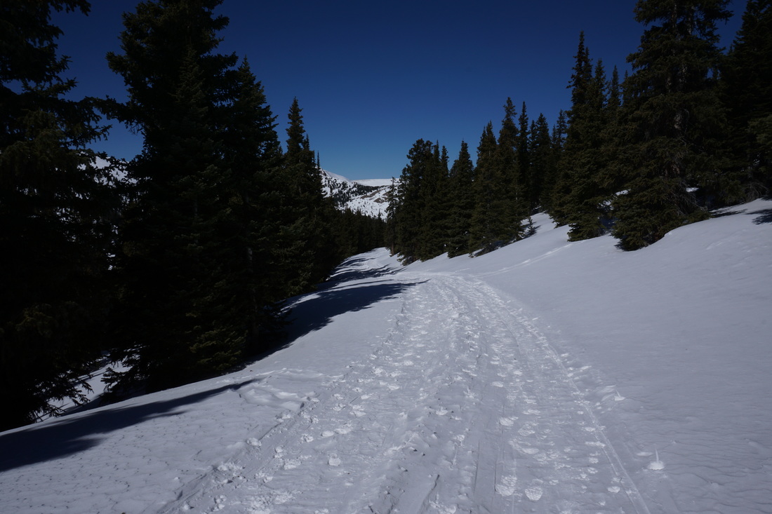
Colorado Mines Peak is so named because the Colorado School of Mines maintains a weather station on the summit. Additionally, there is a well maintained dirt road leading from Berthoud to the station. In the winter, this road is perfect for snowshoeing, skiing, or just winter hiking. The trail gets a good amount of use so the snow is typically packed down and hikeable in just good boots...although snowshoes may be necessary for the 1st mile after a good snow.
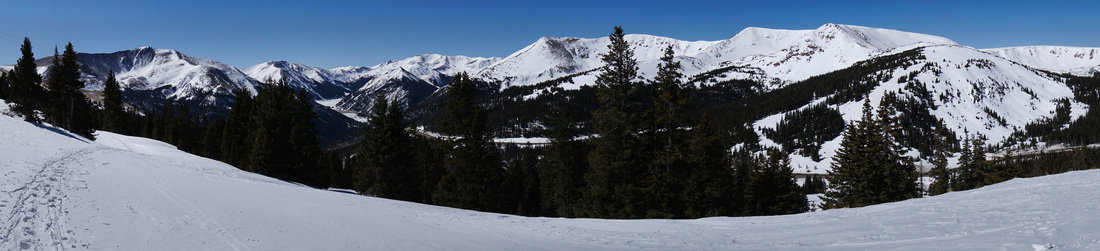
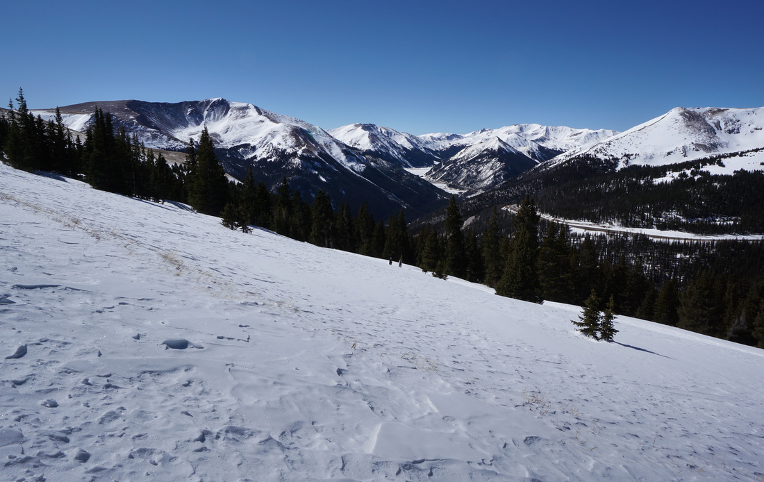
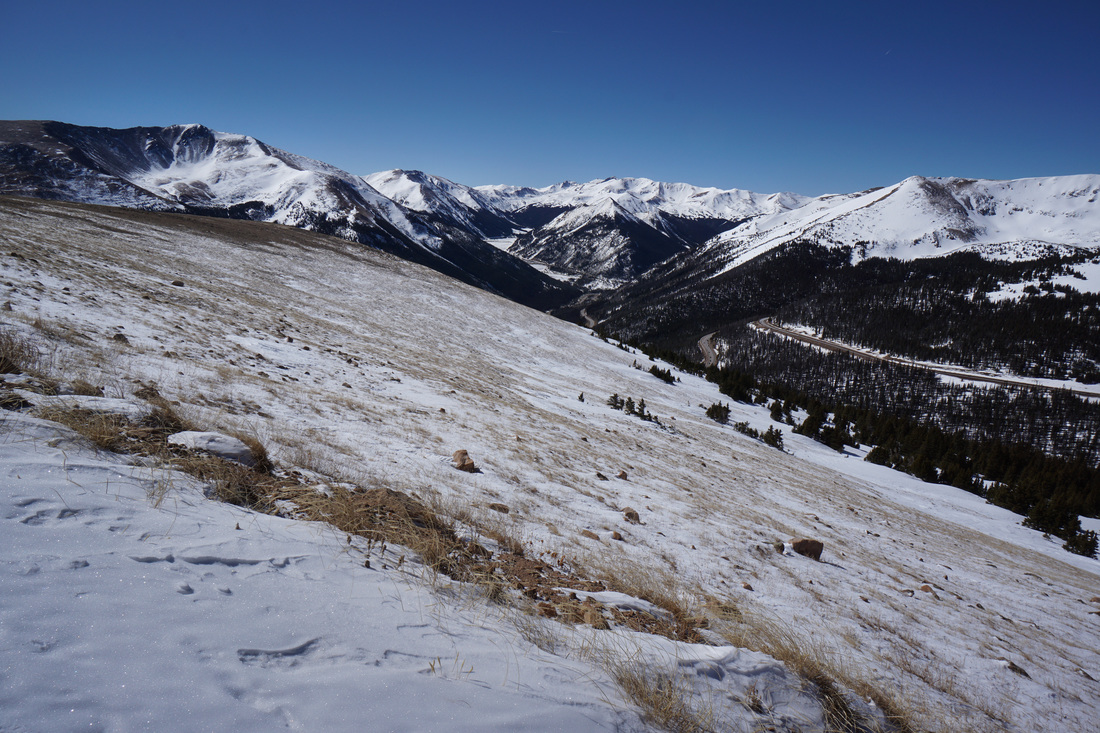
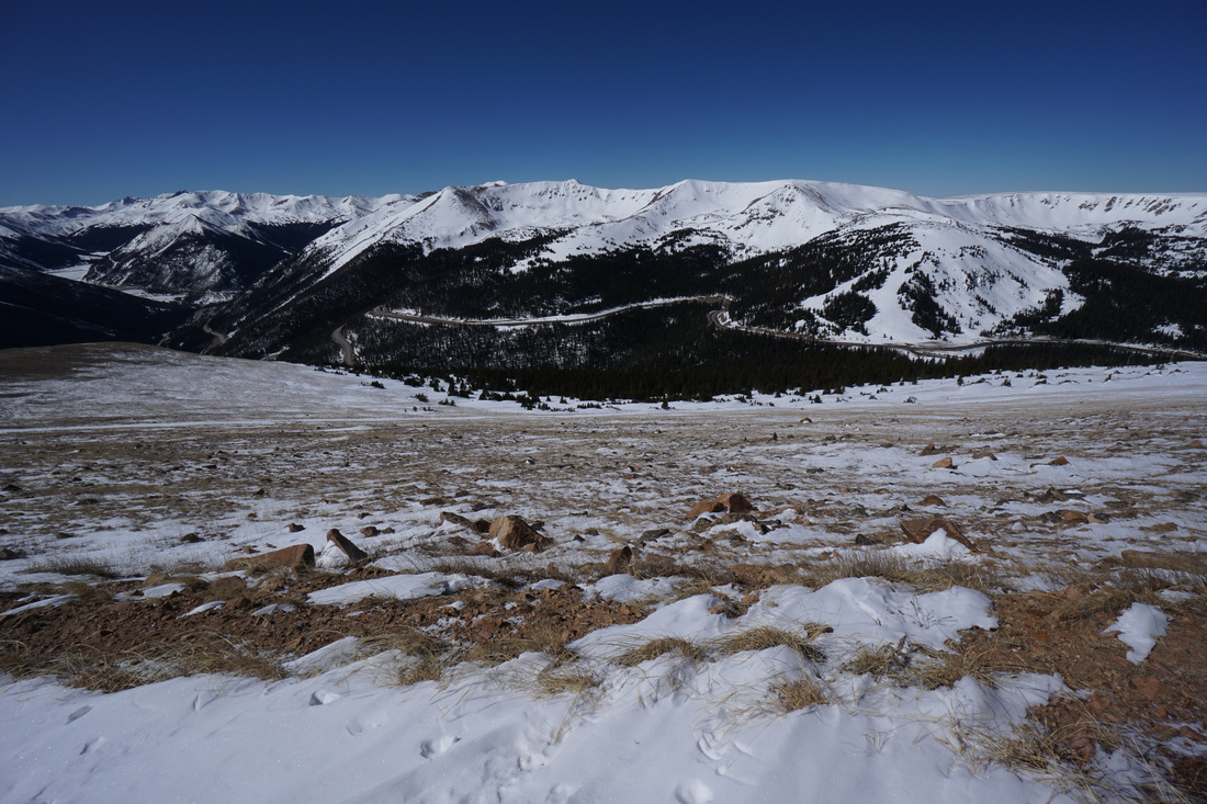
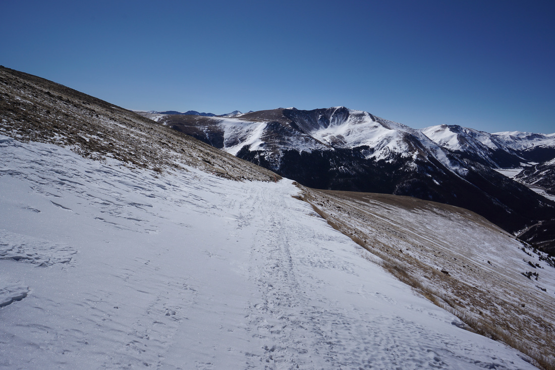
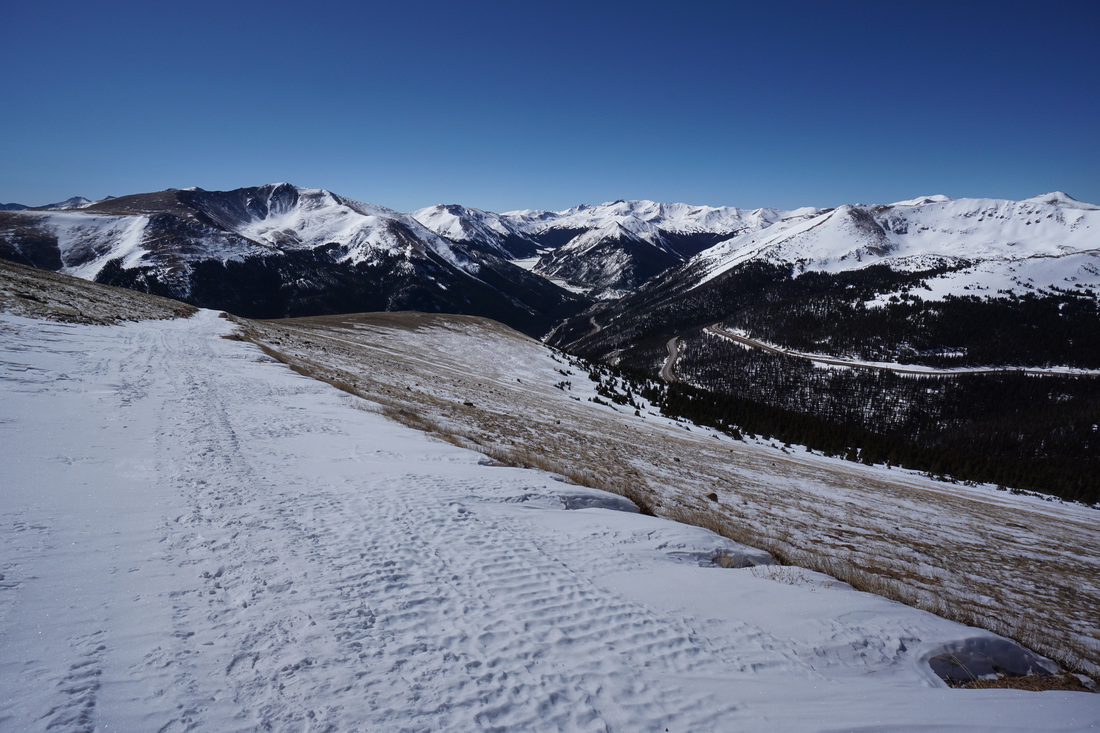
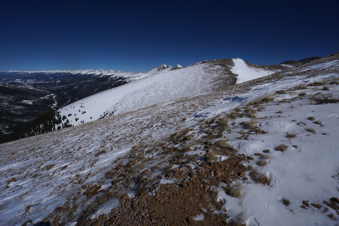
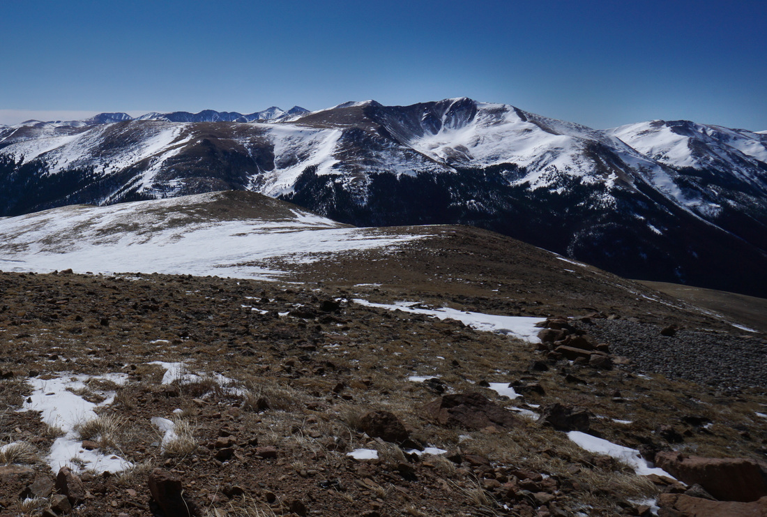
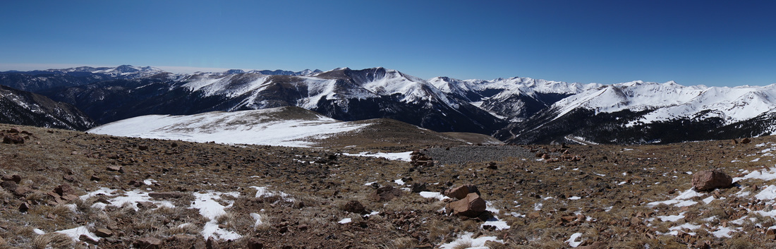
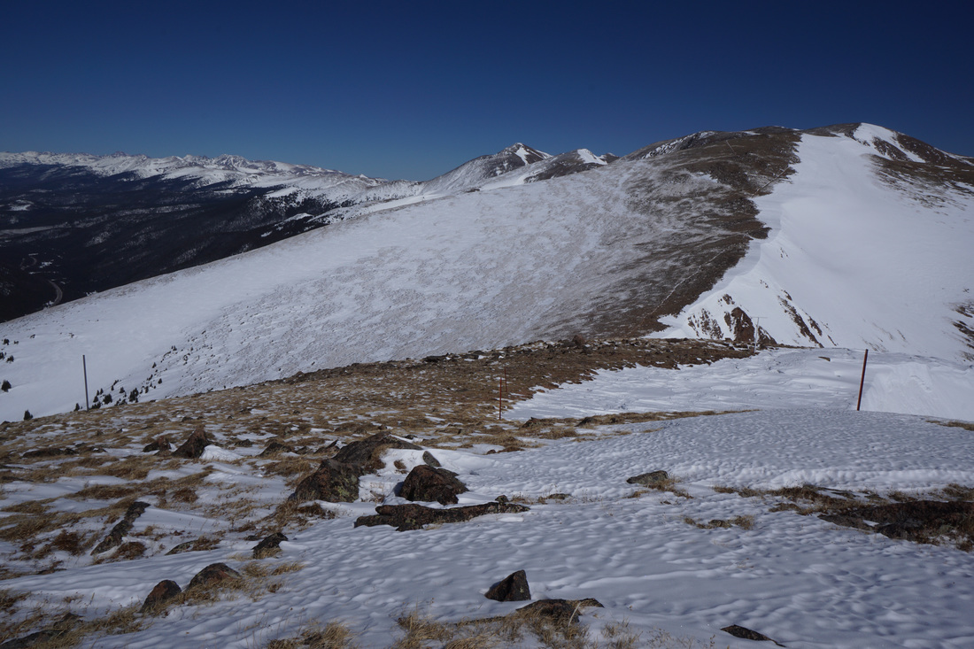
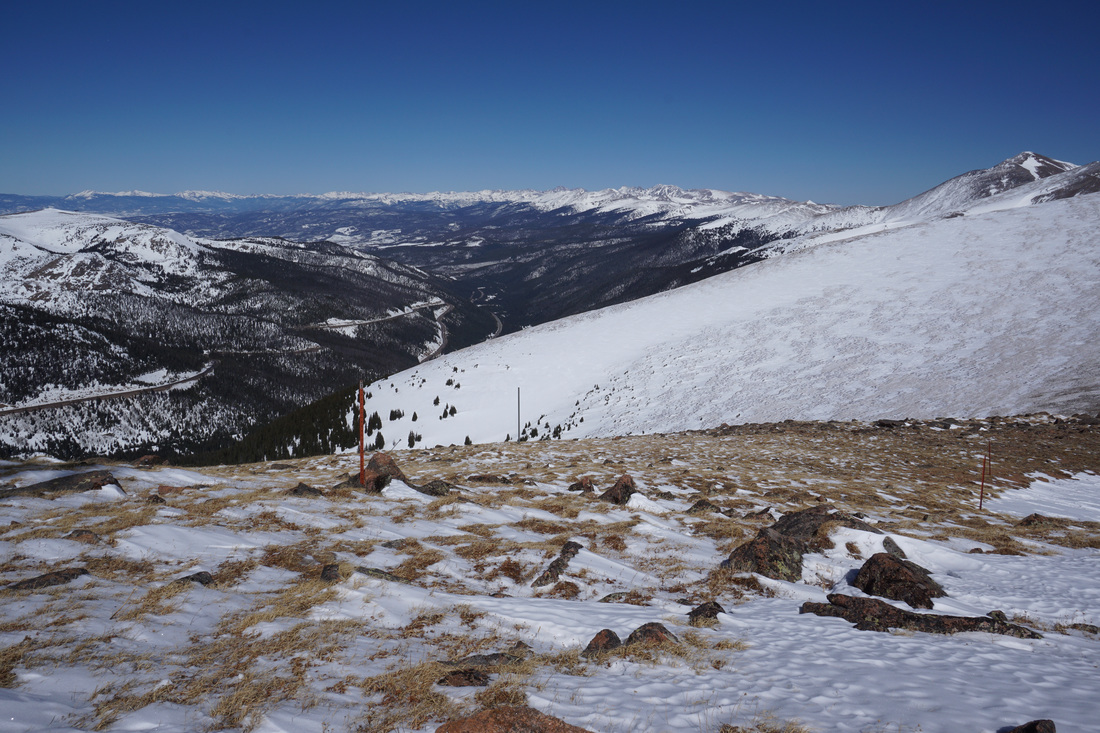
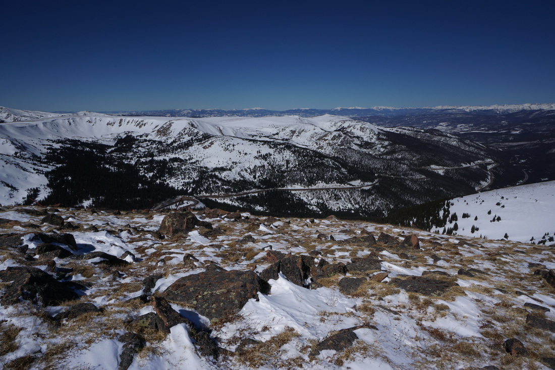
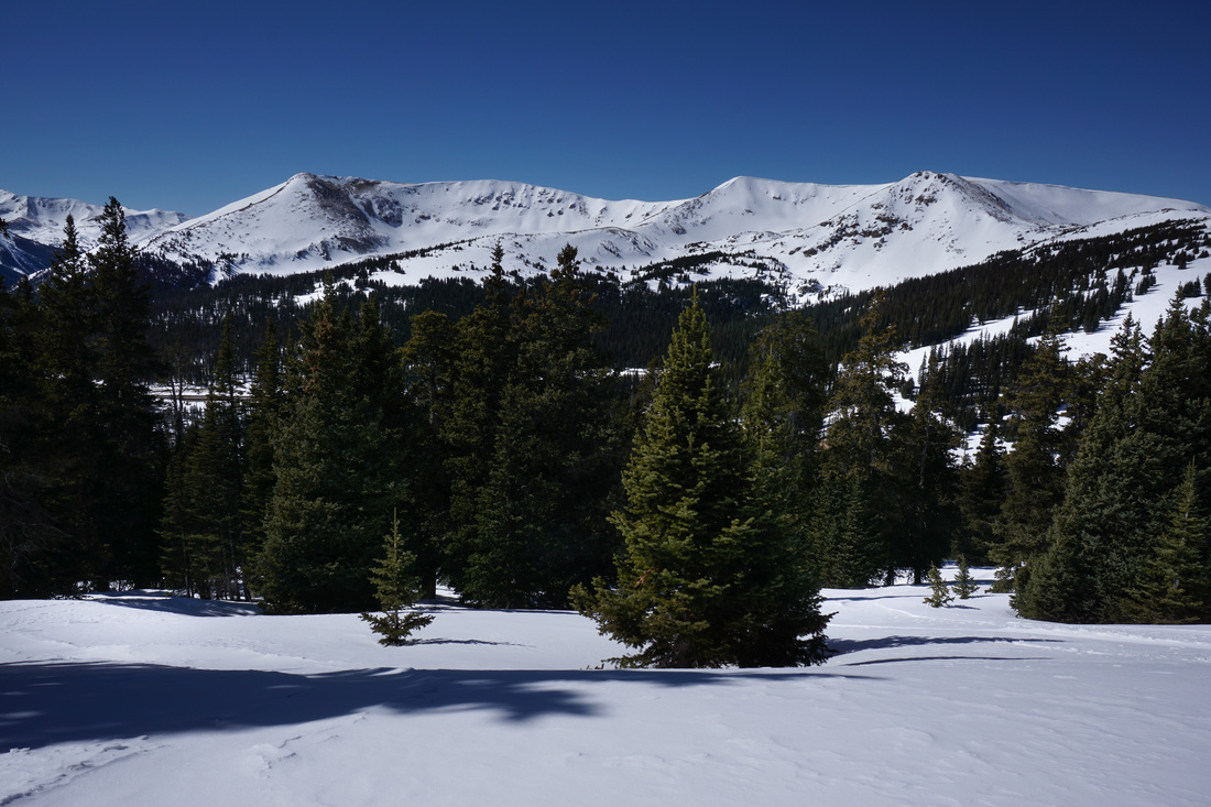
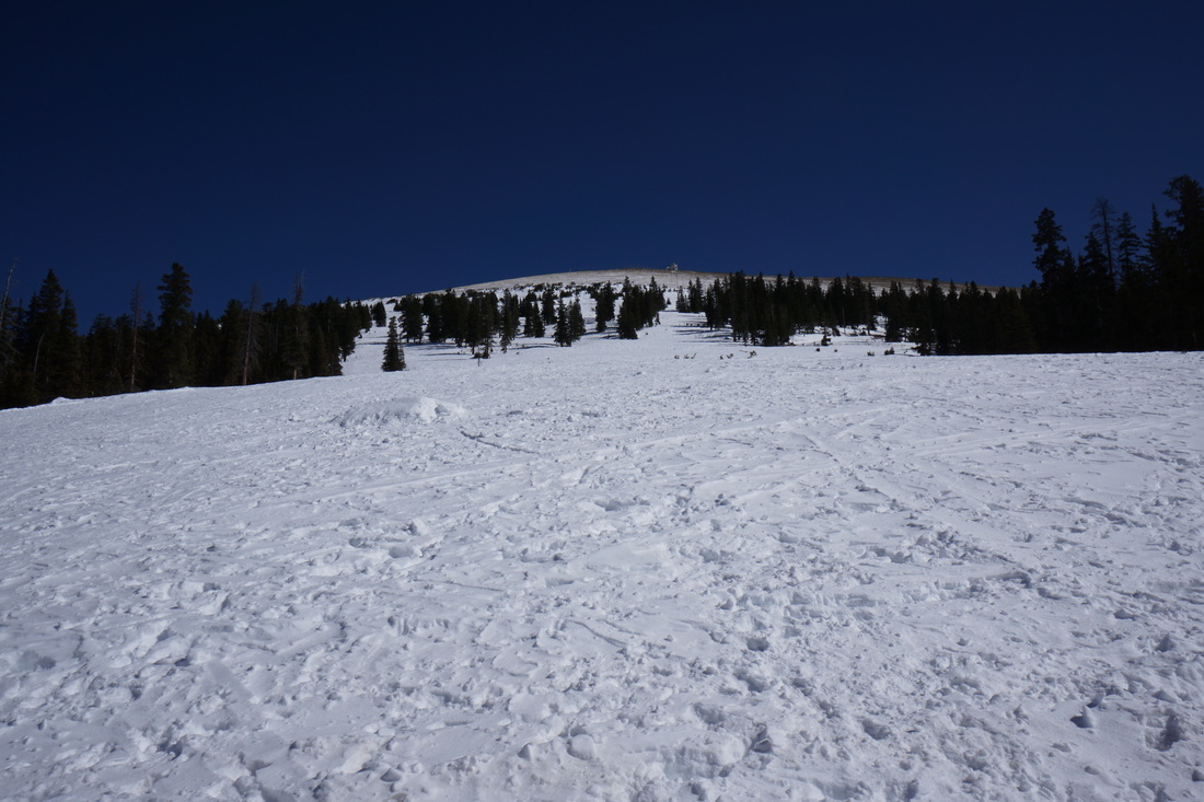
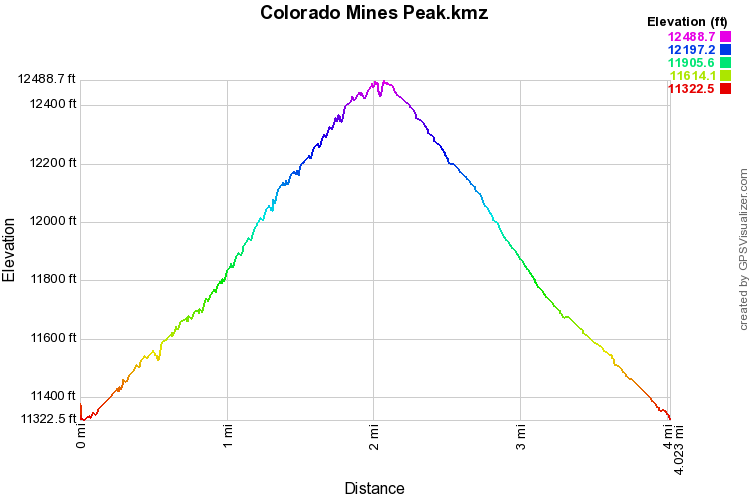
While the trail itself is relatively easy, the elevation makes this more than just an easy walk, you are still climbing a 12,000+ peak in the winter. The peak is typically wind blown so expect strong winds making the trek that much harder. While you are huffing and puffing in the cold winter air, the amazing panoramic views will help by making you feel warm and fuzzy inside. The views from the portion above treeline cannot be described, simply stunning. The location of this peak makes it central to almost the entirety of the Front Range. Views include (but are not limited to...) Mt. Evans, Mt. Bierstaft, Grays and Torreys Peaks, the Henderson Mine, Butler Gulch, Vazquez Peak, Stanley Mountain, Longs Peak, the Indian Peaks, and James Peak. Even with the presence of the weather station, this hike is an an incredible winter peak. It may be the easiest 12,500 peak to climb in the winter. The peak is also a boundary marker for the James Peak Wilderness making it one of the easier ways to access the wilderness area. From the summit you can continue along the Continental Divide Trail to Mt. Flora, Mt. Breckenridge, and beyond. This peak is easy to overlook, but it is truly wonderful, especially in winter. |
|