GO HIKE COLORADO
Get in Touch:
  • HOME
  • ABOUT
  • HIKES BY REGION
    • DENVER AREA >
      • Denver Mountain Parks
      • Jefferson County Open Space
      • Lakewood Parks
      • Denver Area Greenways
    • BOULDER AREA
    • DOUGLAS COUNTY
    • FORT COLLINS AREA
    • COLORADO SPRINGS AREA
    • FRONT RANGE
    • TENMILE & MOSQUITO RANGES
    • GORE RANGE
    • SANGRE DE CRISTO MOUNTAINS
    • PARK RANGE
    • SAWATCH RANGE
    • ELK MOUNTAINS
    • SAN JUAN MOUNTAINS
    • THE FLAT TOPS
    • GRAND MESA
    • COLORADO PLATEAU
    • EASTERN PLAINS
  • NATIONAL PARK HIKES
    • BENT'S OLD FORT NATIONAL HISTORIC SITE
    • BLACK CANYON OF THE GUNNISON NATIONAL PARK
    • COLORADO NATIONAL MONUMENT
    • CURECANTI NATIONAL RECREATION AREA
    • DINOSAUR NATIONAL MONUMENT
    • FLORISSANT FOSSIL BEDS NATIONAL MONUMENT
    • MESA VERDE NATIONAL PARK
    • ROCKY MOUNTAIN NATIONAL PARK
    • GREAT SAND DUNES NATIONAL PARK
    • HOVENWEEP NATIONAL MONUMENT
    • SAND CREEK MASSACRE NATIONAL HISTORIC SITE
    • YUCCA HOUSE NATIONAL MONUMENT
  • HIKES BY CATEGORY
    • HIKES TO ALPINE LAKES
    • HIKES TO PEAKS & PASSES
    • HIKES THROUGH CANYONS
    • HIKES WITH FALL COLORS
    • HIKES ALONG THE I-70 CORRIDOR
    • HIKES ON PAVED TRAILS
    • HIKES FOR KIDS
    • HIKES TO WATERFALLS
    • HIKES ALONG RIVERS
    • HIKES WITH ROCK FORMATIONS
    • HIKES WITH WILDFLOWERS
    • WINTER HIKES
  • NEWS
  • WEBCAMS
  • $UPPORT GHC
  • INTERACTIVE MAP

Butler Gulch
Arapaho National Forest

Date Hiked: December 27, 2013

​Distance: 4 mi (RT)
Elevation Gain: 1,300 ft
Elevation Min/Max:  10,430 to 11,574ft
Trailhead Lat/Long: 39º 46' 17" N; 105º 51' 21" W
Managing Agency: U.S. Forest Service
Fee: None

Butler Gulch Webpage (USFS)
Picture

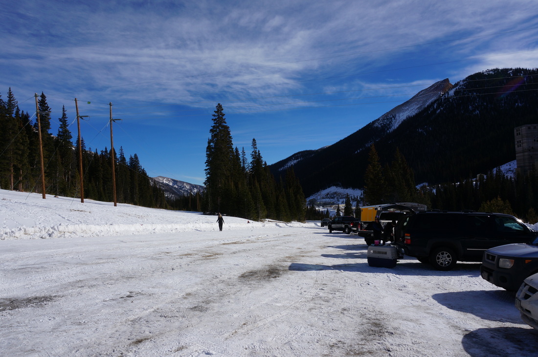
Directions:  The winter trailhead for Butler Gulch starts at the large parking lot across from the Henderson Mine.  From Denver, take I-70 West and Hwy 40 North towards Berthoud Pass.  Just before you start the switchbacks make a left towards Jones Pass and the Big Bend Campground.  Stay on this road until you see the sign for the Henderson Mine.  On the right is a dirt road that leads to a large parking area.  The Continental Divide Trail is off to the right, but for this hike start walking up the snow packed dirt road towards Jones Pass, after .25 mi or so a sign will point to the left for Butler Gulch.  Pass through the gate and cross over the culvert to find the trail.

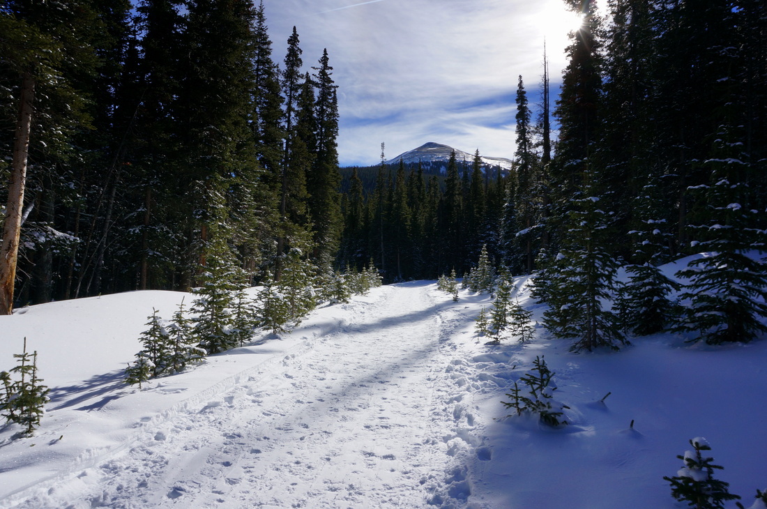
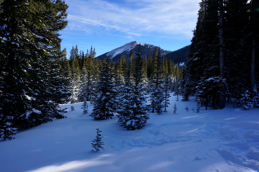
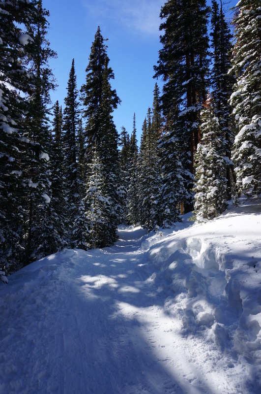
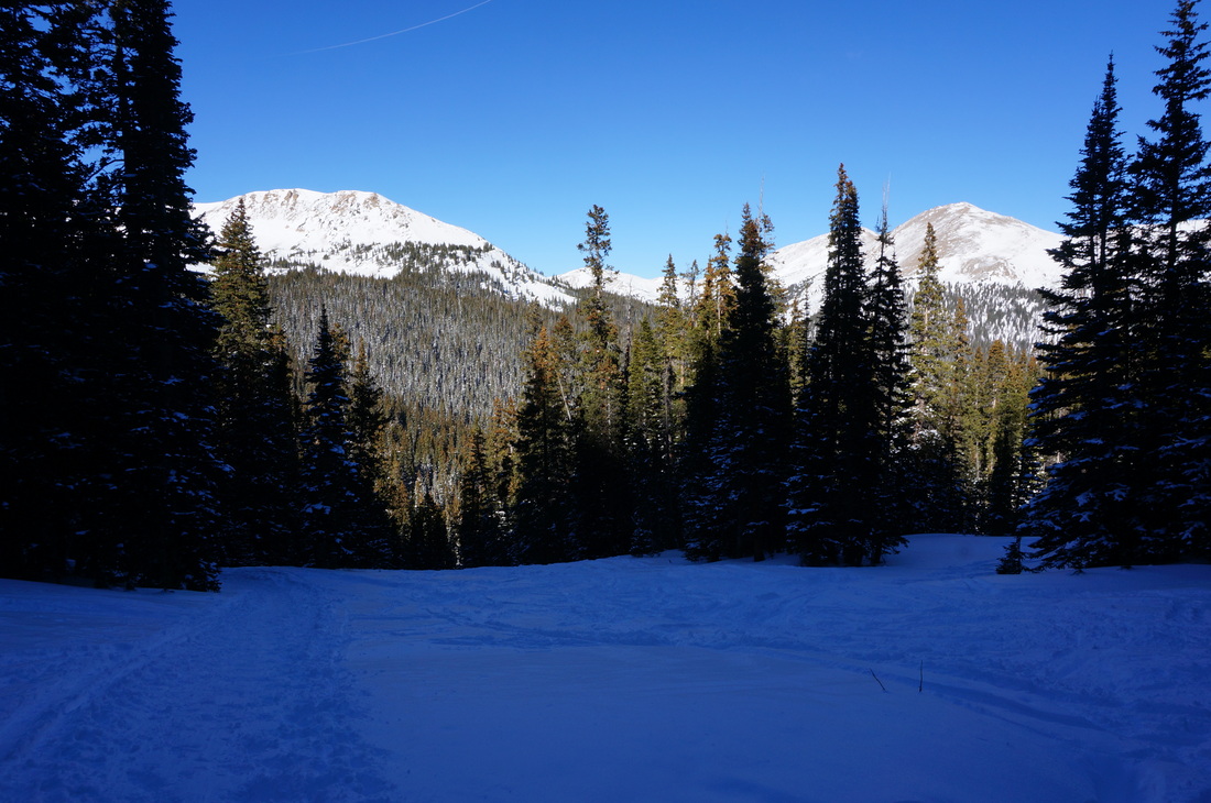
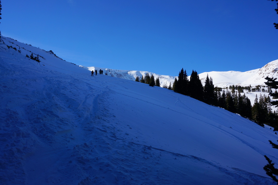
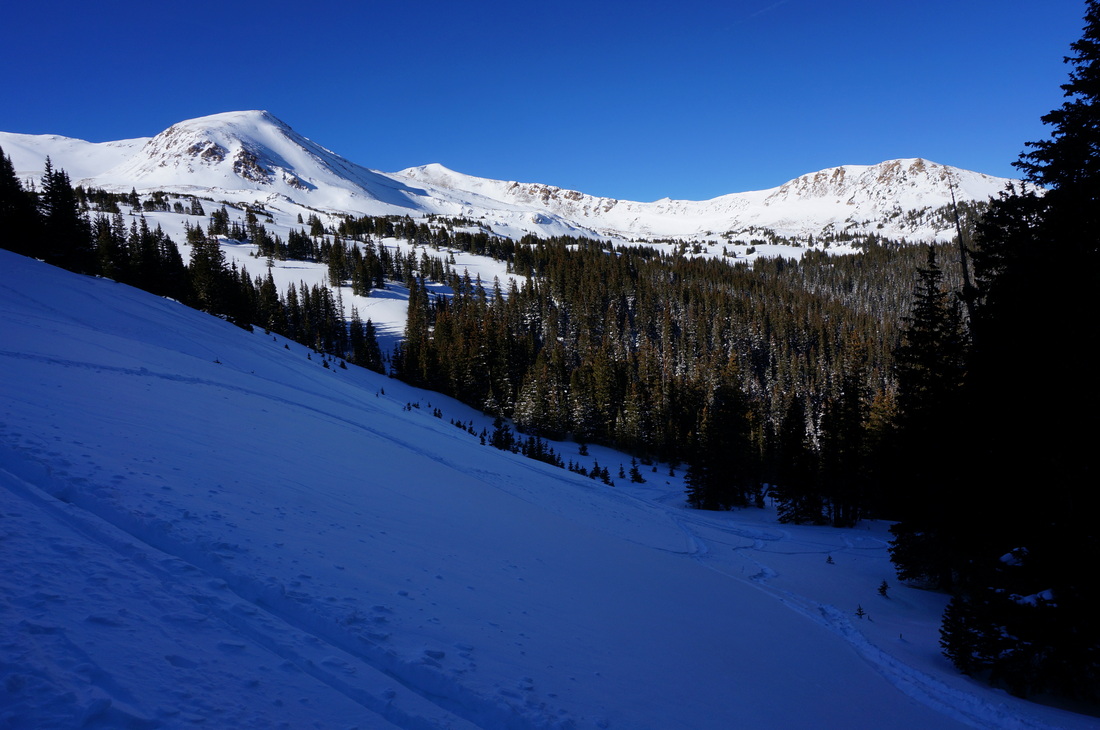
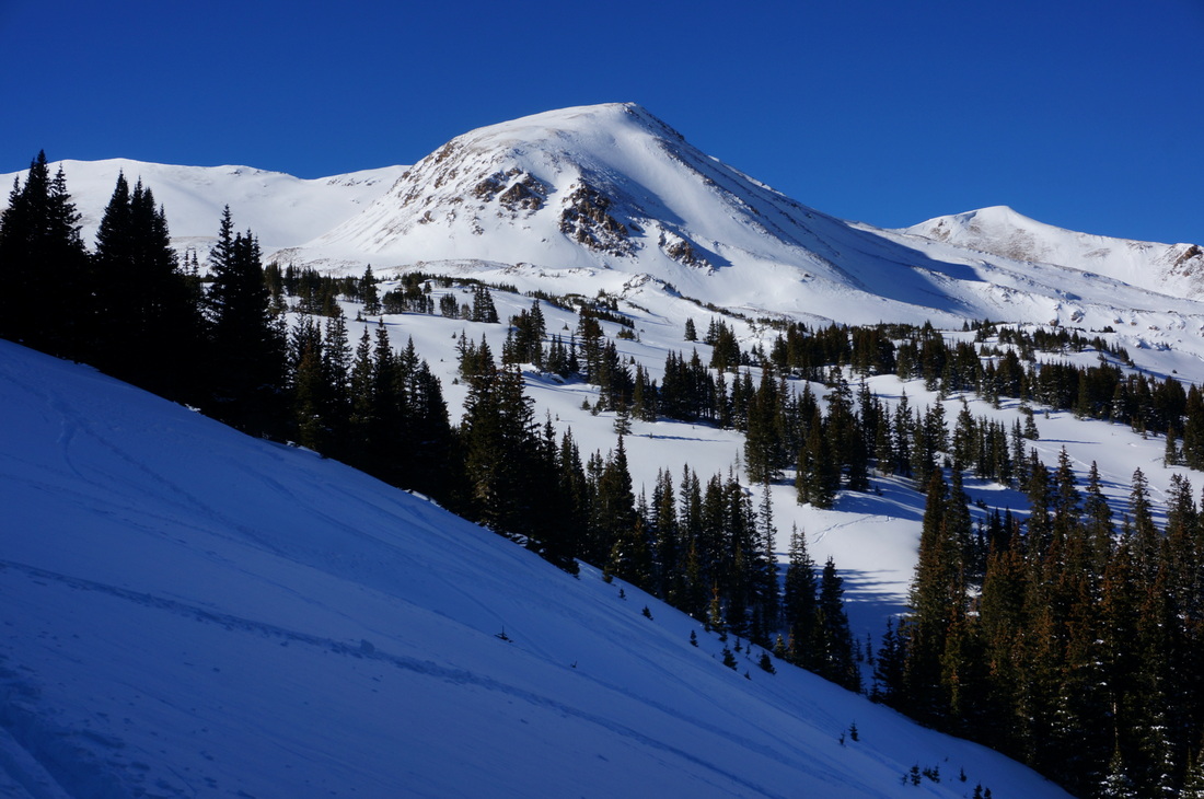
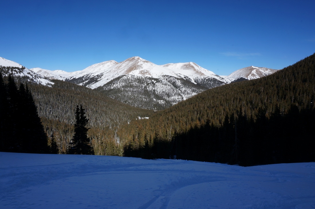
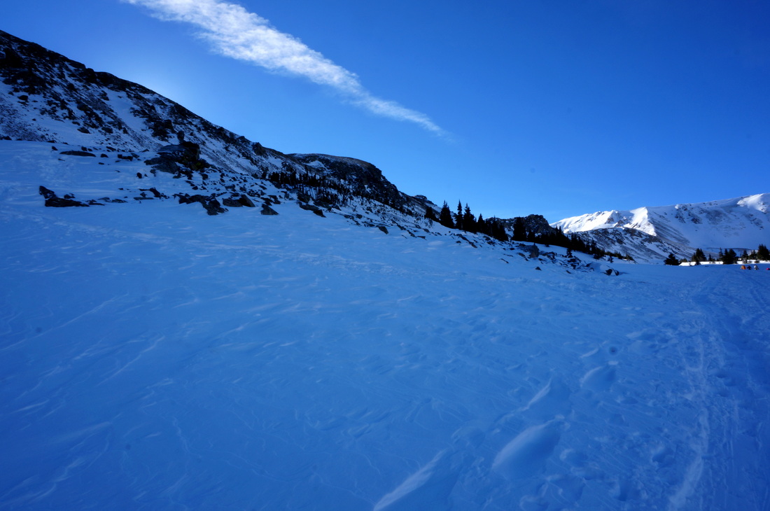
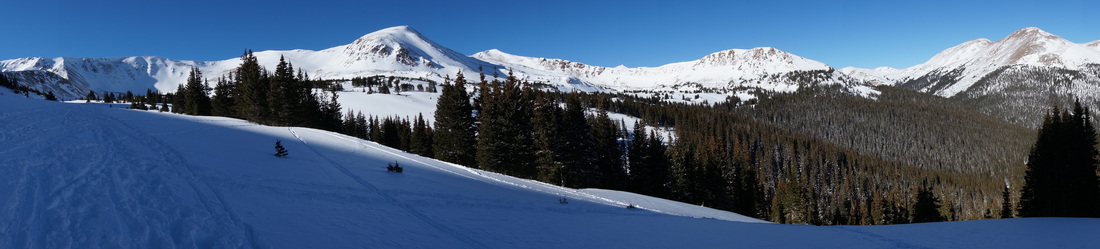
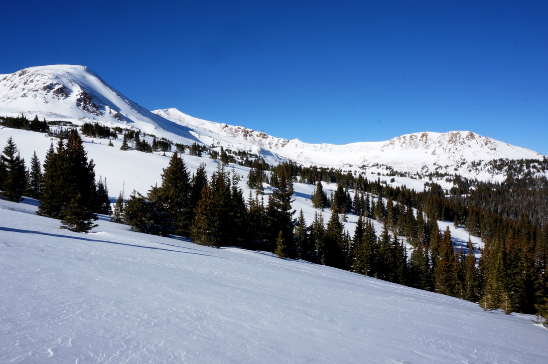
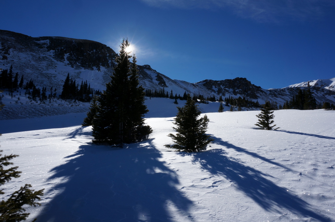
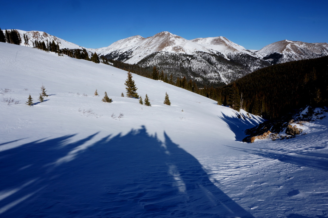
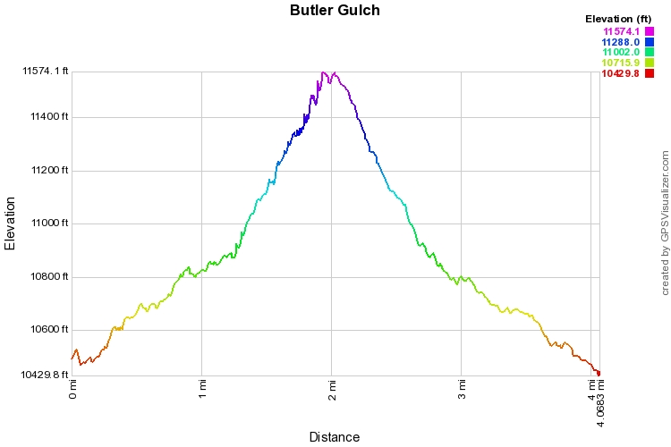
The trail to Butler Gulch is very popular in the winter, mostly for backcountry skiers, but also for snowshoe hikers.  The first 1.5 miles are packed snow and you might not even need your snowshoes if you have trekking poles or spikes for traction.  1 mile in, you'll cross a creek and start ascending the steep section of the trail.  Once you break treeline, you will need your showshoes for sure.  Once above treeline you'll find yourself in an alpine bowl and can go wherever you wish, explore the bowl to your heart's delight, just look out for skiers.  The official end of the hike is some old mine ruins, about .5 mi from the end of the map above.
© Go Hike Colorado, 2020.  All Rights Reserved. 
Use of photographs without prior authorization is
​strictly prohibited.


Contact us at:
[email protected]
Legal Disclaimer - Information provided on this site is based upon our own observations, always double check information with the appropriate land management agency before heading into the backcountry.  Backcountry travel is inherently dangerous, please take all proper precautions.  Go Hike Colorado is not responsible for injury or incident.