GO HIKE COLORADO
Get in Touch:
  • HOME
  • ABOUT
  • HIKES BY REGION
    • DENVER AREA >
      • Denver Mountain Parks
      • Jefferson County Open Space
      • Lakewood Parks
      • Denver Area Greenways
    • BOULDER AREA
    • DOUGLAS COUNTY
    • FORT COLLINS AREA
    • COLORADO SPRINGS AREA
    • FRONT RANGE
    • TENMILE & MOSQUITO RANGES
    • GORE RANGE
    • SANGRE DE CRISTO MOUNTAINS
    • PARK RANGE
    • SAWATCH RANGE
    • ELK MOUNTAINS
    • SAN JUAN MOUNTAINS
    • THE FLAT TOPS
    • GRAND MESA
    • COLORADO PLATEAU
    • EASTERN PLAINS
  • NATIONAL PARK HIKES
    • BENT'S OLD FORT NATIONAL HISTORIC SITE
    • BLACK CANYON OF THE GUNNISON NATIONAL PARK
    • COLORADO NATIONAL MONUMENT
    • CURECANTI NATIONAL RECREATION AREA
    • DINOSAUR NATIONAL MONUMENT
    • FLORISSANT FOSSIL BEDS NATIONAL MONUMENT
    • MESA VERDE NATIONAL PARK
    • ROCKY MOUNTAIN NATIONAL PARK
    • GREAT SAND DUNES NATIONAL PARK
    • HOVENWEEP NATIONAL MONUMENT
    • SAND CREEK MASSACRE NATIONAL HISTORIC SITE
    • YUCCA HOUSE NATIONAL MONUMENT
  • HIKES BY CATEGORY
    • HIKES TO ALPINE LAKES
    • HIKES TO PEAKS & PASSES
    • HIKES THROUGH CANYONS
    • HIKES WITH FALL COLORS
    • HIKES ALONG THE I-70 CORRIDOR
    • HIKES ON PAVED TRAILS
    • HIKES FOR KIDS
    • HIKES TO WATERFALLS
    • HIKES ALONG RIVERS
    • HIKES WITH ROCK FORMATIONS
    • HIKES WITH WILDFLOWERS
    • WINTER HIKES
  • NEWS
  • WEBCAMS
  • $UPPORT GHC
  • INTERACTIVE MAP

Shoshone Trail
Ramsay-Shockey Open Space

Date Hiked:  July 4, 2018

Distance: 2.7 mi (RT)
Elevation Gain: 450 ft
Elevation Min/Max: 6,564 to 6,863 ft
Trailhead Lat/Long: 40º 22' 02" N; 105º 17' 07" W
Managing Agency: Larimer County Open Space
​Fee: Yes

Ramsay-Shockey Open Space Website
Picture

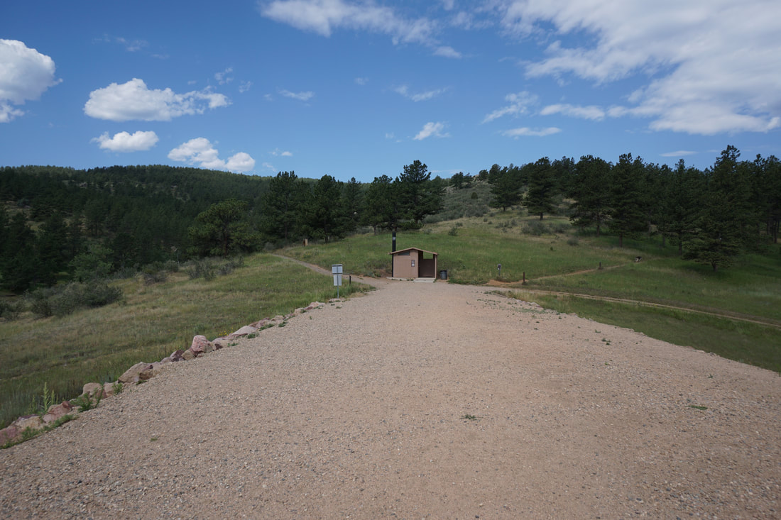
DIRECTIONS:  From I-25, take the exit for CO-66 (Exit 243) and head west on CO-66.  Turn right onto US-287 N/N 107ths Street.  After about 7 miles, take S Co Rd 29 west to Co Rd 18E.  18E becomes Pole Hill Road.  Follow Pole Hill Road to the park entrance and then follow signs to the Ramsay-Shockey Trailhead. 

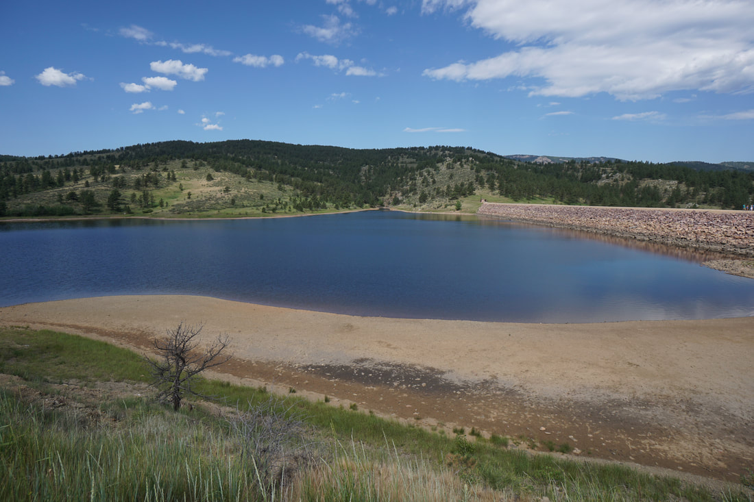
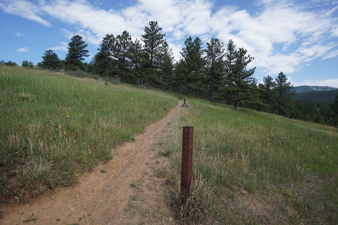
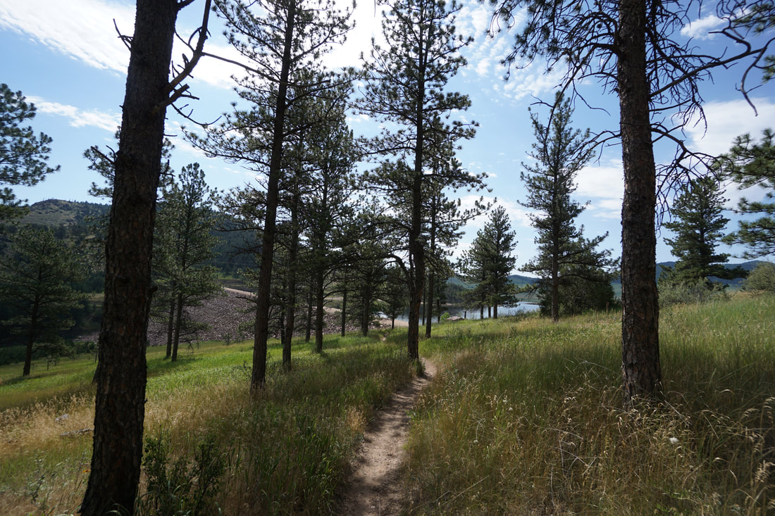
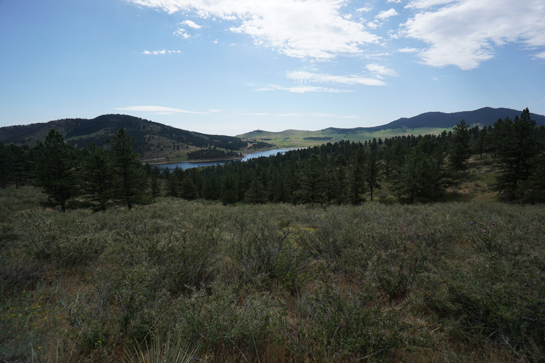
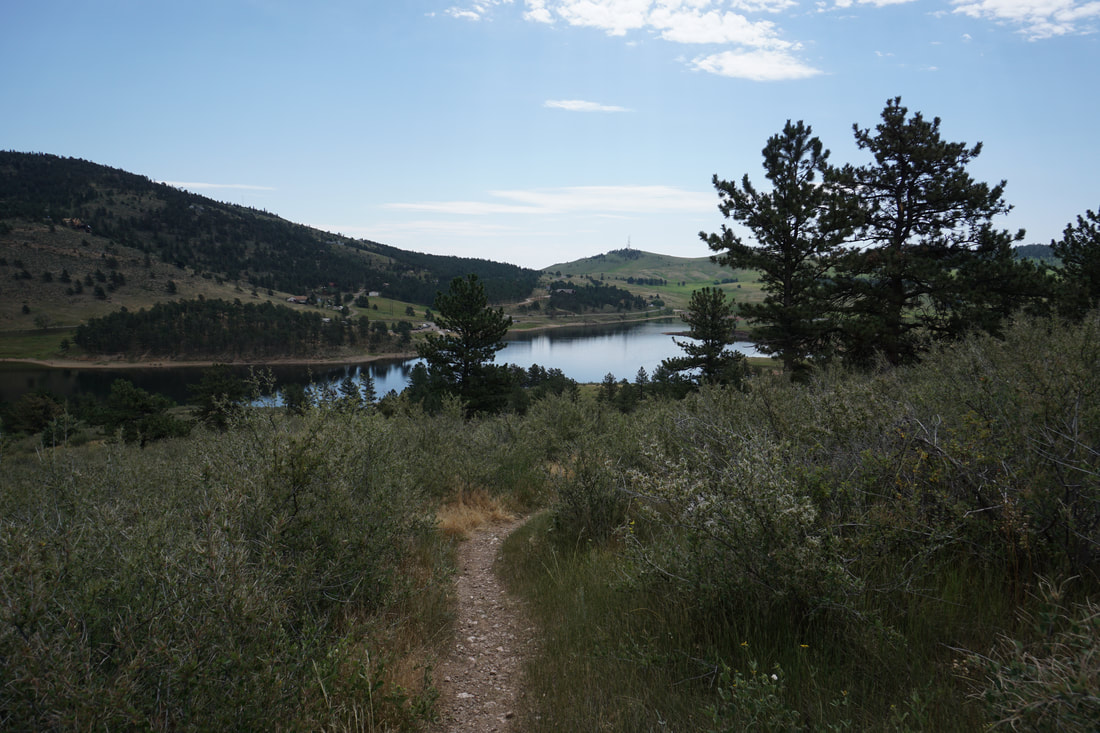
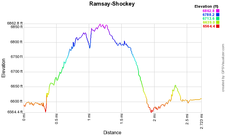
Ramsay-Shockey Open Space is part of the Larimer County open space system and connected to Pinewood Reservoir Park.  The Open Space consists of the Shoshone Loop Trail and the Besant Point Trail that circles Pinewood Reservoir.  The Shoshone Loop is a shorter outing but climbs up the forested hills to give you a birds eye view of the reservoir and surrounding landscape. 

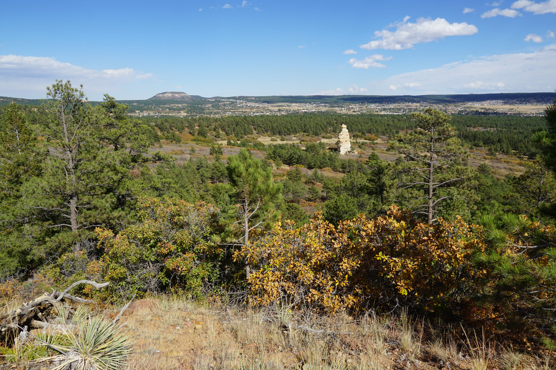
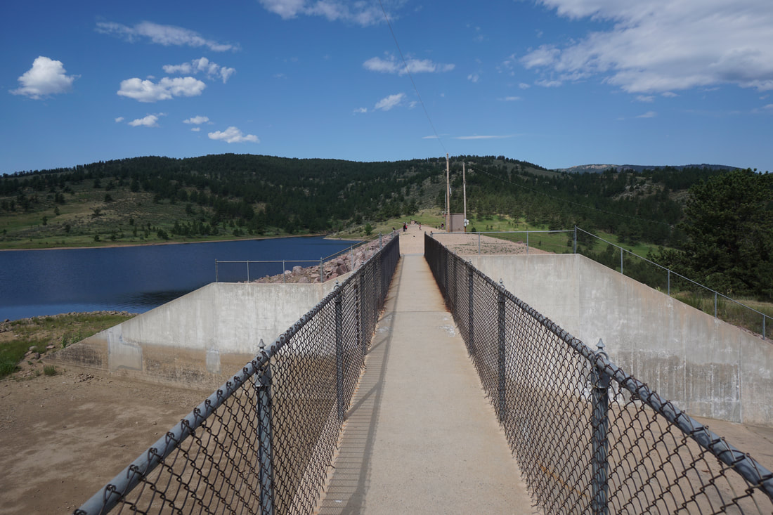
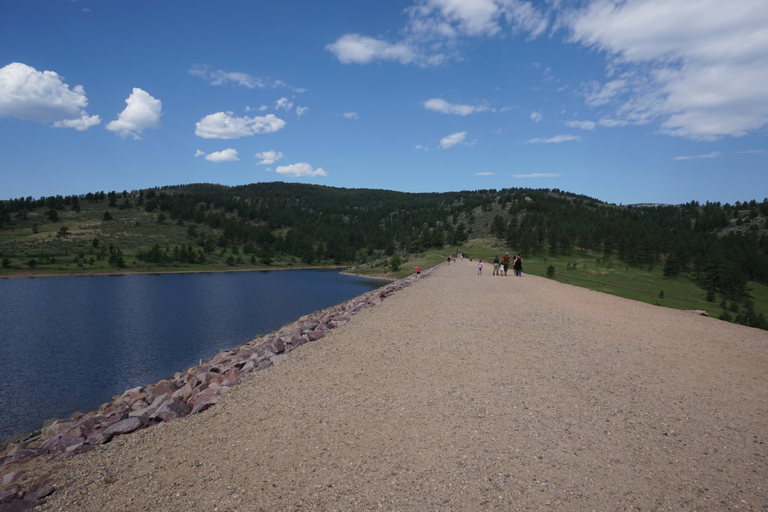
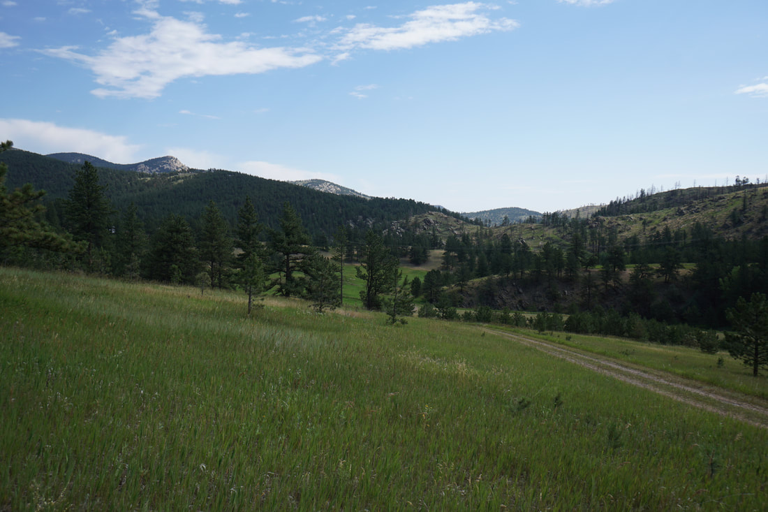
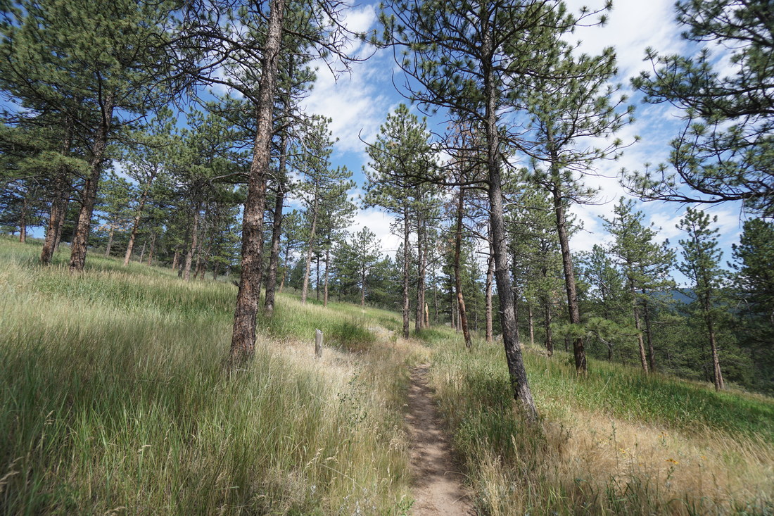
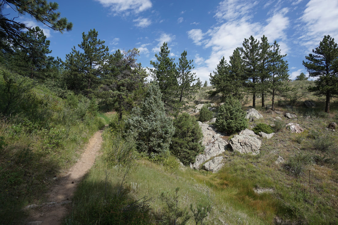
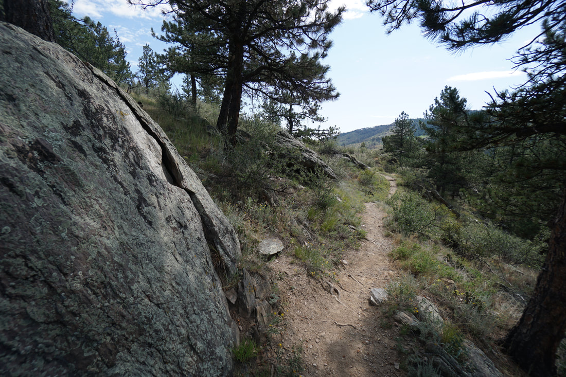
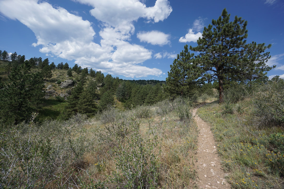
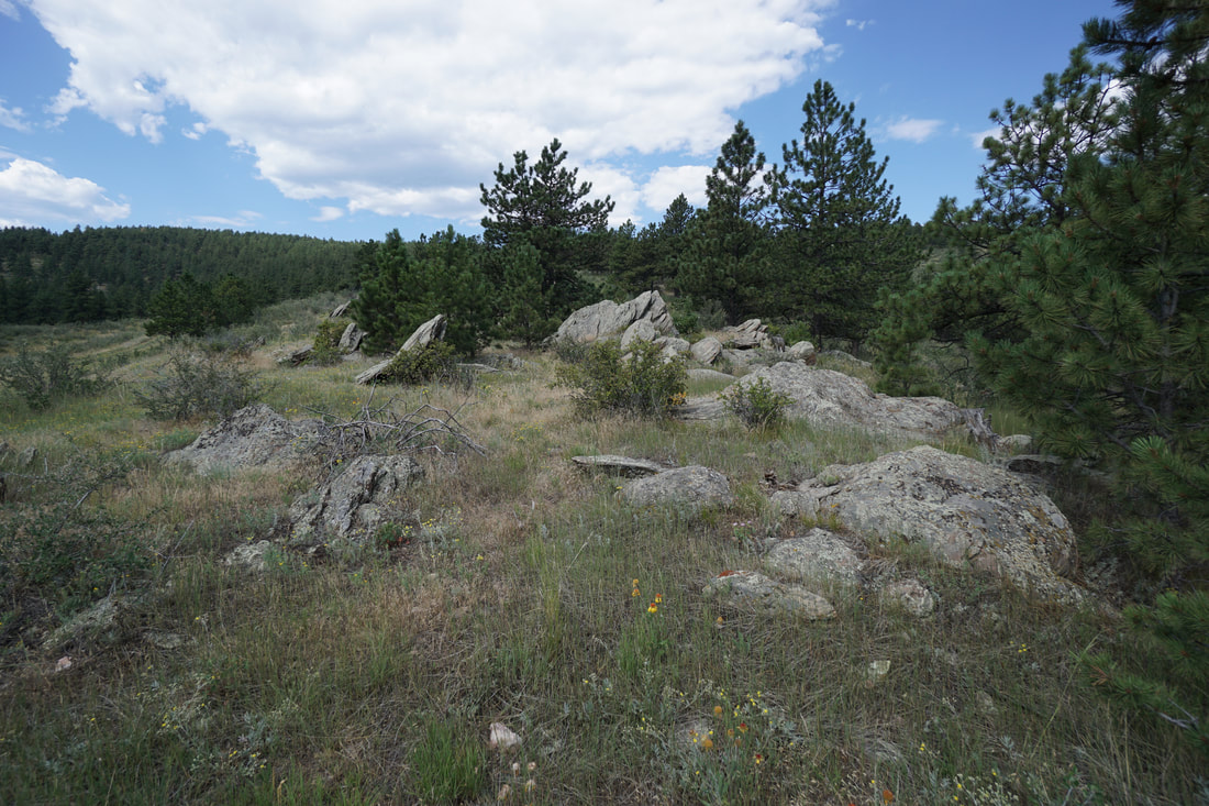
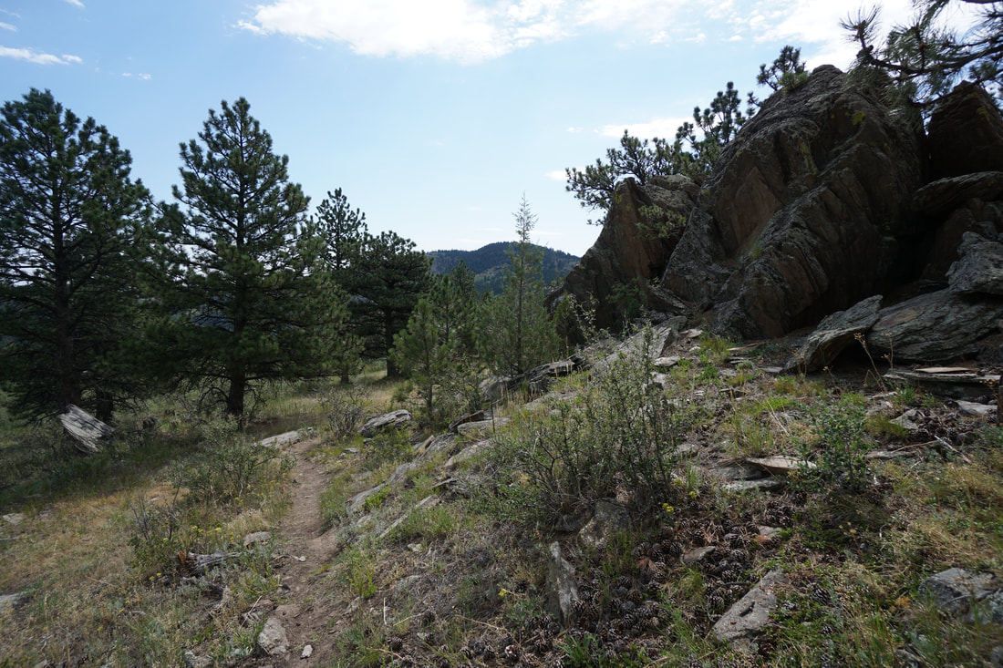
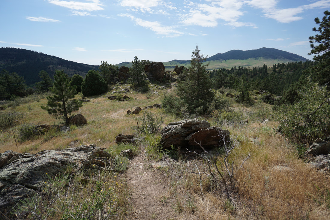
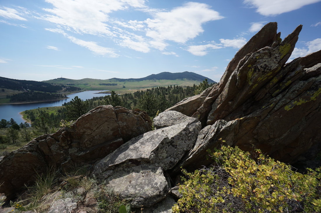
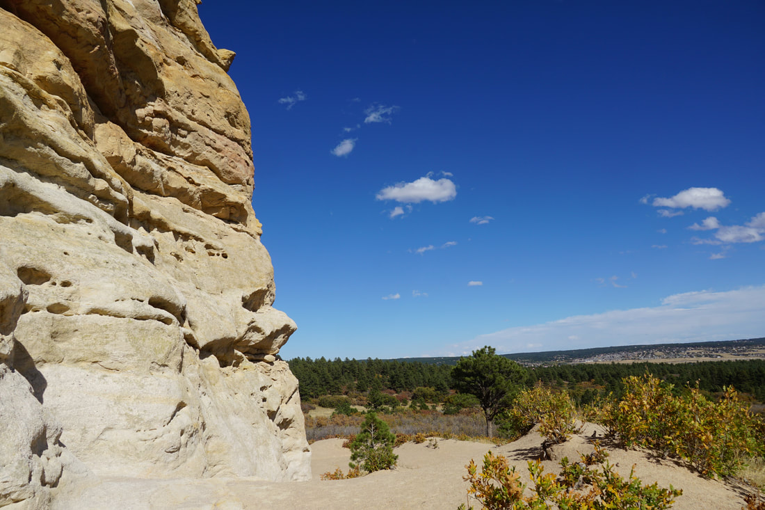
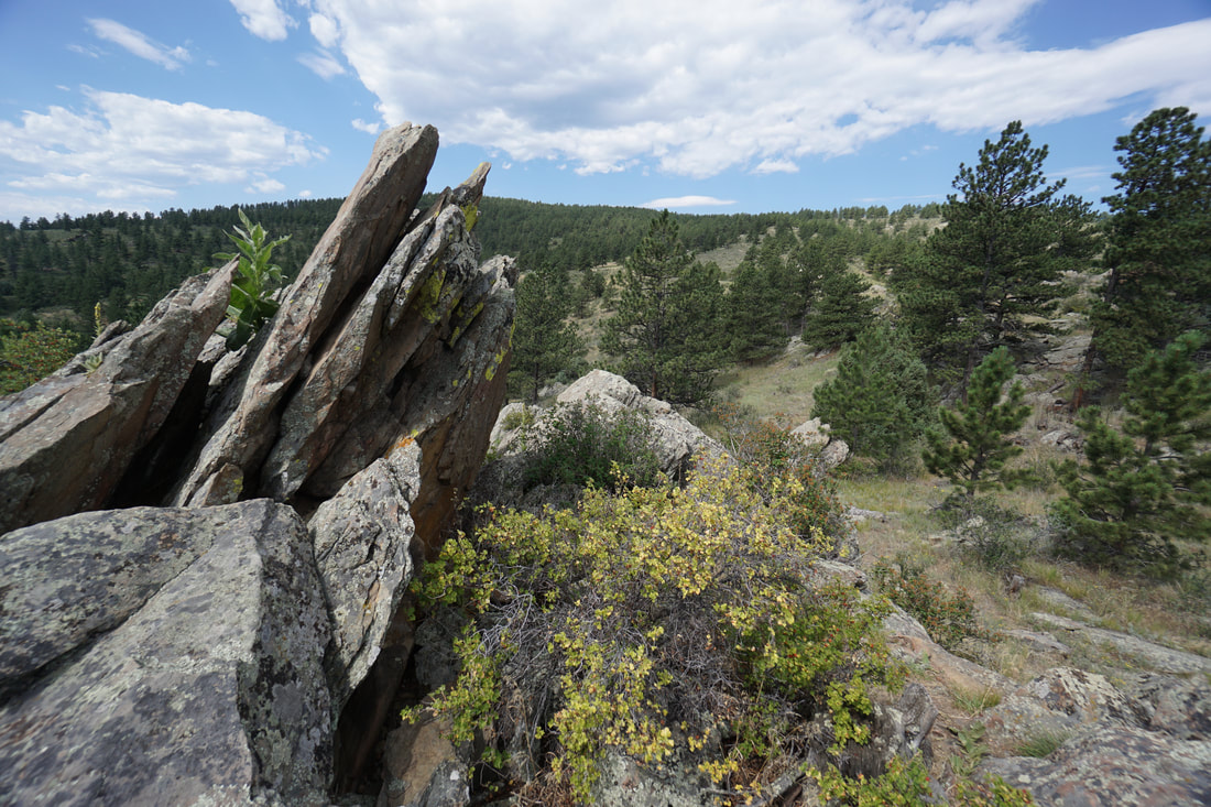
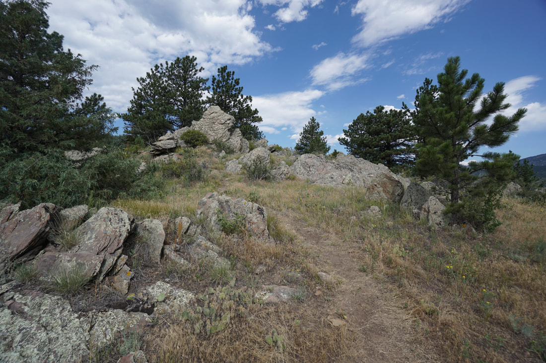
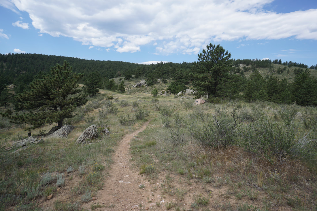
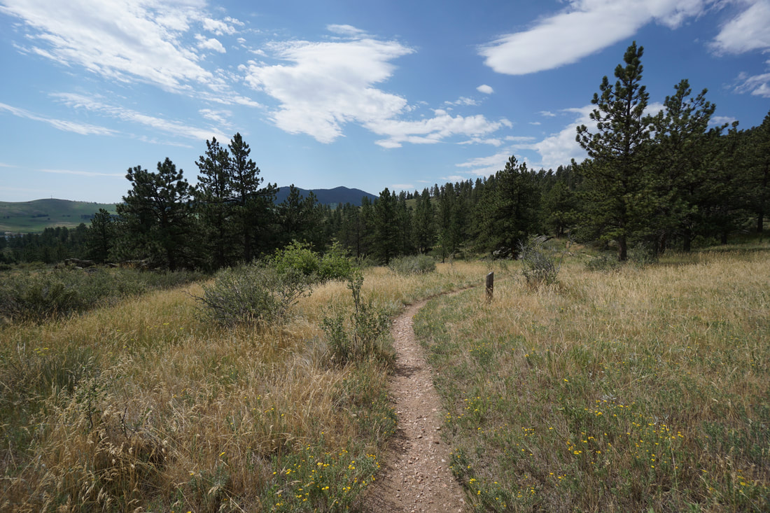
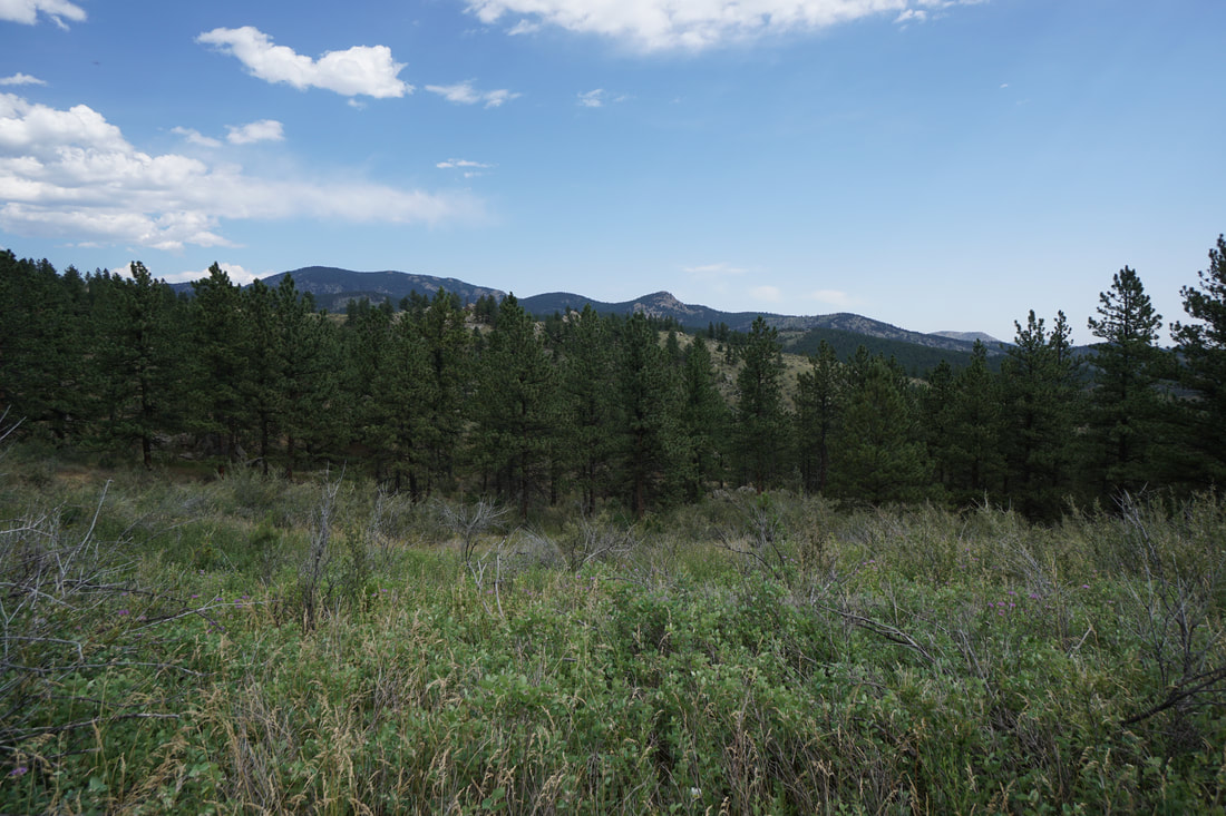
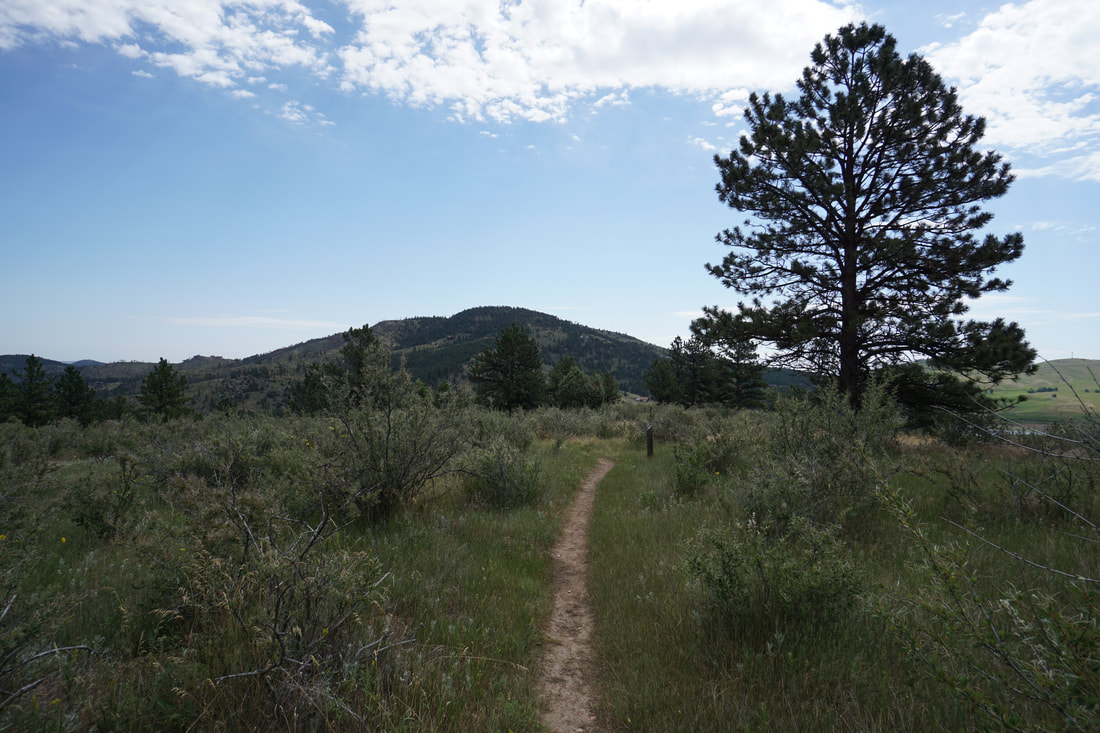
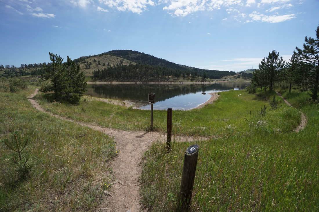
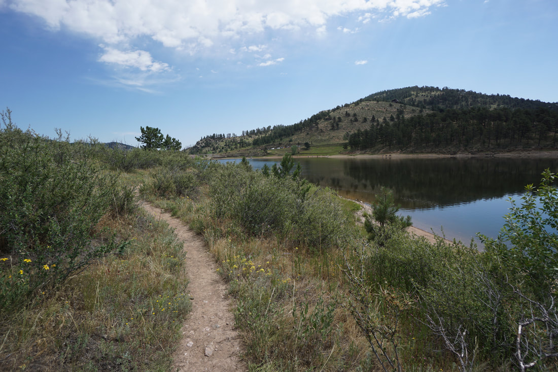
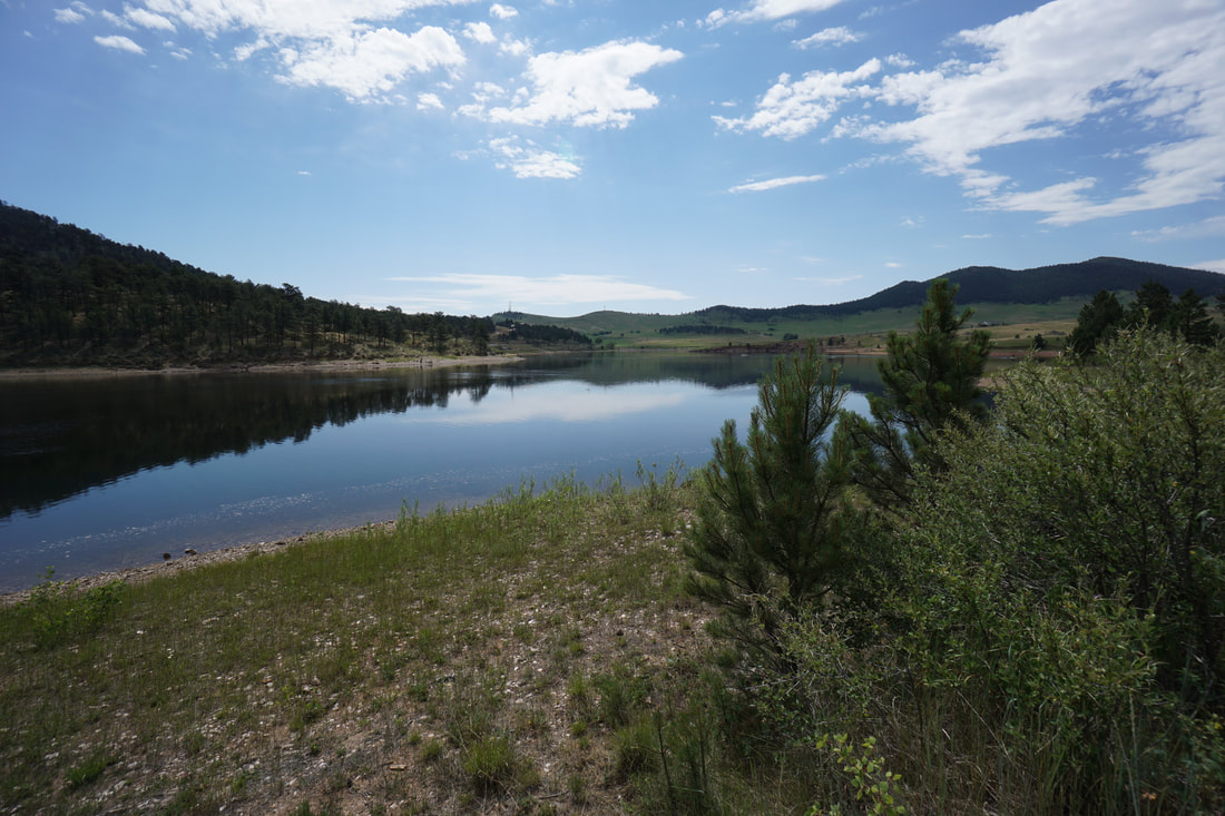
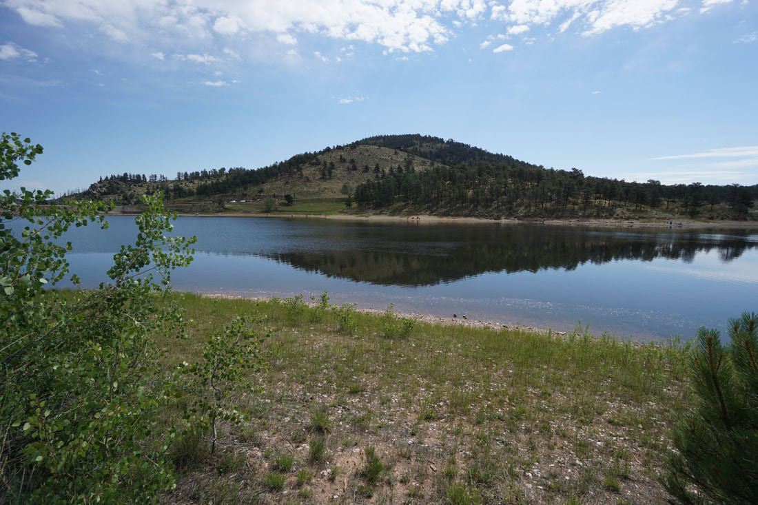
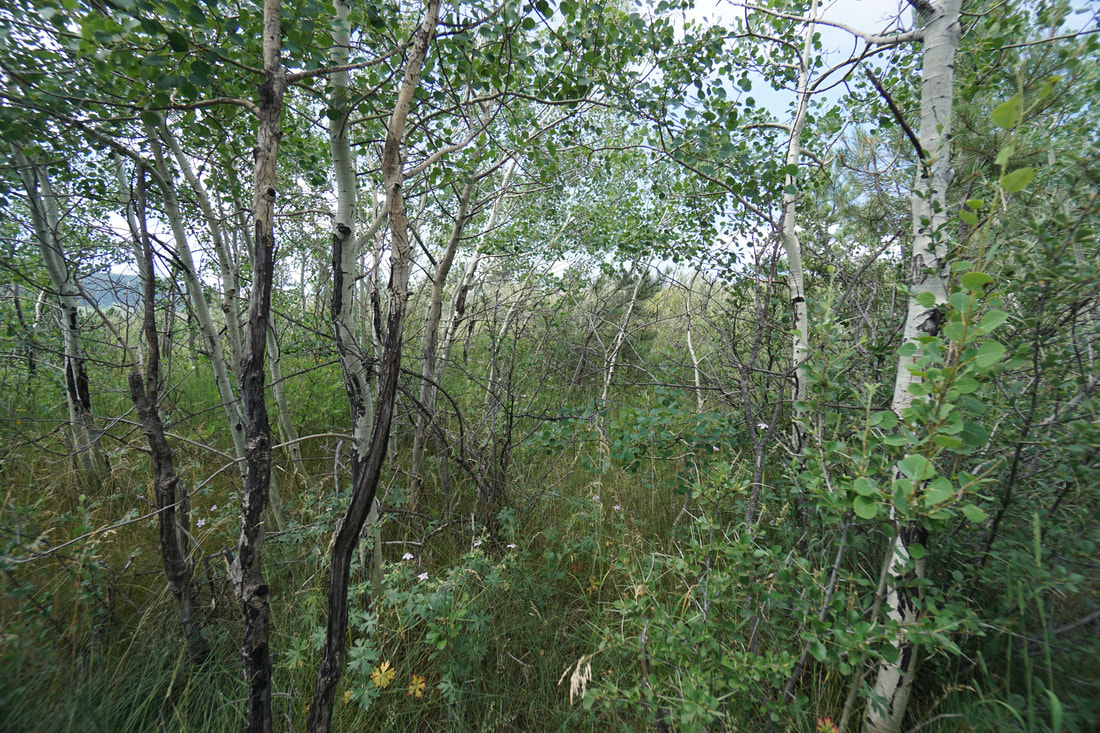
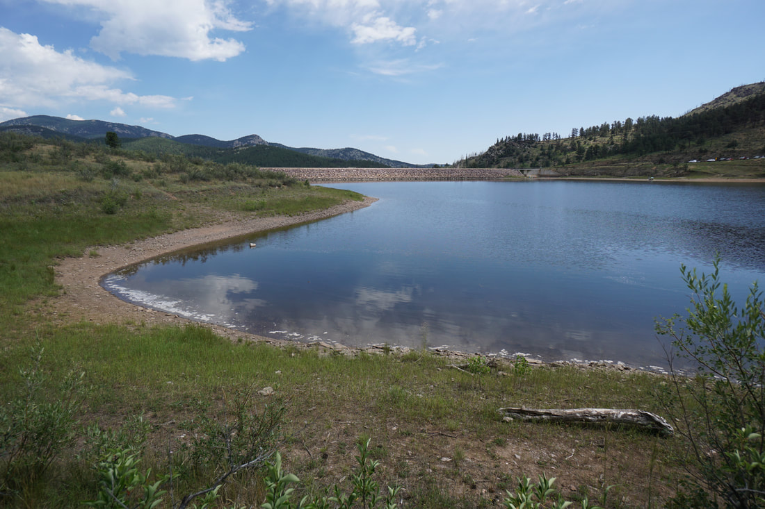
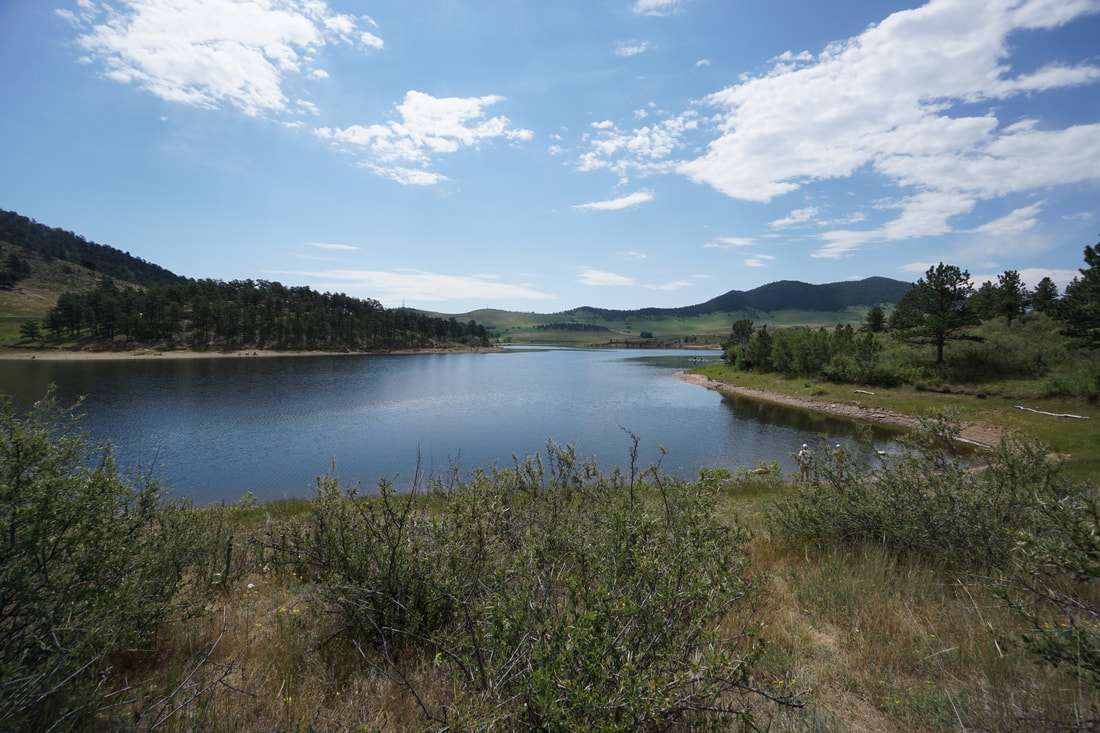
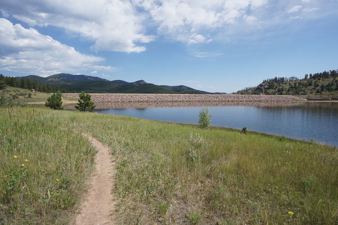
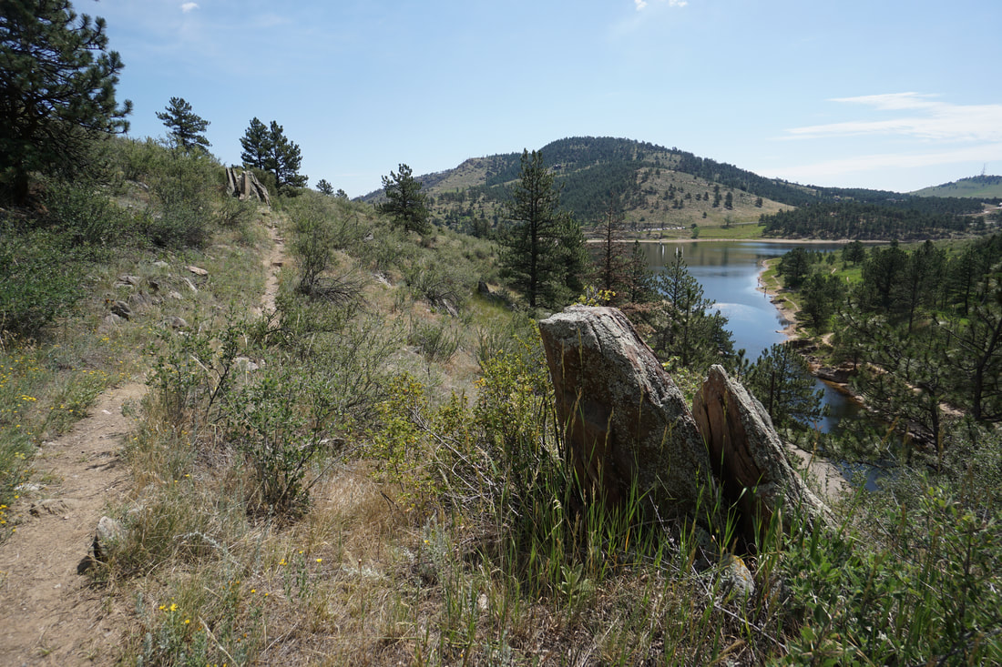
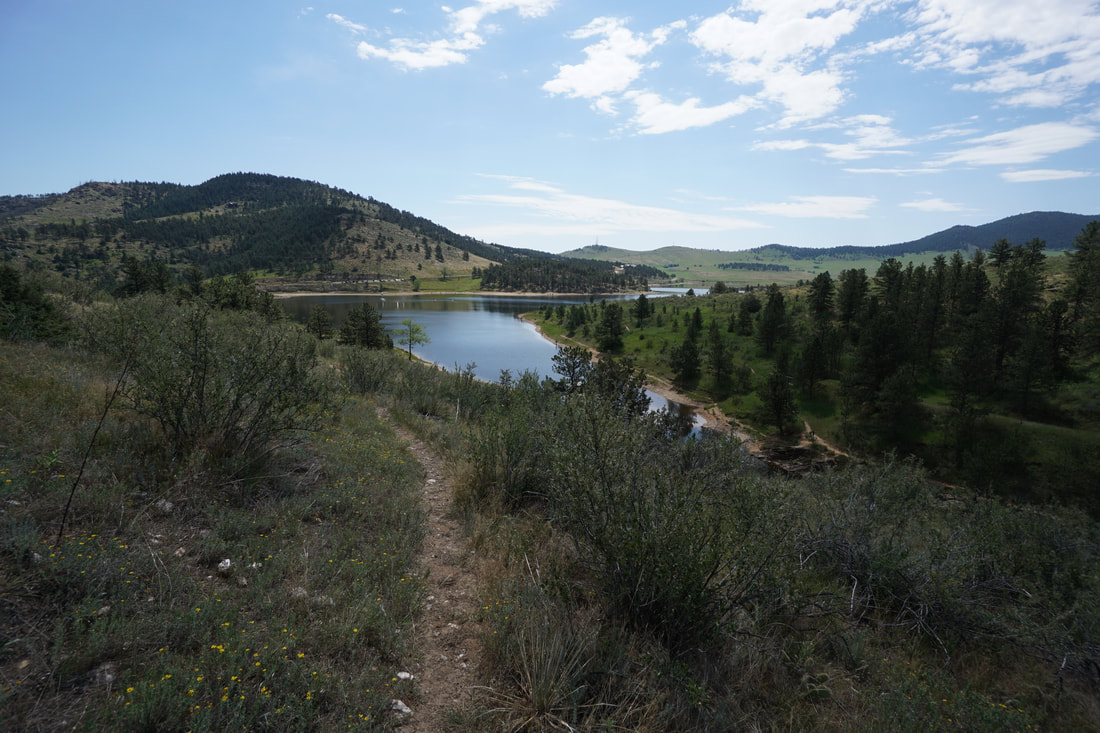
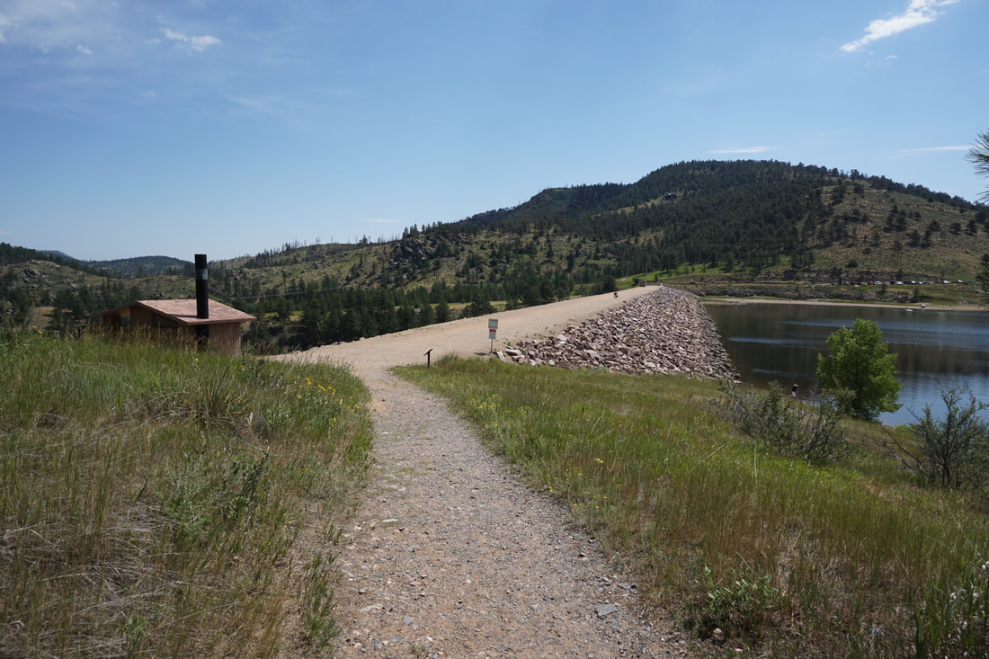
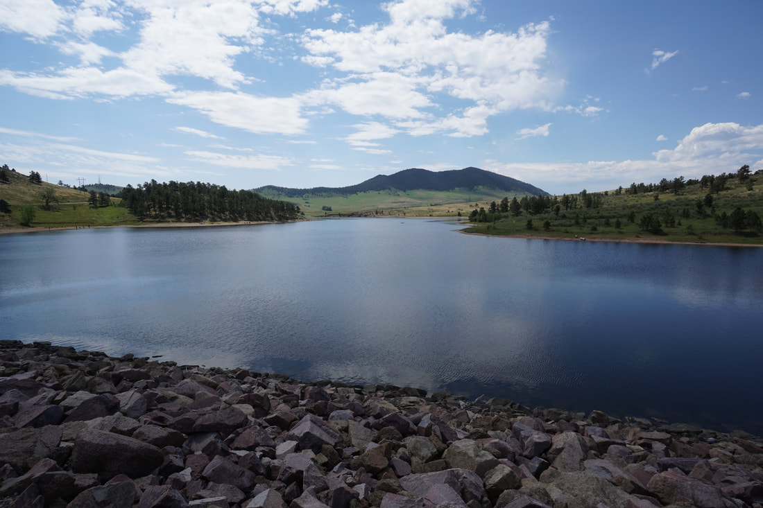
From the parking area on the eastern shore of the reservoir, the trail starts by crossing a wide dam with great views of the reservoir.  At the far side of the dam, the Besant Point Trail heads down to the shoreline while the Shoshone Trail climbs up into the forest.  The trail gently climbs through the pine forest with plenty of rocky outcroppings along the way to enjoy the views. 

At just about the half-way point, there is an unmarked side trail that takes you out to a large rock outcropping with a wonderful viewpoint looking down on the reservoir.  After making your way back to the main trail, continue on the loop.  The next portion of the trail provides great views before descending down to the shoreline and meeting up with the Besant Point Trail.

Turn left back towards the dam on the Besant Point Trail and follow the shoreline through some small aspen groves.  Just when you think the trail is leading straight back to the dam, it turns west and follows "Fisherman's Cove."  Here, you can either take the Fisherman's Cove Trail down to the shore, or stay on the Besant Point Trail as it climbs up the hillside on last time before descending down to the dam.  Re-cross the dam and return to the parking lot.  

Ramsay-Shockey is nice, peaceful open space that see's few visitors, even on busy summer weekends.  With the added bonus of a scenic reservoir, this park provides a nice alternative to the busier Carter Lake, just a few miles to the south.  
© Go Hike Colorado, 2020.  All Rights Reserved. 
Use of photographs without prior authorization is
​strictly prohibited.


Contact us at:
[email protected]
Legal Disclaimer - Information provided on this site is based upon our own observations, always double check information with the appropriate land management agency before heading into the backcountry.  Backcountry travel is inherently dangerous, please take all proper precautions.  Go Hike Colorado is not responsible for injury or incident.