|
|
|
DIRECTIONS: From I-25, head west on route 56 to the town of Berthoud. Continue west on CO Rd 8, following signs to Carter Lake. When you pass through the park entrance, follow signs to the South Shore Campground off of CO Rd 31. Drive through the South Shore Campground as far as you can to a small parking area (enough room for 4 or 5 cars) and the trailhead.
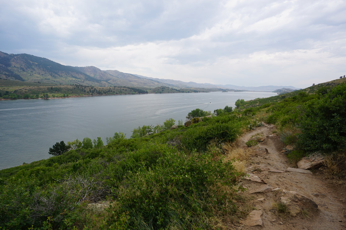
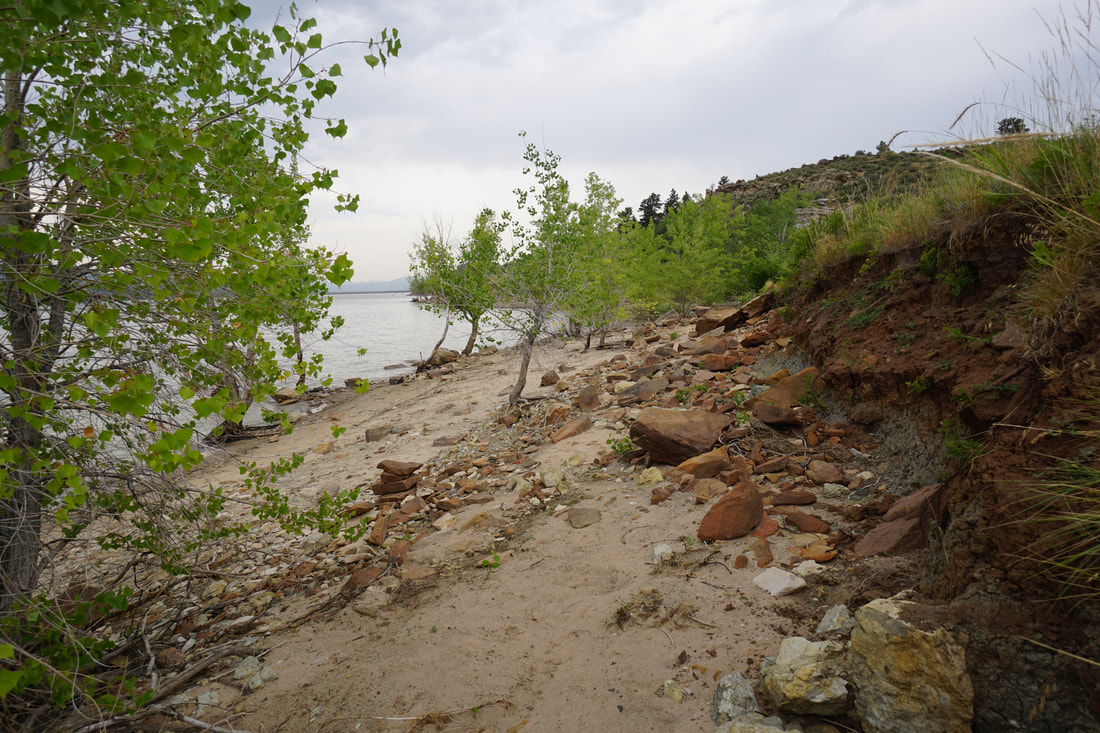
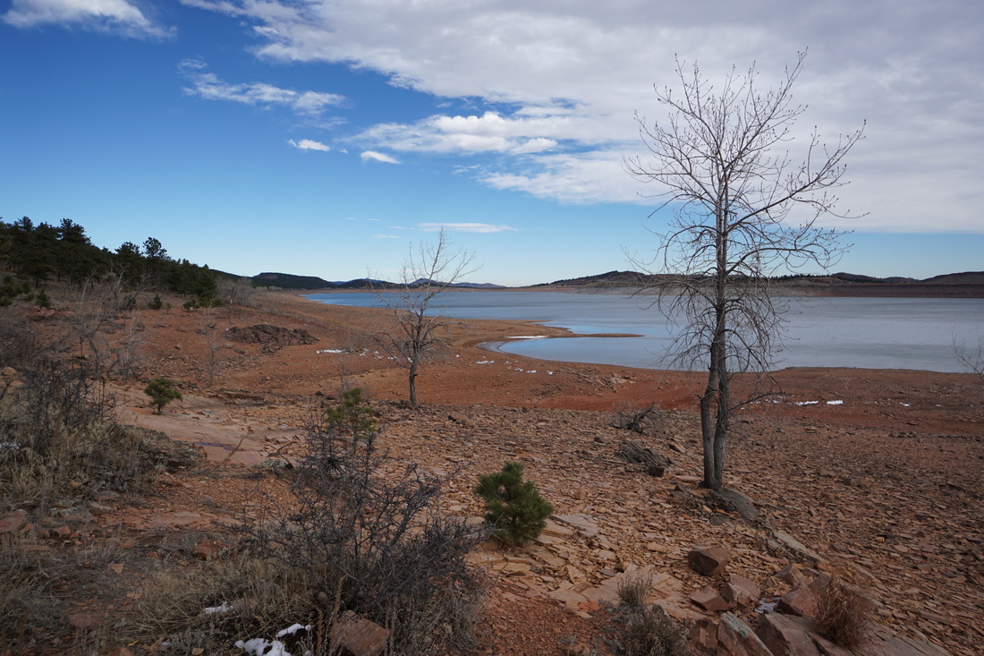
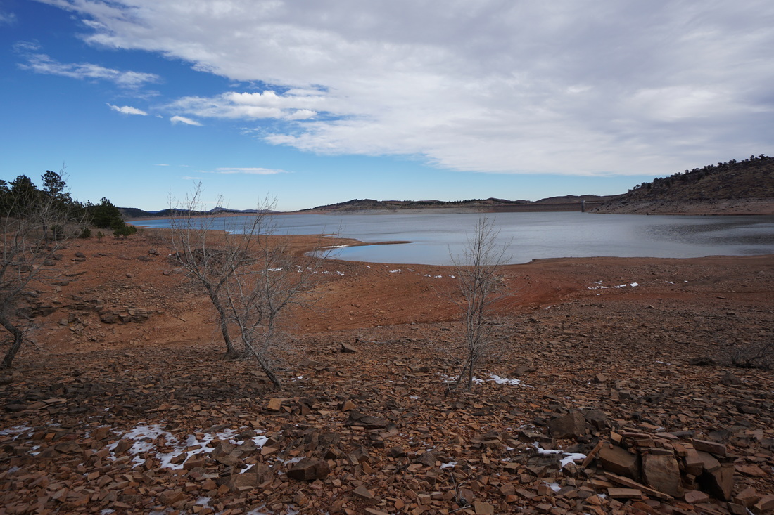
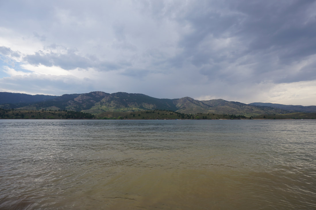
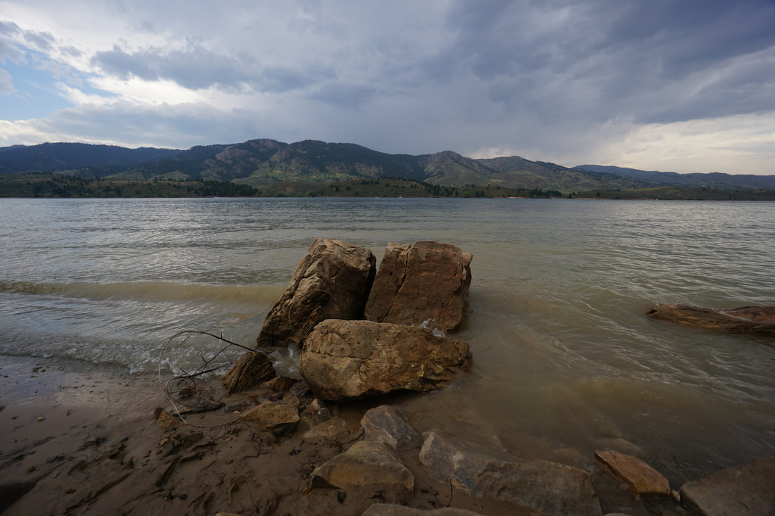
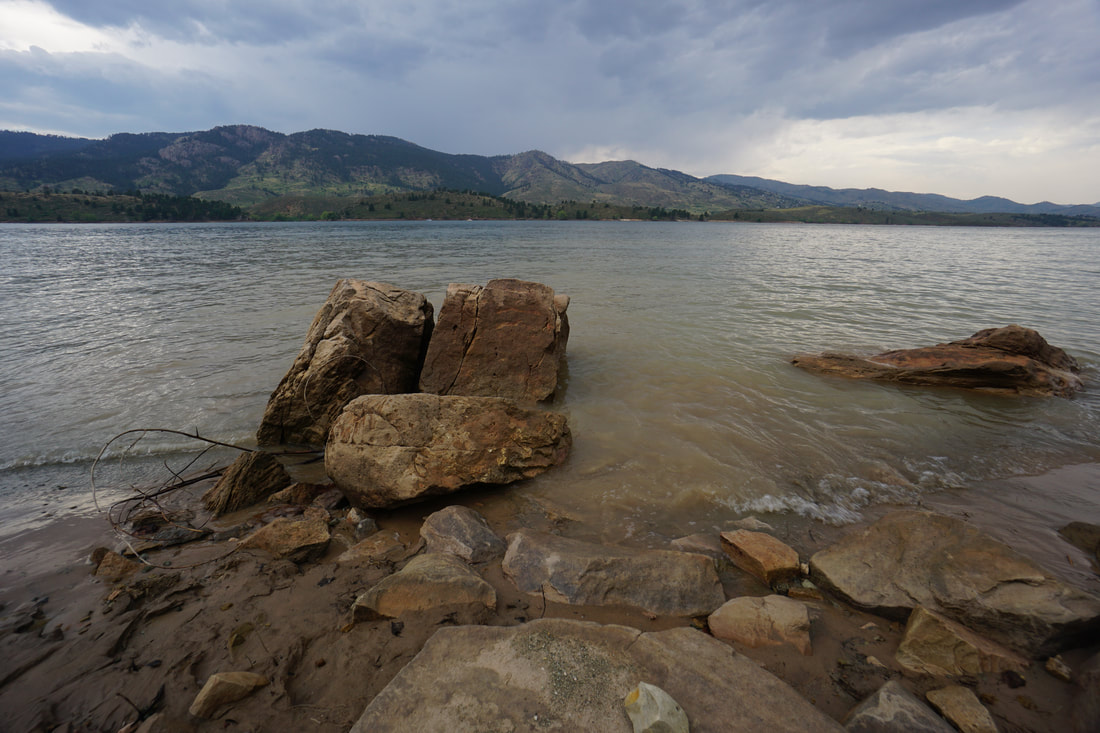
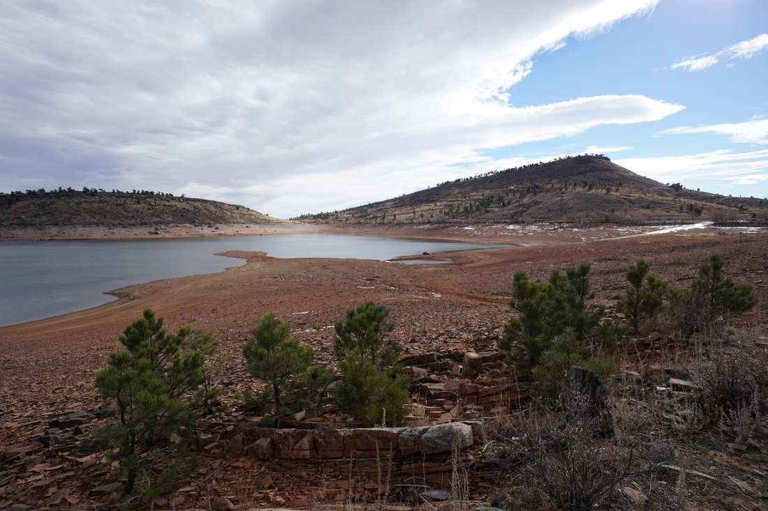
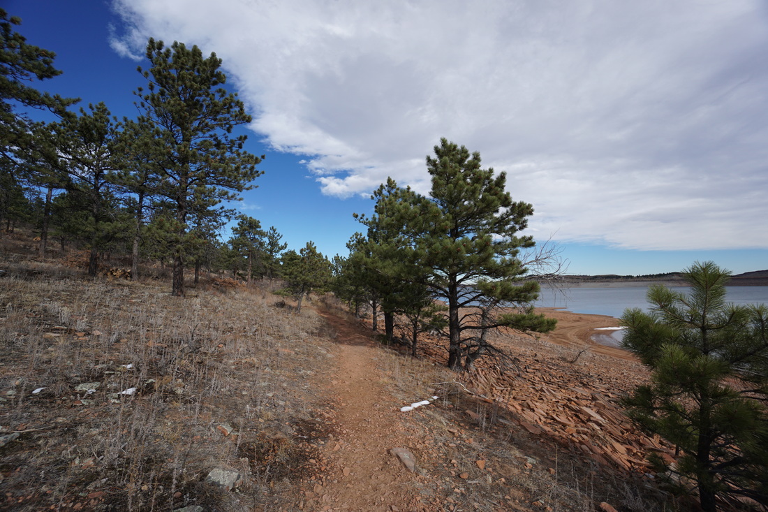
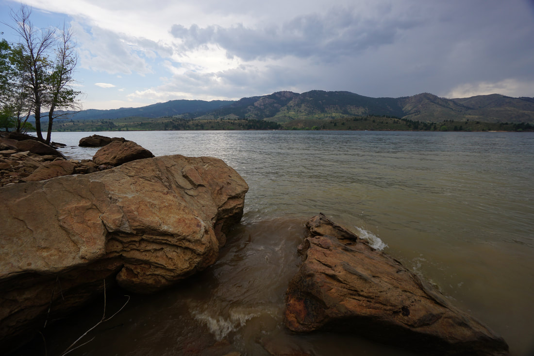
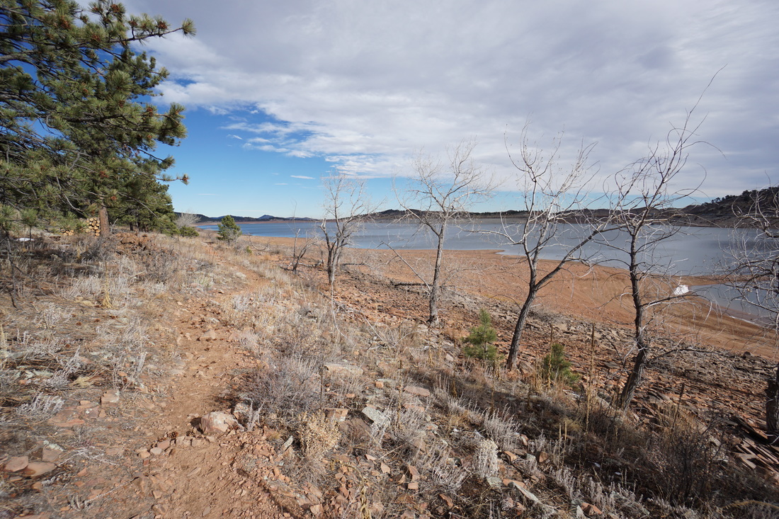
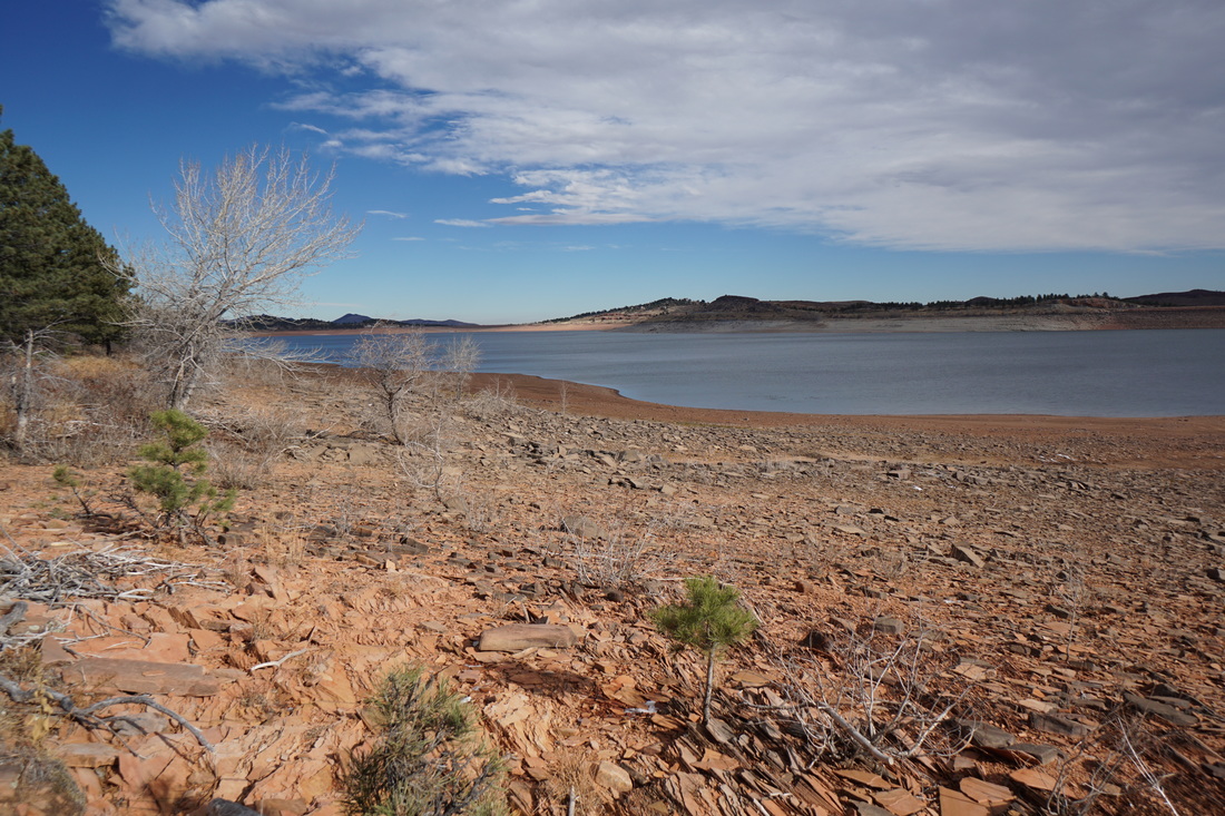
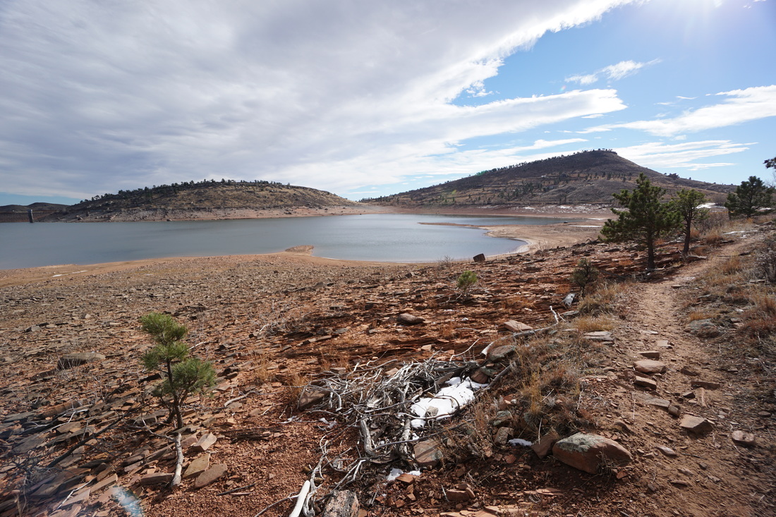
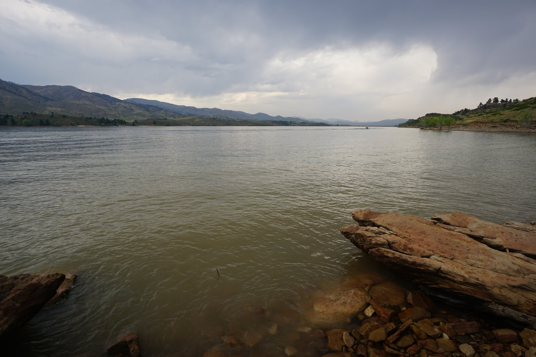
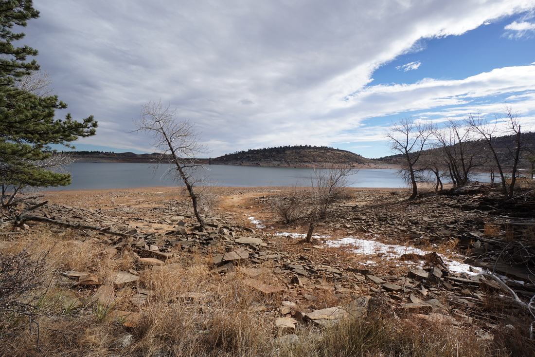
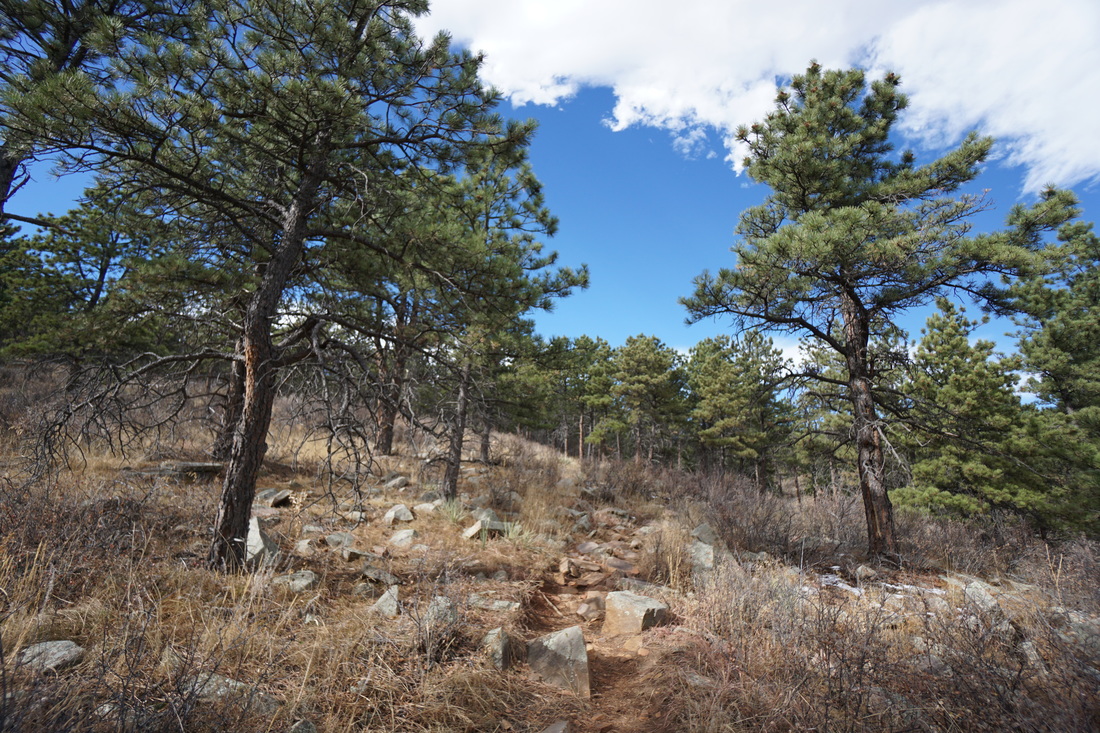
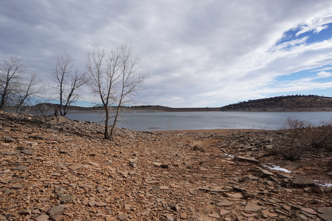
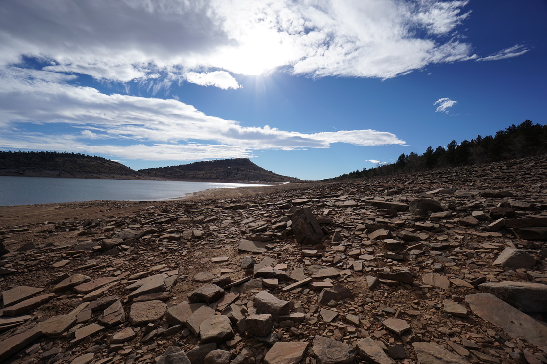
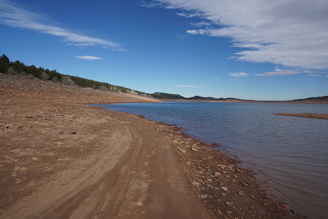
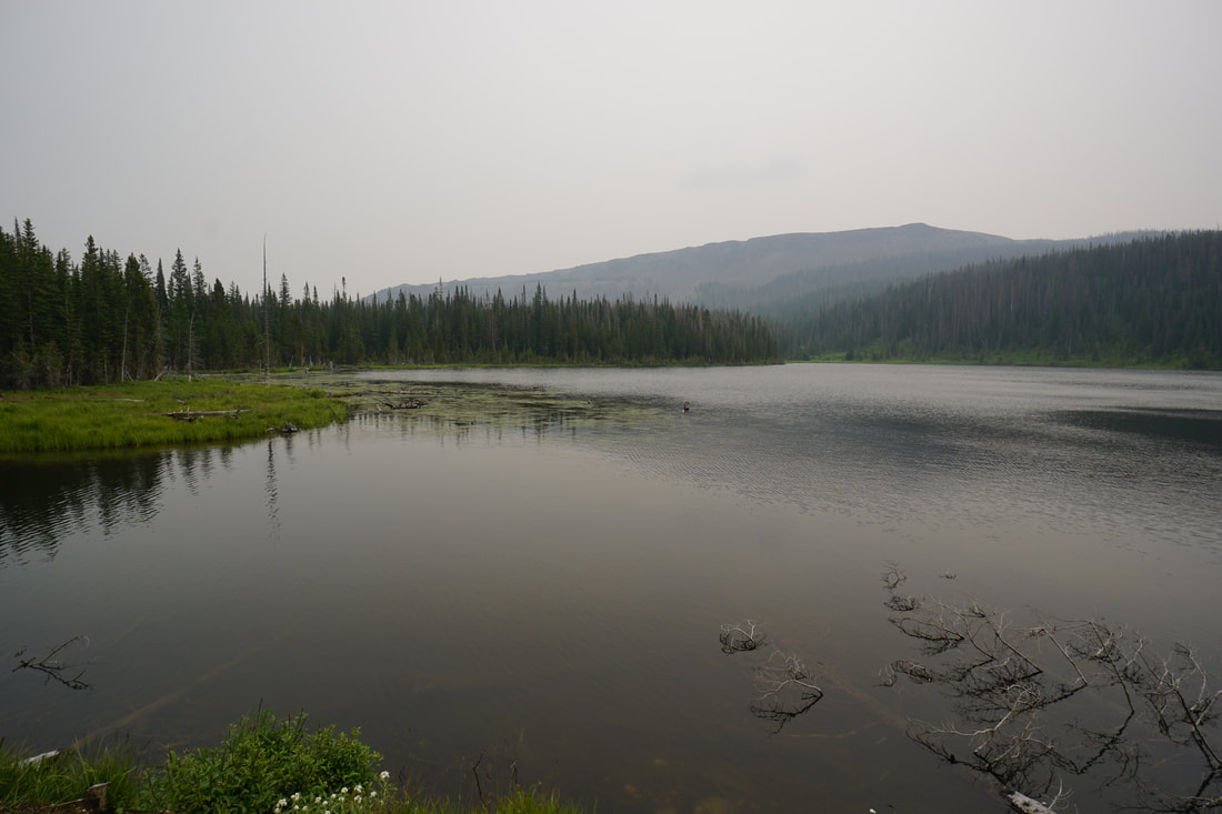
The Sundance Trail follows the western shore of Carter Lake and is a somewhat rare hiking experience in Colorado. There are not many places where you can follow a large lake shore and explore sandy beaches. Carter Lake is one of those places. The trail is relatively easy albeit rocky in some places and connects the Southern Shore Campground to the North Shore Campground, 3 miles apart. When the water levels are low enough, you can also climb down to the lake shore and hike along the sandy beach by the water’s edge. The western shore is forested with Pine and evergreen trees and the views are mostly to the east and the hogback ridge that makes up the eastern lake shore.
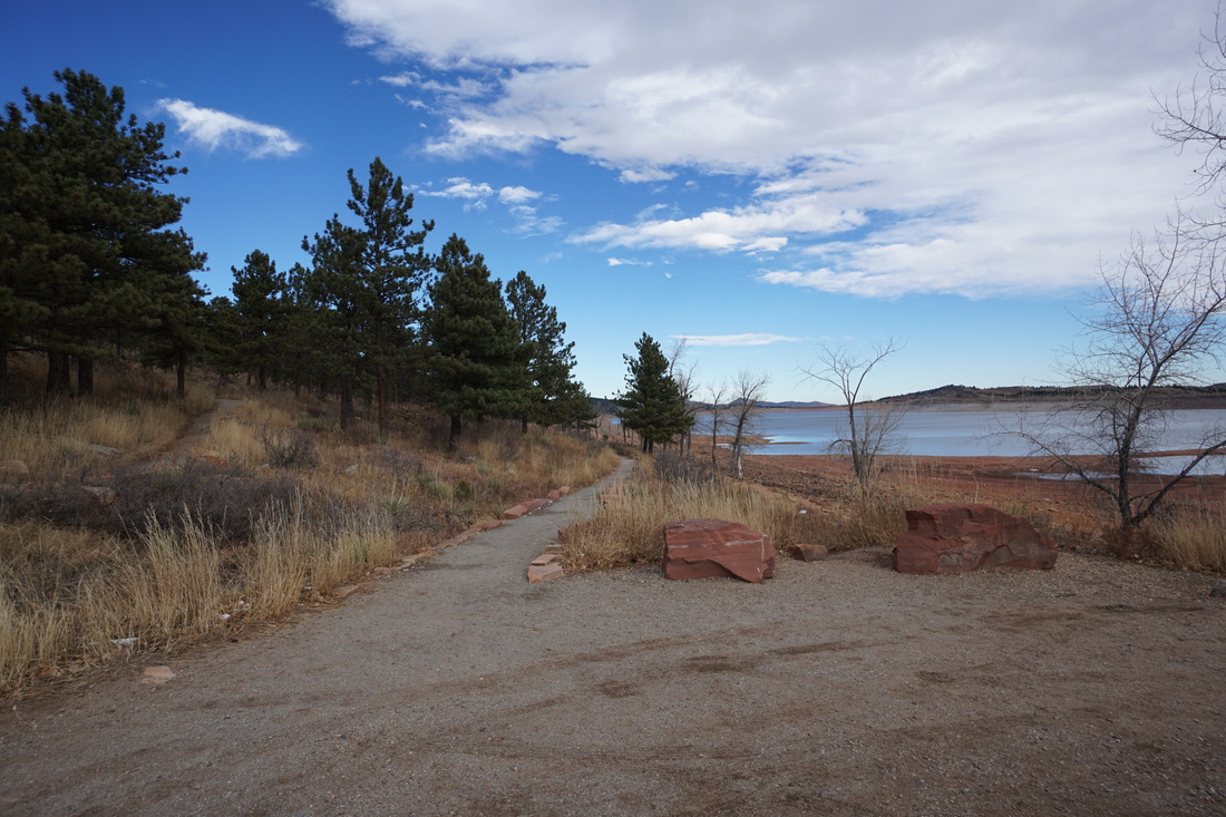
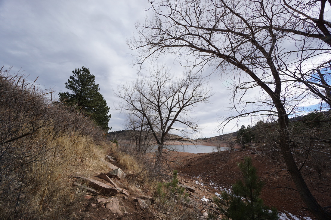
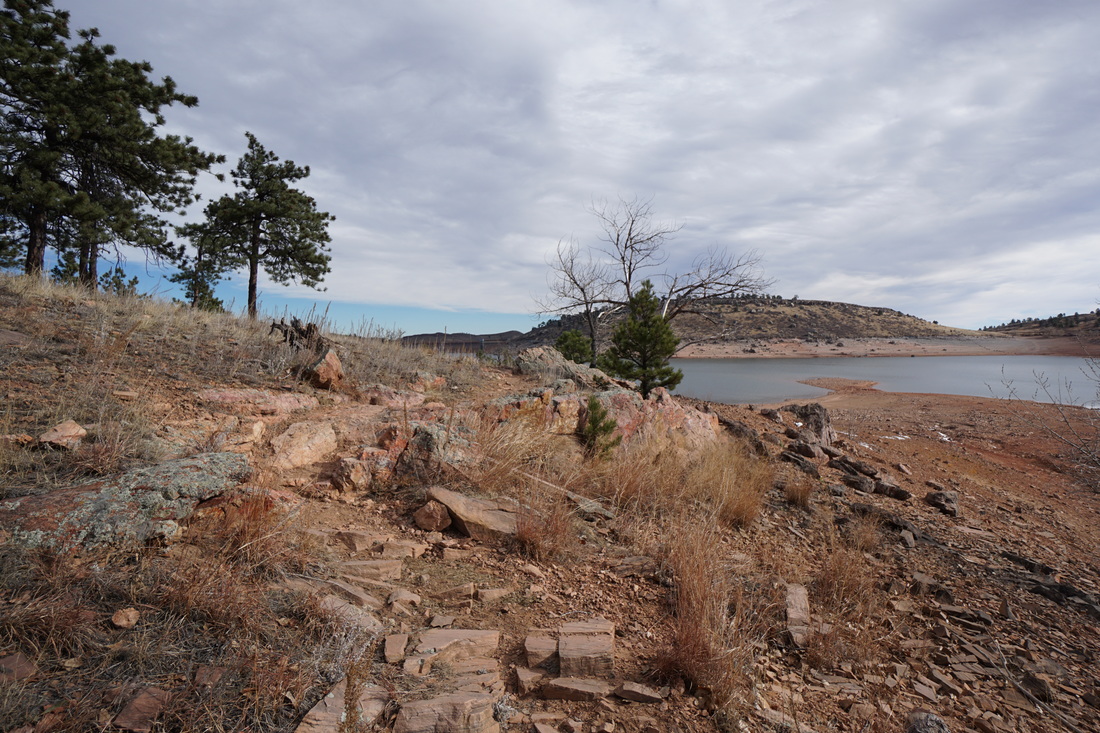
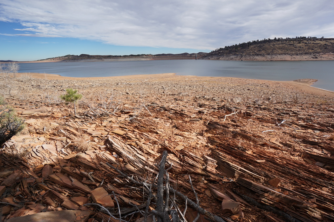
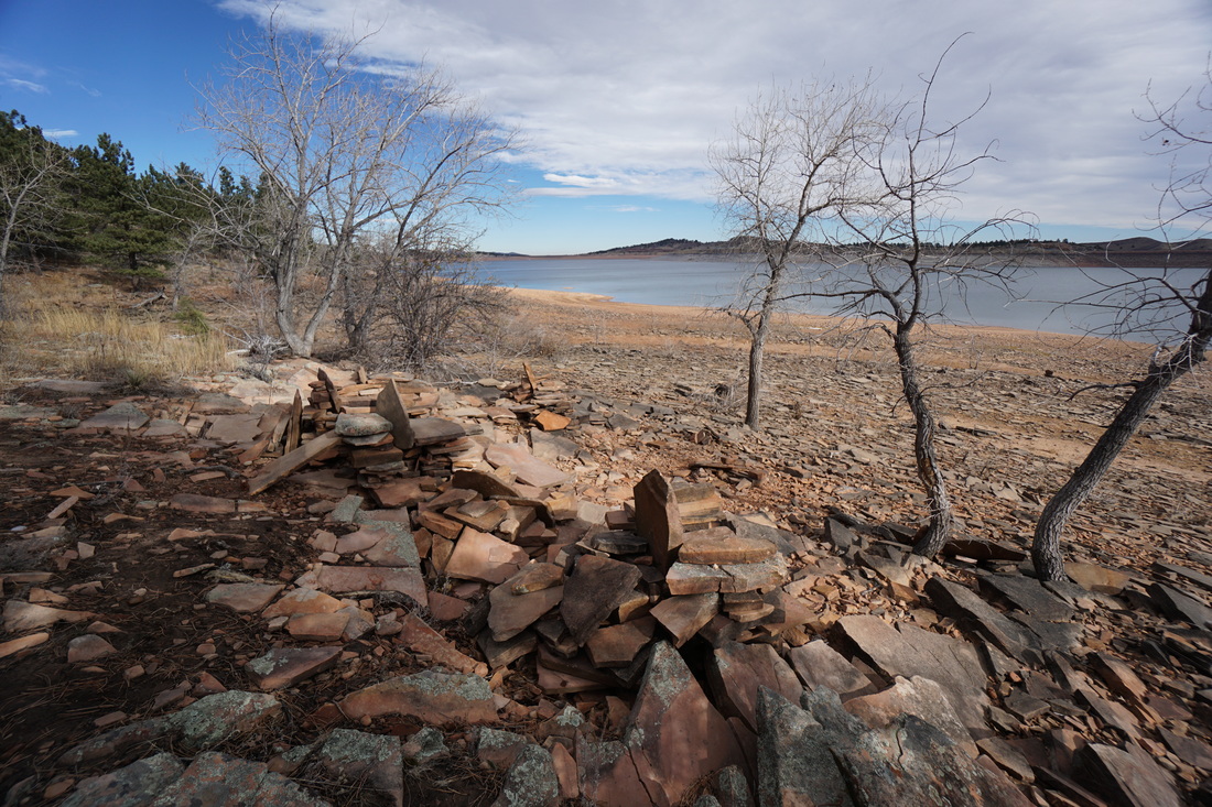
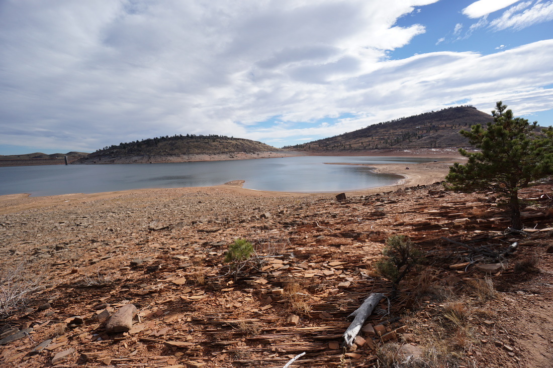
This trail description starts at the northern end of the South Shore campground. From the parking area, there are two gravel paths leading north. One head uphill, the other stays level along the lake shore. Take the level path. For the first short portion of the hike, the trail is gravel and easily navigated. After a short while, the path leads to a picnic area and the trail becomes much more primitive. Although rocky, the trail remains level and the hiking remains easy. If you don’t want to hike the entire 6 roundtrip miles, there are various viewpoints along the way that make nice destinations. You can also find good places to walk east to the lake shore, when the water levels are low. One such place is located about 1 mile from the trailhead at a small inlet/drainage. The path will be obvious and while off-trail, it is difficult to get too lost, just remember where you left the trail or follow the lake shore back to the trailhead. The lake shore is sometimes populated by trucks driving to fishing spots, so watch out if you are walking along the lake shore. Go as far as you like, and then work your way back to the beginning. The geology along the lake is very interesting with shale and sedimentary rock outcroppings in abundance. Keep an eye out for various rock thrones built with the long flat rocks that make up the shore bed. |
|